The park includes a camping area, and a popular swimming hole on the East Fork Lewis River. There are also a few trails to explore. One trail parallels the freeway, offering a good climb. A loop can be walked. If you start at the parking Day Use parking area, you can walk up the road a short distance to the trail on your right. Take that trail up a climb, over the hill, then down to cross the road, through the woods to the small waterfall. From there, go down to the river and follow the river trail back to the Day Use area. You can extend the loop by following trails up to the campground area, and out into the neighboring Clark County Legacy Lands (the neighboring fields).
The state park is bordered by land owned by Clark County as part of their Legacy Lands program. Some of this land is across the river from the park and more is up river from the park.
Trails in the park are mapped on trails.com. The map embedded below shows an approximation of the location of trails within the park.

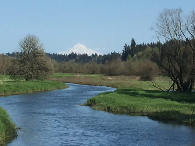
East Fork Lewis River, just upriver from Paradise Point State Park. 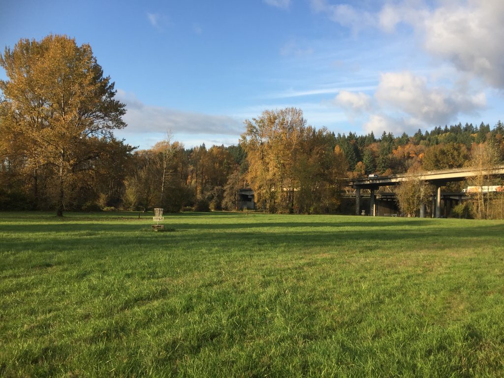
Paradise Point State Park Disc Golf course 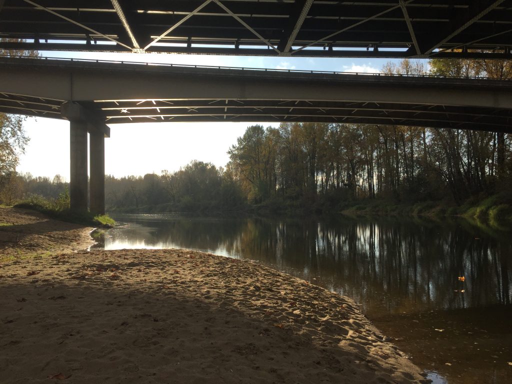
Paradise Point State Park, East Fork Lewis River under I-5. 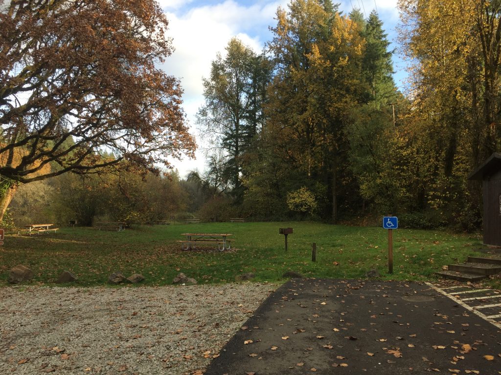
Paradise Point State Park, going east. Cross this picnic area to a trail along the East Fork Lewis River. 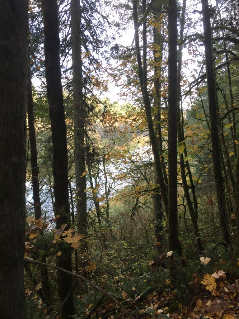
East Fork Lewis River from the road into Paradise Point State Park. 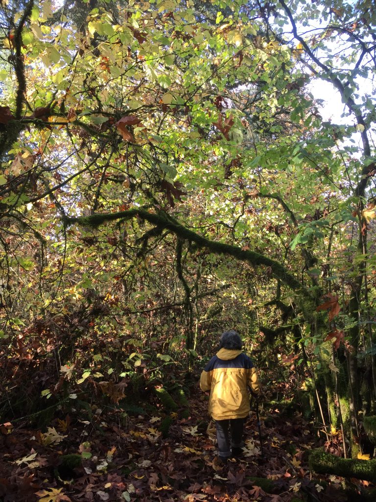
Paradise Point State Park, trail parallel to I-5. 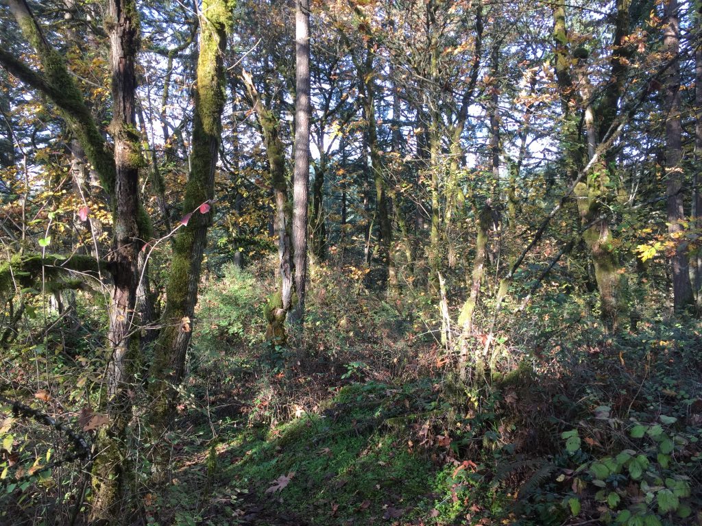
Paradise Point State Park, trail parallel to I-5. 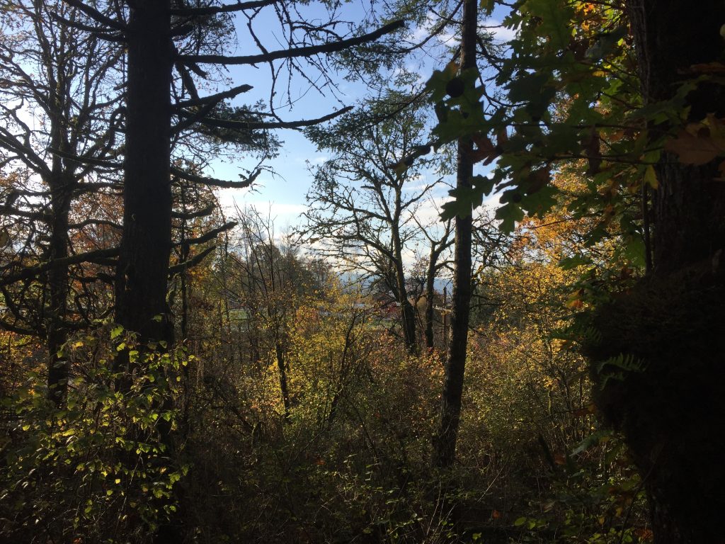
Paradise Point State Park, view from trail parallel to I-5. 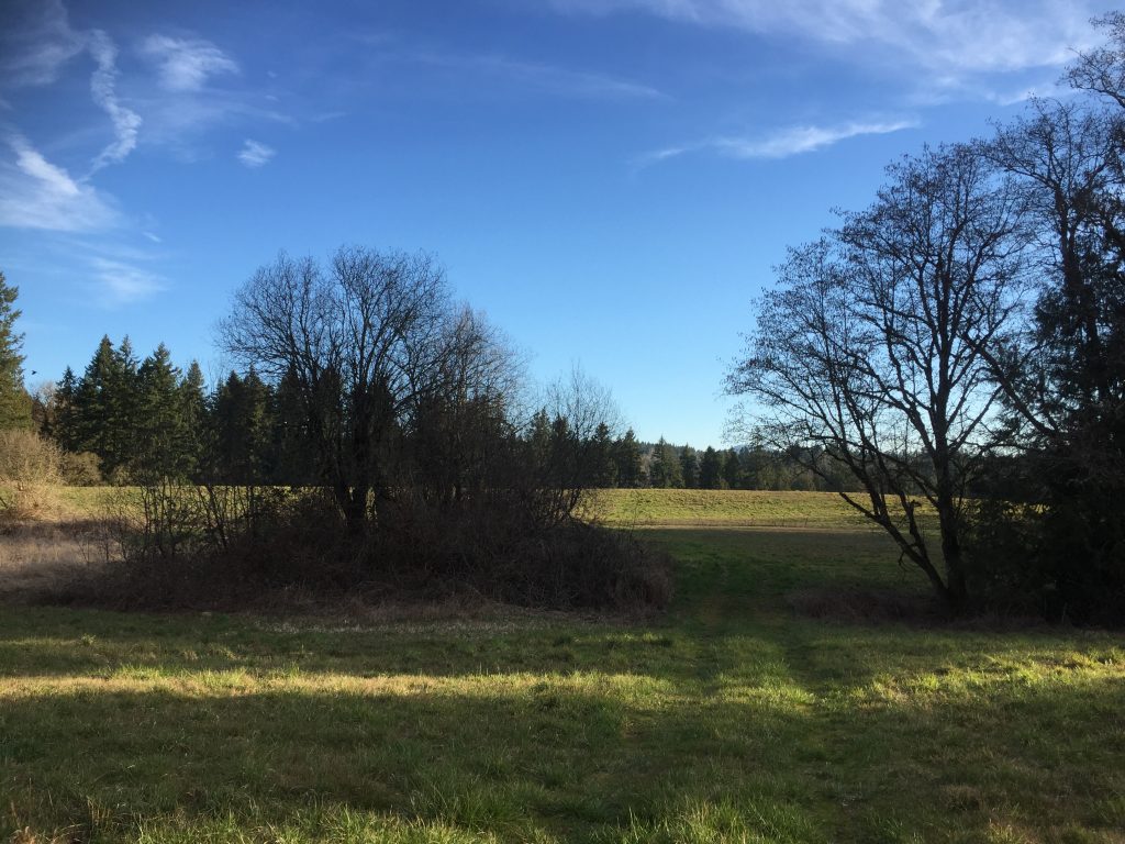
Clark County Legacy Lands next to Paradise Point State Park 
A trail in Paradise Point State Park 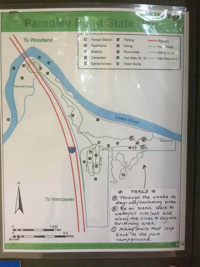
Map of trails posted at Paradise Point State Park campground.
