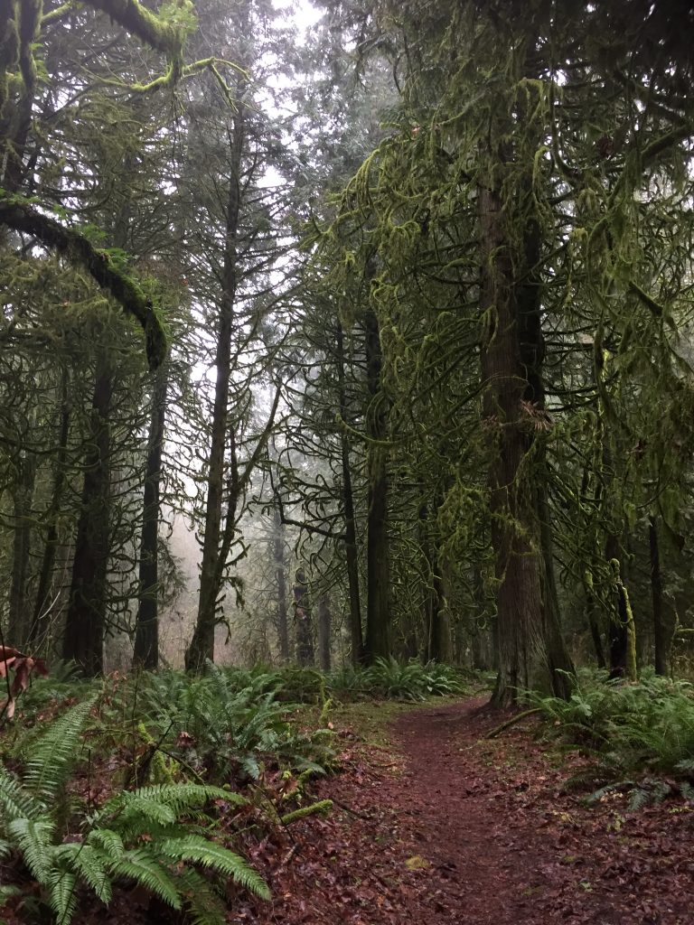
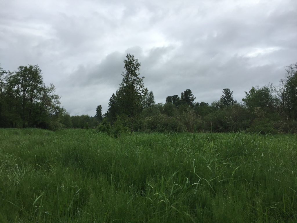
If you visit the Whipple Creek Hollow Natural Area, there is a sign showing local trails, and the sign includes a trail following east along Whipple Creek from Union Rd. However, if you go to the start point for this trail, you will see a gate with a “Keep Out” sign on it.
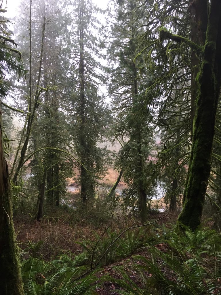
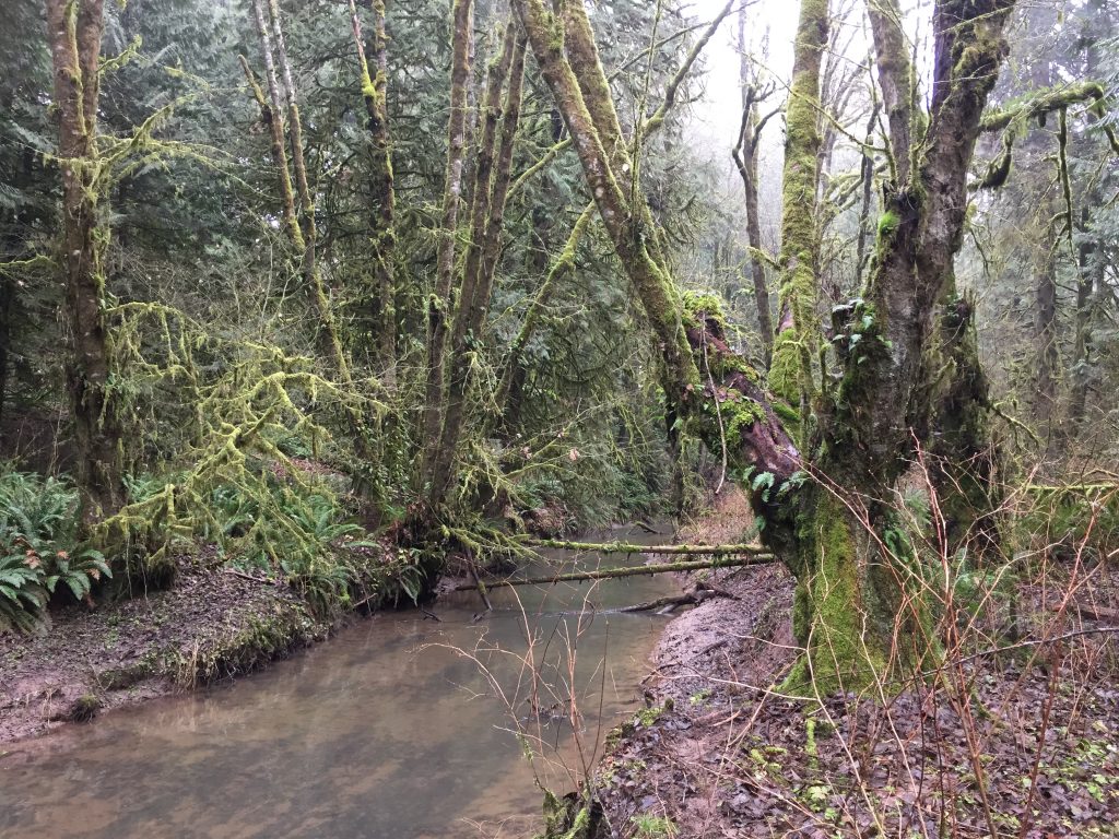
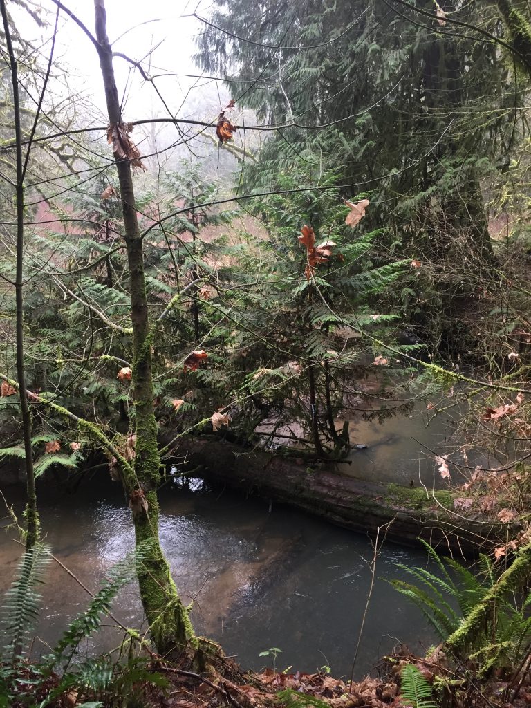
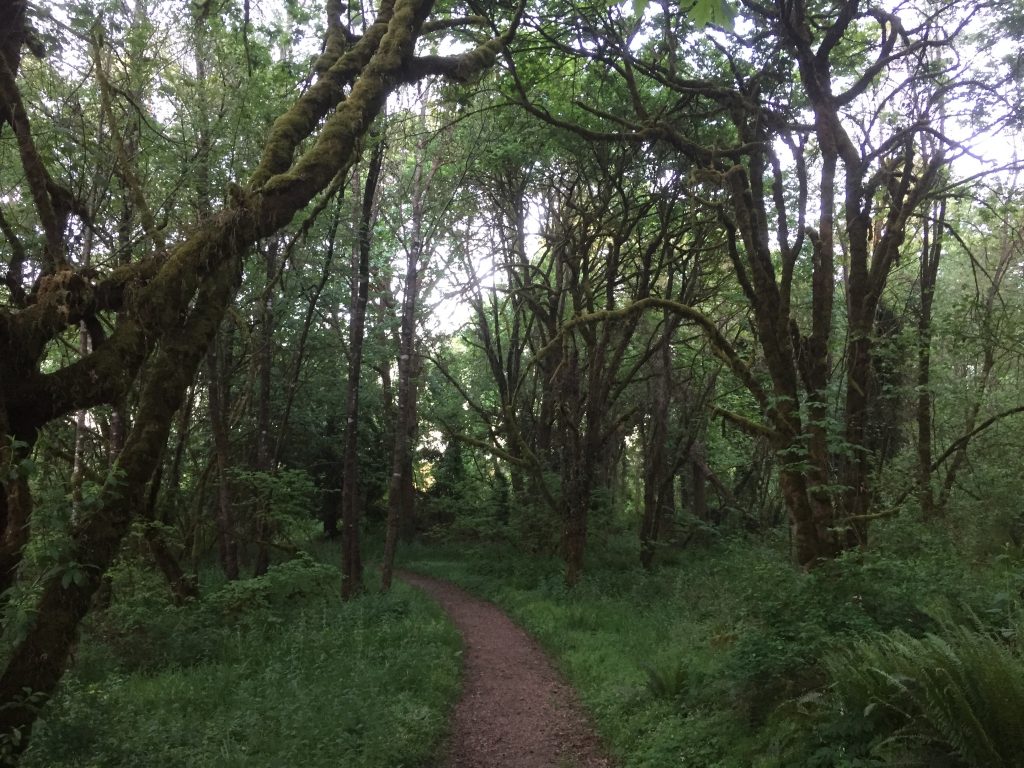
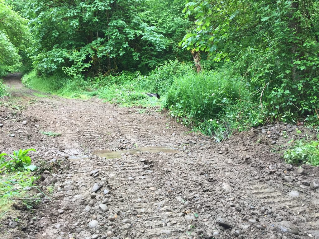
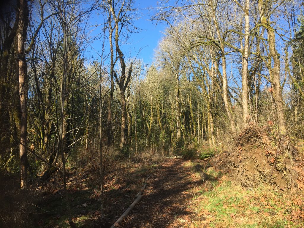
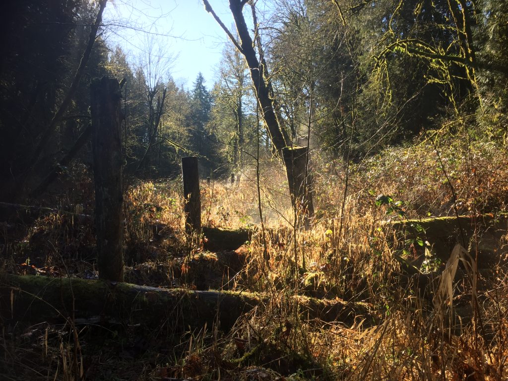
The gate keeps vehicles out, but on foot you can walk around it. The access road goes to a pair of storm water management ponds, and beyond the ponds is a trail to follow Whipple Creek. This trail, however, is un-maintained and may be impassable at times. There are a series of old log walks which help get past some of the muddy areas, but when I visited, the last log ended in a bush and over a puddle. Without high boots, I could not go further.
It would be great, and likely in the plans of the parks crew, to eventually improve this trail and build a bridge across Whipple Creek so that it can connect to the Salmon Creek Community Club Park and continue up stream to the Whipple Creek Hollow Natural Area.
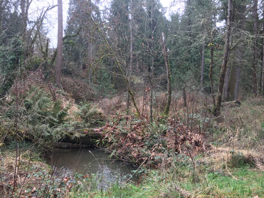
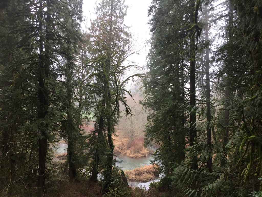
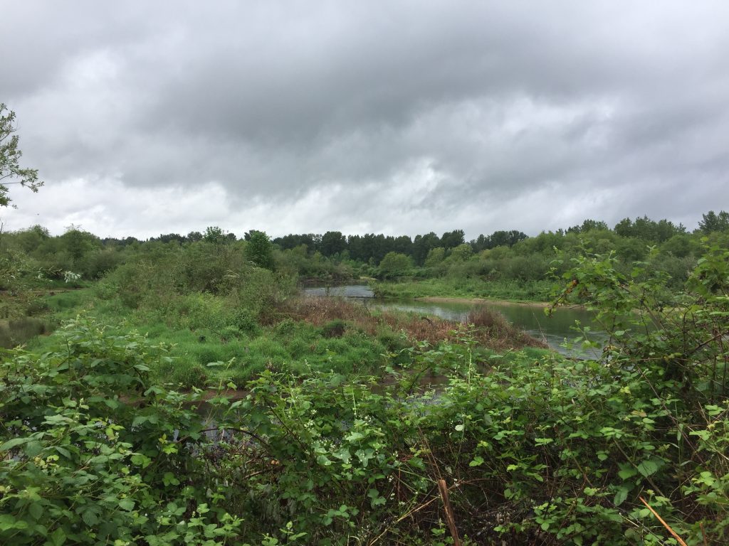
Whipple Creek 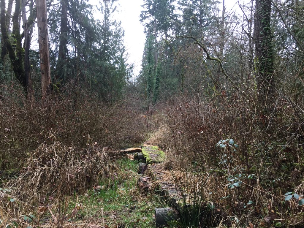
Logs forming a trail along Whipple Creek