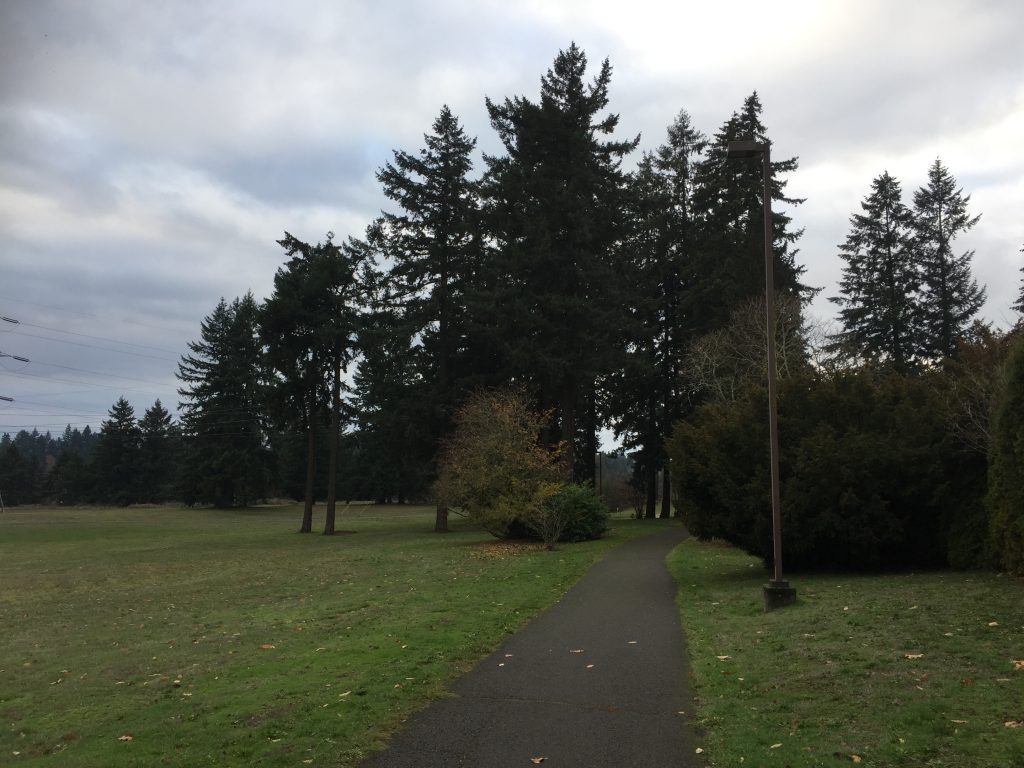
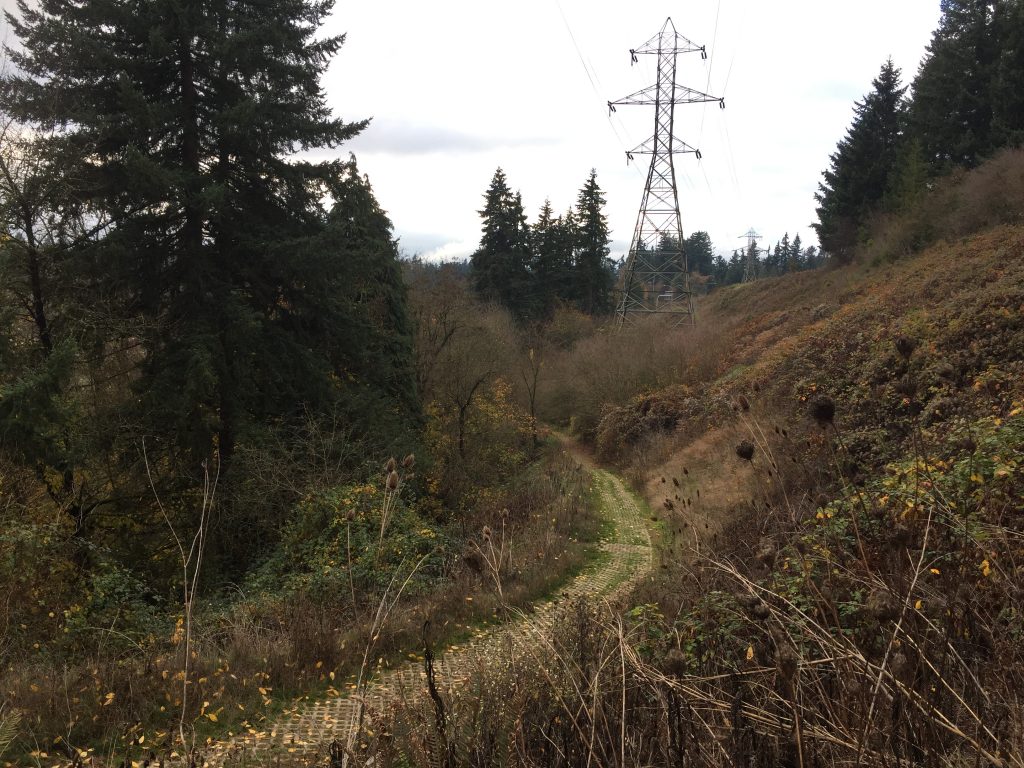
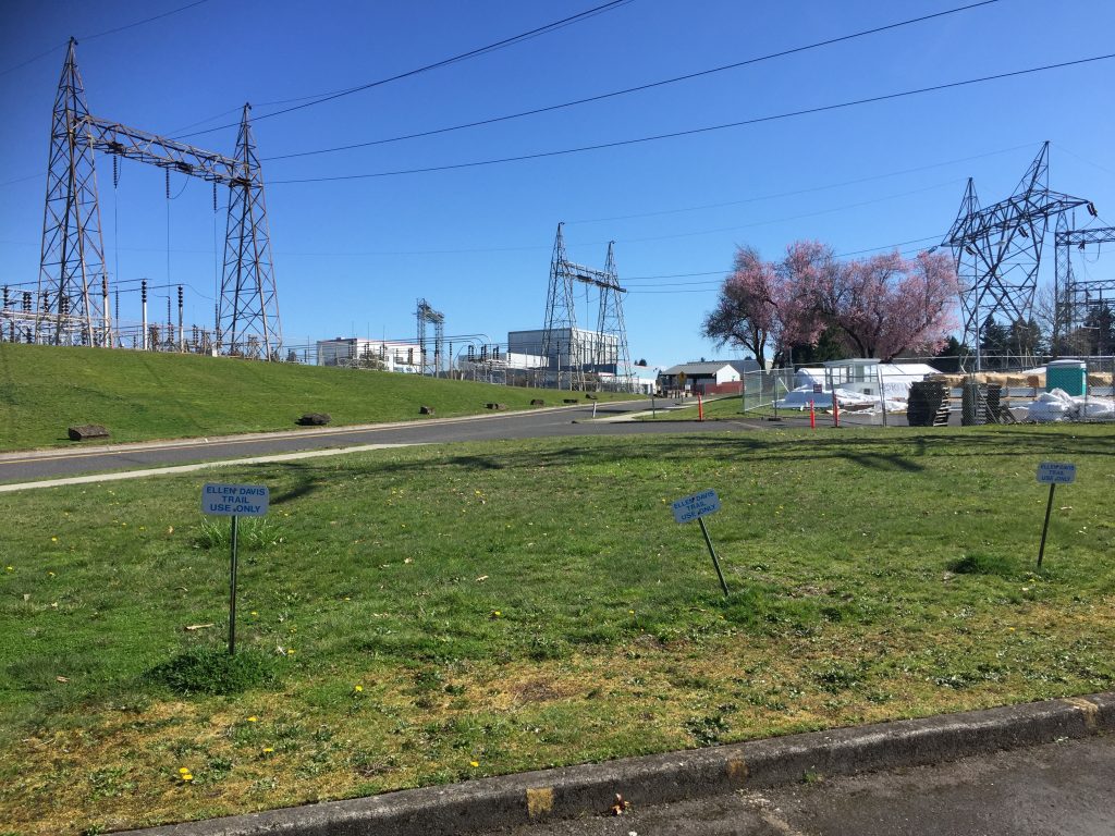
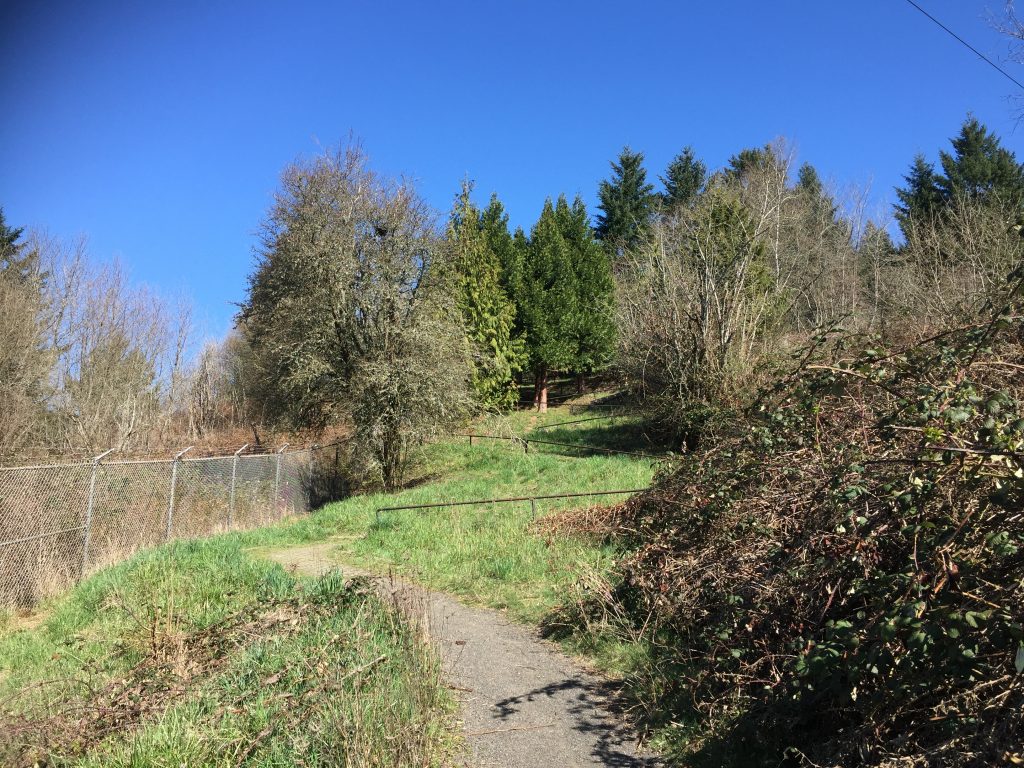
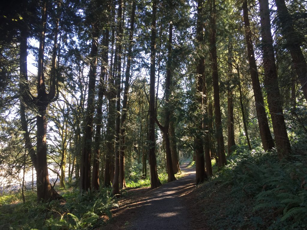
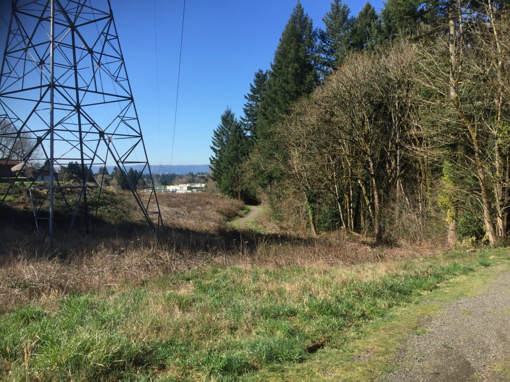
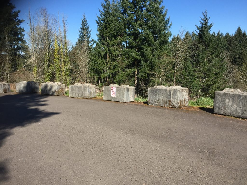
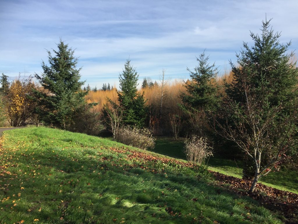
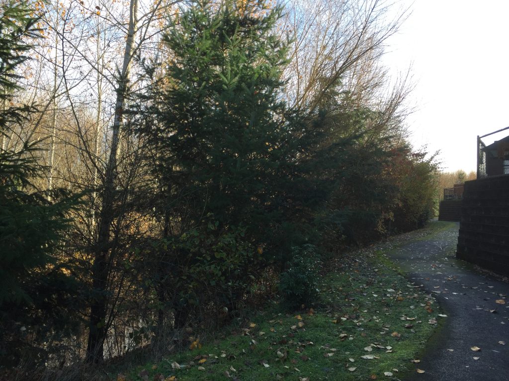
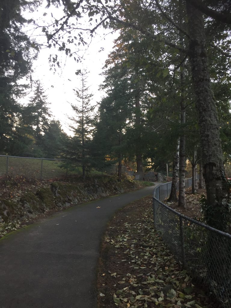
The Gee Creek Trail is a 3/4 mile path connecting from Pioneer St to Heron Dr. through Abrams Park. Heron Dr to the park is paved, but in two spots follows what appear to be private driveways, including a stretch passing right next to a house and out buildings now owned by the city. From the park to Pioneer St is dirt.
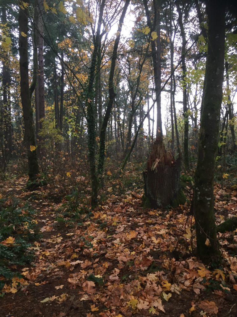
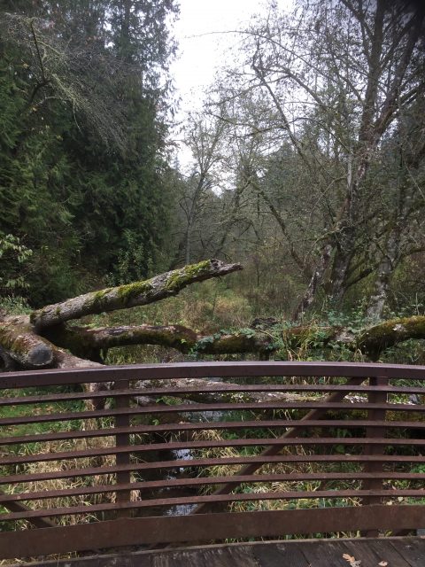
Gee Creek Trail from Pioneer St. 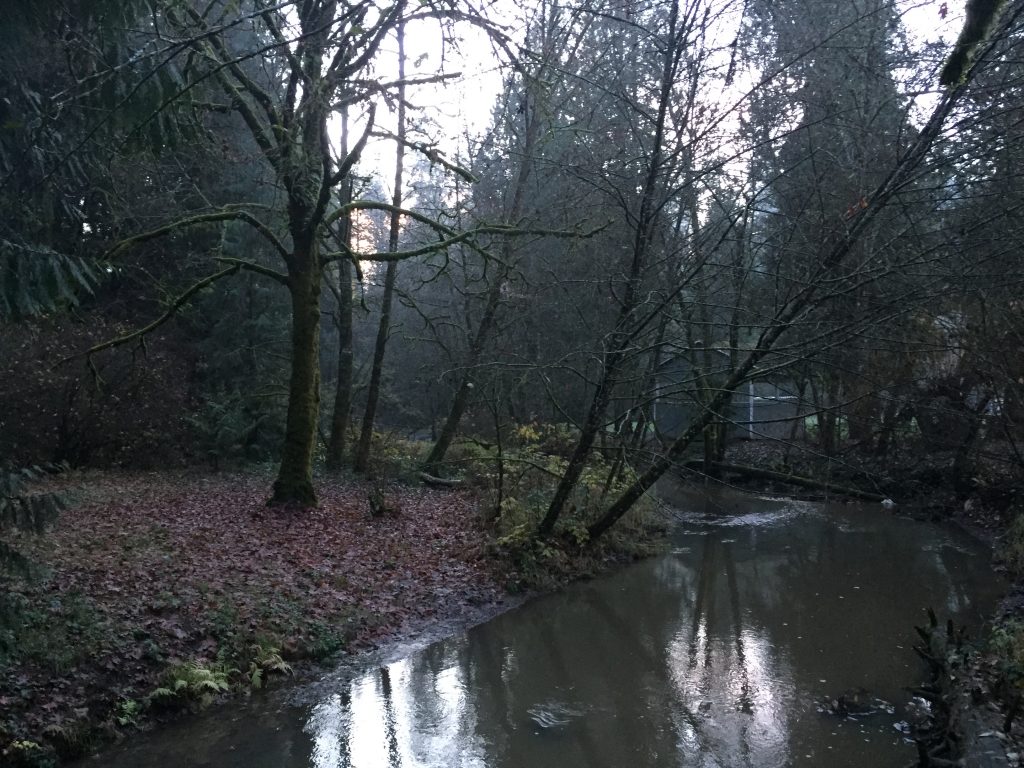
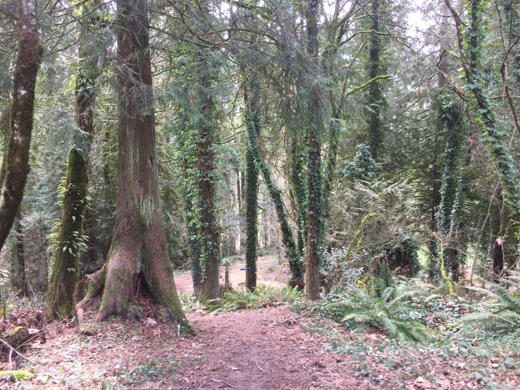
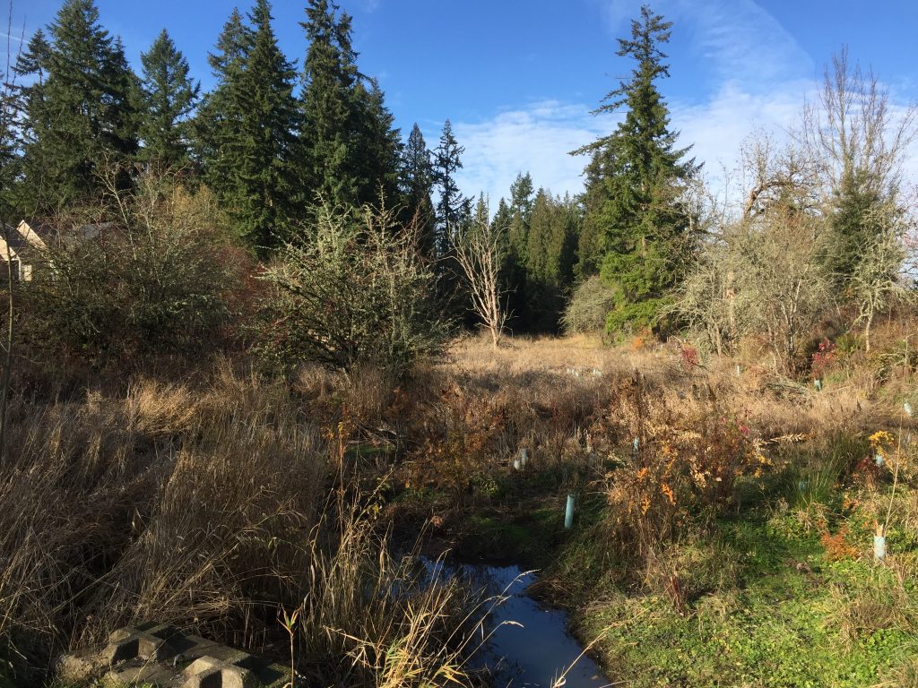
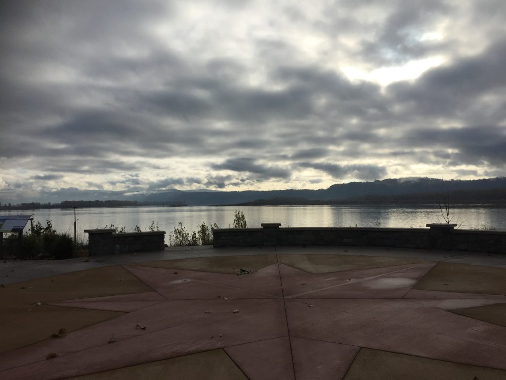
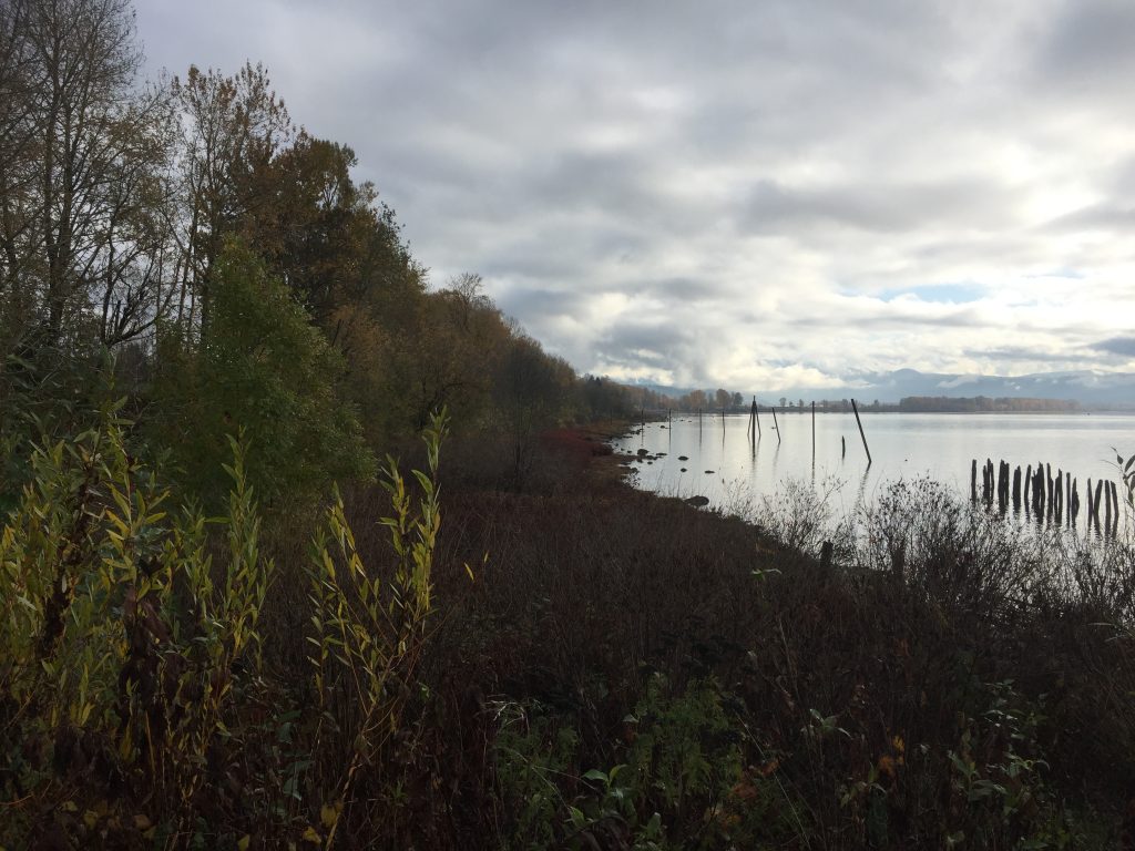
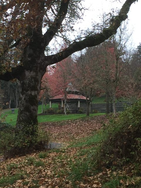
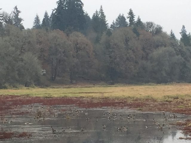
Gee Creek in Abrams Park 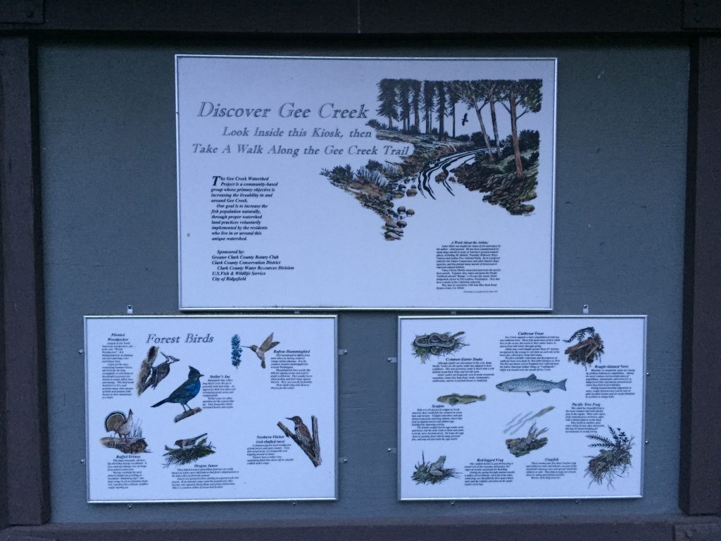
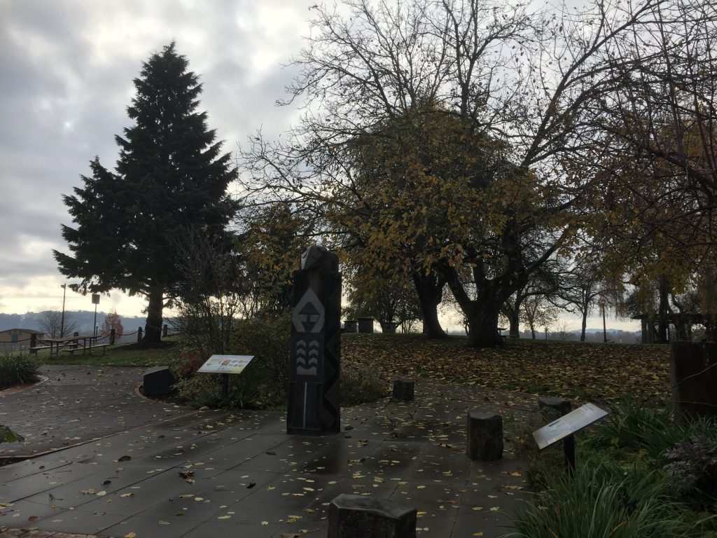
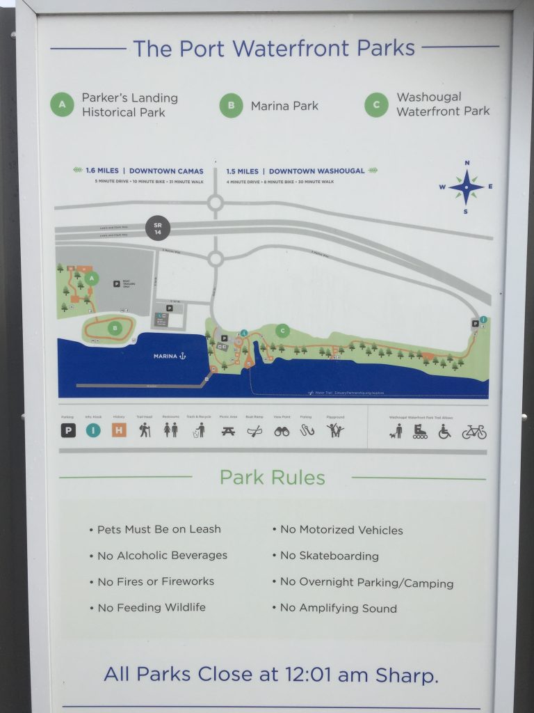
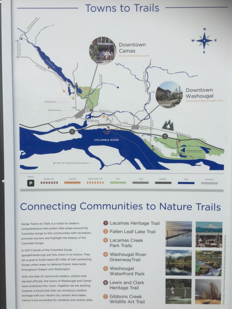
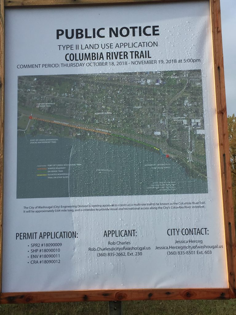
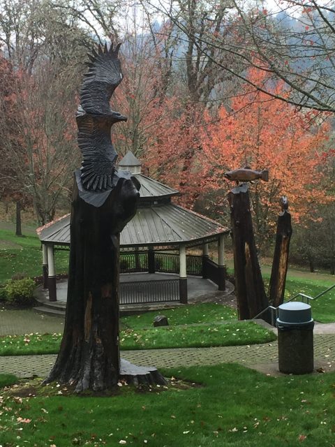
A number of great informational displays have been posted along the Gee Creek Trail in Abrams Park. 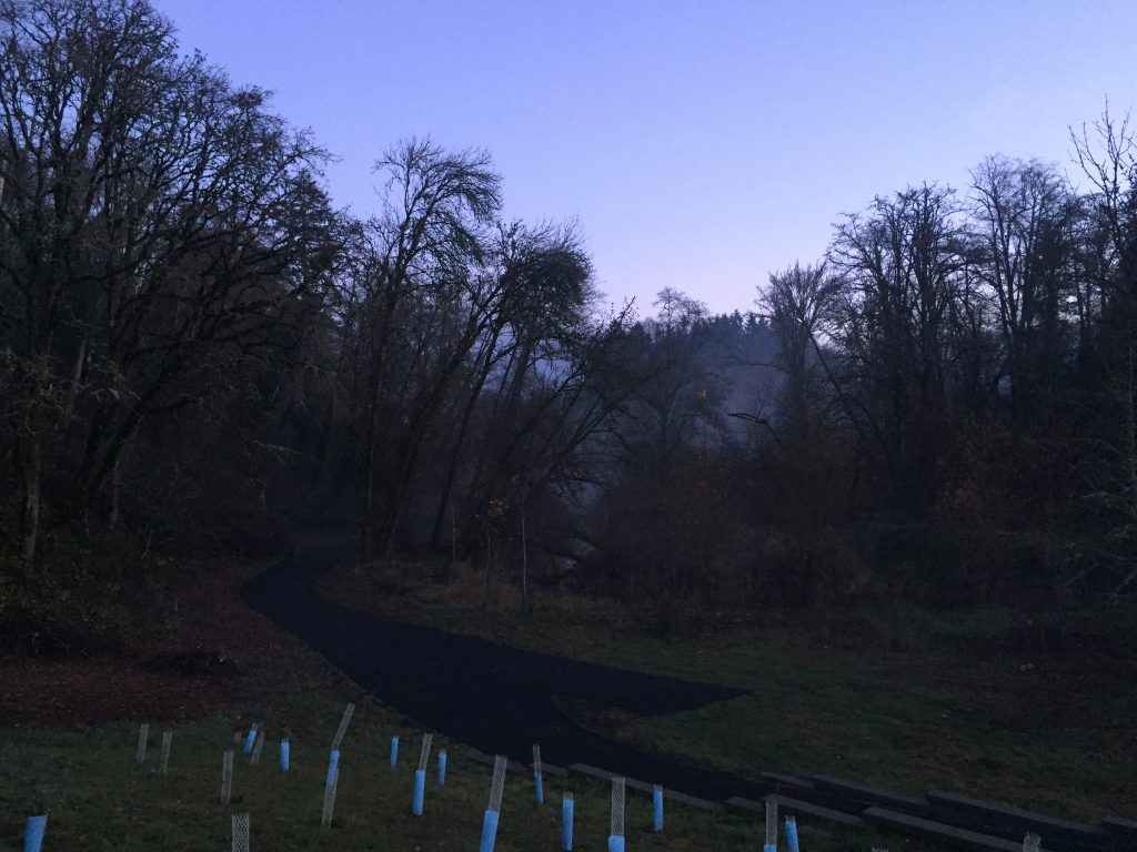
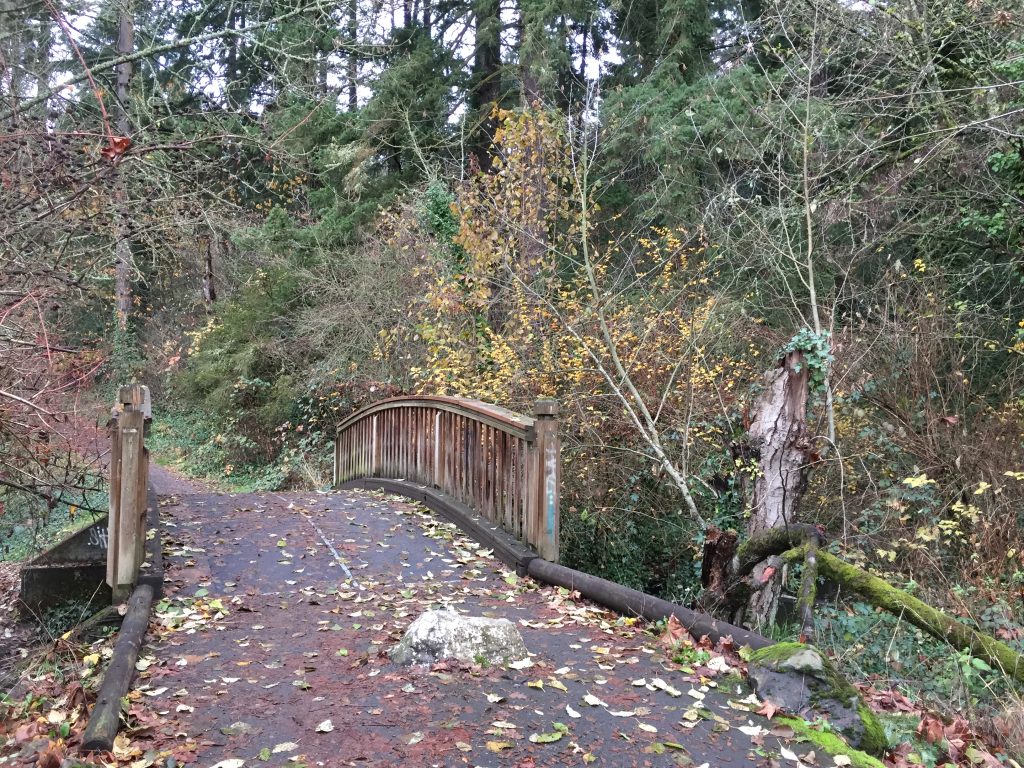
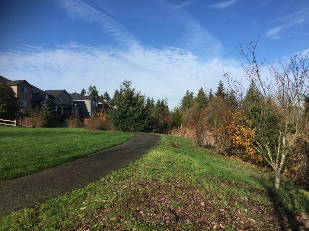
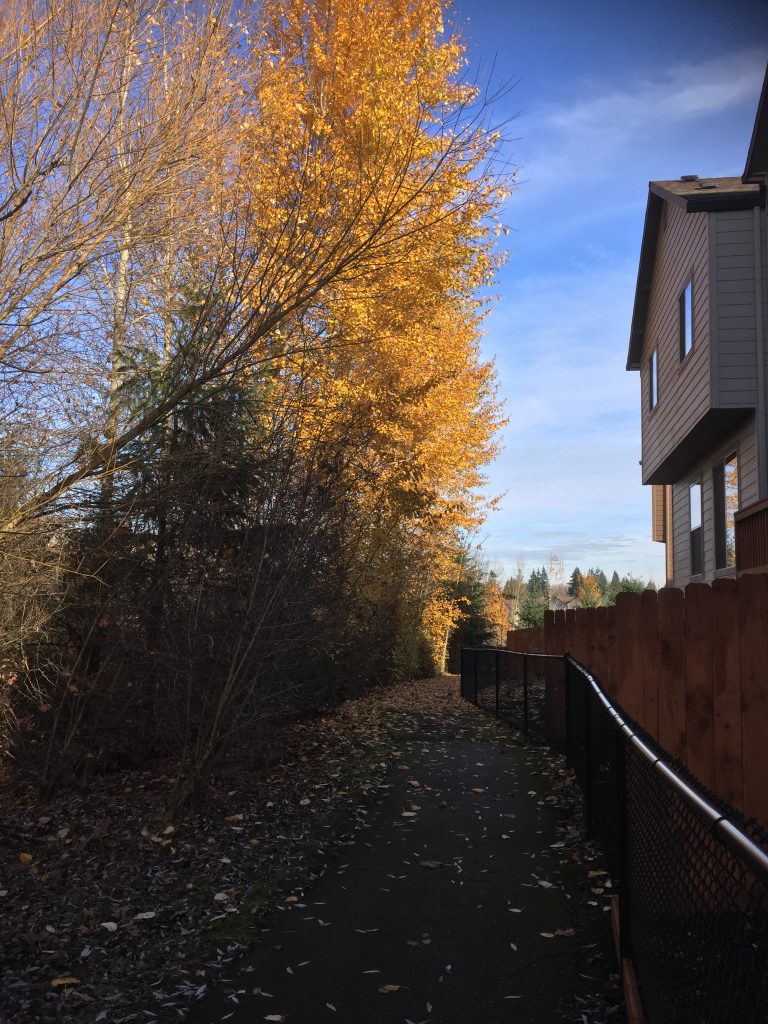
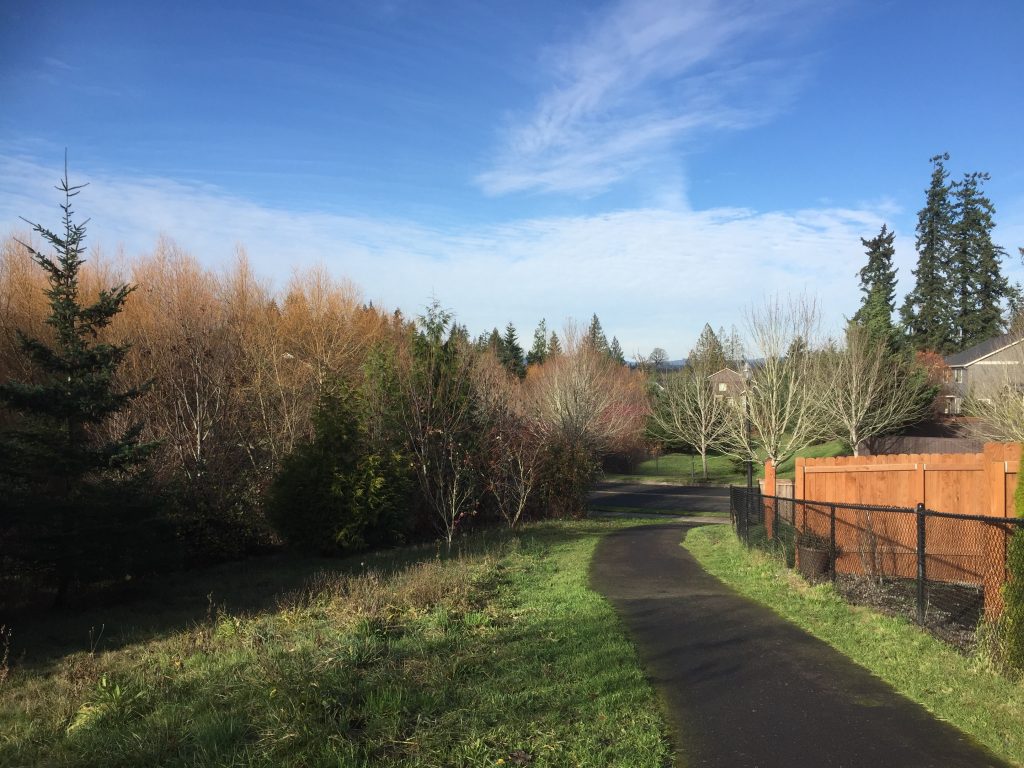
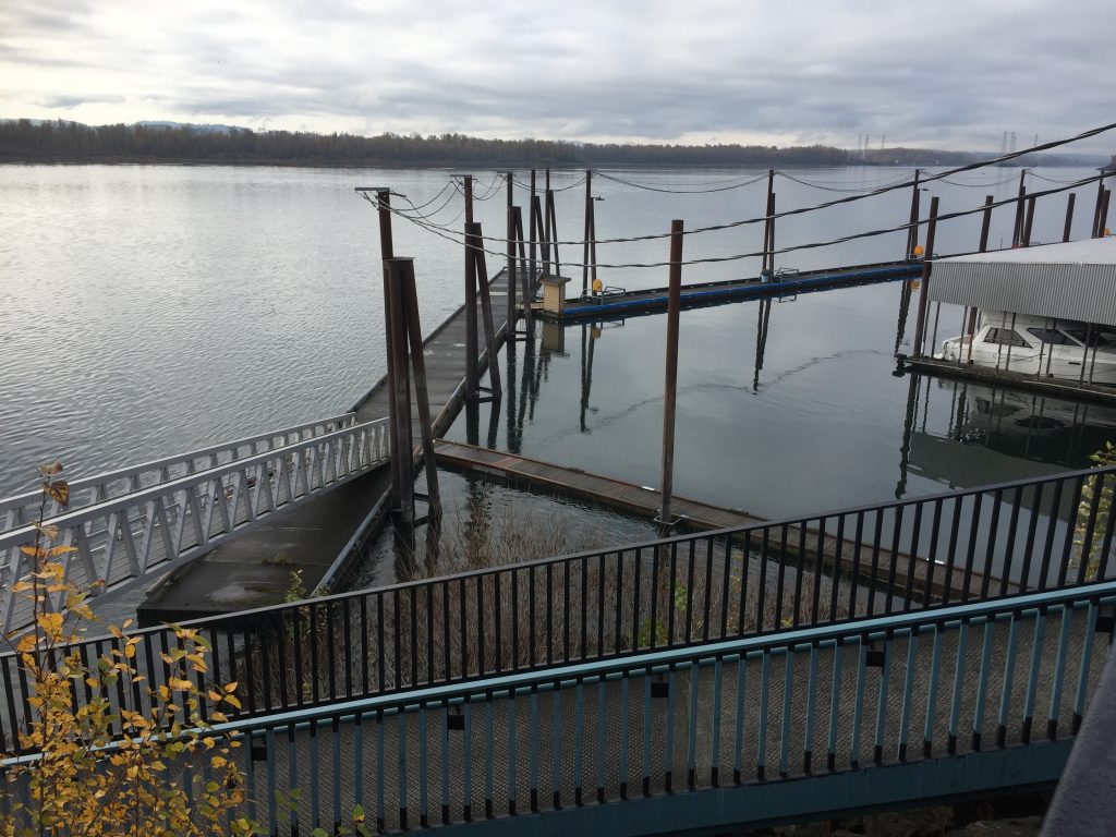
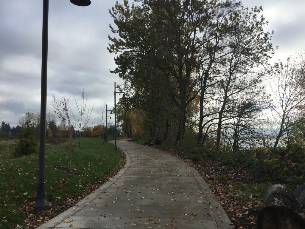
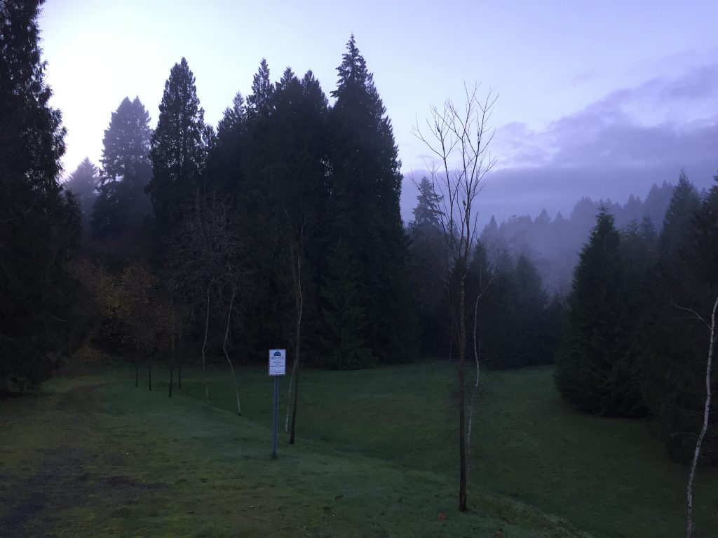
Gee Creek Trail from Heron Drive