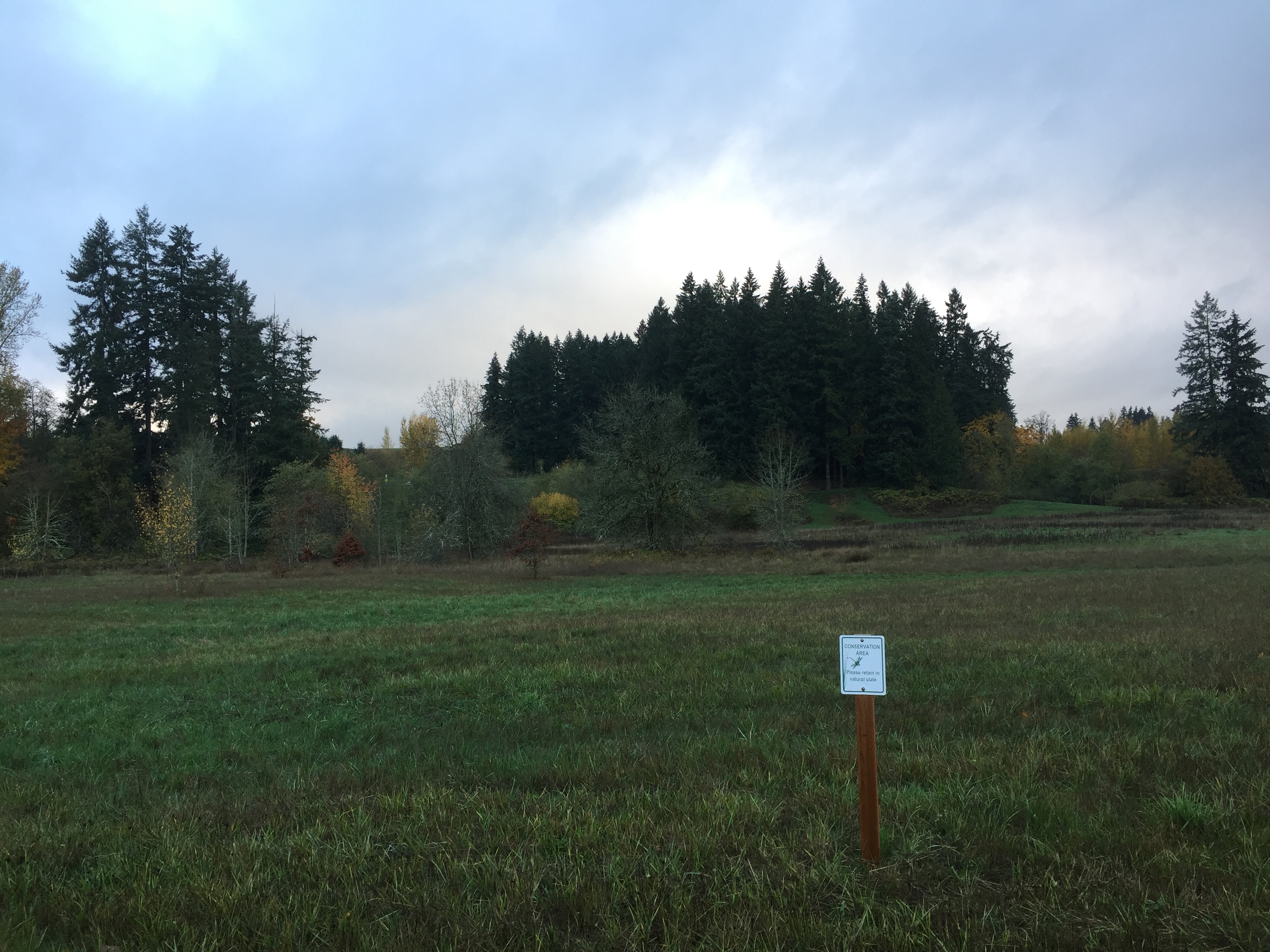
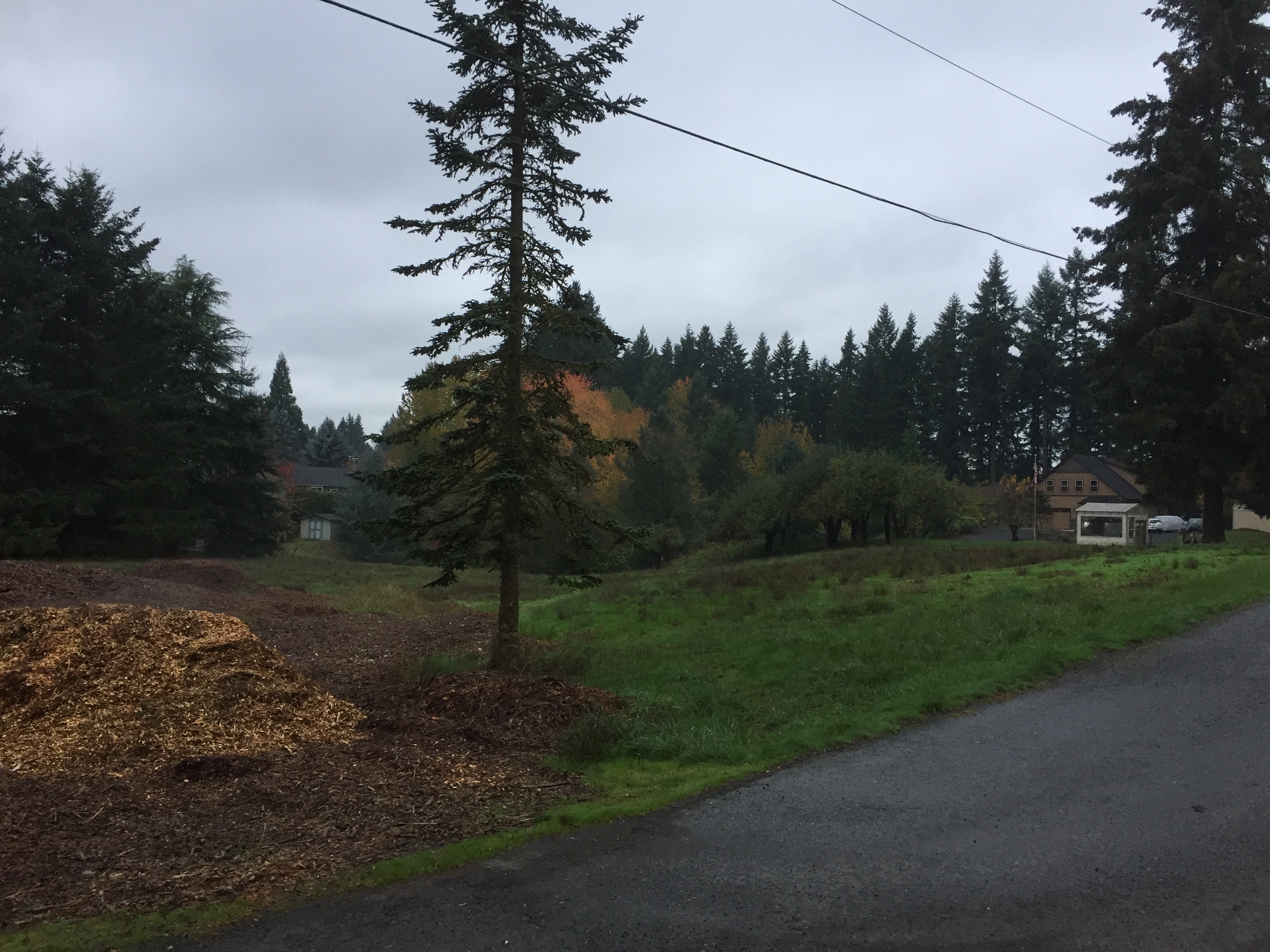
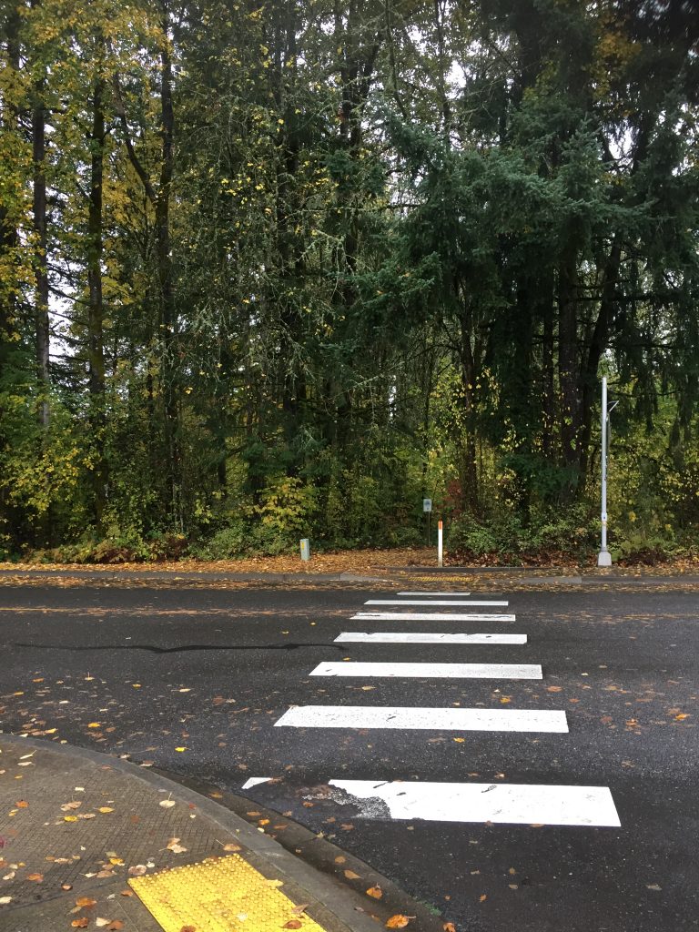
A small park with a short (.3 mile) paved path. Enter from NE 104th St.
-

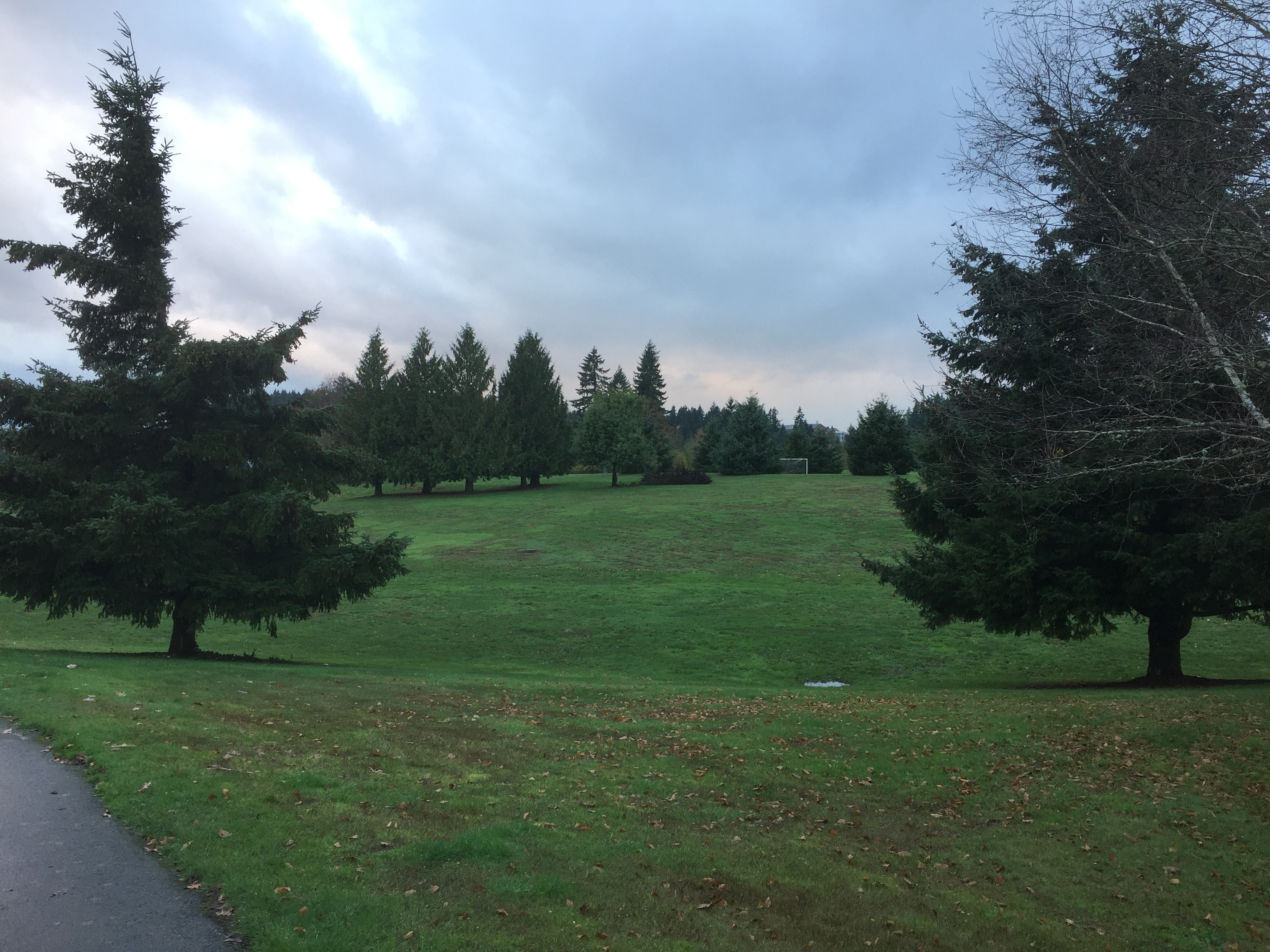
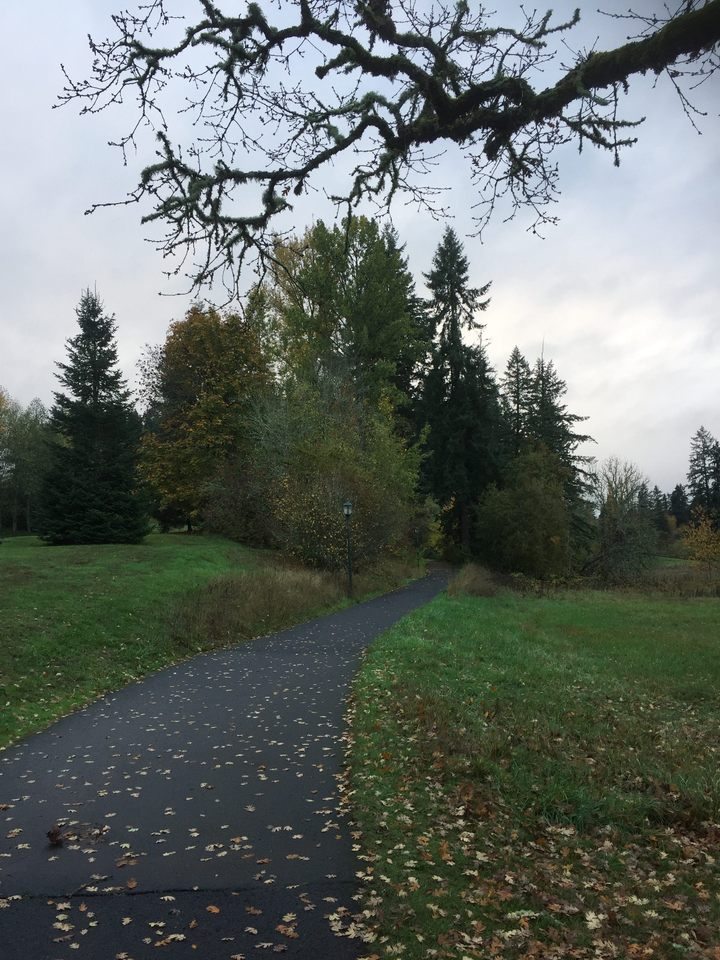
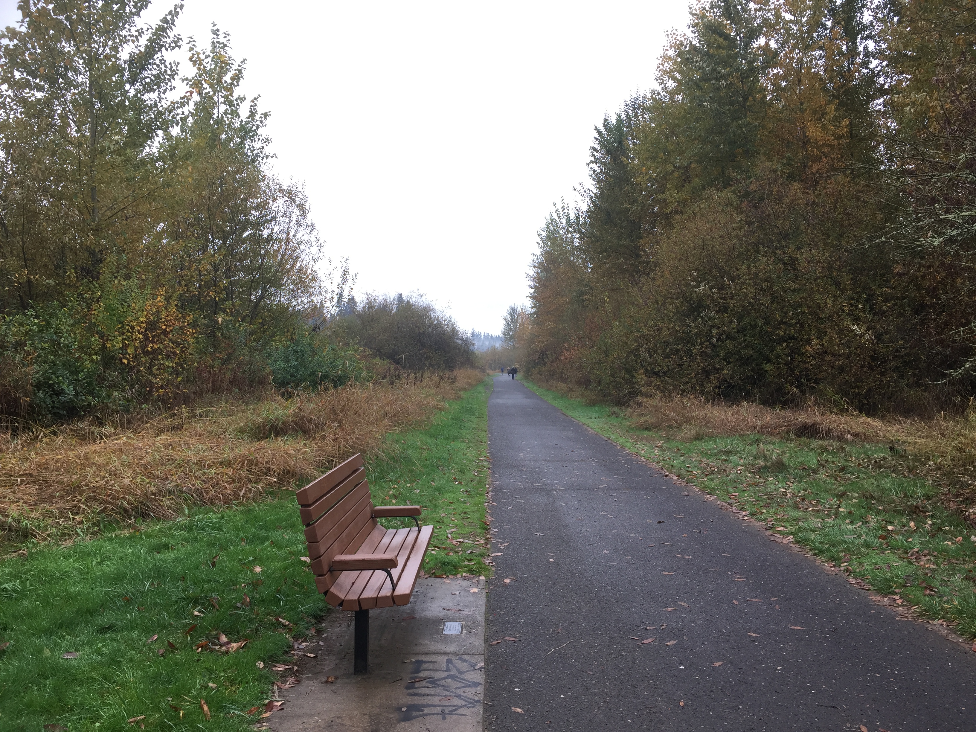
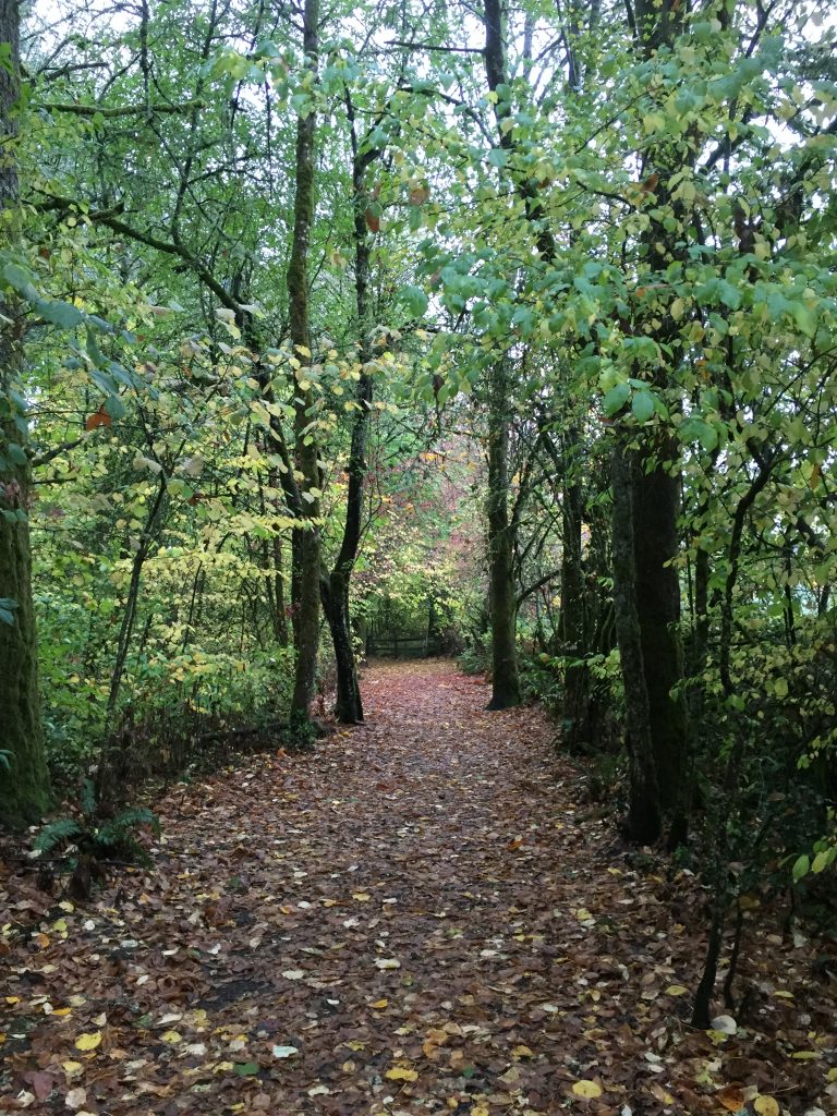
Gaiser School Park path -
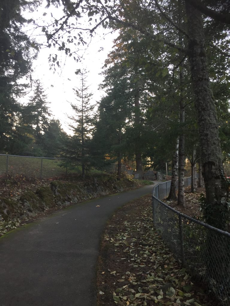
Gaiser School Park path
A small park with a short (.3 mile) paved path. Enter from NE 104th St.
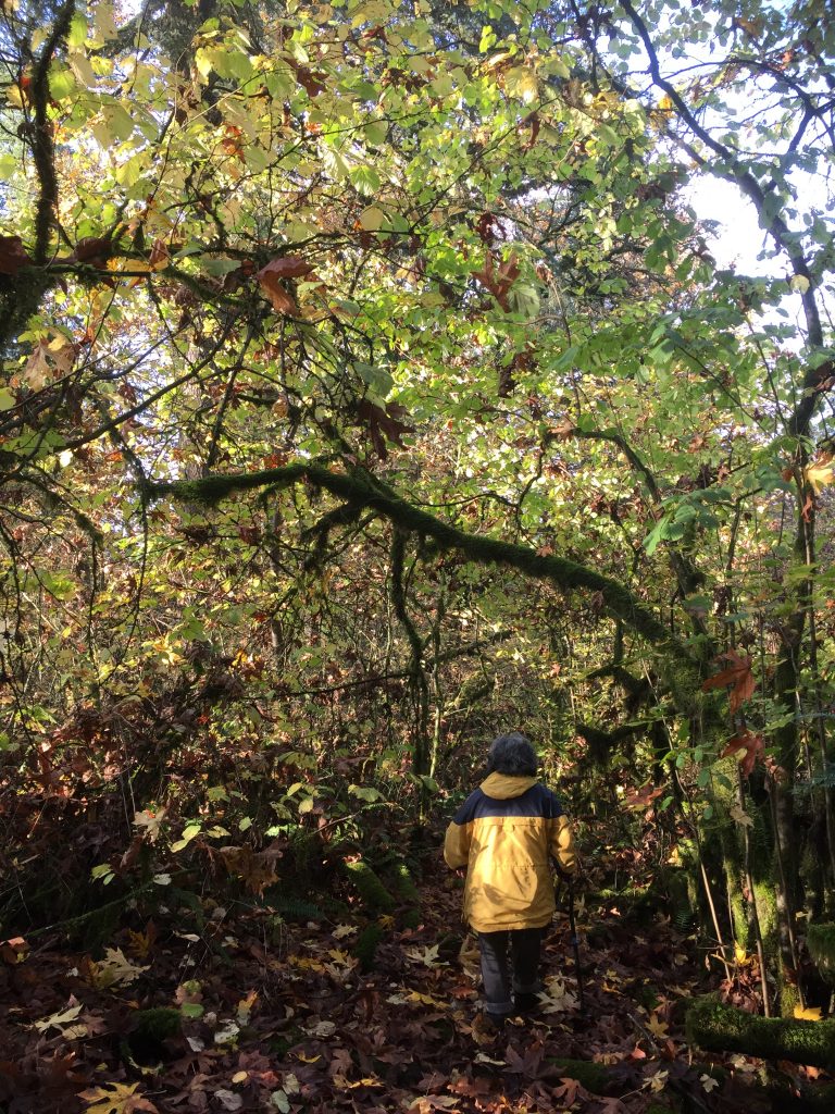
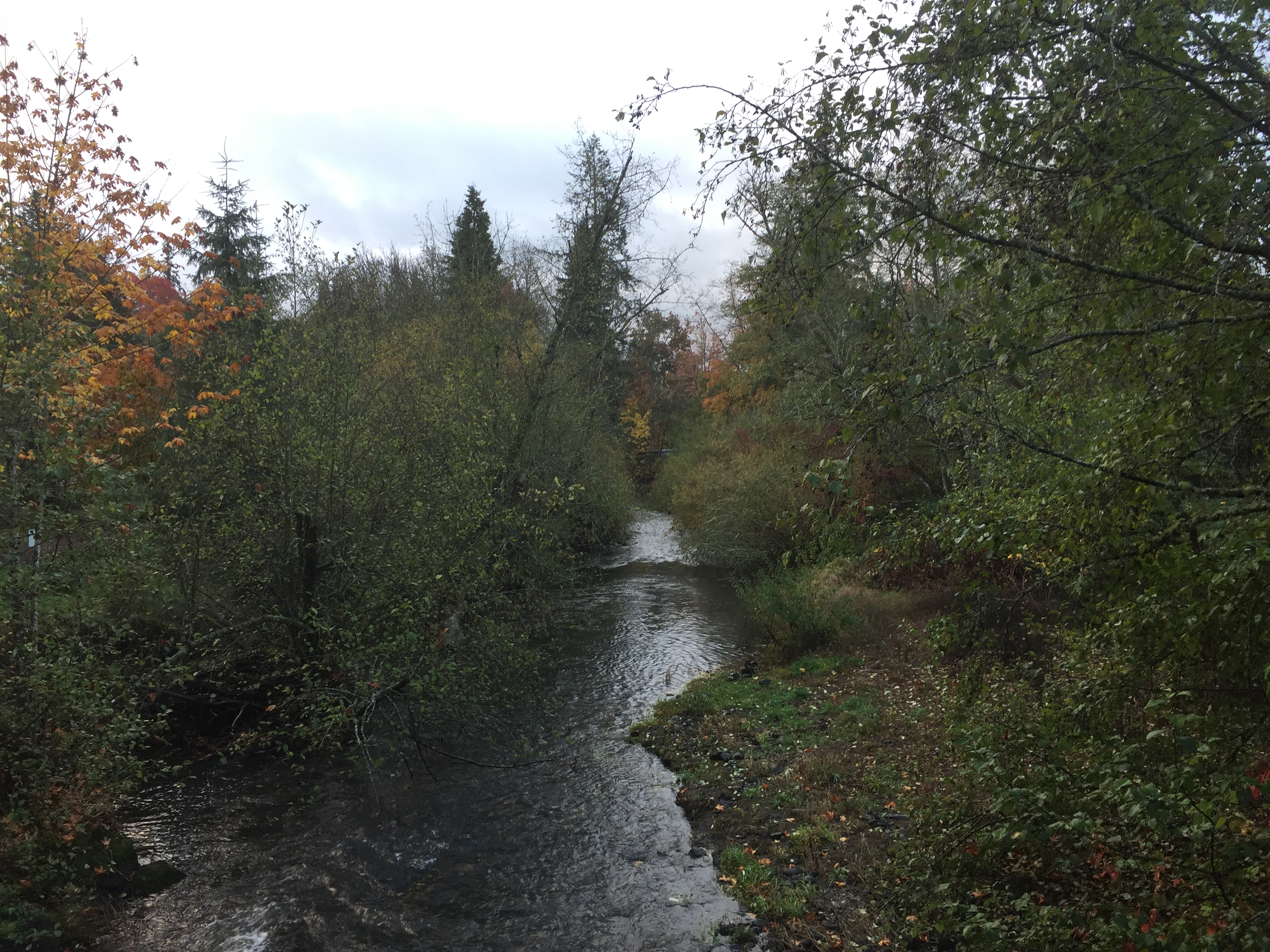
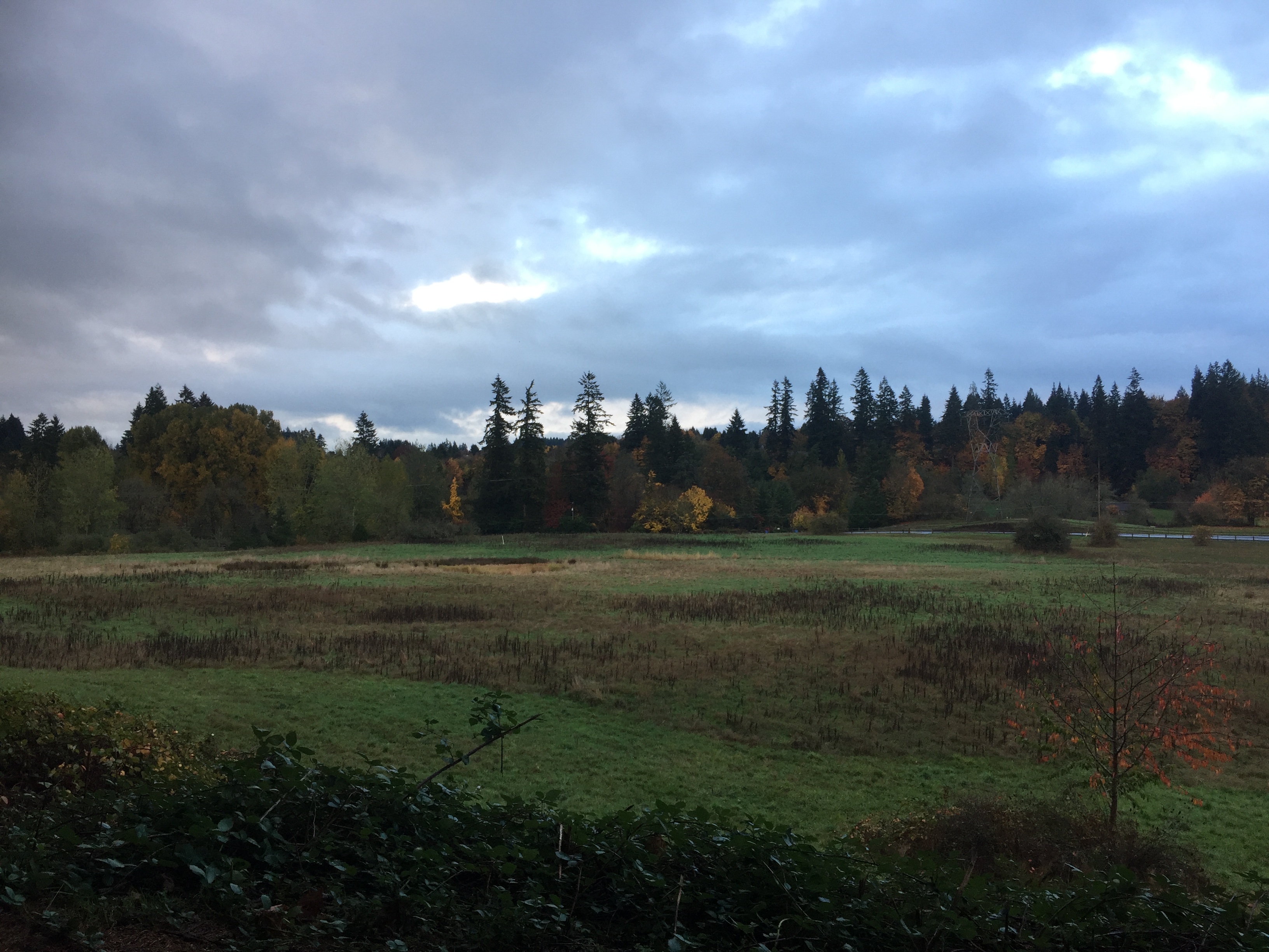
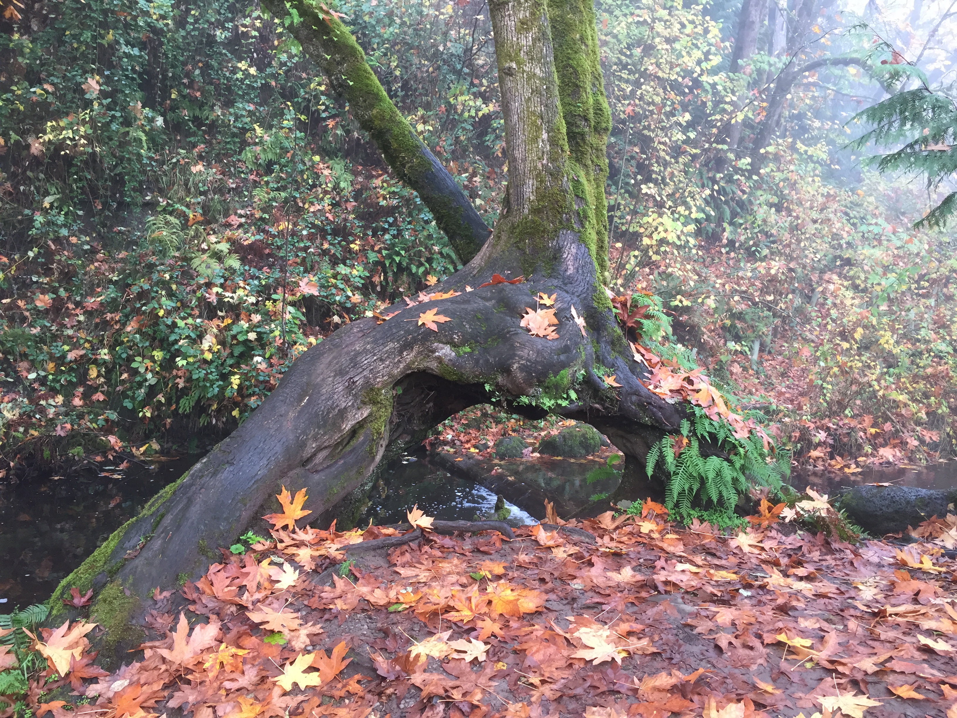
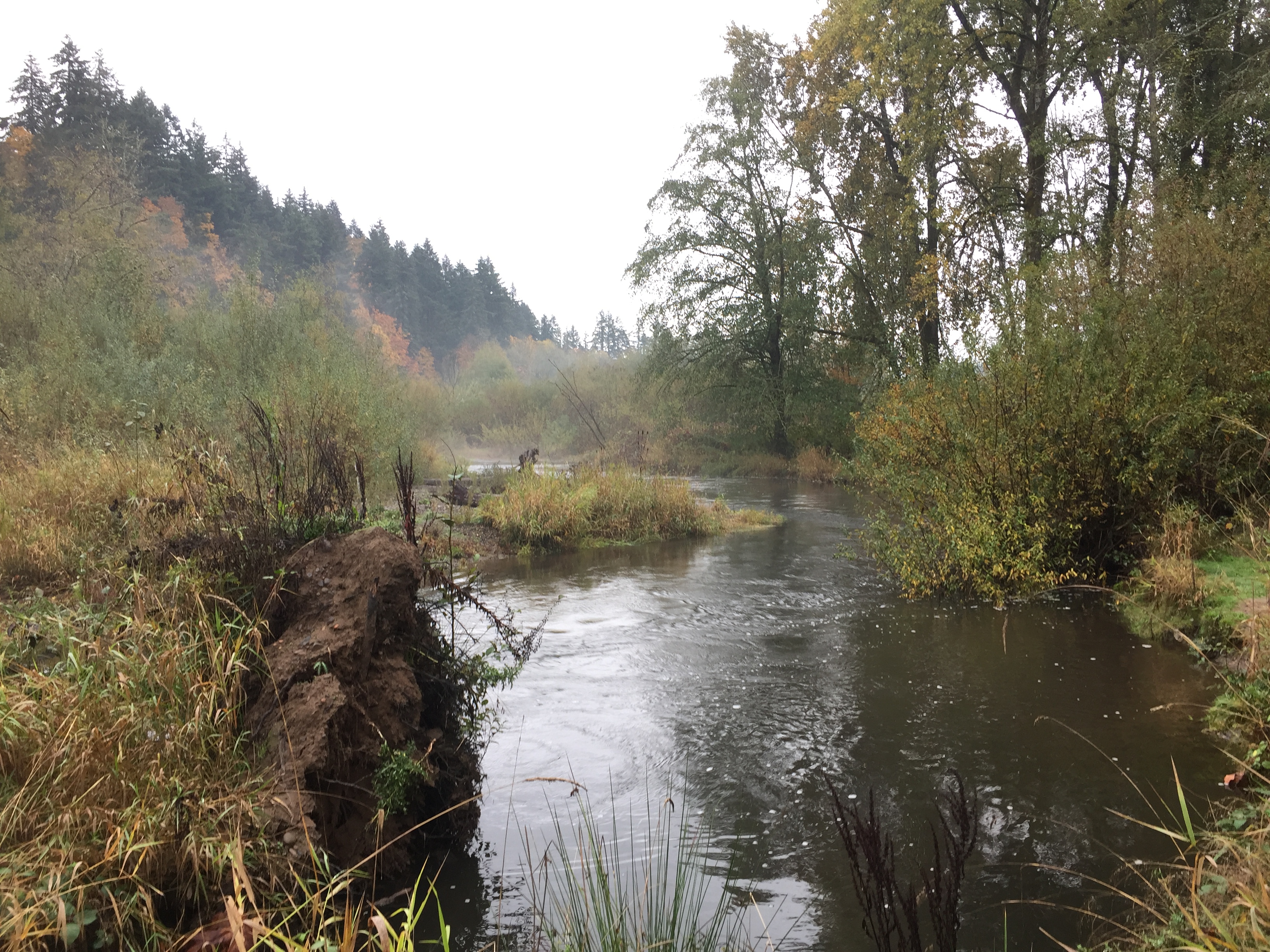
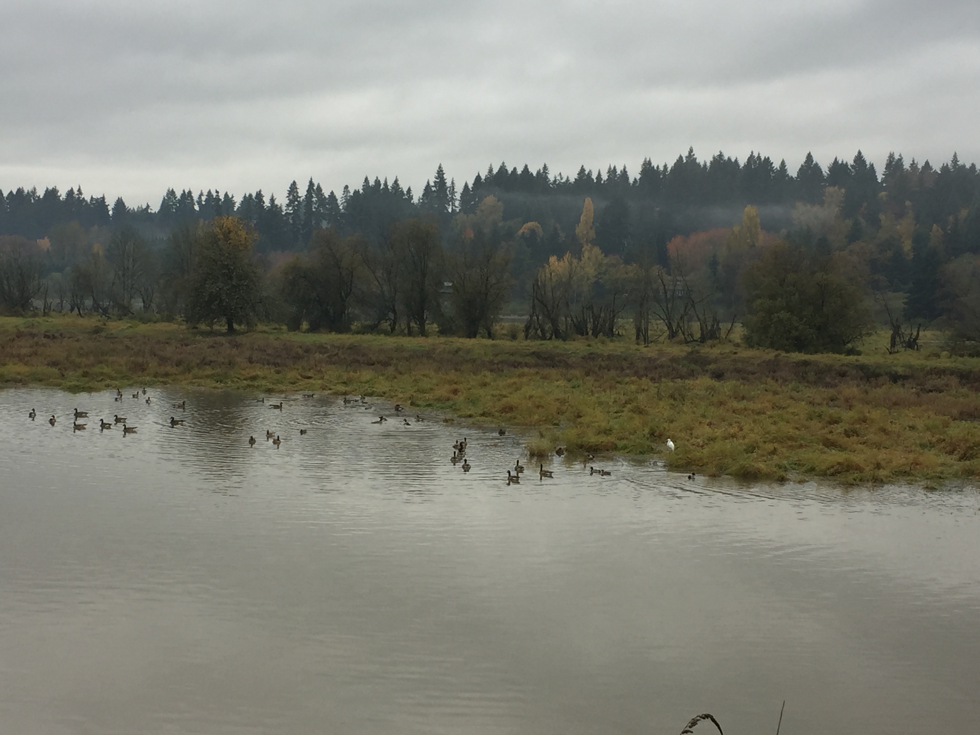
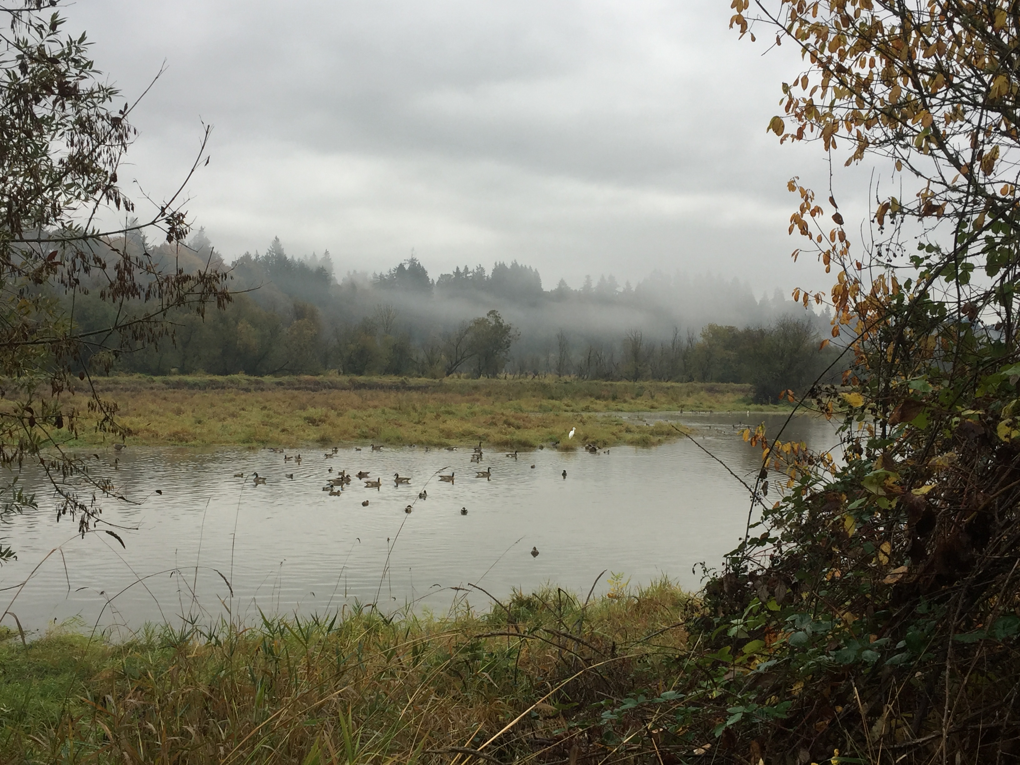
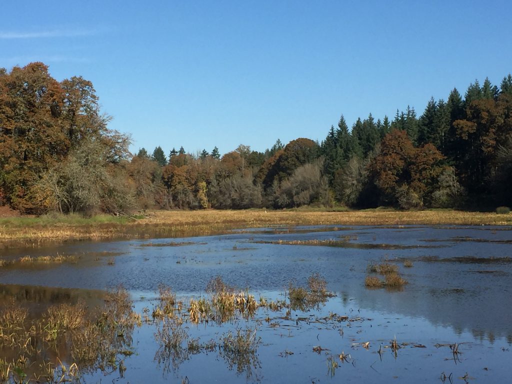
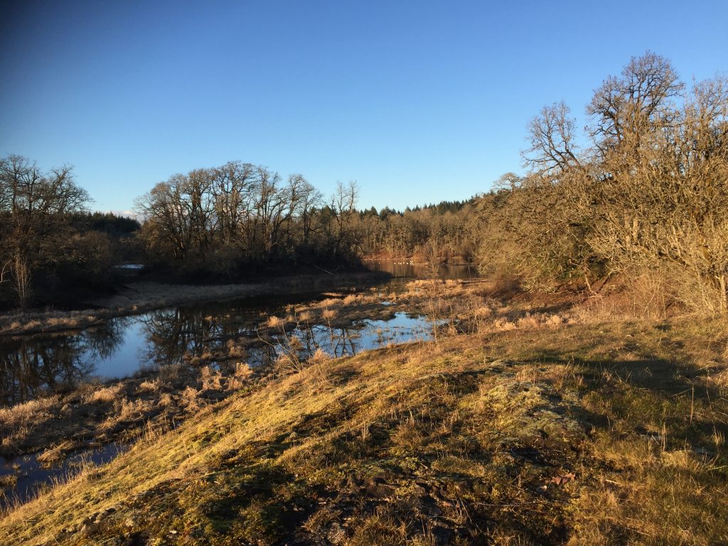
La Center sits on the East Fork Lewis River. The wide bottom lands of the river runs several miles and large areas of the land along the river are in public ownership. This allows for many miles of trails to explore, though it is not all connected.
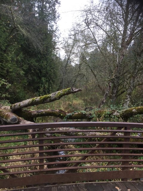
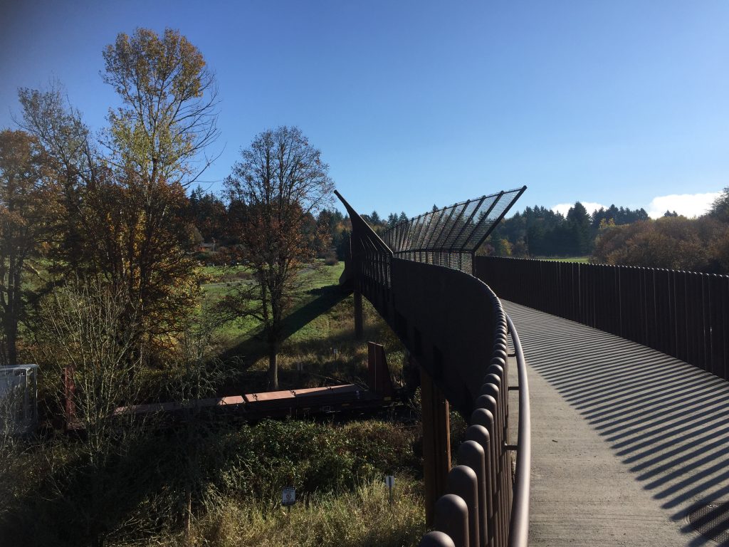
At La Center, the trail along the East Fork Lewis River that starts at Sternwheeler Park takes you just short of a mile up river. Side trails allow you to explore Brazee Creek and to walk along the north side of the bottom lands.
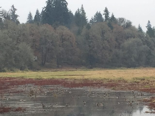
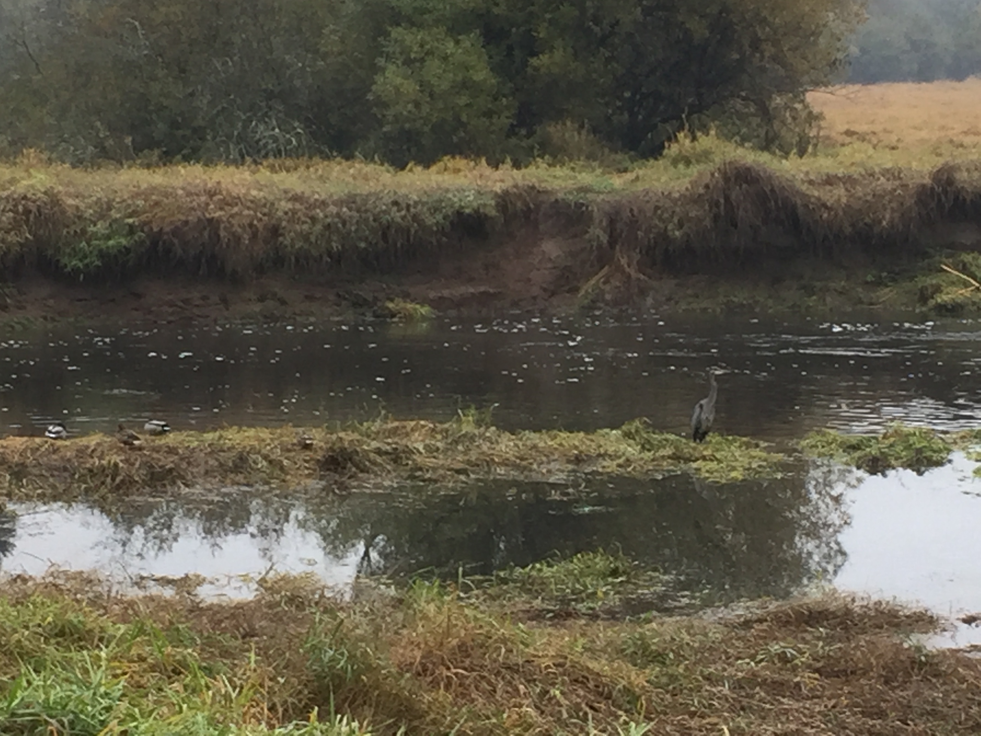
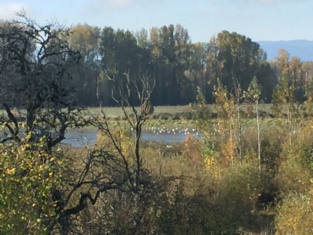
On the south side of the river, you can explore trails in the west La Center bottom lands. During the right season, this is a good area to observe more waterfowl, including a large flock of swans who winter there. While the trail to the west is clear for less than half a mile, it does open interesting areas to explore.

Fallen Leaf Lake is just south of Lacamas Lake, west of Round Lake. The park has a beach area and large shelter available for reservation for events. The trails here connect to several others connecting to nearby neighborhoods. The TrailForks App has this area well mapped.
There are a few spaces for parking at the park entrance. An alternative is to park on NE 23rd Ave and walk around the Fallen Leaf Softball Field to reach the park trails.
The LeRoy Haagen Memorial Community Park includes a few trails that loop around the fields and through the wooded area. The parking lot at the end of LeRoy Haagen Memorial Drive has plenty of parking, but the park can also be entered from NE 130th Ave, NE 129th Ave, NE 11th St or three places along NE 9th St. Walking the outermost loop of the park trails takes you just shy of 1 mile.
Be aware that while there are many trails to explore in the wooded area, last time I was there I saw two camps where someone had their tent set up in the densest areas.
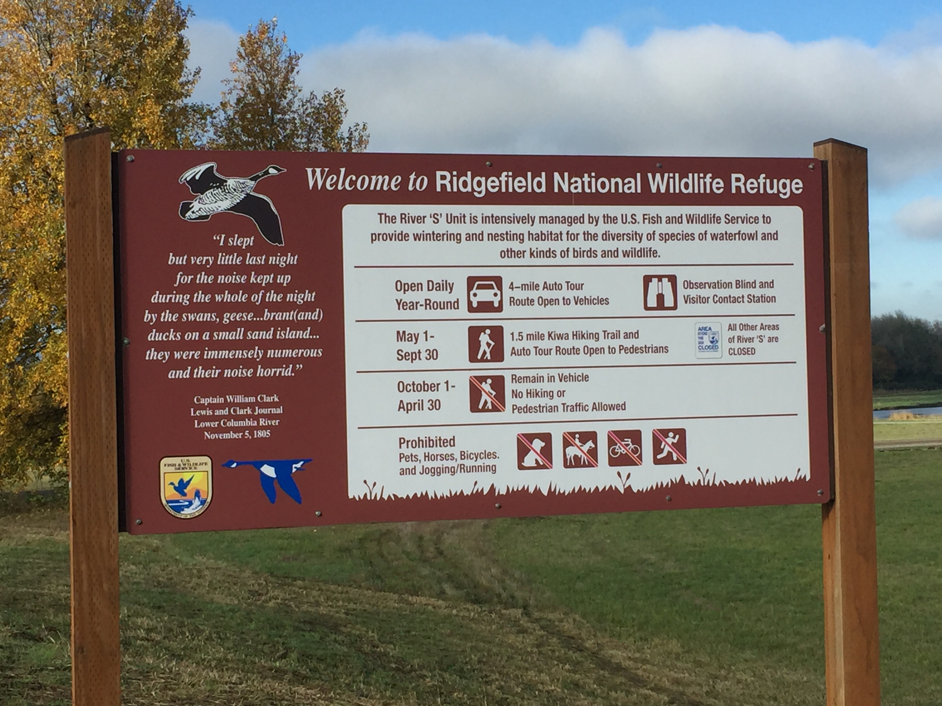
The Ridgefield National Wildlife Refuge South Unit located just south of downtown Ridgefield includes a driving tour and two trails. Keep in mind that the refuge is primarily managed for the benefit of wildlife, so some areas are closed to access all year, and other areas are closed during certain seasons.
The main attraction for visiting the South Unit is the 4.2 mile driving tour. When you stop at the welcome center to make payment, it’s worthwhile to pick up one of the audio CDs at the information kiosk, and play the CD in your car while driving the route. I also suggest using an electric vehicle and driving very slowly. Allow yourself a couple hours to make the tour, so that you have time to stop and watch.
During May to September you can walk the route. Note that Bicycles, jogging, pets and horse riding are not allowed in the refuge as these can disrupt the wildlife.
There are two places on the drive to stop and get out of your car. The first is a short walk to a viewing blind, where you can observe wildlife in the neighboring grasslands. I was there last spring and was able to watch the sparrows up close that were nesting in the bird blind. Last time I visited there, a couple deer seemed to treat it as an opportunity to observe the humans.
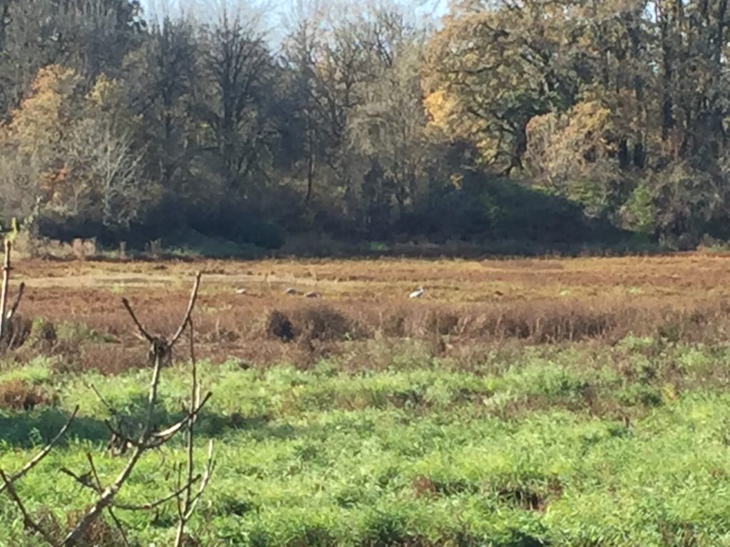
The second stop (open May 1 to September 30) is the Kiwa Lake Trail. This trail loops about a mile and a quarter through a grassy wetland giving you opportunity to observe the birds and enjoy nature. This area is also open to water fowl hunting during hunting season.
For the latest updates on work being done, and to check if trails or access is closed for work, see https://www.refuge2020.info/


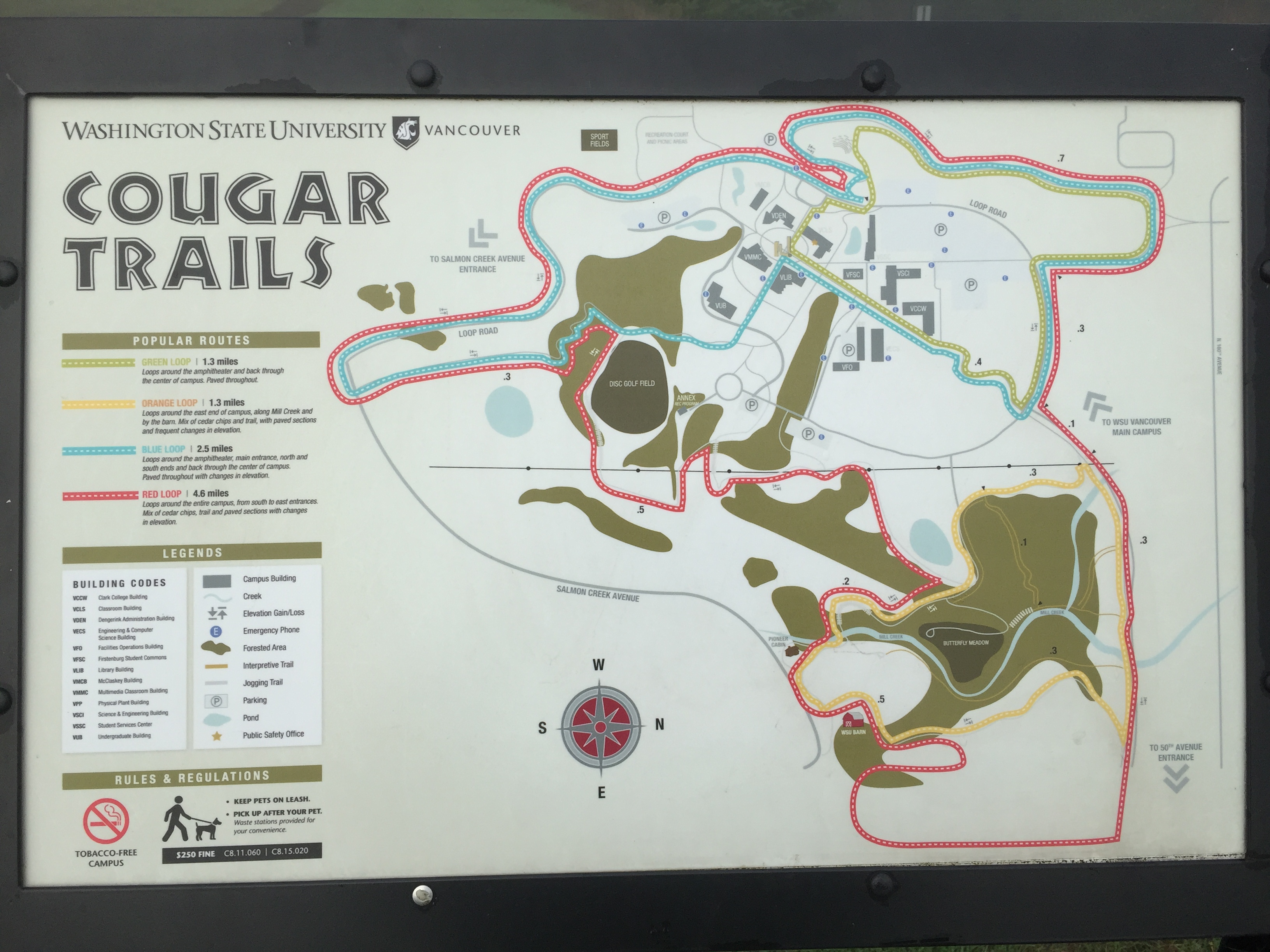
The WSU Campus includes over six miles of trails. On weekdays a parking pass is required to park on campus, but on the weekend no pass is required.
A good walk or bike ride is to start at either Pleasant Valley Community Park or Vista Meadows Neighborhood Park, walk through the WSU campus then up to the other park, turn around, and return taking another trail through WSU along the way.


The Salmon Creek Greenway Trail offers a nice long walk or ride within the urban area of Vancouver.
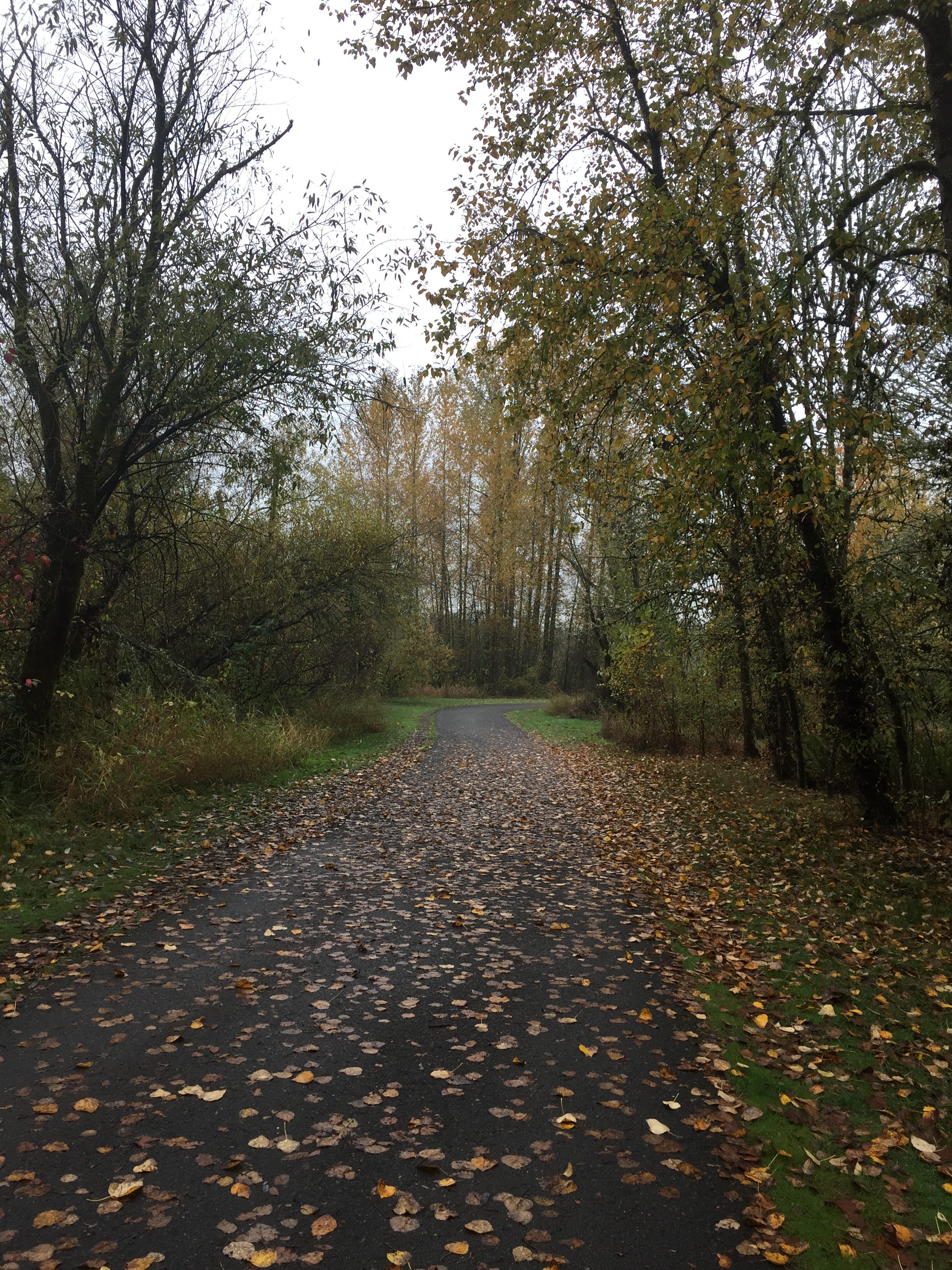
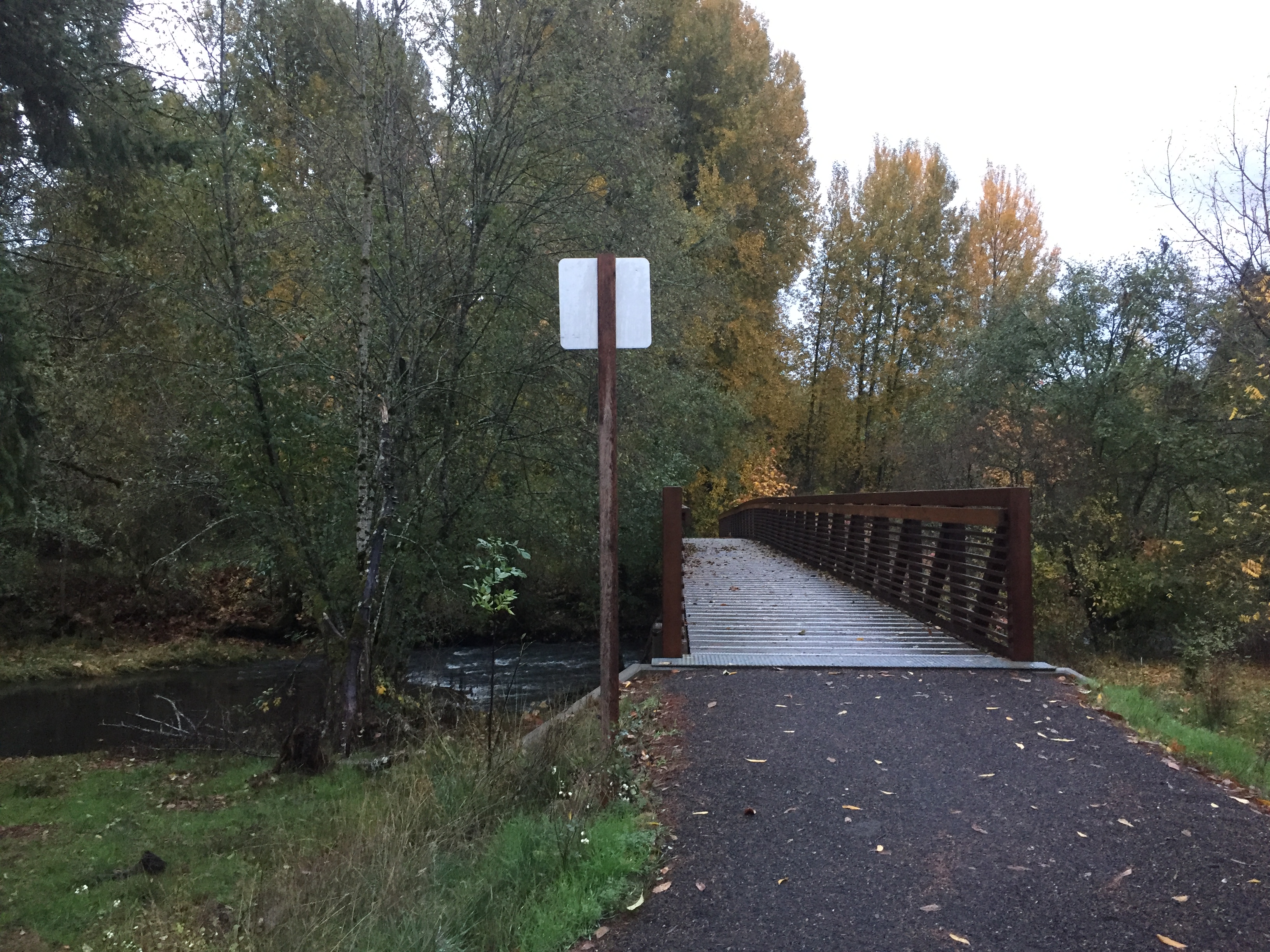
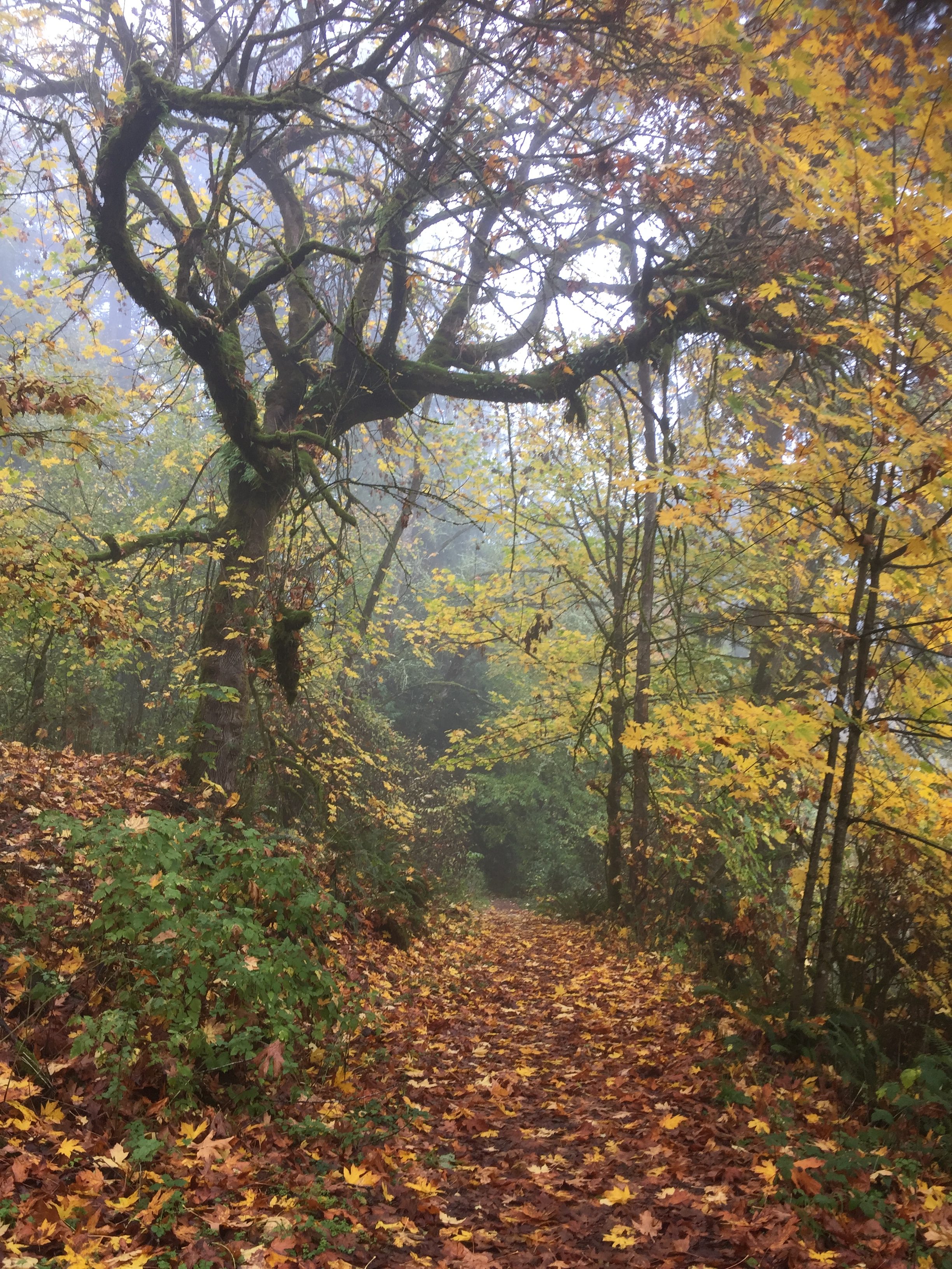
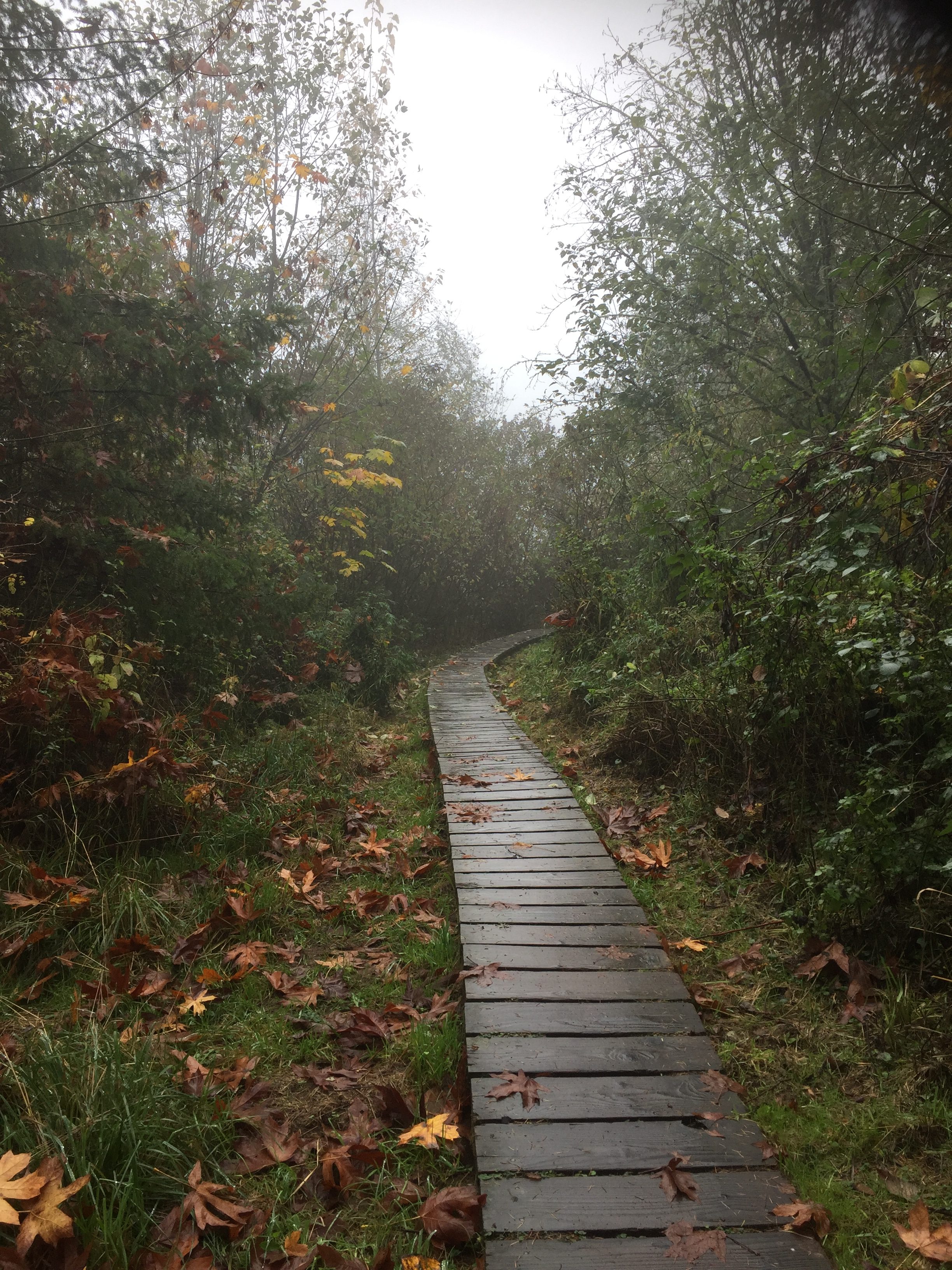
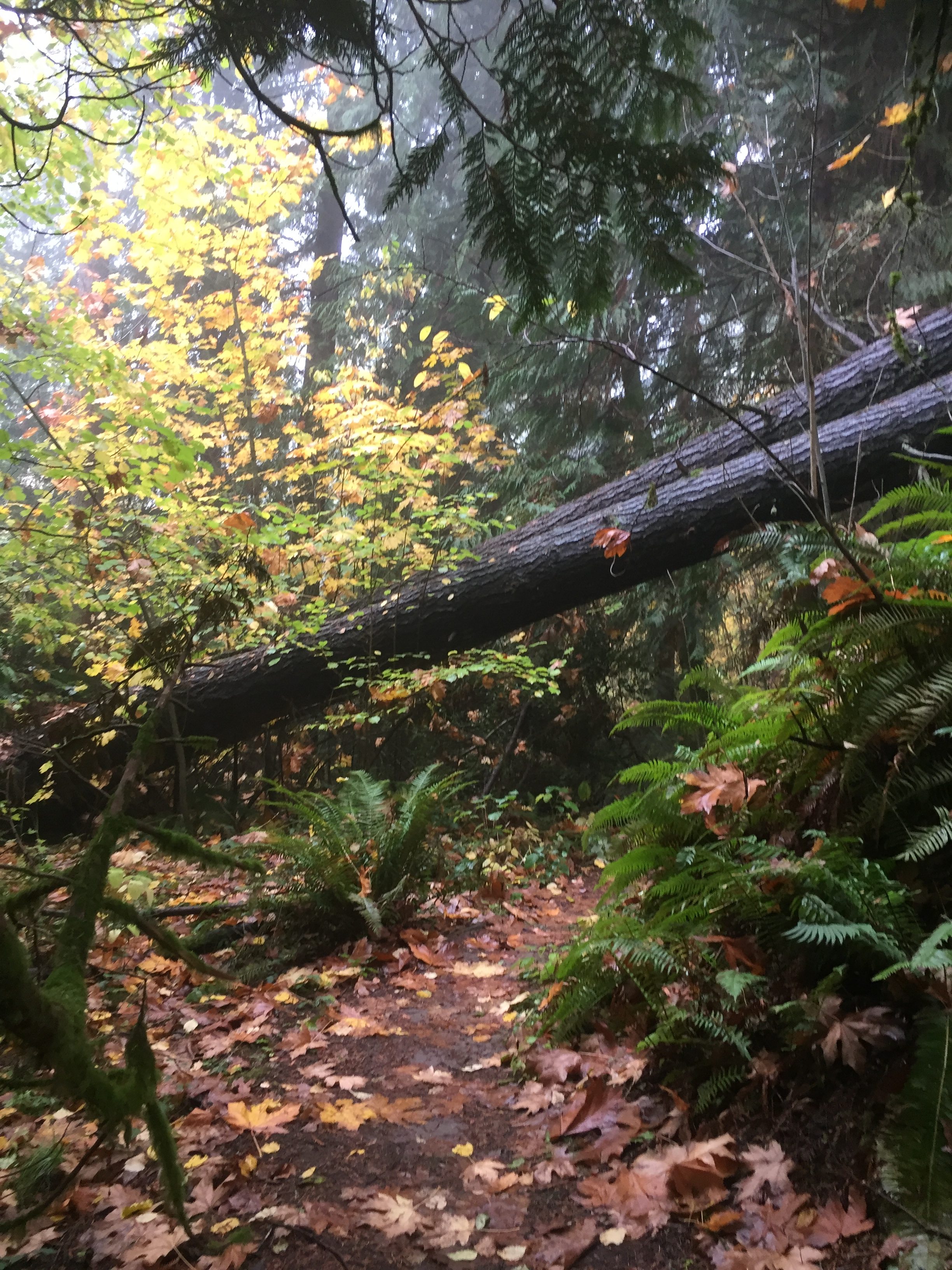
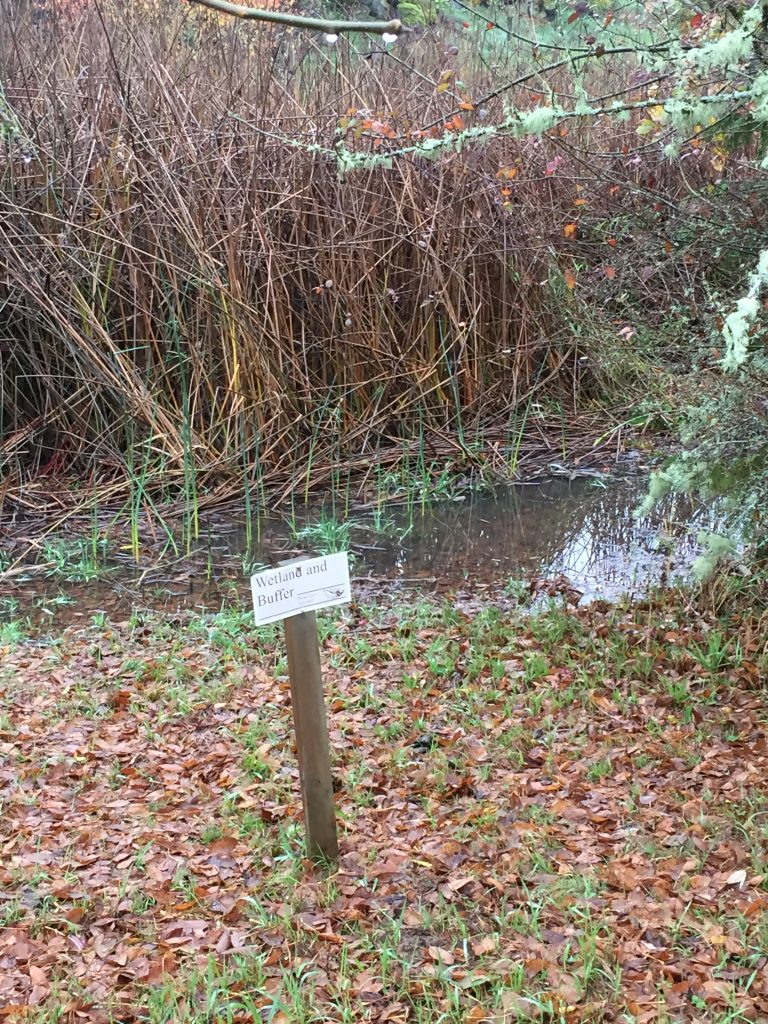
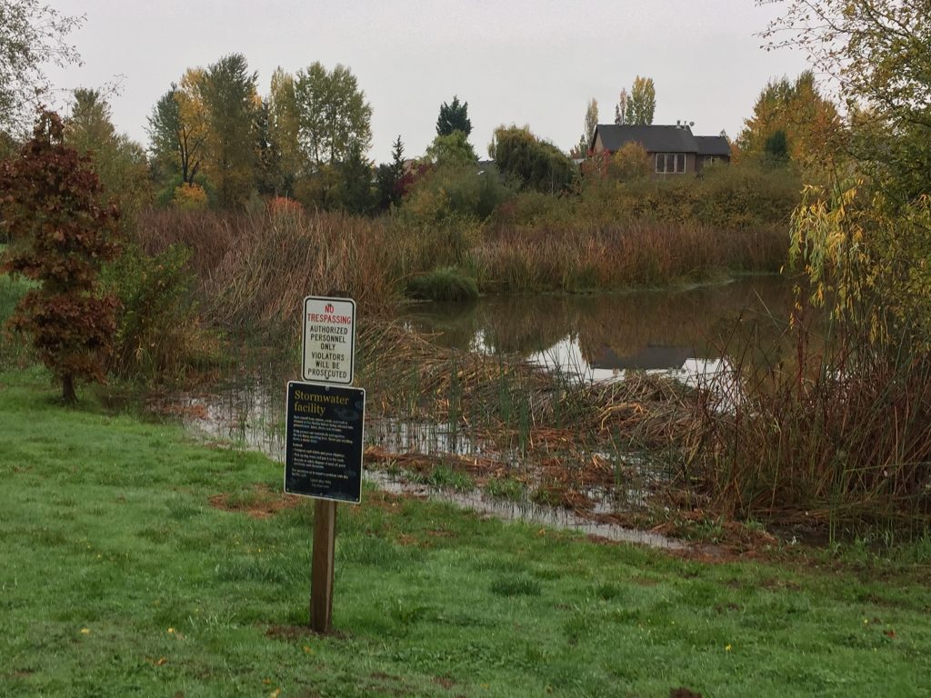
La Center’s Heritage Trail follows a wetland area for storm water management and at the west end walks through a stream-side forest corridor.
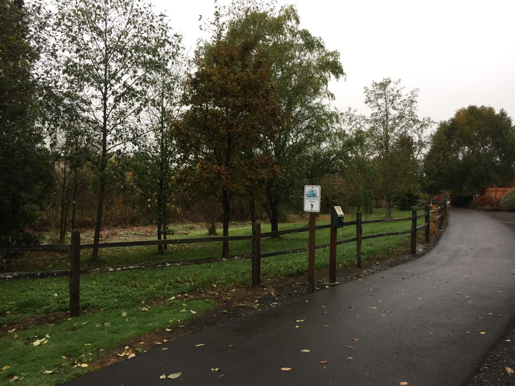
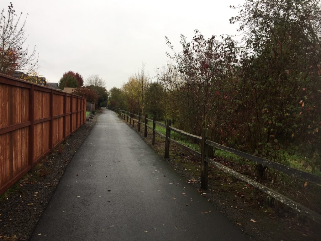
There are multiple access points for the trail, and it can make for a nice leisurely walk. Please note that at the west end the trail ends at private property. Please respect the landowner by not crossing beyond the No Trespassing signs. This not a through public trail.
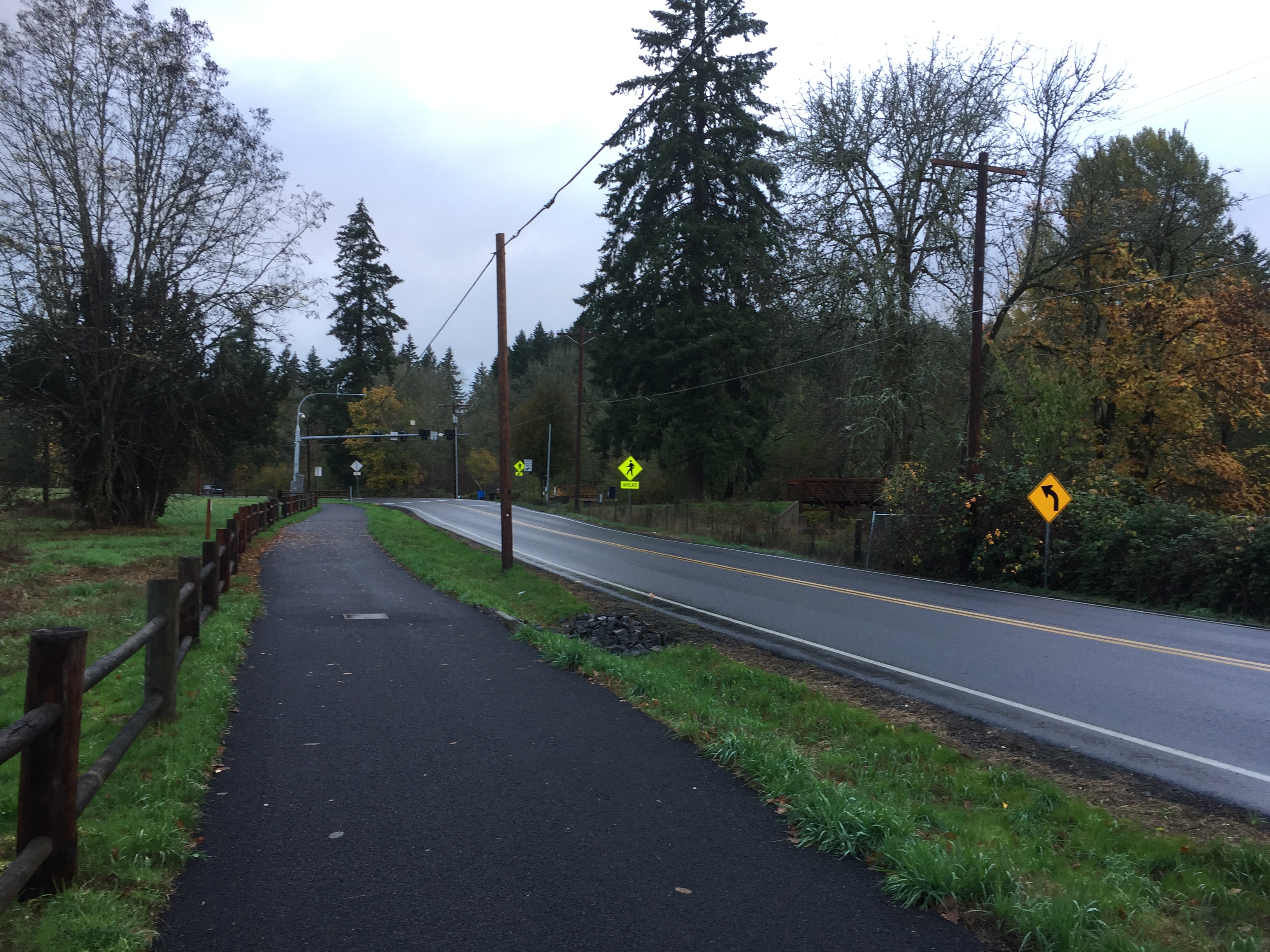
If you are walking east on the Heritage Trail, when you reach E Heritage Loop, turn right, then left onto E 14th Circle. At the end of E 14th Circle you can continue onto the path that leads to the Brezee Creek Trail.
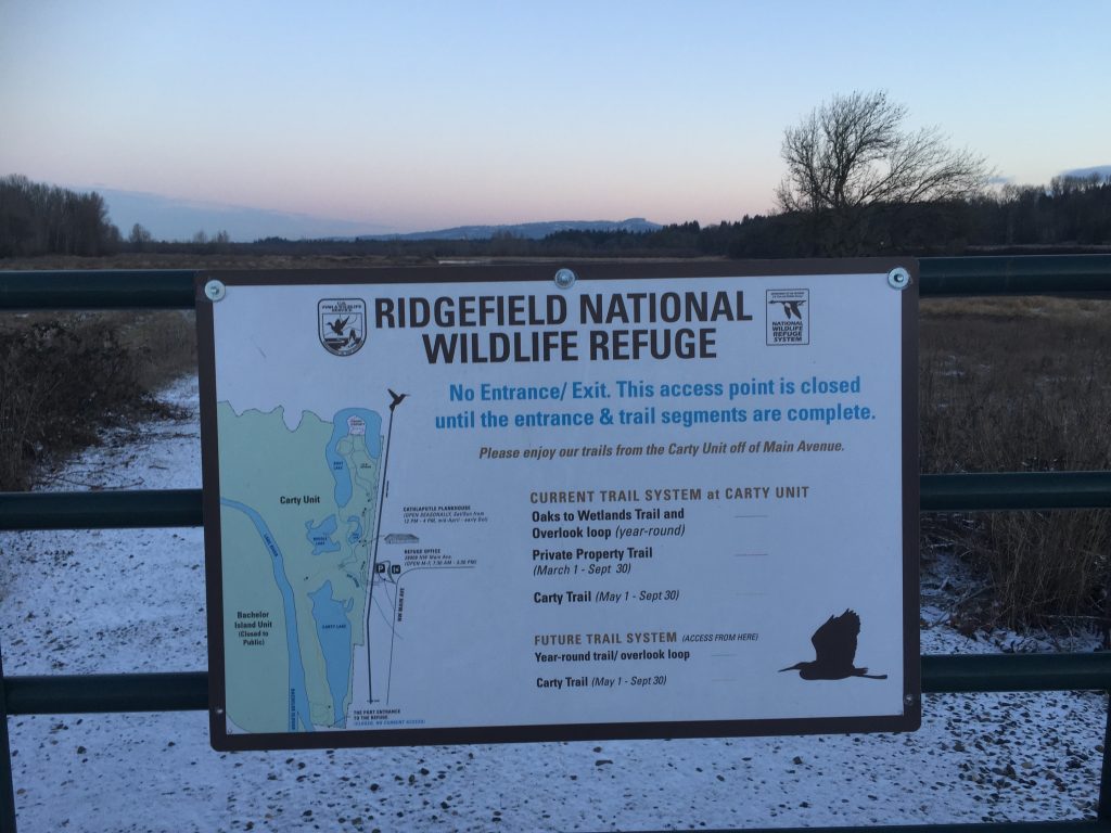
The Ridgefield National Wildlife Refuge Carty Unit located just north of downtown Ridgefield includes several nice hiking trails. Keep in mind that the refuge is primarily managed for the benefit of wildlife, so some areas are closed to access all year, and other areas are closed during certain seasons.
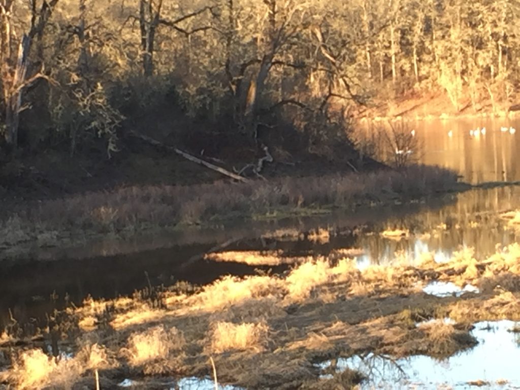
The Cathlapotle Plankhouse was built as a reconstruction of a traditional native structure and provides a great educational resource. Trails north of the plankhouse wind through forest and riparian areas. This is a popular bird watching area, and for good reason. Decades ago I used to walk out this trail to sit and watch the beavers as they worked in the large wetland area. That wetland has now largely transformed into grassland and the beavers have moved on.
There are about 2 miles of trails in the area north of the Plankhouse which wind through the forest and around Lancaster lake. North of the refuge is land managed for resource conservation, so some trails are closed to access at that point. Be aware also that there is Poison Oak in the area, and some trails may be closed to manage vegetation.
Within the next couple years, a trail connecting the Carty Unit entrance to downtown Ridgefield will be completed, and a connecting trail through the unit, around the west side of Carty Lake connecting to the Port of Ridgefield will be completed. This will make for a nice approximately 2 mile loop trail that can be walked from Ridgefield through the refuge.
For the latest updates on work being done, and to check if trails or access is closed for work, see https://www.refuge2020.info/
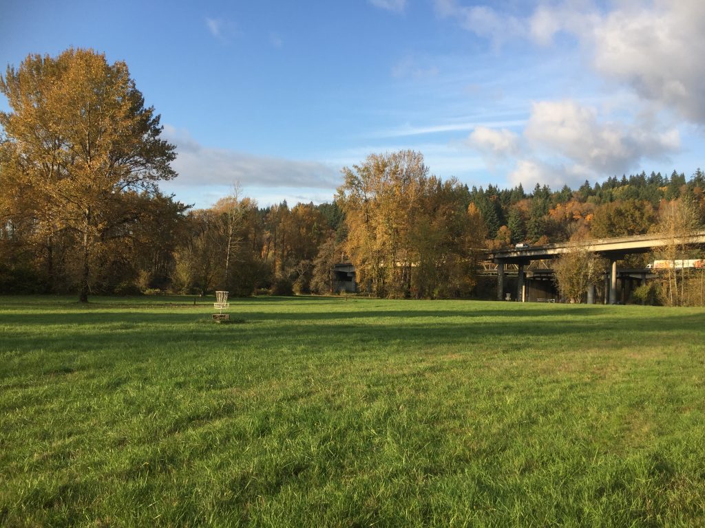
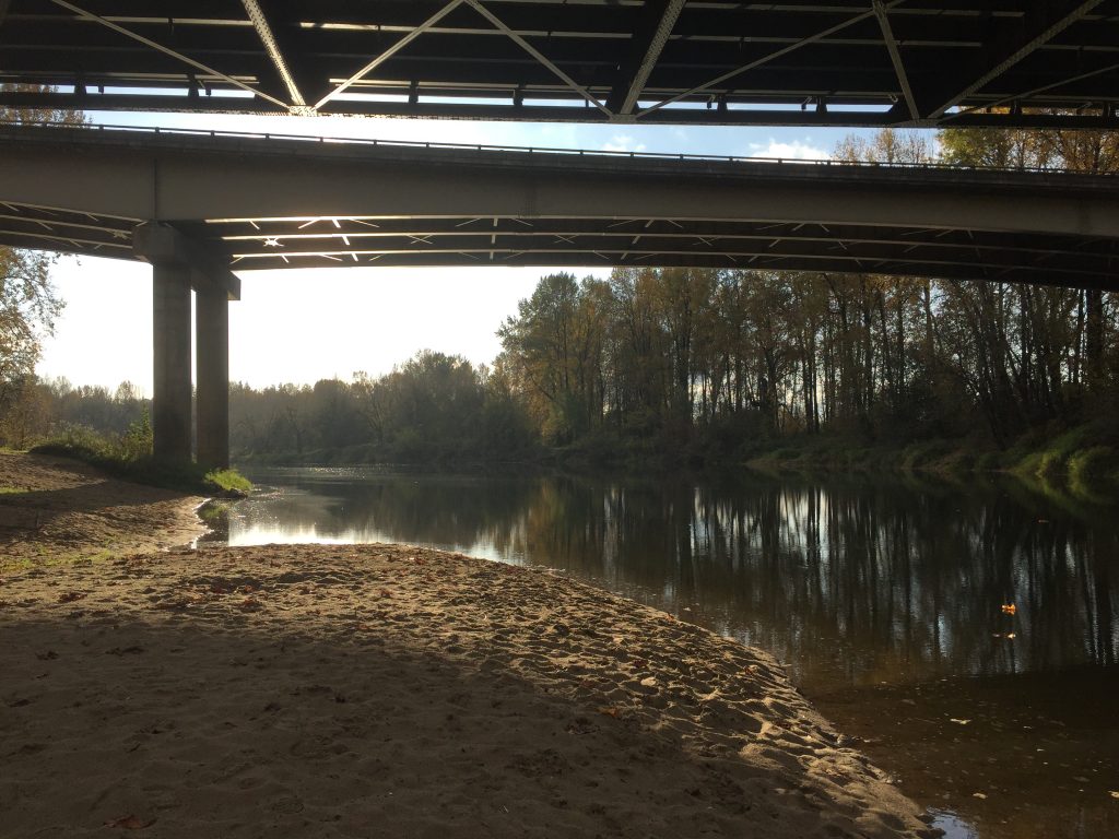
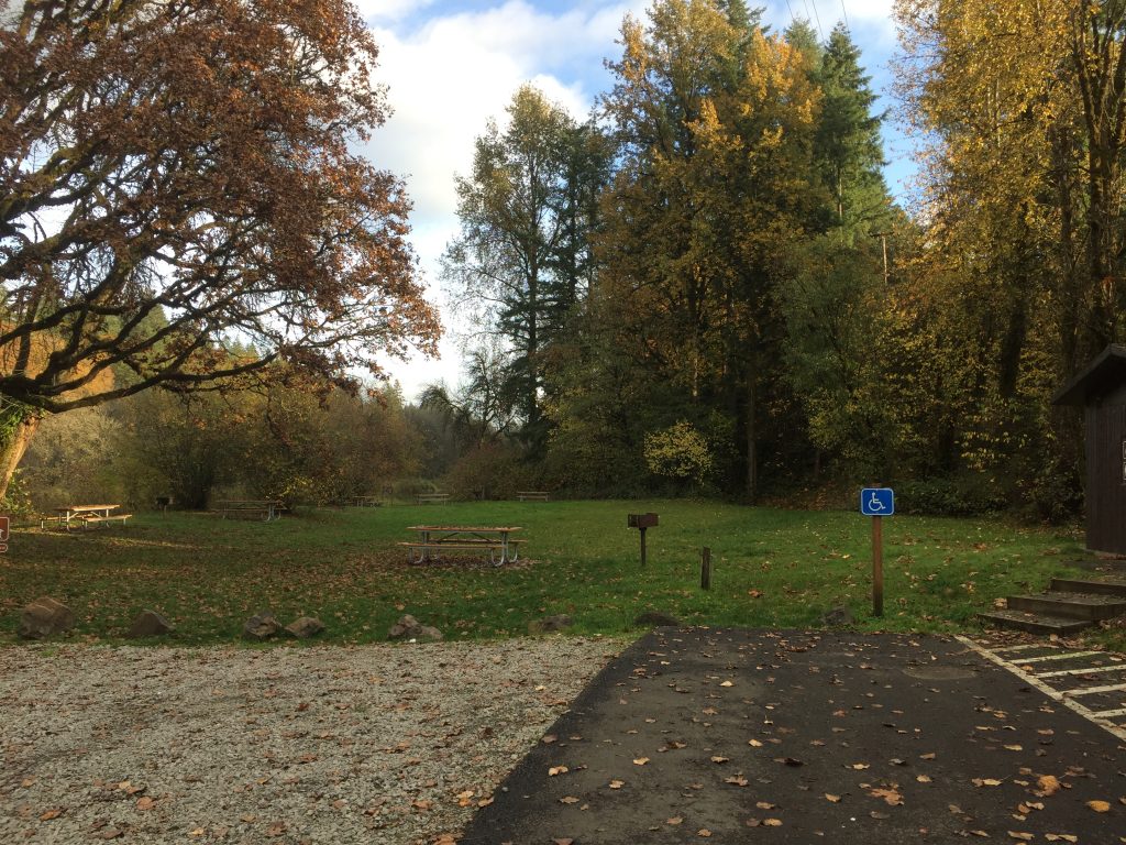
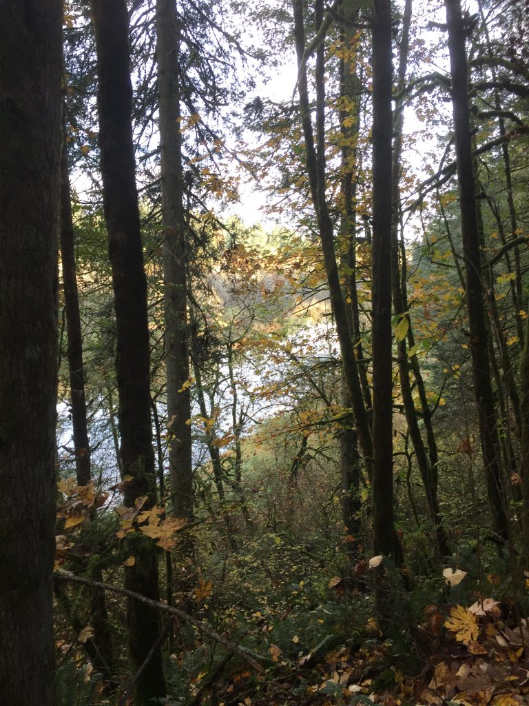
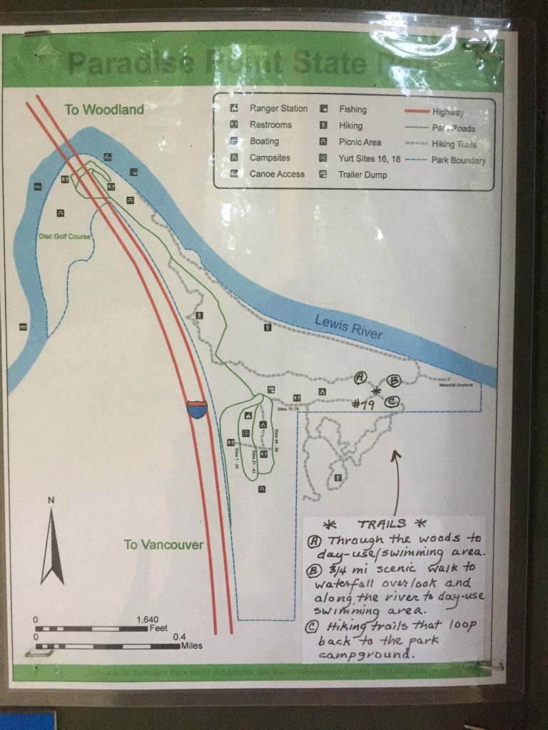
The park includes a camping area, and a popular swimming hole on the East Fork Lewis River. There are also a few trails to explore. One trail parallels the freeway, offering a good climb. A loop can be walked. If you start at the parking Day Use parking area, you can walk up the road a short distance to the trail on your right. Take that trail up a climb, over the hill, then down to cross the road, through the woods to the small waterfall. From there, go down to the river and follow the river trail back to the Day Use area. You can extend the loop by following trails up to the campground area, and out into the neighboring Clark County Legacy Lands (the neighboring fields).
The state park is bordered by land owned by Clark County as part of their Legacy Lands program. Some of this land is across the river from the park and more is up river from the park.
Trails in the park are mapped on trails.com. The map embedded below shows an approximation of the location of trails within the park.