Powell Butte

Powell Butte includes a great network of trails for wandering to enjoy nature and views. With over 600 acres and 10 miles of trails, there are enough trails that even on a busy day you can find areas that are secluded and quiet. Some trails allow for a cool walk through forest while other trails cross open grassland. An official trail map can be found here. It can be helpful to print out that map to carry with you on the trails. While there are trail markers throughout, the trails twist and turn enough that it can be confusing to find your way.

Access can be found:

On the North Side:

The main parking lot a Powell Butte Nature Park (gate is only open during park hours, and may be closed due to icy conditions.)

158th Access Road (not an official trail access)

Elderberry Trail (north entrance)

Dogwood Trail

West side:

Holgate Lane

Elderberry Trail (west entrance)

Black Tail Deer Trail (145th Ave)

South Side:

Black Tail Deer Trail (Springwater Corridor)

East Side:

Conduit Lane

Johnson Creek Trail

Lake Rosannah Upper Field

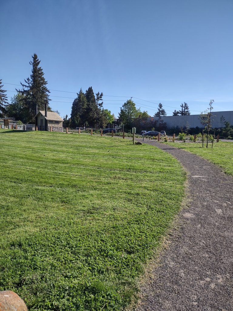
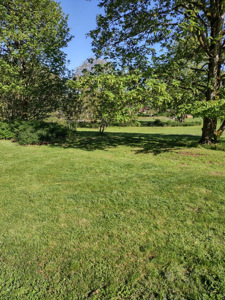
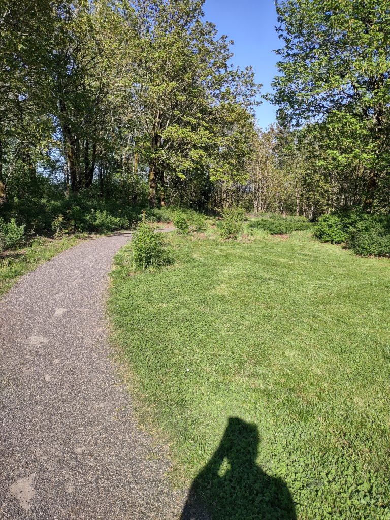
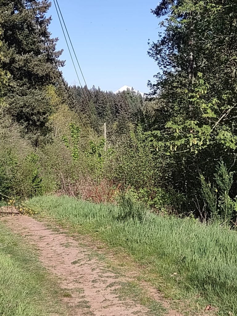
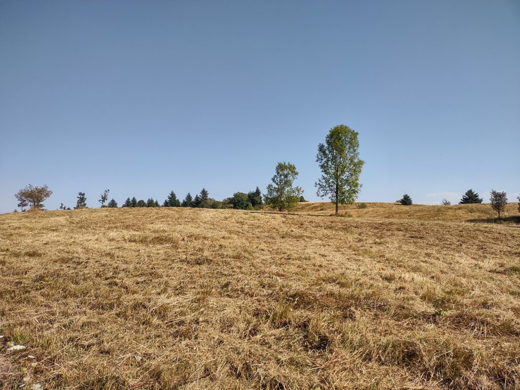
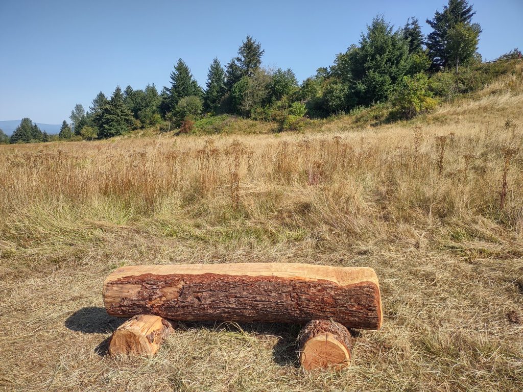
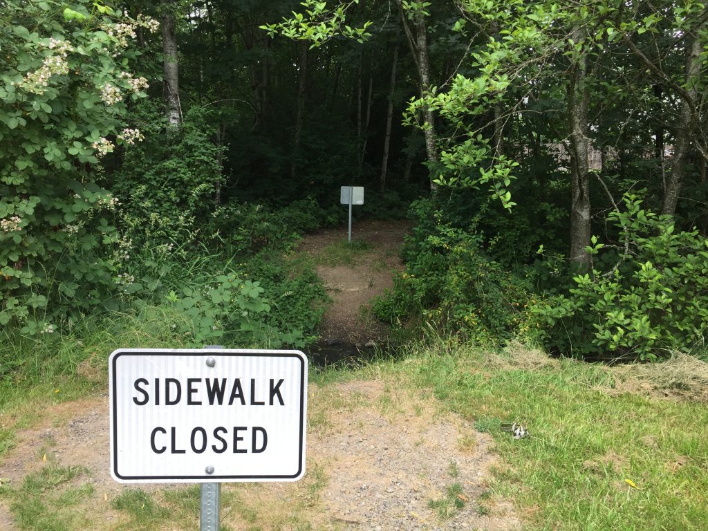
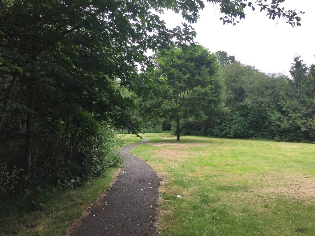
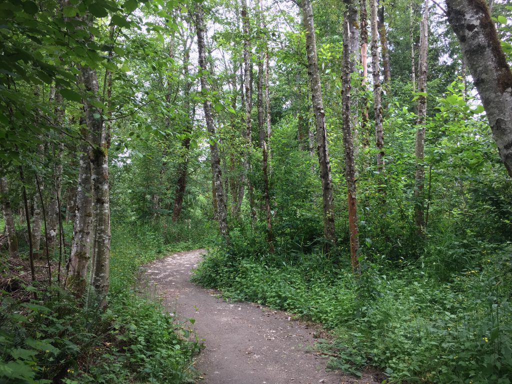
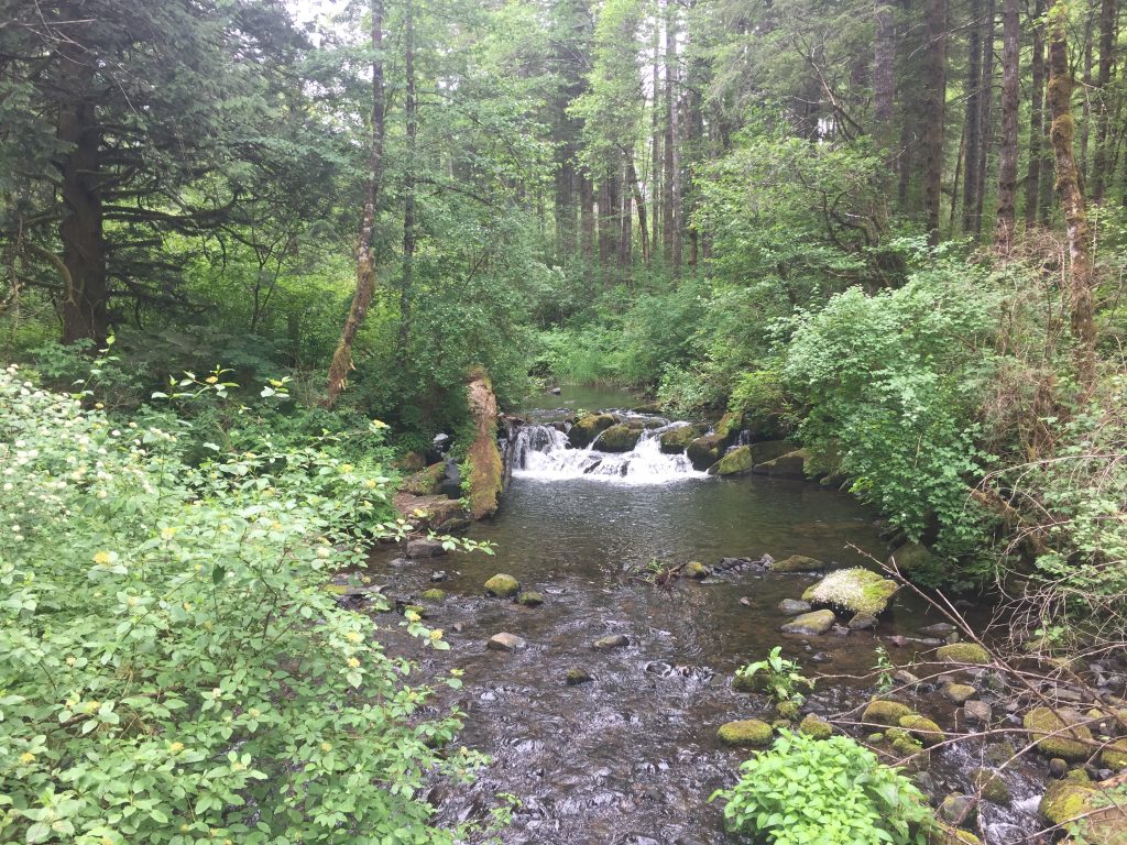
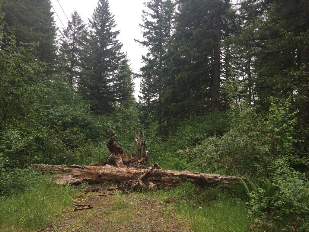
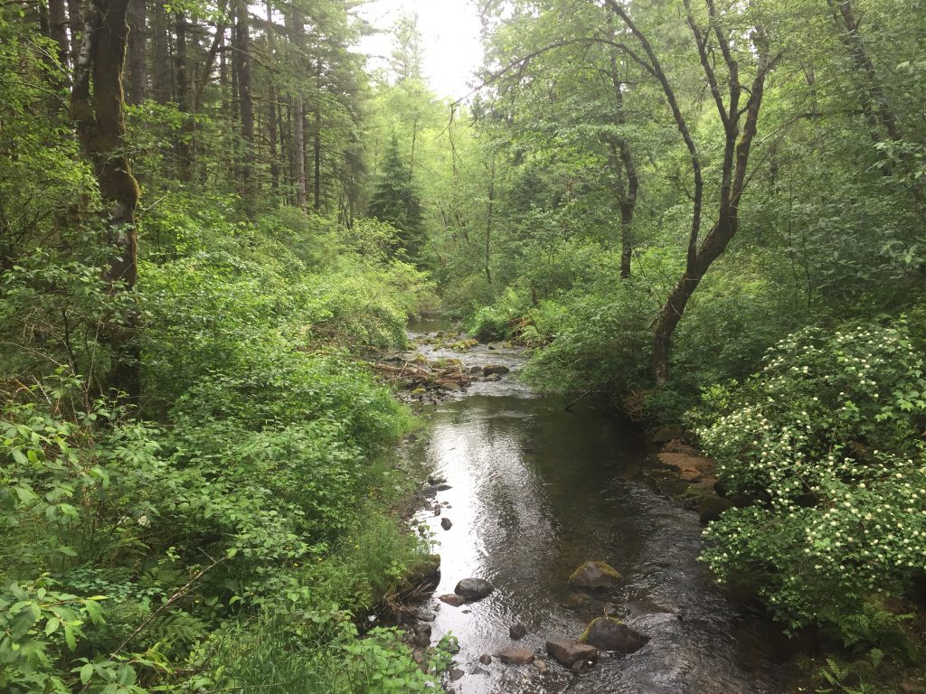
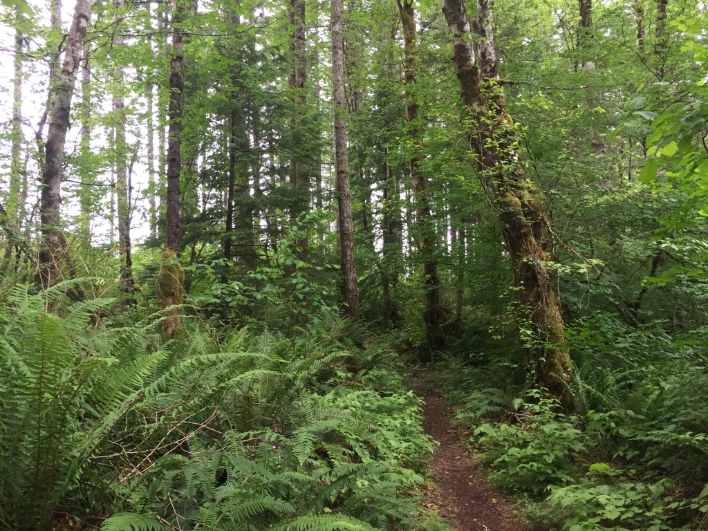
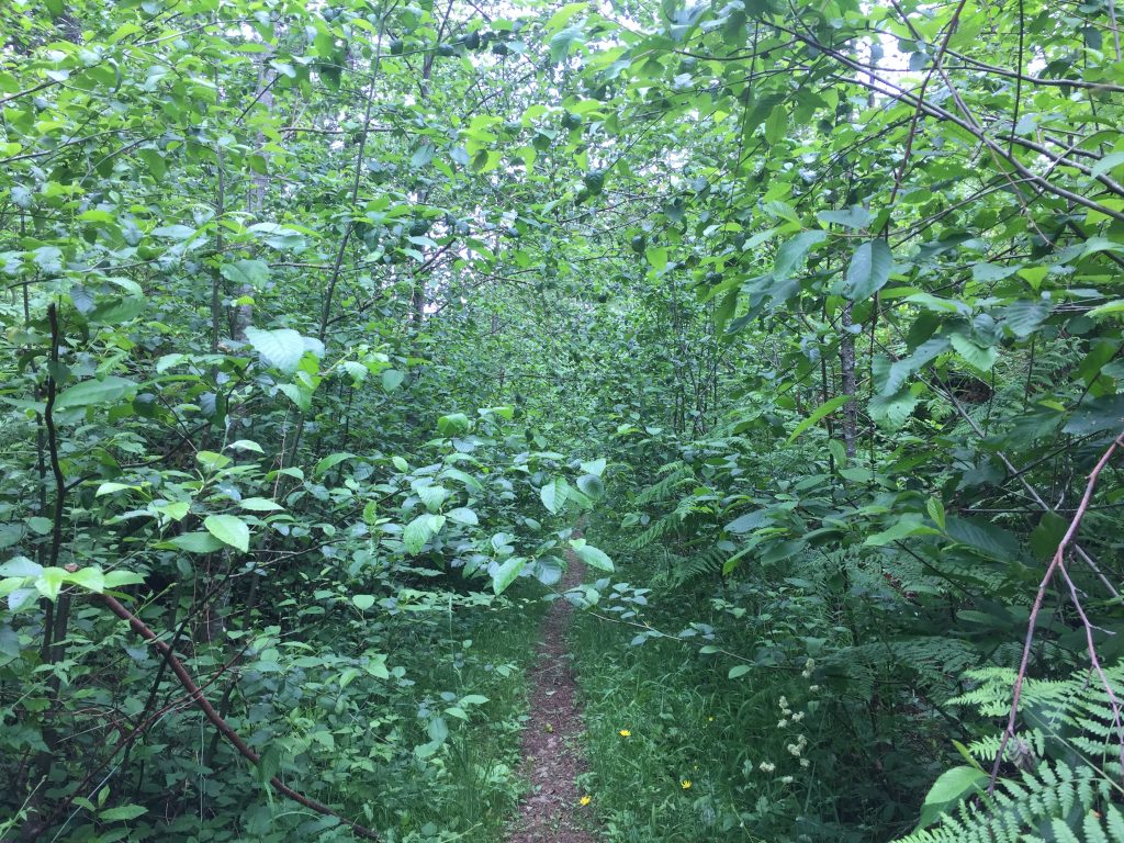
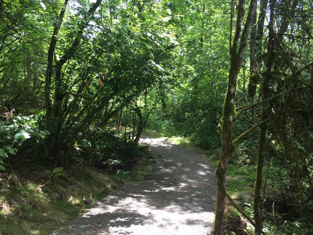
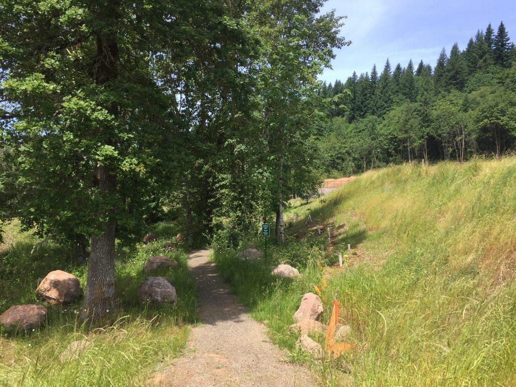
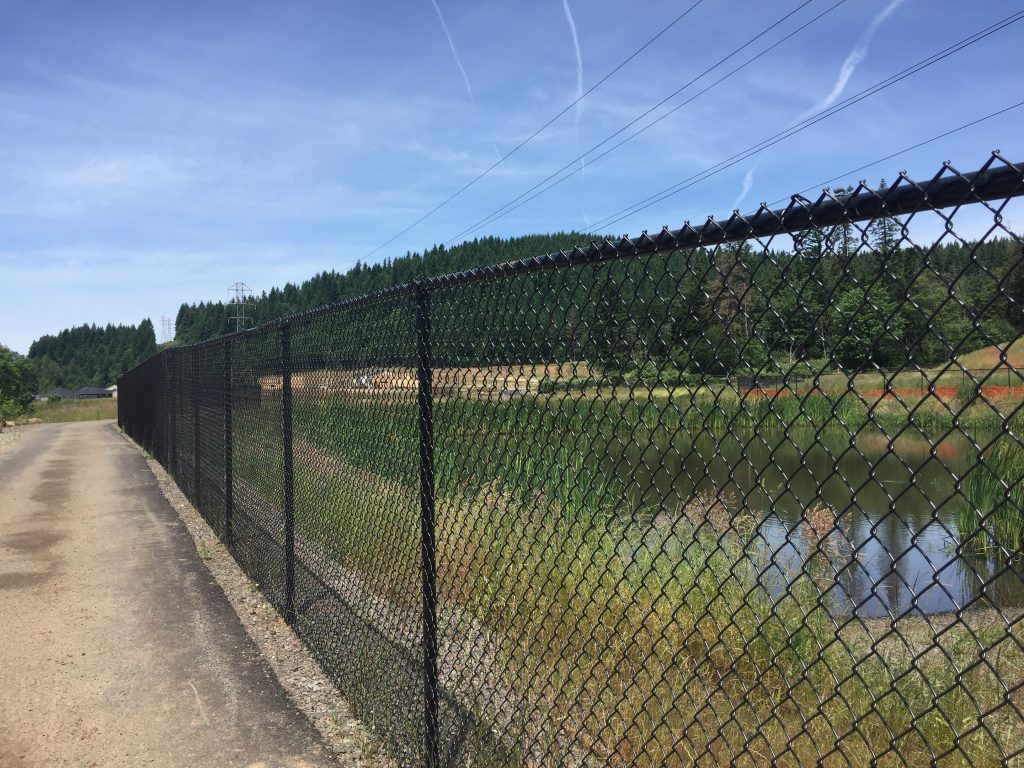
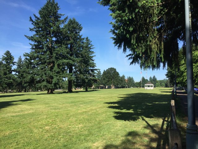
This open field above Lake Rosannah is a nice site for a leisurely stroll. Do not expect to find views of the lake. The forested hillside blocks that. The site is part of the conservation land protecting Lake Rosannah. There are existing paths that have been worn in the grass, and sometimes mowed. There are no existing trails down to the lake although it is my hope that some day there will be trails allowing a loop across the field, down to the lake, and back up.

Please Note: This is NOT a dog park. According to Clark County Parks rules, “Dogs are allowed at most Clark County parks and trails, provided they are leashed and licensed. … Clark County Code requires dog owners or handlers to pick up and dispose of their dogs’ waste, including in off-leash areas.”

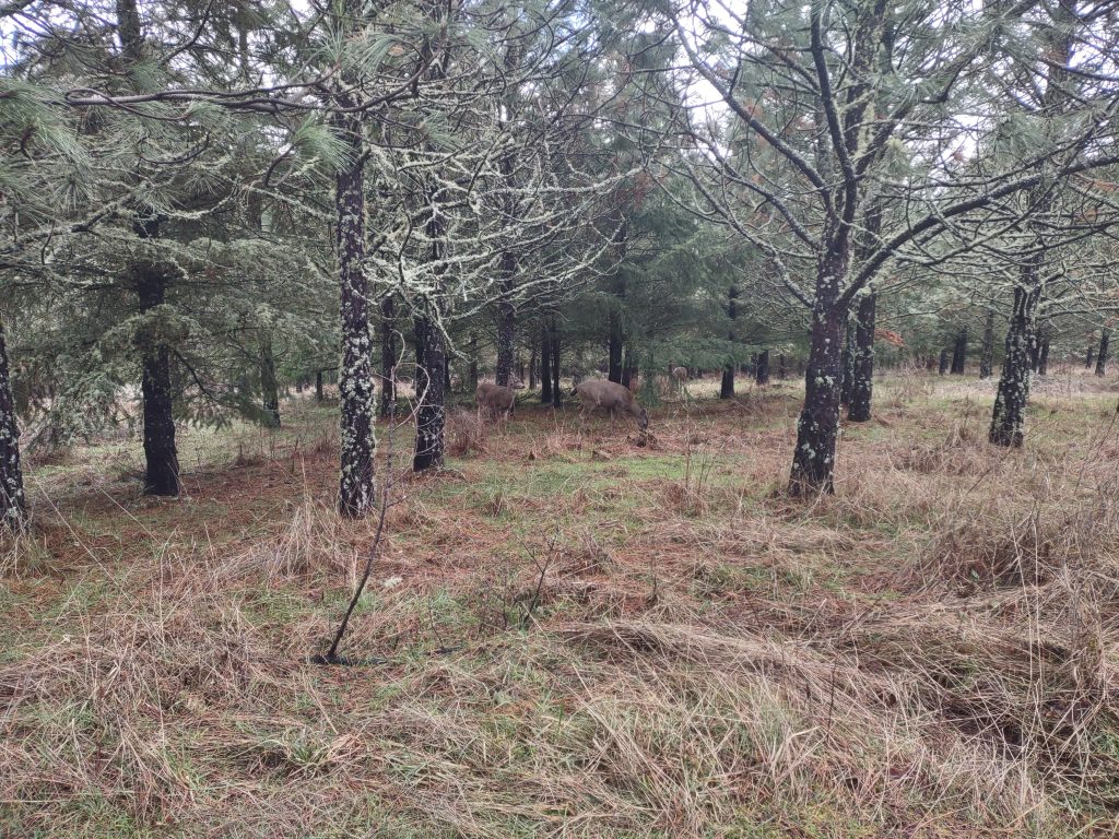
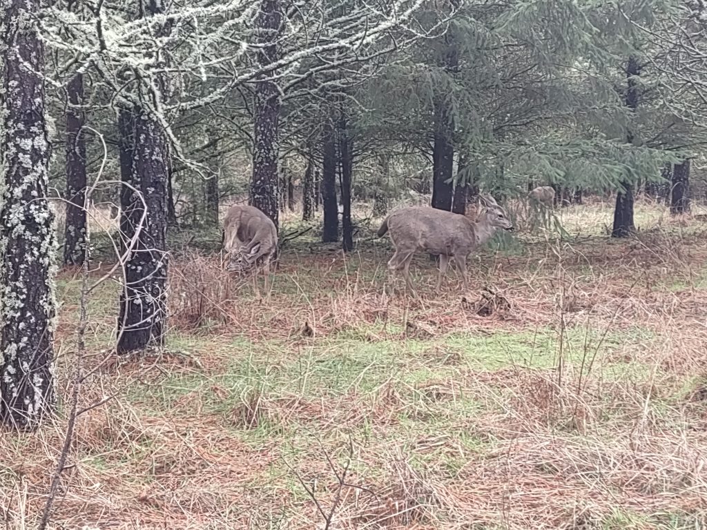
Note that wildlife may be present, and neighboring landowners have animals which may be disturbed by the presence of dogs so please, if you bring your dog, keep your dog leashed and do not allow your dog to become a nuisance.

Weaver Creek and Hidden Glen Park

Battle Ground’s Weaver Creek flows through Hidden Glen Park.  There are only a few short trails, and unfortunately the bridge in Hidden Glen Park is no longer there.  Short walks can be accessed from SE 5th Circle west of Weaver Creek or SE 5th Circle east of Weaver Creek, and from SE Scotton Way or SE 2nd Place.

Bells Mountain Trail/Cold Creek Campground

The Bells Mountain Trail gives a 20 mile stretch of hiking, but also connects to numerous other trails for exploring.  One good location to start a hike is at the Day Use Area by Cold Creek Campground.  This has a short trail to a small waterfall that connects with the Bells Mountain Trail.  There is also a short trail to the campground from the day use area.

Ingle Road/Green Mountain Trail

As part of the new development along Ingle Road, a trail is being developed through the development and along the side of Green Mountain.  Eventually, as further developments are completed, more trails will connect and lead to the Clark County Legacy land on the top of Green Mountain.  As of now there is no public access to that land.  The trails within the development allow for a little under a mile of paths.

Esther Short Park and Downtown Vancouver

I walked from Officers Row at Fort Vancouver through downtown Vancouver, along the Vancouver Waterfront and around Pearson Airfield for a great loop of a little under 4 miles.  You could choose any size loop.  While this is an urban area, there are still some very nice parks and sights of interest along the way.

Fort Vancouver

The area around Fort Vancouver includes a lot of great attractions to see, and plenty of paths to wander.  A good way to do this is to park along Evergreen Blvd, then walk either direction.  You can take a short walk along Officers Row, a longer walk around Historic Fort Vancouver, or even longer walks to downtown Vancouver, to the waterfront, and around Pearson Field.

The Discovery Historic Loop Trail is a great way to get to know this part of Vancouver.

Fort Vancouver

Ellsworth Springs East

Surrounding the City of Vancouver water treatment facility is a natural wooded area with trails meandering through out it.  In total there is likely a mile of trails.  Most of the trails are wide, level and well used, making it easy to wander for some time.  This is a great place to stroll through a forest.

There are entrances to the natural area at the corner of SE 102nd Ave and SE 15th St, at the end of SE 98th Ave, and on SE 16th St.