Category Archives: Parks

For sites that are a park setting.

Vancouver Waterfront

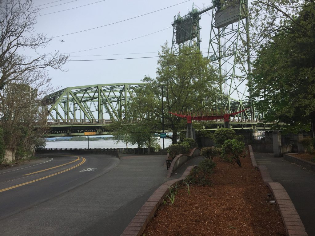
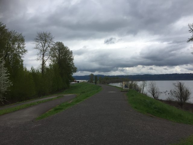
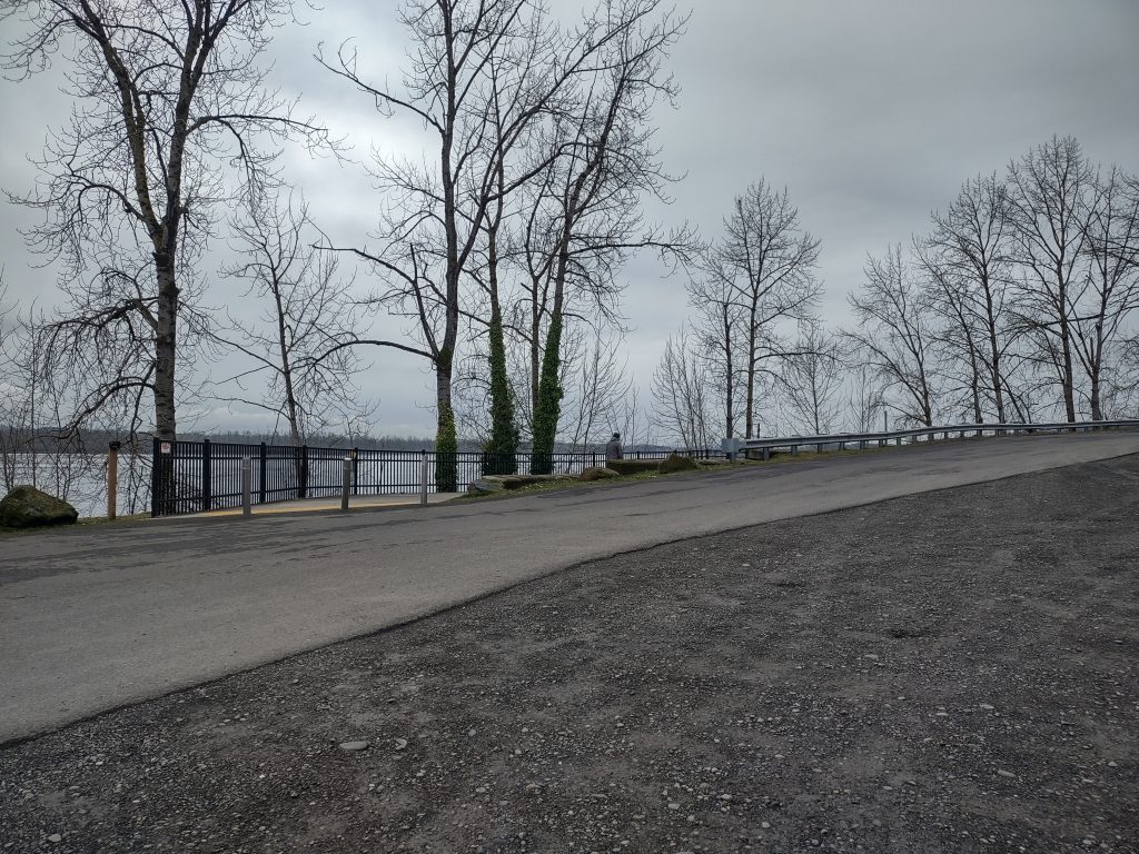
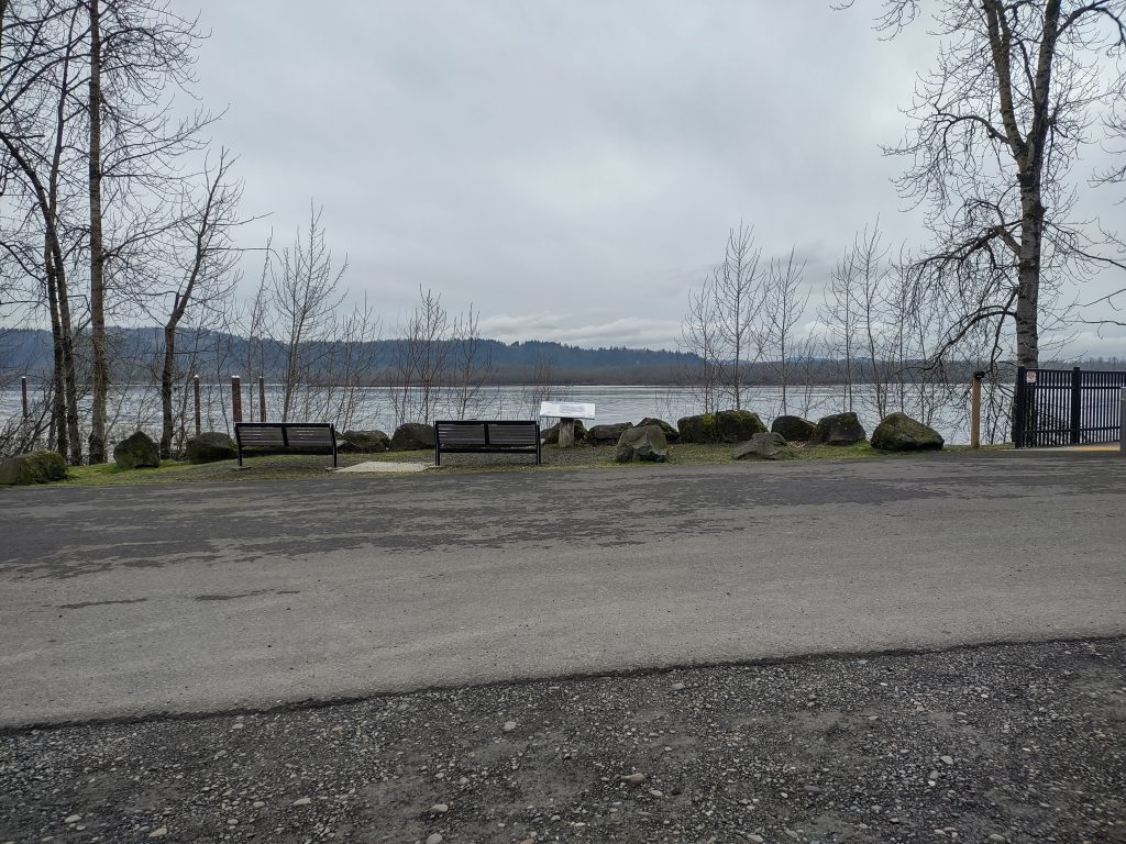
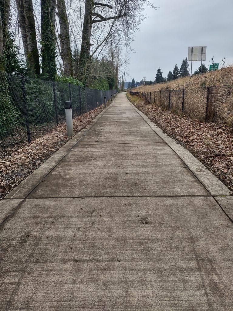
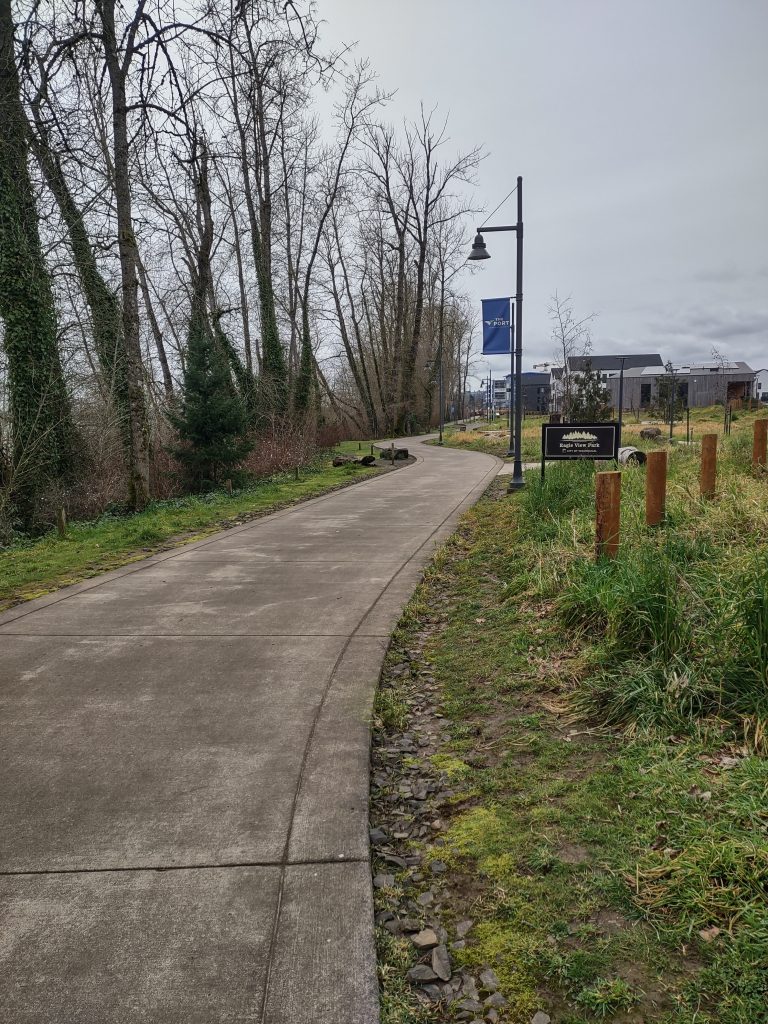
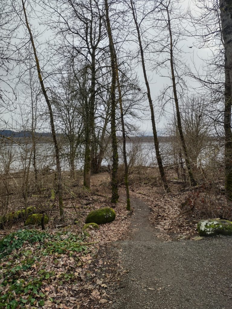
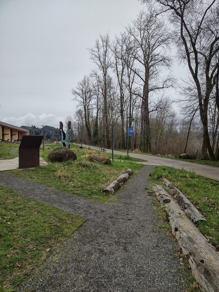
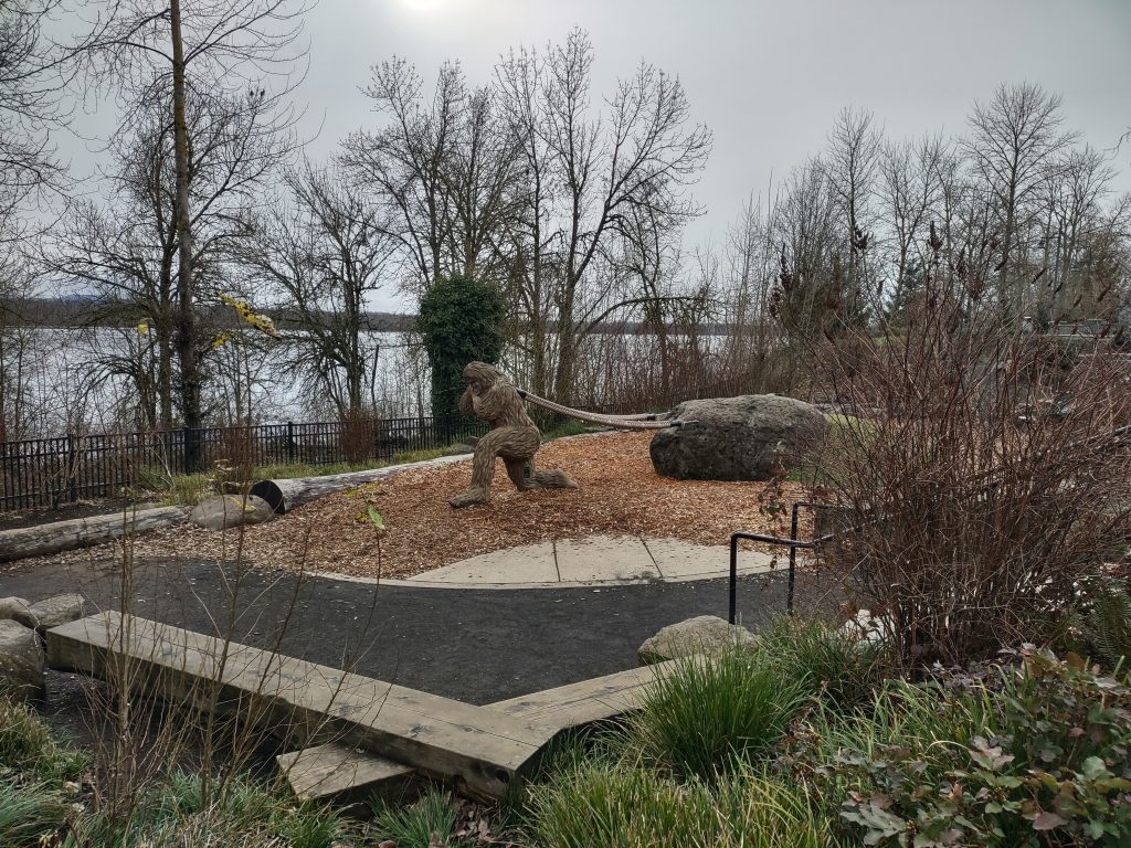
The Vancouver Waterfront has become a great place for long level walks.  Several new portions of path have been added, but one section, immediately east of I-5 has deteriorated and been closed to access.  Still, there is another route and just under 2 miles of connected waterfront walk.

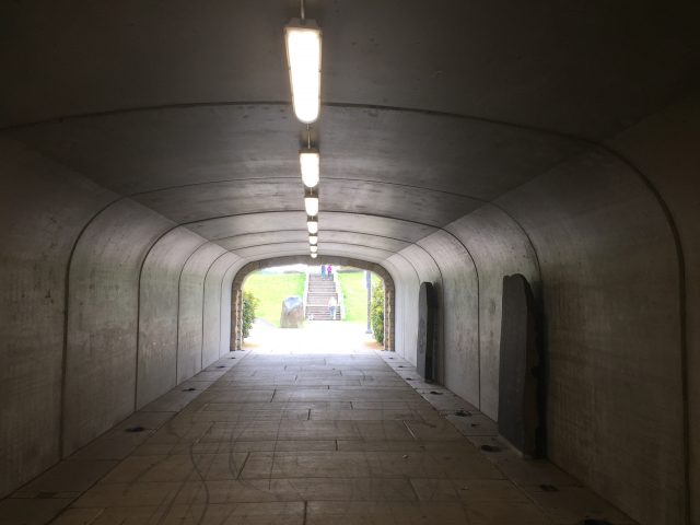
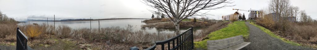
I feel the best place to start a walk on the waterfront is on Columbia Way just east of I-5.  From here you can walk along the river either east or west, or you can cross Columbia Way and visit the Old Apple Tree, the Confluence Land Bridge and Fort Vancouver.

Washougal River State Park

An undeveloped piece of land held by the state for a planned future park.  This site has one road running through it parallel to the Washougal River for 1.6 miles.  At the end of the road is a private cabin whose only road access is through the park.  Respect the landowner and turn back when you reach a very steep downhill slope.

Parking is at a small pullout a short distance before the gate.  The road in the park is paved for about another 800ft after the gate and then continues as a dirt road.  If you want to get down to the river, your only opportunity is a rough trail approximately 900-1000ft after the pavement ends.

Steamboat Landing Park

I stopped at the Pendleton Woolen Mills Store and was intrigued by a tunnel under Highway 14.  This tunnel took me to the dike path that runs from Steamboat Landing Park (next to the river side of the tunnel) to Captain William Clark Park, and further to Steigerwald Lake National Wildlife Refuge.

For this walk, you could either park at the Pendleton Store or at Steamboat Landing Park.

Schmid Family Park

A large field along the Washougal River, this park has a trail to the river, and along the river.  Following the trail around the bend downriver can get you to Hathaway Park.  Walk to the river, to the bend, then back across the field for a 1/2 mile loop.

Foley Neighborhood Park Property

At first glance this just looks like an empty lot.  Walk to the back of the field, and you find trails through a wooded area and an orchard.  The first couple times I visited the site, I saw deer in the orchard.  The fence on the north side has an opening which allows the deer to easily access the orchard.

To walk the trail through the wooded area, around the perimeter of the orchard and return to the start is about a 1/3 mile path, but of course, you could meander through the orchard.

Sorenson Neighborhood Park

Another of Clark County’s newly developed neighborhood parks.  This park includes a 1/4 mile looping path and an interesting area of wood structures for play or relaxation.  Main frontage is on NW 26th Ave and a path connects through to the end of NW 109th St.

The empty land next to the park is the future site of a school.

Sorenson Neighborhood Park

Columbia Springs

The Columbia Springs Water Resources Education Center and Trout Hatchery has over a mile of trails to wander around and lots of great educational resources.  The public parking lot is just to the west of the Trout Hatchery.

From the parking lot, you can take a short loop trail (1/3 mile) past the Nature Play Area, or follow the path alongside Evergreen Highway to the Cedar Loop trail.  East from the parking lot is the Trout Hatchery as well as trails around West Biddle Lake and to East Biddle Lake.  To walk all of the trails, out and back, would take you just under 2 miles.

Sunset Falls

Sunset Falls on the East Fork Lewis River has a Day Use Area ($5 day use fee) and Campground.  The trail from the Day Use Area parking lot to the falls is short, but you can easily extend a hike by walking the Forest Service roads and exploring side trails.  When I was there, I followed NF-42 about 1-1/2 miles along the river and explored several short side trails from the road to the river.