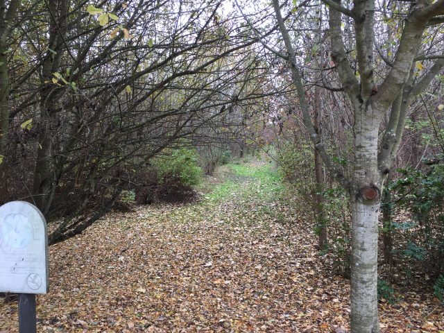
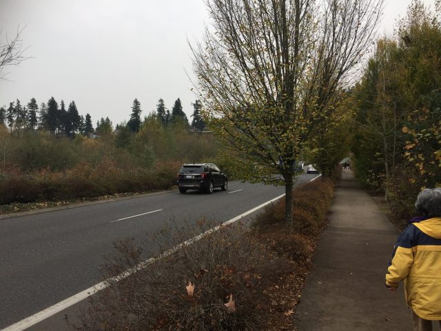
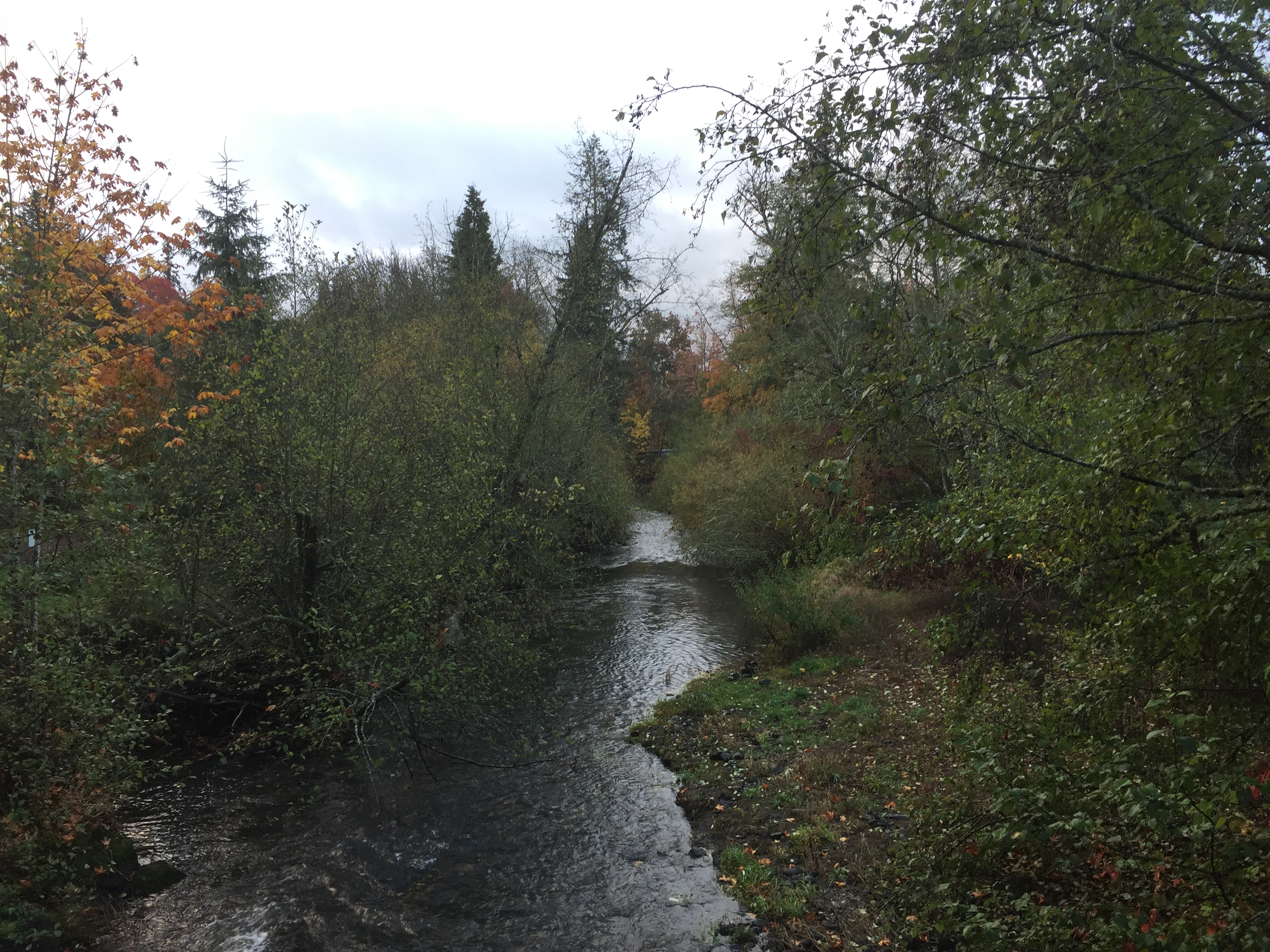
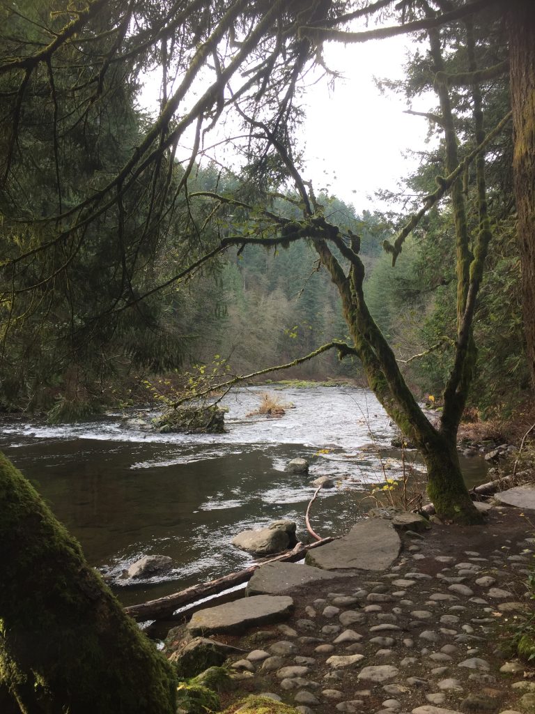
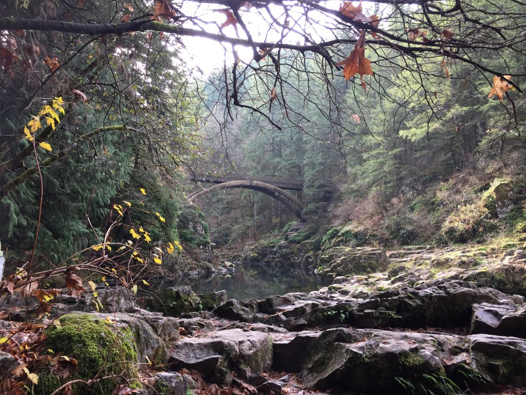
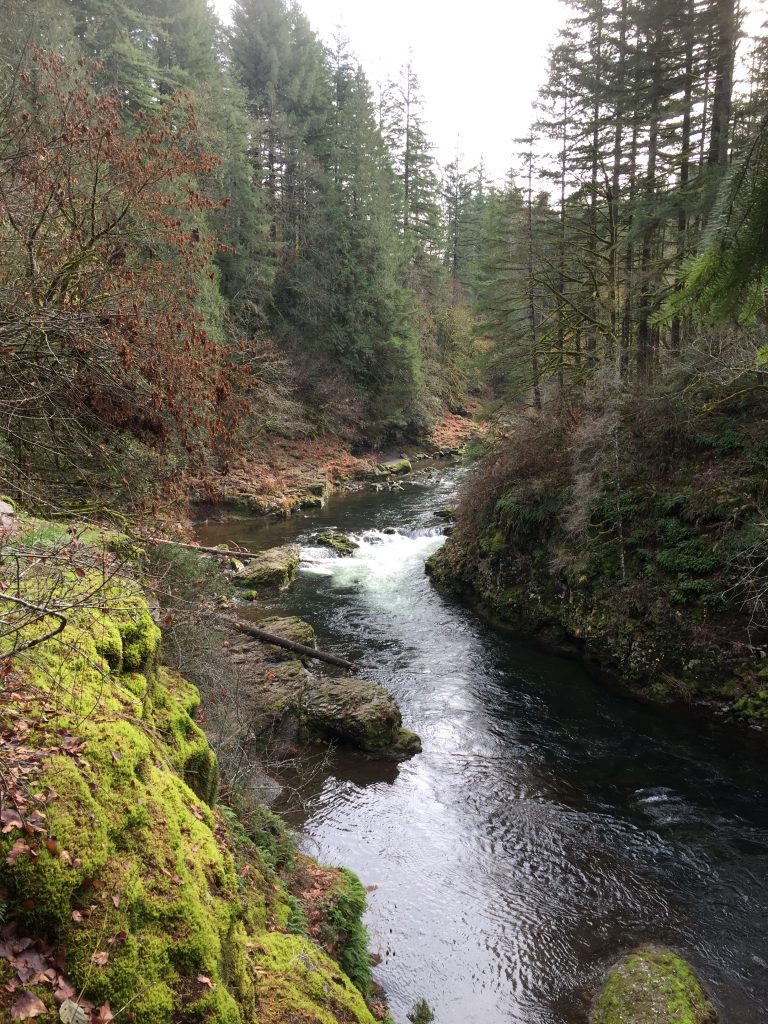
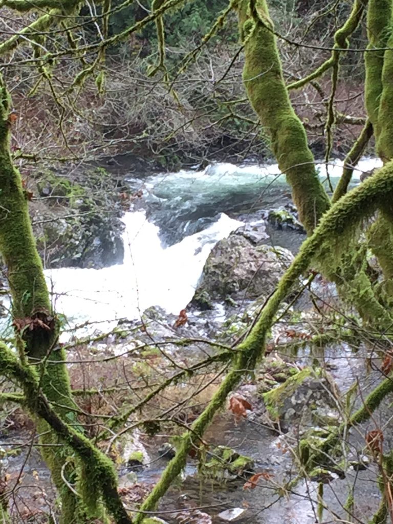
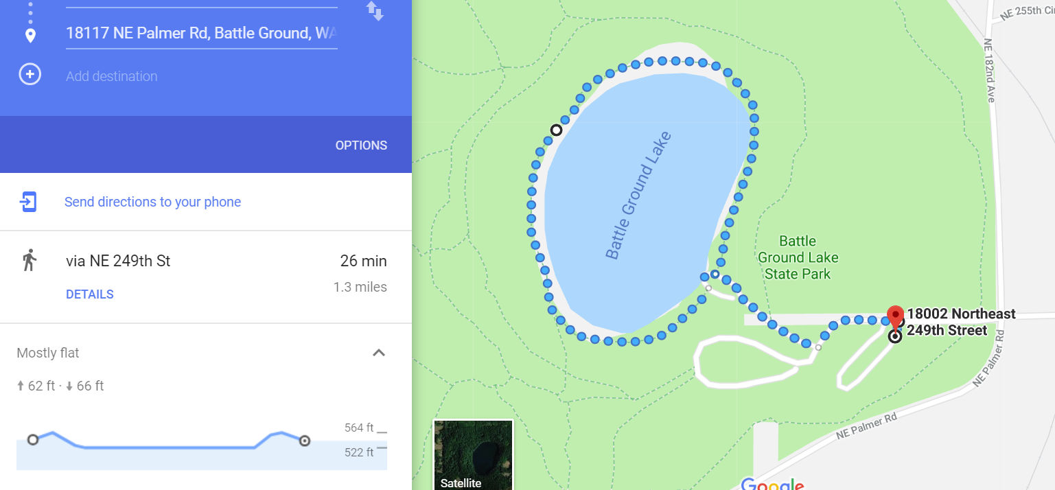
This is one of my favorite places to go for a good walk. Several trails loop around the park, allowing you to not only make a loop hike, but to loop around the Lake three times without walking the same trails twice.
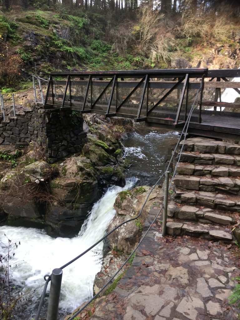
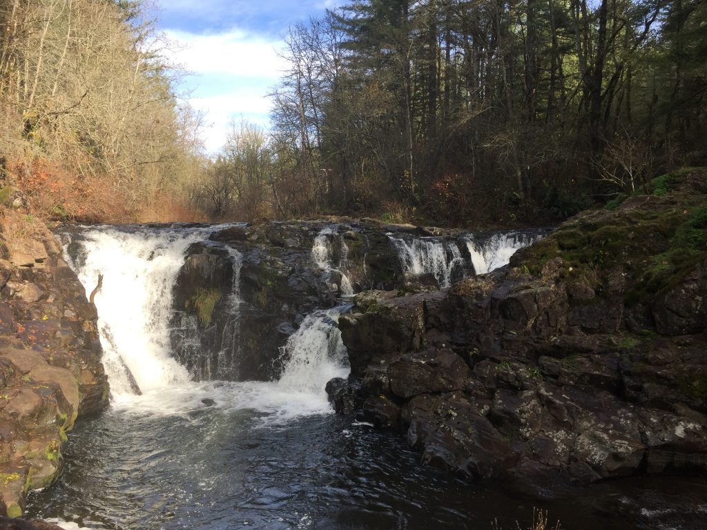
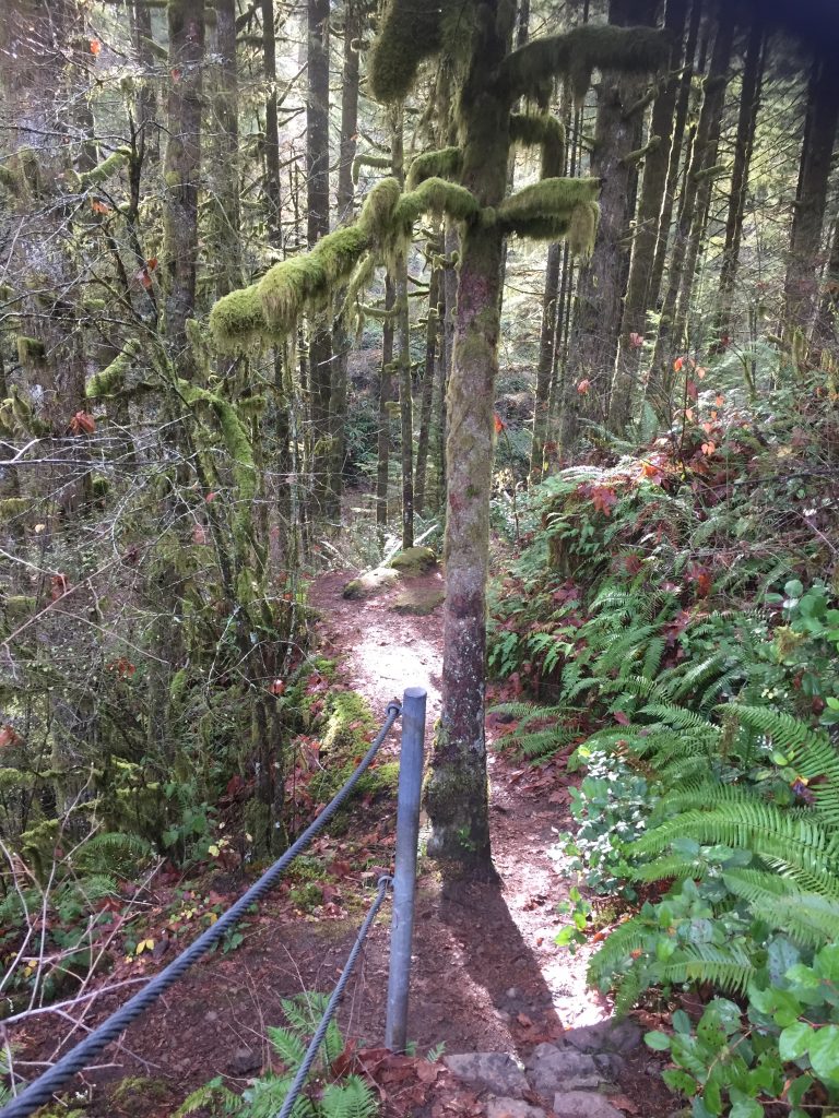
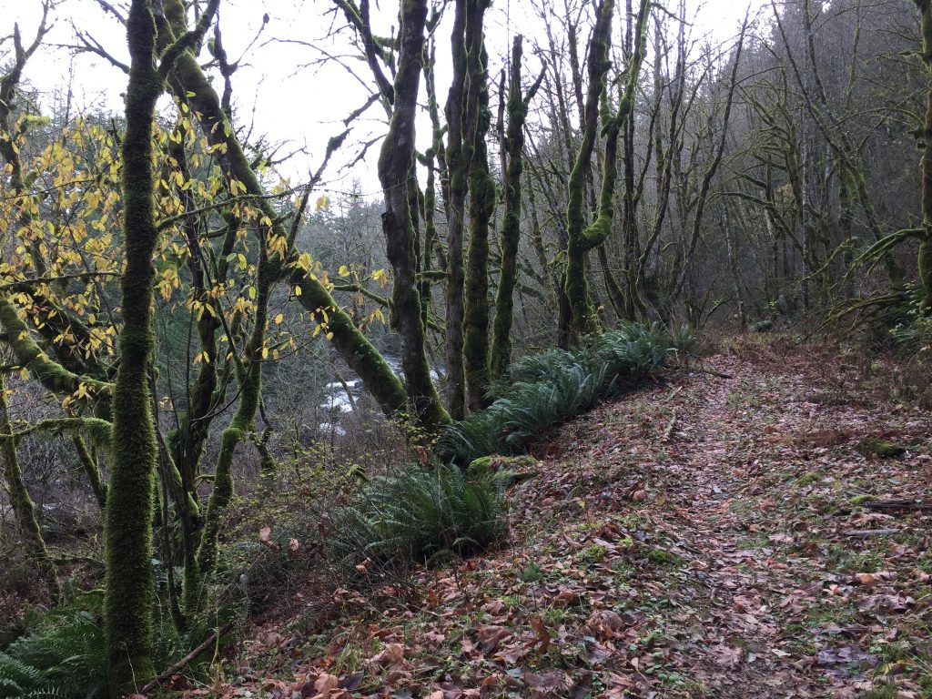
Most of the outermost trails are open to horses and mountain bikes, and are also easy trails for walking. The trails closest to the lake are closed to horses and bikes, but can also be difficult to maneuver if you have any trouble with rough terrain.
The State Park charges a day use fee or Discover Pass.
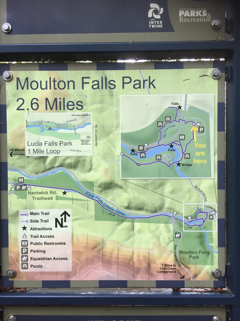
The smallest loop around the lake will take you about a mile and a quarter (including the walk from where you park), and the largest loop is about 2-1/2 miles. The park trails are pretty well mapped in Google Maps.
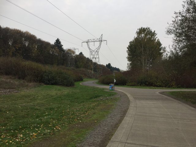
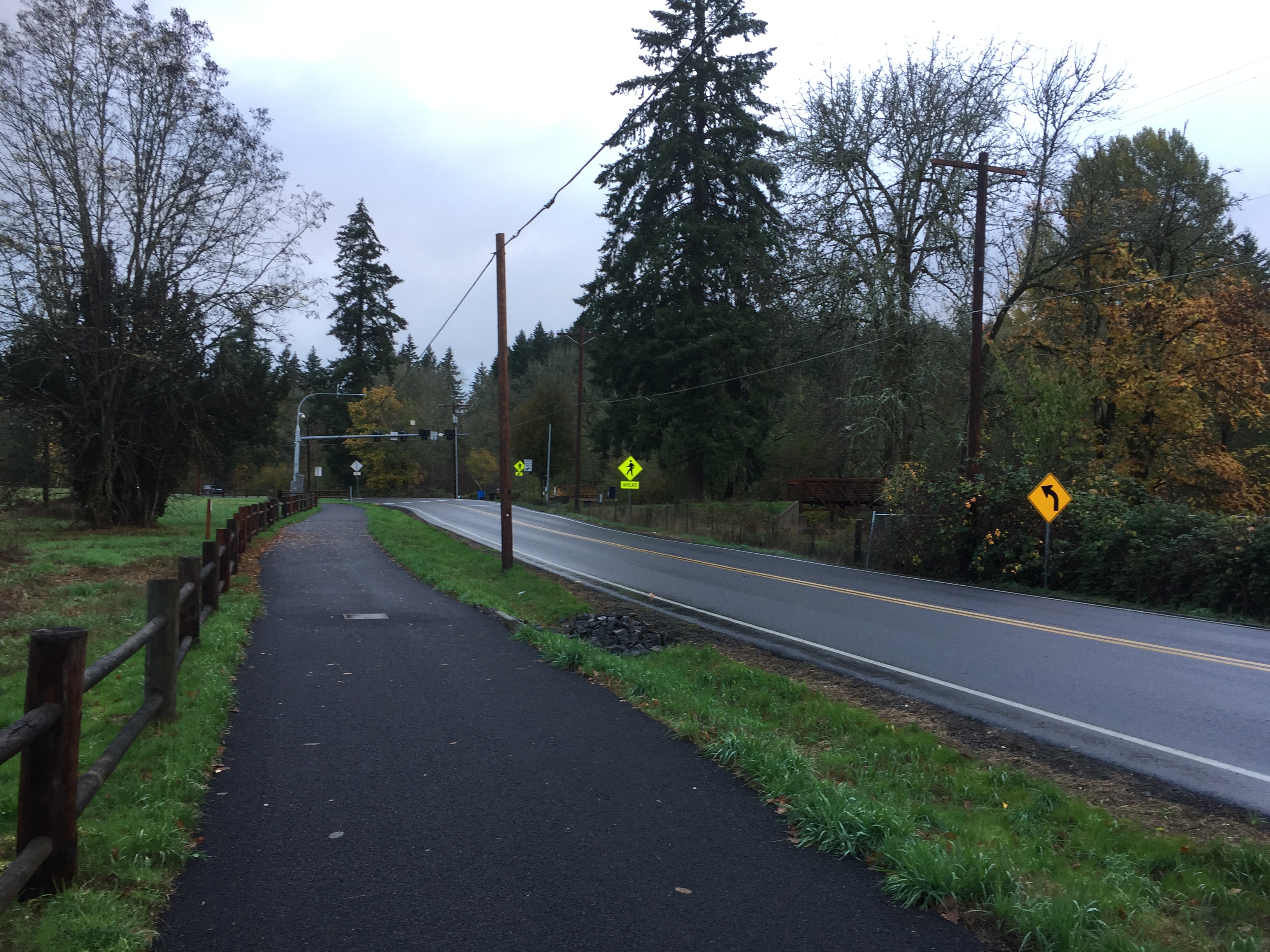
In addition to trails around the lake, there is the Chelatchie Rail Trail, a 1 mile paved path following the railroad to the east of the park.
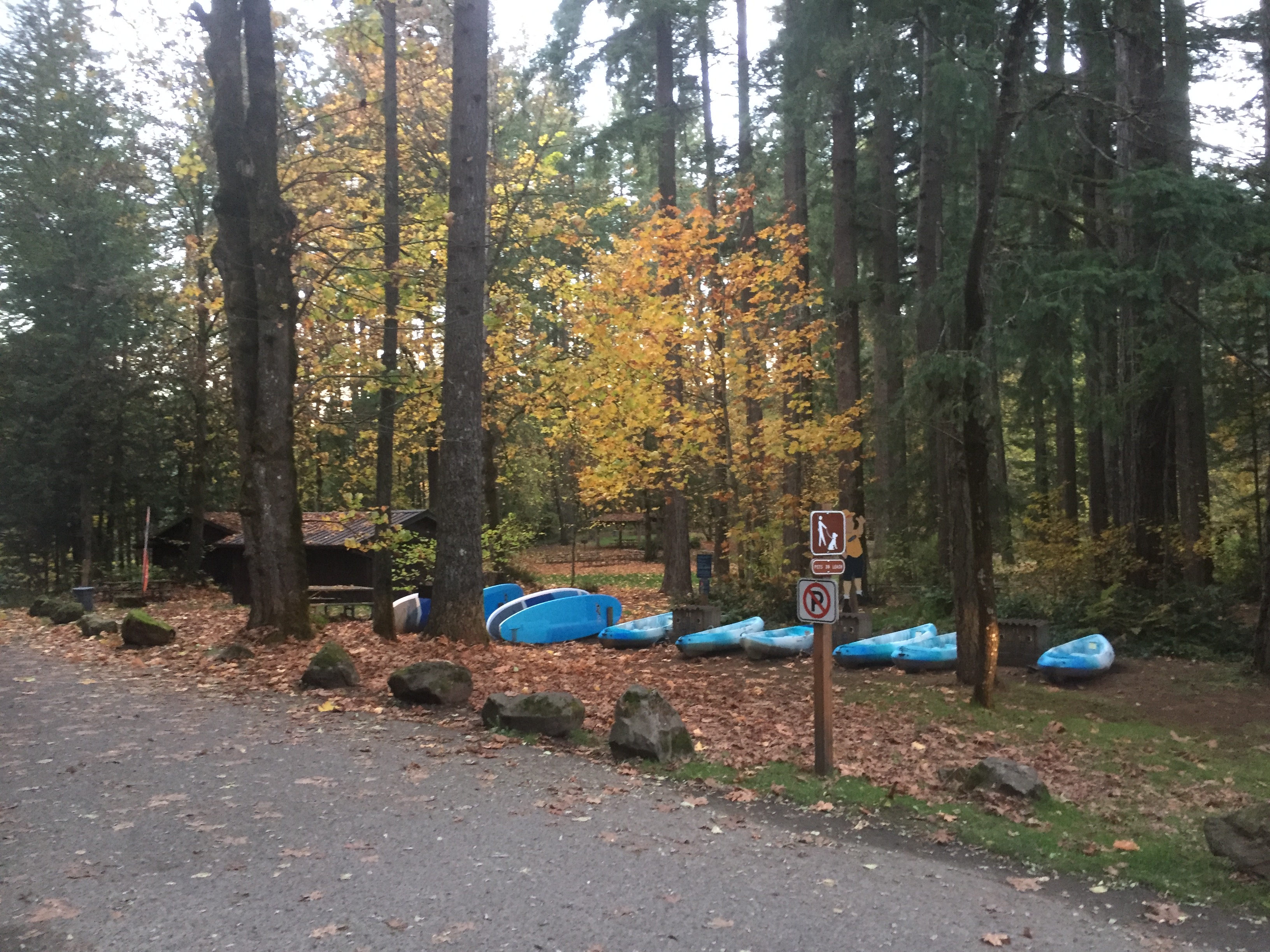
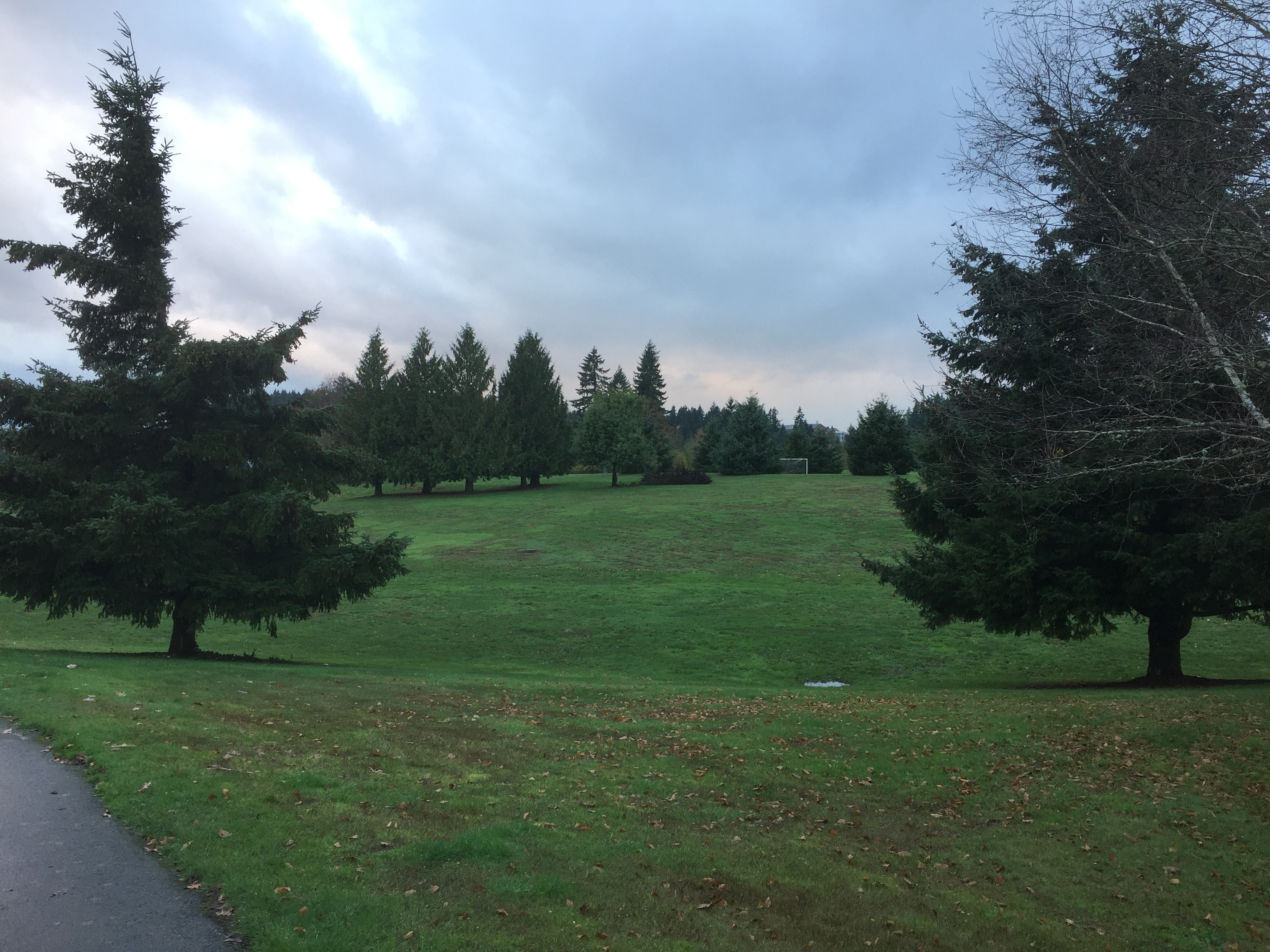
Battle Ground Lake State Park 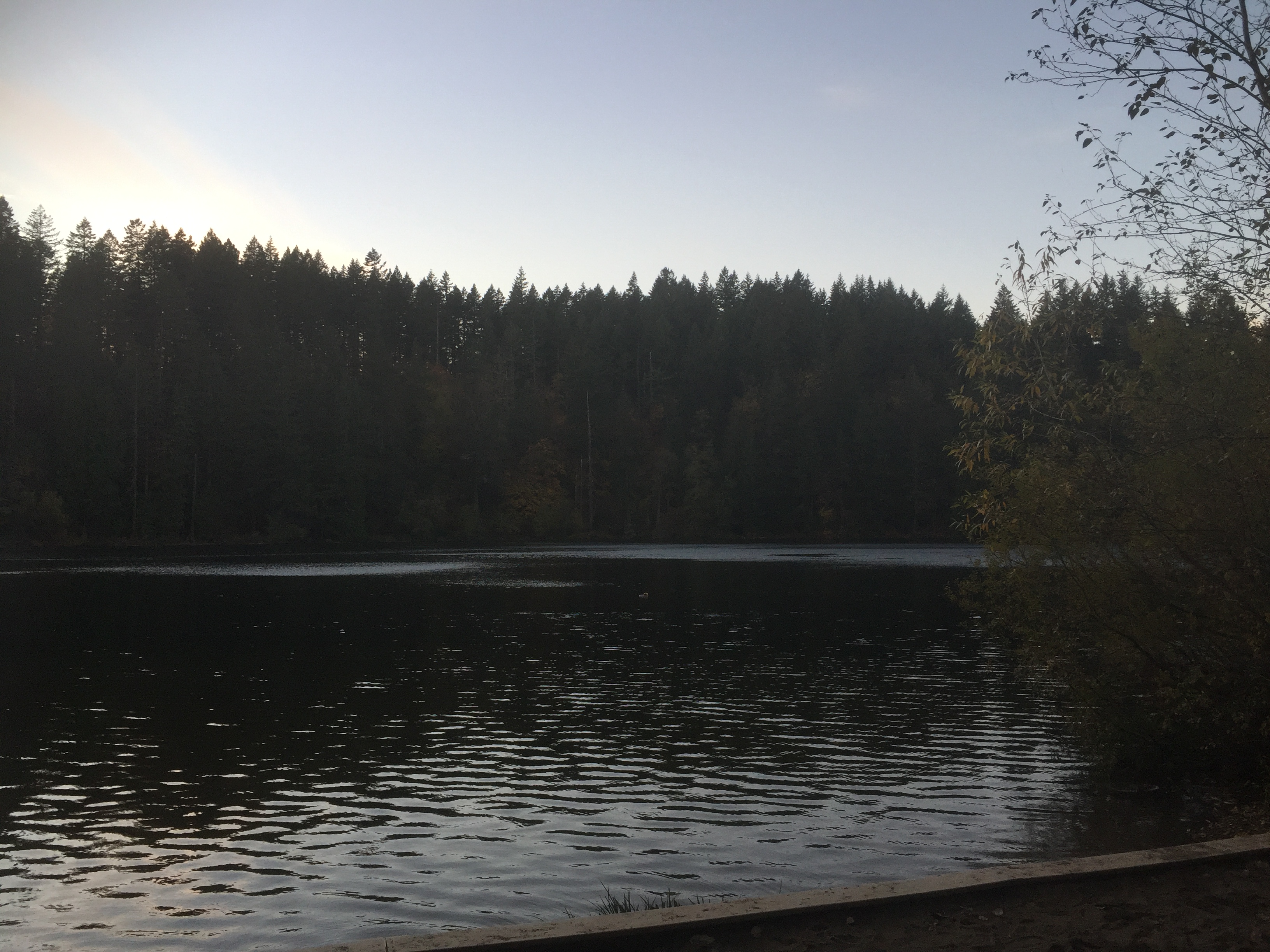
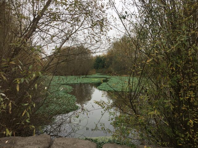
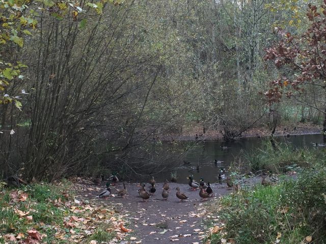
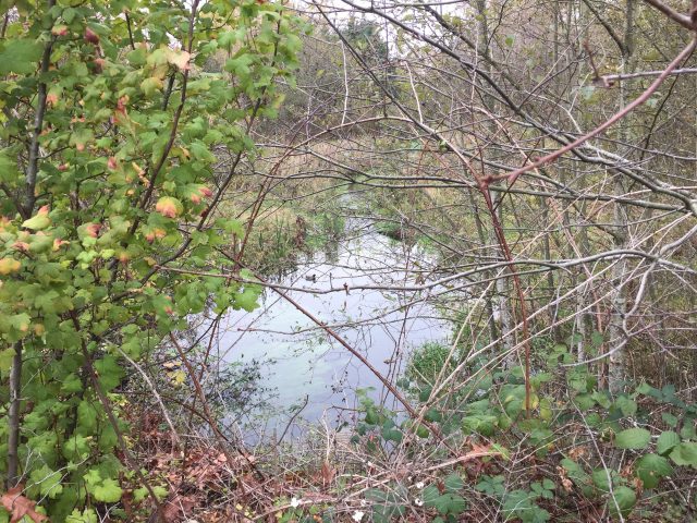
Battle Ground Lake 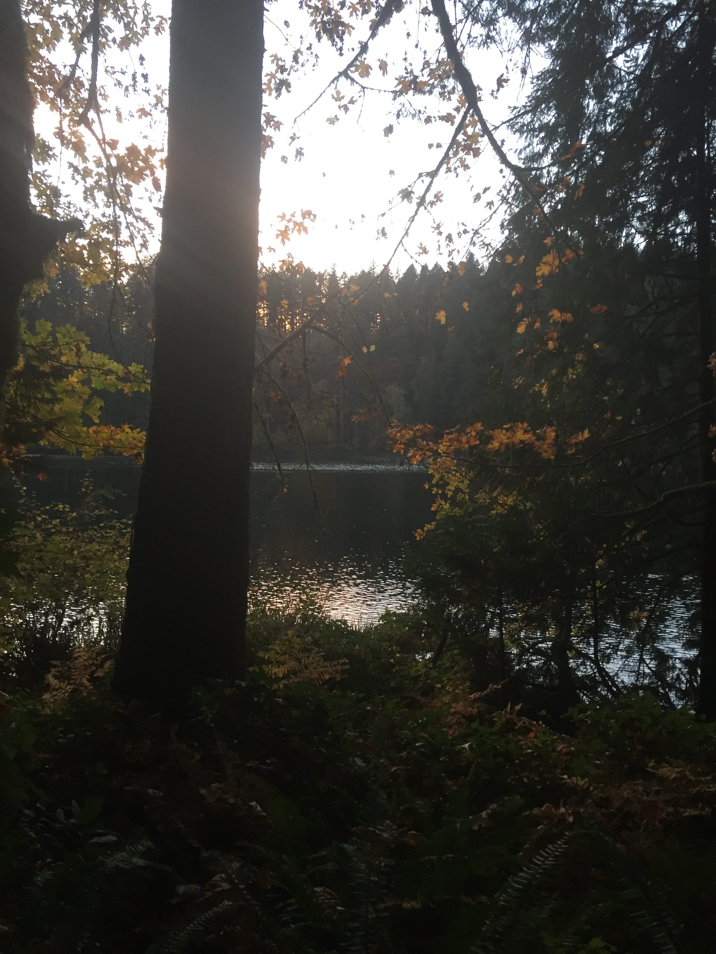
Battle Ground Lake 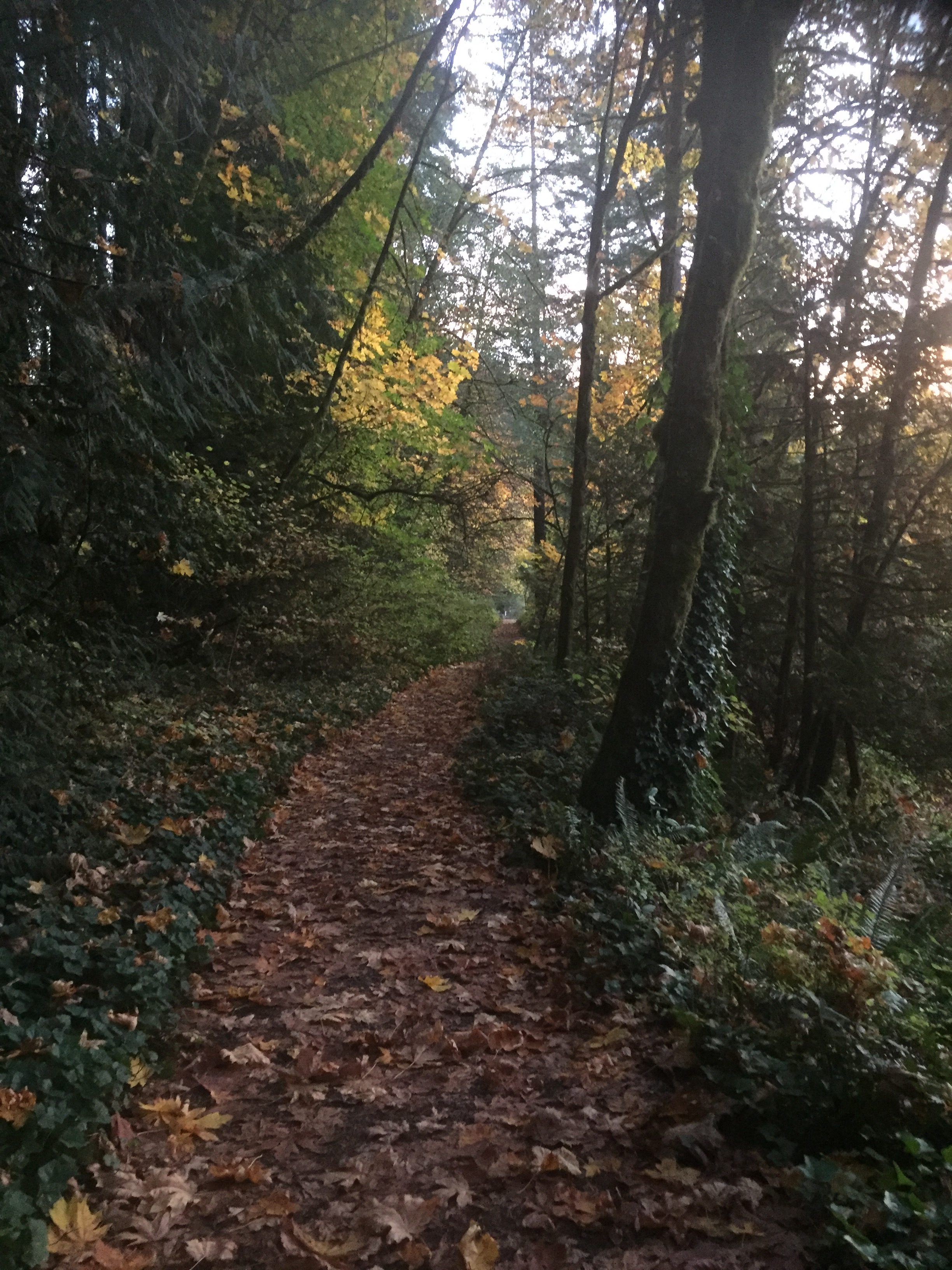
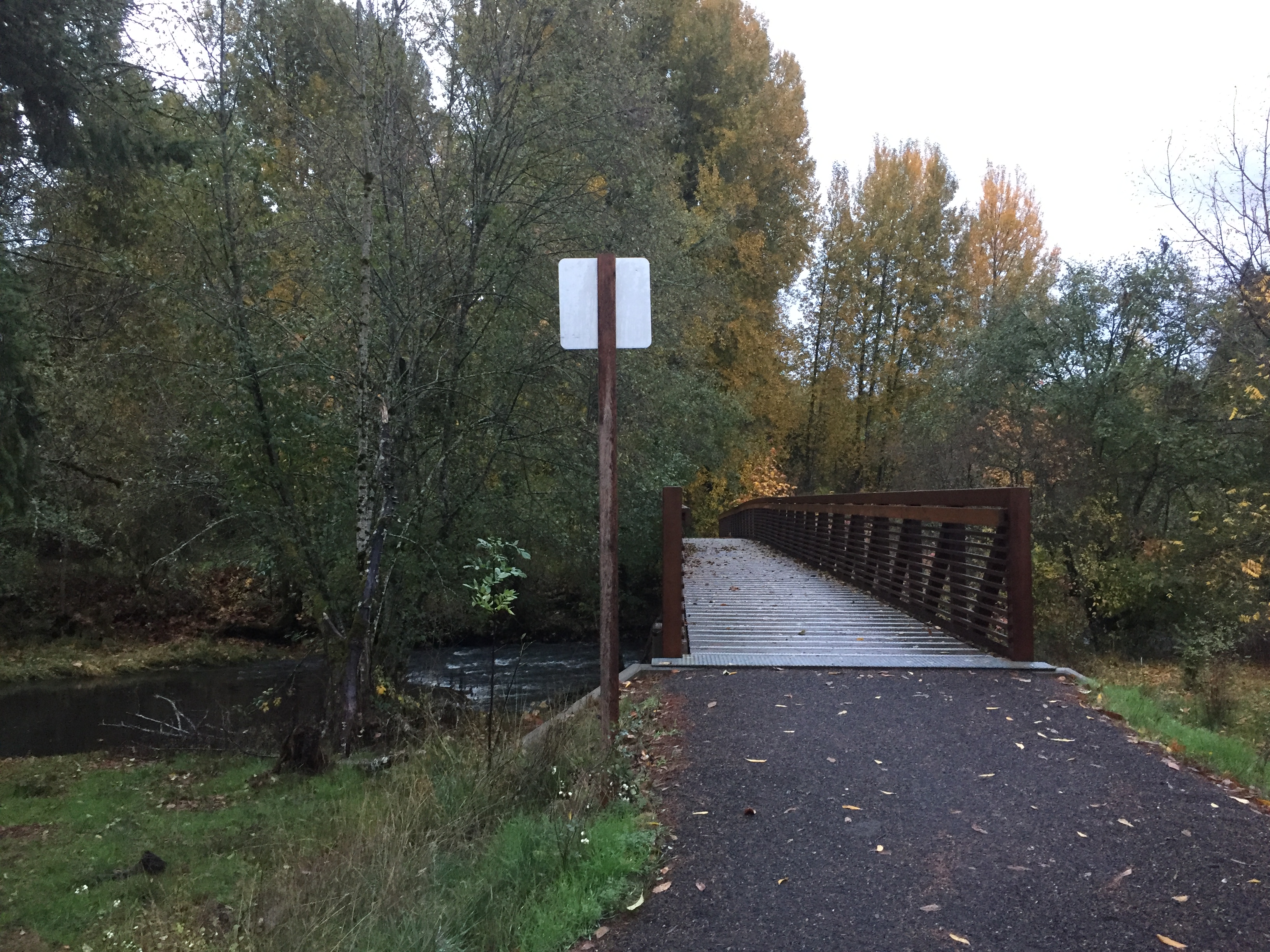
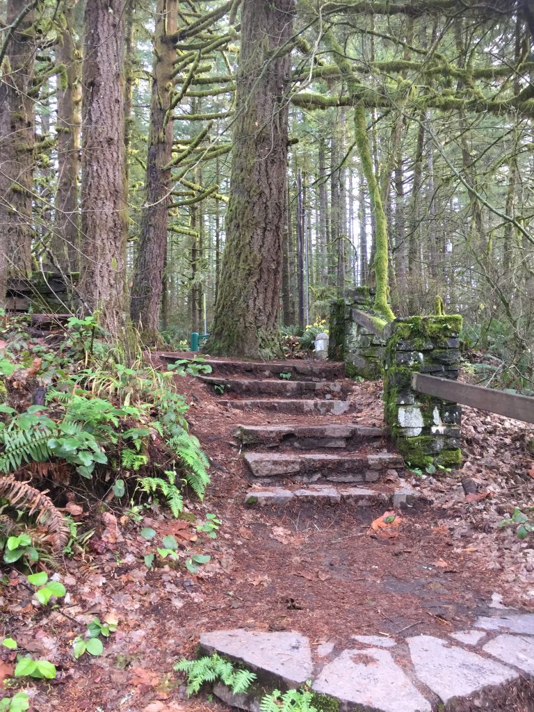
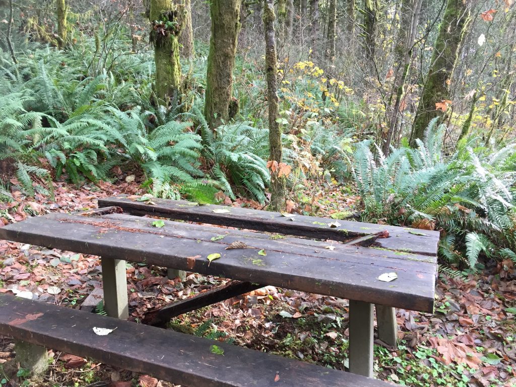
Trail in Battle Ground Lake State Park