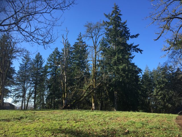
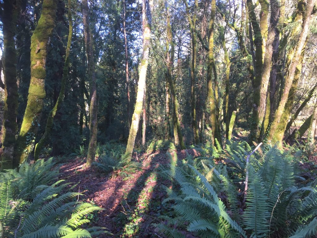
This is actually an as yet unnamed undeveloped park, but it does have a nice dirt 1/4 mile loop path for taking a walk. At the west end there are trails that continue into the forested area and some pastures, but these trails lead into private property and do not provide access to other public sites. A great plan would be to negotiate a right of way or land purchase from these property owners (4 would need to included) to create a trail access to the Whipple Creek Hollow Natural Area.
There are three entries to this area, two of which are connected by trails.
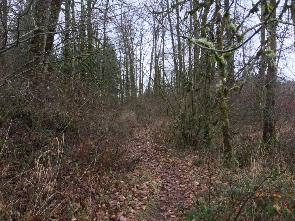
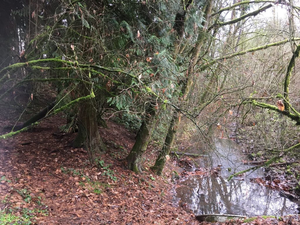
One entry is at the north end of NE 22nd Ave, and accesses a short (1/4 mile) trail that leads to Whipple Creek. When you hit the slope down to the creek, the trail splits. While it is possible to follow either trail, and then parallel Whipple Creek to meet up with the other trail and return to the fork, the walk along Whipple Creek can be difficult to follow, especially when the grass is very tall or the water overflowing the banks and there are blackberry bushes to contend with. When I visited in the summer I was not able to make my way through, but in January I could, since the grass was flattened down making it easier to find my way.
The other two entries are at the ends of 164th St and 165th St. A loop trail connects the two entries, and then connects with a trail that runs to Whipple Creek making for about 1/2 a mile of trails. There are some great photos posted by Michelle Rau on Google Maps.
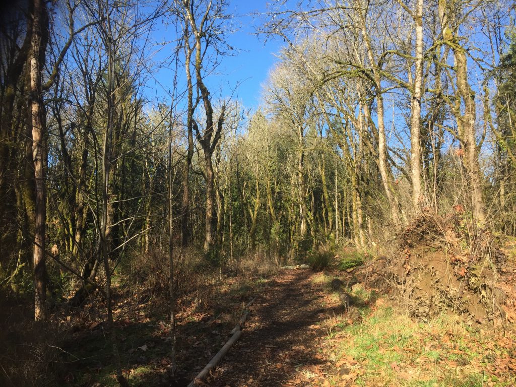
Trail at Whipple Creek Hollow Natural Area.
Whipple Creek in the Whipple Creek Hollow Natural Area.
One note of caution: The map at the 22nd Ave entry to Whipple Creek Hollow Natural Area actually shows a trail along Whipple Creek from NE Union Road, however, if you go there to find that trail, you will instead find a gate across the access with a sign that says Keep Out.
Not yet developed as a park, this site has a grassy field and a wooded area with some trails down to Whipple Creek. It can be interesting to explore the trails, just a short distance. Hopefully this site will become part of a connected trail system along Whipple Creek up and down stream. A trail that parallels the creek to the North leads into what appears to be a neighbors back yard, even though by the map it looks as though this should be part of the park property. Unfortunately there is no connection to the Whipple Creek Hollow area.
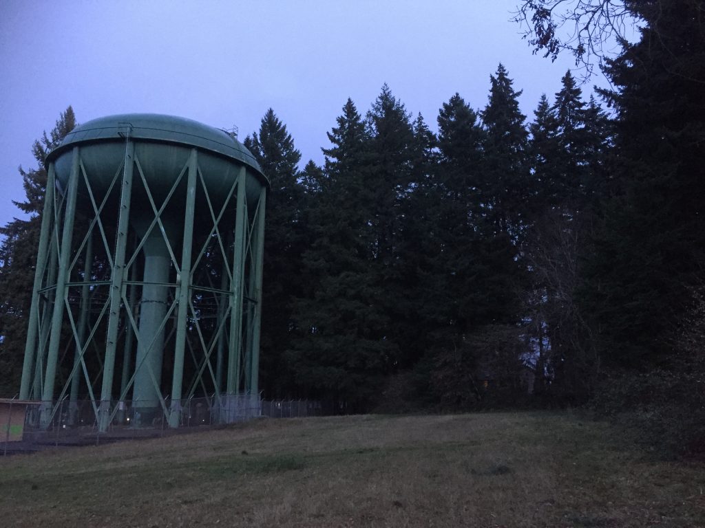
Small park with a dense stand of tall fir trees. About 1/2 mile of paved and dirt paths. In addition to the well maintained main park, there is a path that loops around the water tower, an area clearly used for BMX style dirt bike riding, and a series of dirt trails exploring the water bureau land.
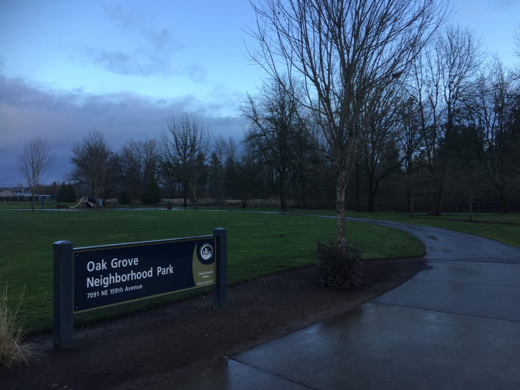
This small neighborhood park includes about a thousand feet of paved path. While there is an entrance on 162nd Ave, the only place to park is along 159th Ave.
Oak Grove Neighborhood Park
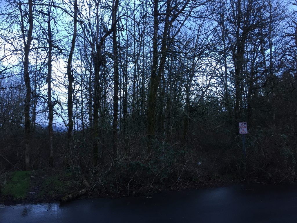
The vacant property to the south of the park, looks to me to have potential for a future expansion of the park. Perhaps it would be a good site for a nature trail and wetland restoration. Right now there are several unmaintained trails that reach into the site, but not anything I would recommended exploring for a casual walk. A concerted effort to clean up the litter and build trails could make this into an attractive nature park. I would guess that right now it is being held for future residential or commercial development.
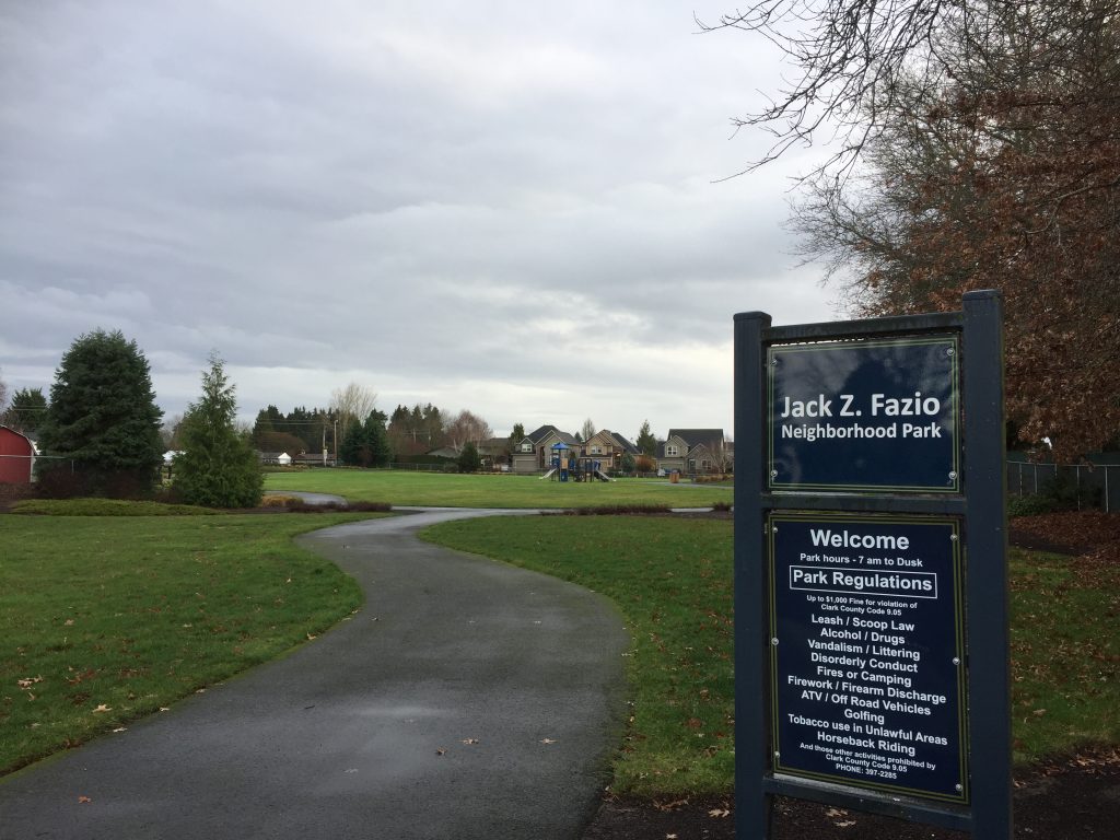
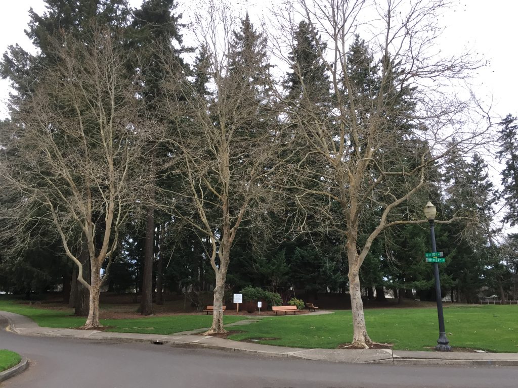
Named for the local farmer who donated this land for use as a park, this park has a nice loop path to walk. When I visited, there were people walking dogs around the path, as well as children playing in the playground and a group shooting hoops. The park can be entered from 99th St, 21st Ave near 99th St, 21st Ave near 96th St, or from 23rd Ct. Keep in mind that Neighborhood Parks are meant to be easily accessed by neighbors walking from nearby. They intentionally do not have parking for visitors from elsewhere. If driving to this park, the best place to park you vehicle would likely be at the end of 23rd Ct.
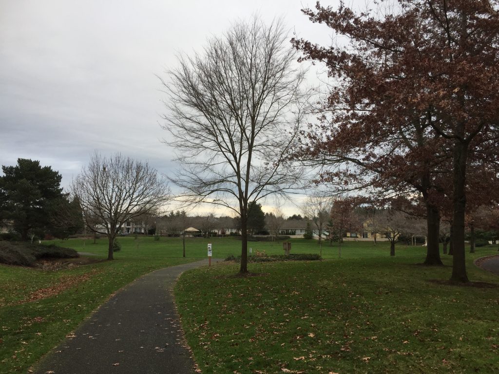
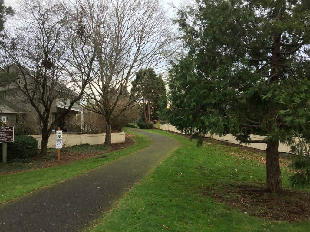
This neighborhood park includes connecting paths that open up a larger walk. After walking the loop around this park, there are interesting side paths. A longer walk is to leave the park through the path to the north, turn right on 29th St, then left at the path opposite 172nd Ave, cross through the small traffic circle and visit the little forested private park at The Firs.
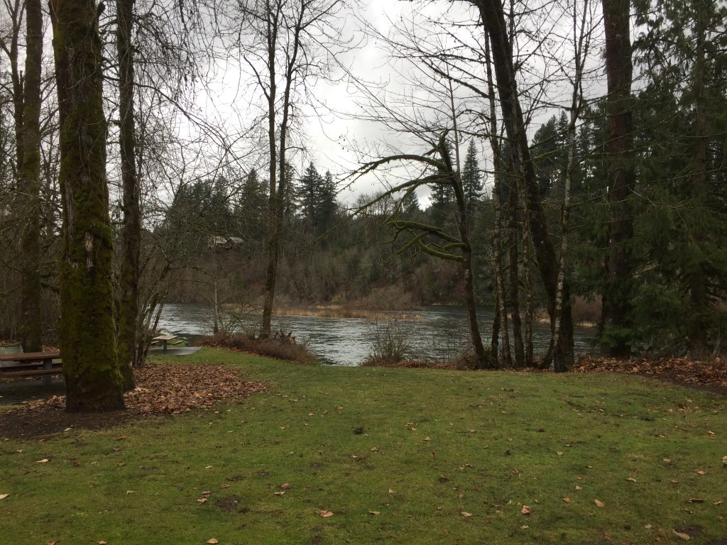
At first this appears to be just a small park with a boat launch, but explorers and fishers can find primitive trails to follow both upriver and downriver.
The paved paths include an approach to the river that is a good place to watch
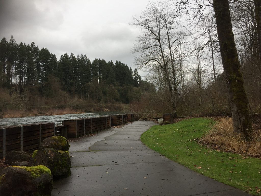
During high water season, the trails are flooded, but when the river level is low you can explore upriver along the shore, or a primitive trail which then loops back to connect to the field north of the park. I have not fully explored the trail downriver, but it appears to connect to a peninsula on the river which extends over half a mile downriver. Be prepared to climb over logs or other obstacles and pass through brambles with thorns.
Trail at Haapa Park and Boat Launch
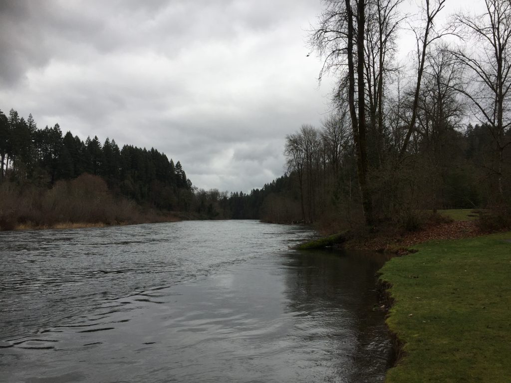
North Fork Lewis River at Haapa Park and Boat Launch
North Fork Lewis River at Haapa Park and Boat Launch
North Fork Lewis River at Haapa Park and Boat Launch
It may seem strange to include a rest area in a list of areas to walk, but this area does have a couple nice trails to wander. From the auto parking area, you can cross Gee Creek and walk a short path on the west side of the rest area through the small forested area between the rest area and freeway. There is also a dirt trail partially along Gee Creek. You can then go up the hill to the other side of the truck parking to walk a path along the east side of the rest area. Making a complete loop of both trails takes you a little over half a mile.
One caution, there is moss on the paved paths that can be slick if it has recently rained.
When I visited the park, there were fallen branches and a couple fallen trees from a recent wind storm, but Clark County Public Works was already on the scene working to clear the paths.