This park includes great paths to walk the lakefront, including sandy beeches. If go south, you can walk anther 2-1/2 miles across to Frenchman’s Bar and explore the Columbia River beeches there. To the north is a trail through the forest, which can make for a shaded walk on a sunny day, including a couple side trails.
If you park at Vancouver Lake Regional Park you will need to pay the $3 parking fee. If you just want to walk the trails, you can instead either park at one of the open parking areas to the south of the Park, near the turn of Lower River Road, or go north 1-1/2 miles past the main park entrance where there is a trail on the right.
The Salmon Creek Greenway Trail gives you miles of trails to walk. Most trails are wide paved paths, but some are gravel and dirt paths.
Note that if you park at Klineline Pond there is a parking fee. If you go 2000ft west you can park at the recreation center parking lot for free.
You can go west along the greenway trail to 36th Ave (about 3 miles), or east past Klineline Pond, under the freeway, and explore trails in the east pond area along Salmon Creek.
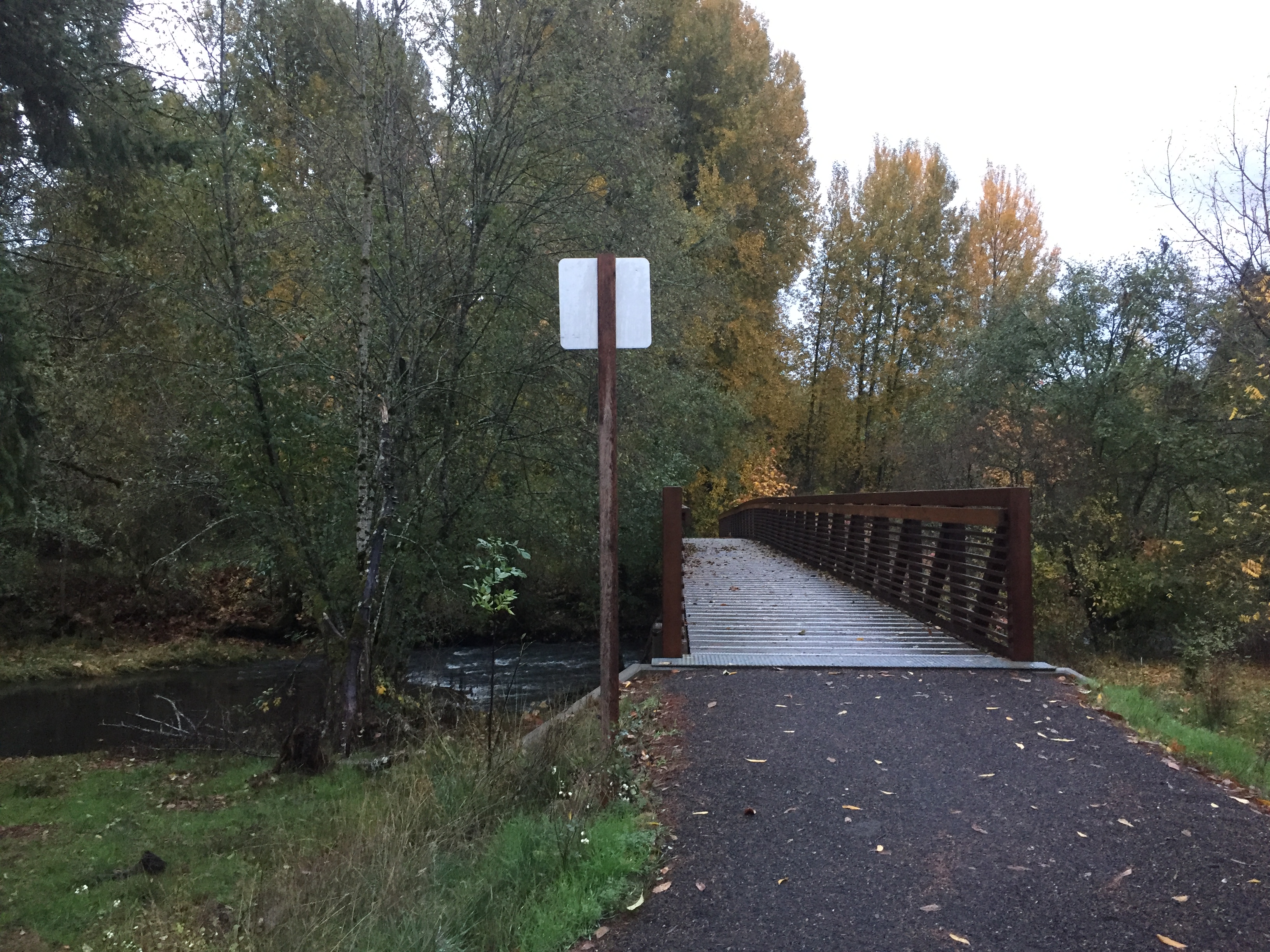
Park at the corner of NE 143rd Circle and NE 47th Ave. Walk the path west about 1000ft through the park, then turn right to go down the hill towards Salmon Creek. Another thousand feet gets you to the bridge over Salmon Creek. There is a crosswalk with crossing signal to help you safely cross NE Salmon Creek Ave. Follow the path another 2000ft to the road leading up to Washington State University. Once you reach the WSU campus, you will find several miles of trails to explore.
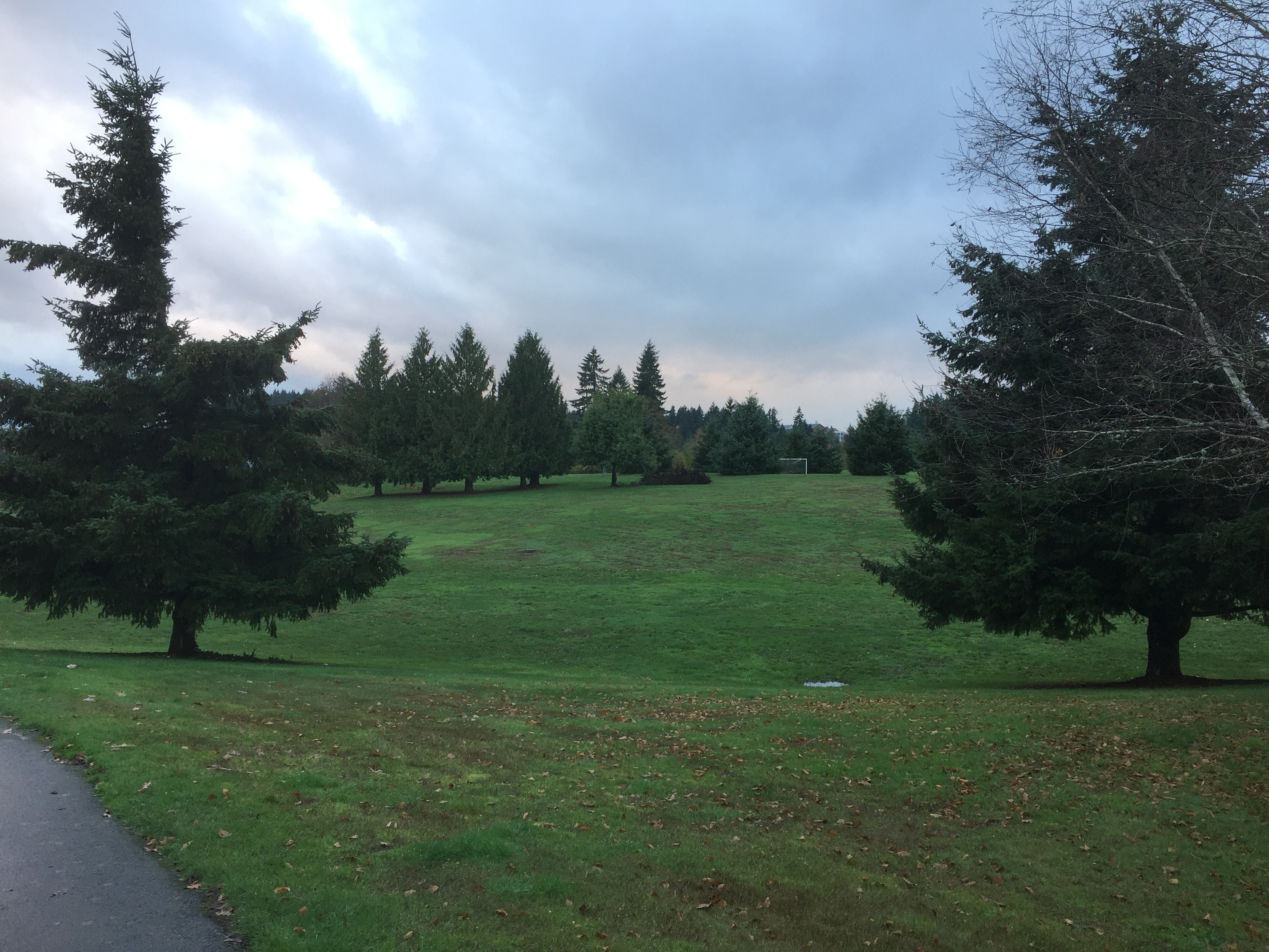
Pleasant Valley Community Park.
Pleasant Valley Community Park, looking toward WSU.
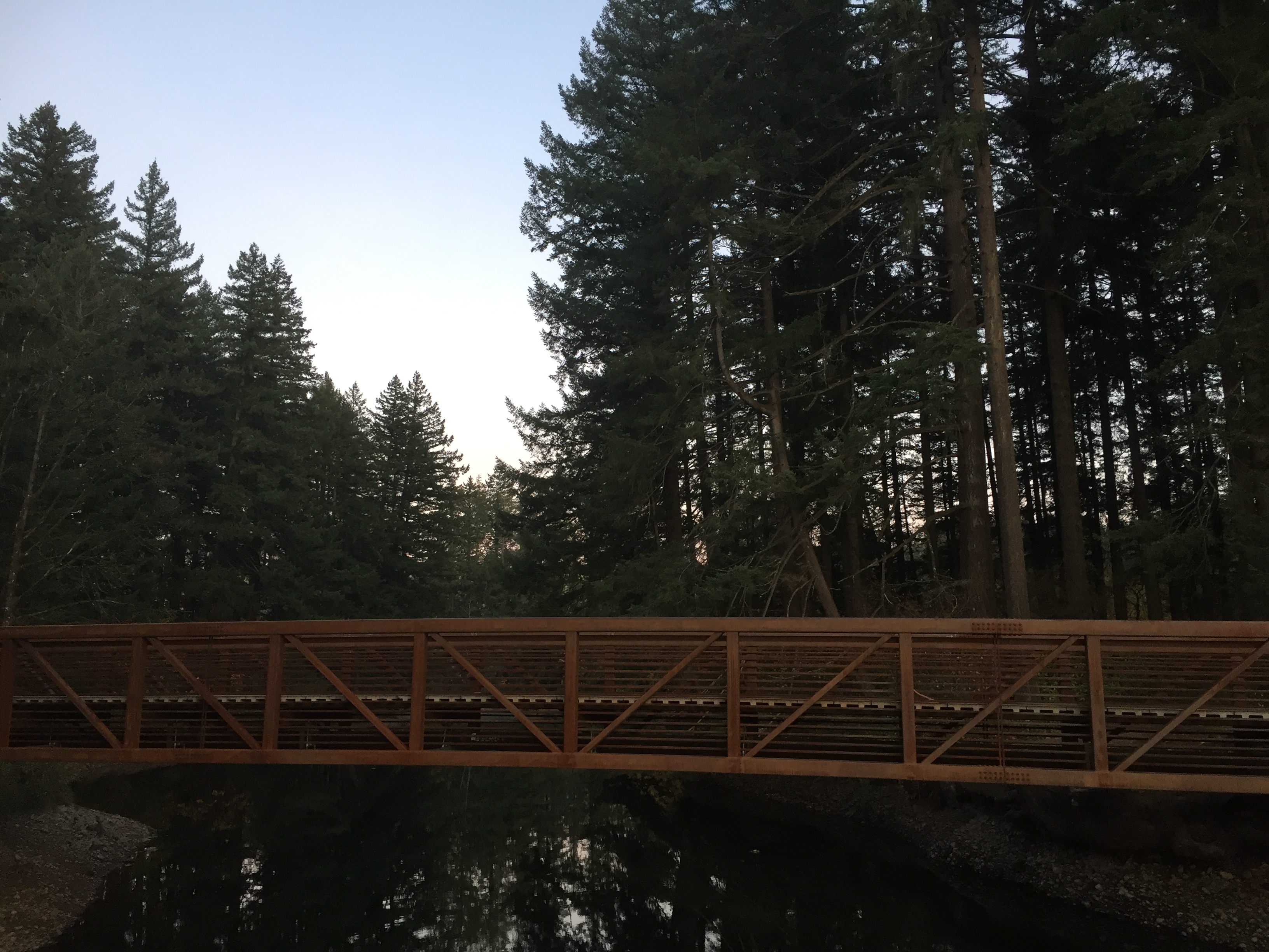
Trail bridge across Salmon Creek.
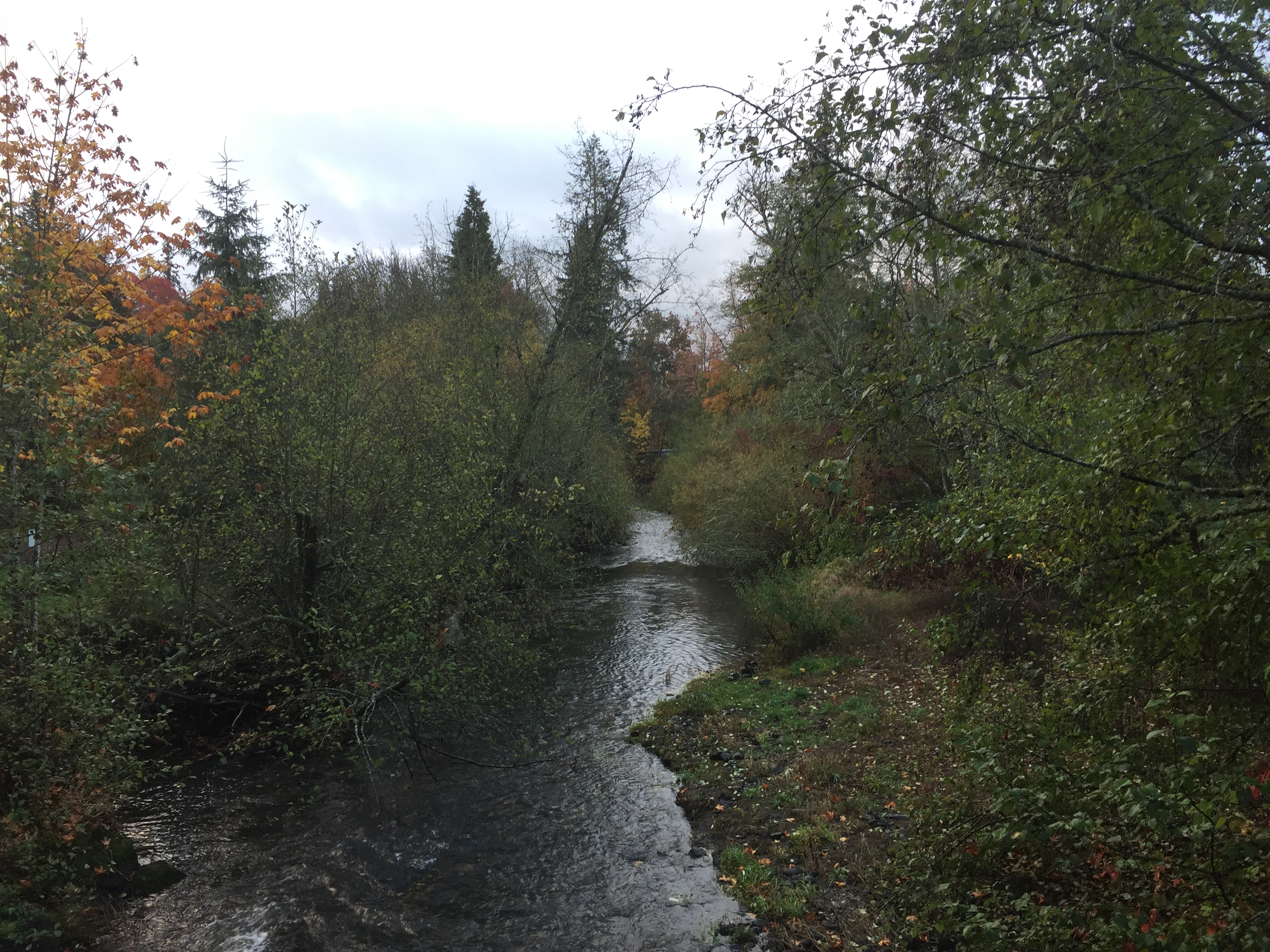
Salmon Creek
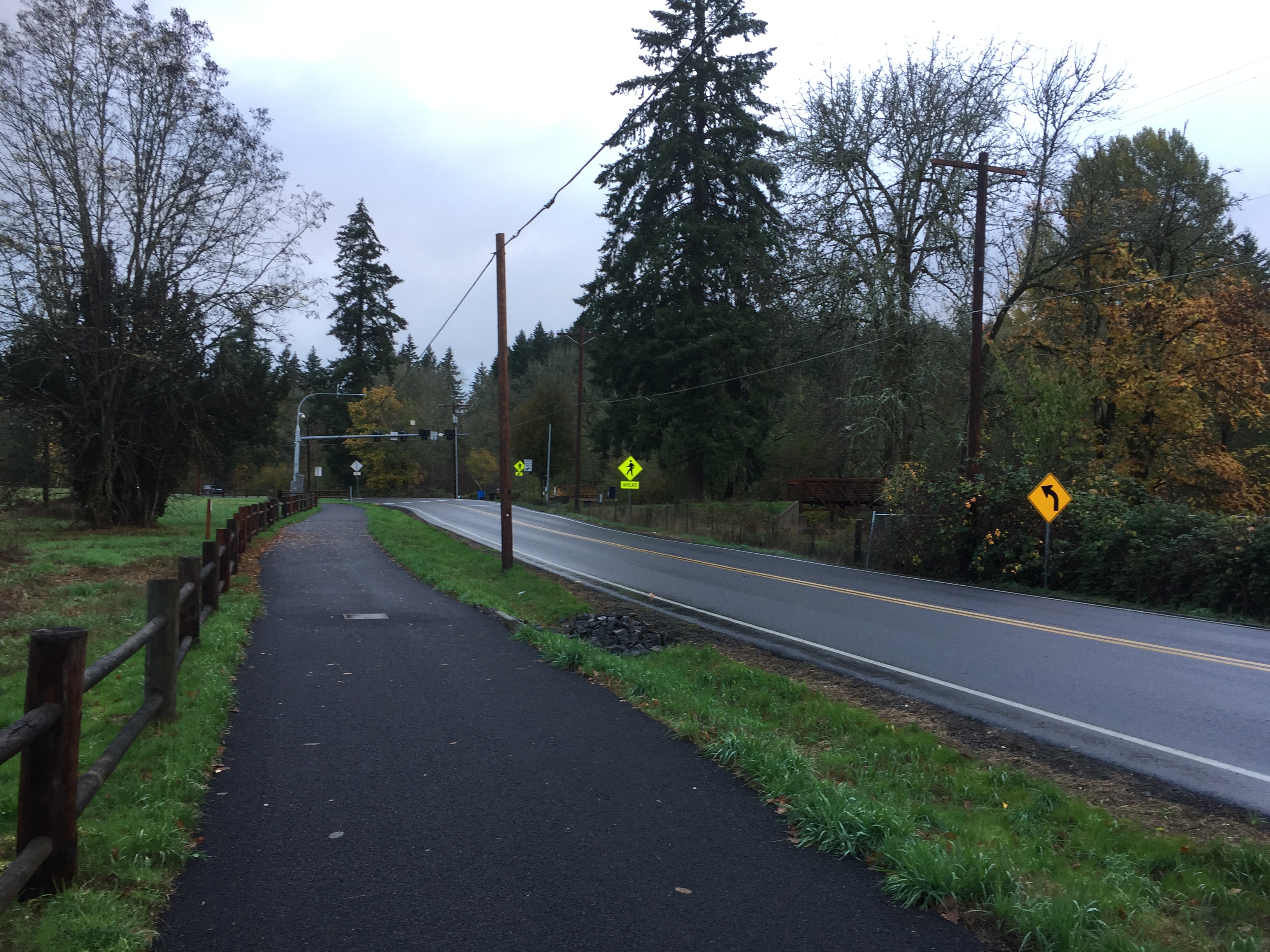
This trail from WSU to Pleasant Valley Community Park crosses Salmon Creek Ave.
Orchards Highlands Neighborhood Park is accessible from Conifer Dr at 112th Ave, 112th Ave between 93rd and 95th streets, the end of 113th Ave and 114th Ave south of 96th St, the end of 95th St west of 116th Ave, and at the cornier of 94th St and 115th Ave.
Picking any access point, you can have a nice short forested walk through the park.
Orchards Community Park is a great neighborhood park for a forested walk, with a combination of paved and dirt paths. The main parking for the park is on NE 54th St. There are a few spaces for parking on NE 58th St and some street parking on NE 102nd Ave. I recommend parking on 54th.
Walking the perimeter trails of the park can take you just short of a mile. You can criss cross through other trails for a longer walk.
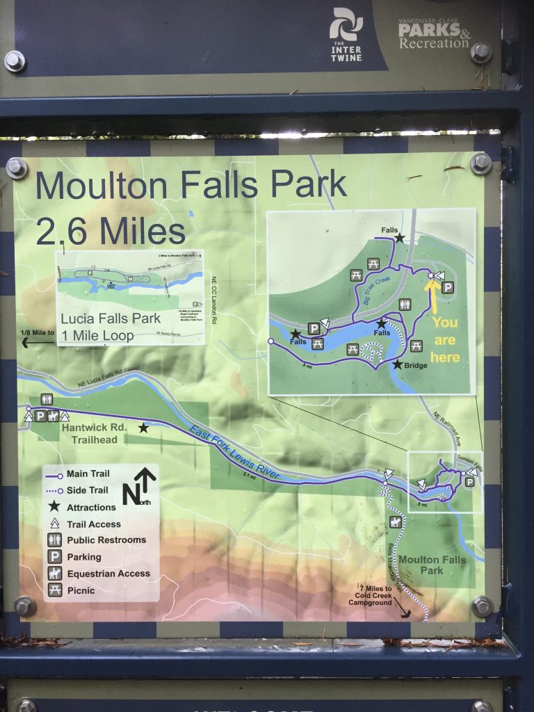
Moulton Falls Regional Park includes river access to the East Fork Lewis River, a popular swimming hole, several dirt trails to explore and connections to the Hantwick Rd Trail and Bells Mountain Trail.
Moulton Falls Park
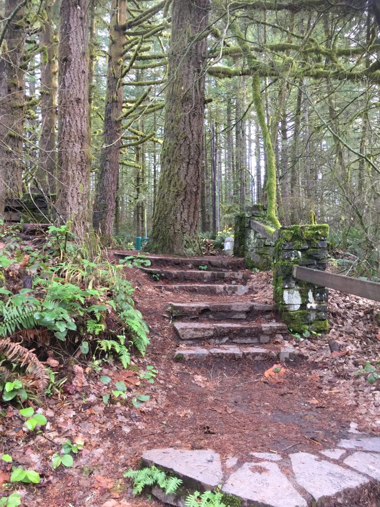
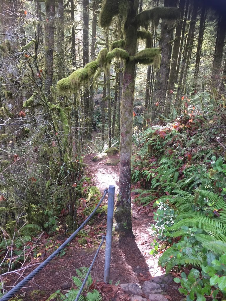
Some trails at Moulton Falls Park include stone steps.
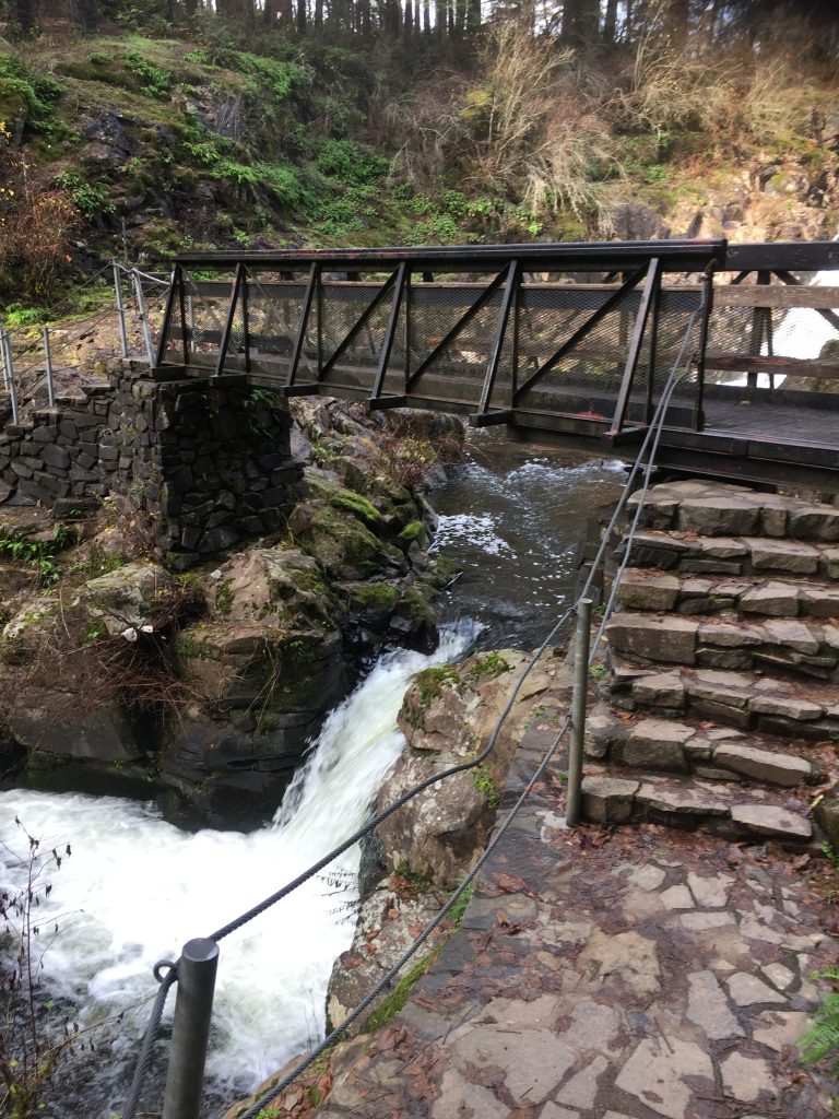
Bridge over Big Tree Creek at Yacolt Falls.
Yacolt Falls at Moulton Falls Regional Park
A Trail at Yacolt Falls at Moulton Falls Regional Park
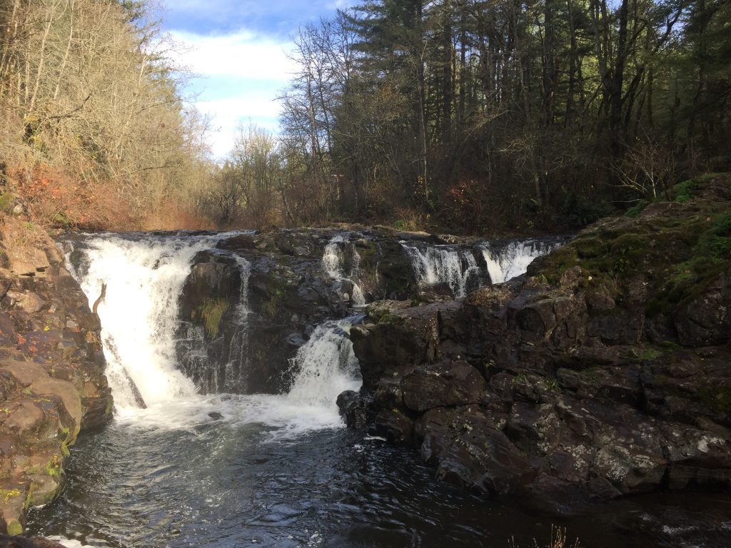
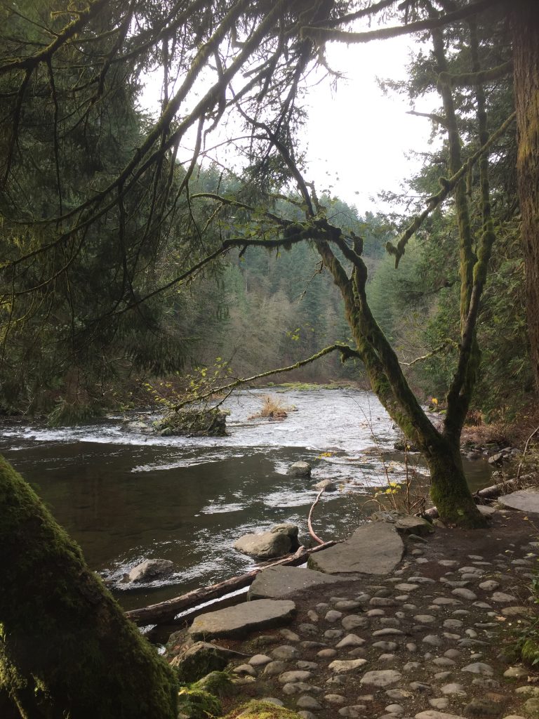
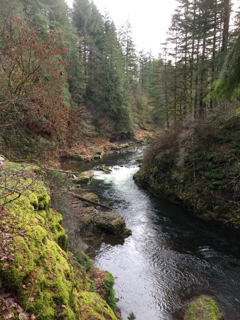
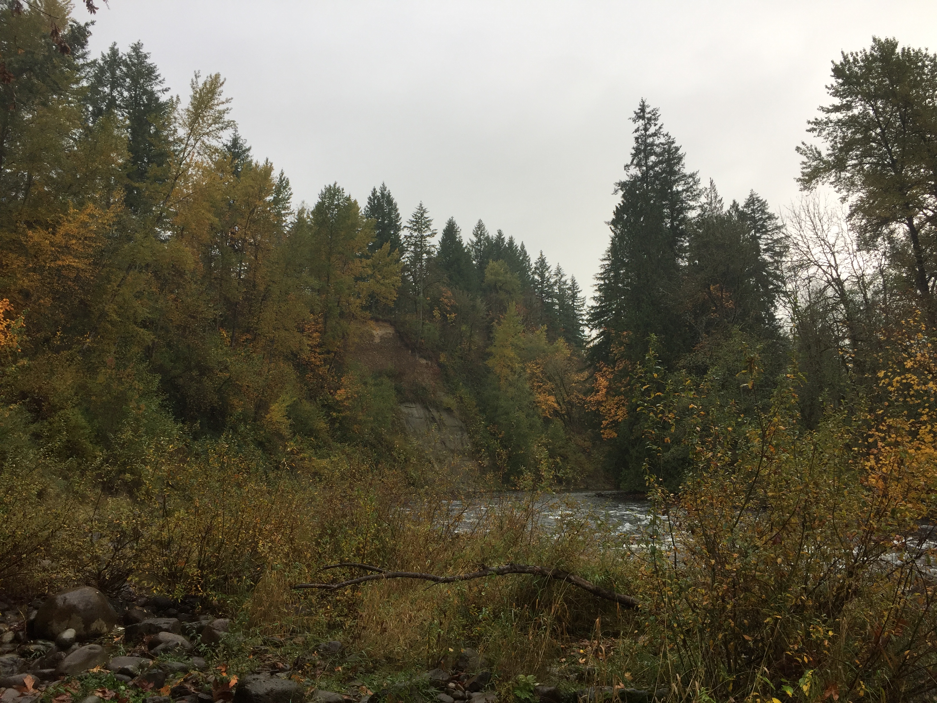
East Fork Lewis River at Moulton Falls Regional Park
East Fork Lewis River at Moulton Falls Regional Park
East Fork Lewis River at Moulton Falls Regional Park
A trail up the East Fork Lewis River at Moulton Falls Regional Park
East Fork Lewis River at Moulton Falls Regional Park
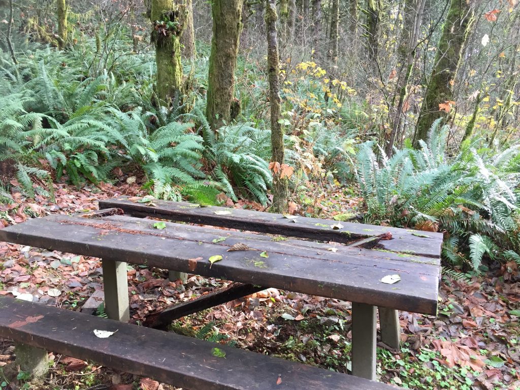
Moulton Falls Regional Park includes many picnic tables. A few need repairs.
The park has several wide heavily used trails, plus many side trails.
Here is a suggestion for a nice loop hike.
Start at the upper parking lot next to Sunset Falls Rd (which is usually less crowded than the lower parking lot).
Take the trail to the right of the park map, to cross Lucia Falls Rd to Yacolt Falls on Big Tree Creek (use the crosswalk, and beware of fast moving traffic).
Cross the bridge over Big Tree Creek, and enjoy the view of Yacolt Falls. The bridge, curiously, was made from a naval ship’s gun turret and will be swung open during flood season so that logs coming down the creek do not hit it.
Turn left to take the trail down Big Tree Creek to where you will cross Lucia Falls Rd.
After crossing the road at the crosswalk, turn left to take the pedestrian bridge across the creek. Follow that trail along the East Fork Lewis River to a trail up the hill.
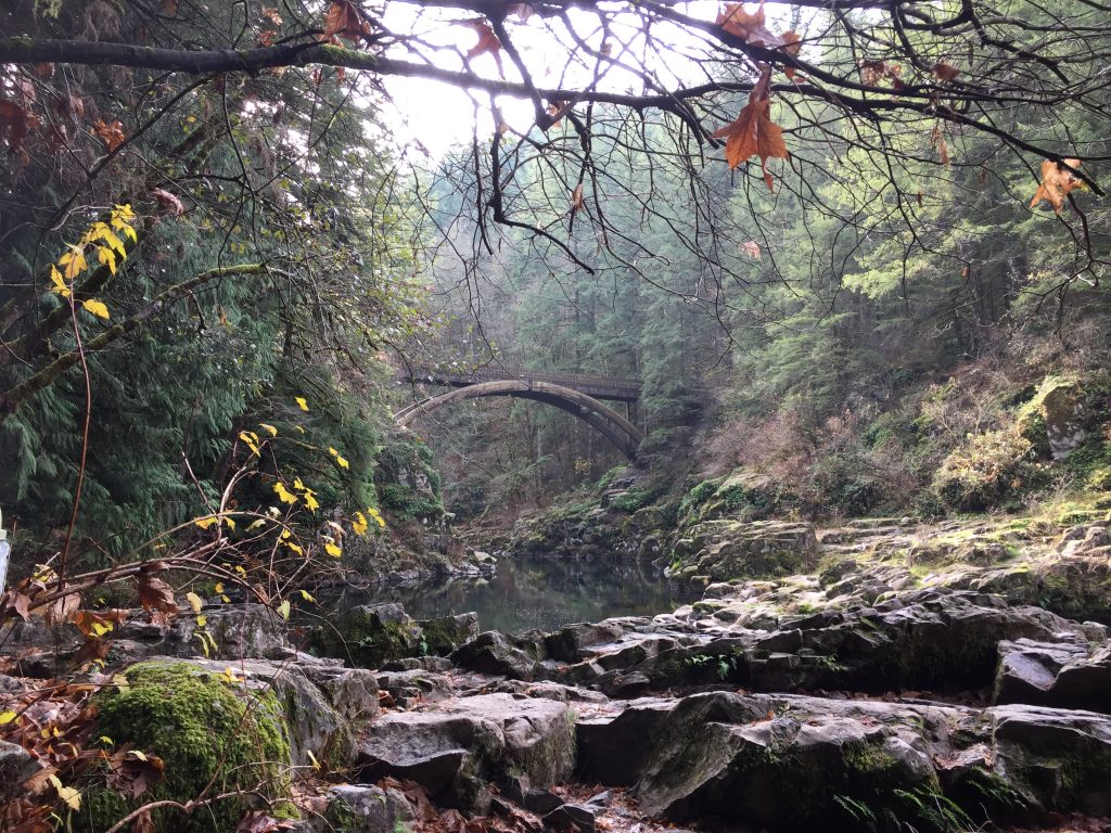
You can then take the trail to the arch bridge. At the bridge, you can turn back, or you can continue on to follow other trails. a) Turn left at the far side of the bridge to follow a rough trail up river a short distance to view another waterfall (about .4 mile). b) Continue straight and follow the main trail to Hantwick Rd. (2-1/2 miles) c) Continue along the main trail and then turn left onto the Bells Mountain Trail (.4 mile beyond the bridge, 8.7 mile long Bells Mountain Trail connects to numerous other trails and logging roads.)
Turning back at the bridge, you can either continue up the main trail back to the parking lot, or you can turn right, and then left for a side trail the then reconnects with the main trail to the parking lot. This loop without the side trips will be about about 2/3rds of a mile.
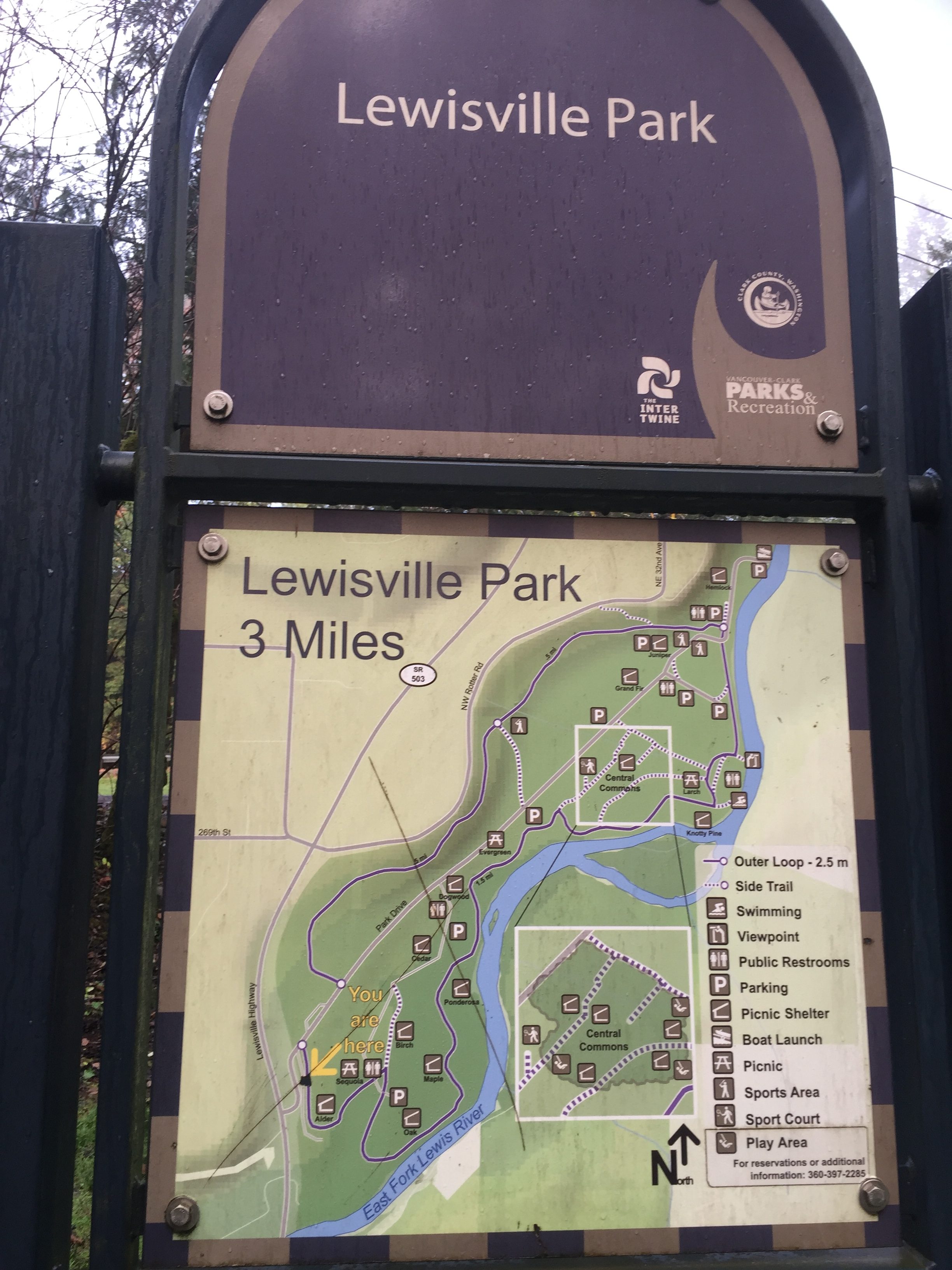
Lewisville Regional Park includes a 3 mile loop trail. The trail is well maintained, with no muddy sections in wet weather. It is mostly pea gravel, but parts of it are paved or dirt. Beyond the main loop, three are additional paths that could be followed.
Parking in the park is $3 between May 1 and September 30 (if there is a busy park event), but many people park near the park entrance where there is free parallel parking on the side of the entry road. This space will often fill up, so be prepared to just pay the $3 and find an open space inside the park. There are a couple trails that connect to Potter Rd north of the park, but if you choose that option, be very considerate of the neighbors so that you do not park in an area marked No Parking and that you do not park in a way that will interfere with their access to their property and driveways.
It is well worth paying $3 to help support the park. If you want, you can buy an annual pass.
Lewisville Regional Park includes a wide pea gravel 3 mile loop trail.
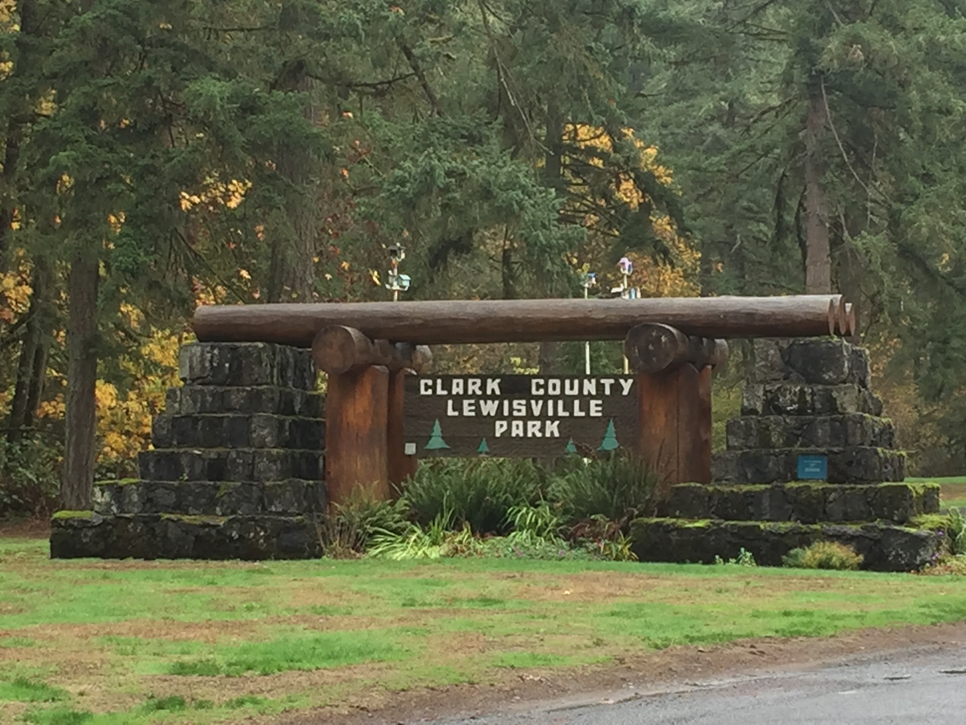
Lewisville Regional Park entrance
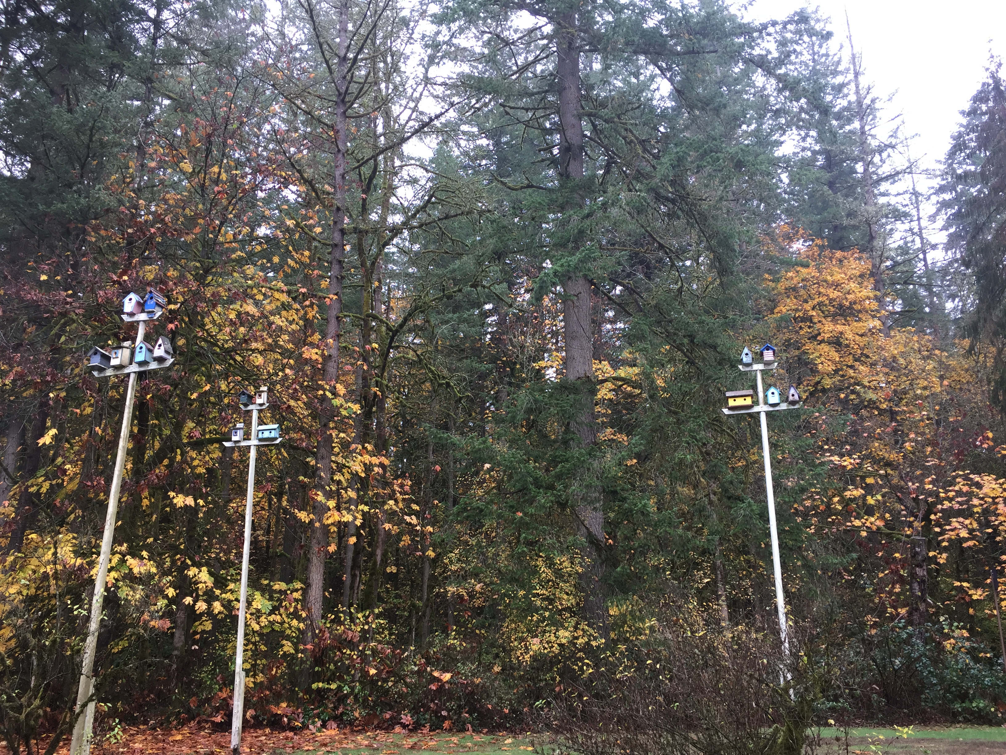
Birdhouses by the entrance of Lewisville Regional Park
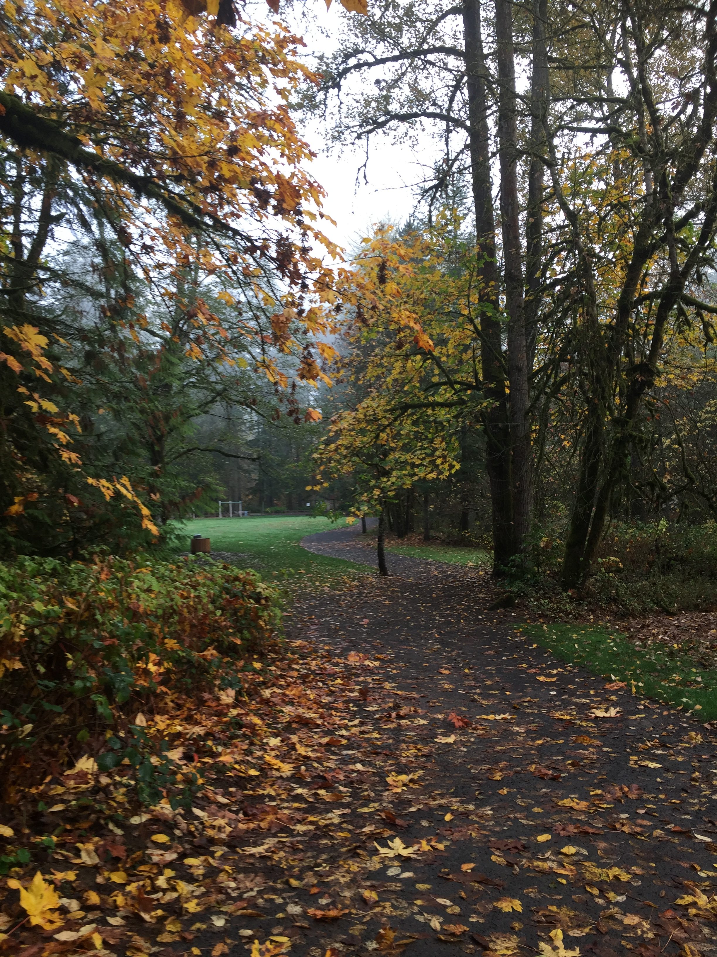
Main trail in Lewisville Regional Park
Main trail in Lewisville Regional Park
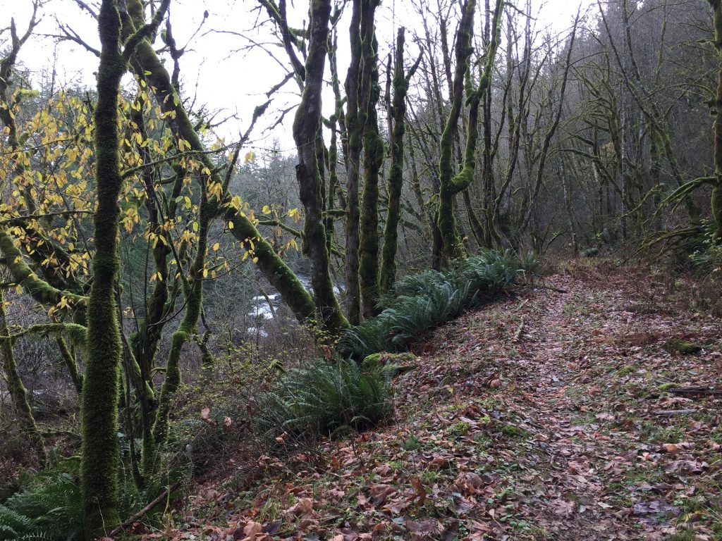
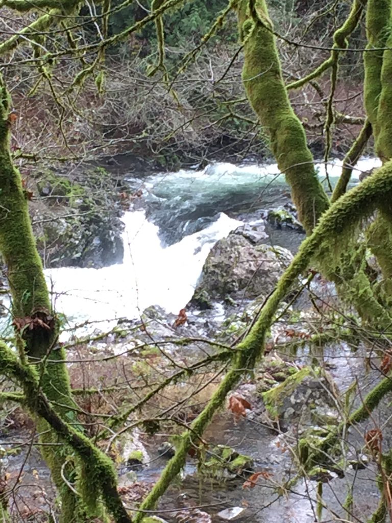
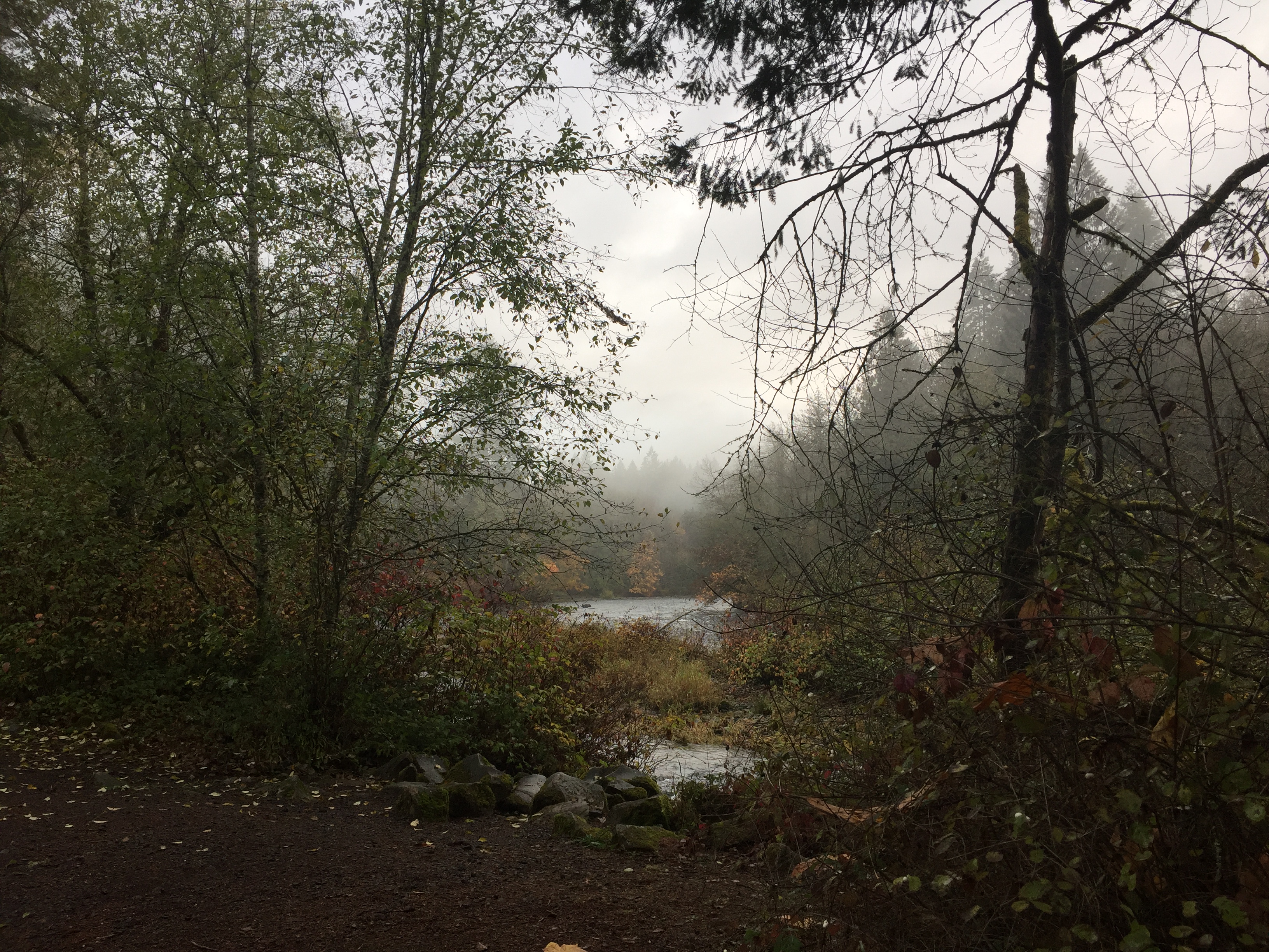
East Fork Lewis River in Lewisville Regional Park
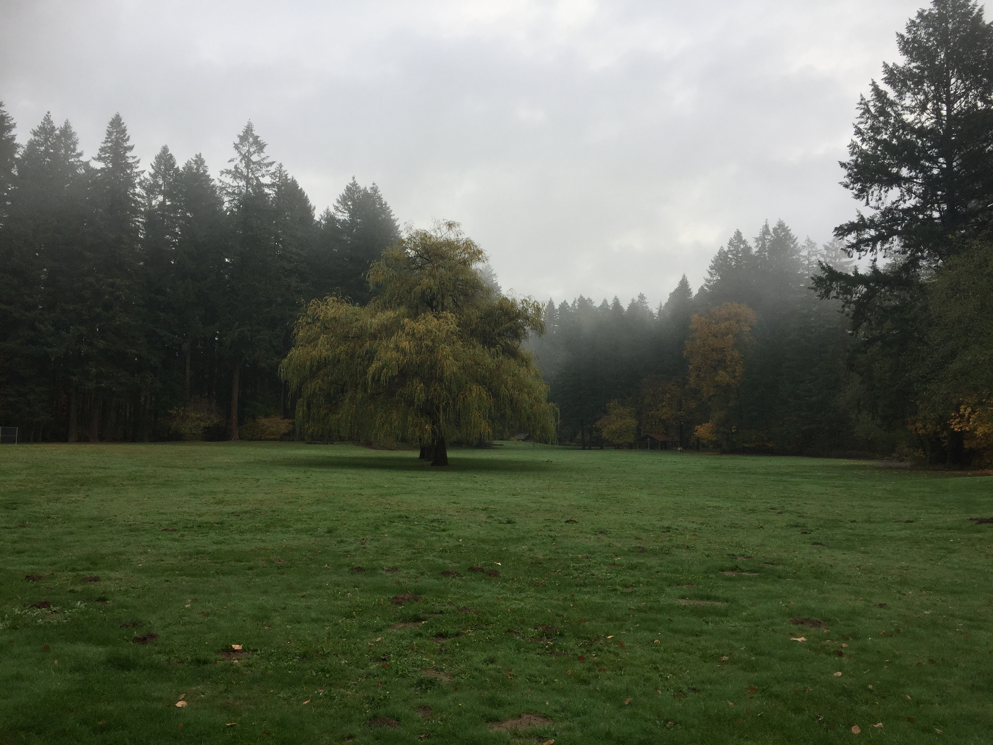
Open field in Lewisville Regional Park
The farthest upriver end of Lewisville Regional Park
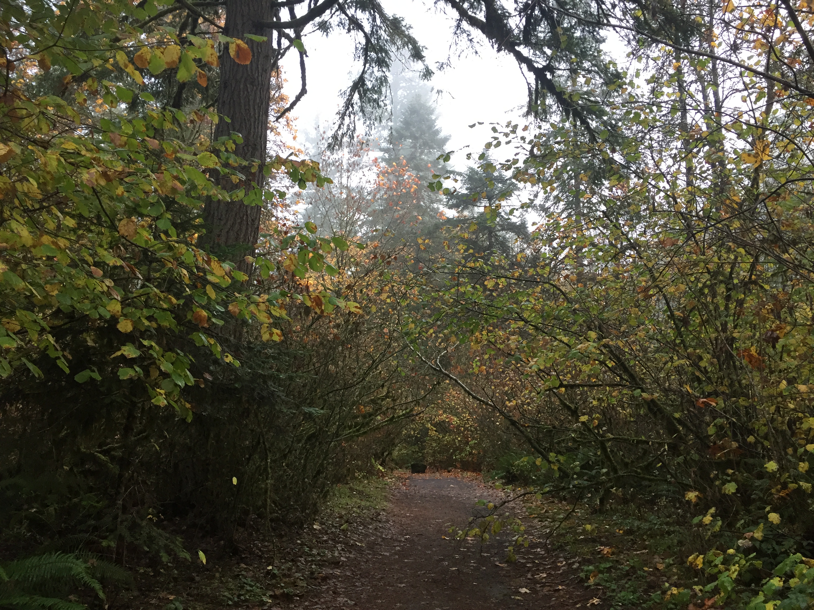
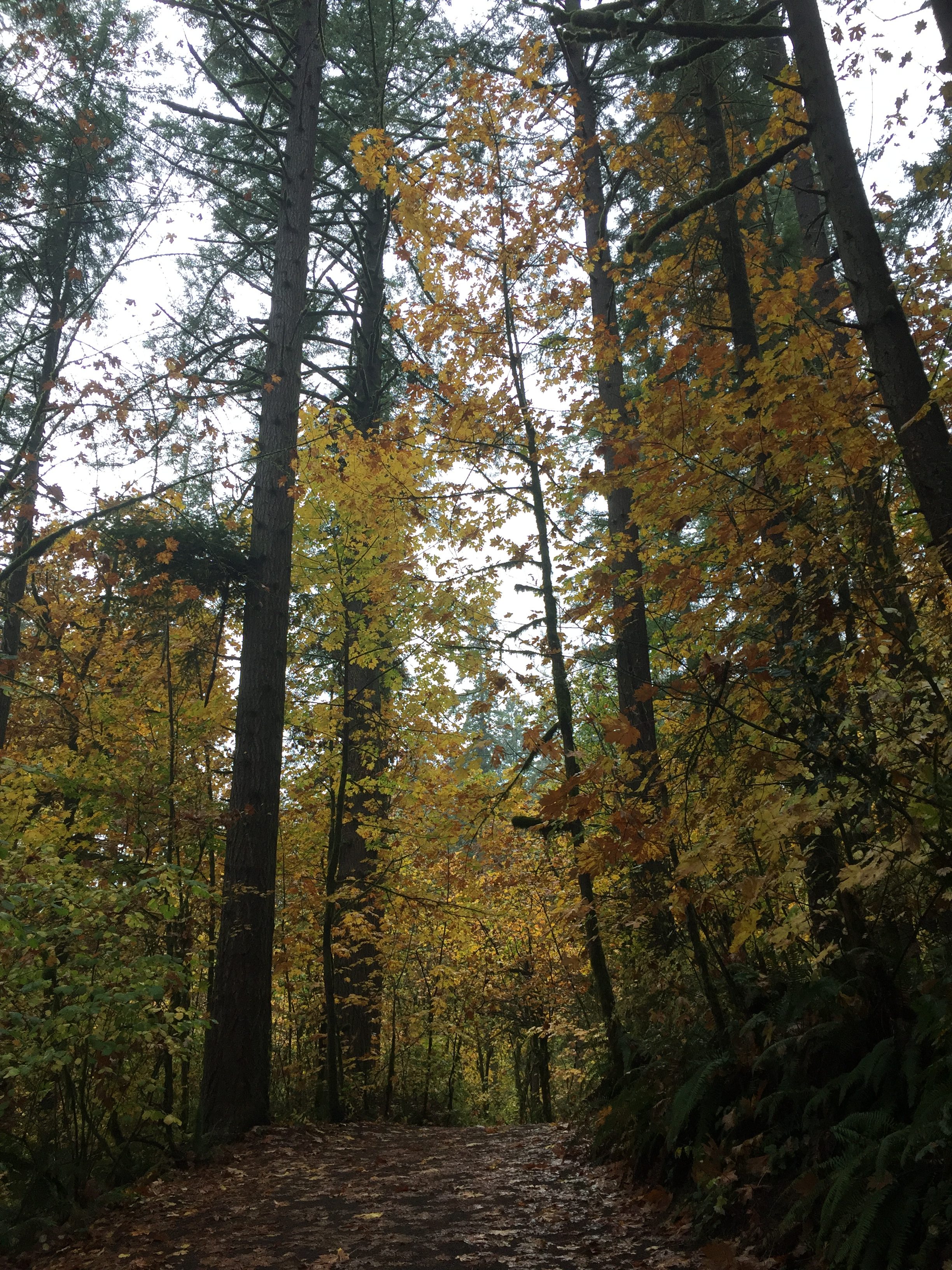
Forest trail in Lewisville Regional Park
Panorama of the East Fork Lewis River in Lewisville Regional Park
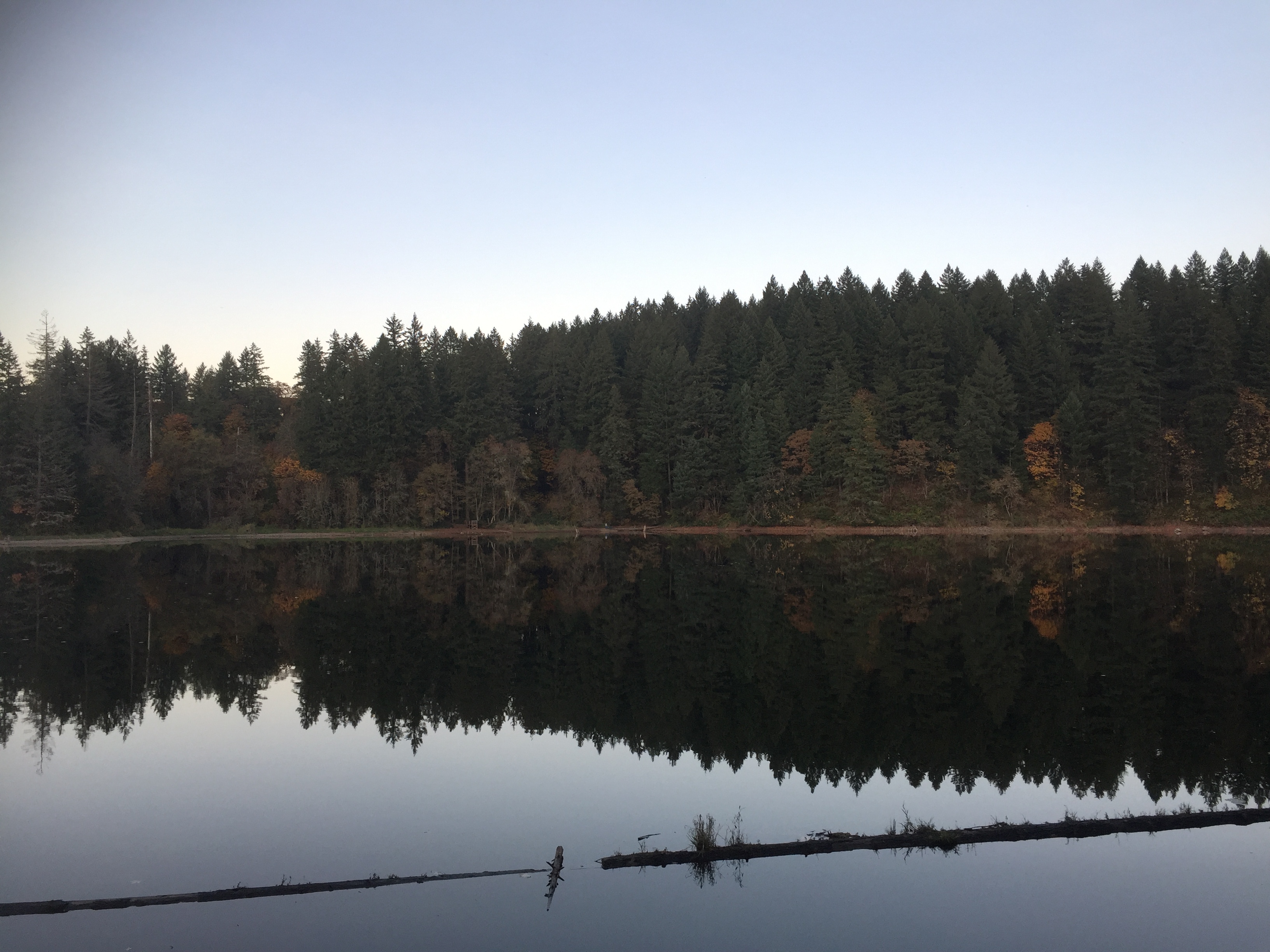
Lacamas Lake Regional Park includes nearly 13 miles of trails. There is a loop trail around Round Lake, and trails down Lacamas Creek. The trails here are pretty thoroughly mapped in Google Maps, and in the TrailForks App.
There has been a lot of new construction happening on the north side of the park, making the hike a little less peaceful, and potentially changing some of the trail connections.
Overall this is a great area to explore, with lots of new trails to find on each trip, and some interesting creek side views.
A short distance to the west on Lake Road is the Lacamas Lake Lodge, Lacamas Lake Park, boat launch and Heritage Trail trailhead.
A short trip down Everett Street takes you to Fallen Leaf Lake Park.
Foot bridge at Lacamas Lake Regional Park
Round Lake at Lacamas Lake Regional Park
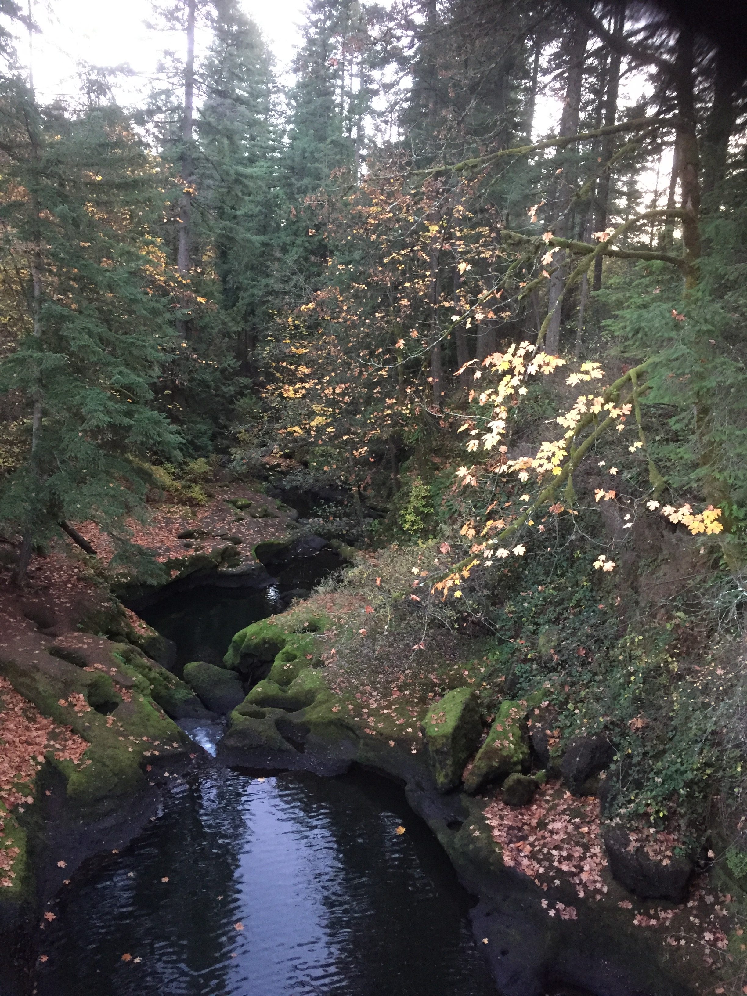
Lacamas Creek
The Dam on Round Lake at Lacamas Creek
The Dam on Round Lake at Lacamas Creek
Lacamas Lake Regional Park Trailhead
Round Lake
Here are several options for hikes.
Walk around Round Lake. Note that going around the north end of Round Lake requires walking along 35th Ave and a small portion of Everett St. Total about 1.3 miles.
From the Trailhead at Round Lake to the Lacamas Creek Falls and Creek Bridge, is about 1 mile, 2 miles round trip.
From the Trailhead on 3rd Ave to the Falls and Bridge is about .6 mile.