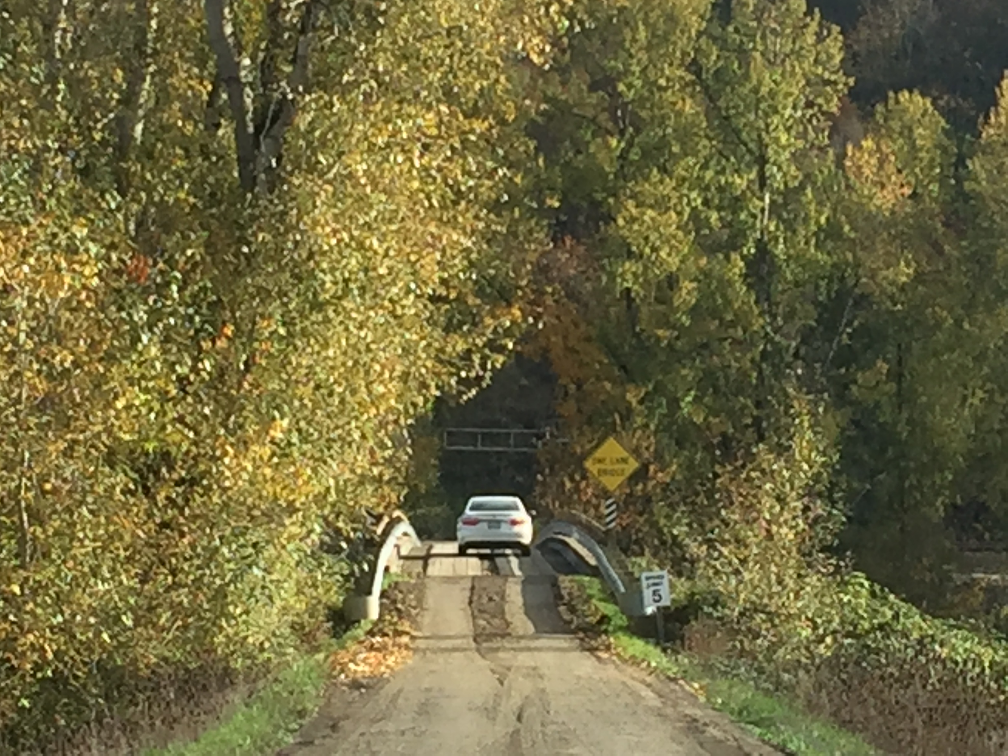
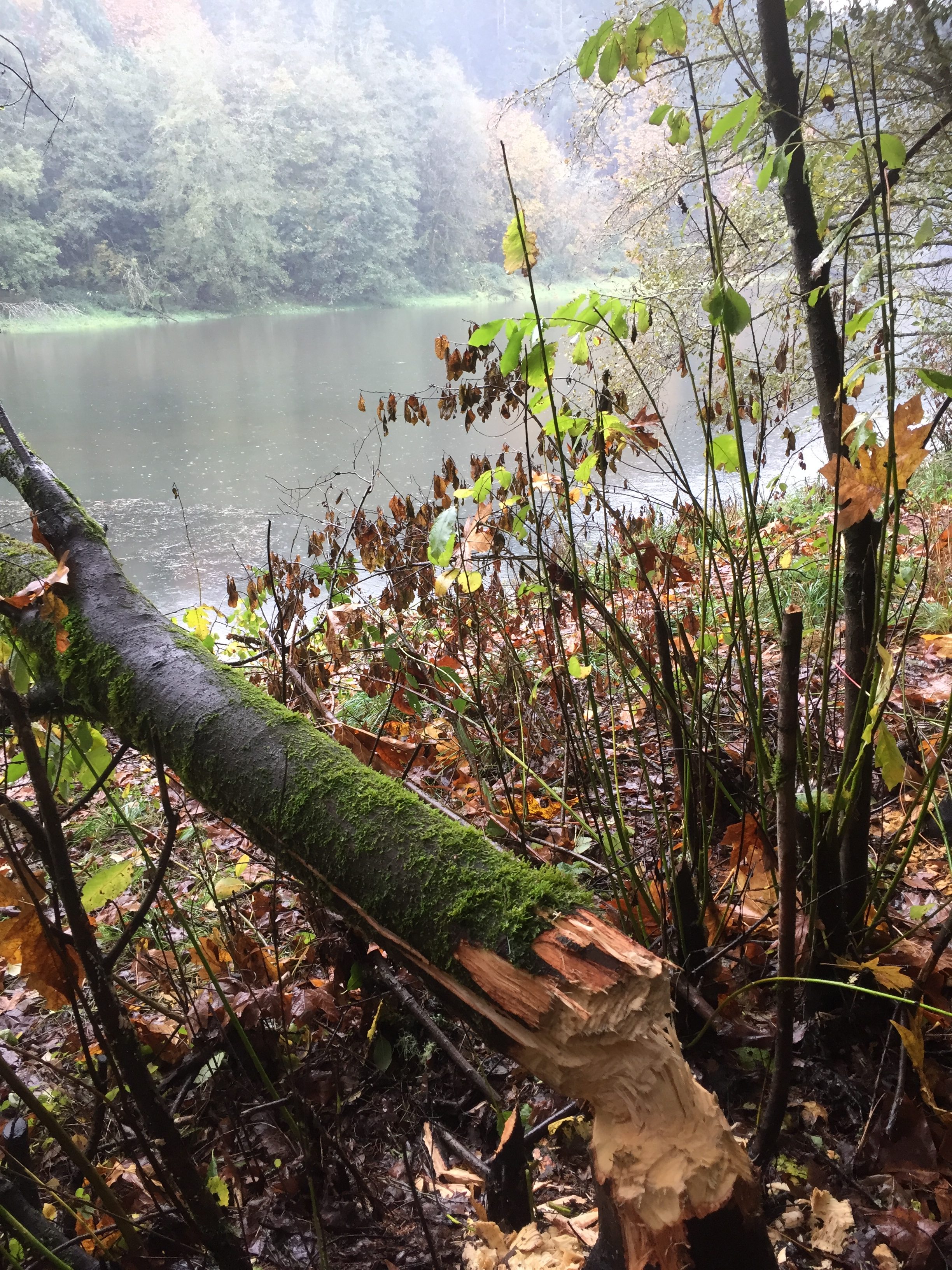
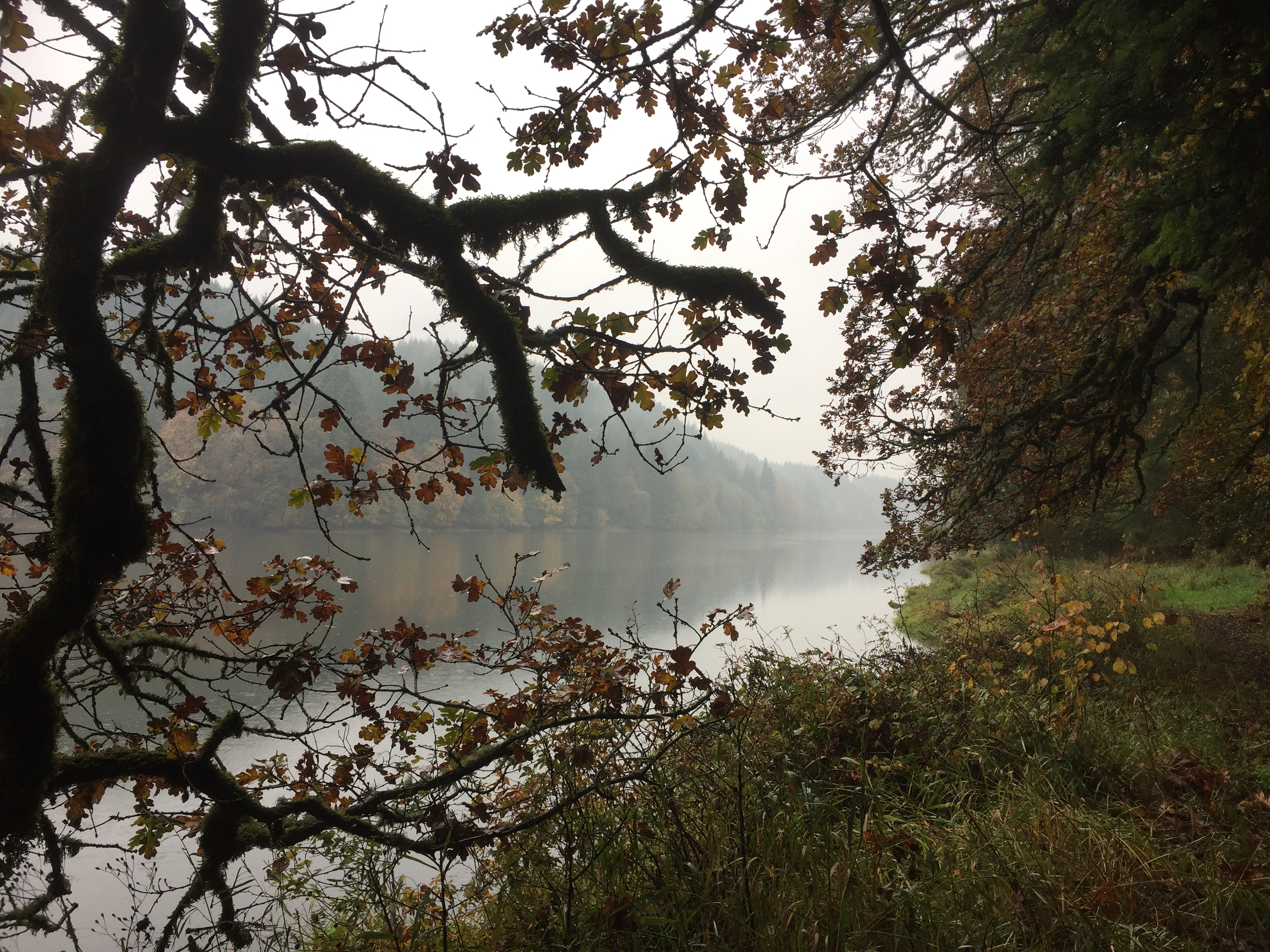
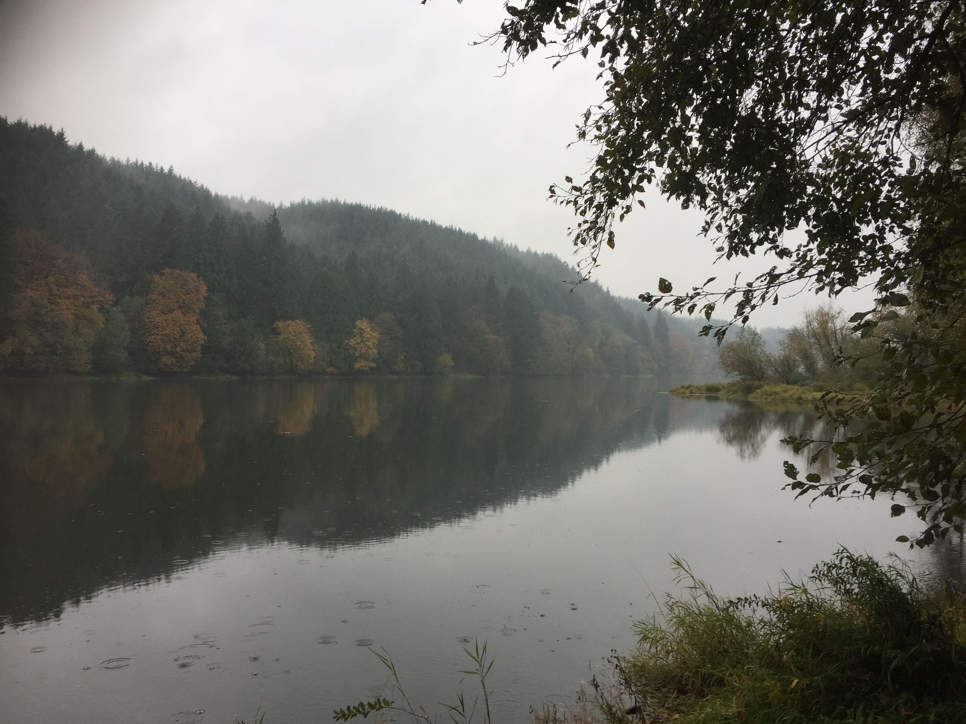
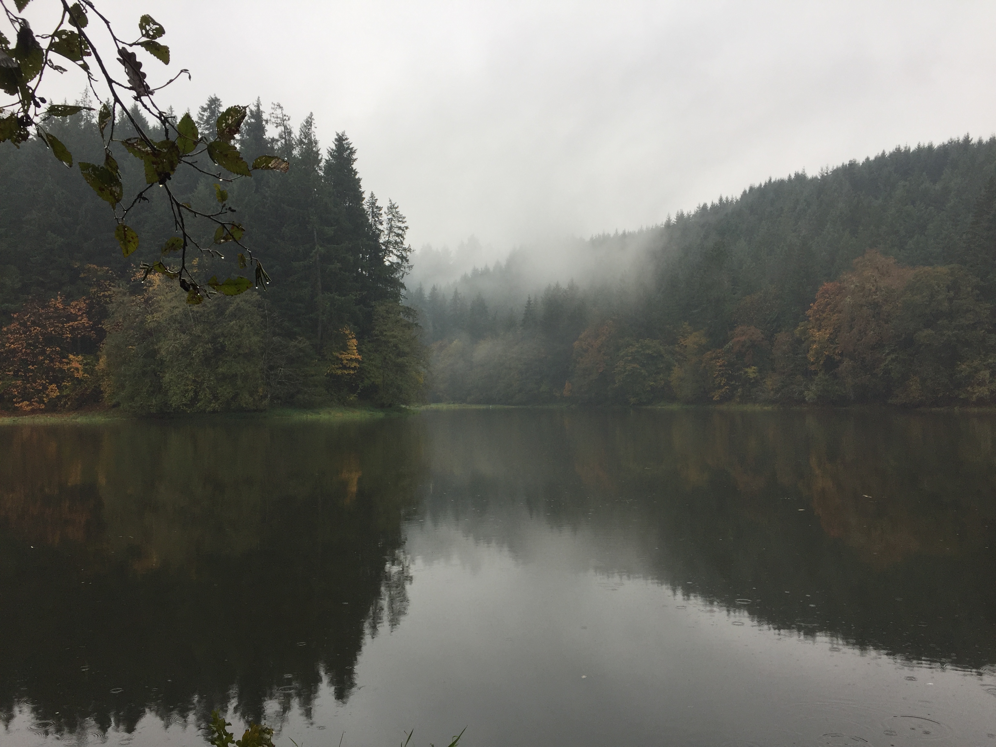
La Center sits on the East Fork Lewis River. The wide bottom lands of the river runs several miles and large areas of the land along the river are in public ownership. This allows for many miles of trails to explore, though it is not all connected.
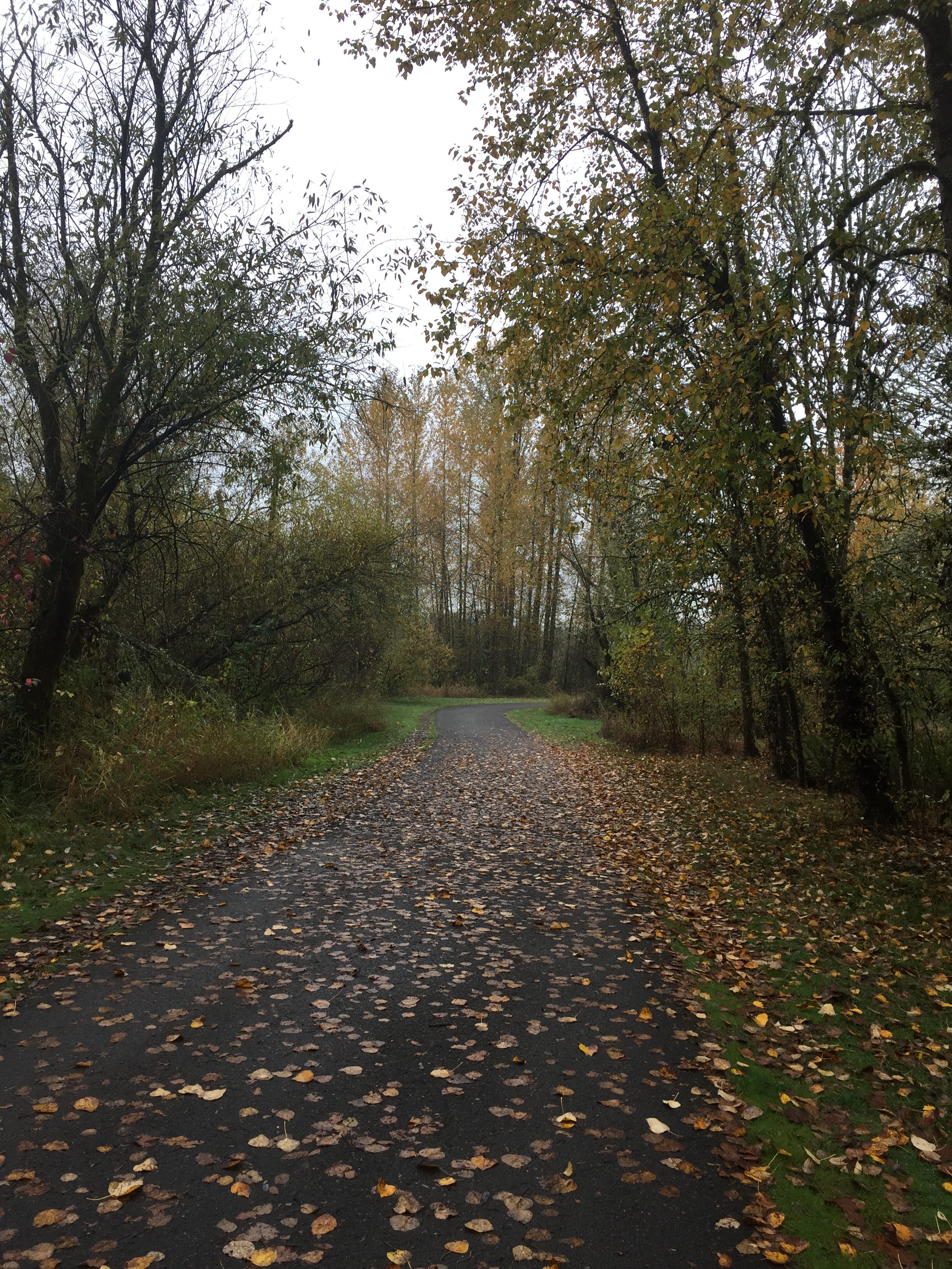
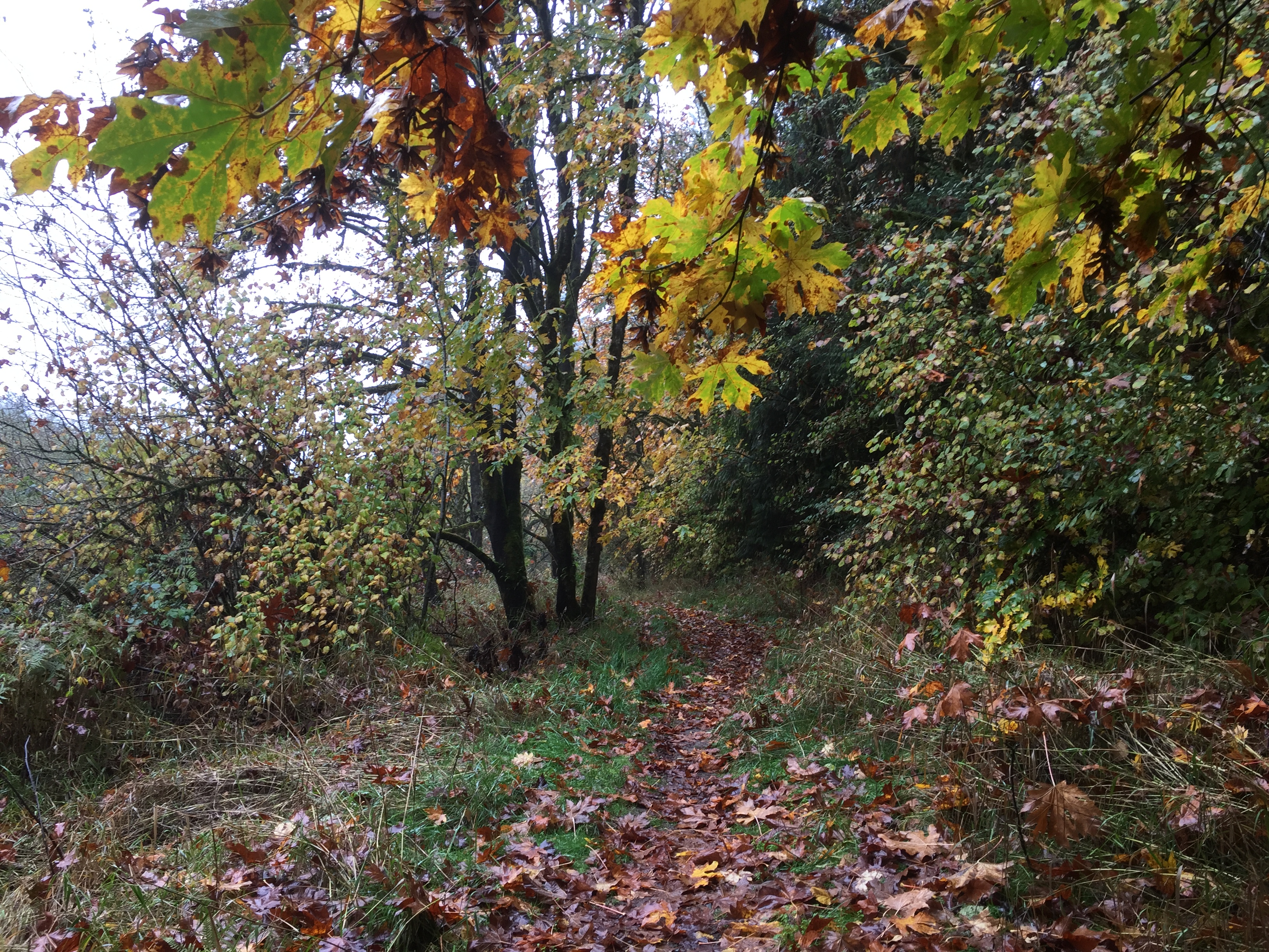
At La Center, the trail along the East Fork Lewis River that starts at Sternwheeler Park takes you just short of a mile up river. Side trails allow you to explore Brazee Creek and to walk along the north side of the bottom lands.
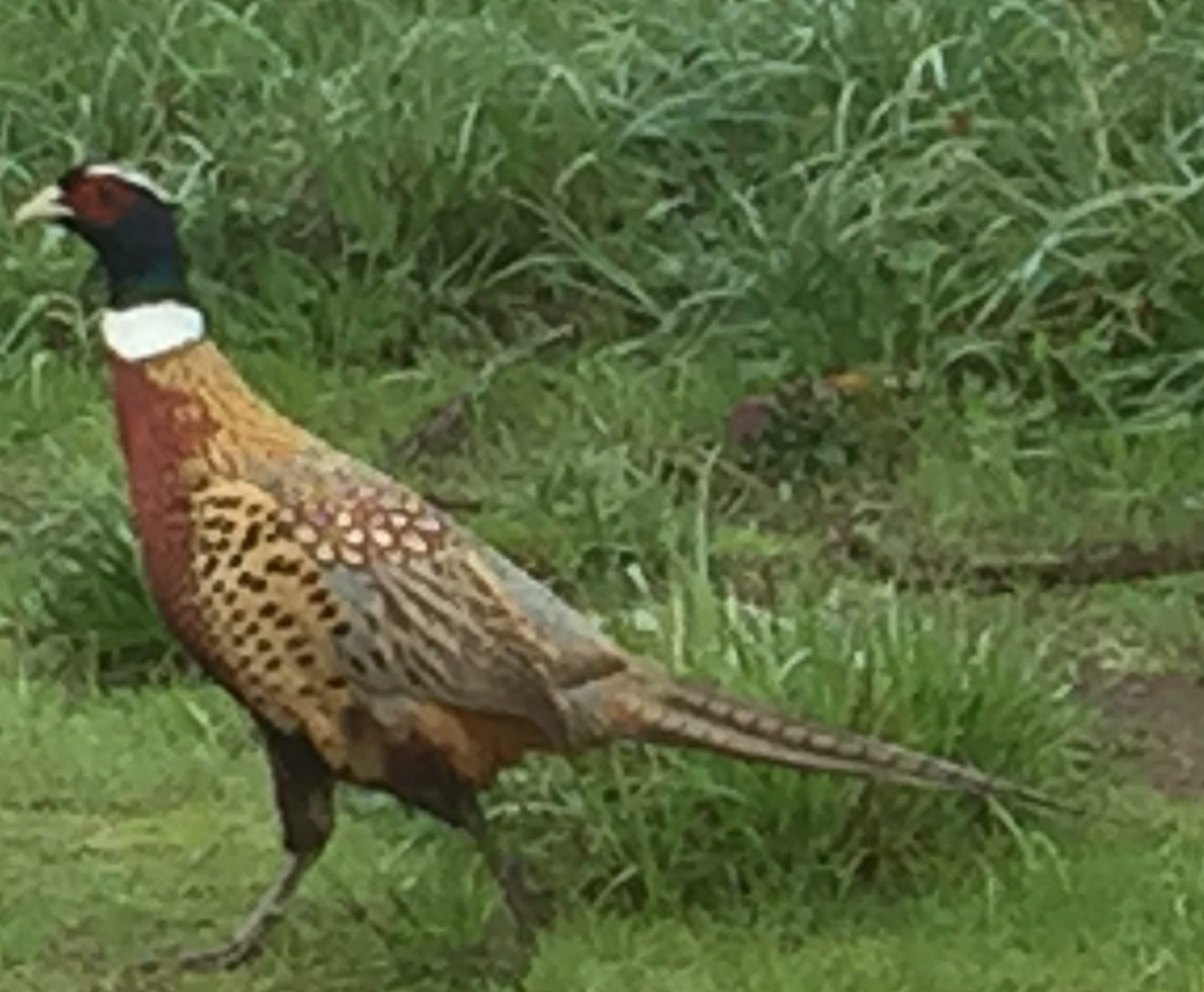
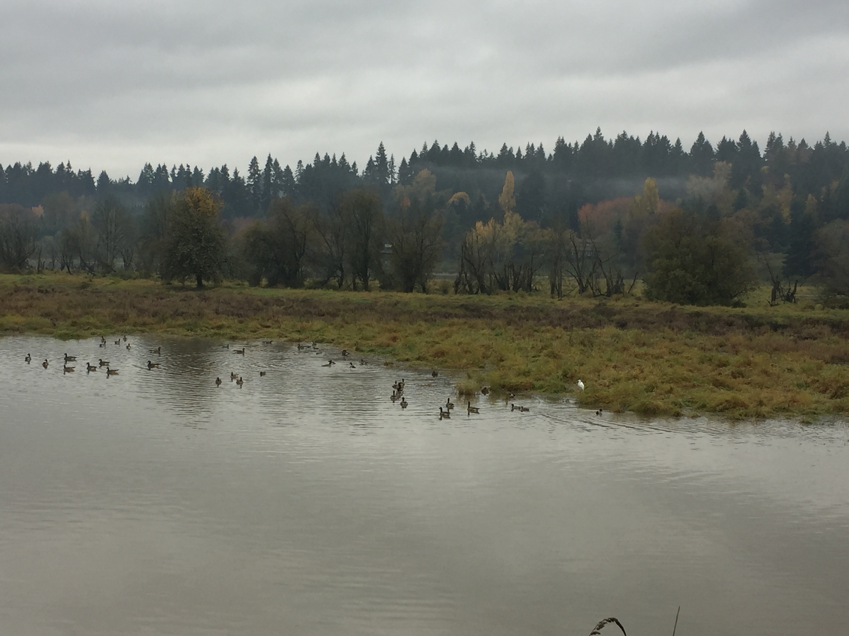
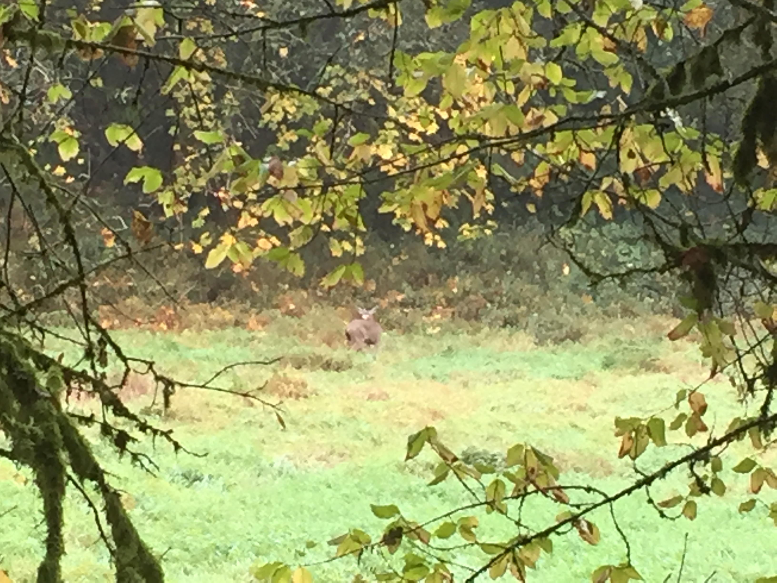
On the south side of the river, you can explore trails in the west La Center bottom lands. During the right season, this is a good area to observe more waterfowl, including a large flock of swans who winter there. While the trail to the west is clear for less than half a mile, it does open interesting areas to explore.
-
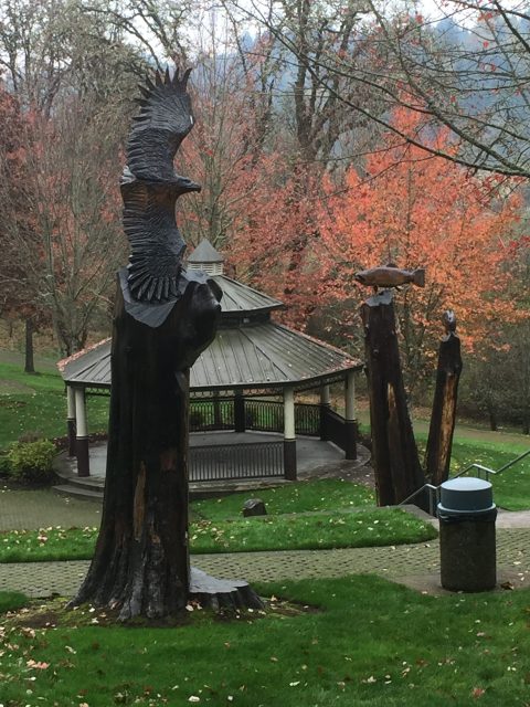
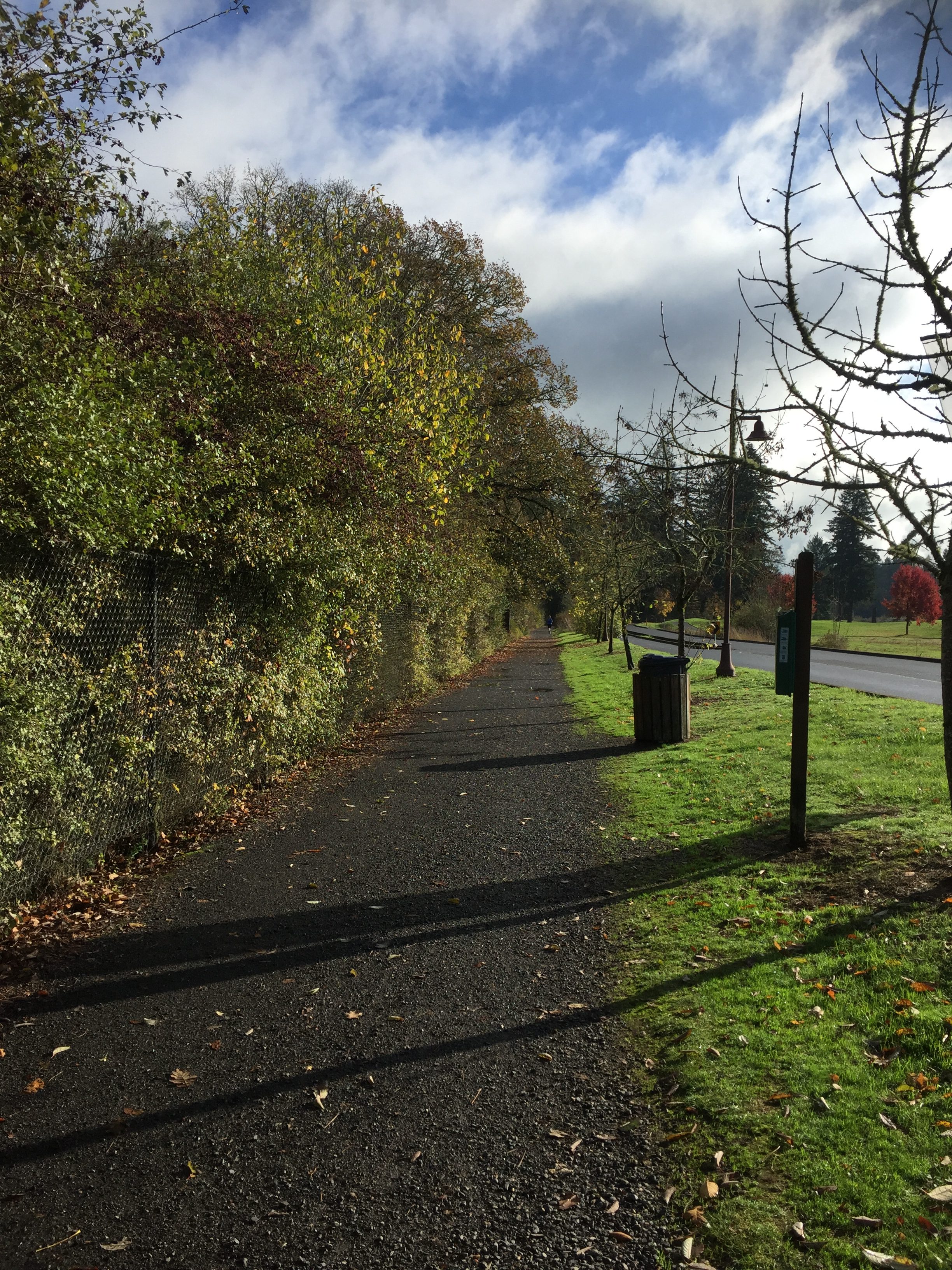
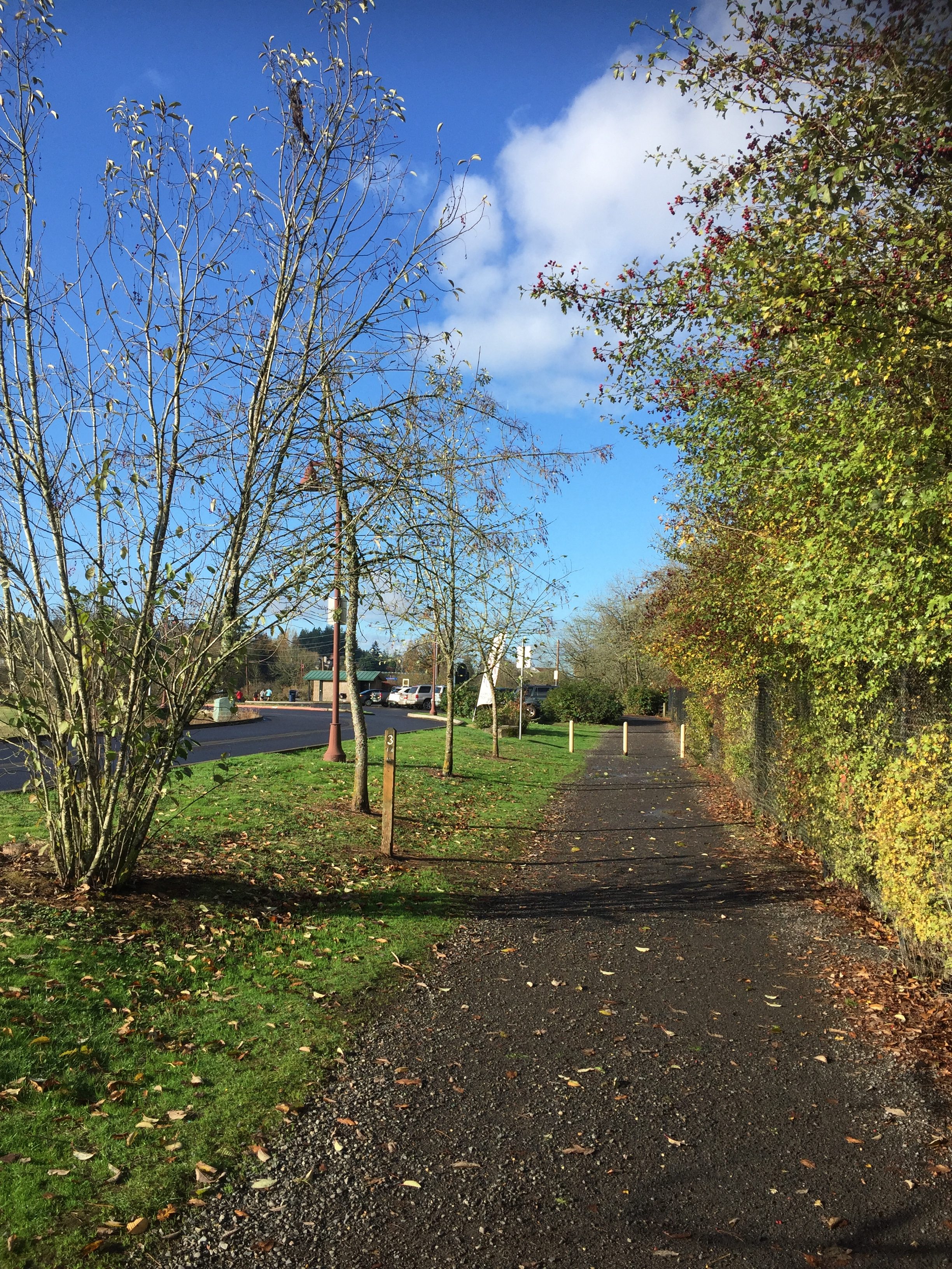
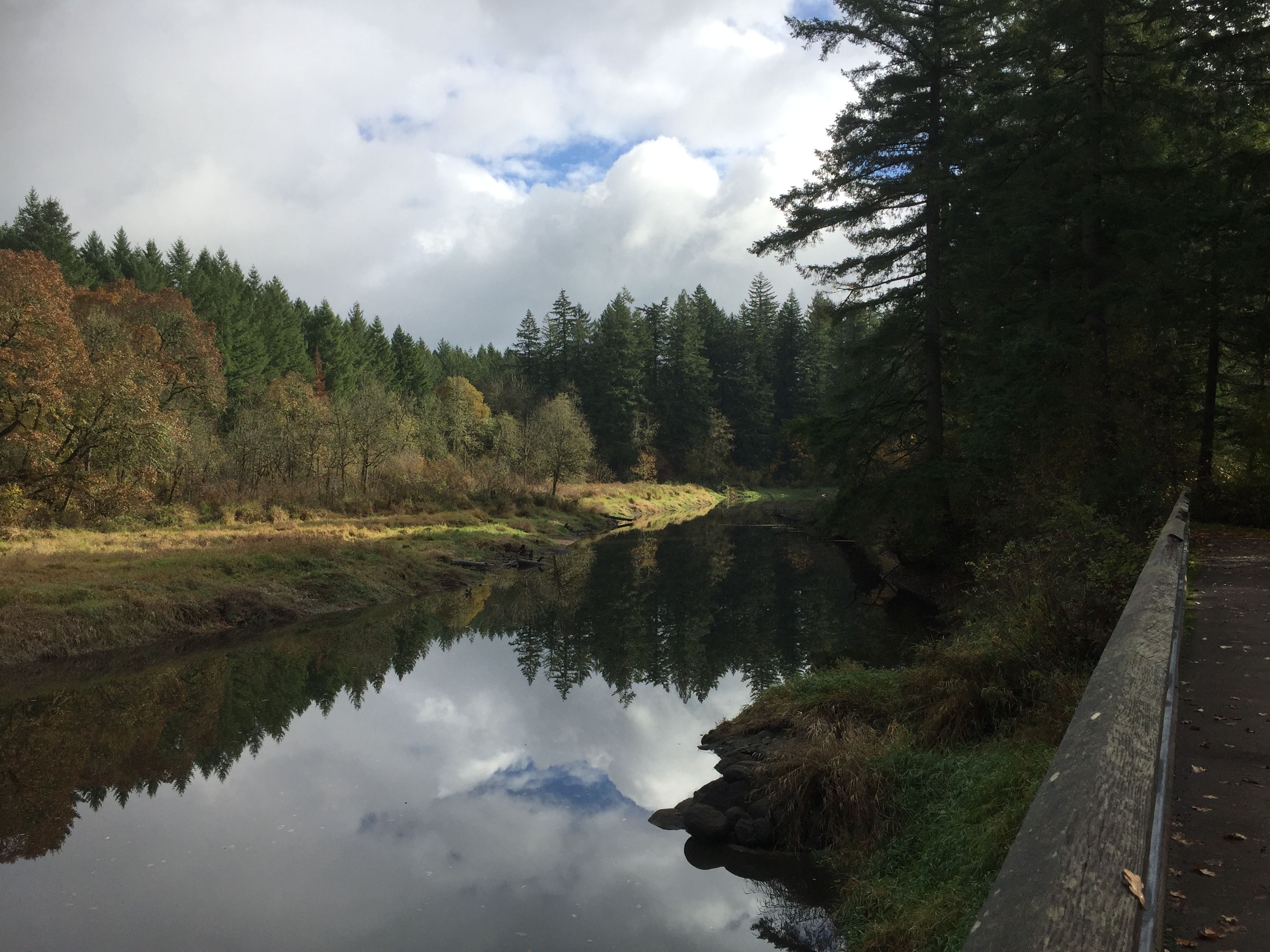
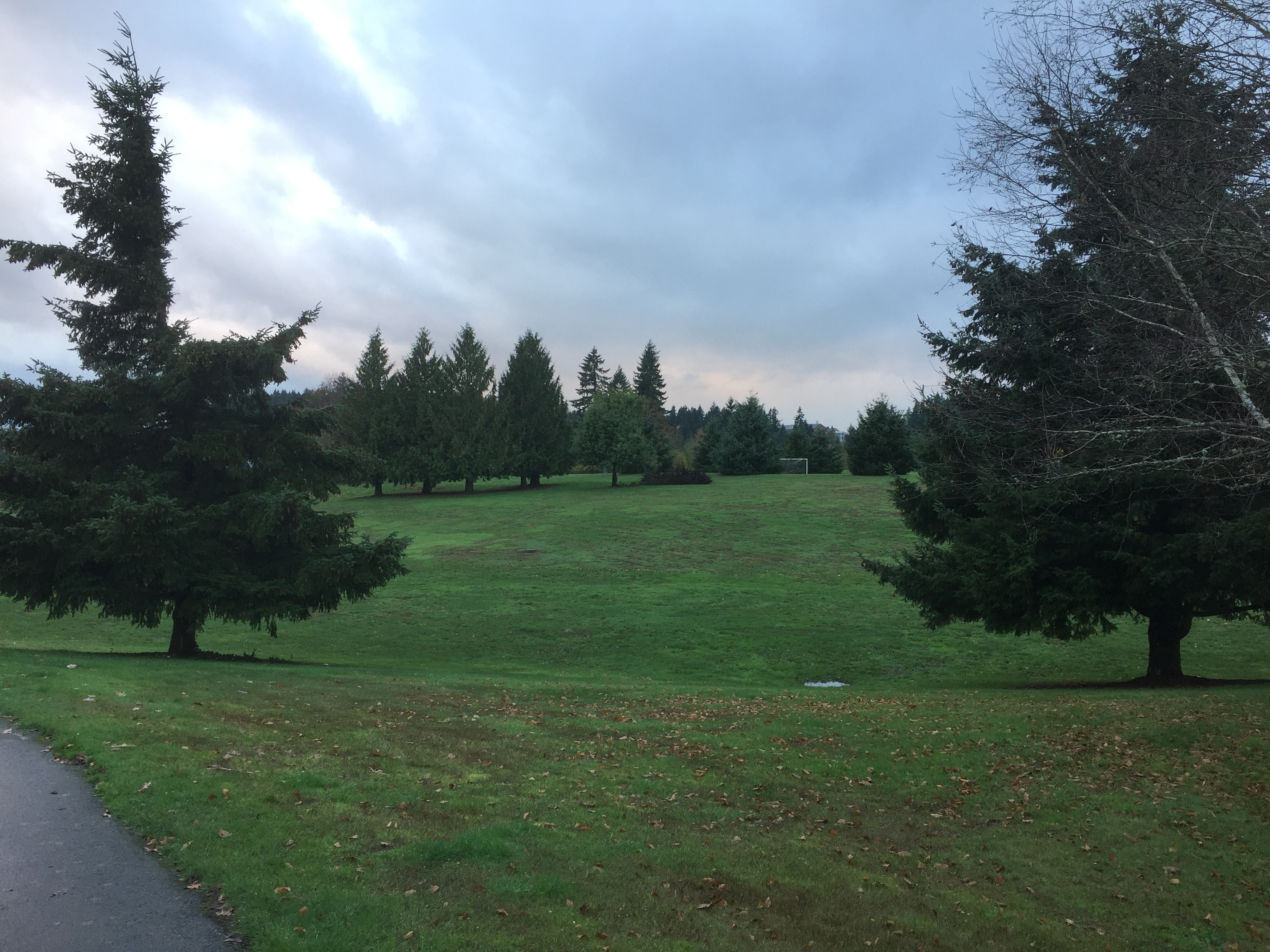
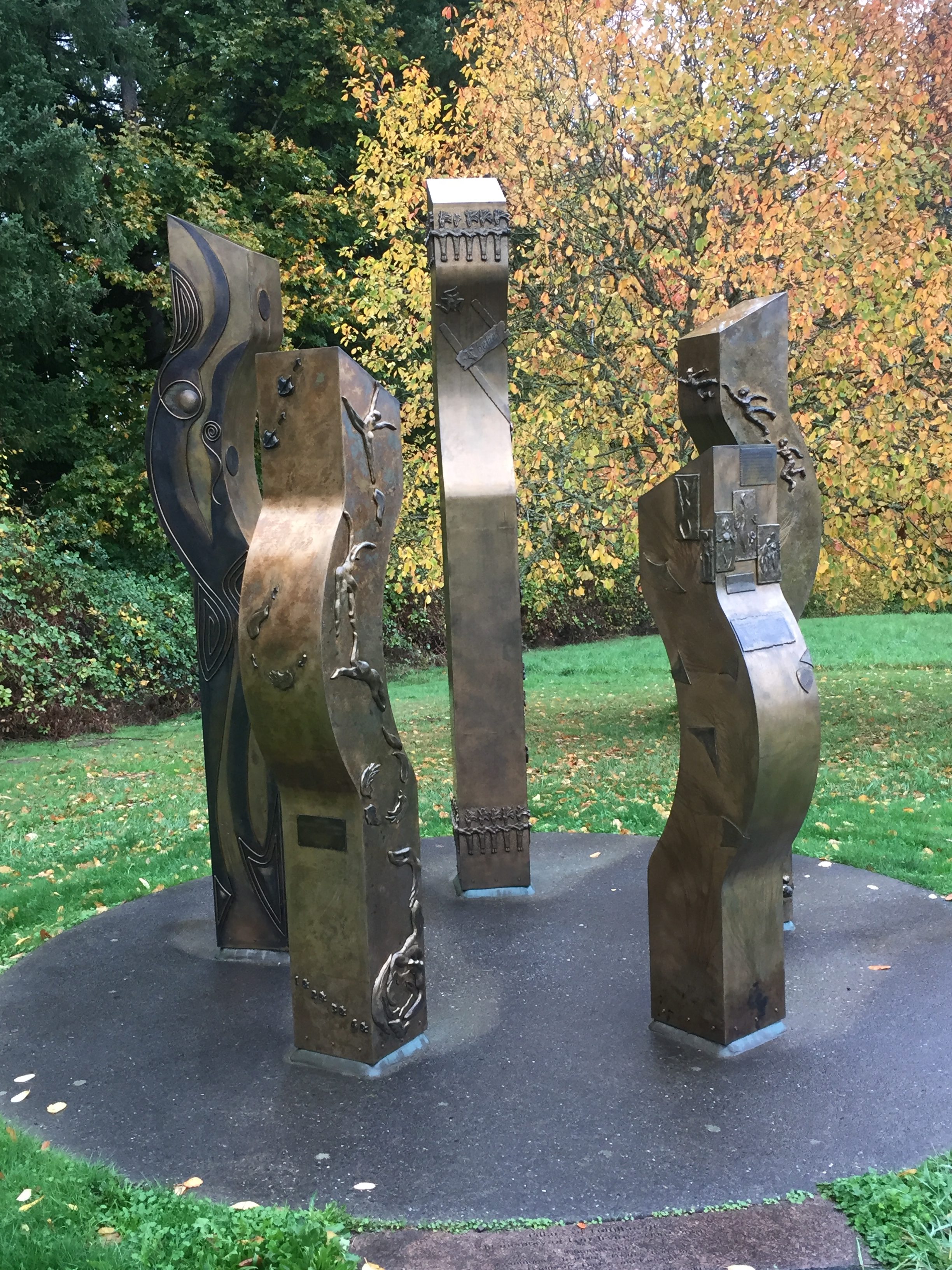
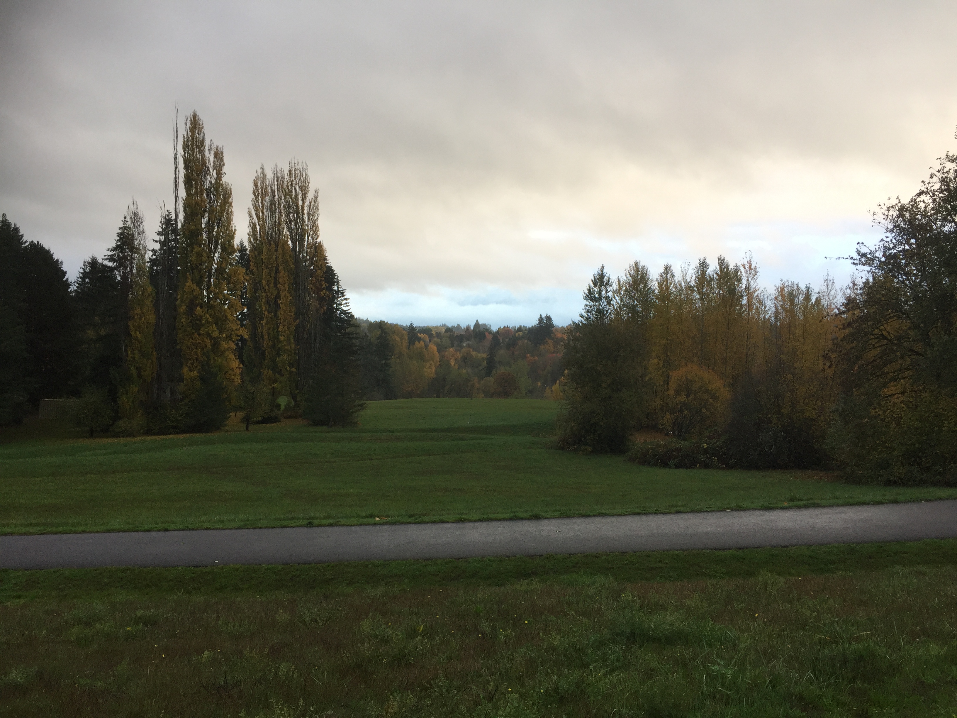
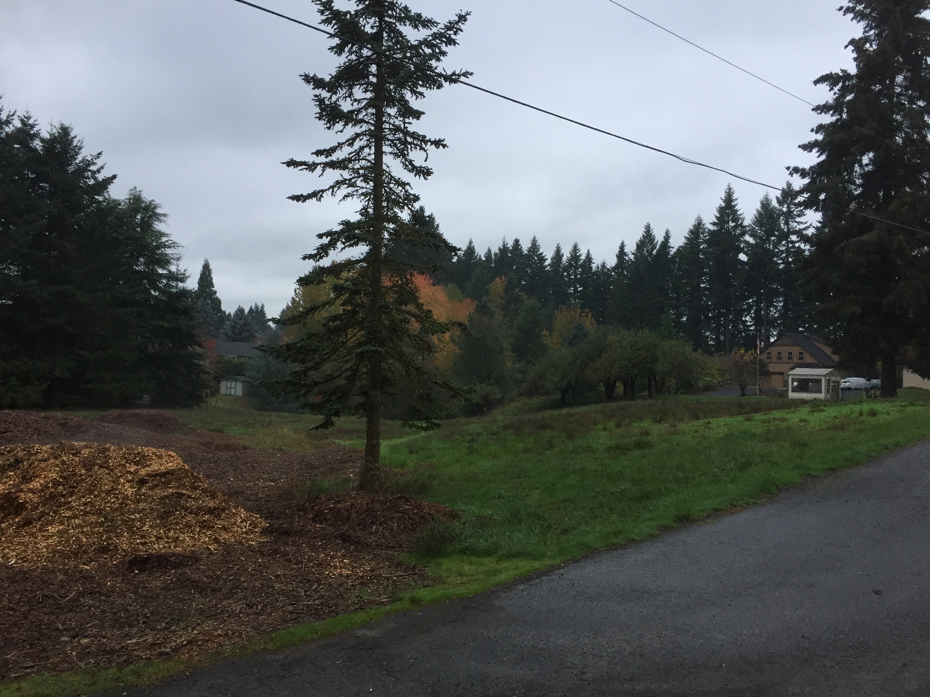
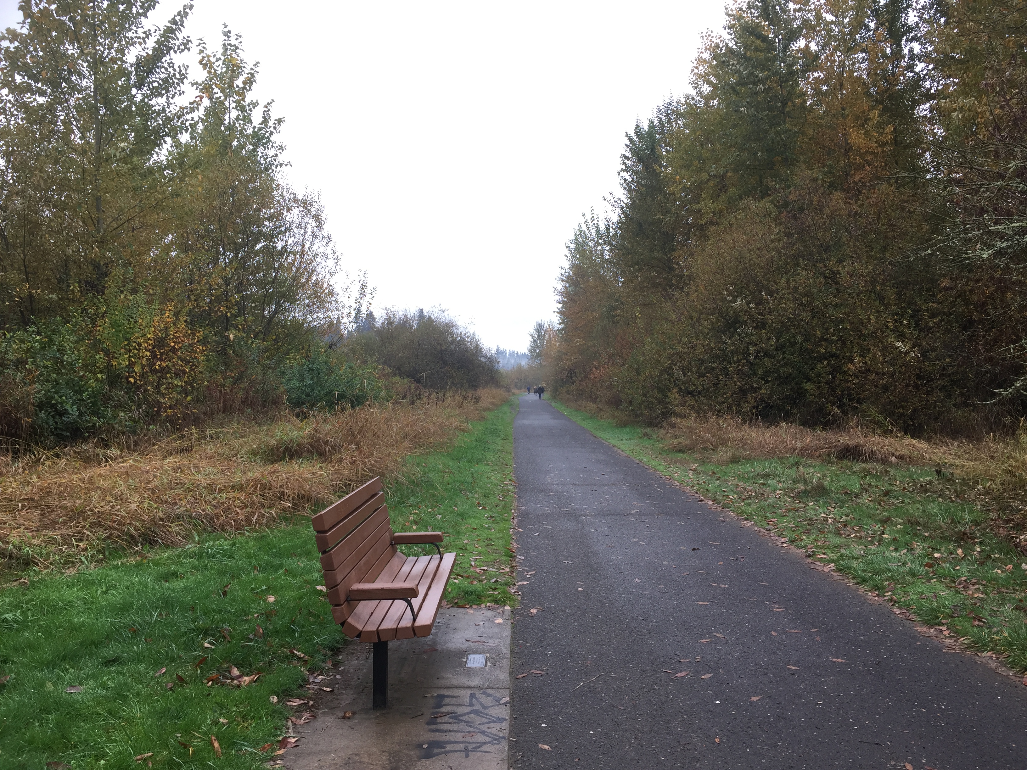
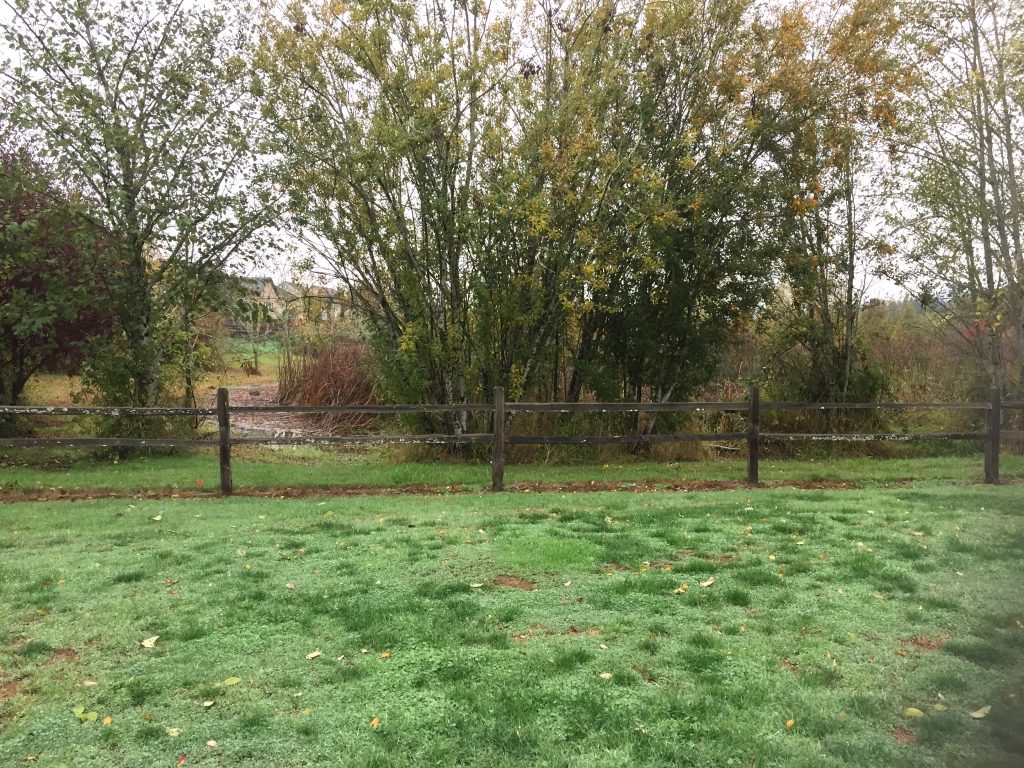
Sternwheeler Park -
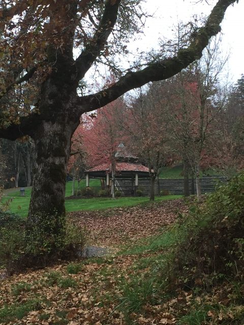
Sternwheeler Park -
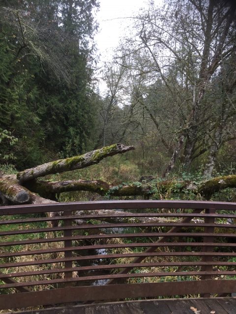
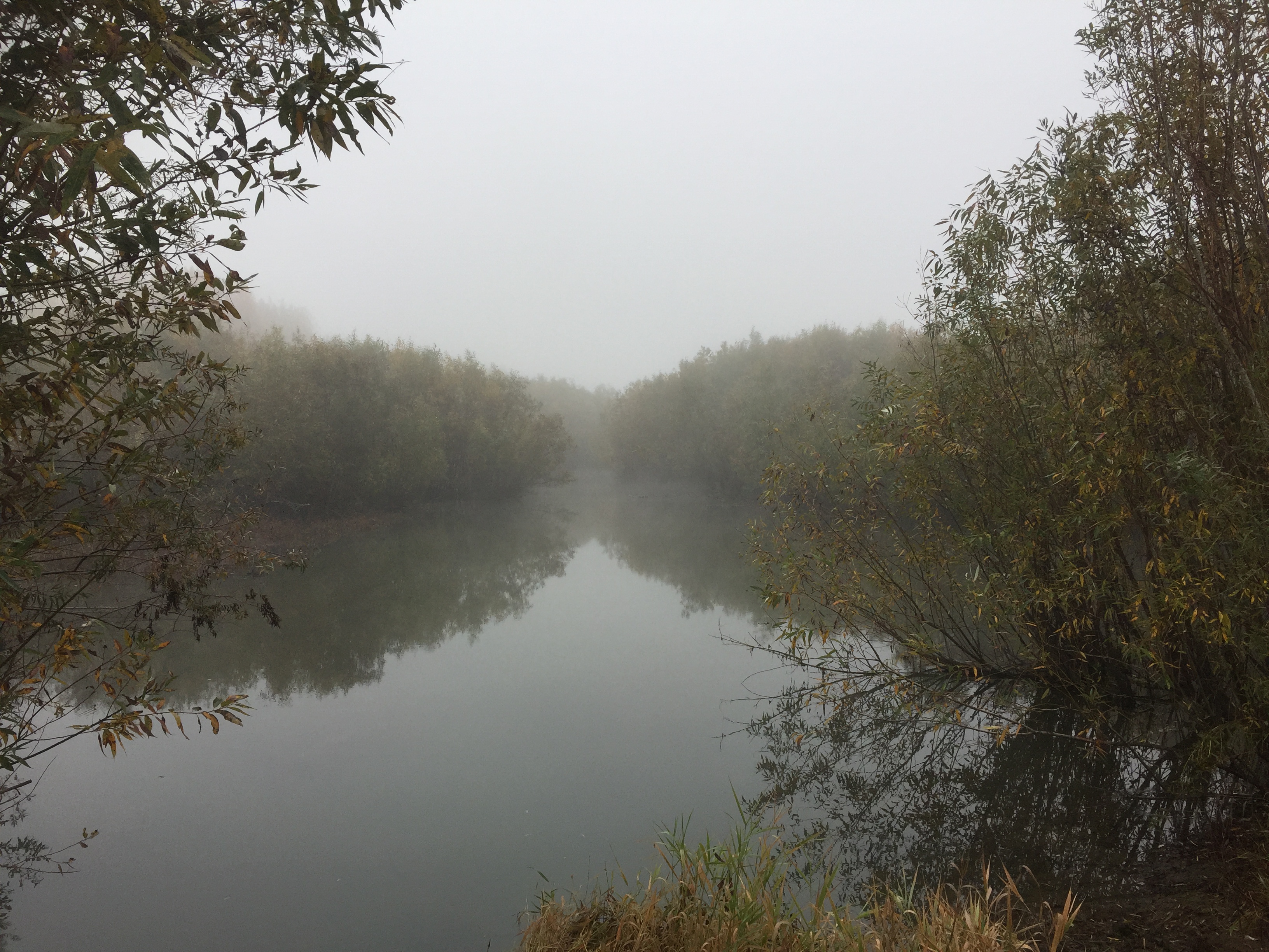
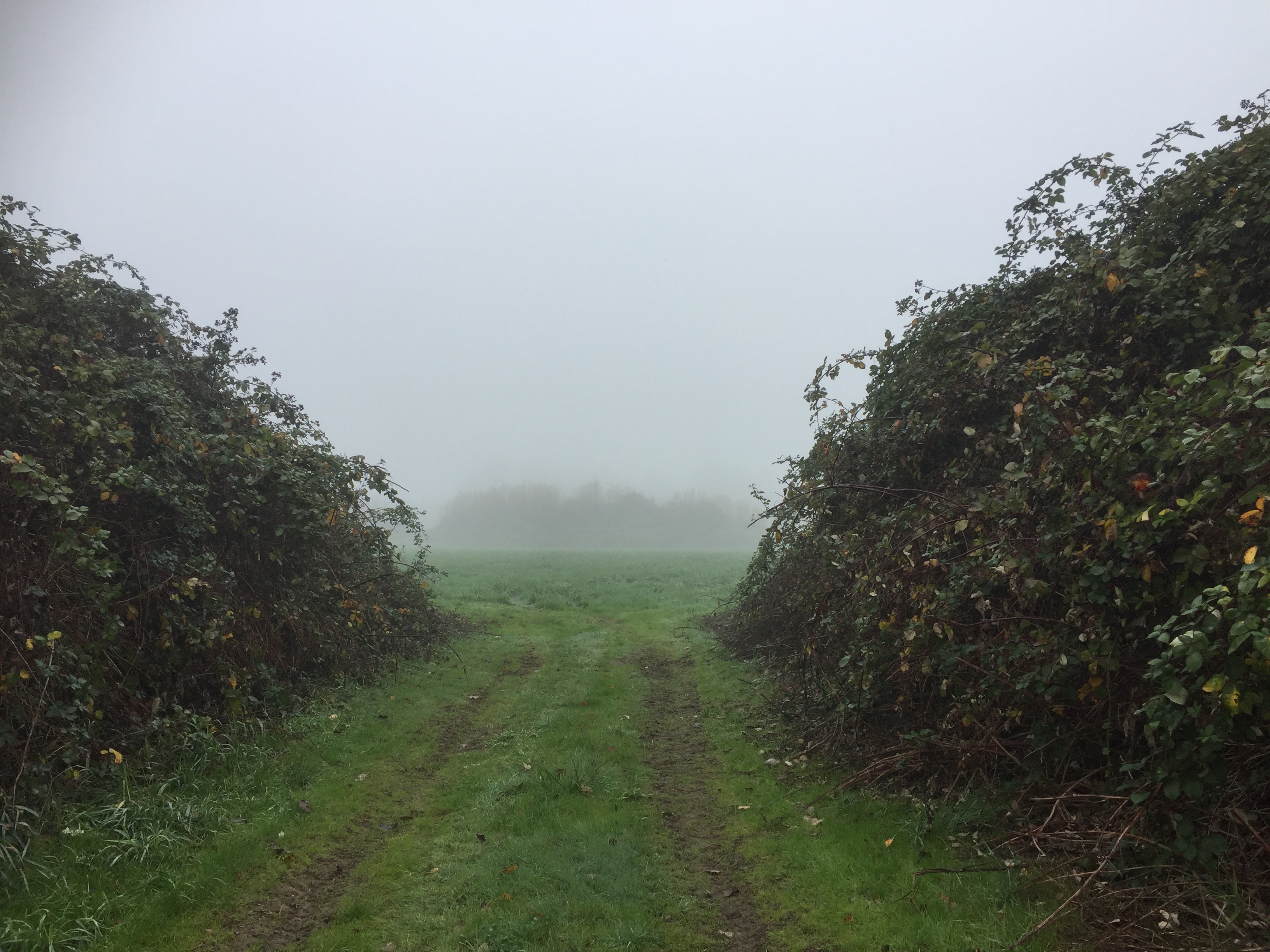
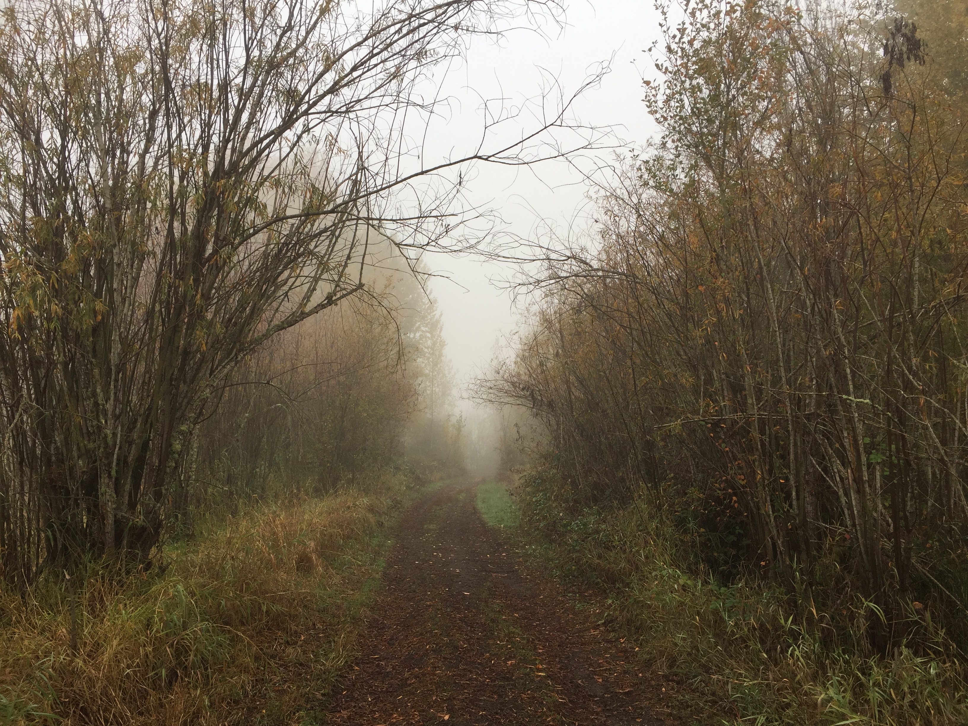
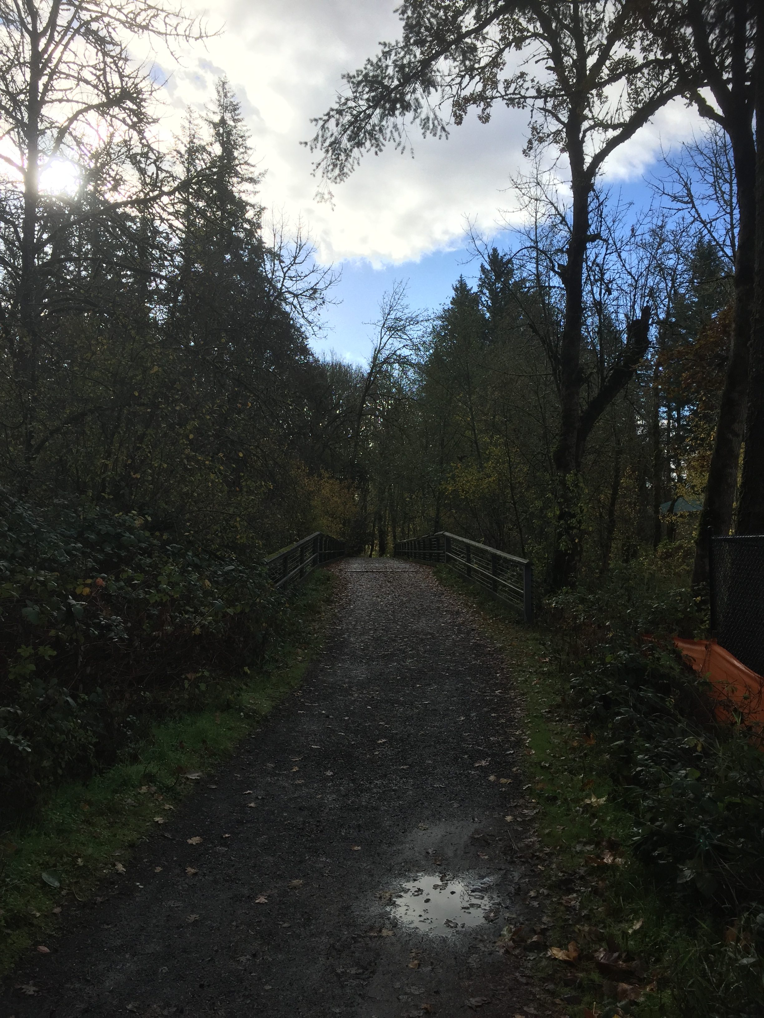
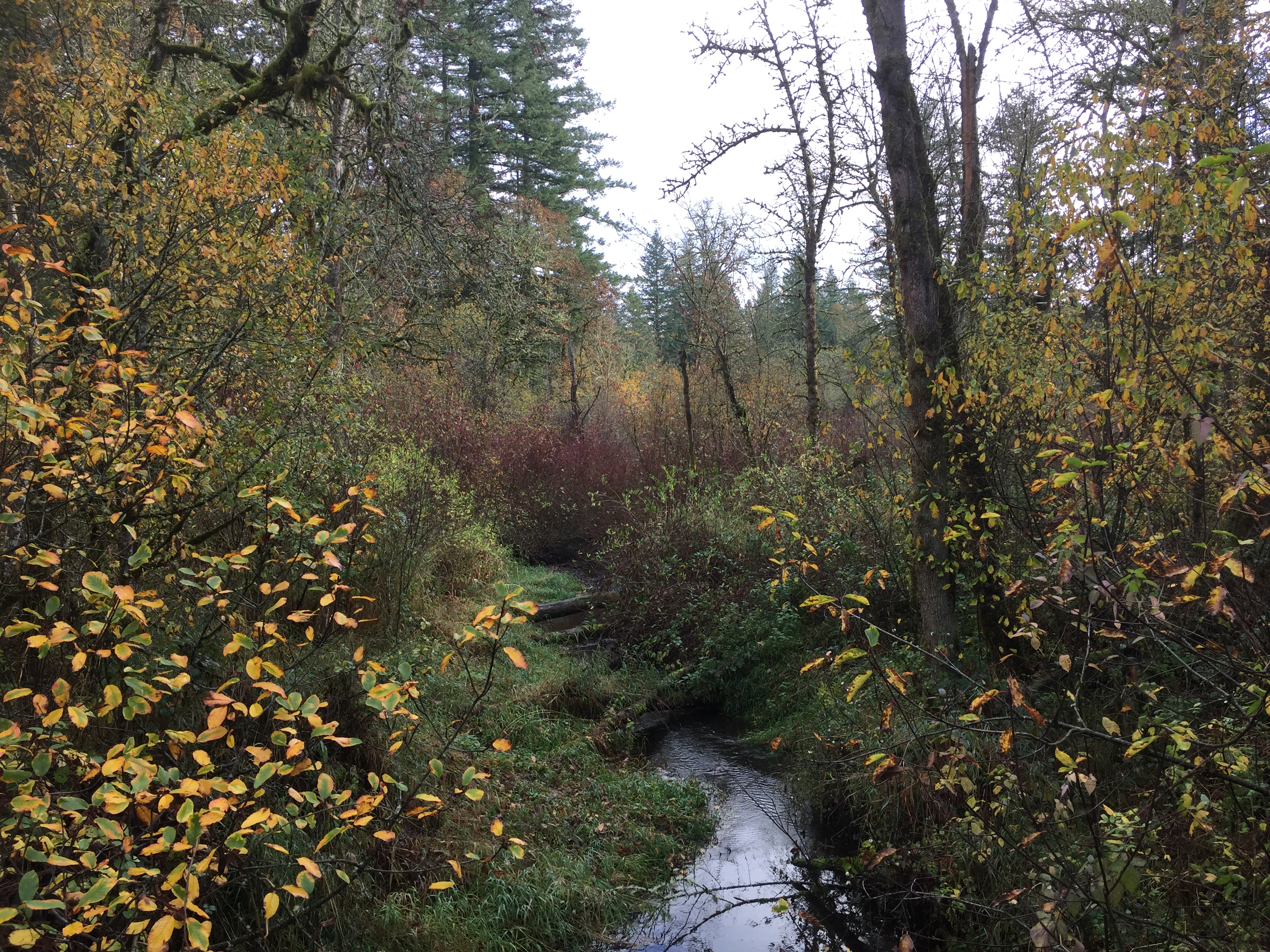
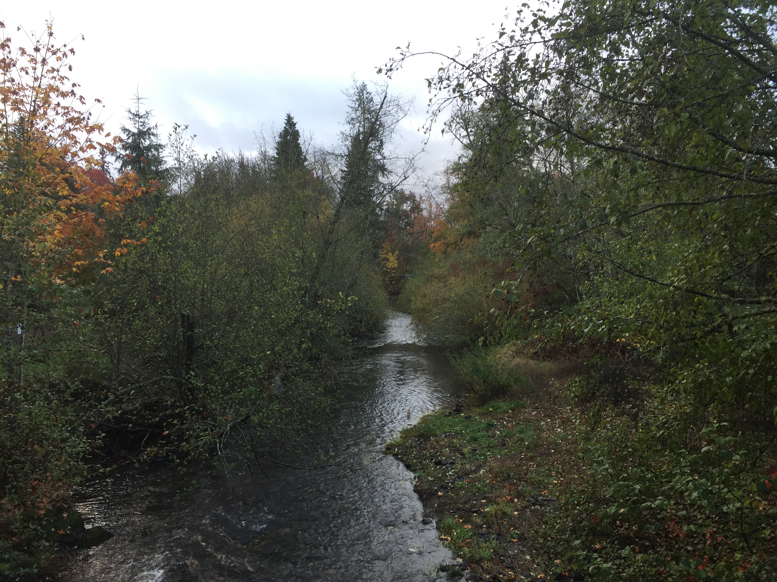
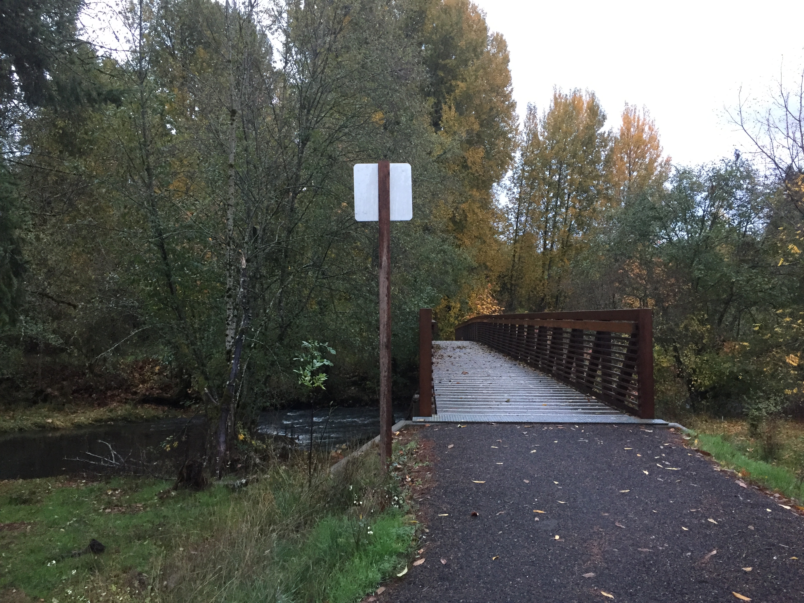
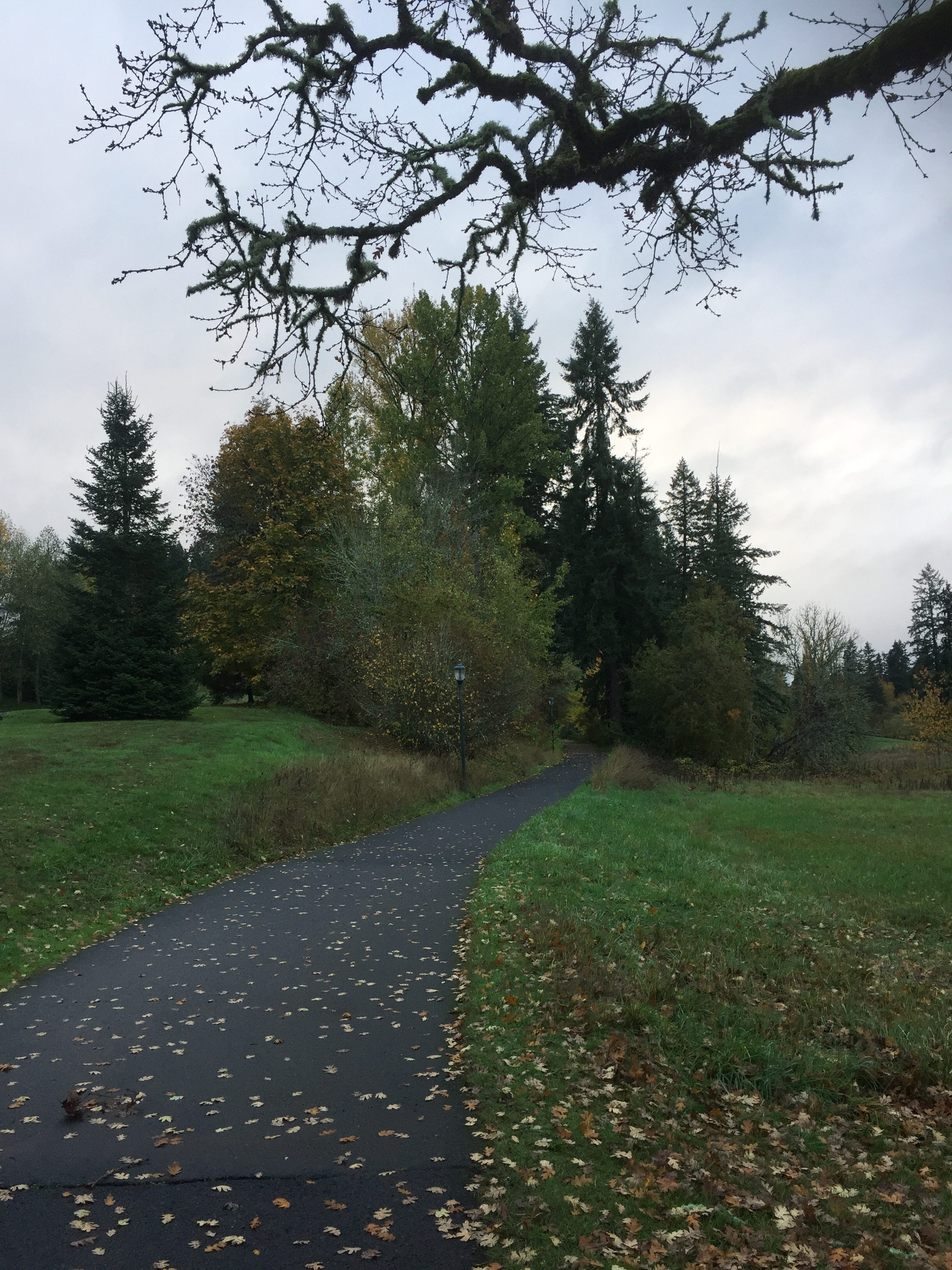
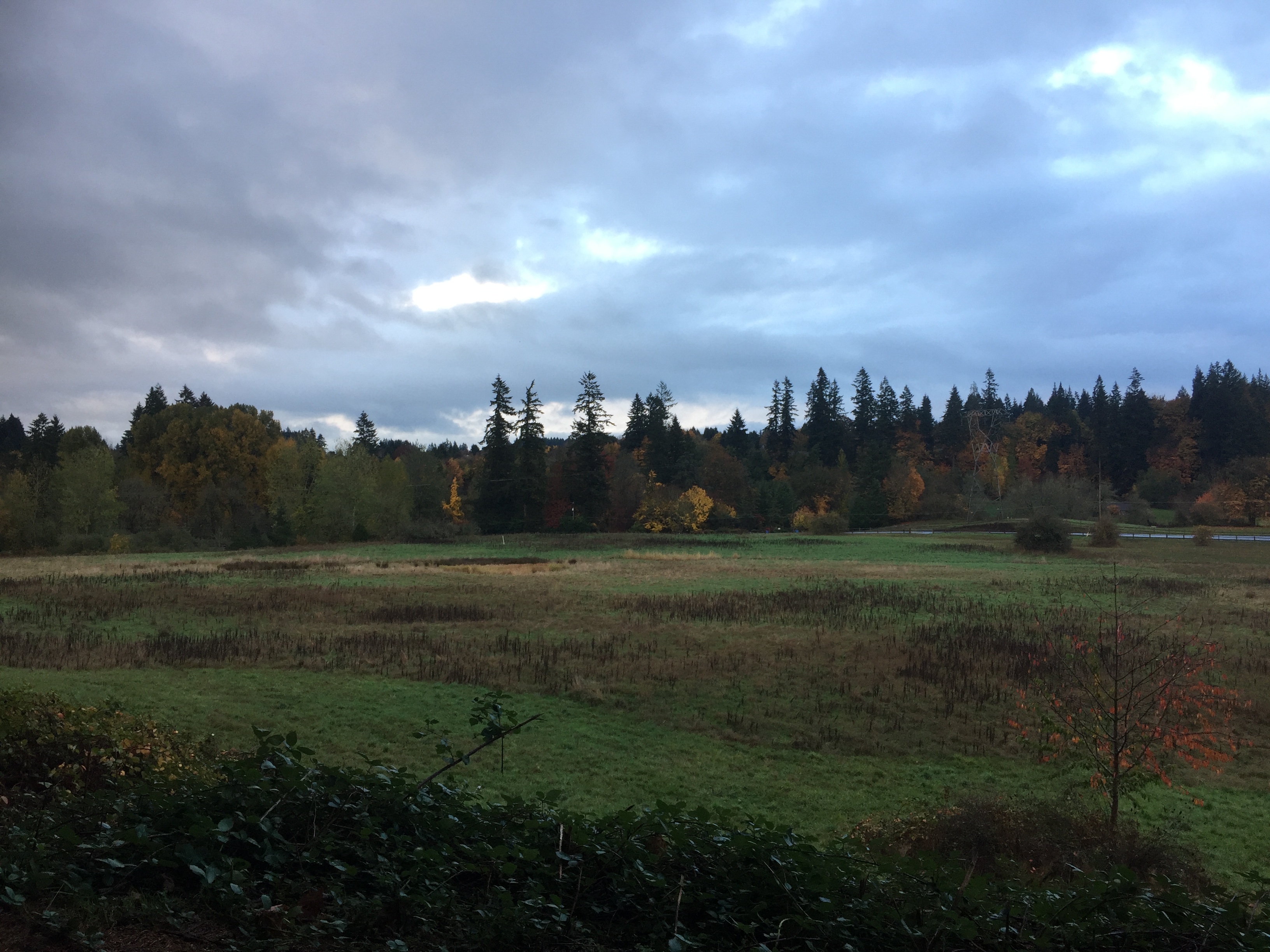
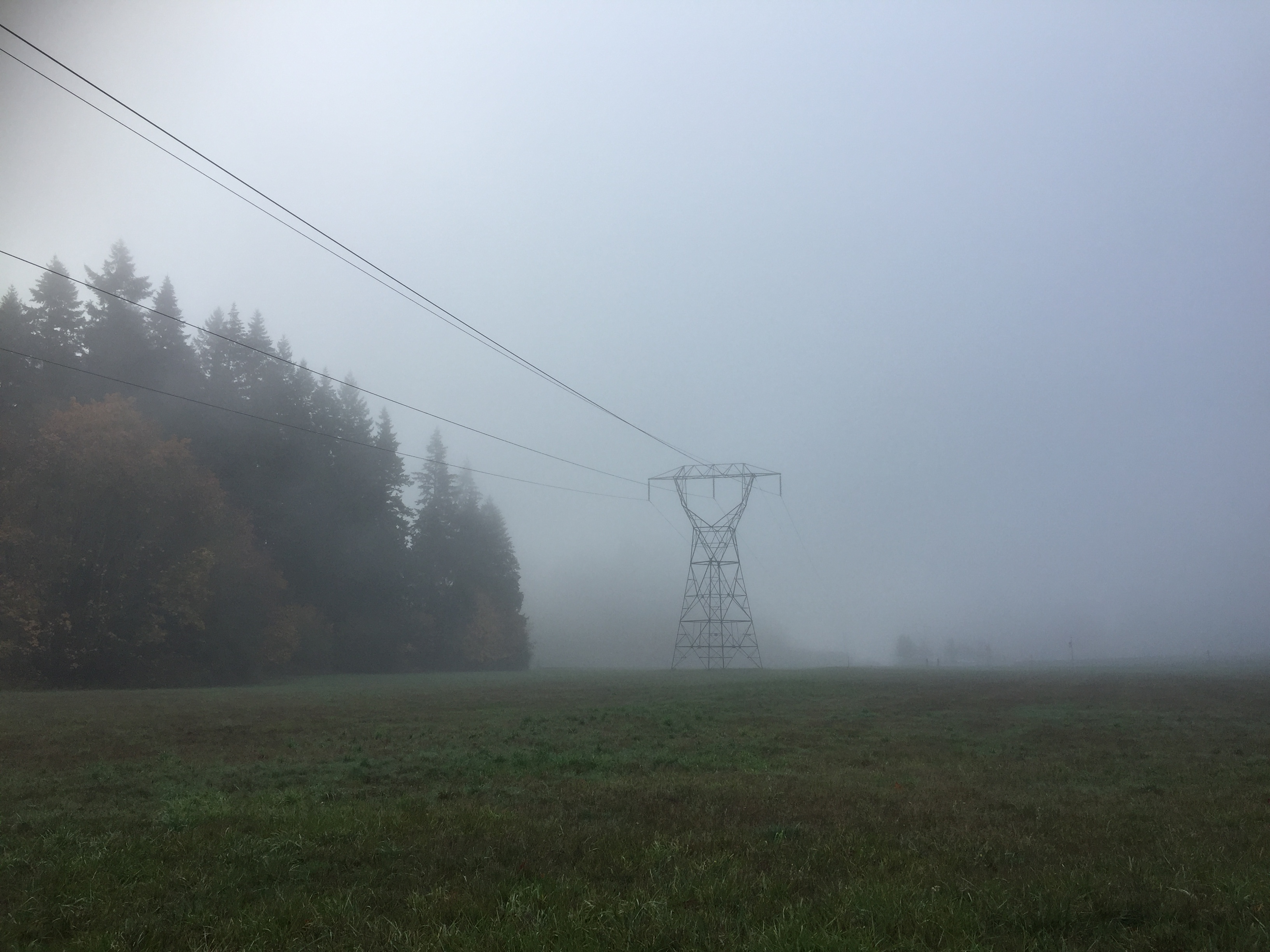
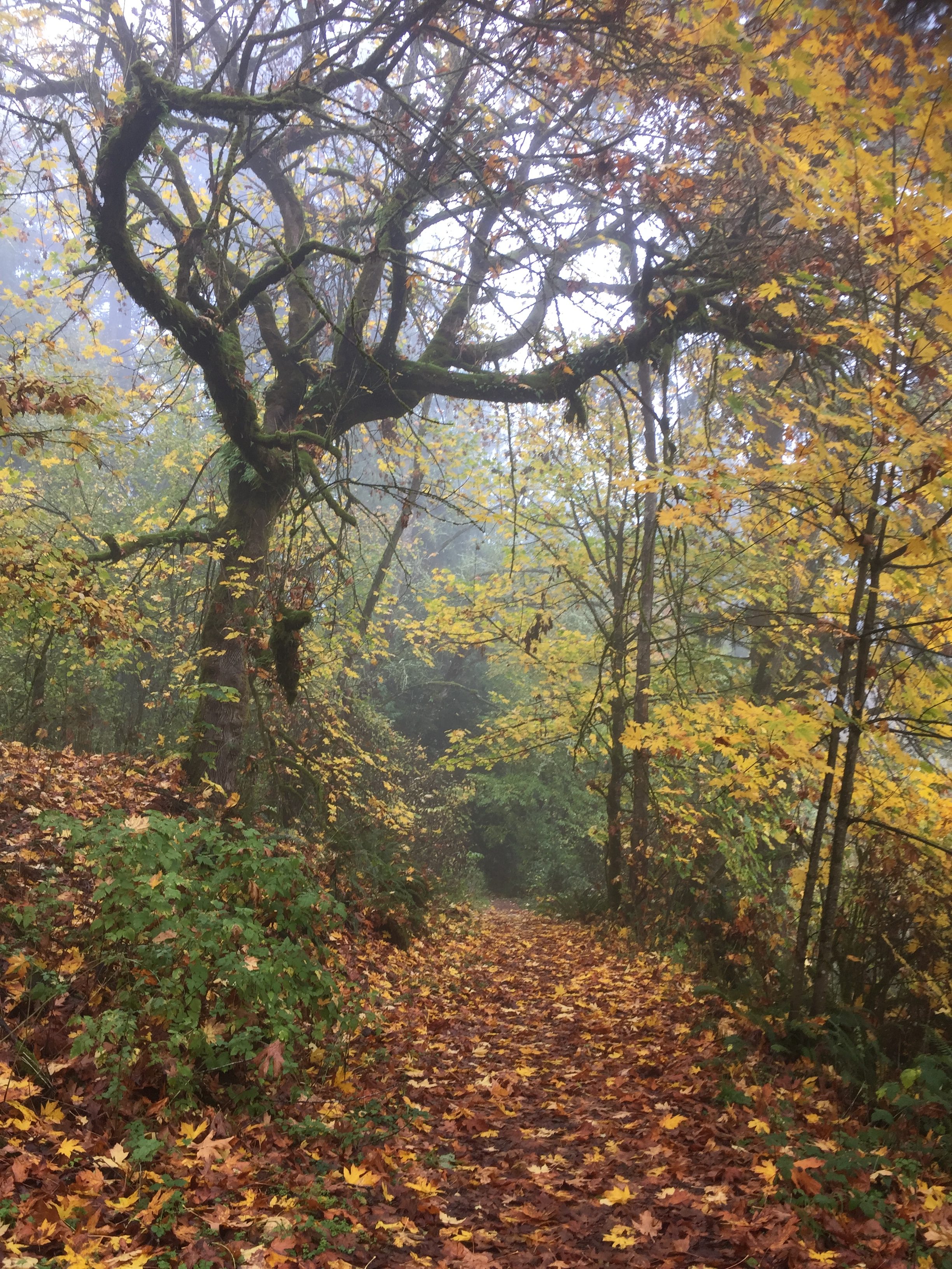
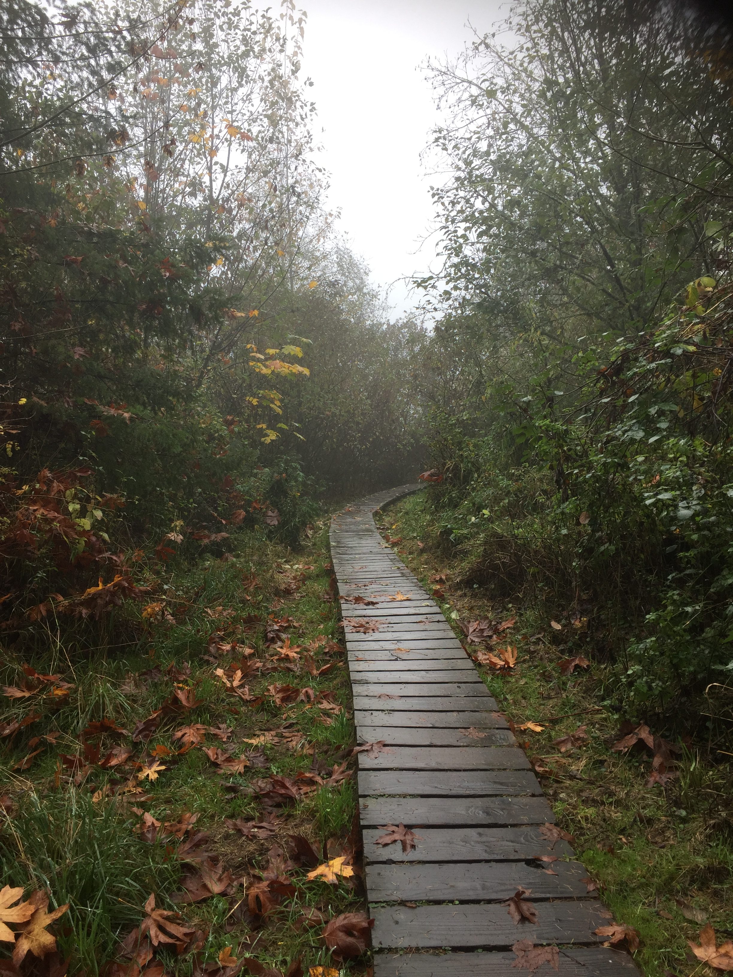
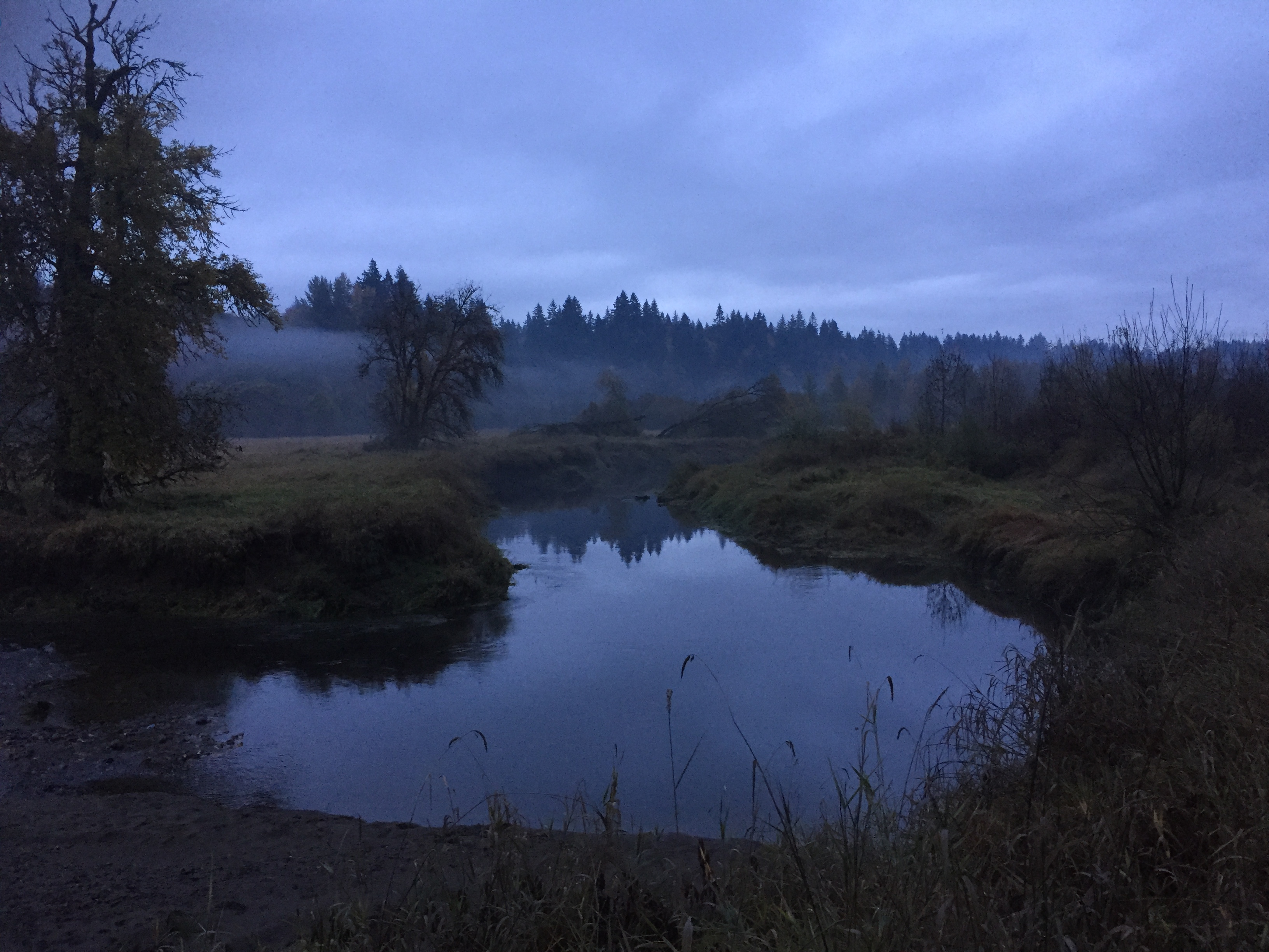
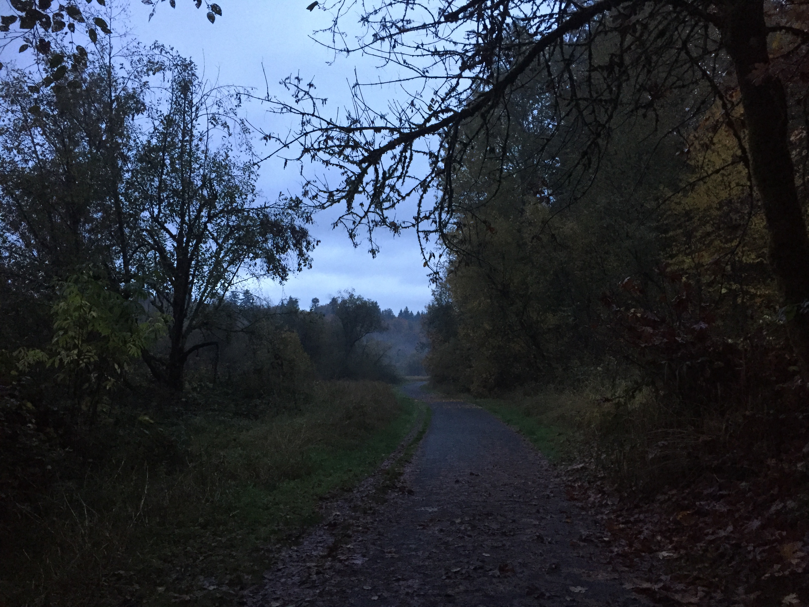
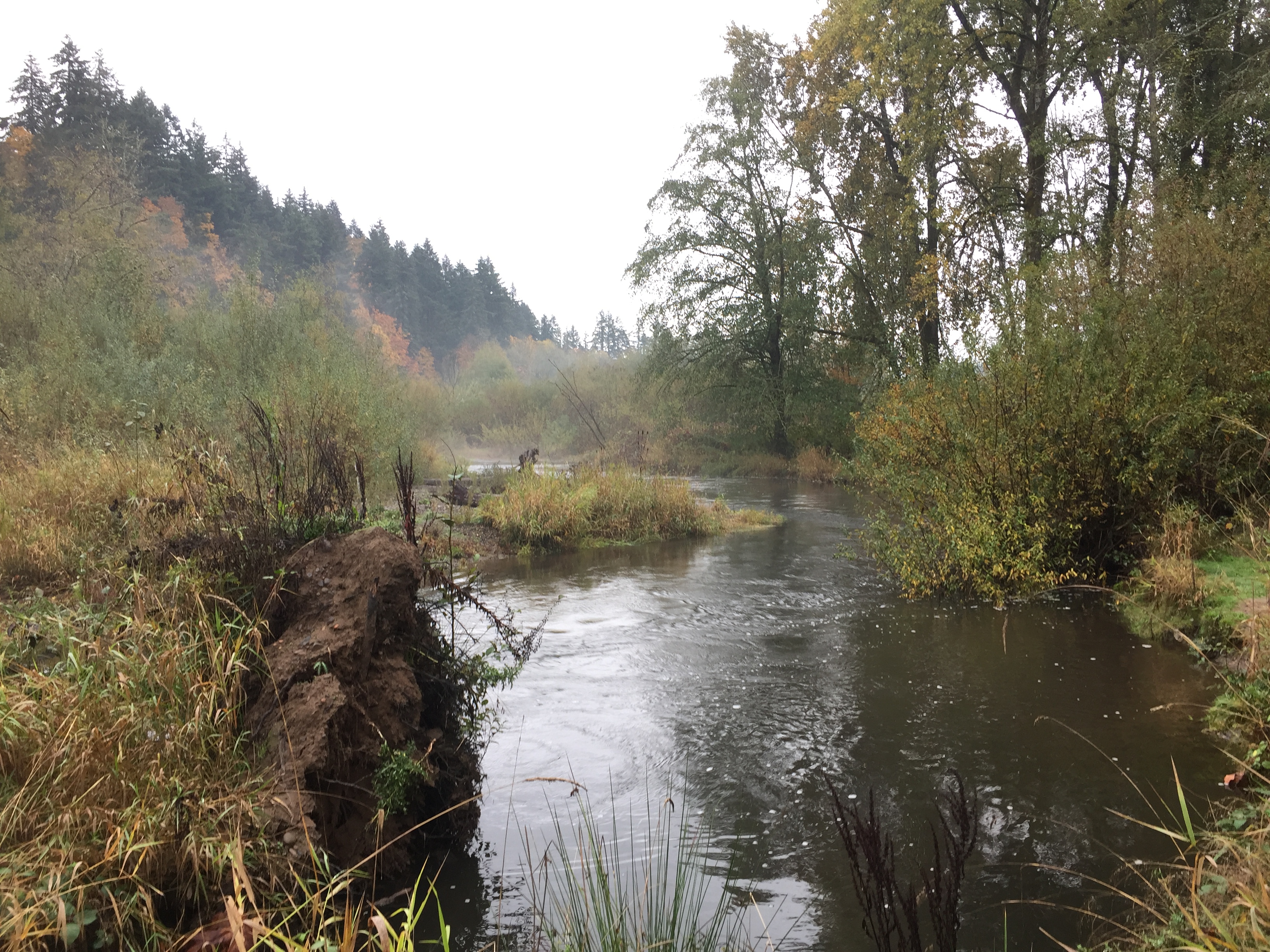
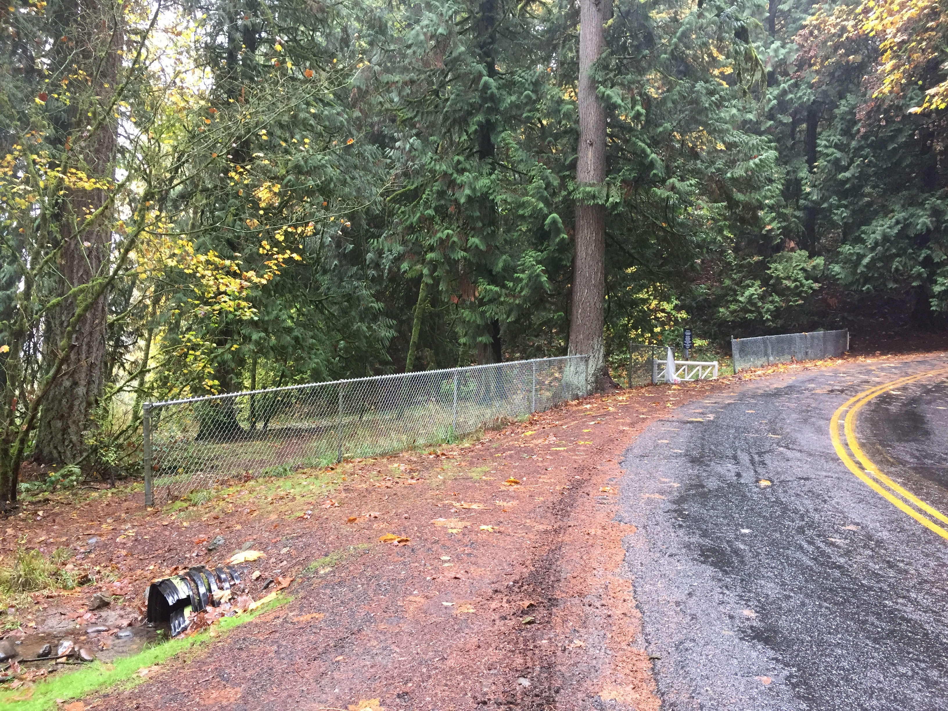
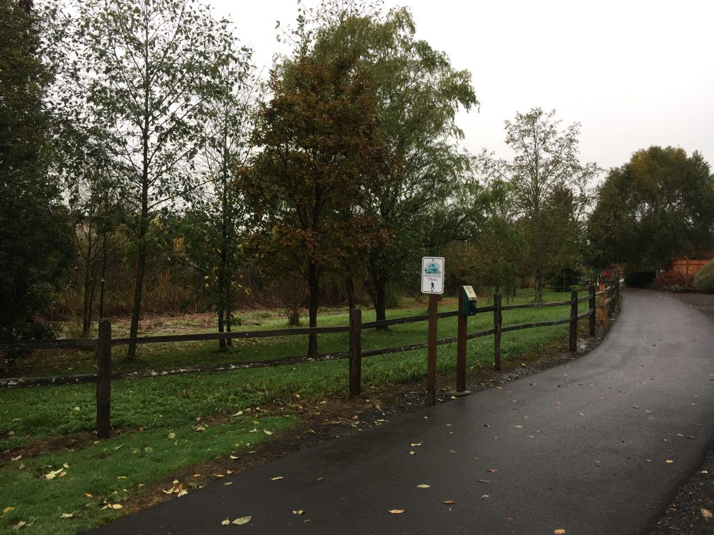
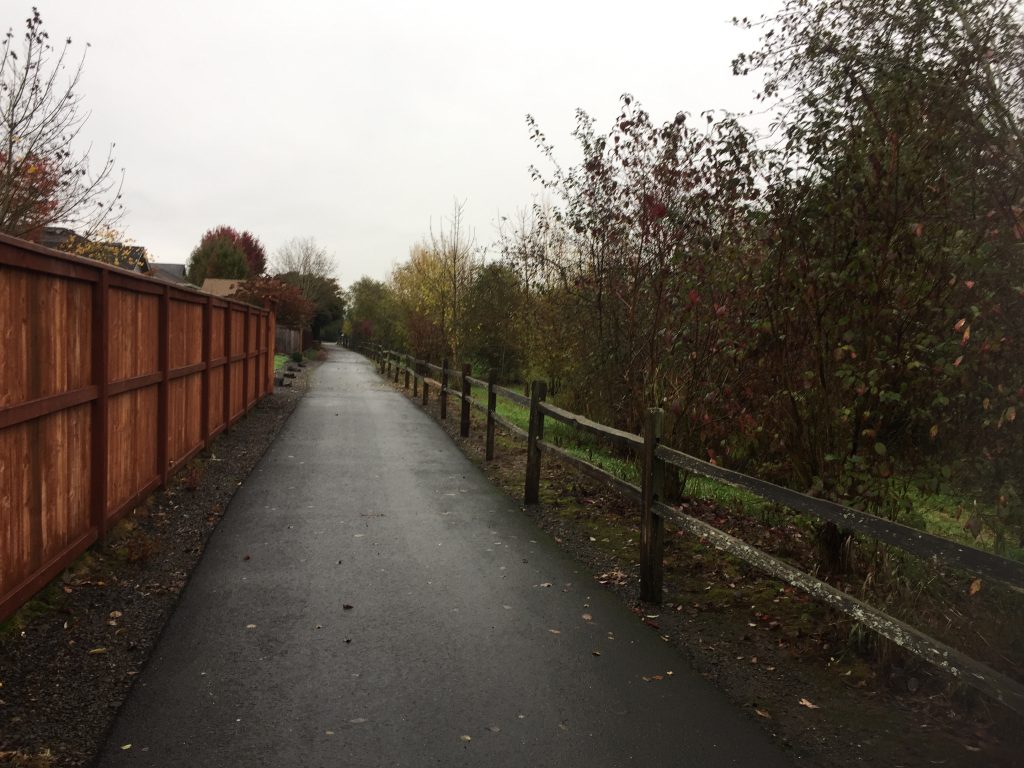
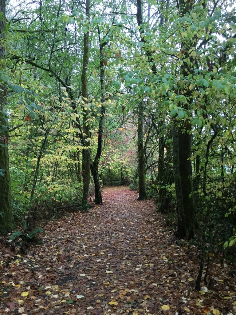
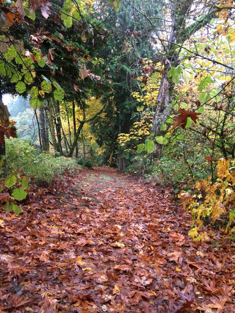
Trail to East Fork Lewis River wetlands. -

Trail to East Fork Lewis River wetlands. -
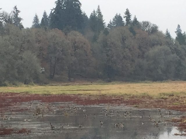
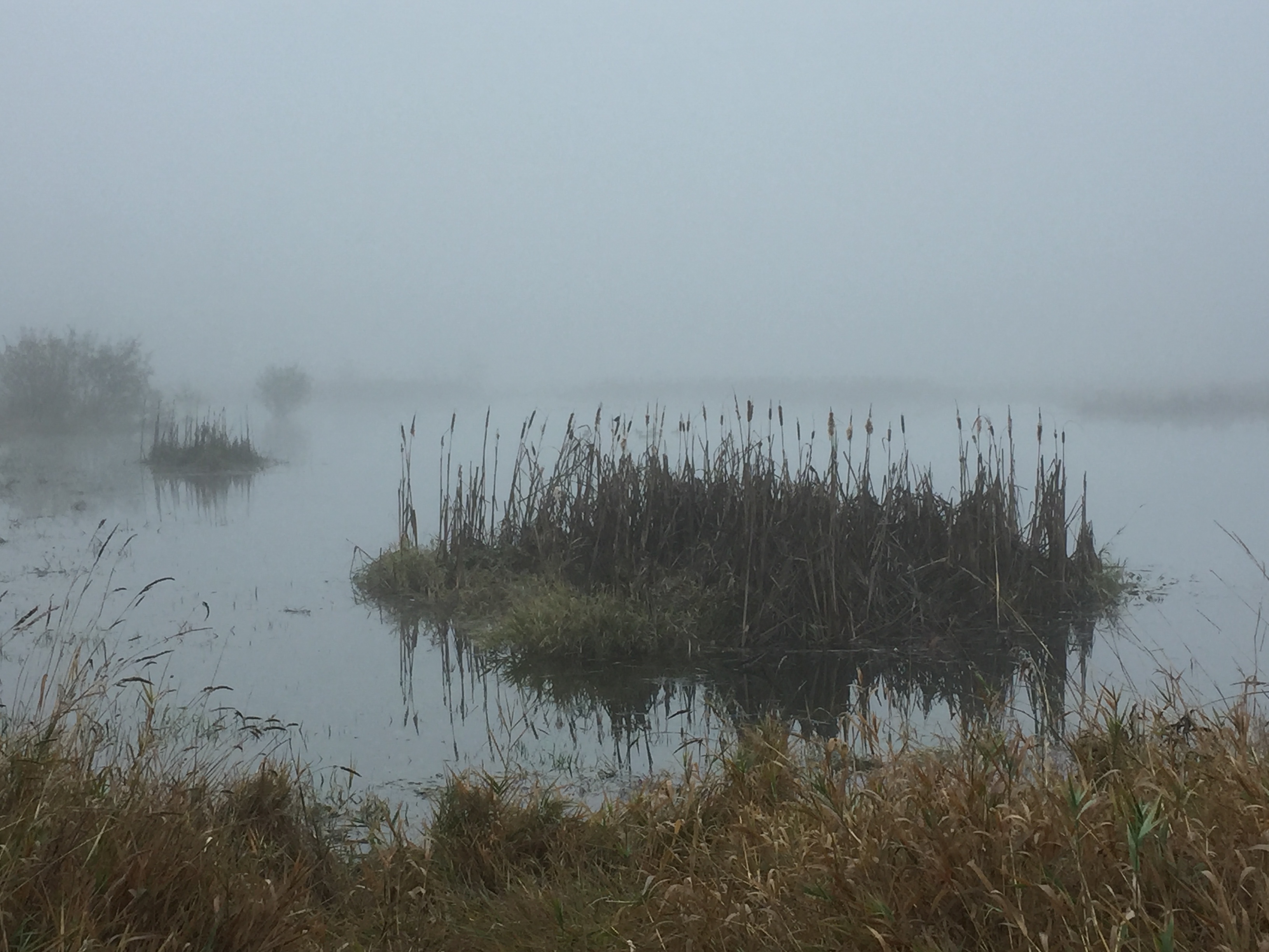
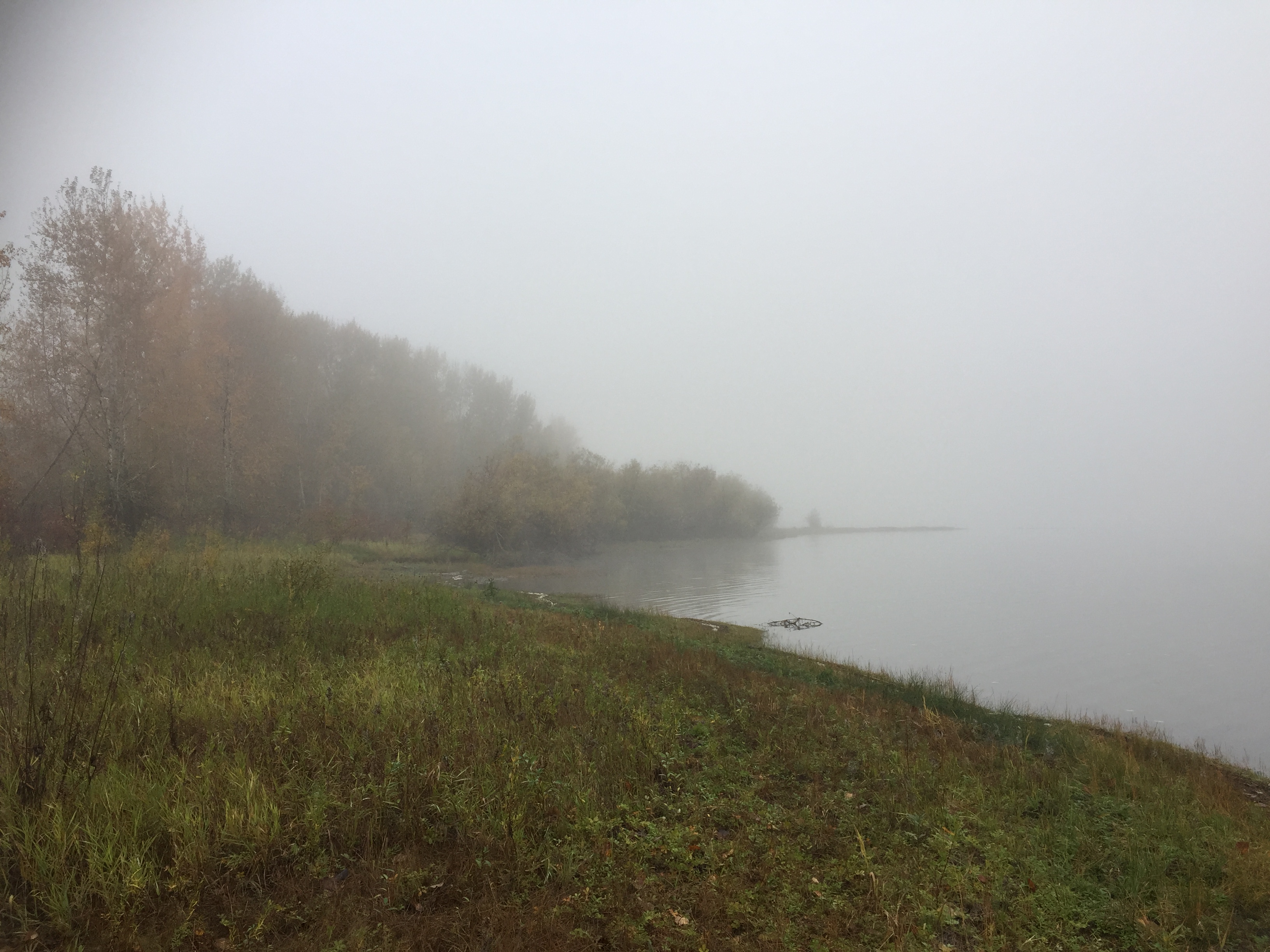
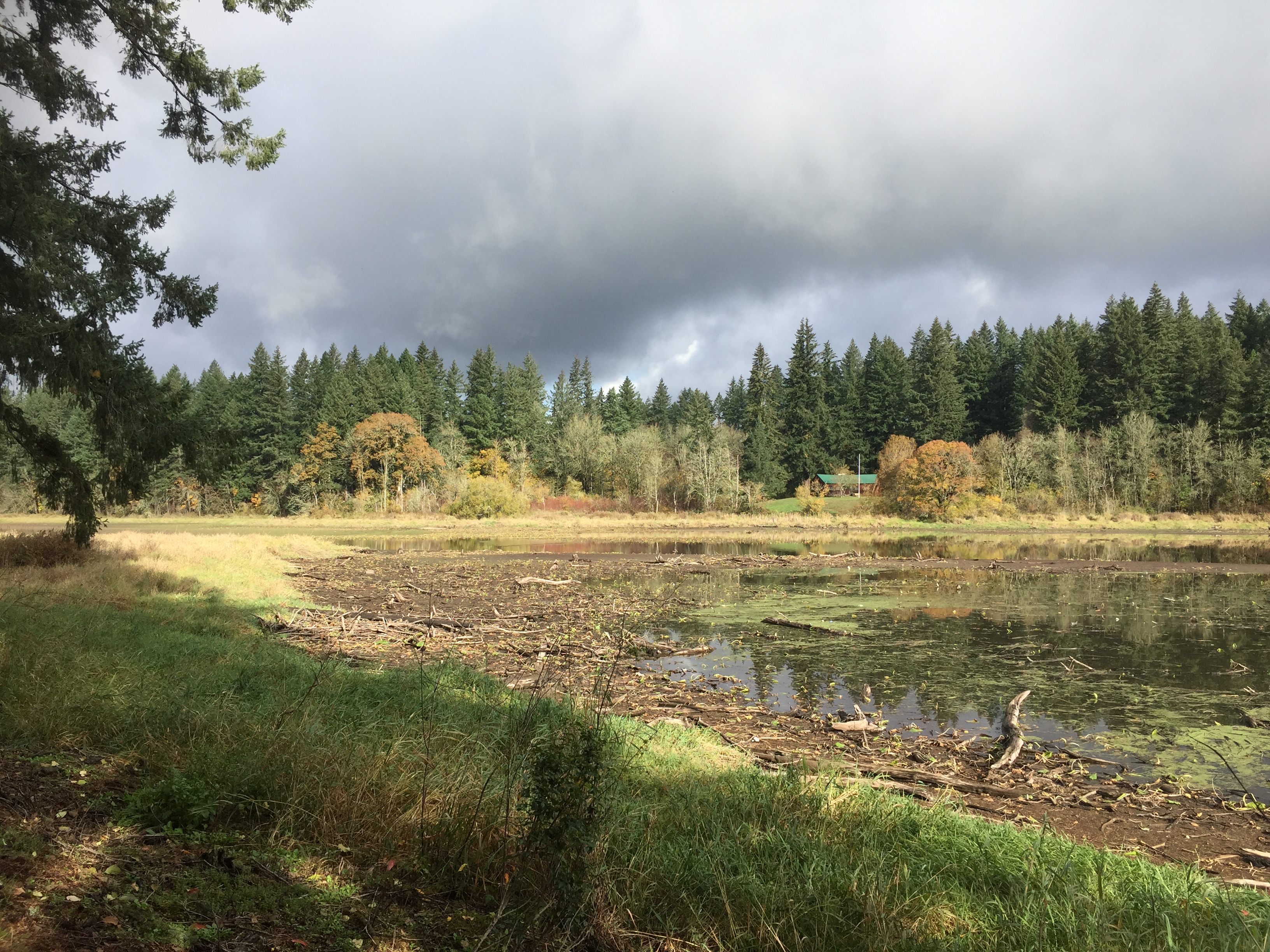
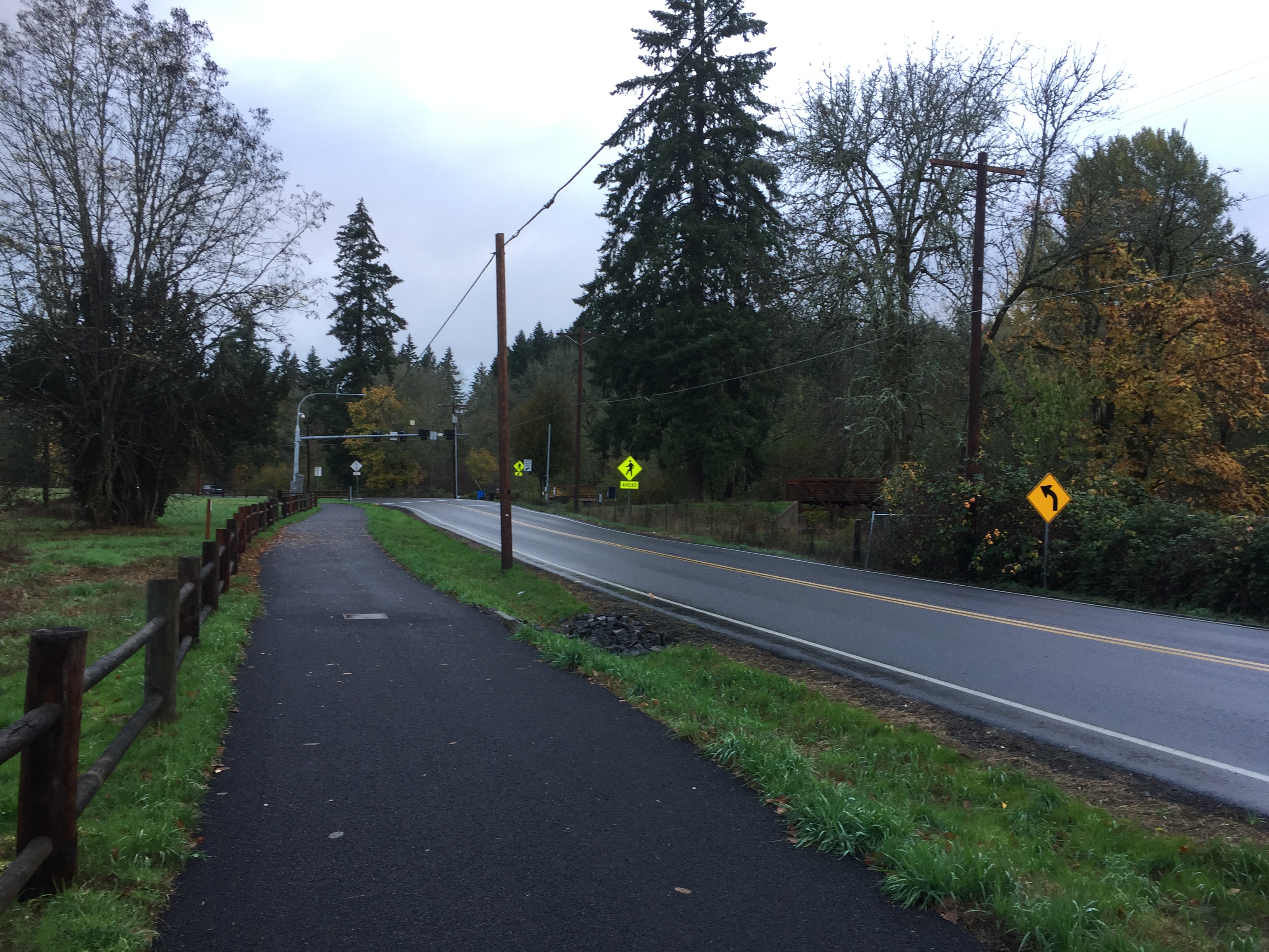
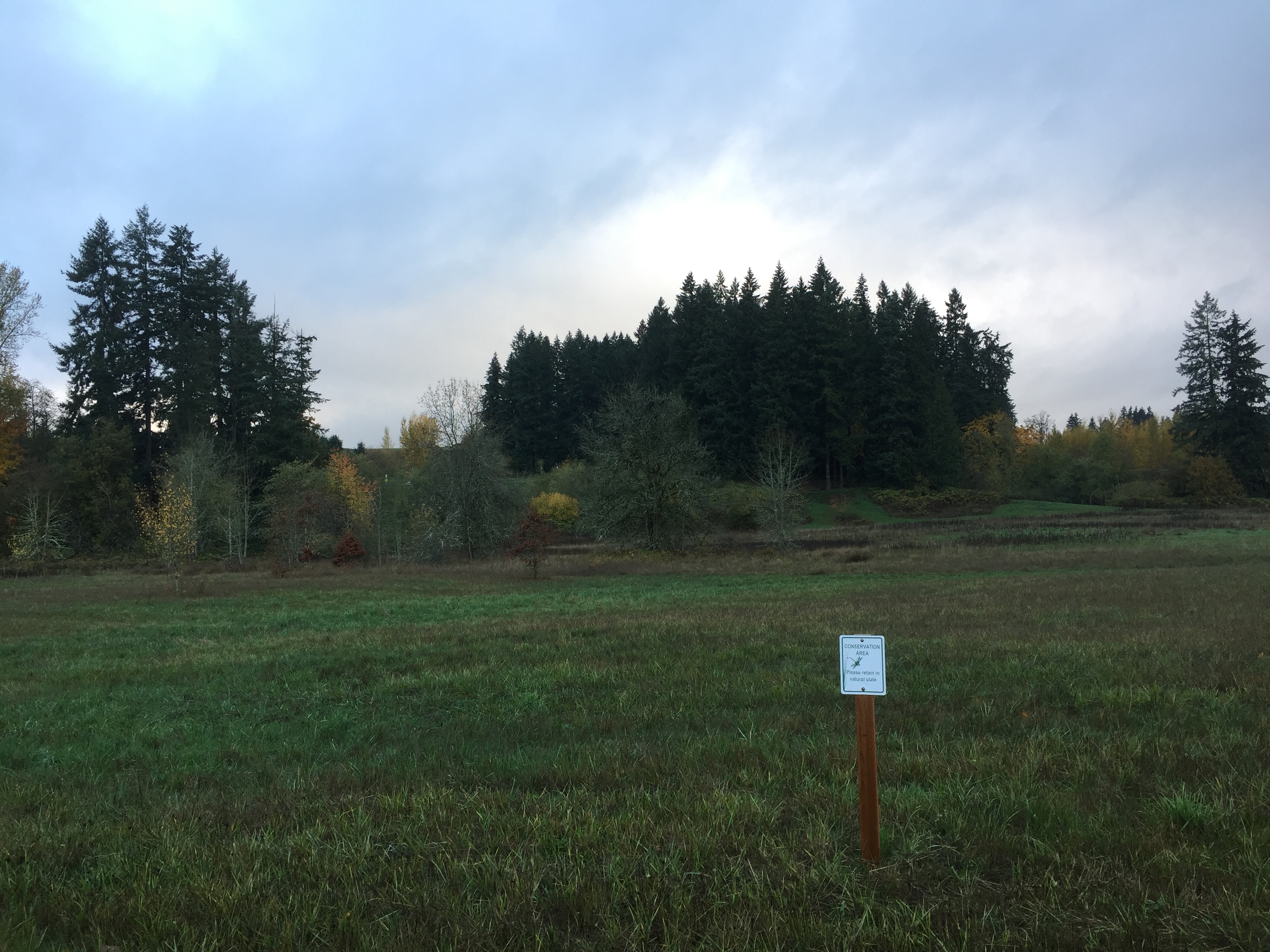
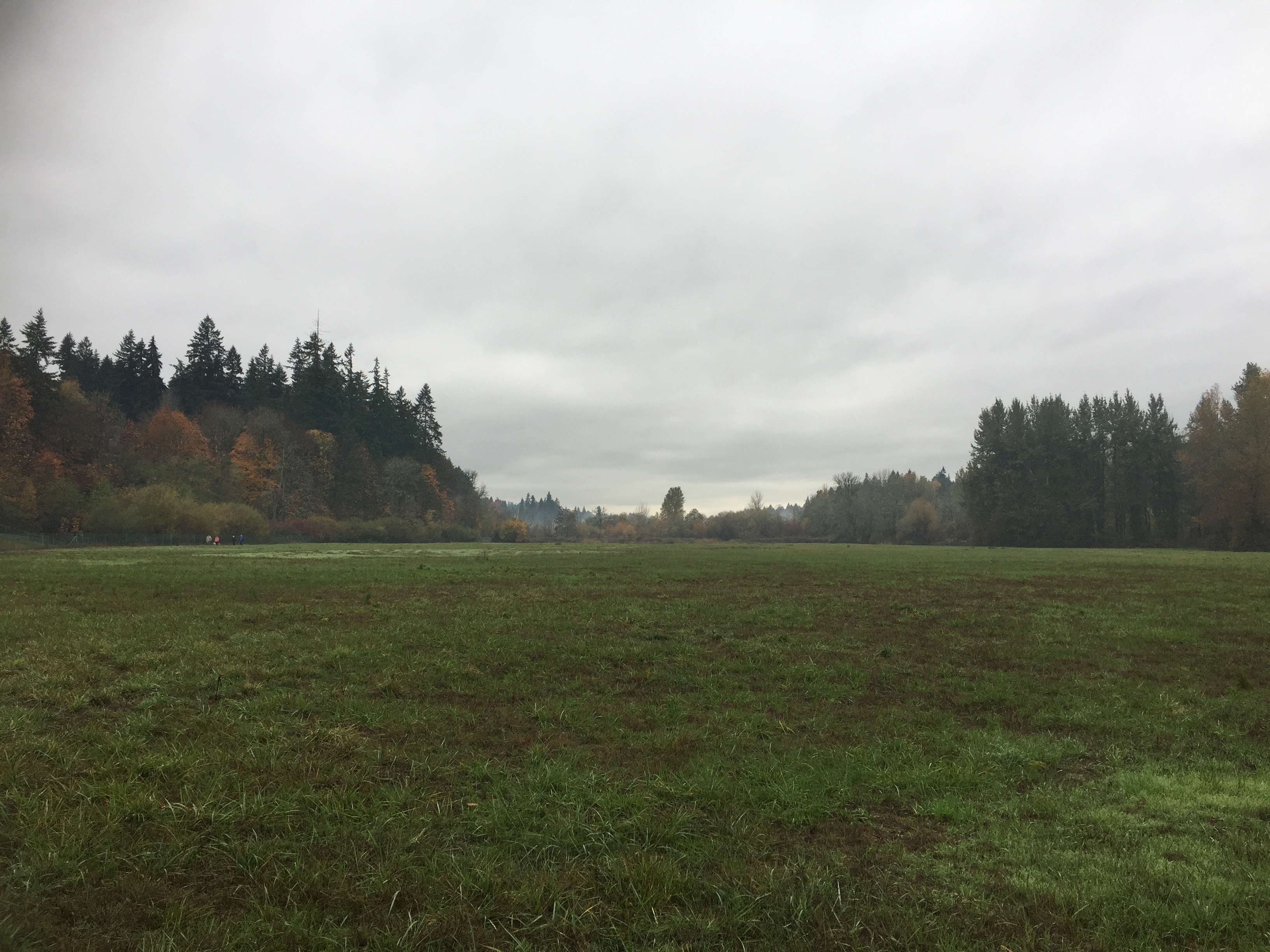
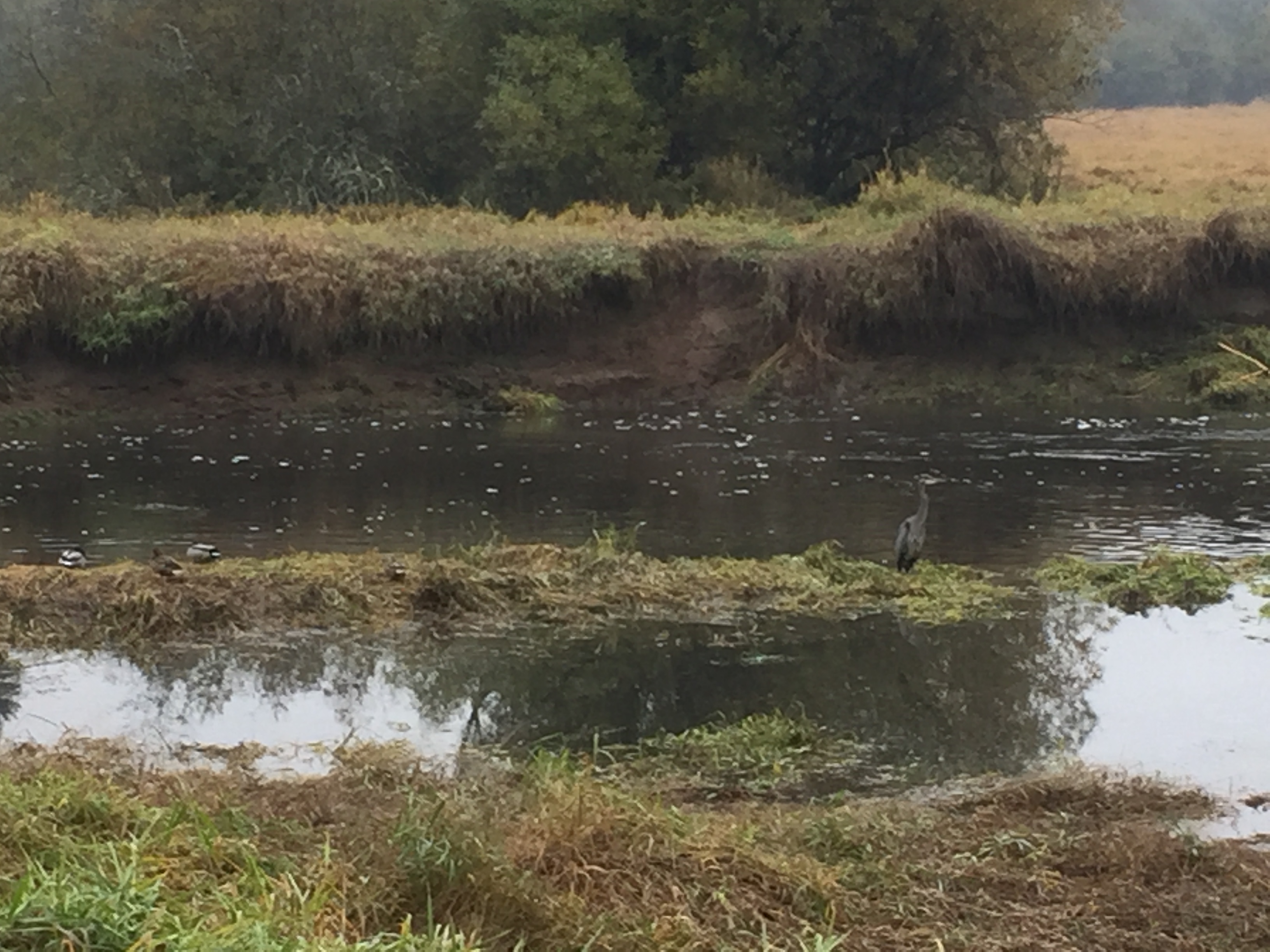
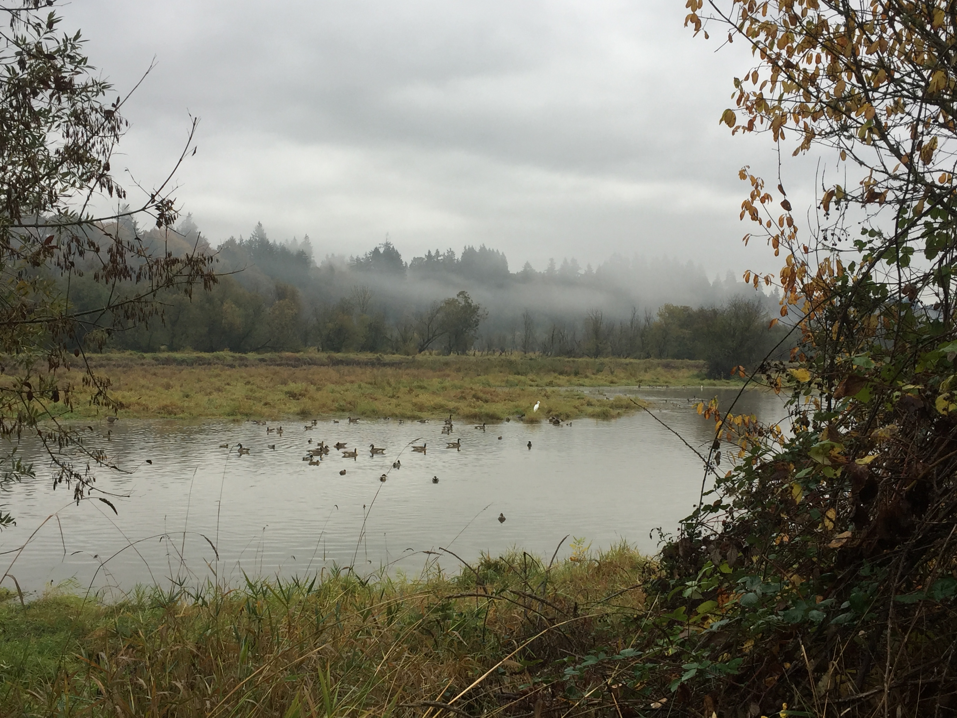
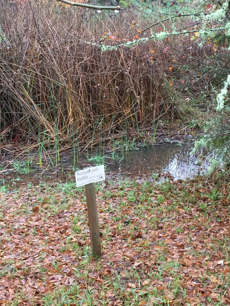
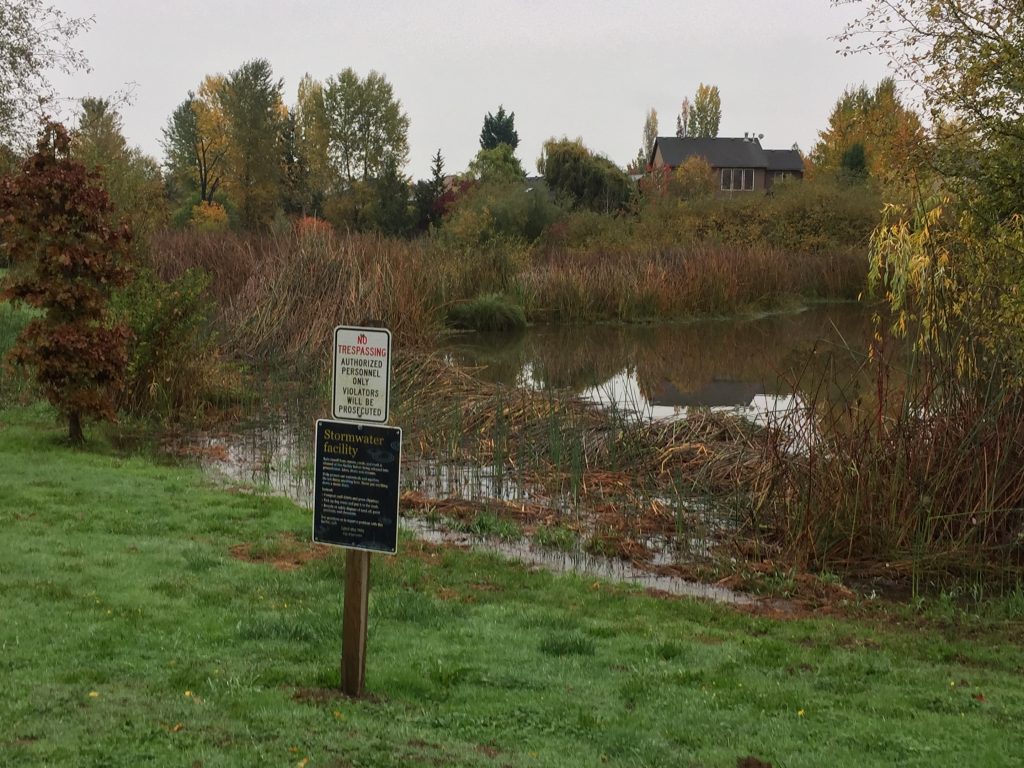
East Fork Lewis River wetlands.