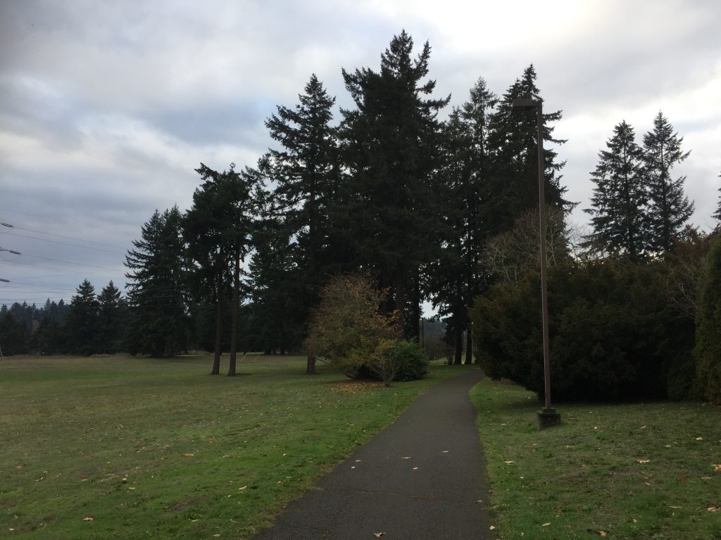
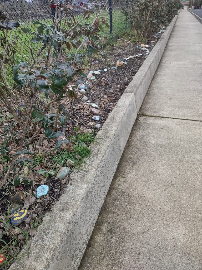
This is a very nice park with a 1/2 mile+ paved path around the exterior. You can park in the main parking lot off NW 122nd St, or access it through a path further west on 122nd St or from 127th St. This can be a busy place, especially during soccer season.
Author Archives: Jim
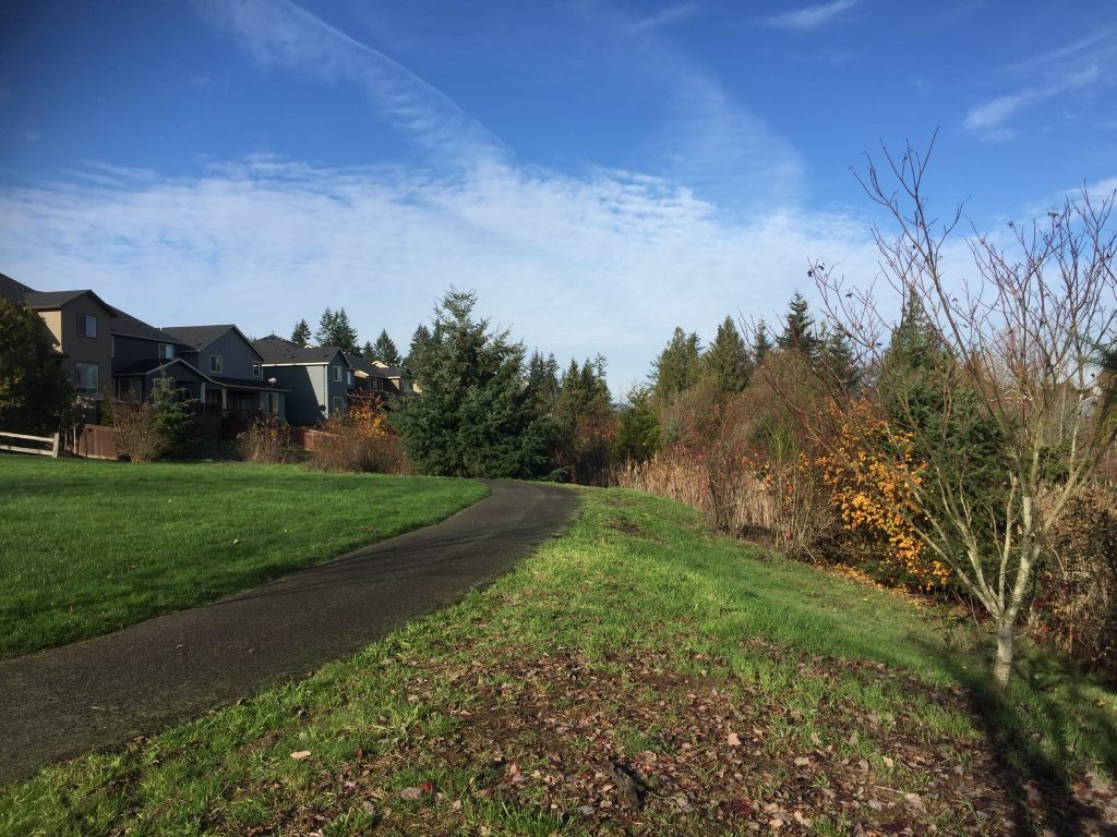
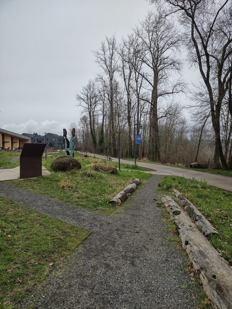
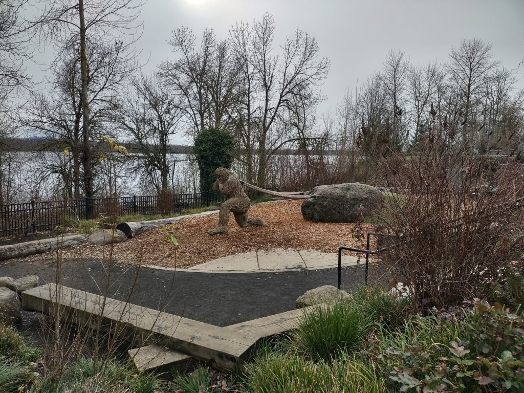
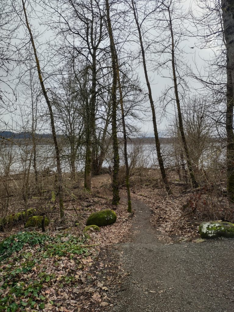
Remy Wetland
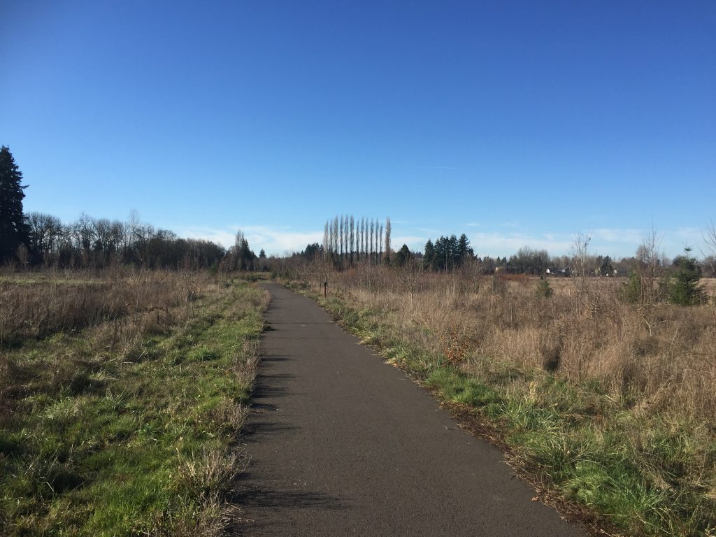
Remy Wetland 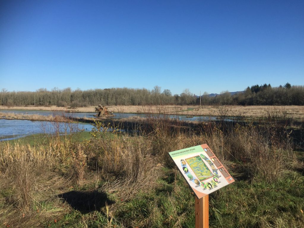
Remy Wetland 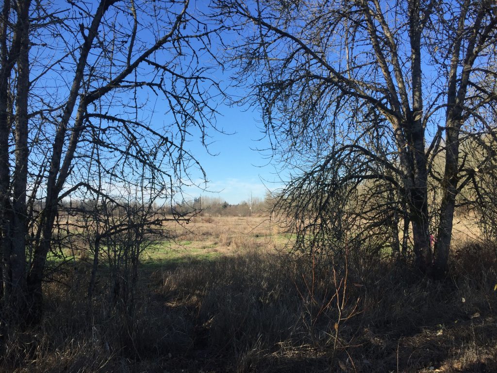
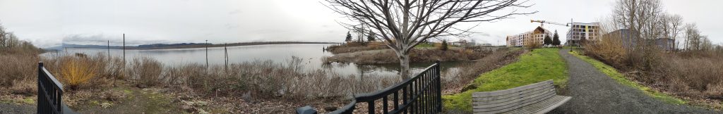
Remy Wetland from the east side 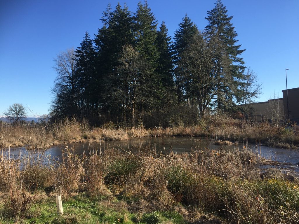
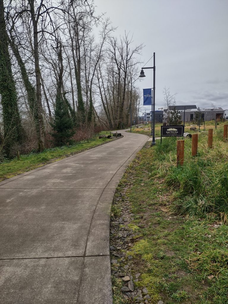
Wetland north of Walmart in Battle Ground 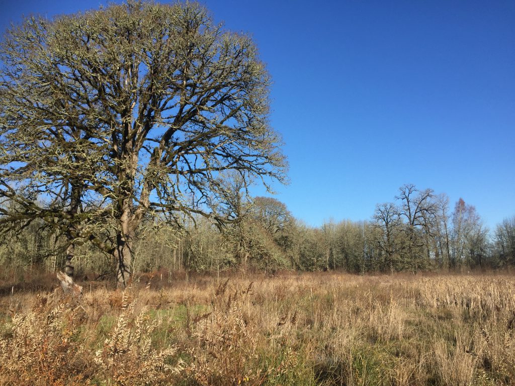
Wetland north of Walmart in Battle Ground
This is a fairly new trail along the south side of this wetland. There is no designated parking for it, so you will need to park in the Walmart or shopping center parking lot to the east and cross the street to the trail.
When I was there I watched a hawk circling the wetland. Walking the paved path I had to watch my step as apparently several types of animals like to use it as a waste site.
If you go north up the street past Walmart, you’ll come to an area with trail access to the wetland, and a constructed wetland area behind the Walmart.
Larch Mountain
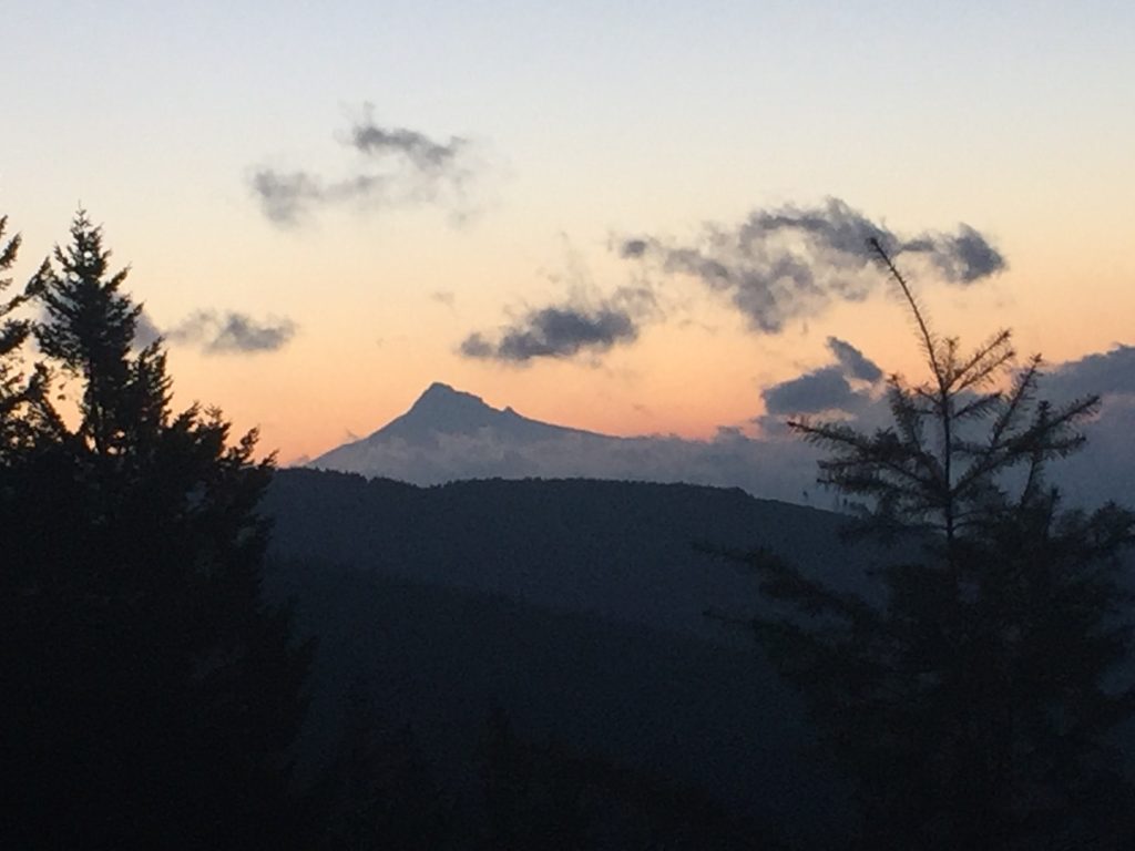
Mt Hood viewed from L-1500 on Larch Mountain 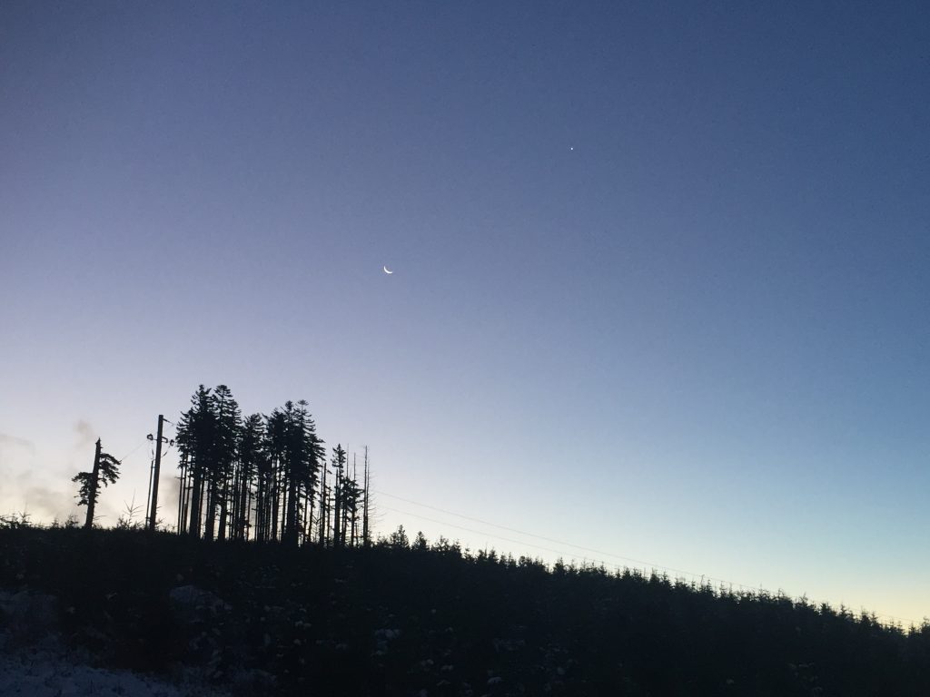
An early morning scene on Larch Mountain
The Larch Mountain Trailhead includes parking and restrooms to get you started for either a casual hike or ride along logging roads, or a challenging hike or ride that can take you several miles.
The Thrillium Mountain Bike Trail which goes north from the trailhead, is very steep in places. Following the road that goes uphill to the southeast, will take you to the top of Larch Mountain, and connects to more trails to choose. When I visited here a couple months ago, I followed the Cold Creek trail to the north from the summit that was prepared for a mountain bike race later that day. I found some parts of this trail challenging to descend, and impressed that people would actually ride a bike down it. I then connected with the Tarbell Trail, and followed an easy walk along a logging road (Murphy’s to Thrillium Access Route) until I turned onto the Thrillium Mountain Bike Trail and climbed (yes, CLIMBED) up the hill back to the trailhead. While some of these trails offer splendid scenery and views, you might want to leave some of them to the mountain bikes. The loop I walked was about 5-1/2 miles. Enough trails exist in the area to choose pretty much any length of walk you want, including connecting to the 20 mile loop Tarbell Trail.
Trails in this area are well mapped on trailforks.com
Ridgefield Reiman Road to Heron Drive
Ridgefield near Reiman Rd 
Ridgefield near N 23rd Pl 
Ridgefield near N 12th Ct. 
From Heron Dr to Abrams Park 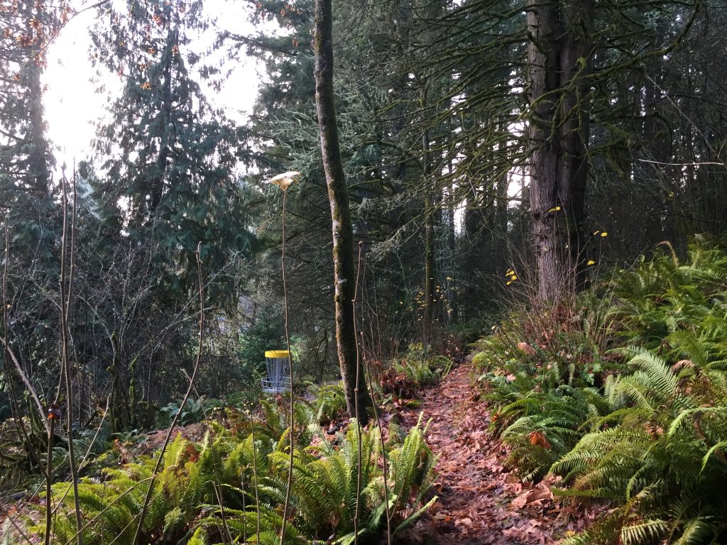
Abrams Park Disc Golf
This a collection of several trails that can make for a good walk. You can make loop walks if you don’t mind walking on the narrow shoulder of a road.
The stretch next to Reiman Road from Pioneer St to 23rd Pl is paved, with a decent climb to it. You then walk the sidewalk along 23rd Pl to the pedestrian path that runs between backyards south of 5th way. This connects the playground at the east, on 5th Way, to Heron Dr, with a side connection to Falcon Dr. East of the connector to Falcon Dr the trail is paved and level. West of there the trail turns to gravel.
Near Heron Dr, there is a trail that switch backs up the hill to North 11th Pl, and a trail that goes down the hill to Abrams Park, with a side connector to 7th Circle.
The trail to Abrams Park goes through a disc golf course setup on the hillside. This area includes many dirt trails for use of the disc golf course, or for exploring the hillside. At this point you have three choices that could form a loop. You could turn left along the park, through the dirt paths, and then go up the hill along the route of the petroleum pipeline, or turn right through the park and follow the Gee Creek Trail back to Heron Dr, or cross Abrams Park and then walk along Pioneer St to Reiman Rd (warning, a stretch of this walk along Pioneer St has a narrow shoulder along a busy road.)
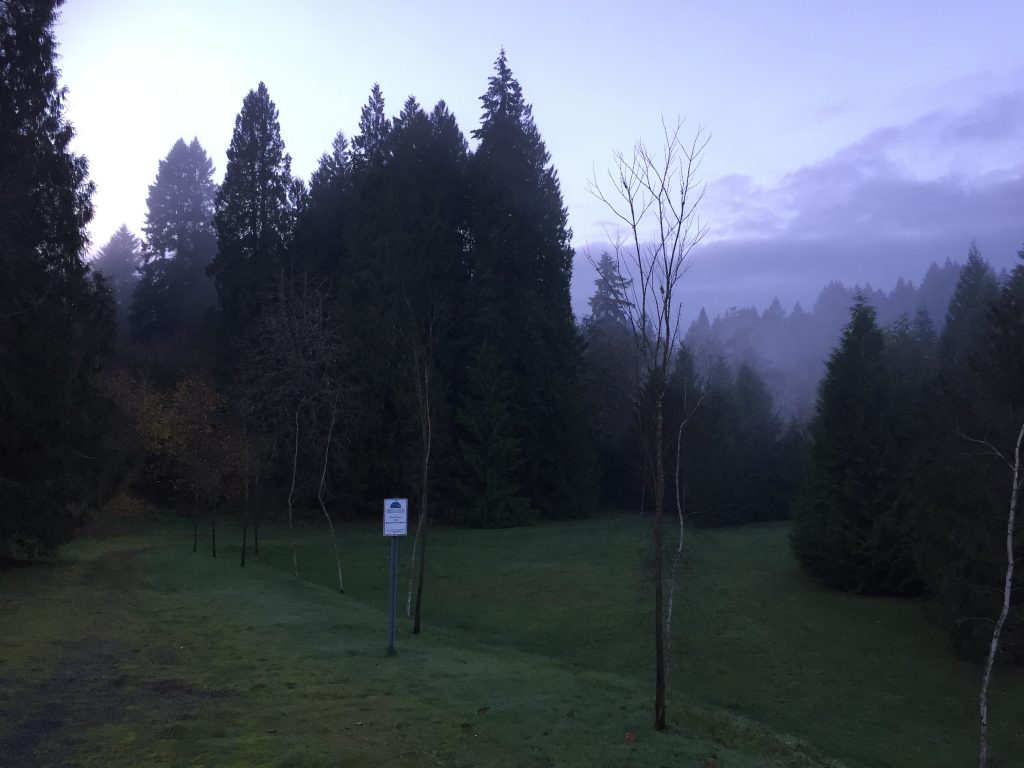
Gee Creek Trail
The Gee Creek Trail is a 3/4 mile path connecting from Pioneer St to Heron Dr. through Abrams Park. Heron Dr to the park is paved, but in two spots follows what appear to be private driveways, including a stretch passing right next to a house and out buildings now owned by the city. From the park to Pioneer St is dirt.
Gee Creek Trail from Pioneer St. 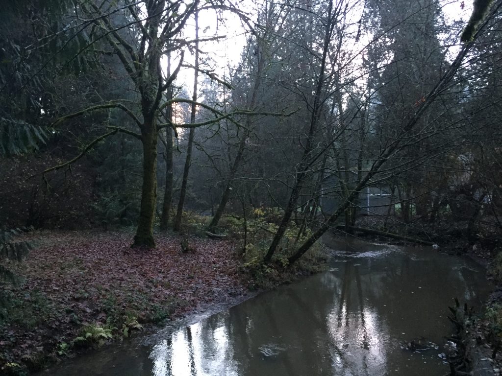
Gee Creek in Abrams Park 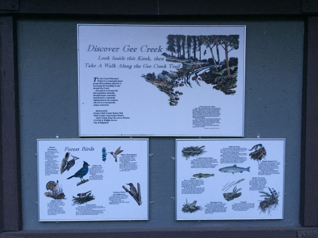
A number of great informational displays have been posted along the Gee Creek Trail in Abrams Park. 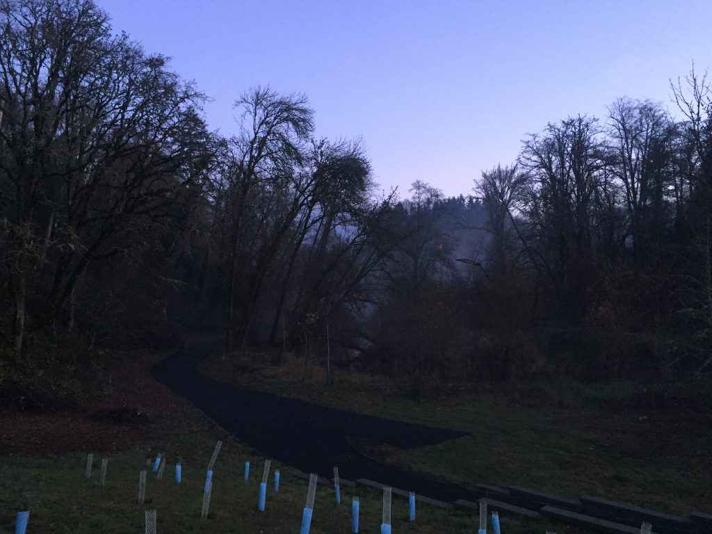
Gee Creek Trail from Heron Drive 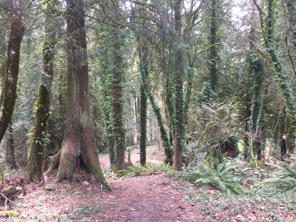

Ellen Davis Trail
Four parking spaces in the parking lot off NE Ross St are reserved for users of the Ellen Davis Trail. This trail goes two direction, though the east trail is not obvious from the parking lot. To the west the trail is a short (0.7 mile) connector to the Burnt Bridge Creek Trail. The trail is partially paved and partially dirt, with a stretch of grass pavers on the hill. Note that there are numerous side paths off this trail which lead to campsites where people are living in tents.
To go east on the trail, from the parking lot, follow NE Ross St. up the hill to the east. After NE 15th Ave, there will be a gravel path along the side of Ross St. This is the Ellen Davis Trail. This gravel path continues along Ross St, crosses as Ross becomes 54th St, then turns north on 22nd Ave. At the end of 22nd Ave it becomes a true trail up and over the hill, then skirting BPA to reach St. James Rd, passing through a nice forested area.
Ellen Davis Trail. 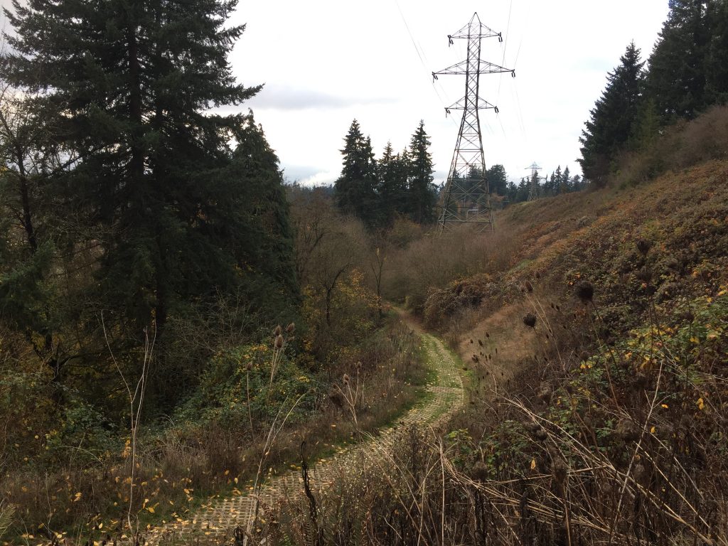
Ellen Davis Trail. 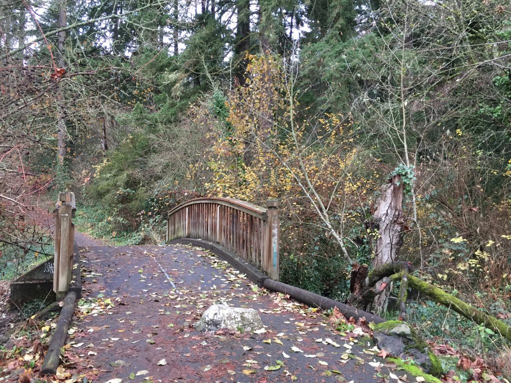
Bridge over Burnt Bridge Creek on the Ellen Davis Trail. 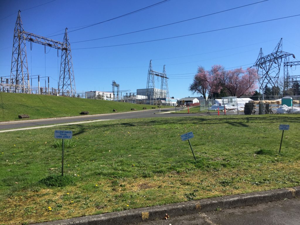
Dedicated parking for the Ellen Davis Trail. 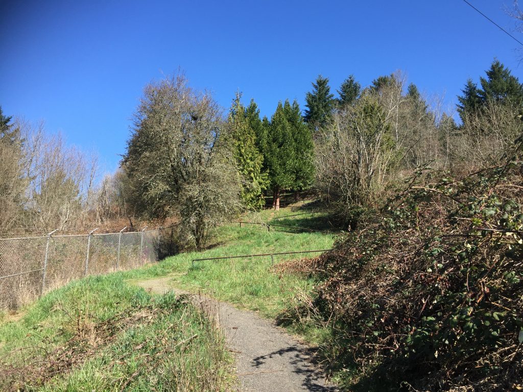
Ellen Davis Trail switchbacks up from NE 22nd Ave. 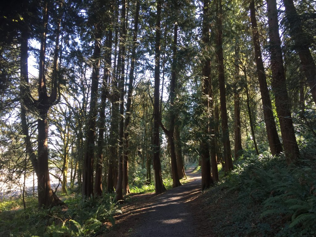
Ellen Davis Trail 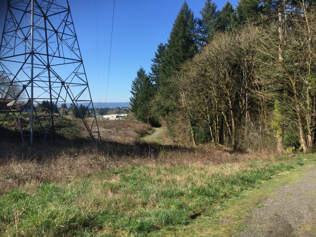
Ellen Davis Trail at NE 59th St. 
Ellen Davis Trail access at NE 59th St has NO PARKING. 
Ellen Davis Trail at NE St. James Rd.
Pioneer Canyon
Ridgefield has grown rapidly for the last several years. Many of the new developments have included multi-use trails that can make for good walks. The Pioneer Canyon neighborhood has several paved paths that weave between residences and the wetland area. Most, but not all, of the trails show up on Google Maps. If you live in the neighborhood, you could start out your front door and find a good loop along several of the trails. If you drive or ride to the neighborhood, there are many points to start into the trails.
Pioneer Canyon Trail near N Pioneer Canyon Dr. 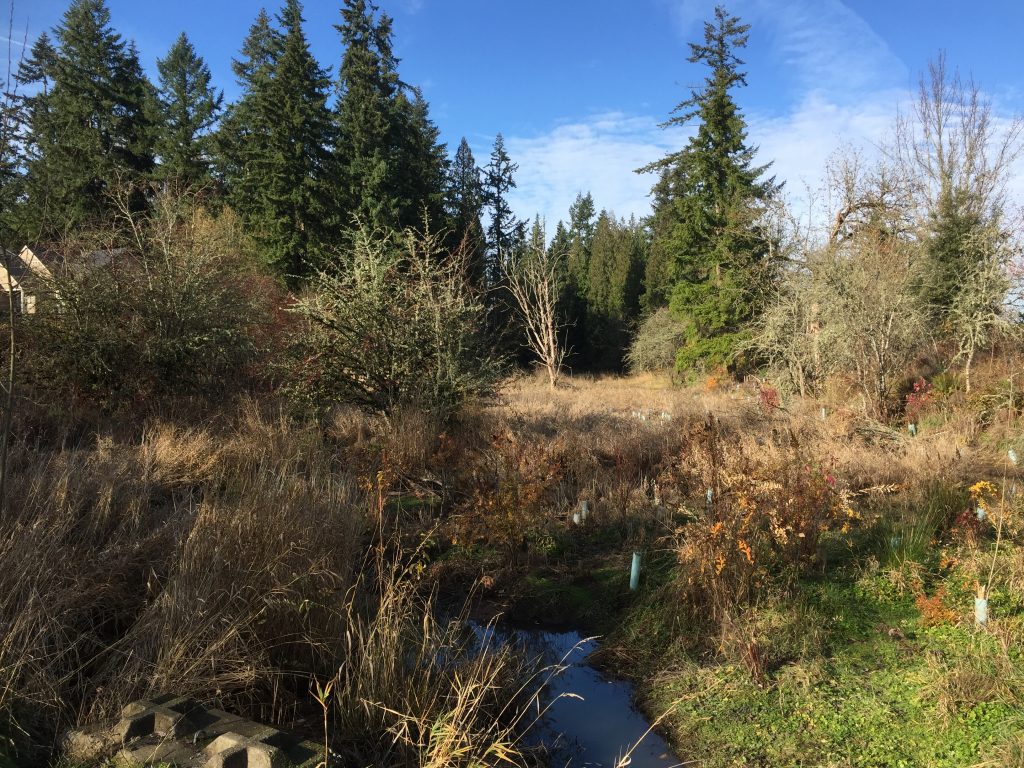
Pioneer Canyon Trail near N Horns Corner Dr 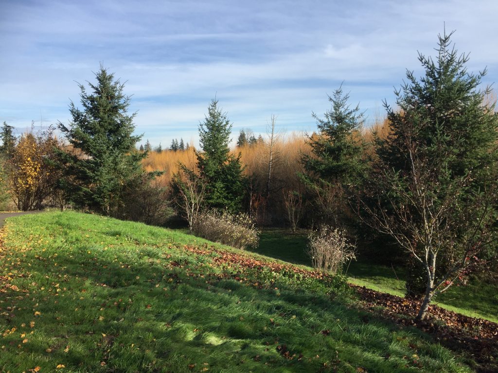
Pioneer Canyon Trail near N 3rd Circle. 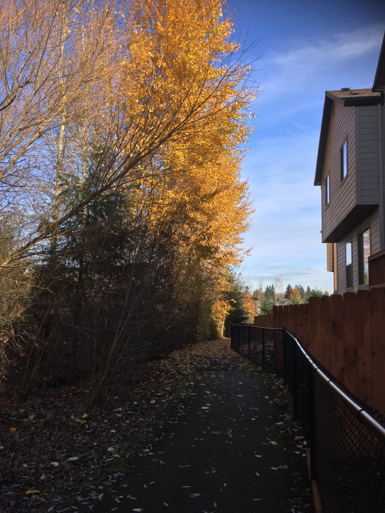
Pioneer Canyon Trail near 40th Ave. 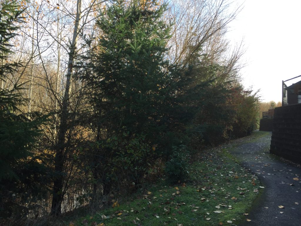
Pioneer Canyon Trail near 40th Ave. 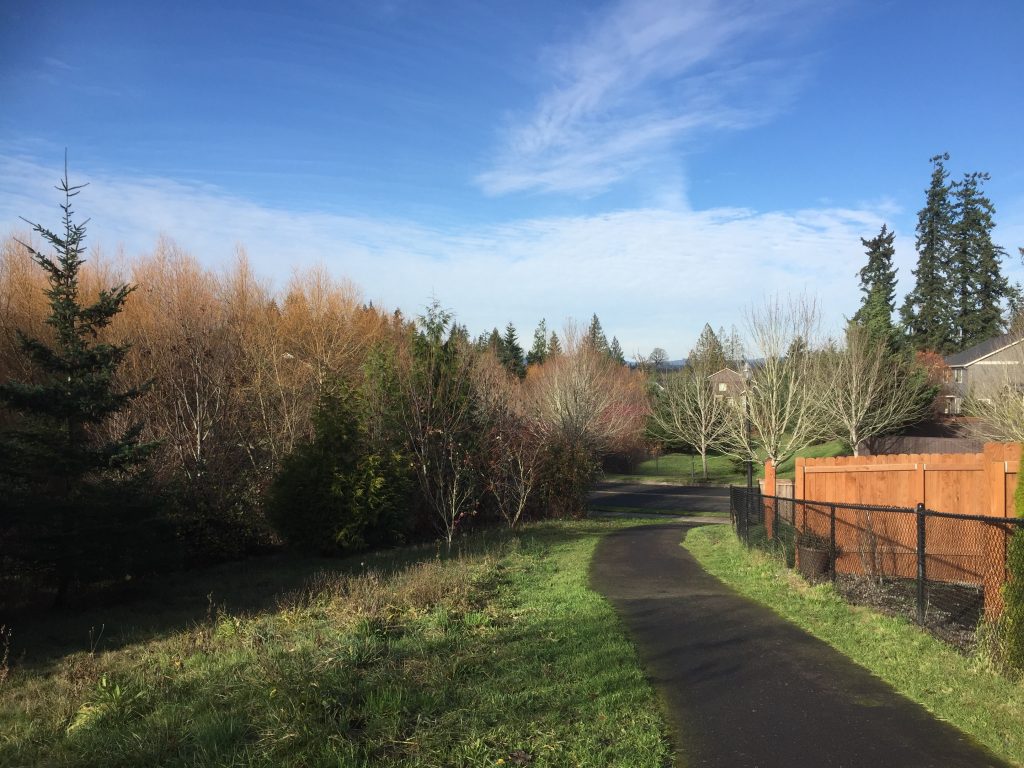
Pioneer Canyon Trail near N Pioneer Canyon Dr.
Tarbell Trail
Tarbell is a 20 mile loop trail which connects to numerous other trails and logging roads for a wide variety of hiking, biking and horse riding options. Some of the trails are very easy walks (such as the lower stretch of the Tarbell Trail near Rock Creek Camp) while others are very rough, steep and challenging. I suggest that you carefully study the maps at trailforks.com before trying these trails for the first time.
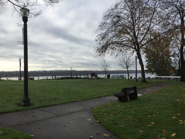
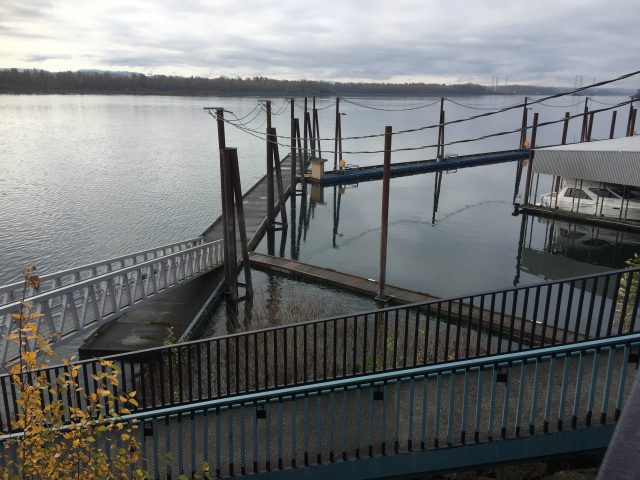
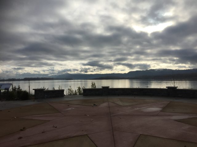
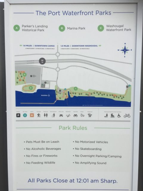
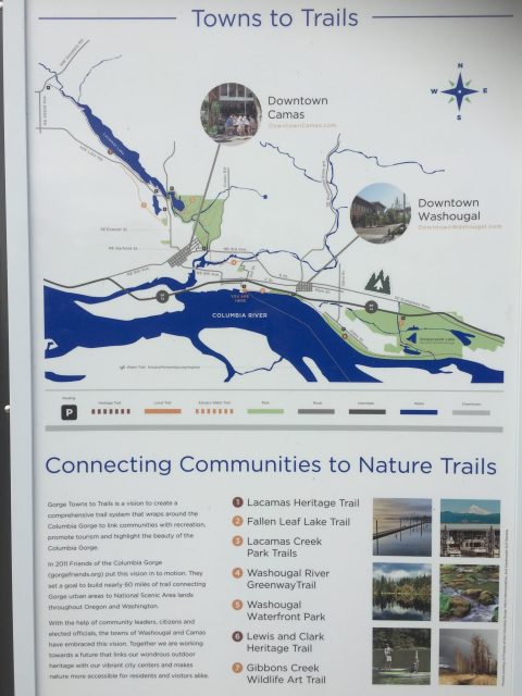
Washougal Waterfront Park & Parkers Landing
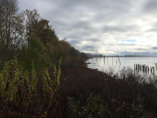
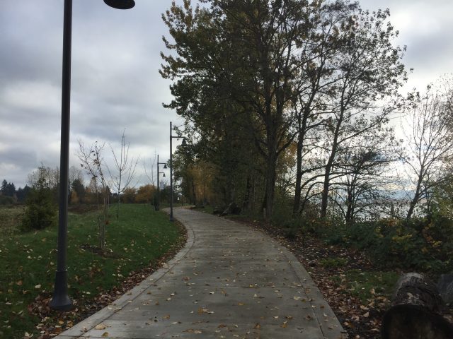
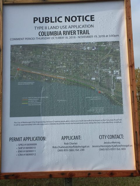
Three parks create an area for a shoreline walk. Parkers Landing Historical Park includes displays about the history of the site, including works of the Chinook people. Next to that is the Marine Park with memorials to Washougal soldiers lost in foreign wars. You can then walk east to the Washougal Waterfront Park which includes a wide concrete walking path. there are side trails from the walking path for a yet to be developed nature trail along the river. Plans are also in the works to build a .64 mile multi-use path from the east end of the park to connect with Steamboat Landing Park which will then provide a completed trail connection to Captain William Clark Park and to Steigerwald Lake Wildlife Refuge.
There are three parking lots that can be used for these parks. 1) At the west end, park in the Port of Camas-Washougal Parking lot at S A St and S 1st St; 2) Park at the Washougal Waterfront Park on S 2nd St; or 3) continue east on Frontage Rd and park in the lot at the east end of the Waterfront Park.
Behrens Woods
A small wooded park of meandering dirt trails.
Read an article in The Columbian by Scott Hewitt.