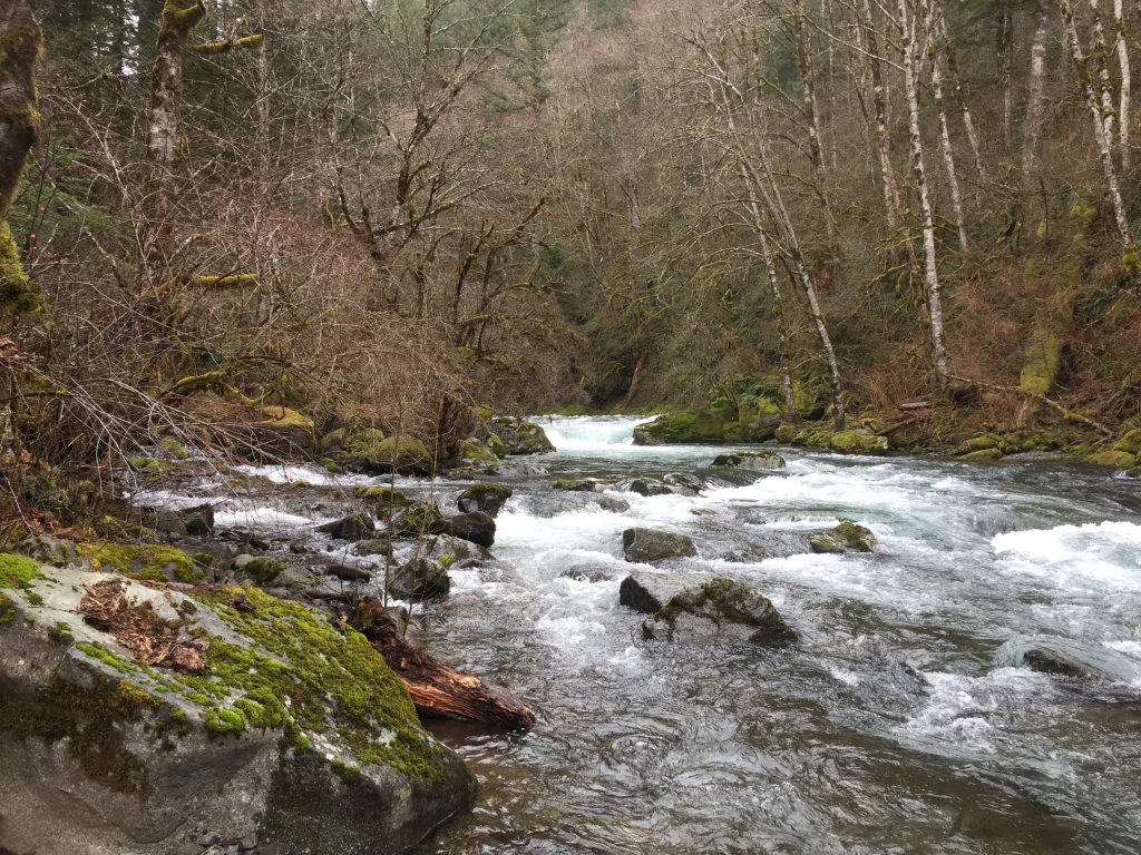
Sunset Falls on the East Fork Lewis River has a Day Use Area ($5 day use fee) and Campground. The trail from the Day Use Area parking lot to the falls is short, but you can easily extend a hike by walking the Forest Service roads and exploring side trails. When I was there, I followed NF-42 about 1-1/2 miles along the river and explored several short side trails from the road to the river.
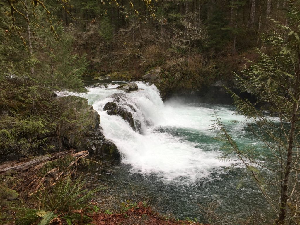
Sunset Falls on East Fork Lewis River
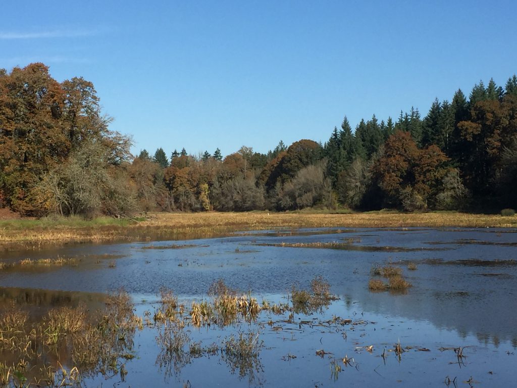
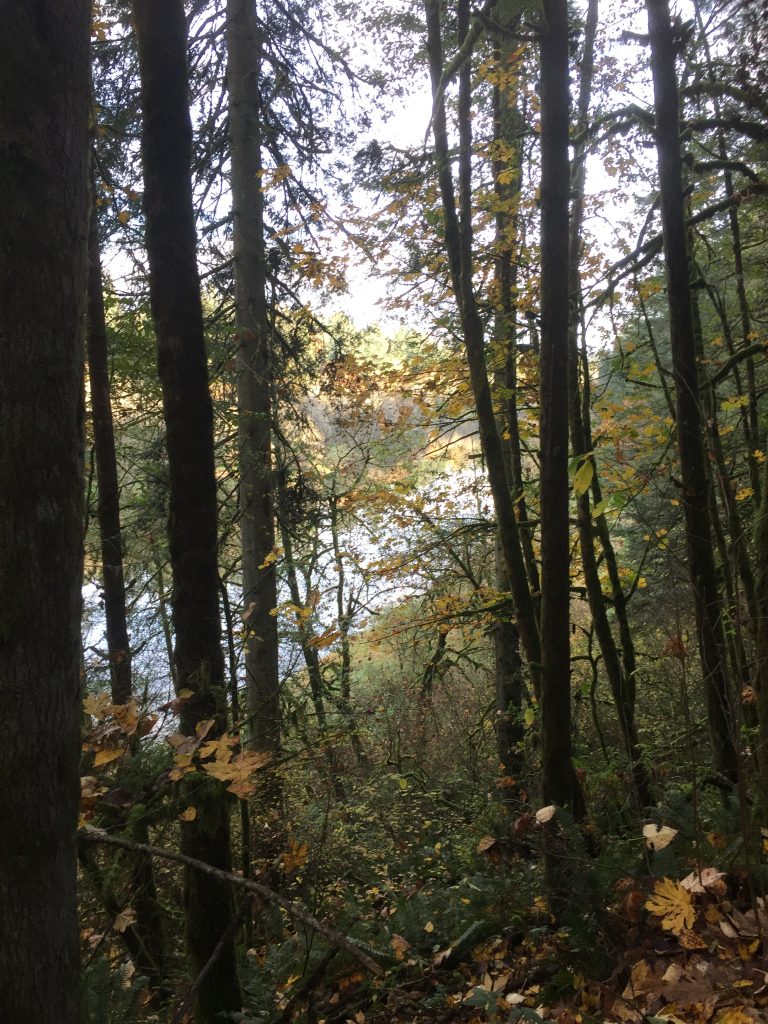
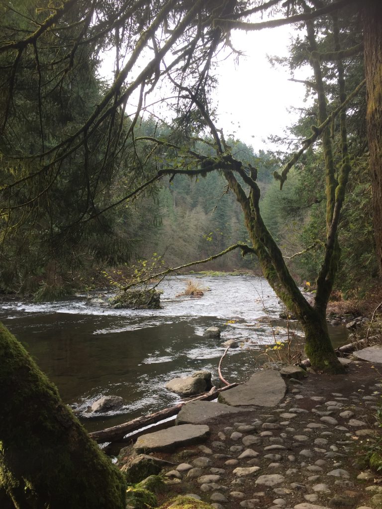
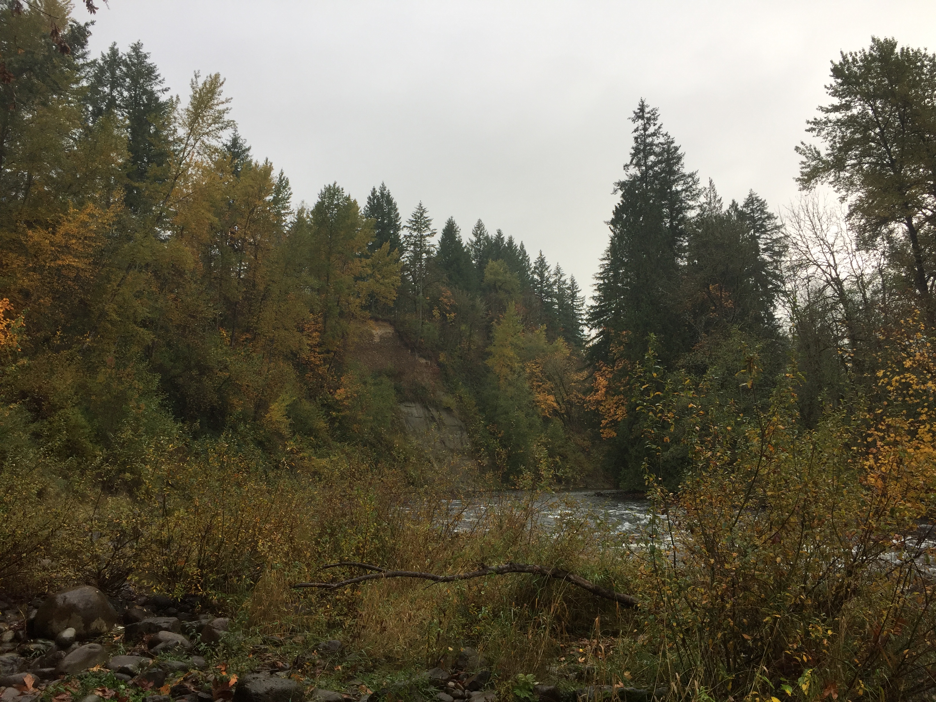
East Fork Lewis River
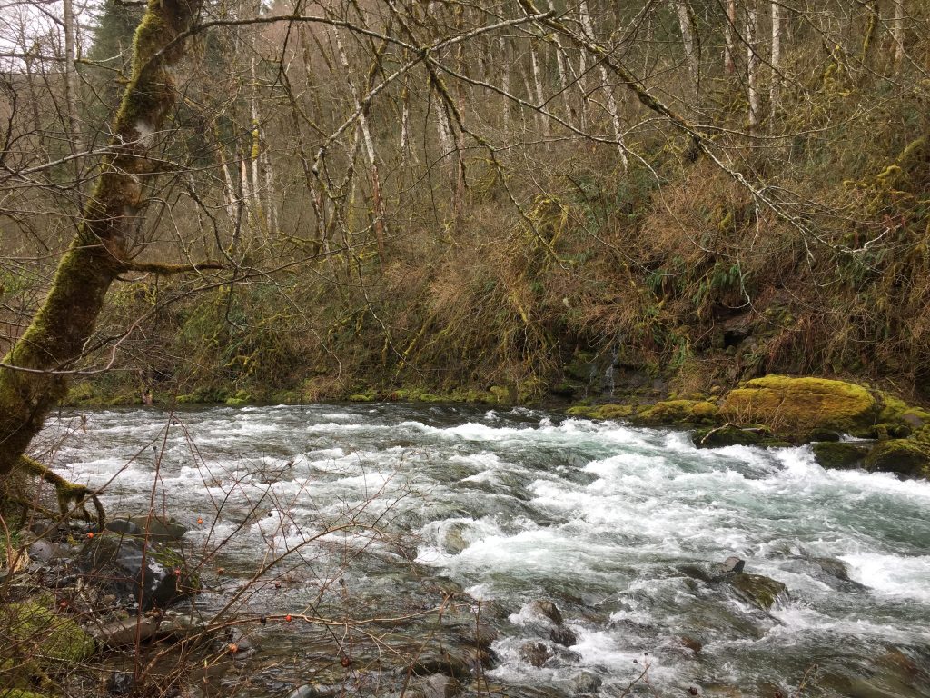
East Fork Lewis River
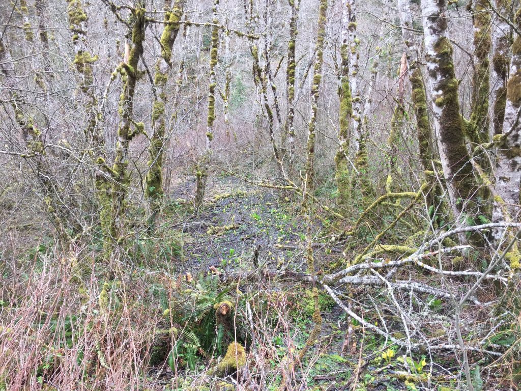
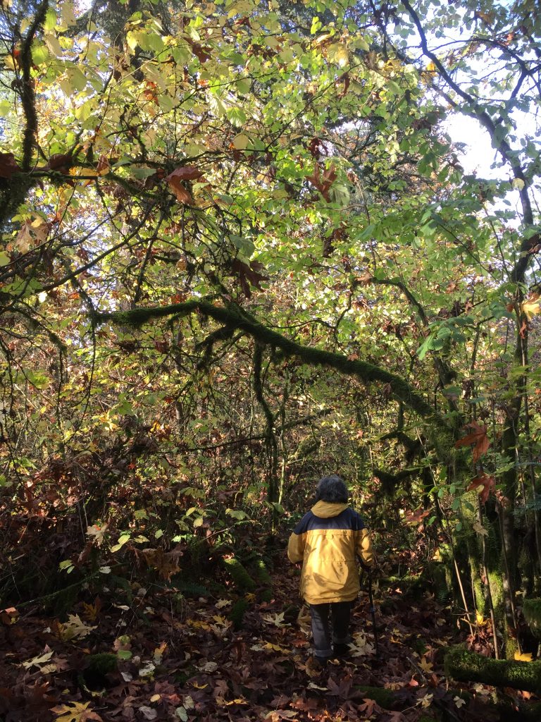
Swamp cabbage growing near the East Fork Lewis River.
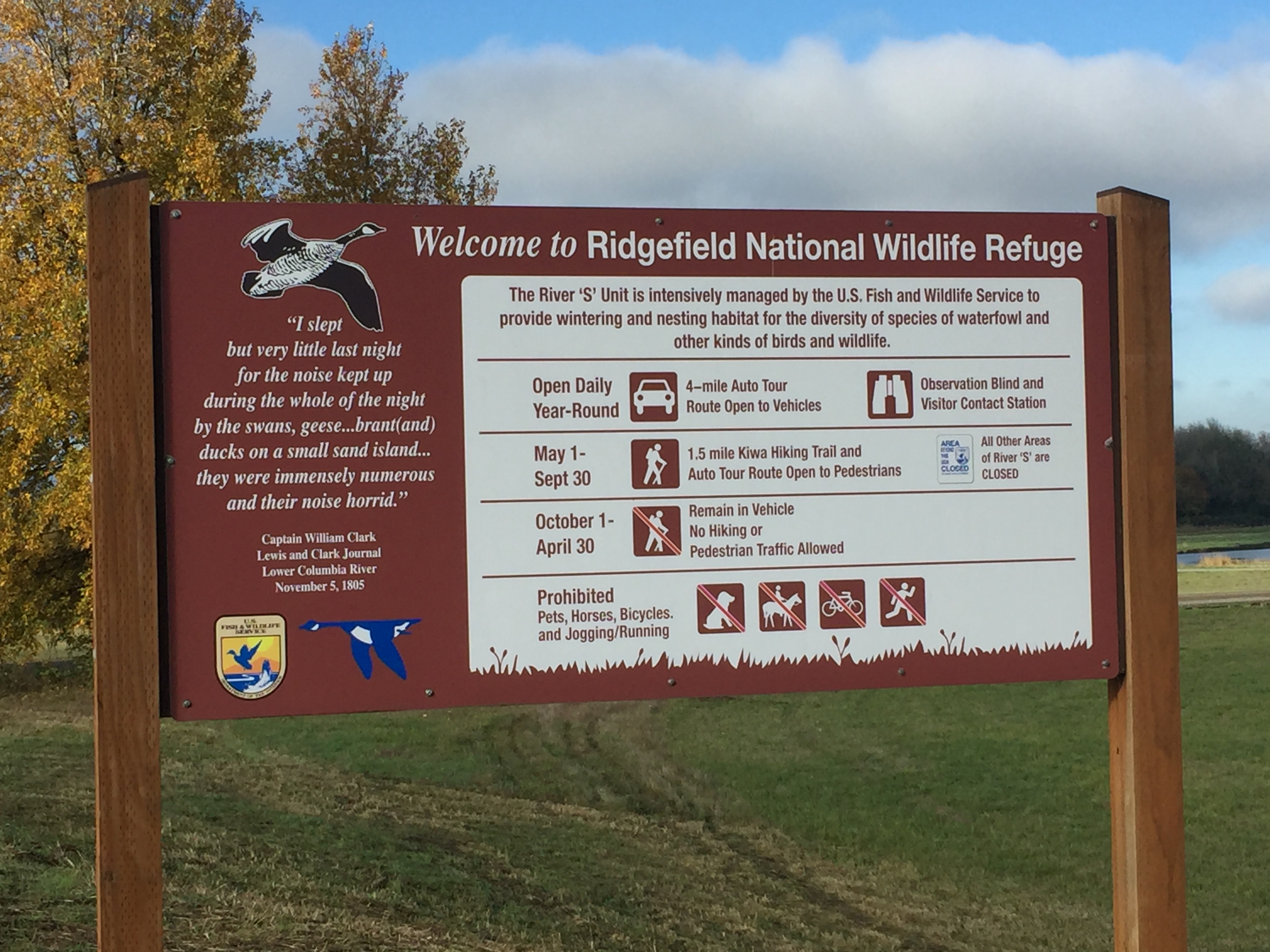
The Ridgefield National Wildlife Refuge South Unit located just south of downtown Ridgefield includes a driving tour and two trails. Keep in mind that the refuge is primarily managed for the benefit of wildlife, so some areas are closed to access all year, and other areas are closed during certain seasons.
The main attraction for visiting the South Unit is the 4.2 mile driving tour. When you stop at the welcome center to make payment, it’s worthwhile to pick up one of the audio CDs at the information kiosk, and play the CD in your car while driving the route. I also suggest using an electric vehicle and driving very slowly. Allow yourself a couple hours to make the tour, so that you have time to stop and watch.
During May to September you can walk the route. Note that Bicycles, jogging, pets and horse riding are not allowed in the refuge as these can disrupt the wildlife.
There are two places on the drive to stop and get out of your car. The first is a short walk to a viewing blind, where you can observe wildlife in the neighboring grasslands. I was there last spring and was able to watch the sparrows up close that were nesting in the bird blind. Last time I visited there, a couple deer seemed to treat it as an opportunity to observe the humans.
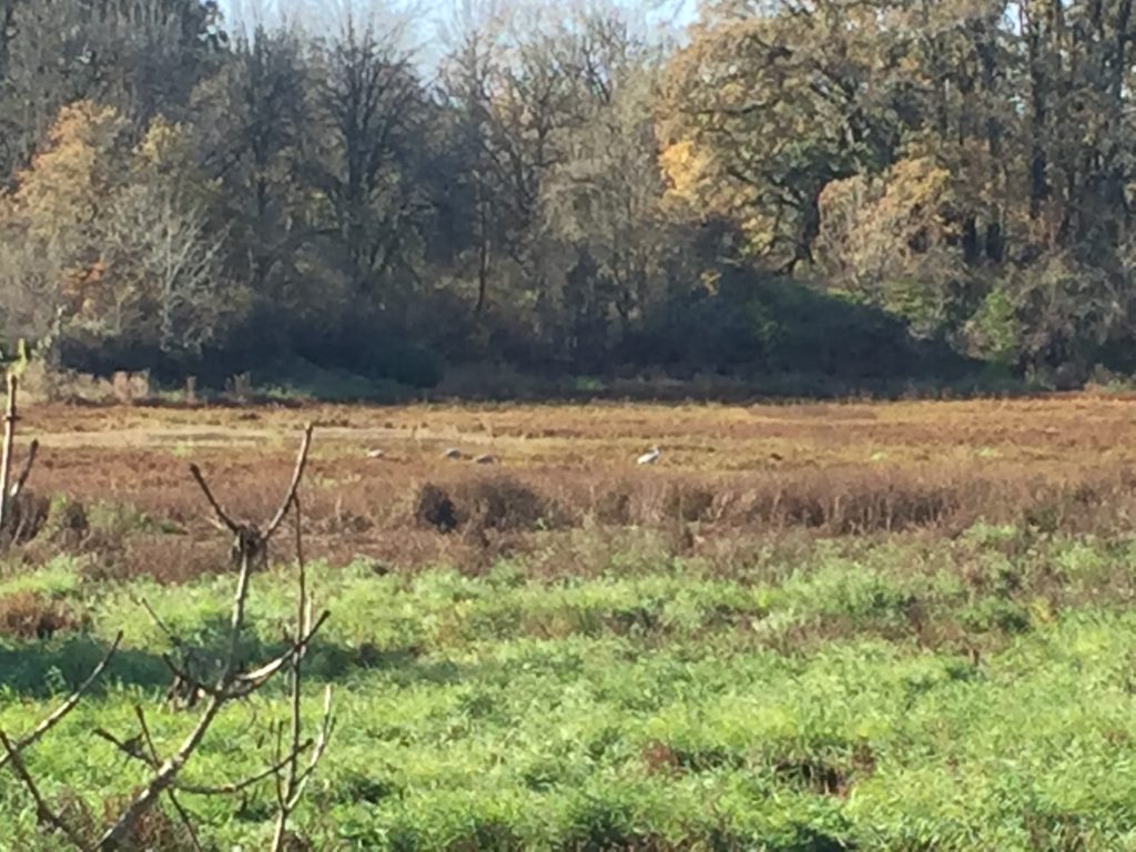
The second stop (open May 1 to September 30) is the Kiwa Lake Trail. This trail loops about a mile and a quarter through a grassy wetland giving you opportunity to observe the birds and enjoy nature. This area is also open to water fowl hunting during hunting season.
For the latest updates on work being done, and to check if trails or access is closed for work, see https://www.refuge2020.info/
Ridgefield National Wildlife Refuge South Unit
Ridgefield National Wildlife Refuge South Unit welcome center
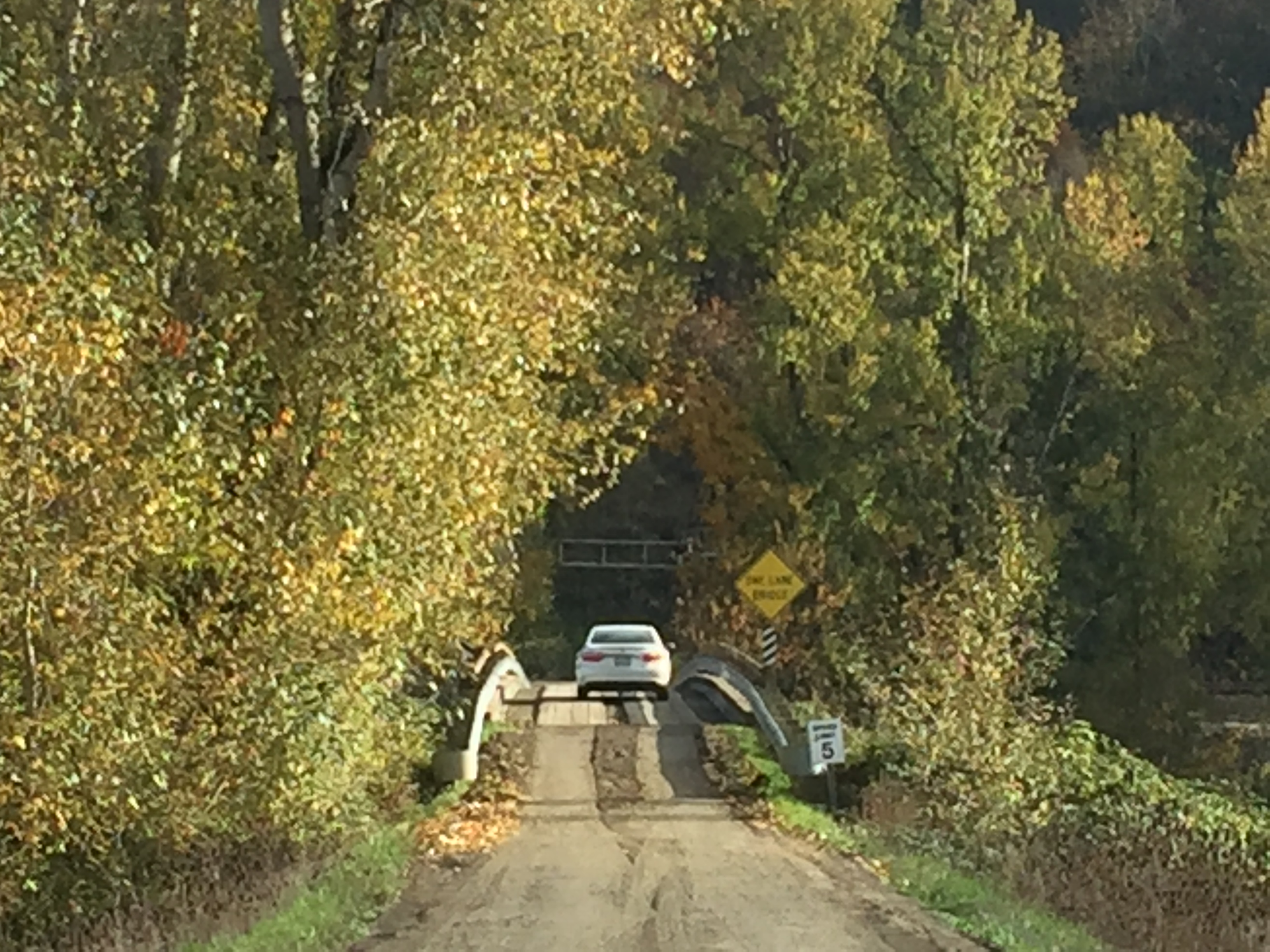
The bridge to Ridgefield National Wildlife Refuge South Unit
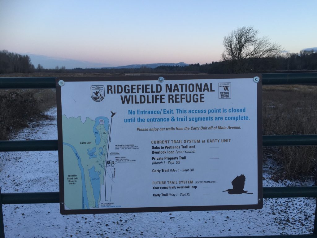
The Ridgefield National Wildlife Refuge Carty Unit located just north of downtown Ridgefield includes several nice hiking trails. Keep in mind that the refuge is primarily managed for the benefit of wildlife, so some areas are closed to access all year, and other areas are closed during certain seasons.
The Cathlapotle Plankhouse was built as a reconstruction of a traditional native structure and provides a great educational resource. Trails north of the plankhouse wind through forest and riparian areas. This is a popular bird watching area, and for good reason. Decades ago I used to walk out this trail to sit and watch the beavers as they worked in the large wetland area. That wetland has now largely transformed into grassland and the beavers have moved on.
There are about 2 miles of trails in the area north of the Plankhouse which wind through the forest and around Lancaster lake. North of the refuge is land managed for resource conservation, so some trails are closed to access at that point. Be aware also that there is Poison Oak in the area, and some trails may be closed to manage vegetation.
Within the next couple years, a trail connecting the Carty Unit entrance to downtown Ridgefield will be completed, and a connecting trail through the unit, around the west side of Carty Lake connecting to the Port of Ridgefield will be completed. This will make for a nice approximately 2 mile loop trail that can be walked from Ridgefield through the refuge.
For the latest updates on work being done, and to check if trails or access is closed for work, see https://www.refuge2020.info/
Ridgefield National Wildlife Refuge Carty Unit
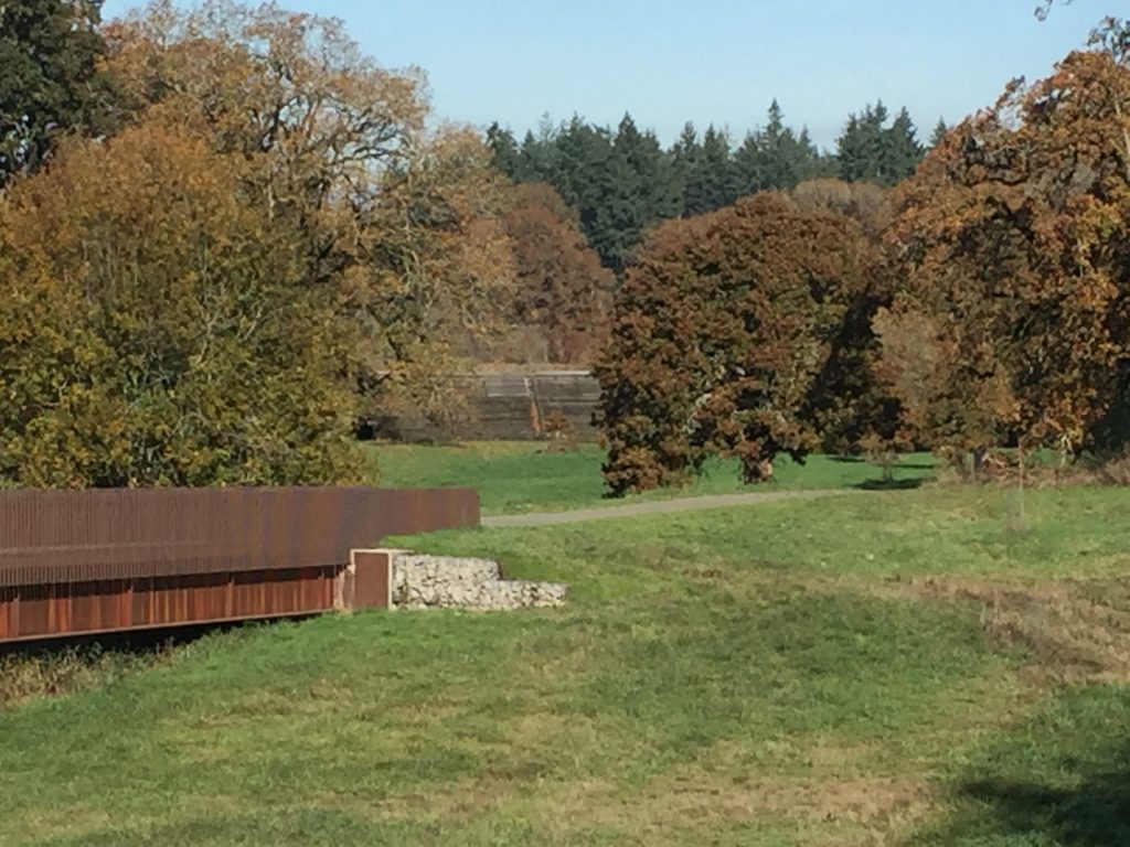
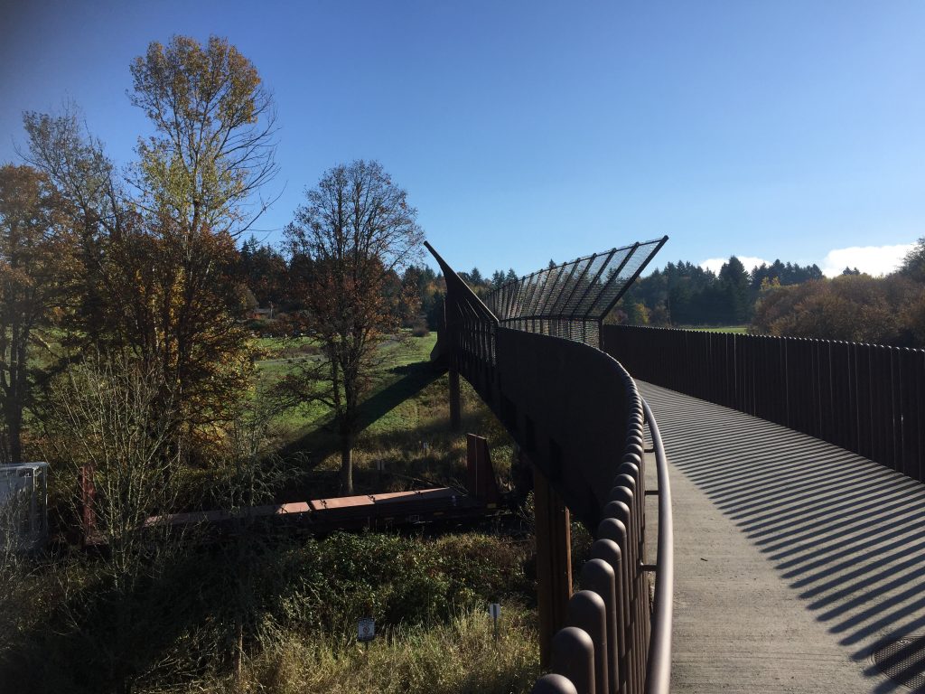
Bridge to Ridgefield National Wildlife Refuge Carty Unit
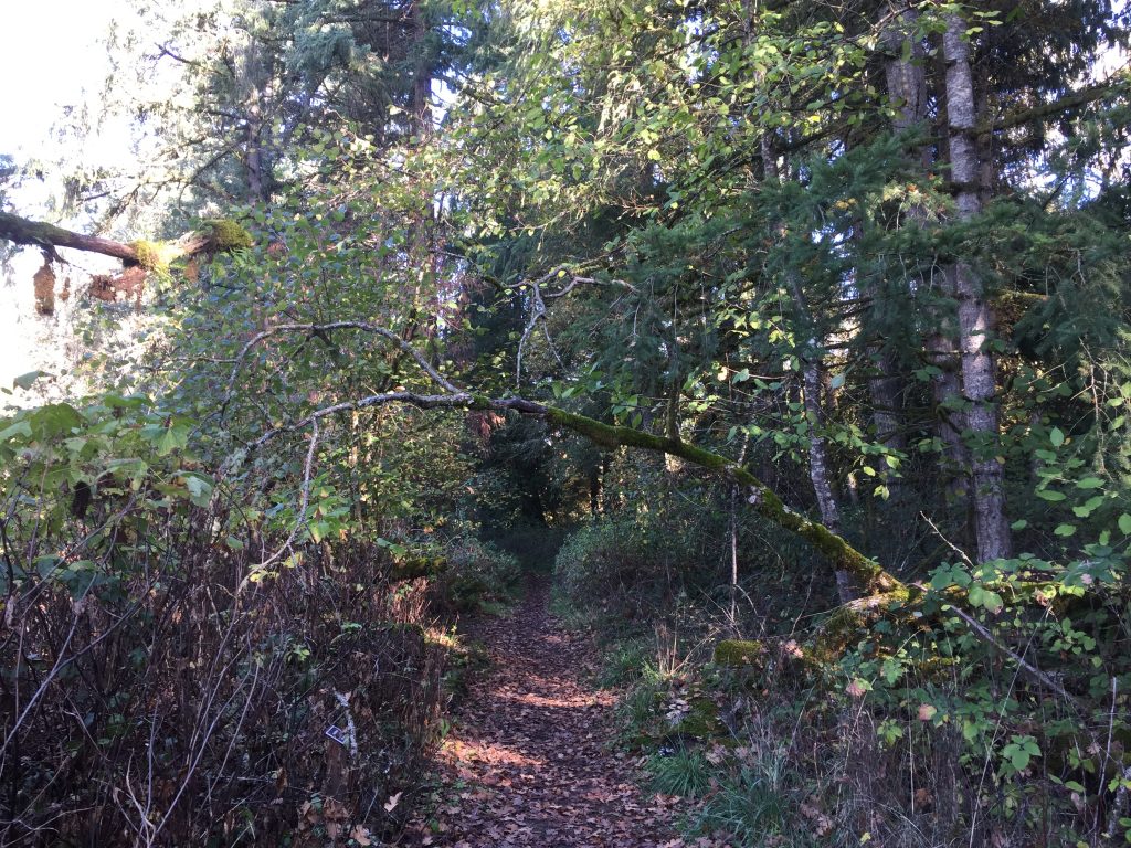
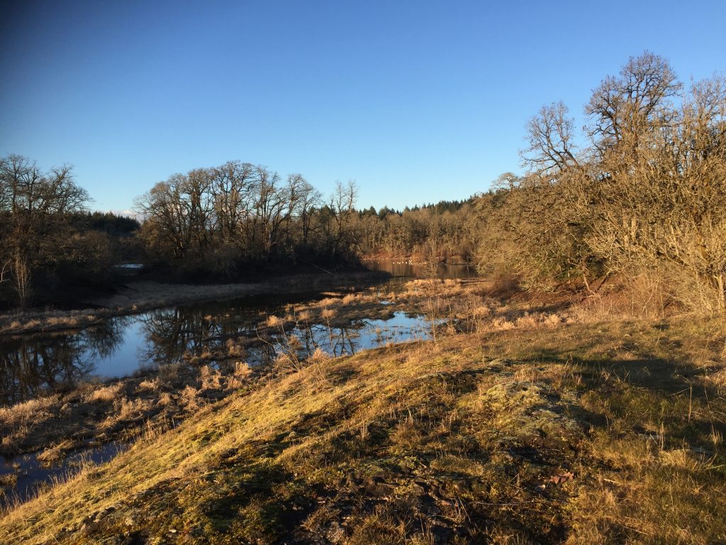
Ridgefield National Wildlife Refuge Carty Unit
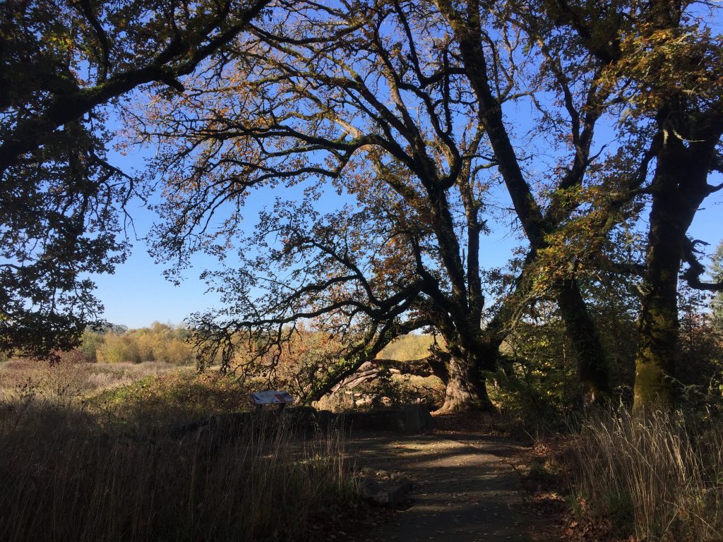
Big old Oak tree at Ridgefield National Wildlife Refuge Carty Unit
Ridgefield National Wildlife Refuge Carty Unit
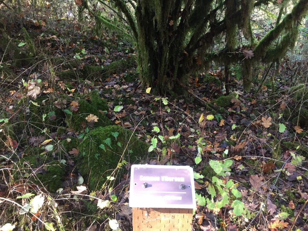
Ridgefield National Wildlife Refuge Carty Unit trails include markers to identify plants and trees.
Ridgefield National Wildlife Refuge Carty Unit
Ridgefield National Wildlife Refuge Carty Unit
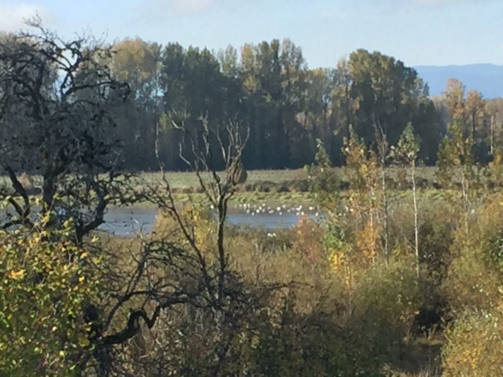
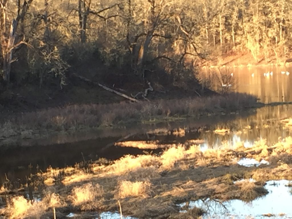
Ridgefield Wildlife Refuge Carty Unit – swans
Ridgefield Wildlife Refuge Carty Unit – swans in the distance
Ridgefield National Wildlife Refuge at the Port of Ridgefield
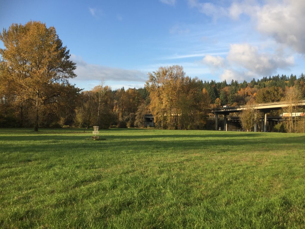
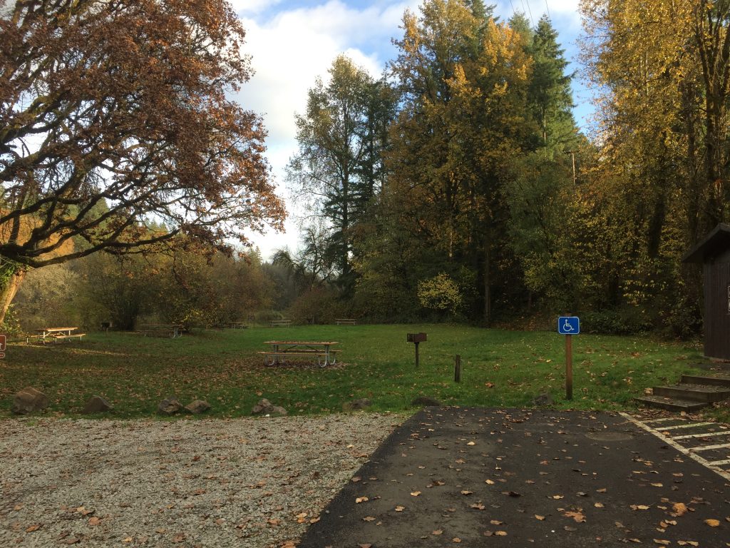
The park includes a camping area, and a popular swimming hole on the East Fork Lewis River. There are also a few trails to explore. One trail parallels the freeway, offering a good climb. A loop can be walked. If you start at the parking Day Use parking area, you can walk up the road a short distance to the trail on your right. Take that trail up a climb, over the hill, then down to cross the road, through the woods to the small waterfall. From there, go down to the river and follow the river trail back to the Day Use area. You can extend the loop by following trails up to the campground area, and out into the neighboring Clark County Legacy Lands (the neighboring fields).
The state park is bordered by land owned by Clark County as part of their Legacy Lands program. Some of this land is across the river from the park and more is up river from the park.
Trails in the park are mapped on trails.com. The map embedded below shows an approximation of the location of trails within the park.
East Fork Lewis River, just upriver from Paradise Point State Park.
Paradise Point State Park Disc Golf course
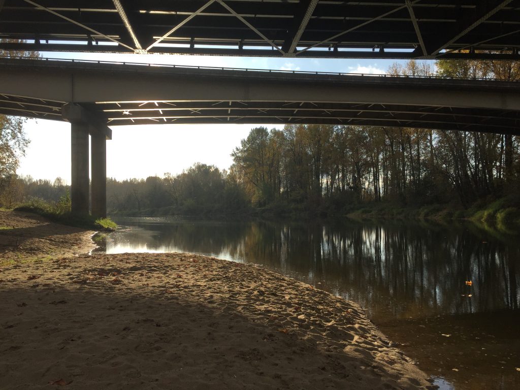
Paradise Point State Park, East Fork Lewis River under I-5.
Paradise Point State Park, going east. Cross this picnic area to a trail along the East Fork Lewis River.
East Fork Lewis River from the road into Paradise Point State Park.
Paradise Point State Park, trail parallel to I-5.
Paradise Point State Park, trail parallel to I-5.
Paradise Point State Park, view from trail parallel to I-5.
Clark County Legacy Lands next to Paradise Point State Park
A trail in Paradise Point State Park
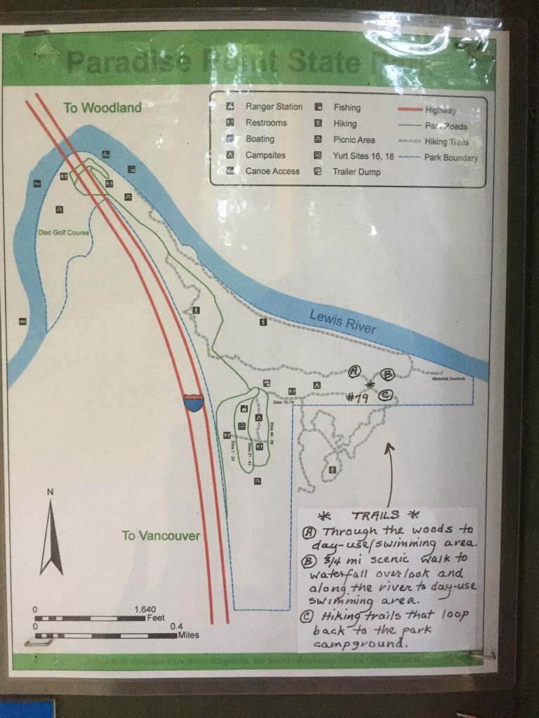
Map of trails posted at Paradise Point State Park campground.
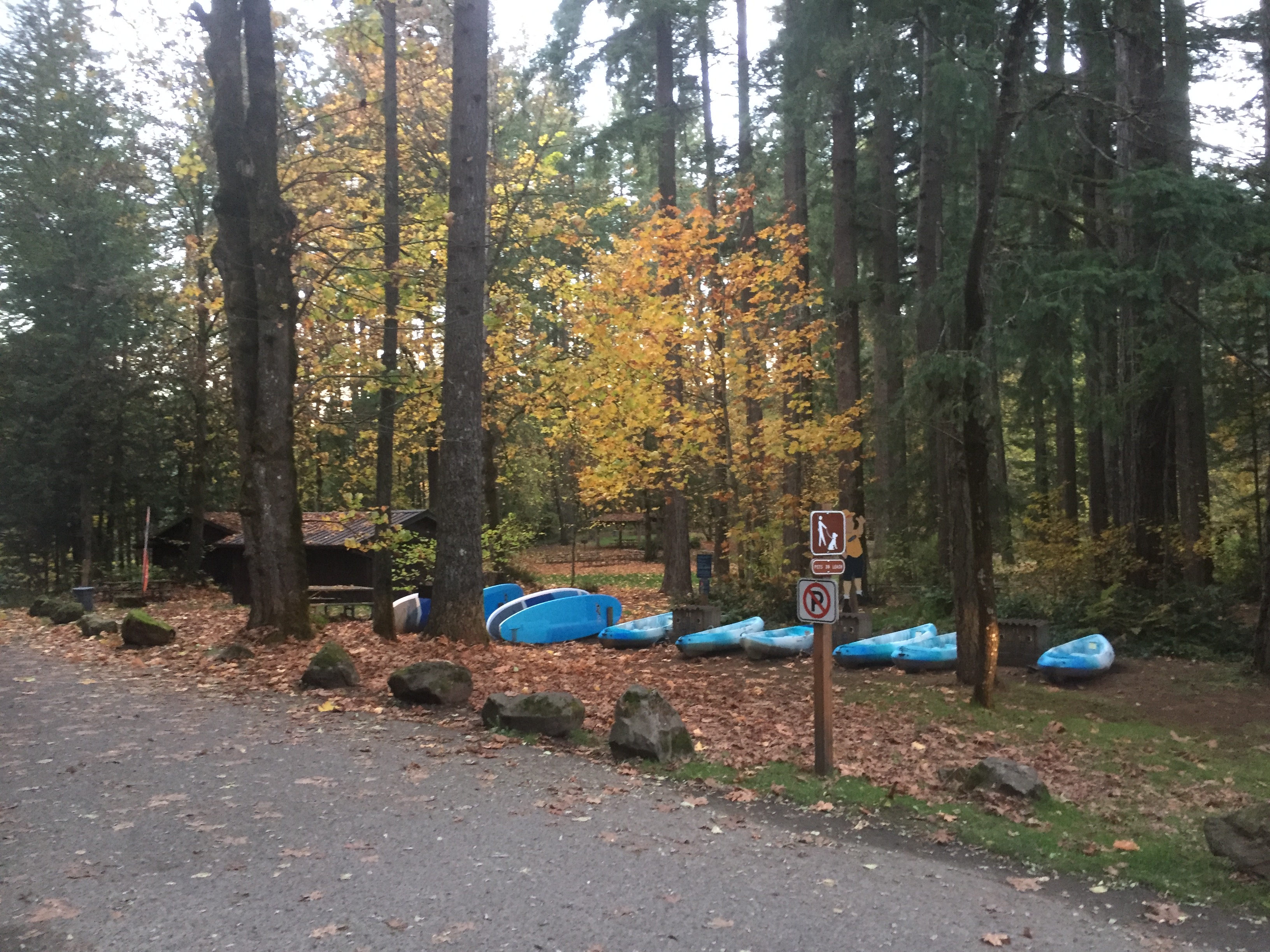
This is one of my favorite places to go for a good walk. Several trails loop around the park, allowing you to not only make a loop hike, but to loop around the Lake three times without walking the same trails twice.
Most of the outermost trails are open to horses and mountain bikes, and are also easy trails for walking. The trails closest to the lake are closed to horses and bikes, but can also be difficult to maneuver if you have any trouble with rough terrain.
The State Park charges a day use fee or Discover Pass.
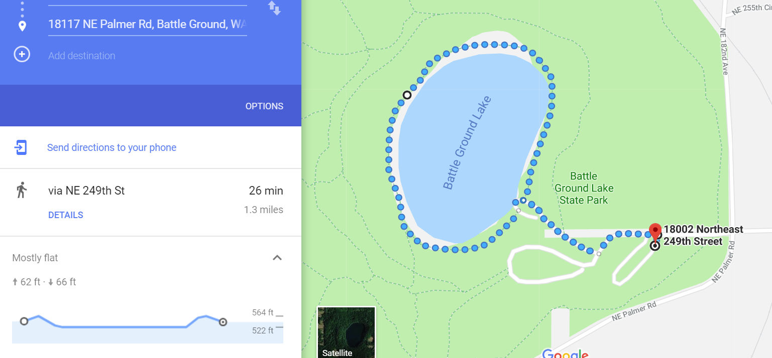
The smallest loop around the lake will take you about a mile and a quarter (including the walk from where you park), and the largest loop is about 2-1/2 miles. The park trails are pretty well mapped in Google Maps.
In addition to trails around the lake, there is the Chelatchie Rail Trail, a 1 mile paved path following the railroad to the east of the park.
This park includes great paths to walk the lakefront, including sandy beeches. If go south, you can walk anther 2-1/2 miles across to Frenchman’s Bar and explore the Columbia River beeches there. To the north is a trail through the forest, which can make for a shaded walk on a sunny day, including a couple side trails.
If you park at Vancouver Lake Regional Park you will need to pay the $3 parking fee. If you just want to walk the trails, you can instead either park at one of the open parking areas to the south of the Park, near the turn of Lower River Road, or go north 1-1/2 miles past the main park entrance where there is a trail on the right.
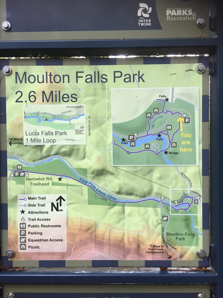
Moulton Falls Regional Park includes river access to the East Fork Lewis River, a popular swimming hole, several dirt trails to explore and connections to the Hantwick Rd Trail and Bells Mountain Trail.
Moulton Falls Park
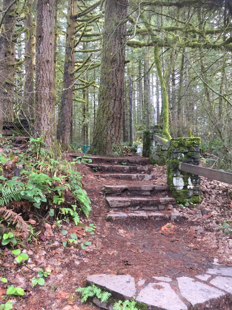
Some trails at Moulton Falls Park include stone steps.
Bridge over Big Tree Creek at Yacolt Falls.
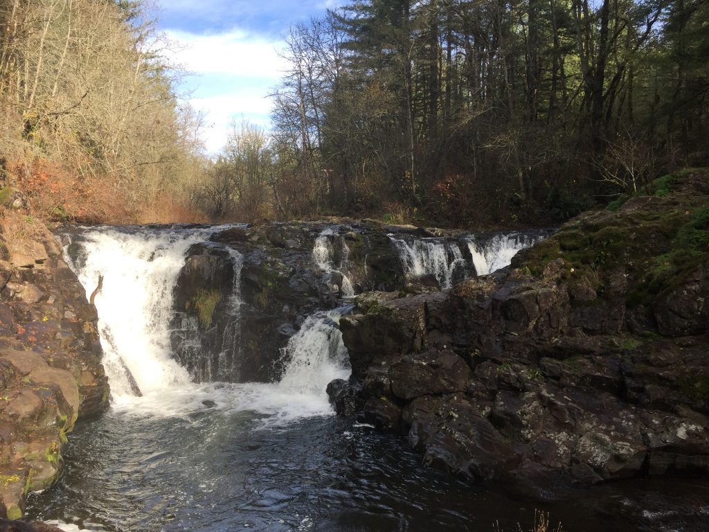
Yacolt Falls at Moulton Falls Regional Park
A Trail at Yacolt Falls at Moulton Falls Regional Park
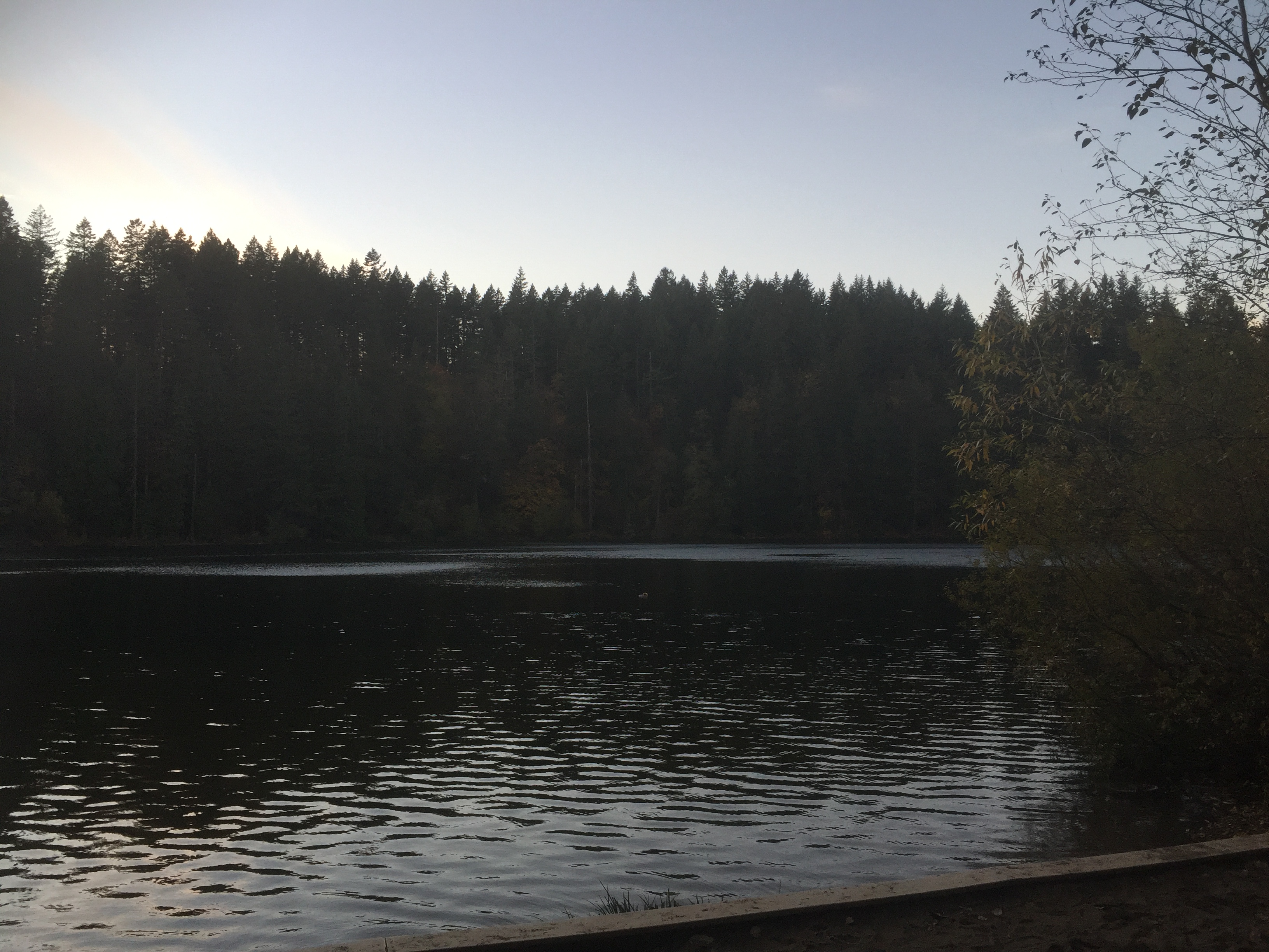
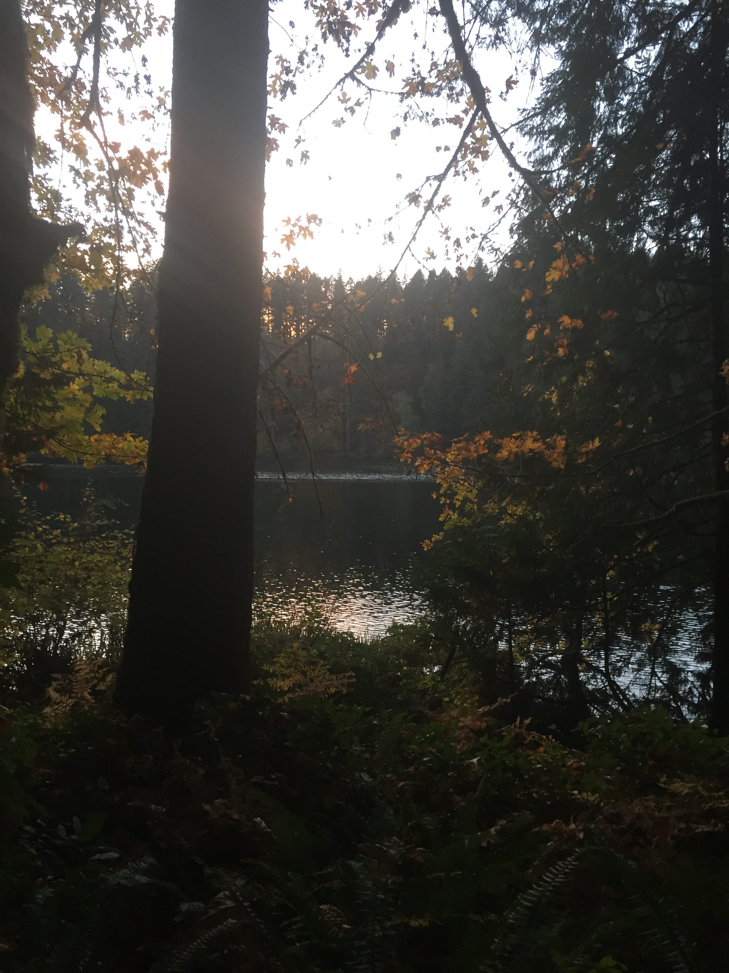
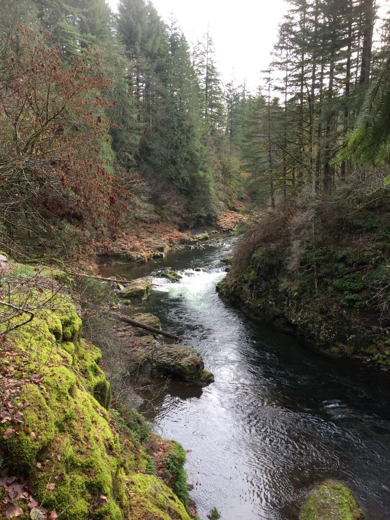
East Fork Lewis River at Moulton Falls Regional Park
East Fork Lewis River at Moulton Falls Regional Park
East Fork Lewis River at Moulton Falls Regional Park
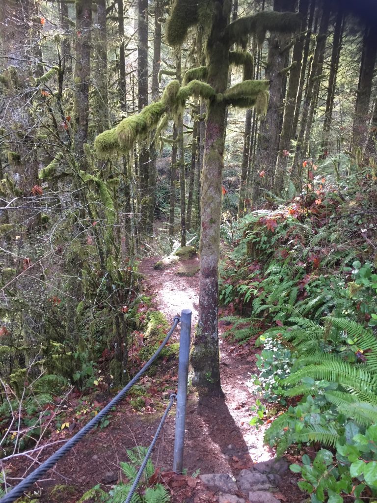
A trail up the East Fork Lewis River at Moulton Falls Regional Park
East Fork Lewis River at Moulton Falls Regional Park
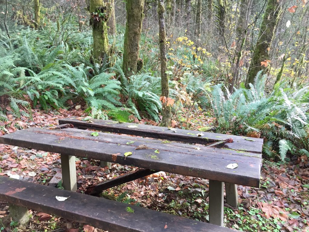
Moulton Falls Regional Park includes many picnic tables. A few need repairs.
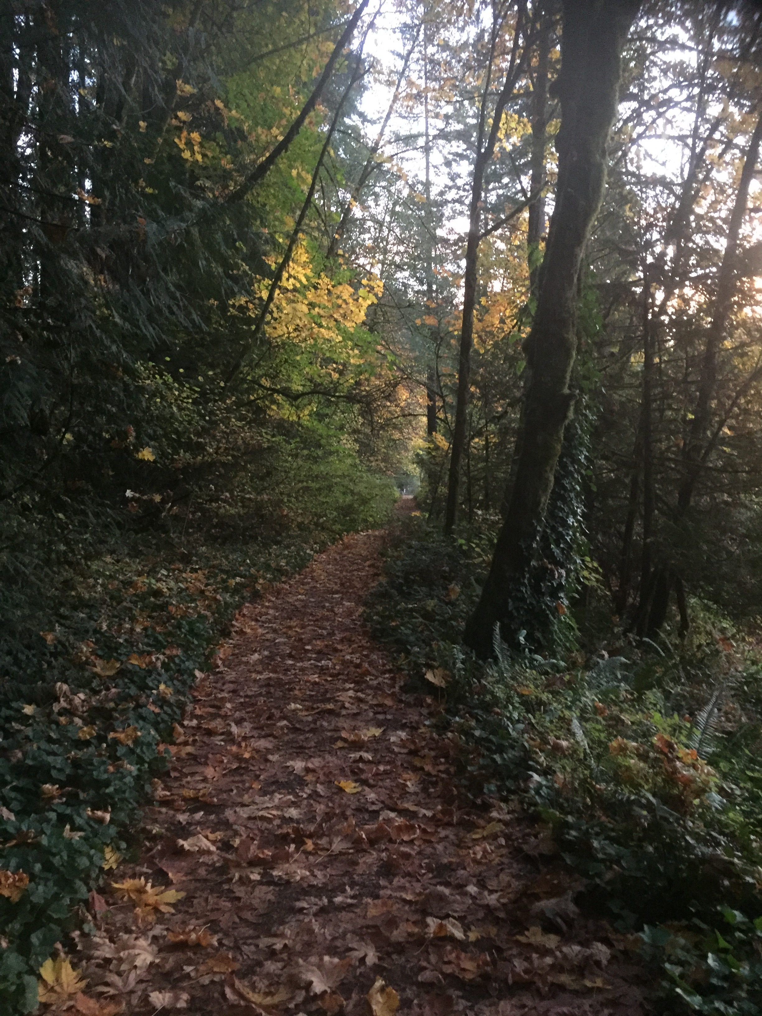
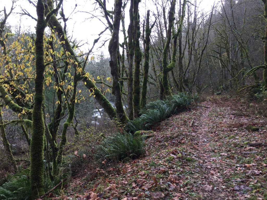
The park has several wide heavily used trails, plus many side trails.
Here is a suggestion for a nice loop hike.
Start at the upper parking lot next to Sunset Falls Rd (which is usually less crowded than the lower parking lot).
Take the trail to the right of the park map, to cross Lucia Falls Rd to Yacolt Falls on Big Tree Creek (use the crosswalk, and beware of fast moving traffic).
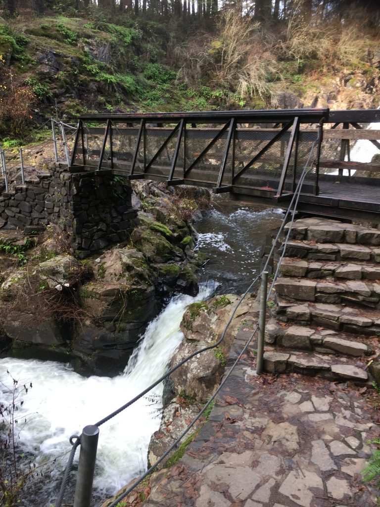
Cross the bridge over Big Tree Creek, and enjoy the view of Yacolt Falls. The bridge, curiously, was made from a naval ship’s gun turret and will be swung open during flood season so that logs coming down the creek do not hit it.
Turn left to take the trail down Big Tree Creek to where you will cross Lucia Falls Rd.
After crossing the road at the crosswalk, turn left to take the pedestrian bridge across the creek. Follow that trail along the East Fork Lewis River to a trail up the hill.
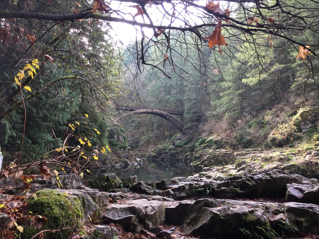
You can then take the trail to the arch bridge. At the bridge, you can turn back, or you can continue on to follow other trails. a) Turn left at the far side of the bridge to follow a rough trail up river a short distance to view another waterfall (about .4 mile). b) Continue straight and follow the main trail to Hantwick Rd. (2-1/2 miles) c) Continue along the main trail and then turn left onto the Bells Mountain Trail (.4 mile beyond the bridge, 8.7 mile long Bells Mountain Trail connects to numerous other trails and logging roads.)
Turning back at the bridge, you can either continue up the main trail back to the parking lot, or you can turn right, and then left for a side trail the then reconnects with the main trail to the parking lot. This loop without the side trips will be about about 2/3rds of a mile.
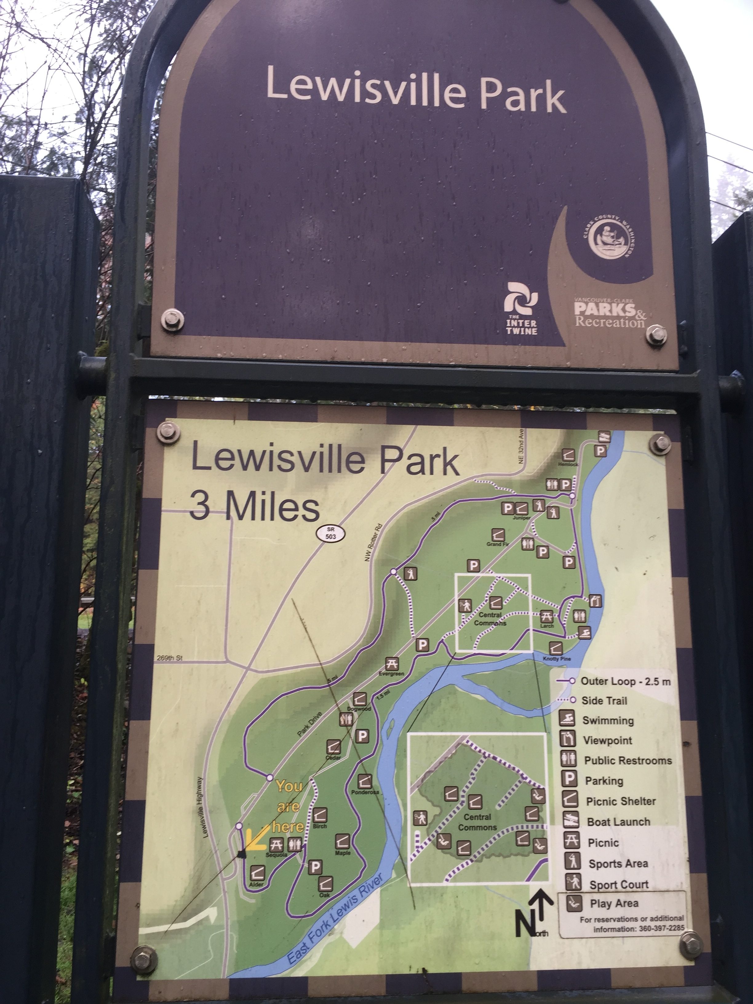
Lewisville Regional Park includes a 3 mile loop trail. The trail is well maintained, with no muddy sections in wet weather. It is mostly pea gravel, but parts of it are paved or dirt. Beyond the main loop, three are additional paths that could be followed.
Parking in the park is $3 between May 1 and September 30 (if there is a busy park event), but many people park near the park entrance where there is free parallel parking on the side of the entry road. This space will often fill up, so be prepared to just pay the $3 and find an open space inside the park. There are a couple trails that connect to Potter Rd north of the park, but if you choose that option, be very considerate of the neighbors so that you do not park in an area marked No Parking and that you do not park in a way that will interfere with their access to their property and driveways.
It is well worth paying $3 to help support the park. If you want, you can buy an annual pass.
Lewisville Regional Park includes a wide pea gravel 3 mile loop trail.
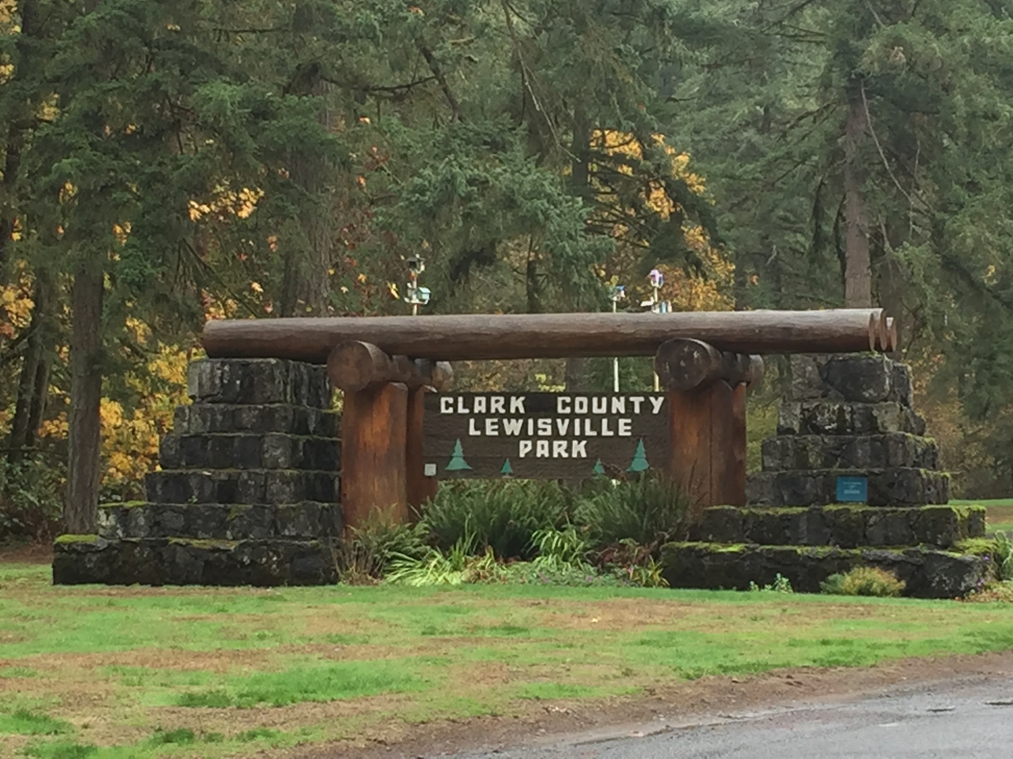
Lewisville Regional Park entrance
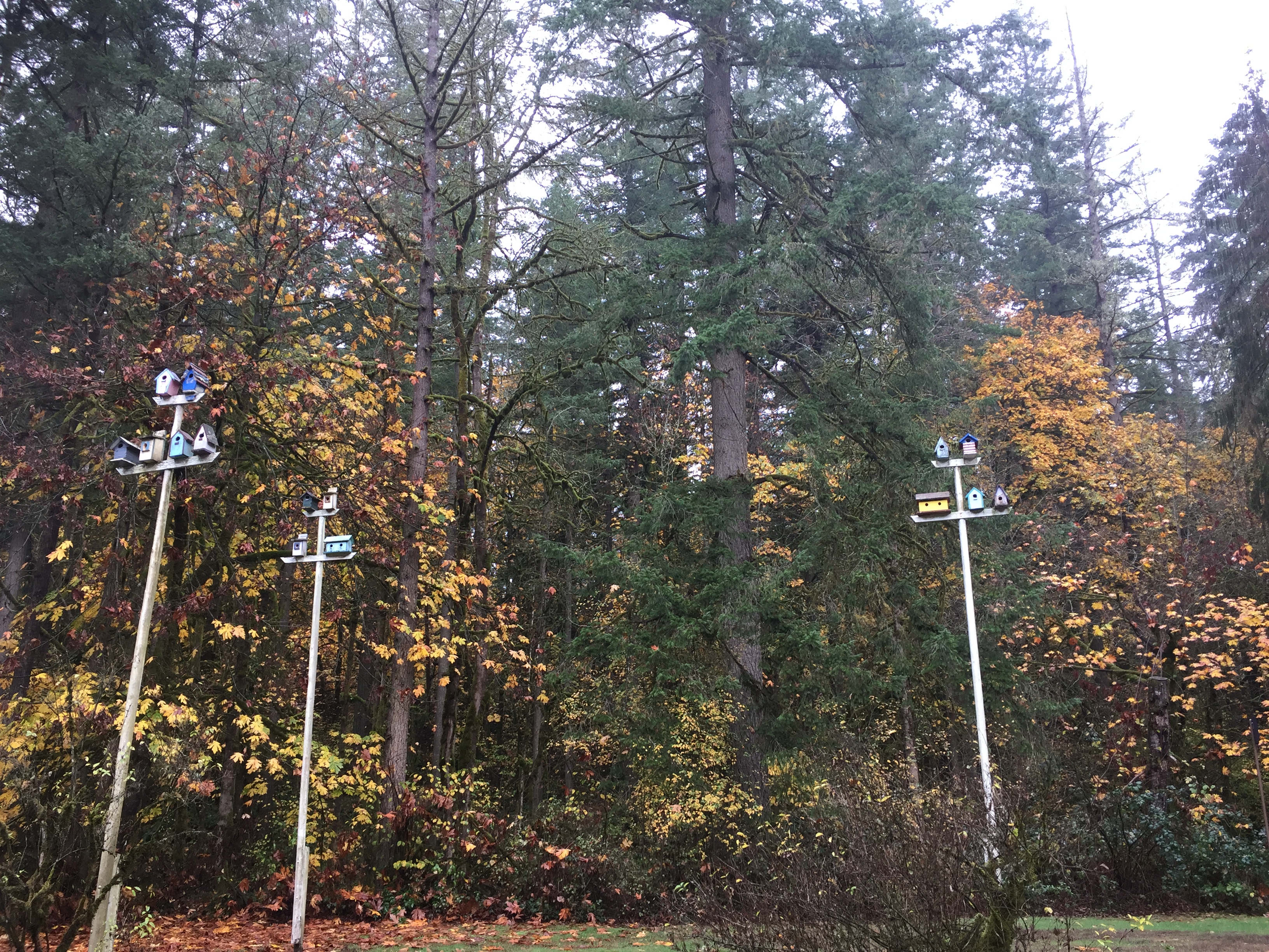
Birdhouses by the entrance of Lewisville Regional Park
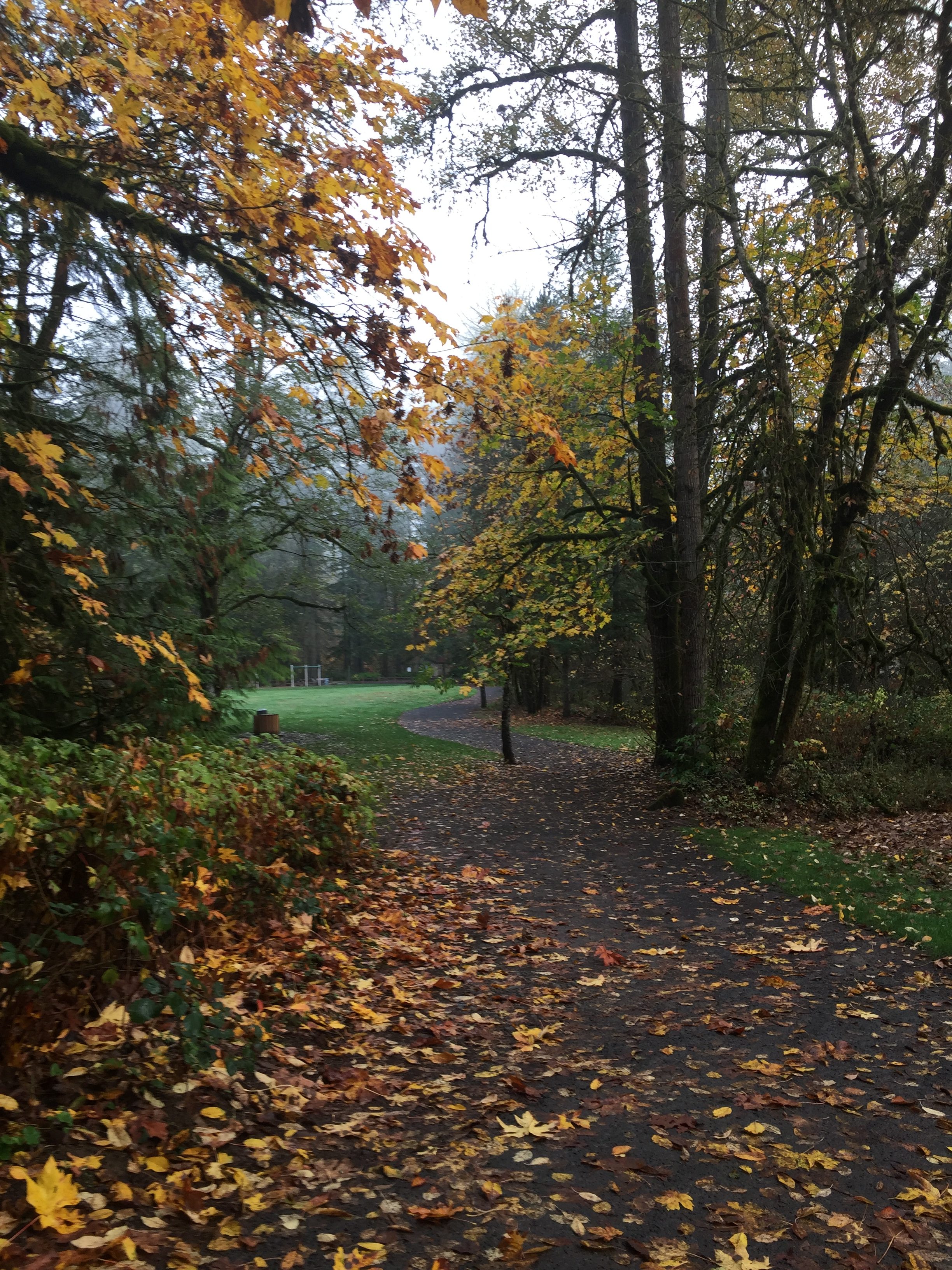
Main trail in Lewisville Regional Park
Main trail in Lewisville Regional Park
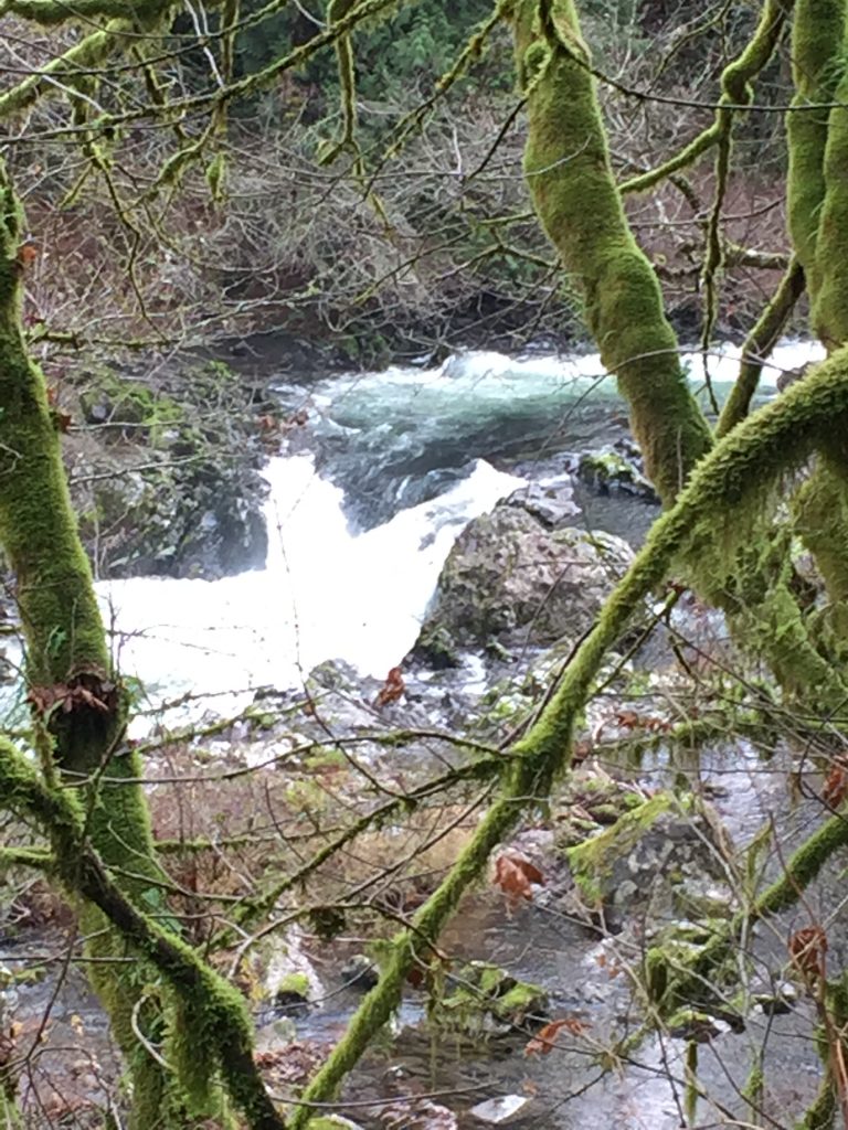
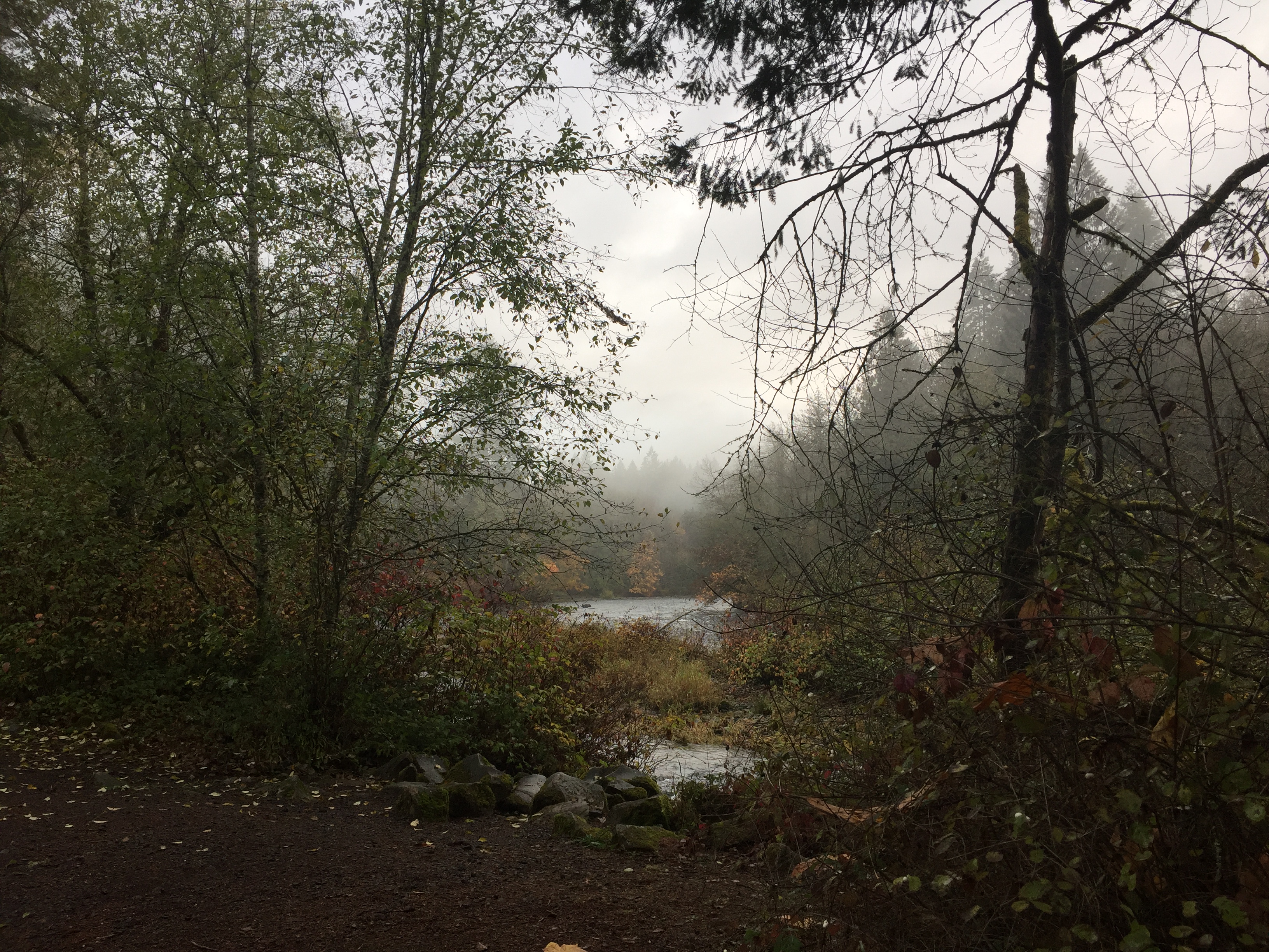
East Fork Lewis River in Lewisville Regional Park
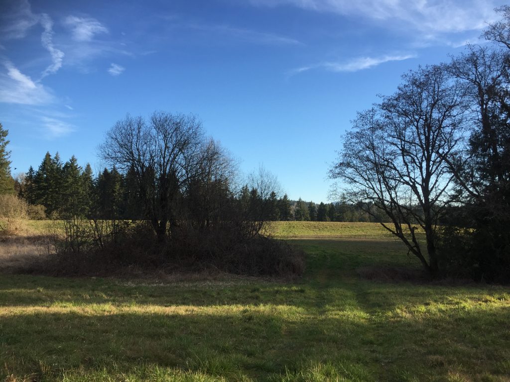
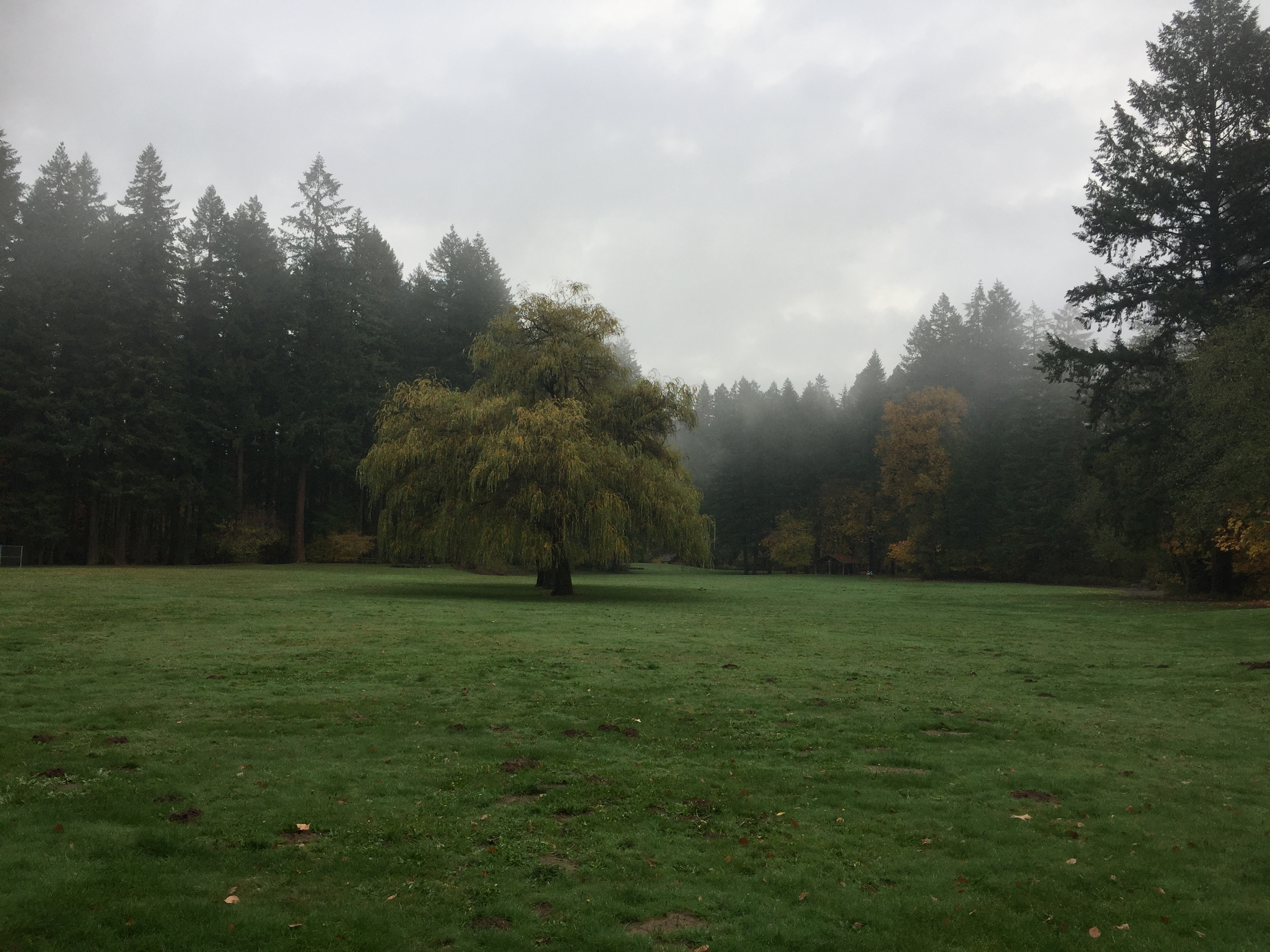
Open field in Lewisville Regional Park
The farthest upriver end of Lewisville Regional Park
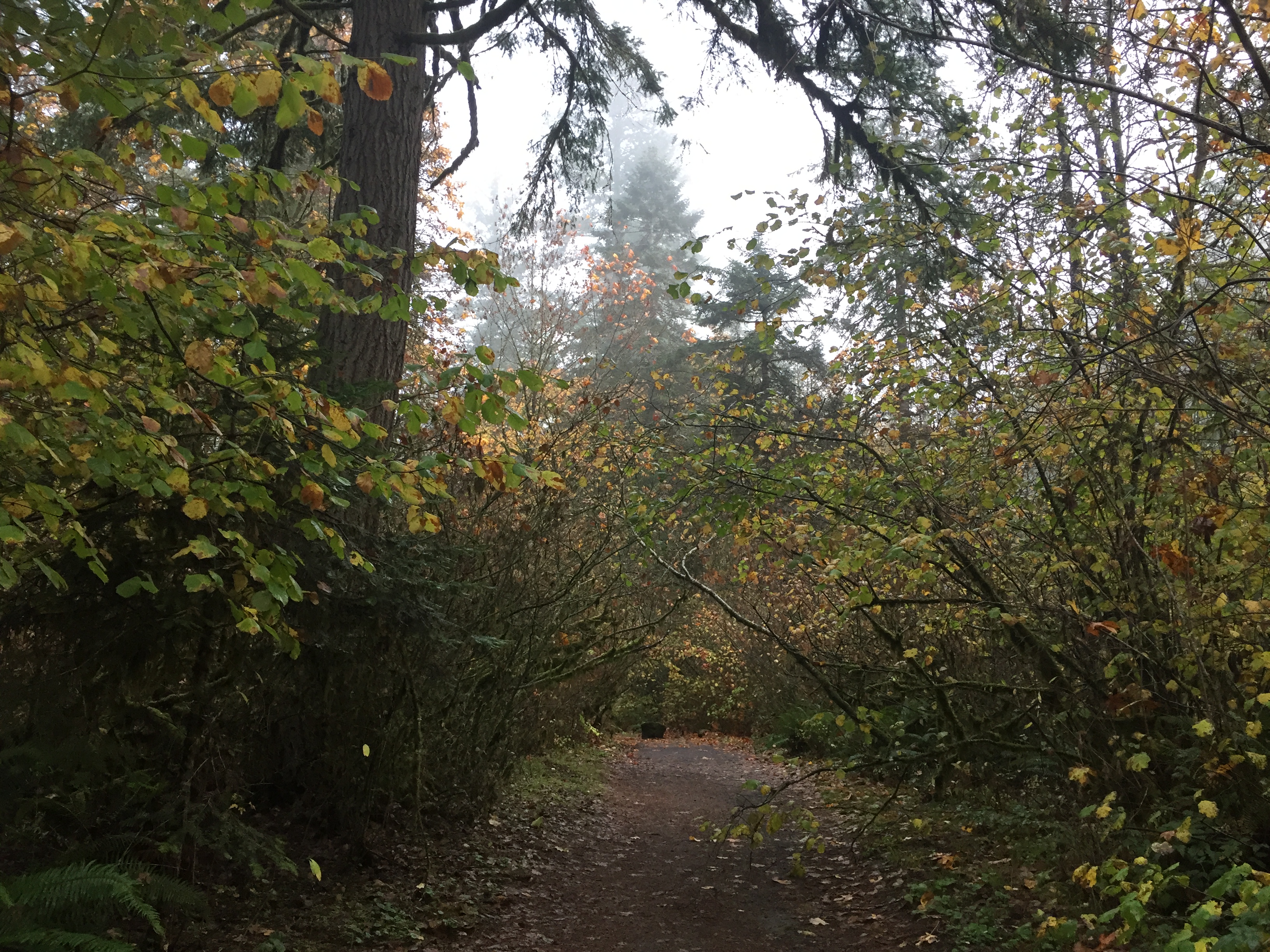
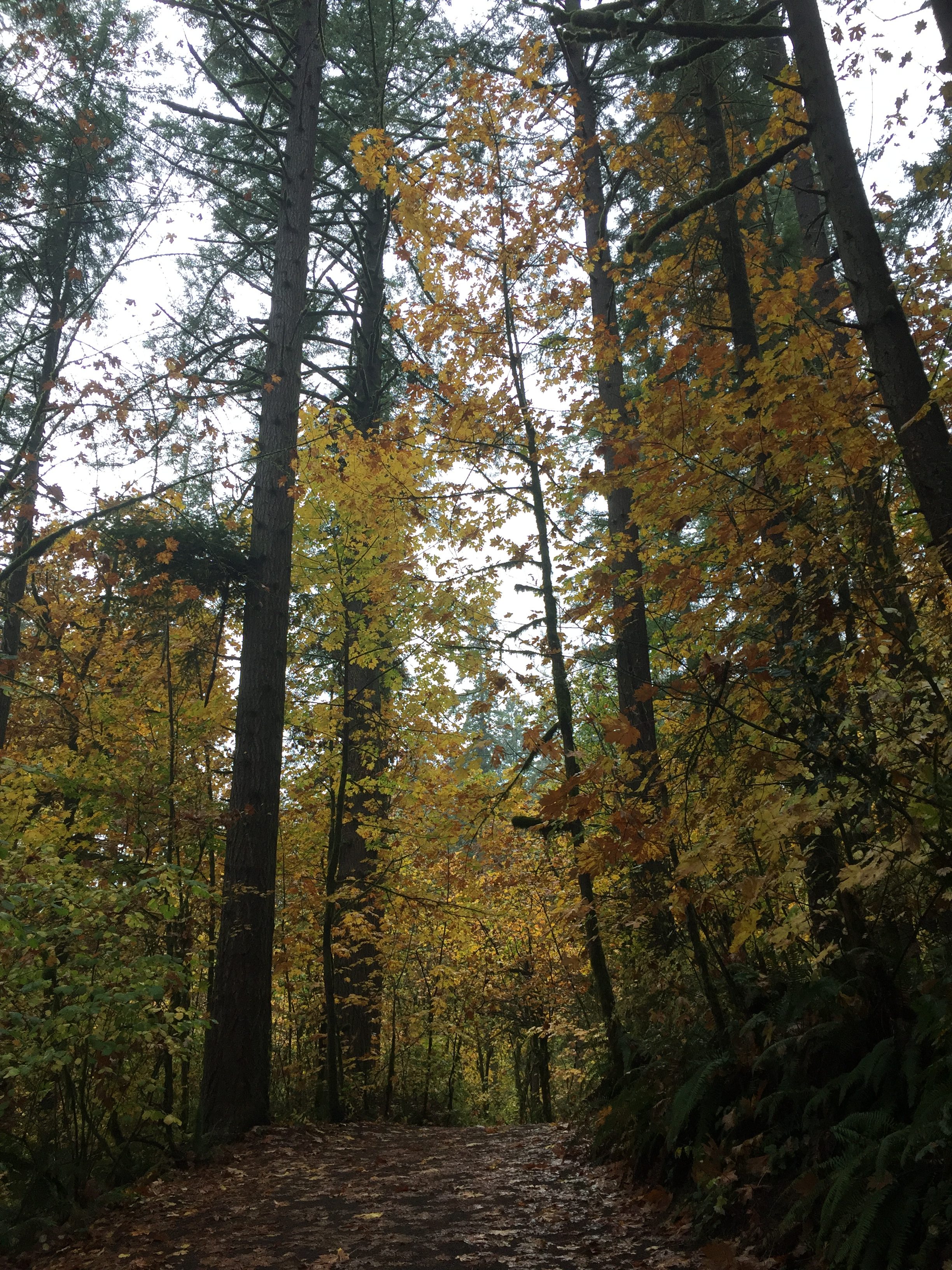
Forest trail in Lewisville Regional Park
Panorama of the East Fork Lewis River in Lewisville Regional Park
If you went to Hewlett Point in Frenchman’s Bar Regional Park at the south end of the park, and then either walk or ride along the paved path to the north end of Vancouver Lake Regional Park, you would have over a six mile round trip. Unfortunately over two miles of the trail runs along side fields without much tree cover, which can make for a hot and boring hike on hot days. This trail is much better for bike riding than it is for walking.
There are several places where you can park to start onto the trail. You can park at Frenchman’s Bar Regional Park, or at Vancouver Lake Regional Park, both of which require a $3.00 fee, but have lots of parking spaces and good facilities. Alternatively, you can park at the bend in Lower River Road at Blurock Landing (often fills up), the lot just south of where Lower River Road divides from the road for Vancouver Lake Park, or at a lot just north of there, which is the Frenchman’s Bar Hiking Trail Parking Area.