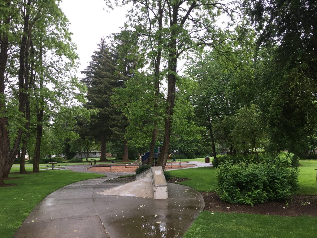
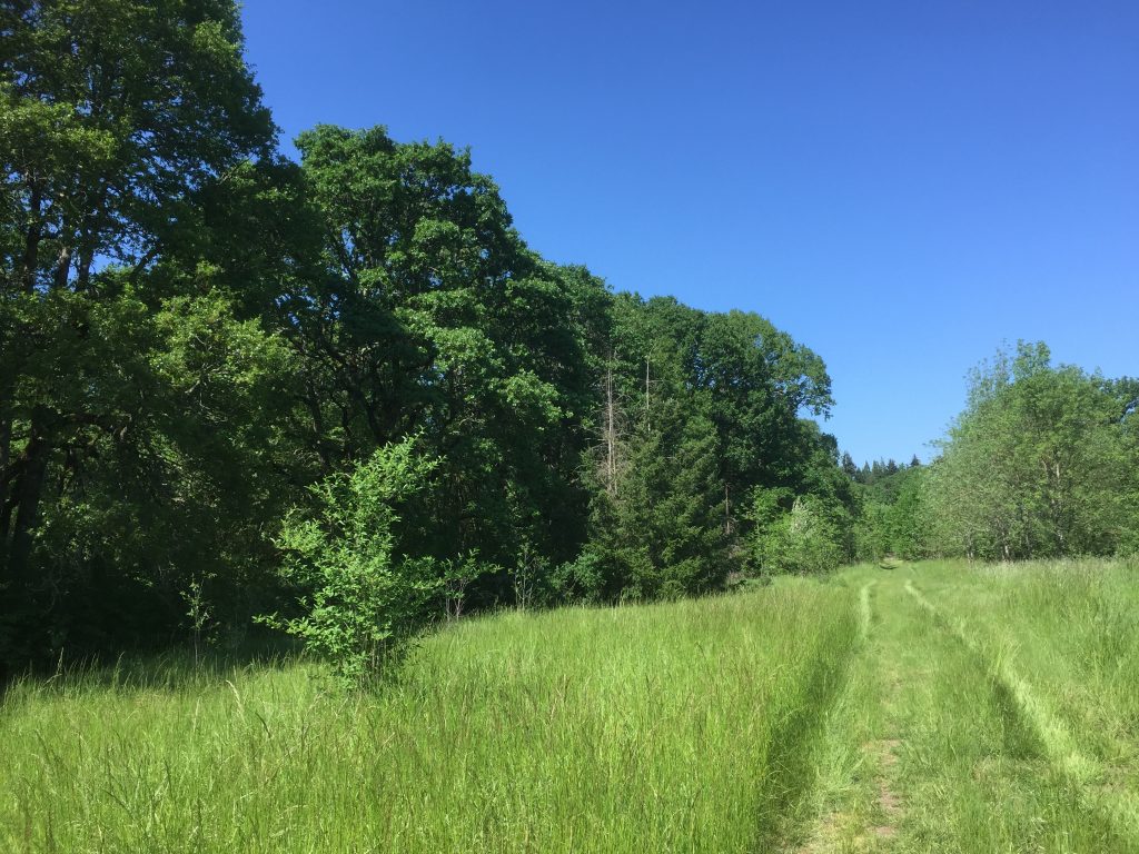
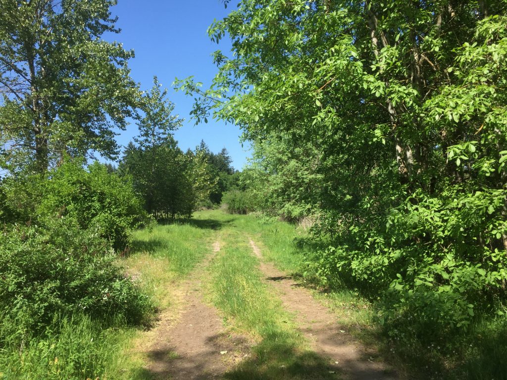
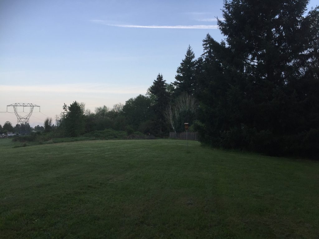
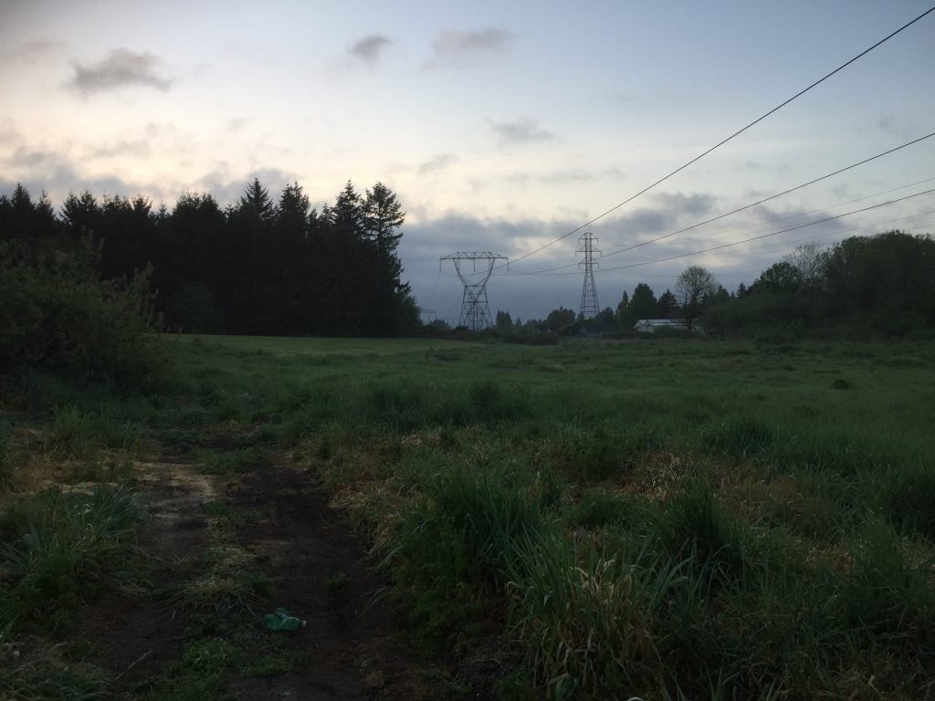
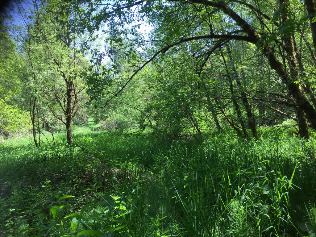
An open meadow with a grove of trees. This simple park allows for a short work across or around the grassy field.

North Image Park 
North Image Park
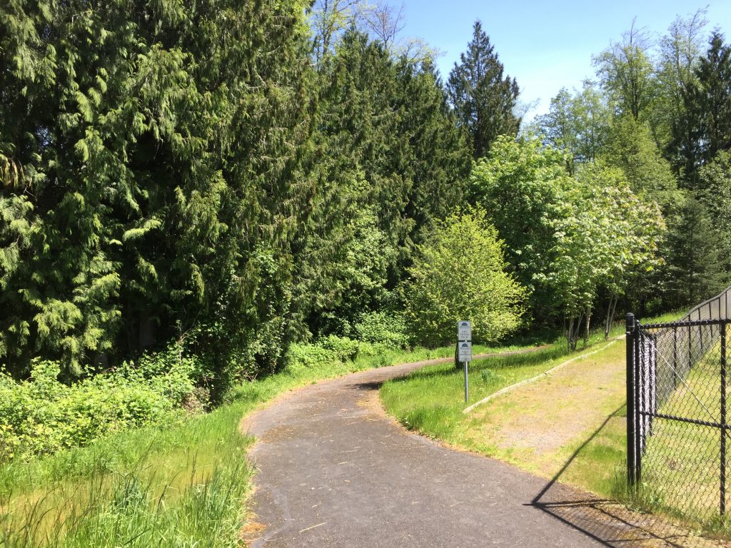
Access is from NE 49th St, NE 52nd St, or NE 135th Ave.
An open meadow with a grove of trees. This simple park allows for a short work across or around the grassy field.
Access is from NE 49th St, NE 52nd St, or NE 135th Ave.
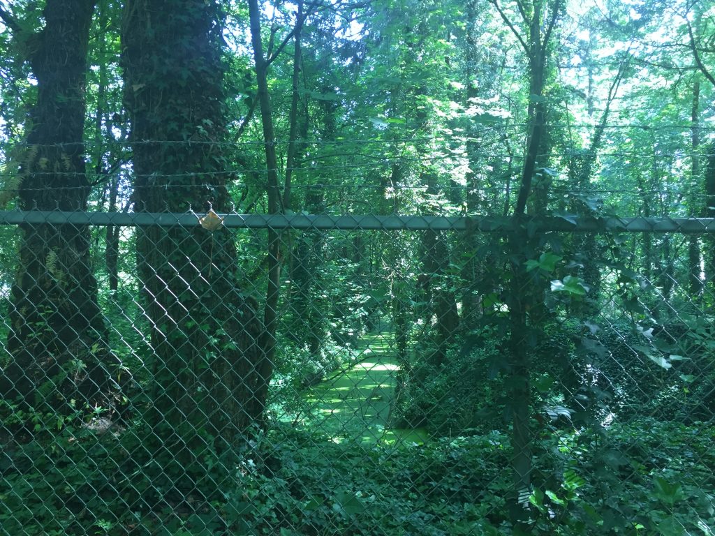
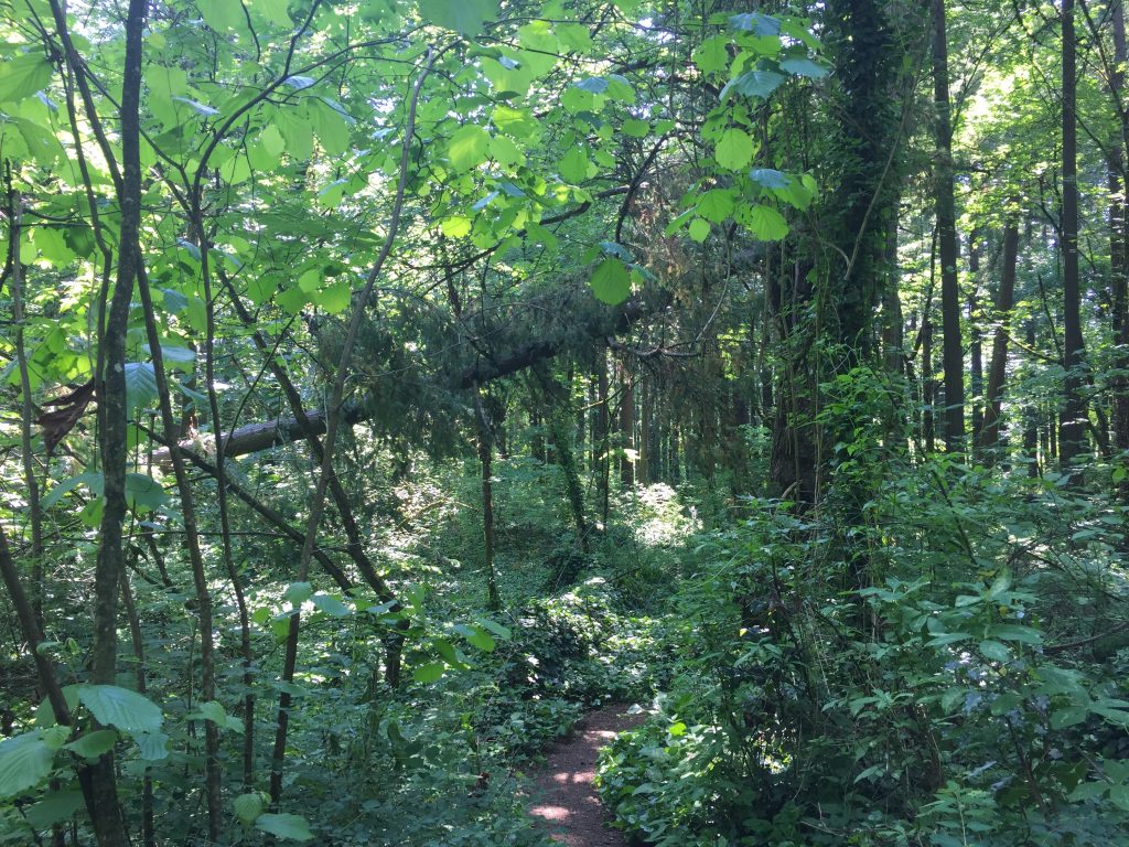
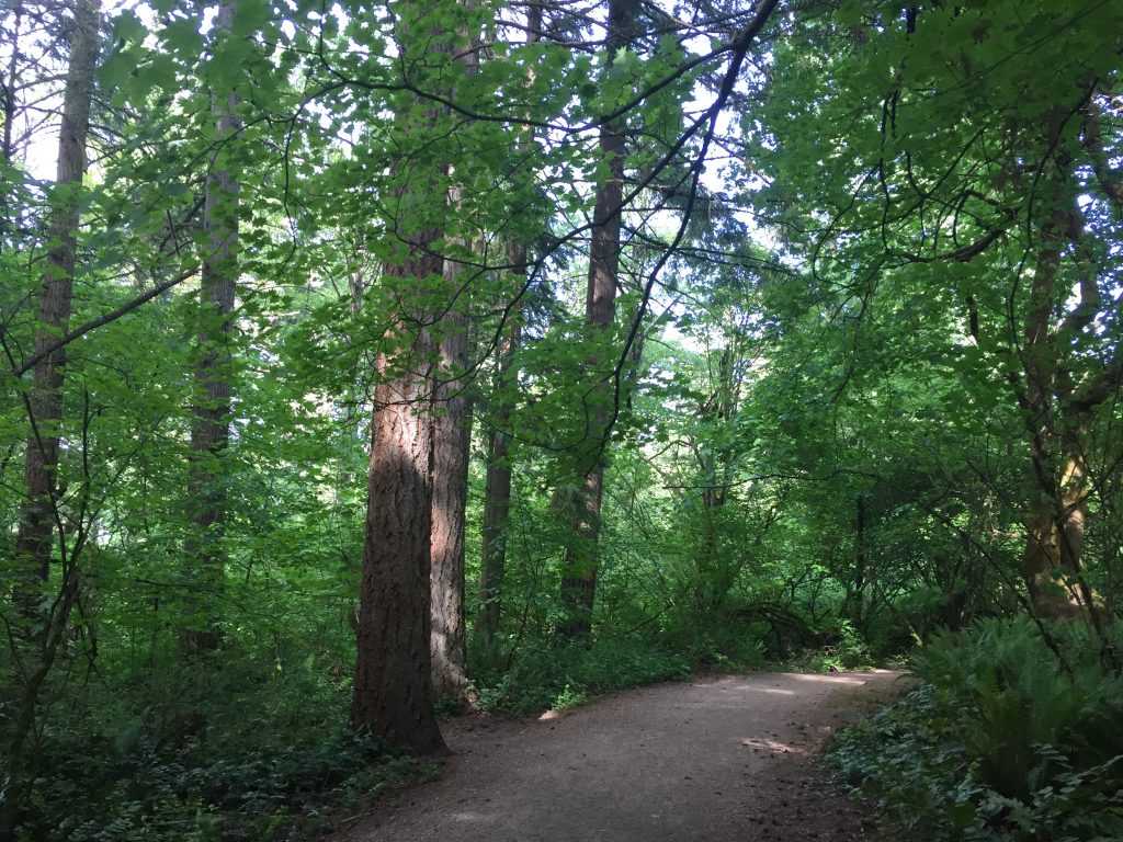
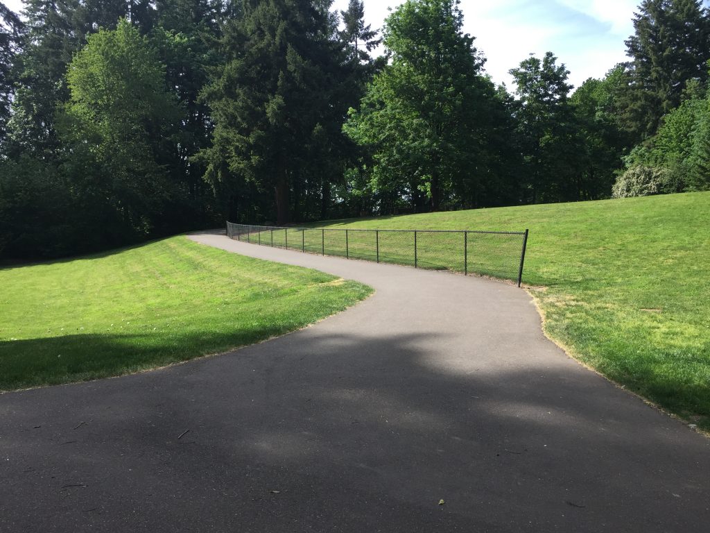
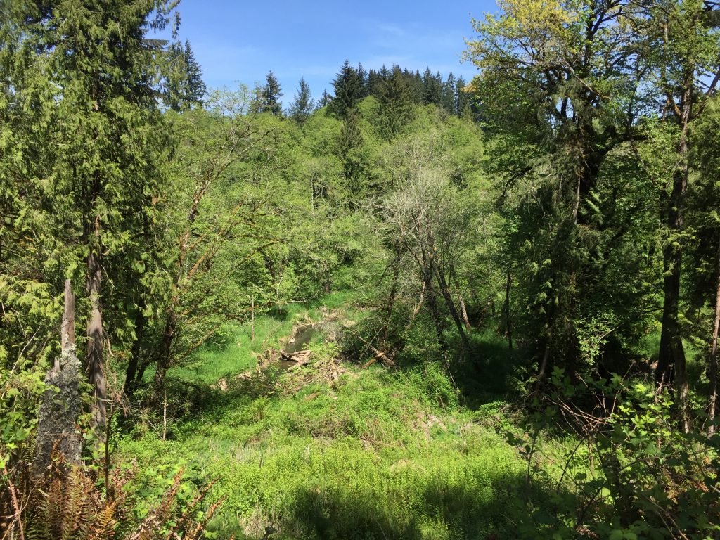
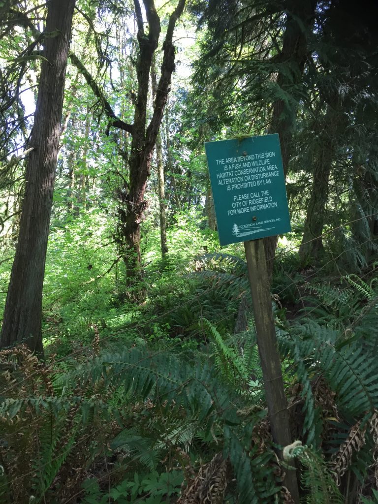
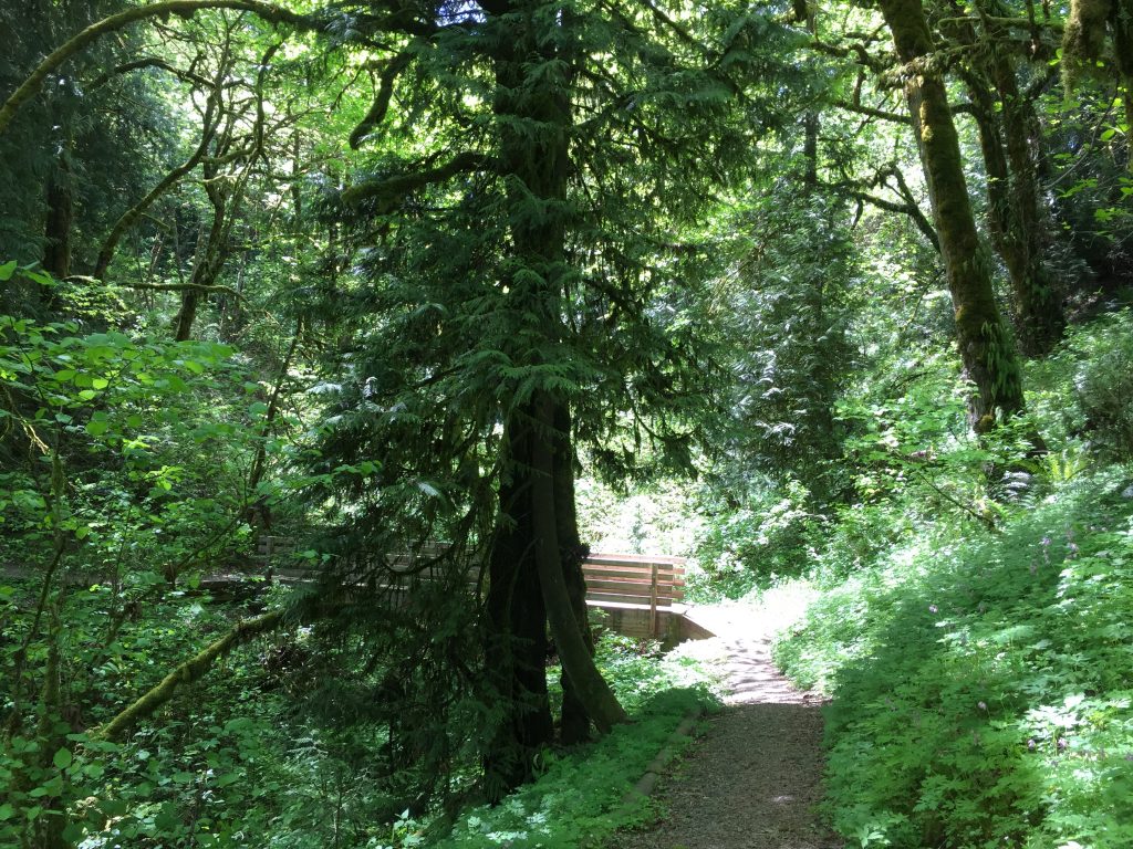
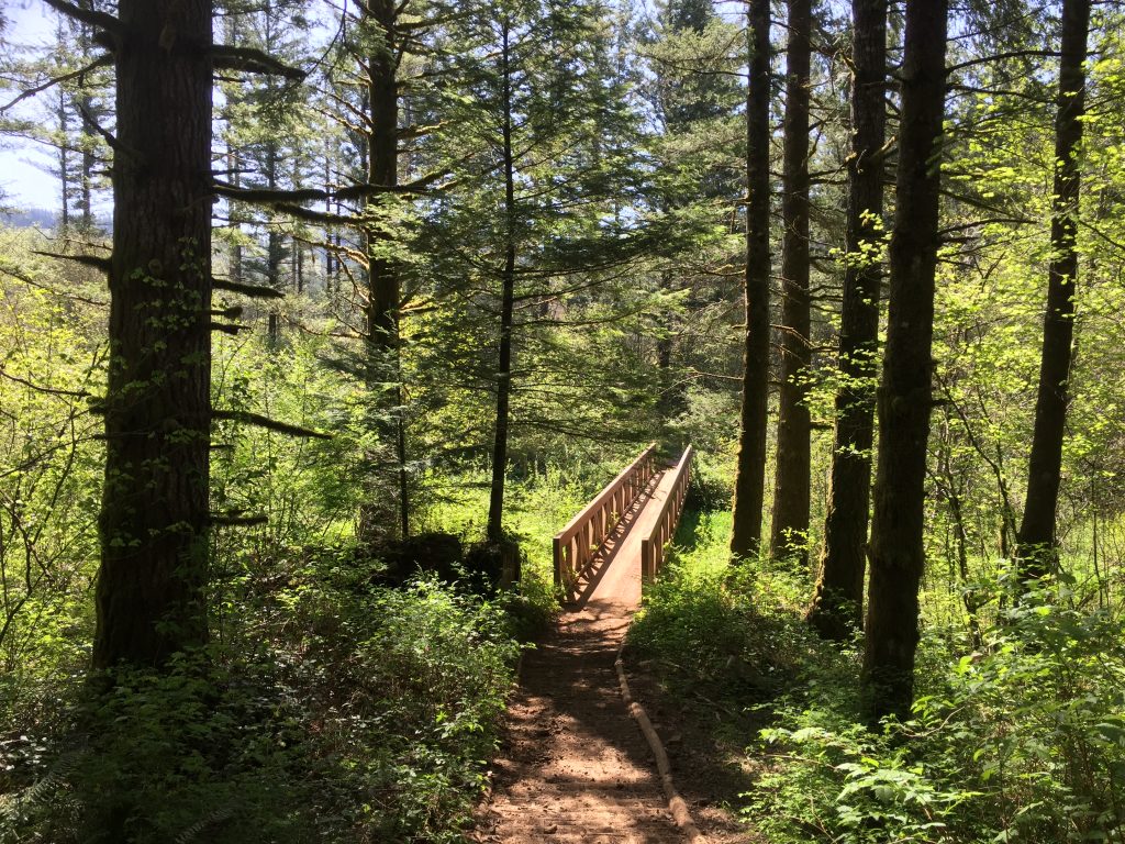
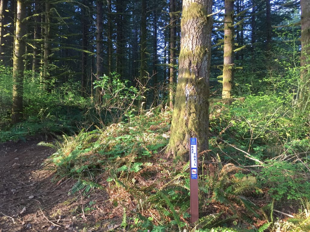
Surrounding the City of Vancouver water treatment facility is a natural wooded area with trails meandering through out it. In total there is likely a mile of trails. Most of the trails are wide, level and well used, making it easy to wander for some time. This is a great place to stroll through a forest.

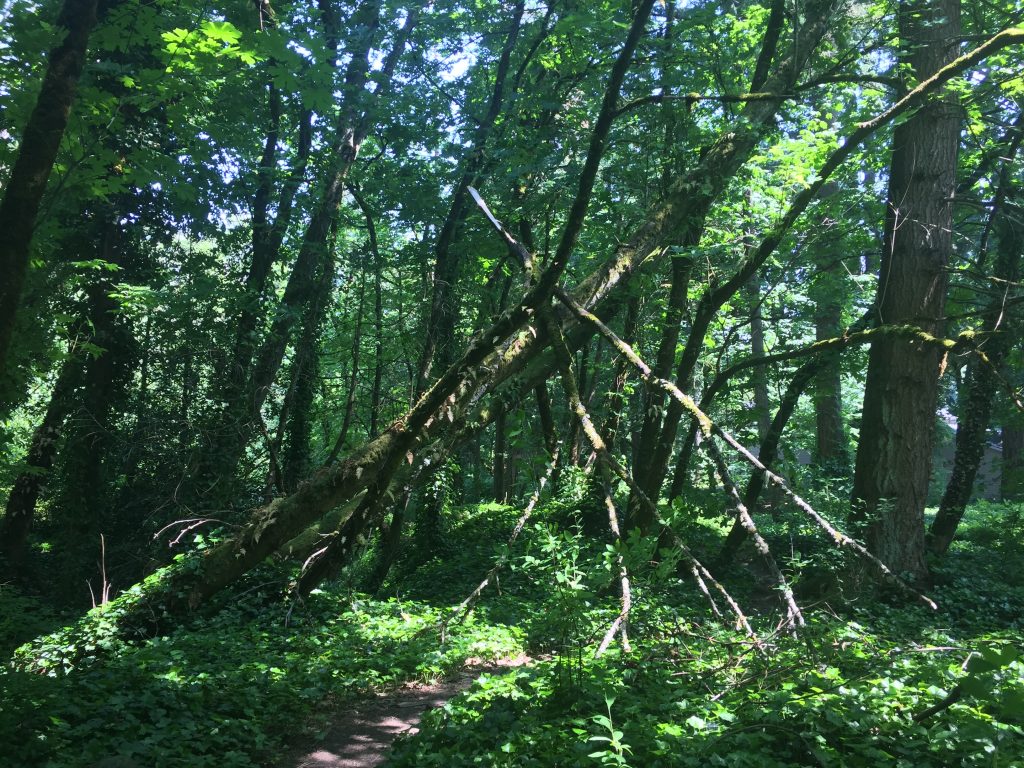
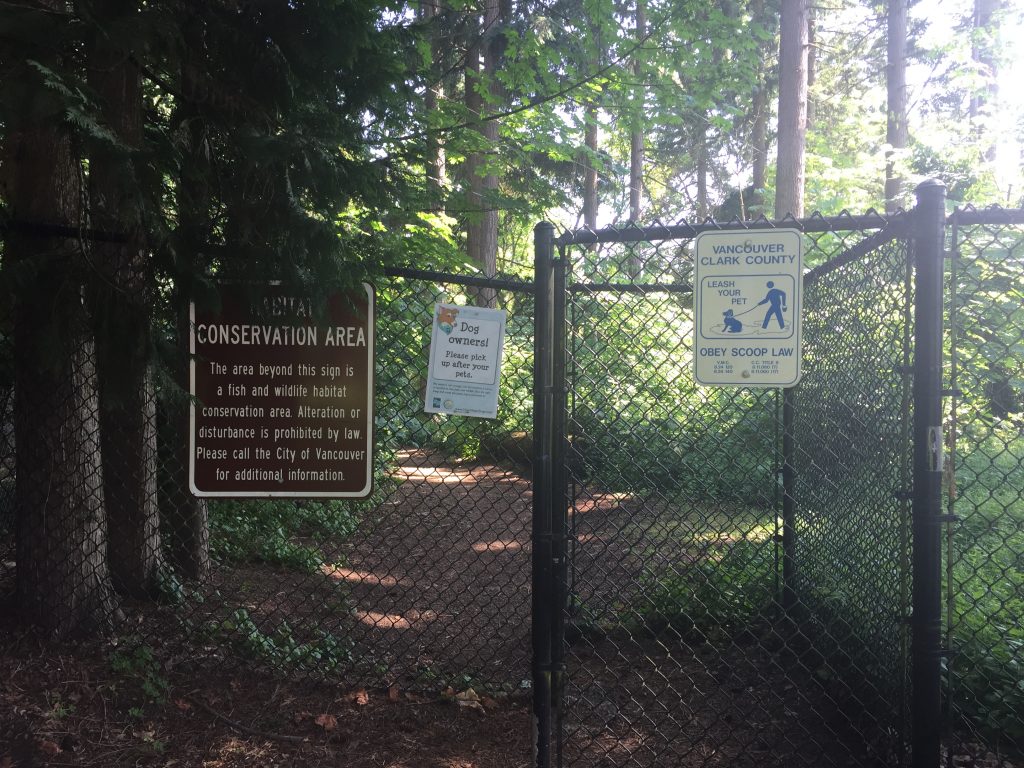
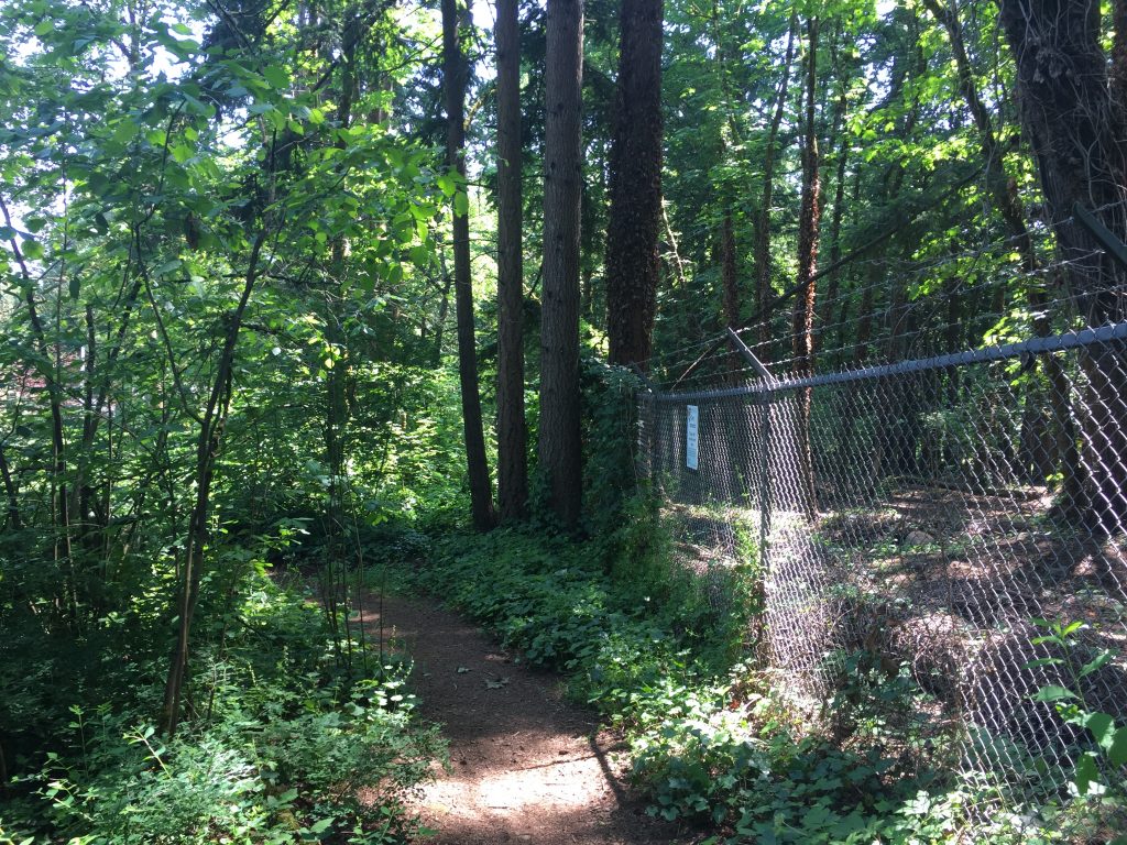
There are entrances to the natural area at the corner of SE 102nd Ave and SE 15th St, at the end of SE 98th Ave, and on SE 16th St.
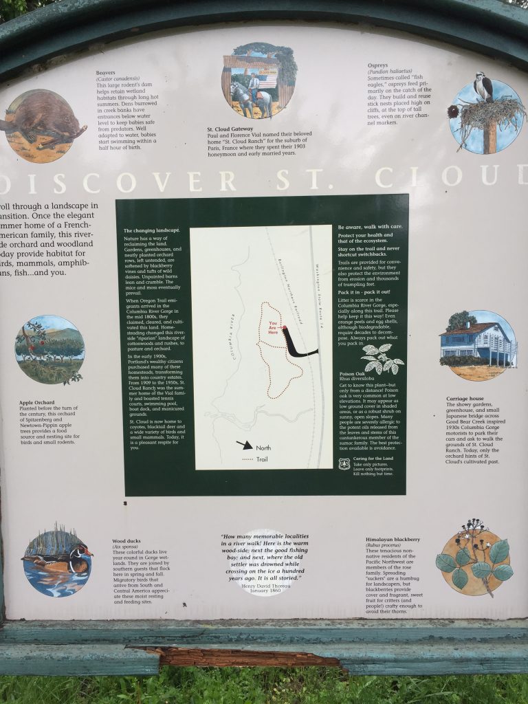
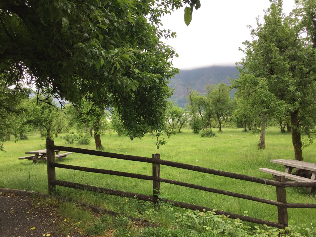
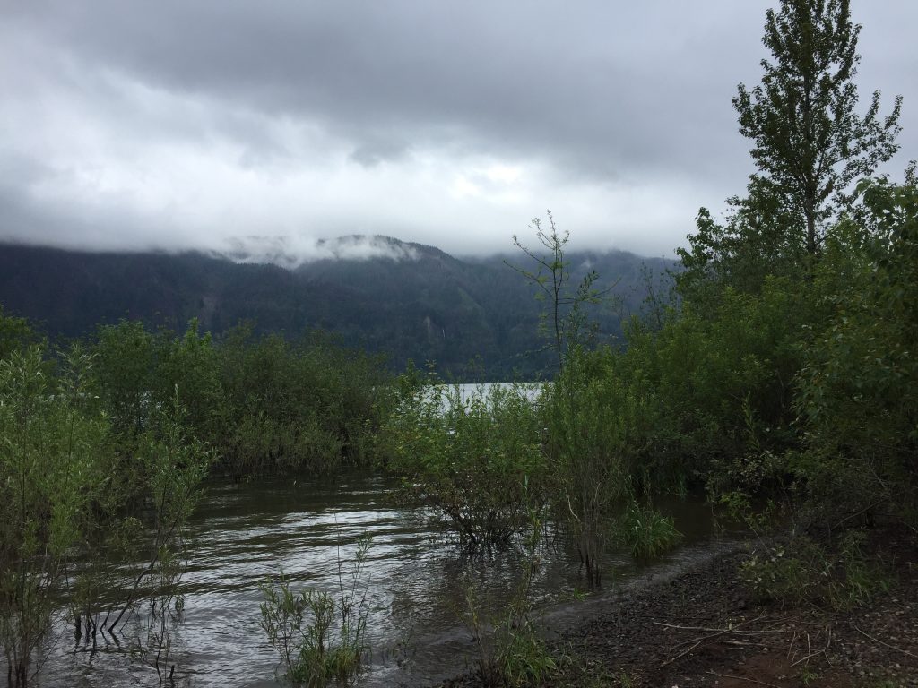
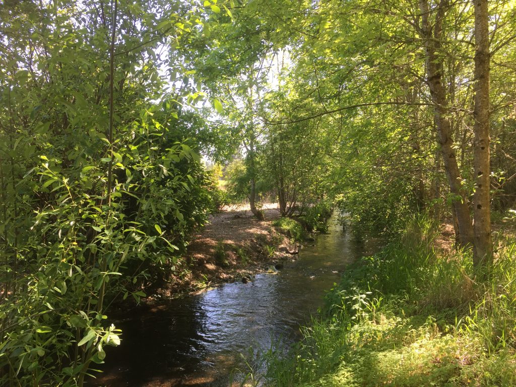
St Cloud Ranch is a small park along the Columbia River that provides a short, less than half mile, loop walk, and an area for picnics. The is a national forest service site, so a forest service day use fee is required.
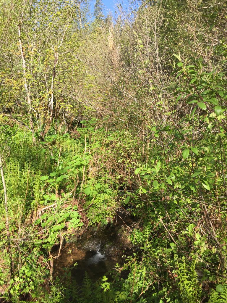
In addition to the loop orchard trail, a trail has been cut through the brush to the east. I followed the trail about 500ft to where it hits Archer Creek. I could see that the trail continued on the other side of the creek, but I was not prepared to ford the creek to follow it. During late summer and early fall you could explore a longer hike up the Columbia River to the boundary of the Franz Lake Wildlife Refuge.

The Little Prairie Neighborhood Park is another of many small neighborhood parks. This parks connects NE 142nd Ave and NE 78th St with a looping trail of about 1,000ft.
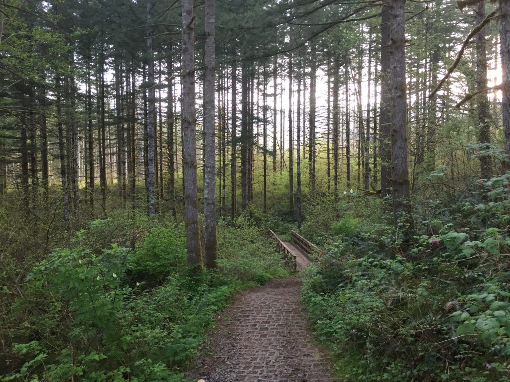
Tenney Creek Park is a nice neighborhood park to take a walk past lawns and through a forest creek side area. The meandering paths total about 1/2 mile.

Access to the park is on NE 91st St, NE 94th Way, and NE 88th St (there is no parking on NE 88th St).
You could extend your walk through the park into a loop by going east on 94th Way to the Ridgegate Greenspace path, and take it through to NE 32nd Ave then back to the park.
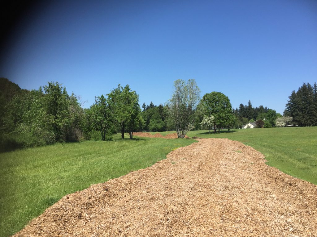
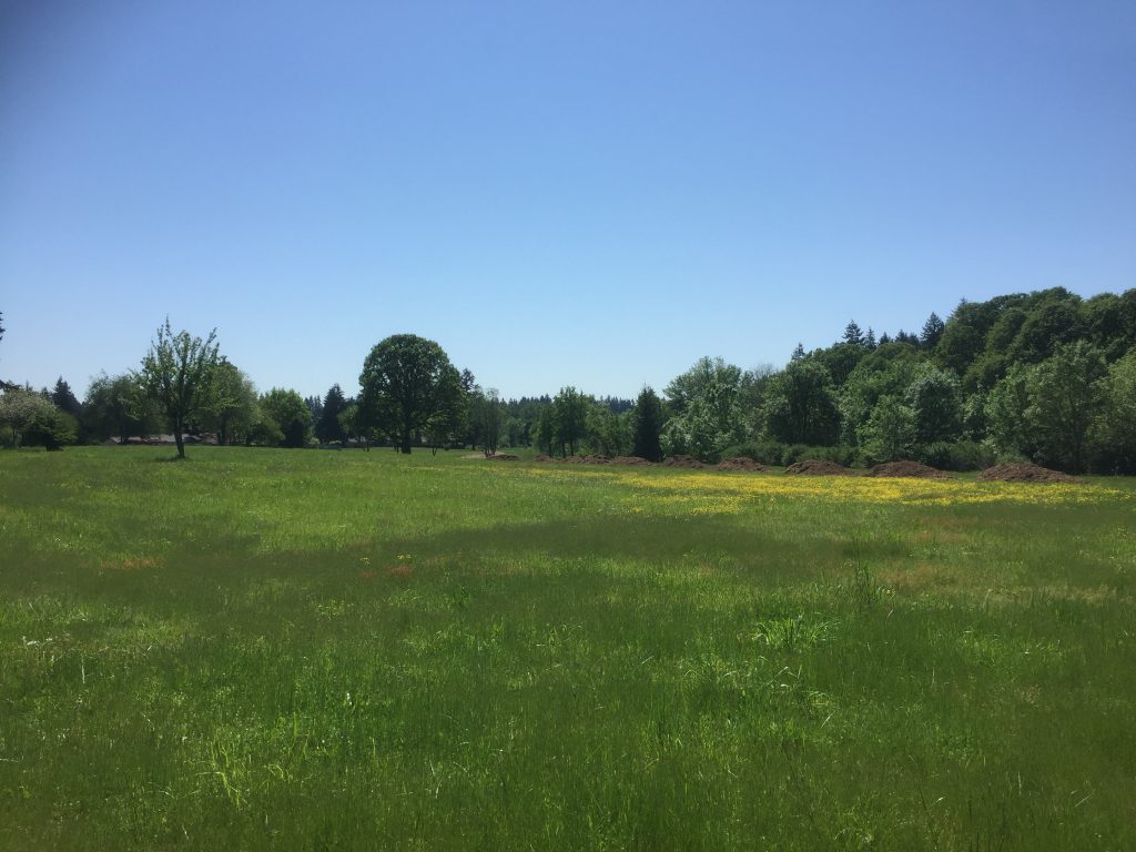
North of Burton Road is a 35 acre area designated Meadowbrook North. It is being actively restored with native plantings, and a new bark dust path is being built along the meadow east of Burnt Bridge Creek. There is an existing path through the grassy meadow east of the creek, and an old dirt road parallel to the creek on the west side. The east side is best accessed from NE 93rd Ave, and the road on the west side can be accessed from Burton Rd, but there is no place to park, so you will need to park somewhere else nearby and walk there.
If you start at the end of 93rd Ave, you can walk across the meadow, and follow the trail parallel to Burnt Bridge Creek. Walking almost to Burton Rd and then looping back around the field will take you about 3/4 of a mile. The access to Burton Rd is blocked, so you cannot just easily cross over the creek to the west side. Hopefully this access will be opened up, and a crossing could be installed to allow easy connection to the Burnt Bridge Creek Trail and Meadowbrook Marsh Park, as well as access to the west side of this area.
The dirt road on the west side goes in about 2,000ft, ending up in a wooded area near Burnt Bridge Creek. I am hopeful that when the Burnt Bridge Creek Trail extension is completed, it will include a nice loop walk through this area.
This is an undeveloped park that features a nice meadow area. I was able to follow a path in the grass, and looped through the trees on the north east side of the meadow, for a walk of about 1.300ft. Access to the site is from the end of NE 69th St. Adding a walk up to the golf course adds about 300 to 400ft to the loop. It would be possible to explore the golf course from here, but golf courses generally do not allow public access to people who are not golfing.
At the back of the Osprey Pointe neighborhood is a stretch of trail along the Gee Creek valley. A short trail goes down the hill to the bottom, but ends before reaching the creek. An upper trail runs along the bluff, ending at a conservation area, with a side trail connecting to 24th Ct. The trails are short, about 1,500ft total, but do provide for a very nice walk along the forested hillside.
Ideally, this trail could eventually be connected to Abrams Park downstream, and to the High School upstream.
Just up the hill from the trails, is a commons area owned by the Home Owners Association on 21st Pl. The trail around this commons makes about a 1,400ft loop, and has a connection to 15th Circle. What would really make for a great walk, would be if a trail were built through the wooded area on the east side of 21st Pl and Osprey Dr, to the Gee Creek Trail.


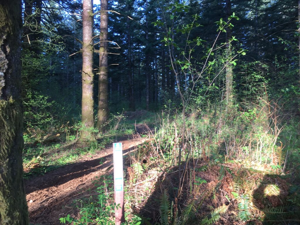
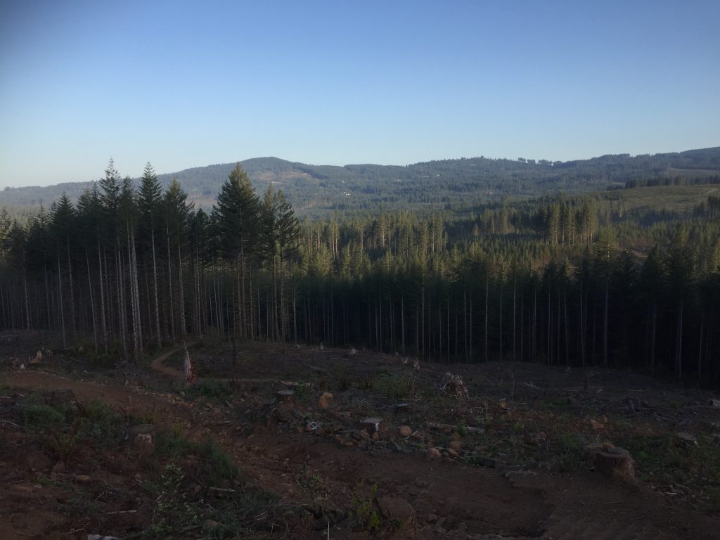
The Jones Creek trail is specifically maintained for off road vehicle use, motorcycles and ATVs. If you use the trail for hiking or mountain biking, you need to remain alert for the approach of off road vehicles and allow them passage. The main trail is closed to off road vehicles from December 1st to May 1st, so that would be a time it could be hiked without concern, except that the trail would likely also be muddy in places or have snow during the winter months.
I hiked the trail early in May. I came across a couple muddy spots, but nothing that prevented me from getting through. I started my hike very early on a weekday morning and was able to hike for a couple hours before any motorcycles showed up. I remained alert, and just had three times on the 11 mile hike that I had to step aside to let dirt bikes pass. Overall it was an enjoyable hike. If you have a bike or ATV that you want to take out for a great ride, this would definitely be the place to go.
The Jones Creek Trail makes about an 11 mile loop. It connects to other trails and roads in the area that can add many more miles. The Jones Creek Trail Riders Association maintains it, and has a website with useful details and updates.

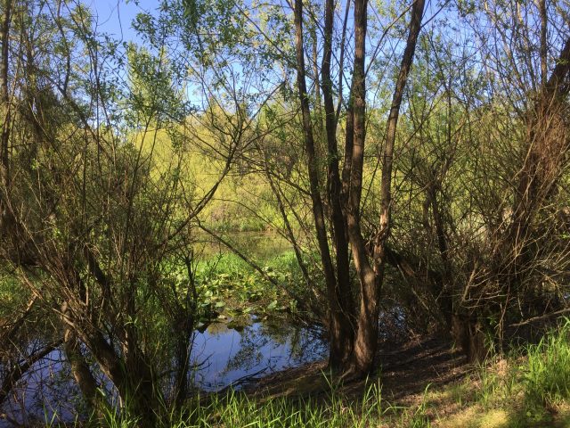
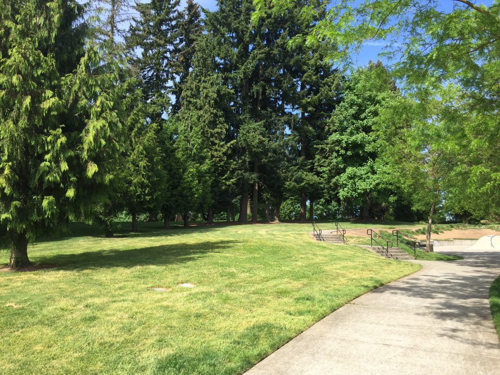
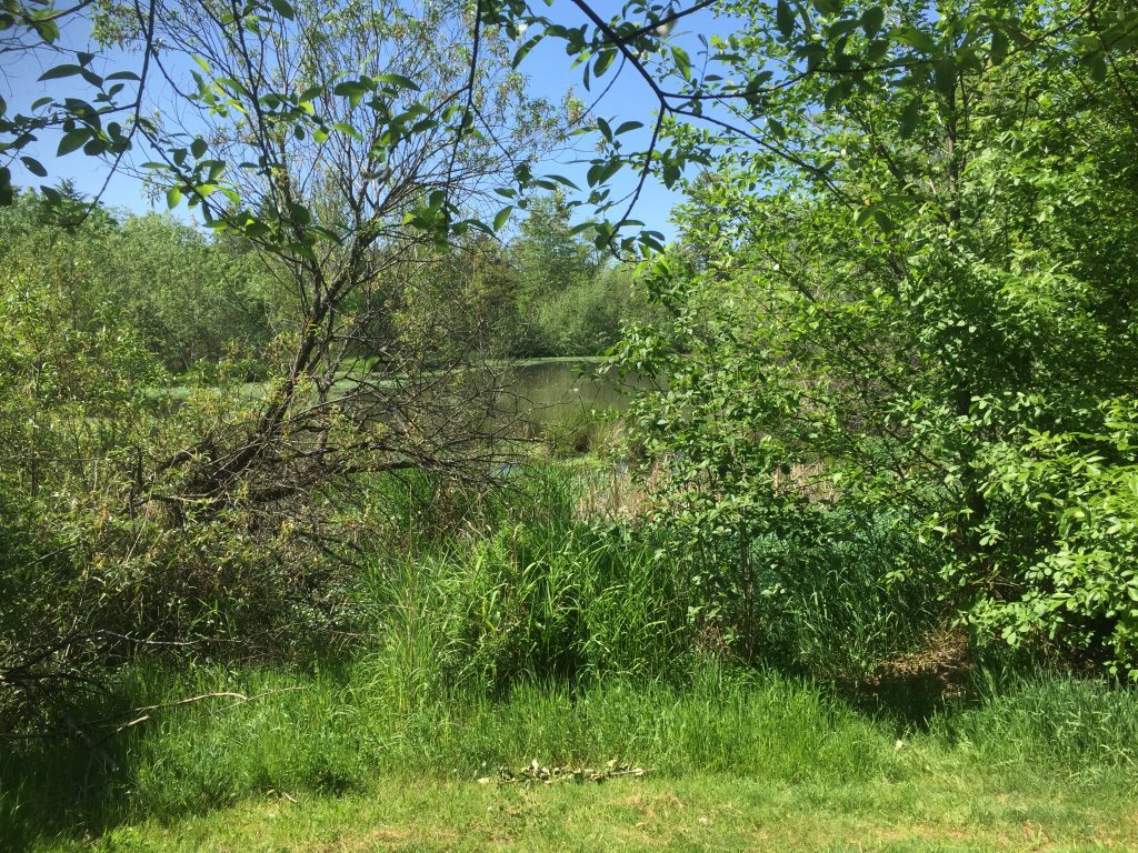
This is a simple little neighborhood park with a 600ft loop path. There is a nice wetland area along the north side that makes for a relaxing viewing.