Update reported in The Columbian 8/29/2024
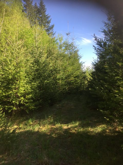
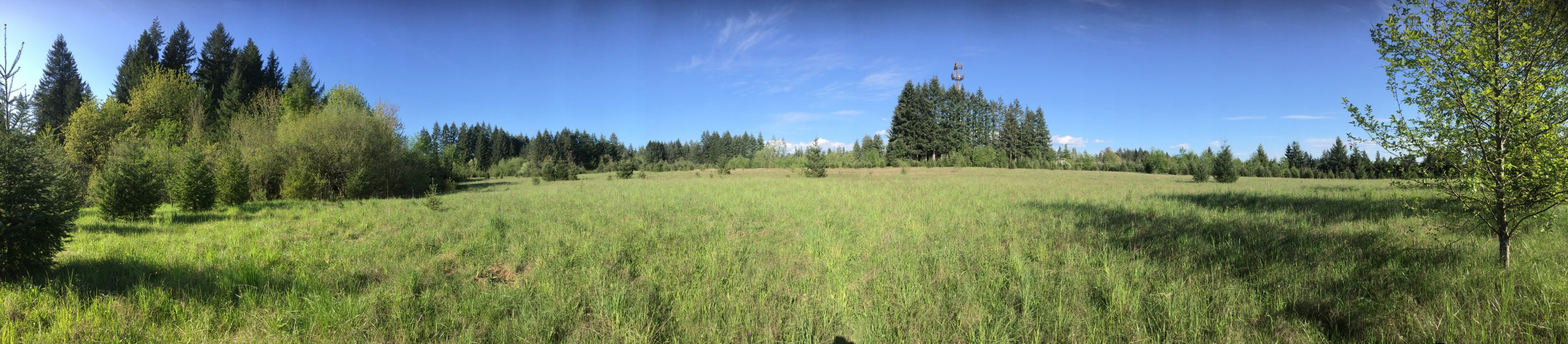
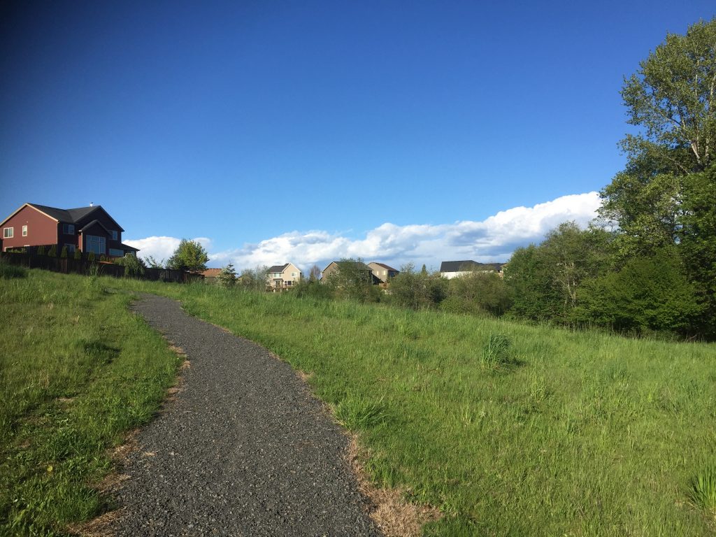
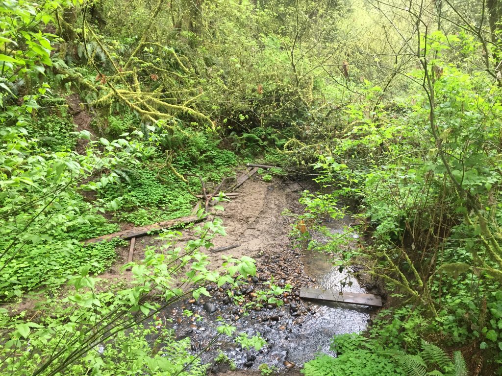
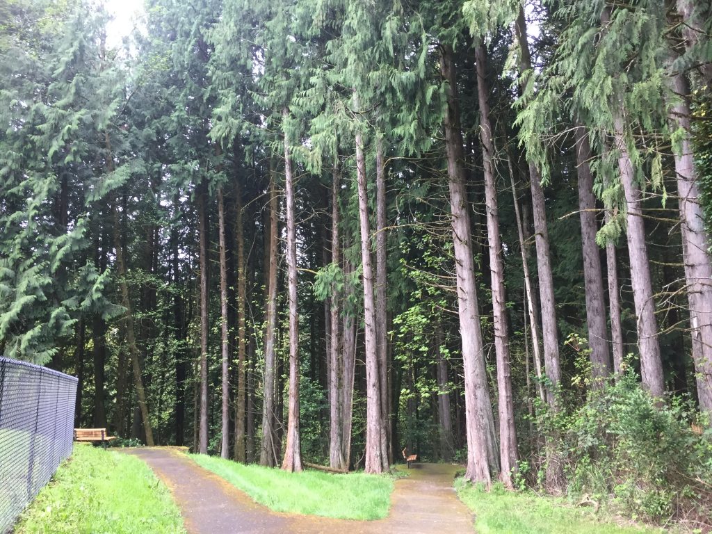
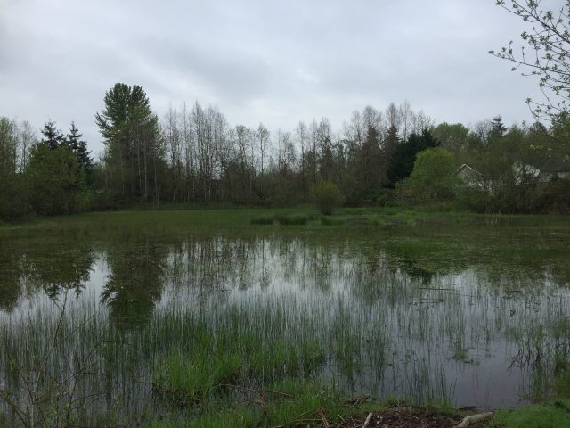
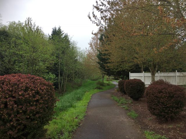
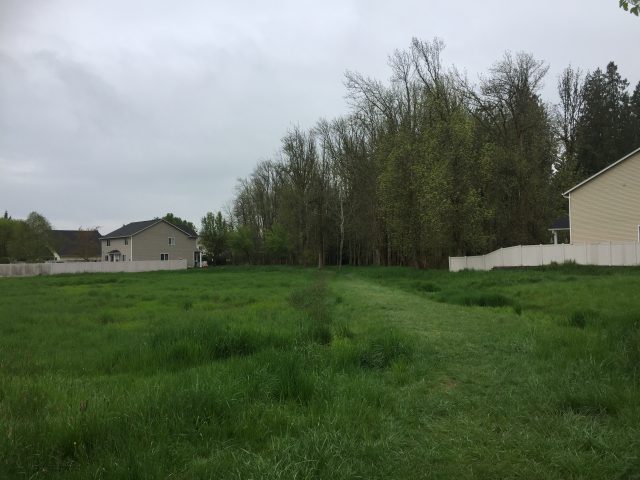
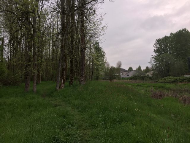
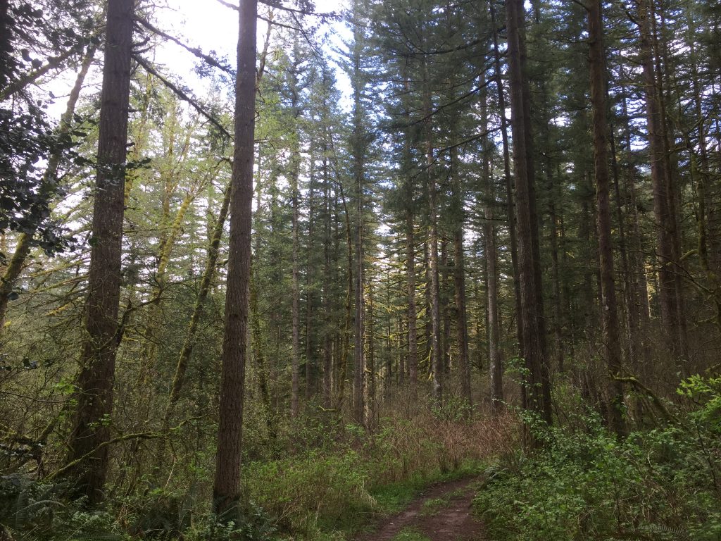
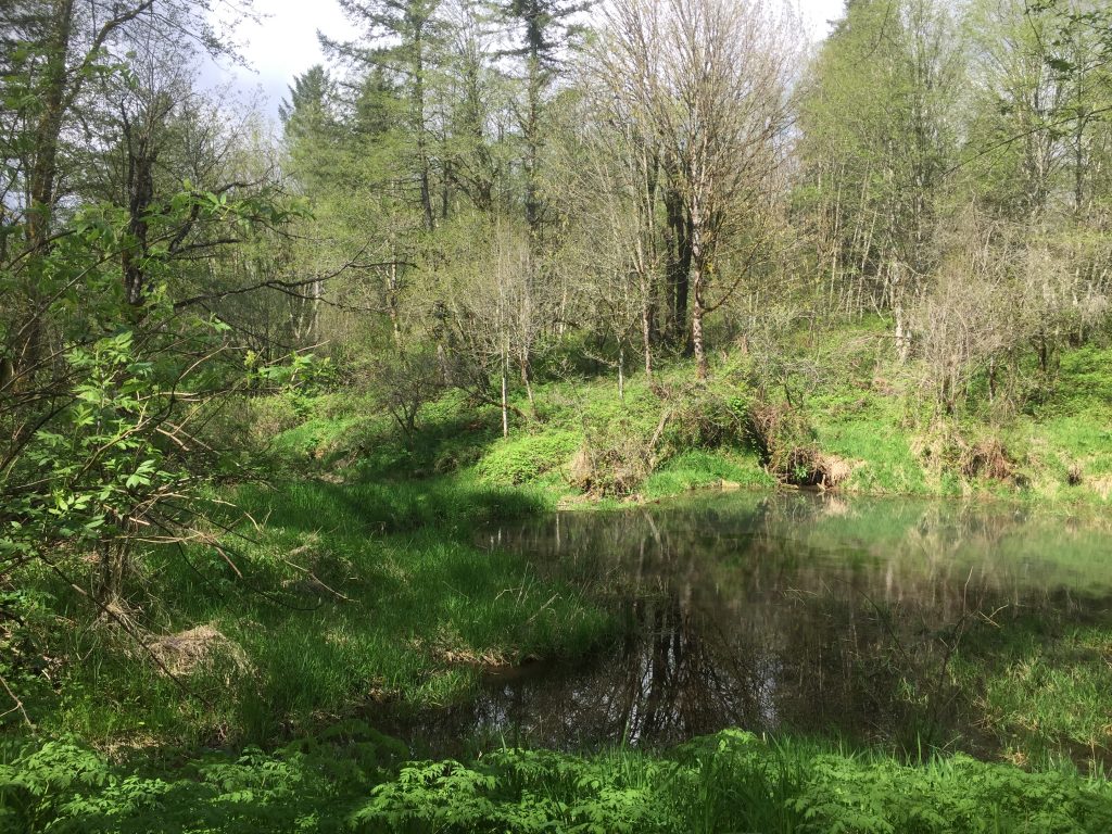
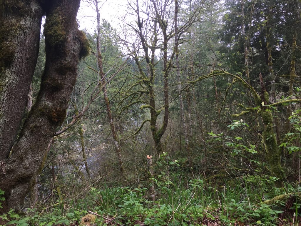
This is a site owned by the City of Battleground currently being restored with native vegetation and reforested. It mostly consists of a large open field surrounded by forest, with sections replanted with new trees. There are paths criss-crossing the site through the grass, but they might be difficult to follow, especially when the grass is tall. Exploring the site, you could easily walk 3/4 mile to a mile making a loop.
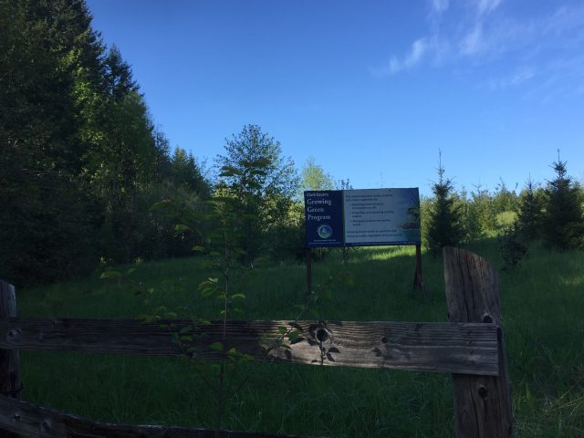
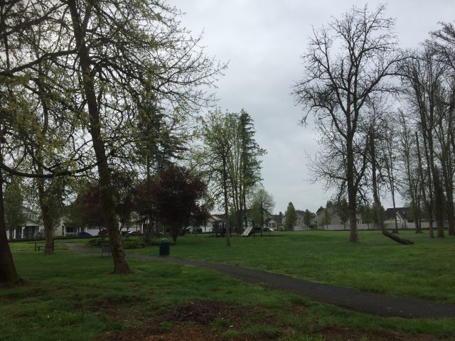
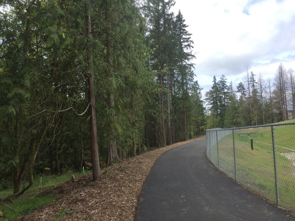
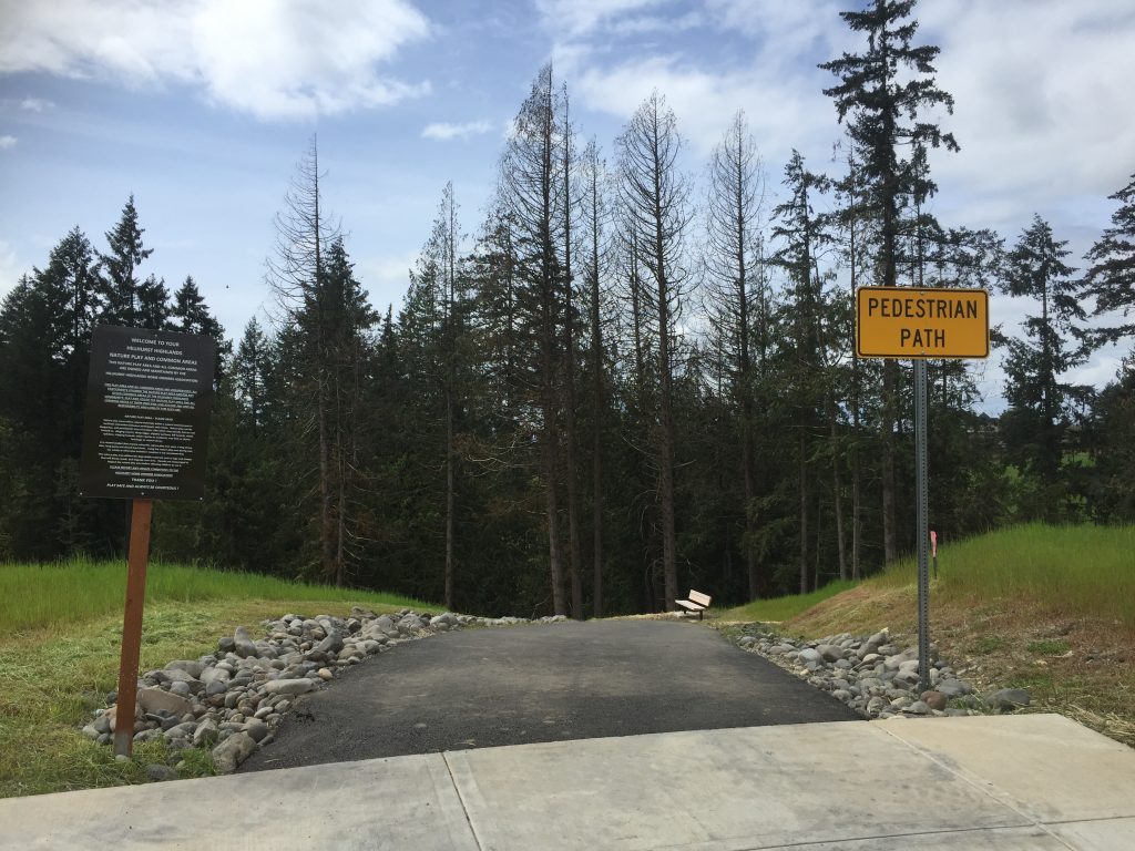
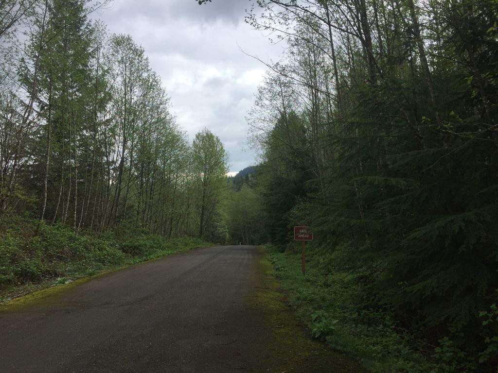
The start point is at the south west corner of the property where there’s a gate and a sign about the conservation work. There’s only room for one or two cars to park at the gate. This is not a good spot to park on the shoulder of the road.