This site includes the future Curtin Creek Community Park, neighbored by the Glenwood Disc Golf Course and a Curtin Creek habitat and wetland restoration area. You can park in the Glenwood Community Church parking lot and explore trails that lead into the wetland and habit restoration area. The church property also includes a disc golf course to enjoy if you want something more than a nature walk.
The planned park will be on the property to the north of the church and east of the fire station.
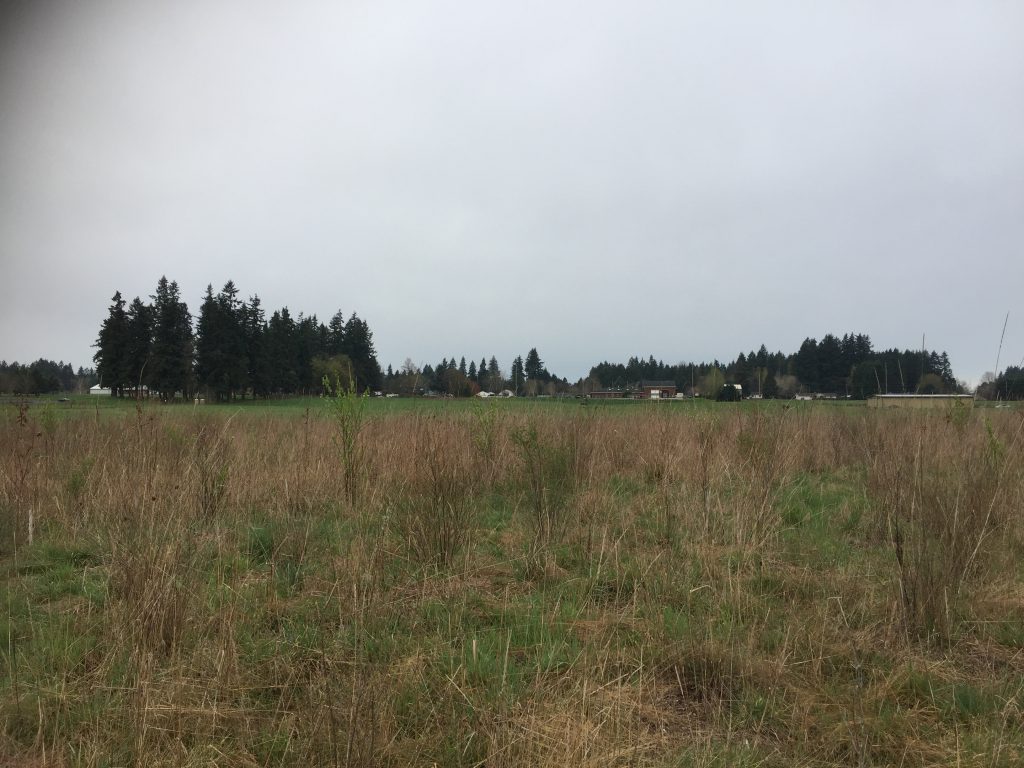
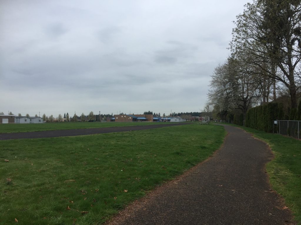
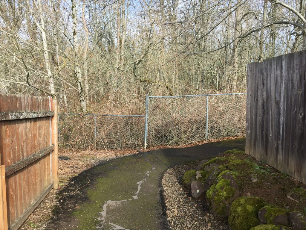
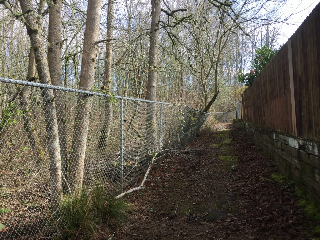
On 192nd Ave, just south of the Fisher Basin Community Park, I found a site that has a good looping trail, but no name. This is an area of grass and partially treed with a nice paved 1/4 mile looping path. At the west end of the site is a fenced grassy area around a water filtration pond, but when I was there the gate was open allowing access to a grassy walk.
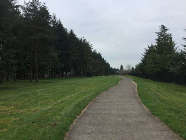
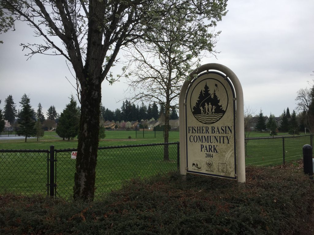
Fisher Basin Community Park is located next to Shahala Middle School and Illahee Elementary School and includes a great loop path to follow around the schools during non-school hours. (Please avoid walking the school grounds during school hours).
This is a flat paved walk. What really interested me when I was there, was the abundance of birds in trees along the path between the two schools, and in the field to the west of that path. I even saw Scrub Jays there, which I have not seen on my other walks.
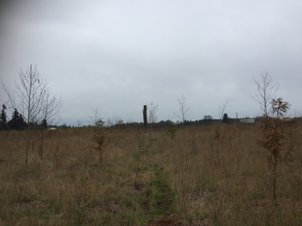
The empty land next to the schools (at the corner of SE 192nd Ave and SE 1st St) provides an interesting area to look for birds, and some trails to wander. This area is owned by PeaceHealth so will likely soon be developed into a clinic.
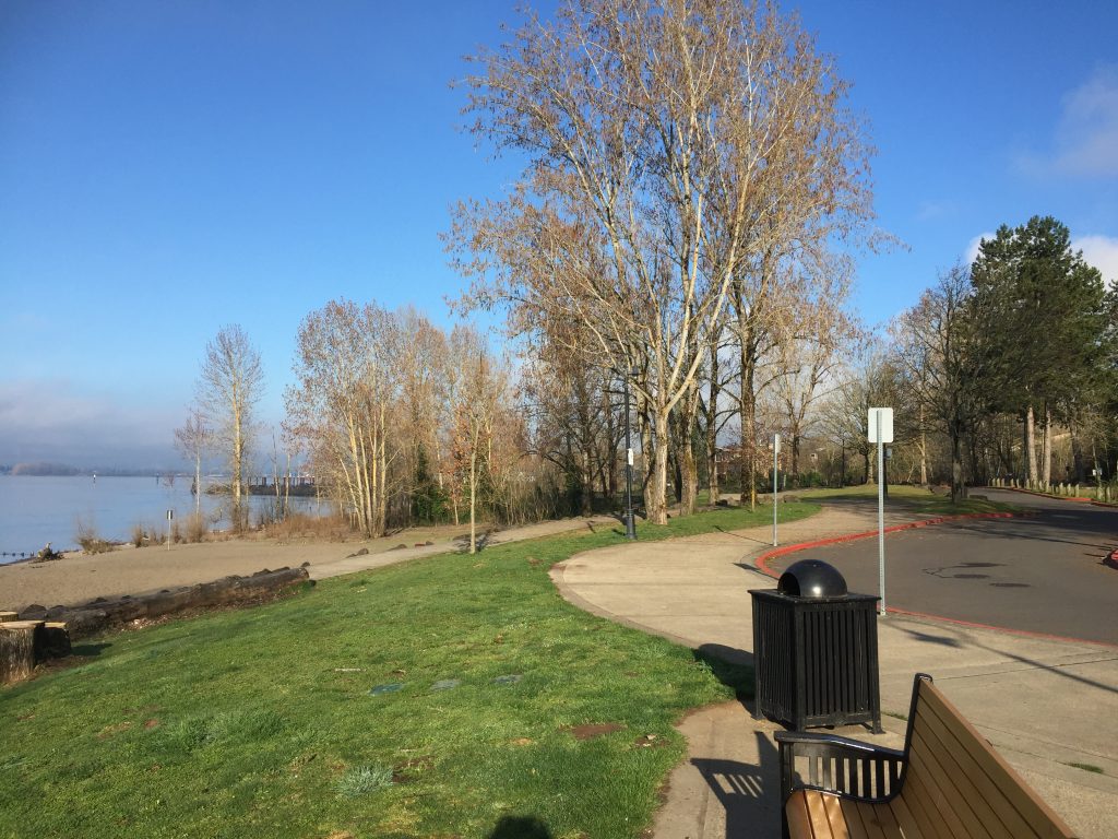
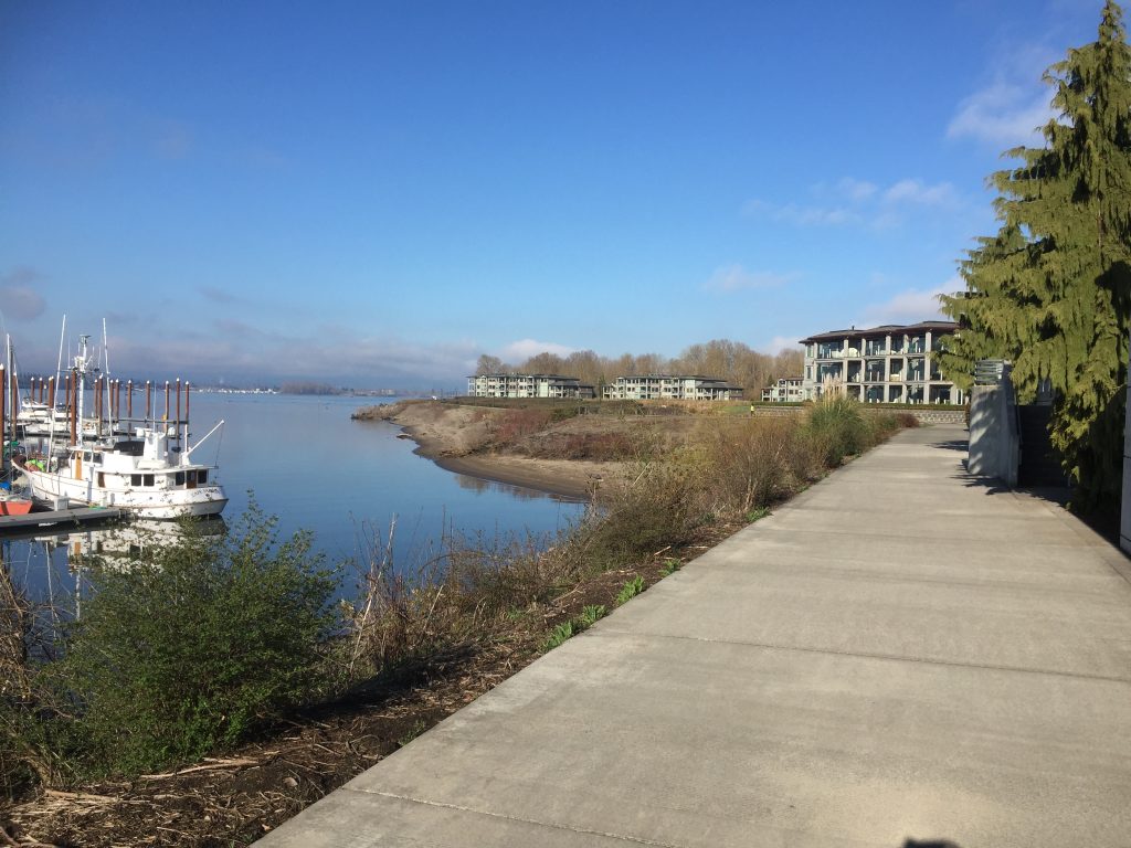
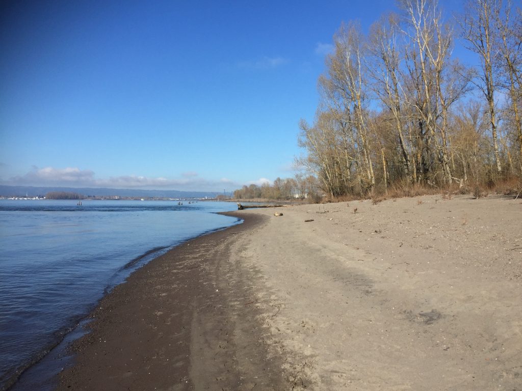
Wintler Park serves as a great place to start a walk along the Waterfront Renaissance Trail. It is at the east end of the trail taking you just over 4 miles into the Vancouver waterfront. Along many areas you can choose to stick to the paved path, or take side trails down to the beach and walk along the river shore. There are also side trails to interesting view points such as the end of the Jetty at Tidewater Cove Marina and the Henry J. Kaiser Shipyard Memorial.
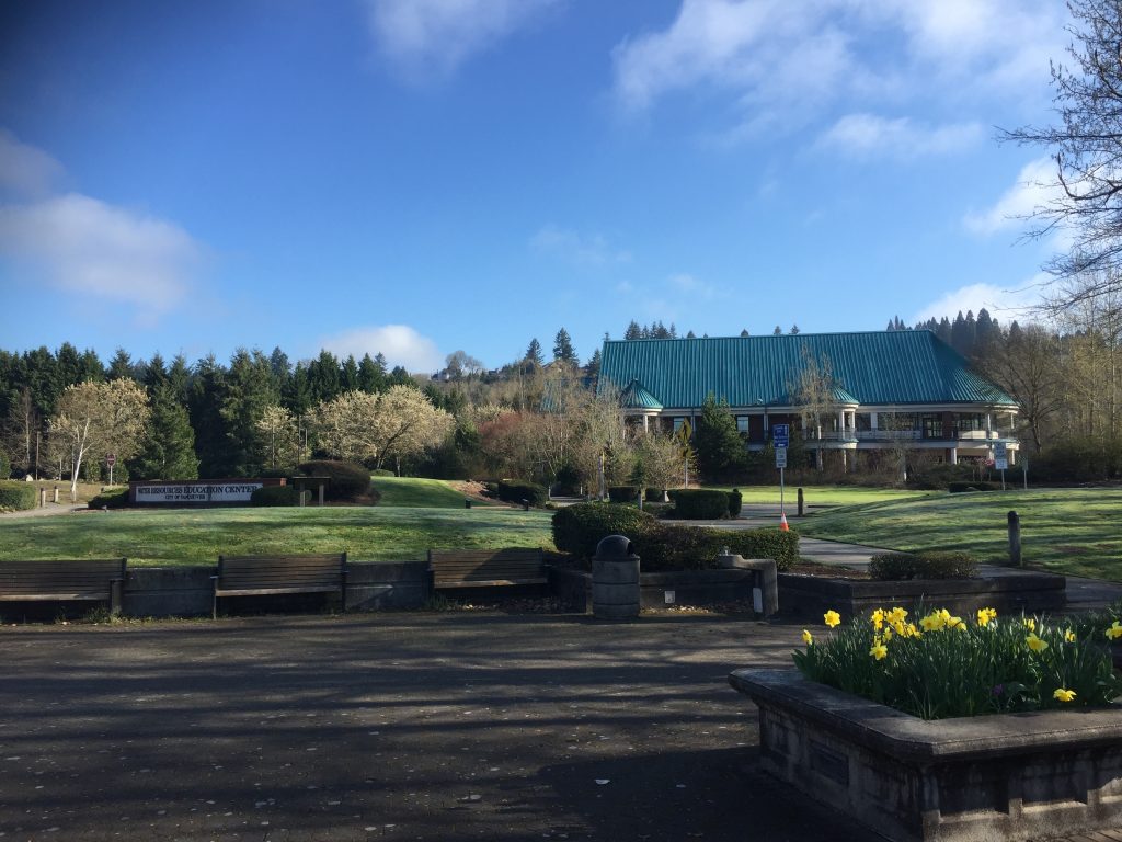
Be aware that Wintler Park is a very popular beach destination on sunny hot summer days and the parking will fill up. During the busy season it would be best to park somewhere else to walk the trail, such as at the Vancouver Water Resources Education Center or at parking for Marine Park.
Wintler Park
Wintler Park
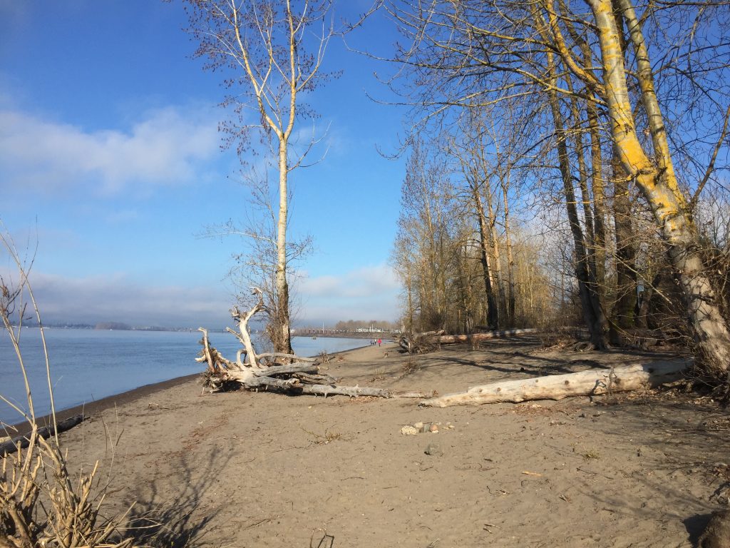
Beach at Wintler Park
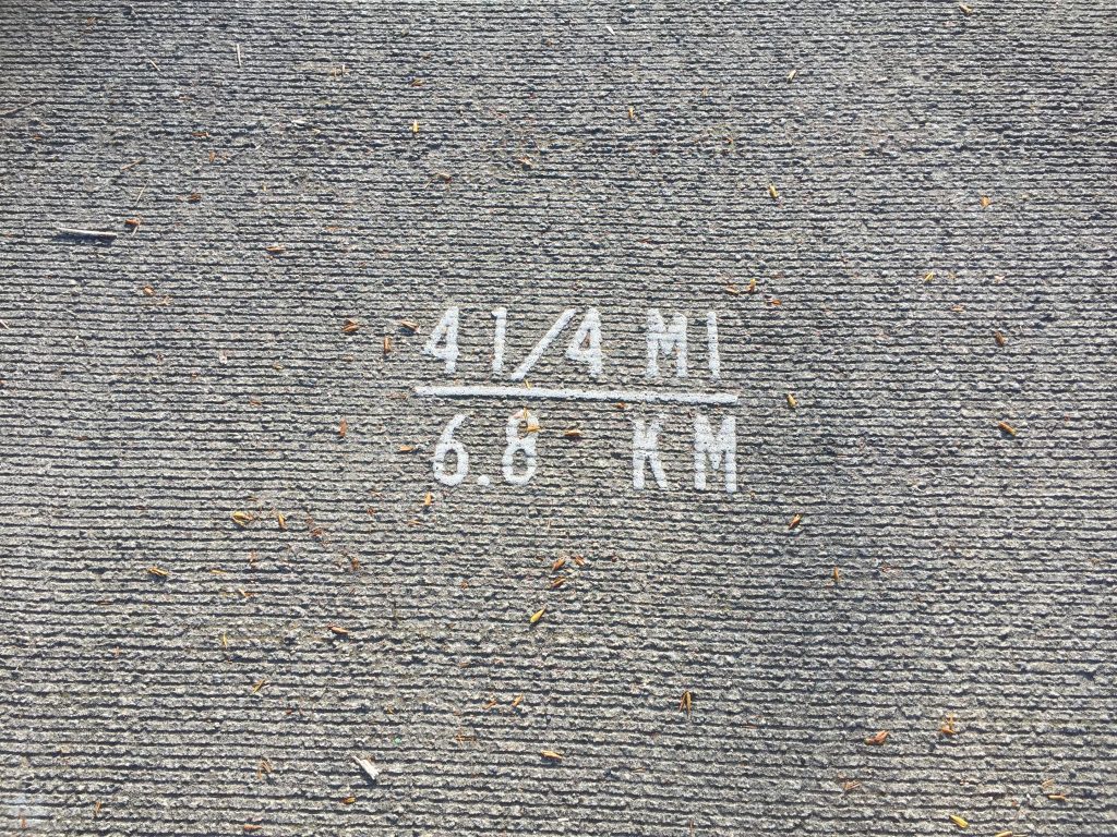
Distance mark in Wintler Park on the River Renaissance Trail
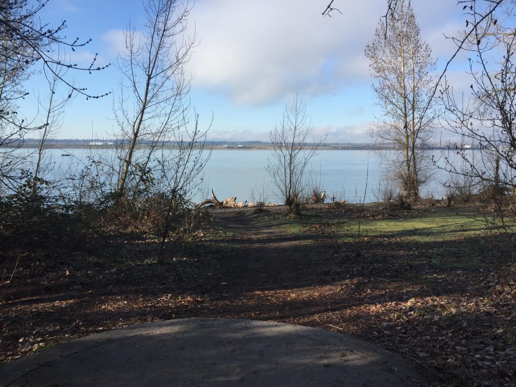
Natural area near the Vancouver Water Resources Education Center
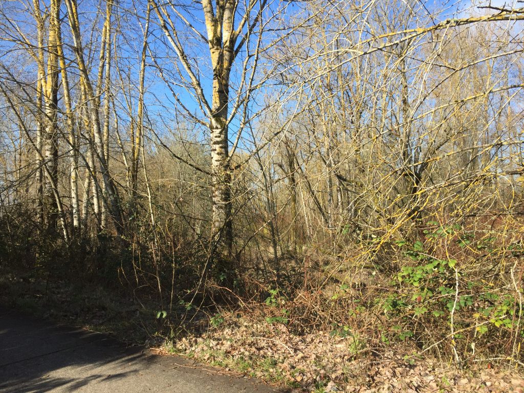
Side trail near the Vancouver Water Resources Education Center
Columbia River wetlands near the Vancouver Water Resources Education Center
Hathaway Park has a playground, ball field, boat launch, and rough trail along the river. You can take a stroll through the park, or you can take a more challenging walk up the river. When I reached the bend in the river, I realized I had been there before, because I had previously come down river along the trail from the Schmid Family Park. This means there is a more or less walk able trail for roughly half a mile.
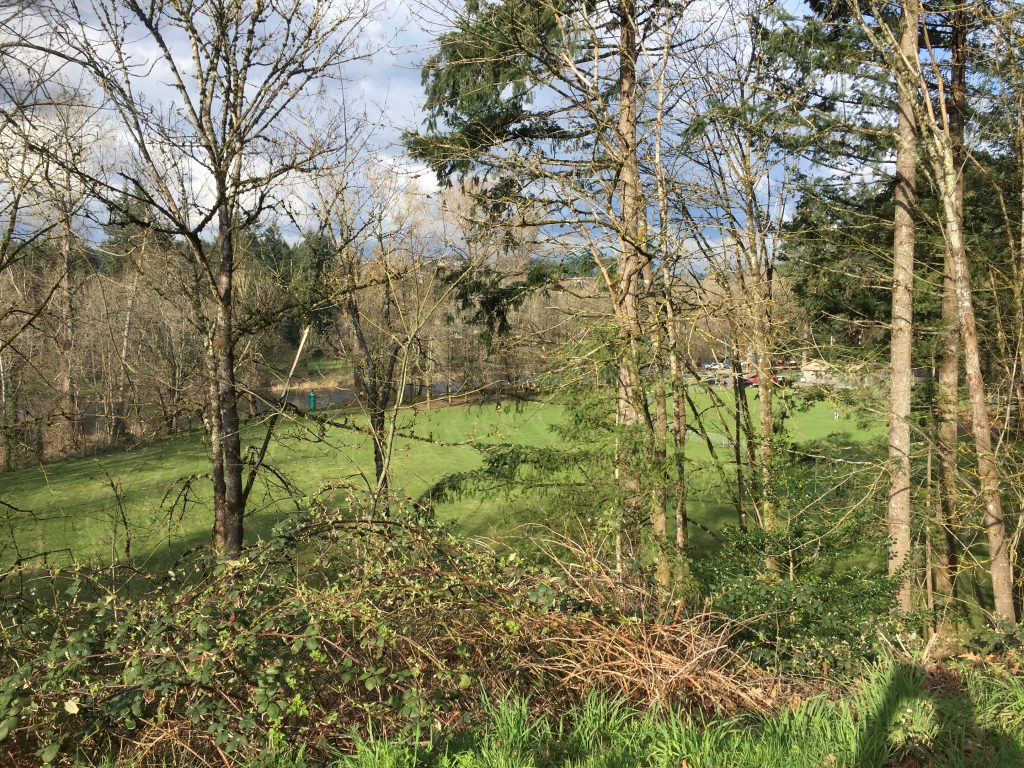
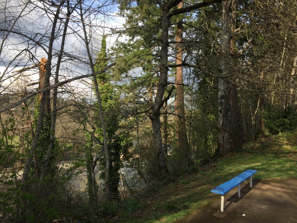
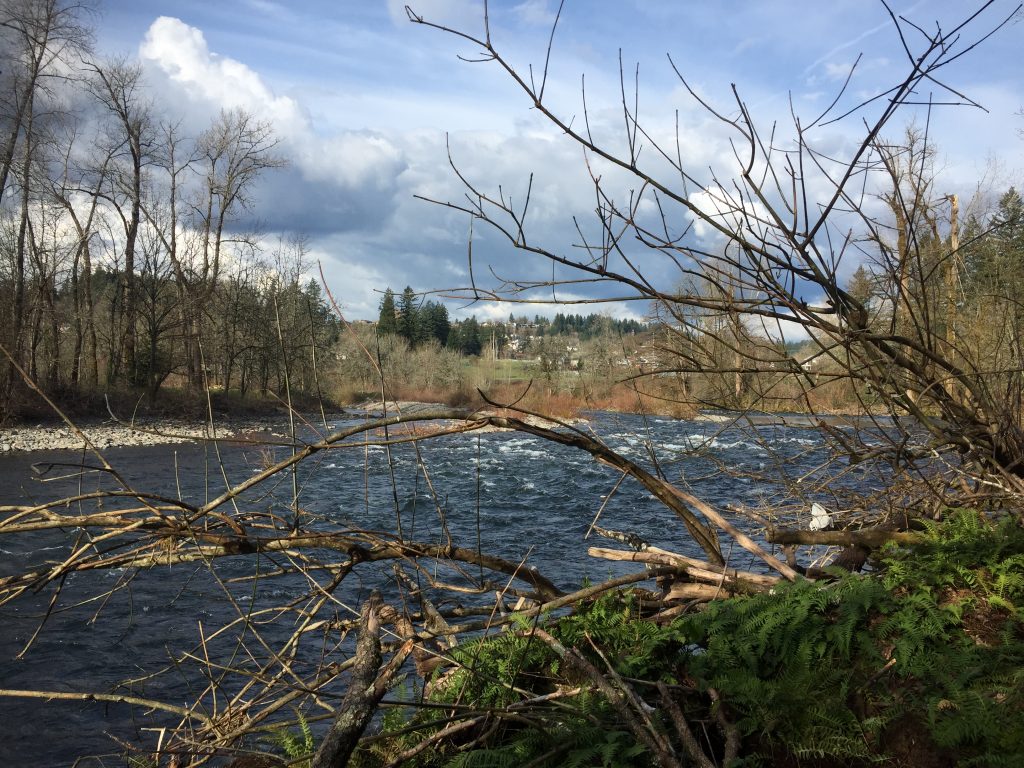
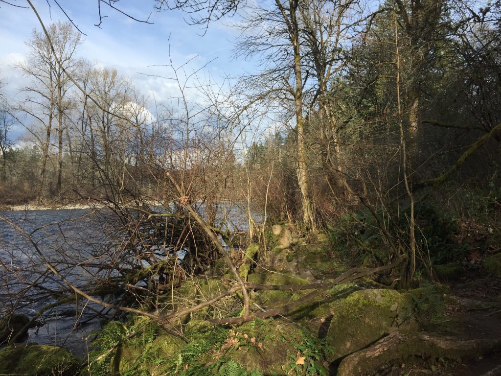
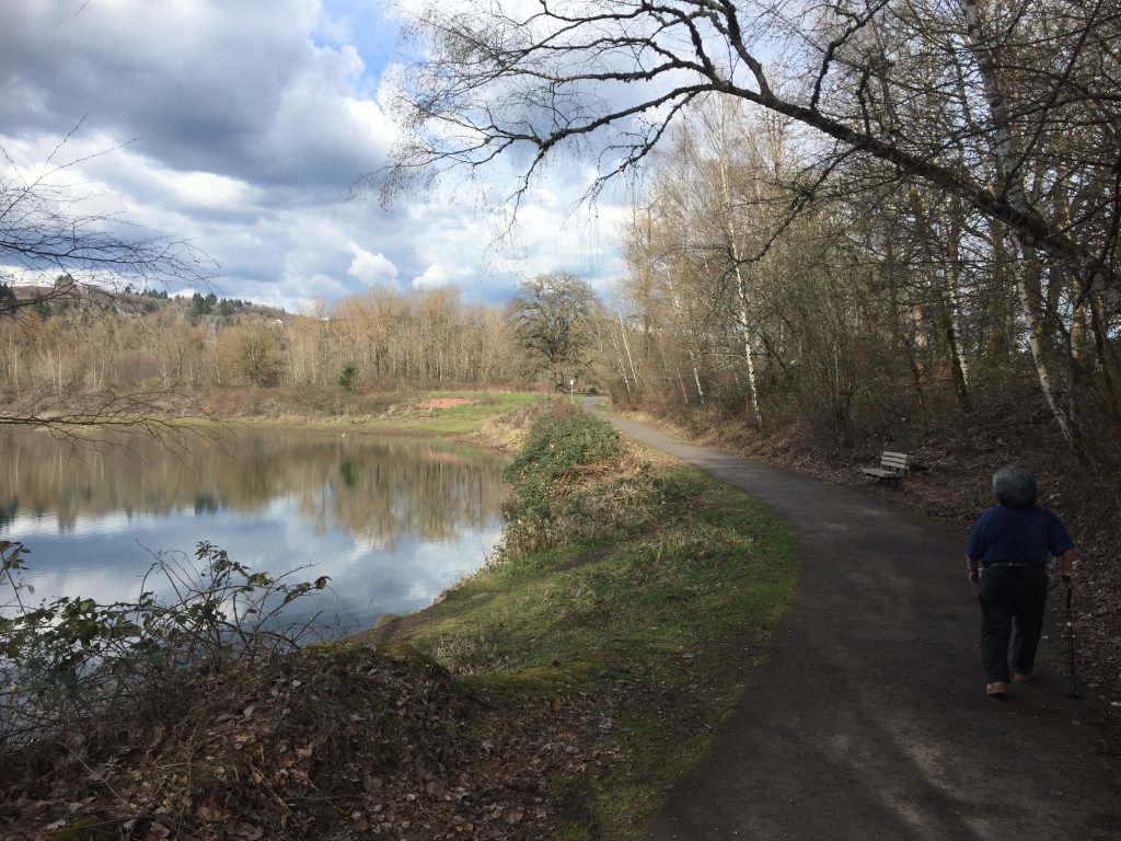
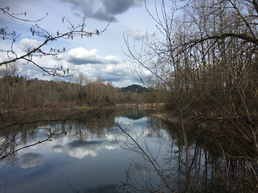
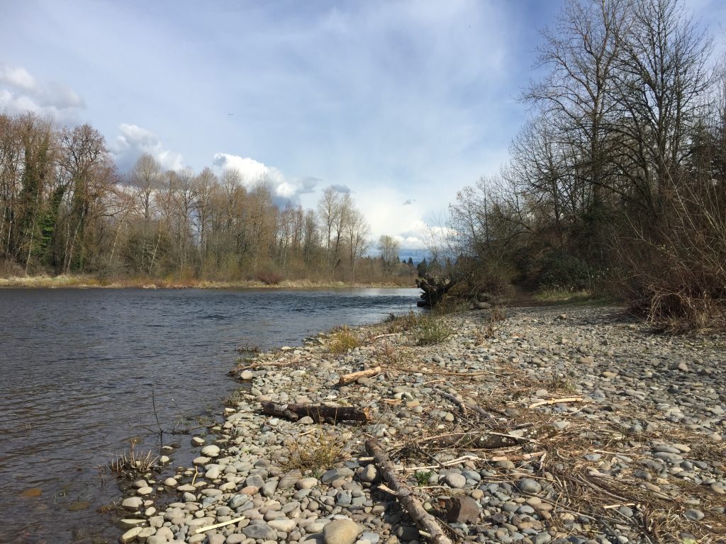
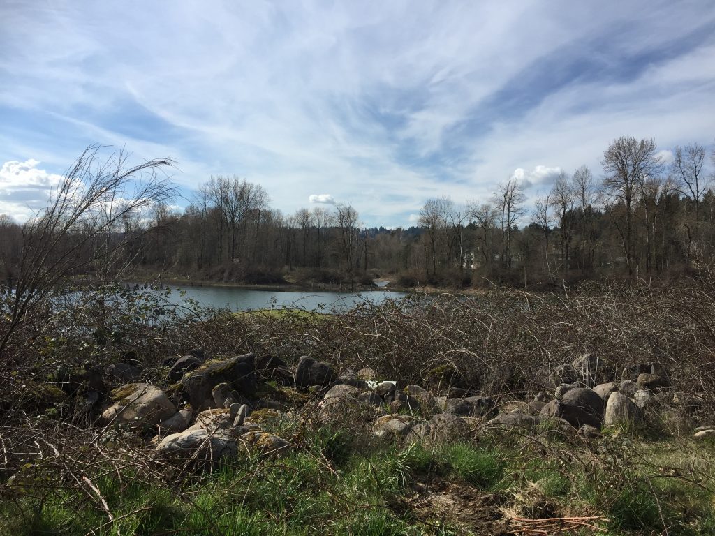
The Washougal River Greenway Trail is a great place to take a walk through natural landscape, along the river, and explore a little. The two ends of the Greenway Trail are at NE 3rd Loop and at Beaver Park. Both areas have space for parking, though more at the Beaver Park end.
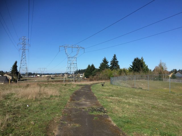
From the NE 3rd Loop trail head, you could walk a short distance northwest, across 3rd Ave, and start up the Lacamas Creek Trail. Along the Greenway trail, there are several unpaved side trails that can take you either to the river, and around the ponds. At the Beaver Park end, you could continue on to Goot Park (also where the nearest public restrooms are located) and loop back across the fields under the power lines to reconnect from side trails.
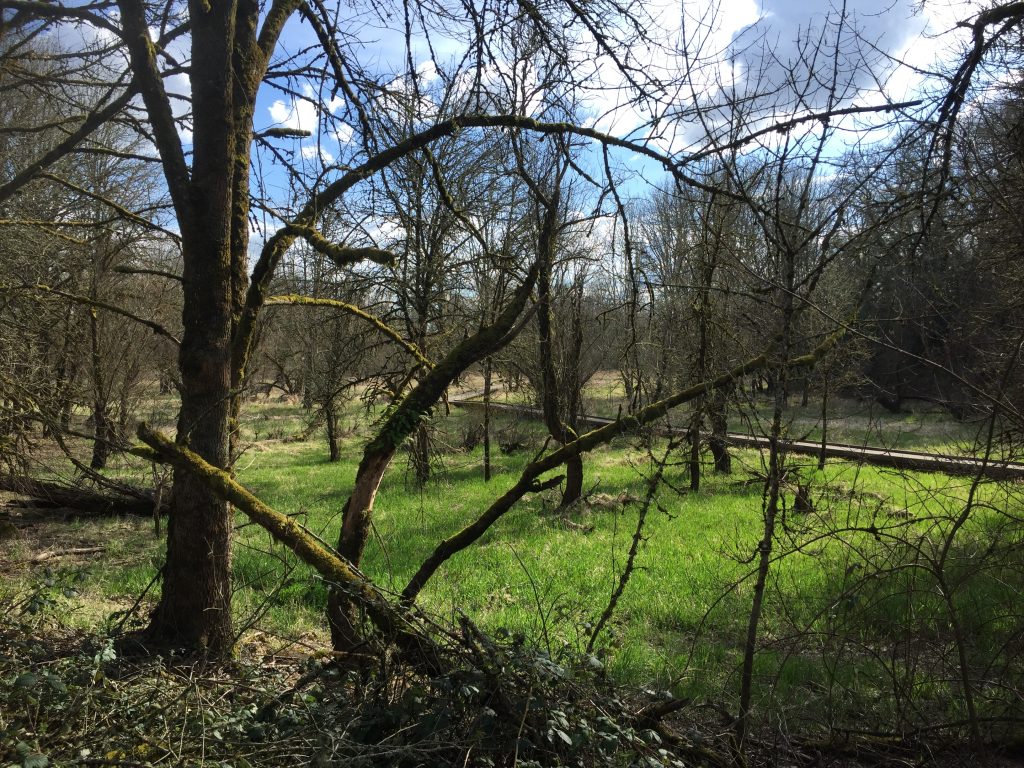
The other side of the Washougal River has another area of trails to explore along the Washougal River Greenway.
Washougal River Greenway Trail
Washougal River Greenway Trail
Washougal River from the Greenway Trail
Washougal River Greenway Trail
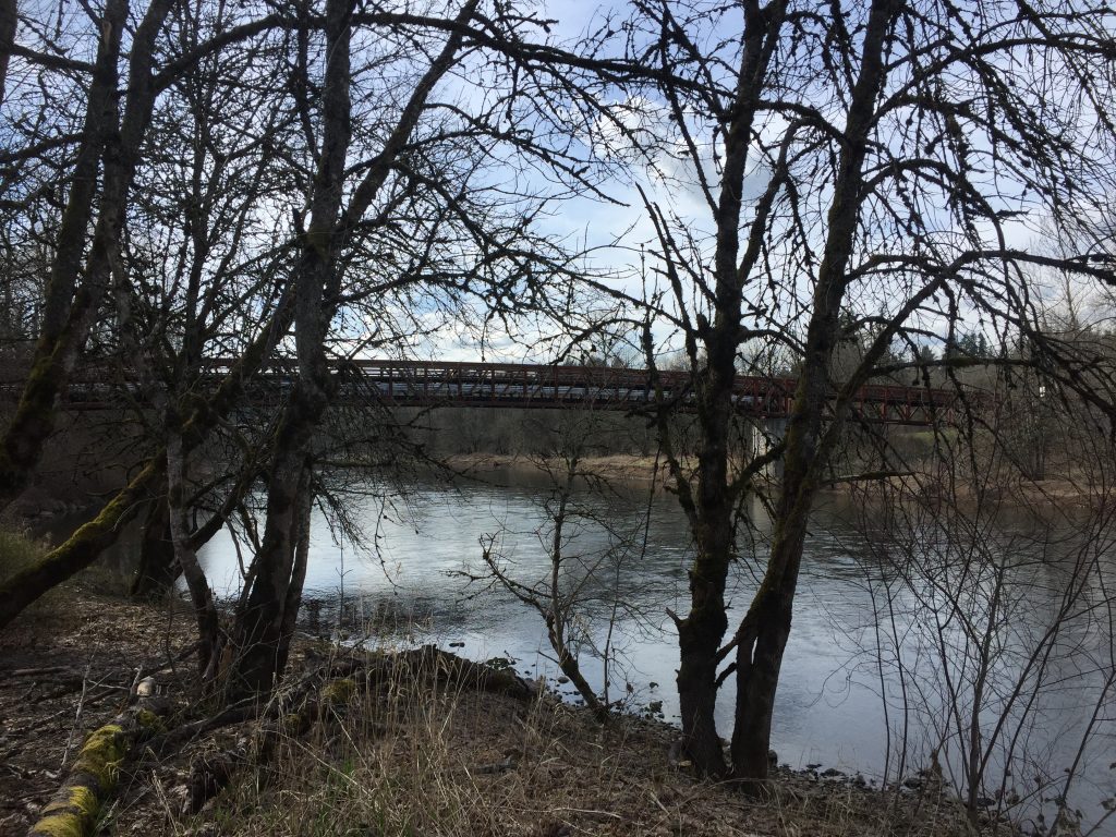
Washougal River Greenway Trail bridge.
Pond along the Washougal River Greenway Trail
Washougal River
Pond along the Washougal River Greenway, Beaver Park.
This is a little trail, only 700 ft to walk out around and back, and it is rather neglected. I decided to post about it, because where it is situated it could serve as a link in a much larger network, if trails along the BPA right of way are completed and connected. It would be a small task to connect this trail through from 58th Ave to 56th Ave. The bigger step would be making east and west connections along the BPA right of way.
The quiet neighborhood of Winchester Hills has several trails that allow for a walk or jog alongside a natural habitat area. Most of the paths are paved, but the southern most portion of the trails are not paved, and not maintained. Blackberry bushes encroach the trail in spots, and part of the fence is leaning in at another spot. This does provide an interesting little access to the natural area. I find it unfortunate that there are no through trails to connect to the Lewis and Clark Pedestrian Viewpoint. If connected with other nearby trails, this could provide a nice network.
Trails in Winchester Hills along the natural area.
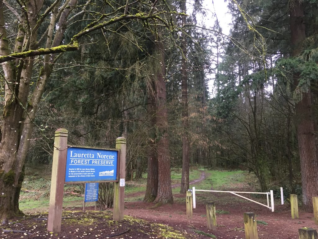
This is an area of natural forest surrounded by cleared fields with a network of trails winding through it. It is a great place for a casual walk in the woods. The most difficult part of walking these trails is getting to them. There are three points of entry, each with it’s obstacles.
You can enter from the north, by going through the Lucky Memorial Dog Park. Park at the parking lot for the Dog Park, enter the Dog Park gate, walk straight south through the fenced area, and at the far fence turn right, exit the gate and enter the nature preserve. It is also possible to walk down NE 101st Pl to reach the nature preserve, but this road is a private drive, so please be respectful of the neighbors.
To enter from the south, you park at the end of NE 97th Ave, then step over the low barbed wire fence, or through the gate, and follow the trail to the trees.
Another trail enters from the track behind Laurin Middle School, but that is mostly useful for anyone coming from the school.
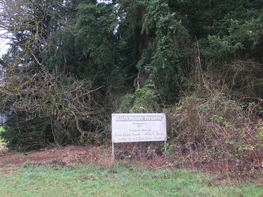
An interesting oddity is the fact that when entering from the south, there is a sign that says “Groth Nature Preserve”, and when entering from the north, there is a sign that says “Lauretta Norene Forest Preserve”. It appears that there were two adjoining plots of land dedicated by the two families to form the preserve.
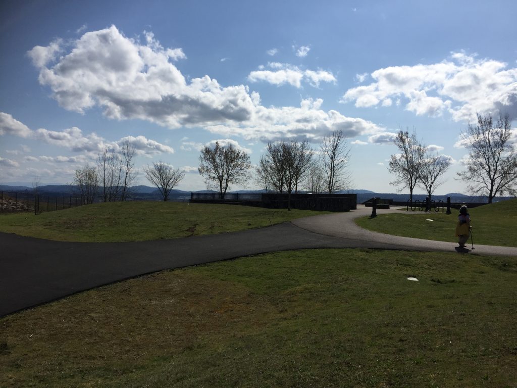
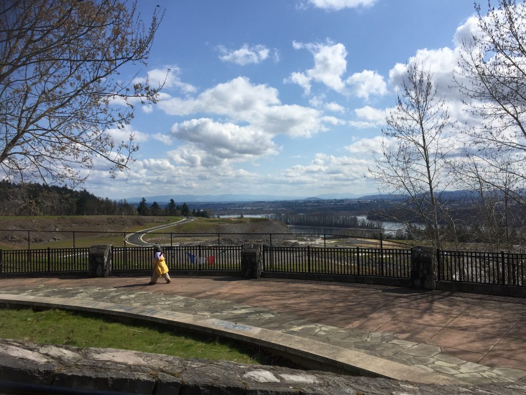
This viewpoint was built without a parking area, however there are options to park nearby and walk to it. A brand new road just completed now takes you right to it. The area just north of the viewpoint is preserved as a natural area, and has a couple trails that can make for a more interesting walk as well.
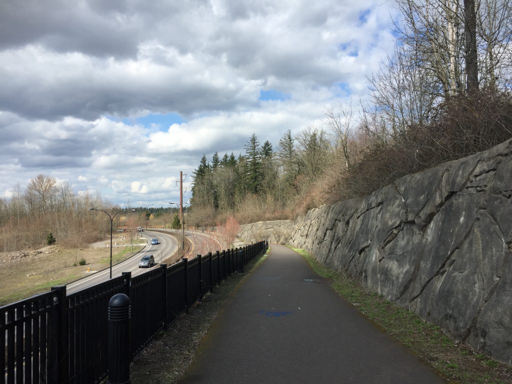
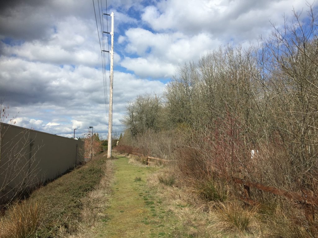
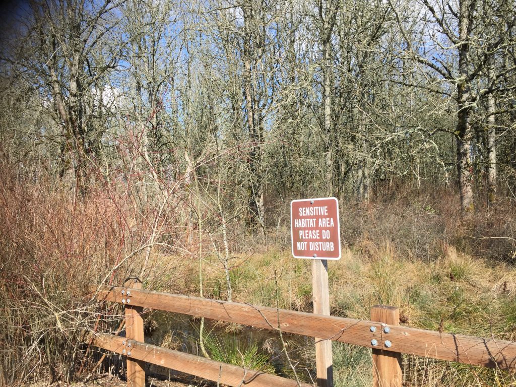
The new road to the site is not yet included in Google Maps as of this writing. It is accessed from a new traffic circle on SE Brady Rd. There is no open access from SE 42nd Circle. However, on SE 38th Way, you can enter a trail through the natural area. Follow this trail until you hit the back of the QFC. Turn left and follow that trail parallel to the overhead power lines until you reach the path along 192nd Ave, and then up to the Viewpoint. The trails in this natural area can also be entered from behind Symmetry Massage and Fitness, from next to Radiance Dental Assisting Academy, and from the parking lot near the UPS Store.
If you don’t want to walk through the nature area, but want to walk to the Viewpoint, the parking lots near QFC provide a good option. Just walk south along the east side of 192nd Ave to the path up to the Viewpoint. As the area below the Viewpoint is being developed with new roads and multi-use paths, more options are opening up for parking nearby.
Lewis and Clark Trail Stop Pedestrian Viewpoint
Lewis and Clark Trail Stop Pedestrian Viewpoint
Path to the Lewis and Clark Trail Stop Pedestrian Viewpoint