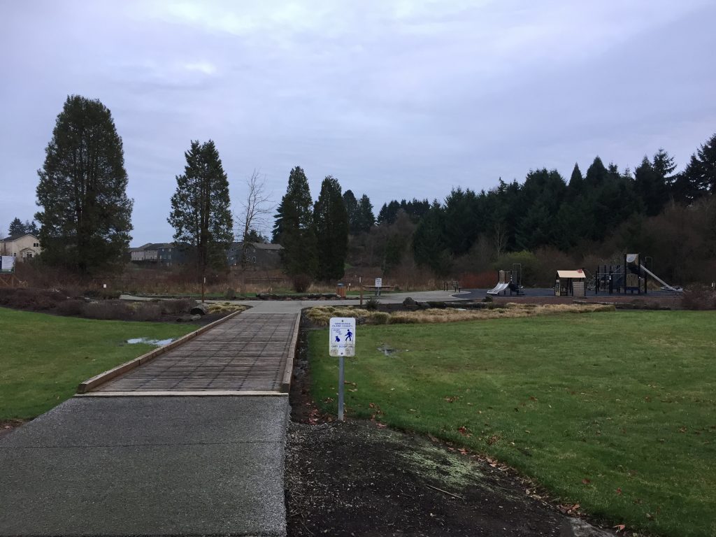
Kate and Clarence LaLonde Neighborhood Park
To enter and walk the path at this park, you should park on the north side, at the end of 102nd St. It’s a nice little loop path of just over a quarter mile.
Kate and Clarence LaLonde Neighborhood Park
To enter and walk the path at this park, you should park on the north side, at the end of 102nd St. It’s a nice little loop path of just over a quarter mile.
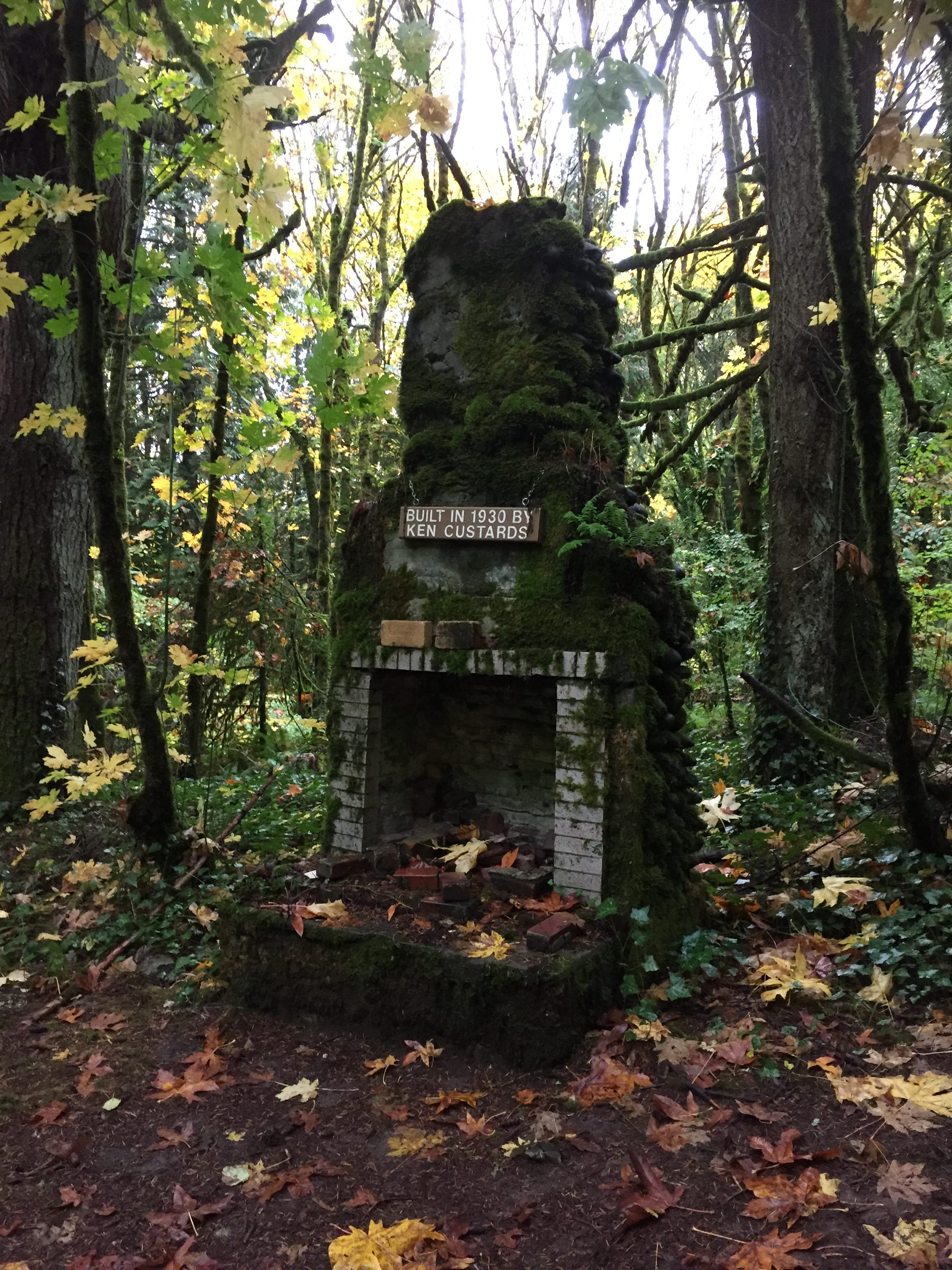
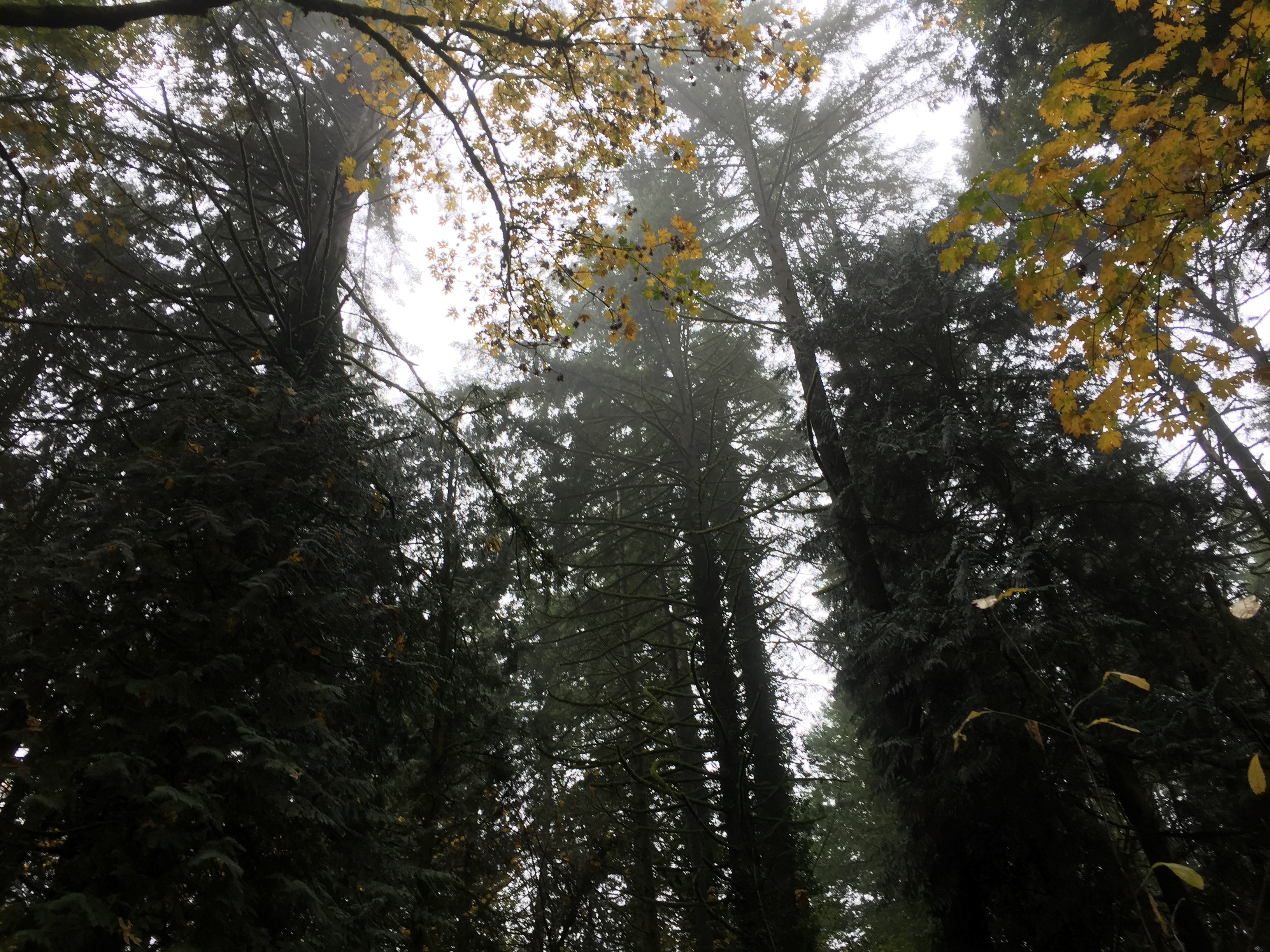
Jorgenson Woods Neighborhood Park
This small forested park has a quarter mile of paved and dirt paths meandering through a cool comforting forest.
Enter at NW 3rd Ave and NW 72nd Circle, at the end of NW 70th St west from NW 3rd Ave, or at the end of NW 72nd Circle east from NW Anderson Ave.
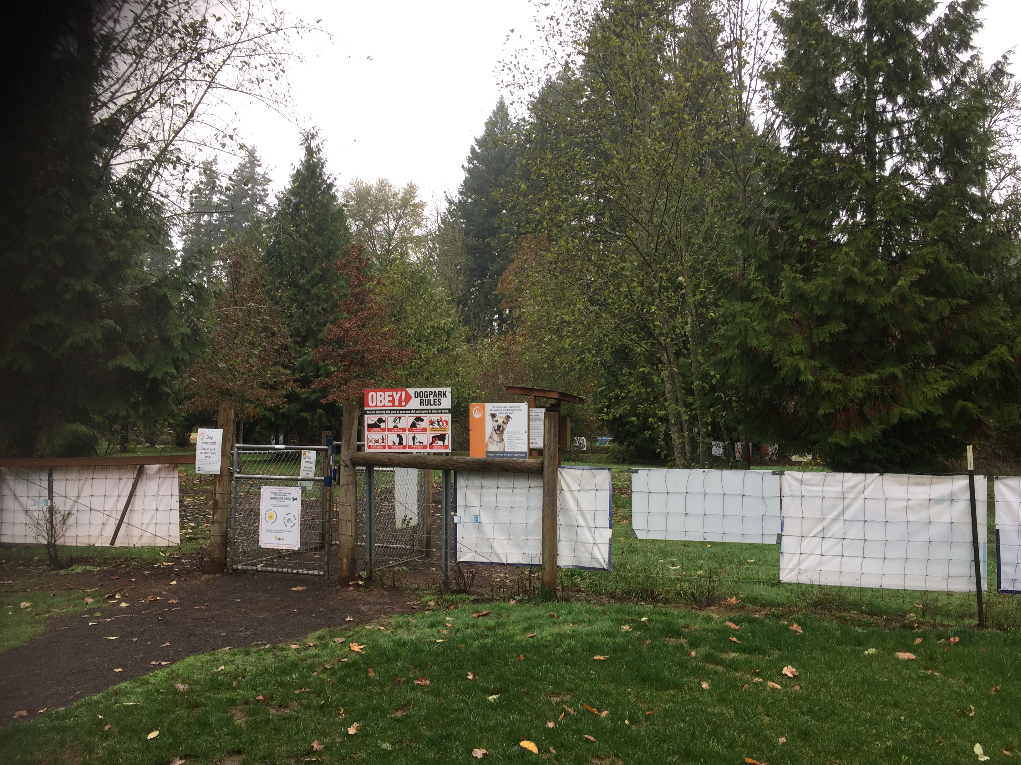
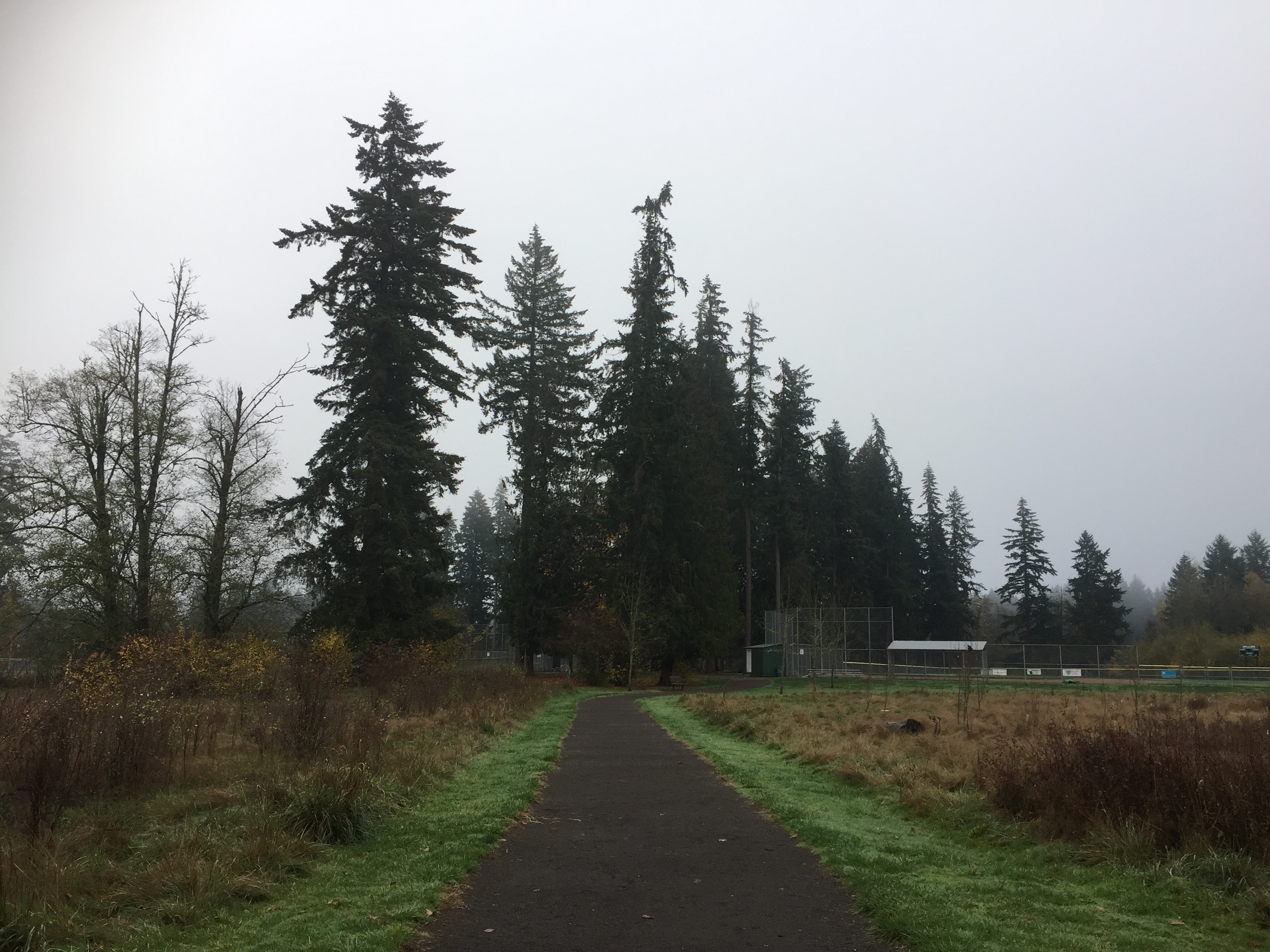
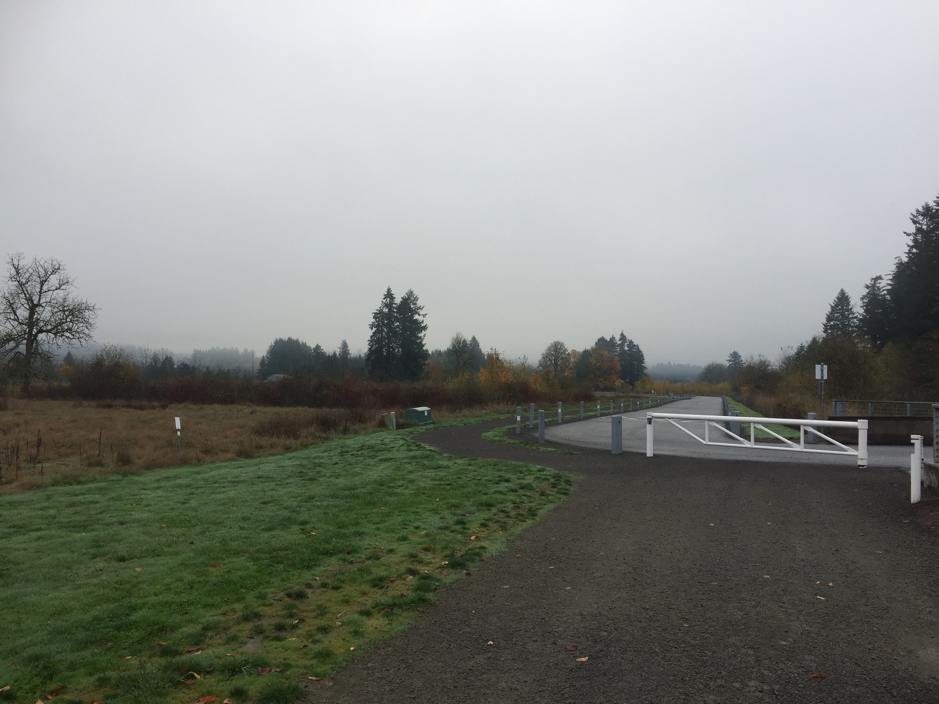
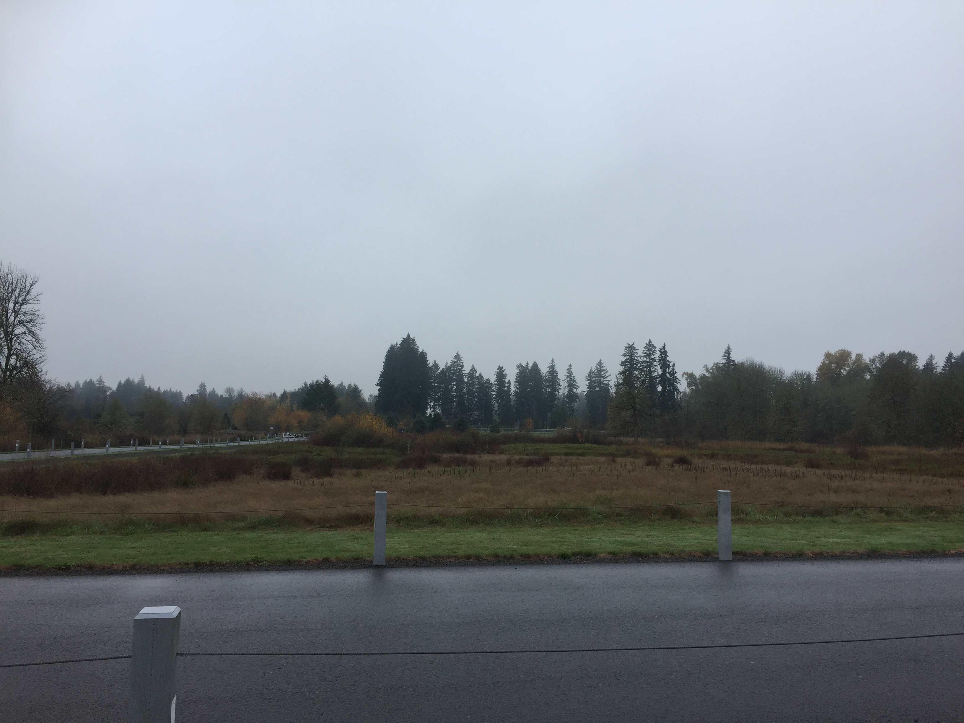
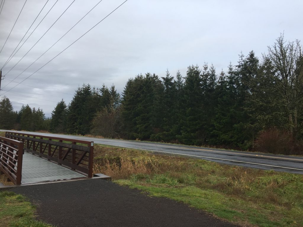
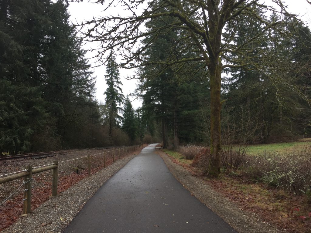
Hockinson Meadows Community Park
Wherever you park, you can easily follow the main path through the park, through the forested area, then along side the roads to the parking for a complete loop of just under one mile.
Be warned, watch your step. There is a nice big off-leash dog park, which is great to have, but unfortunately I noticed some of the dogs leave deposits elsewhere along the trail.

A path that extends along the entrance drive, also follows 172nd Ave north to 119th St. This gives a 3/4 mile path from the parking lot to walk, jog or bike. You can also ponder a little history on this walk. On the other side of 172nd Ave is China Ditch, so named because it was dug by Chinese labor to drain the surrounding swampy lands. I walked this after a heavy rainfall, so there were several large puddles in the path to skirt around.
This is not a park with extensive trails, but it is a nice little forested area with a trail that loops up along the north line.
Fairgrounds Community Park has a paved loop path of about a half mile, but there is also a dirt trail that exits the park on the north side to connect with the Clark County Event Center. The trail runs alongside the fields used for parking at the Event Center, then turns back toward the south to meander south and west through the woods emerging at a field which can be crossed to reach 11th Ave to connect with the trail to Whipple Creek Regional Park. The trail through the forest (just shy of a half mile) is a nice walk on it’s own. The path across the field (just over a quarter mile) is not cleared, which might not be a problem if you are on horseback, but when walking it can take some searching, or some walking through tall grass to find your way. Late summer or early fall, the field was cut, so paths across the field are easier to find.
There is an inconspicuous dirt trail connecting through the woods at the south end of the field. From the park side, go to the western-most curve of the paved path. To the west you will find a trail entering the trees. This path meanders through the wooded area to the field, and then a trail can be followed along the edge of the field up to the northern trail that wanders back through the forest. A complete circuit of these trails is about 1 mile.
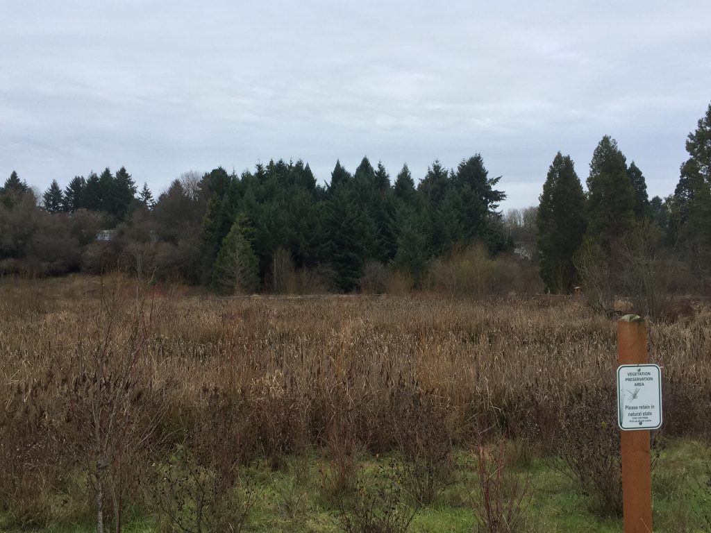
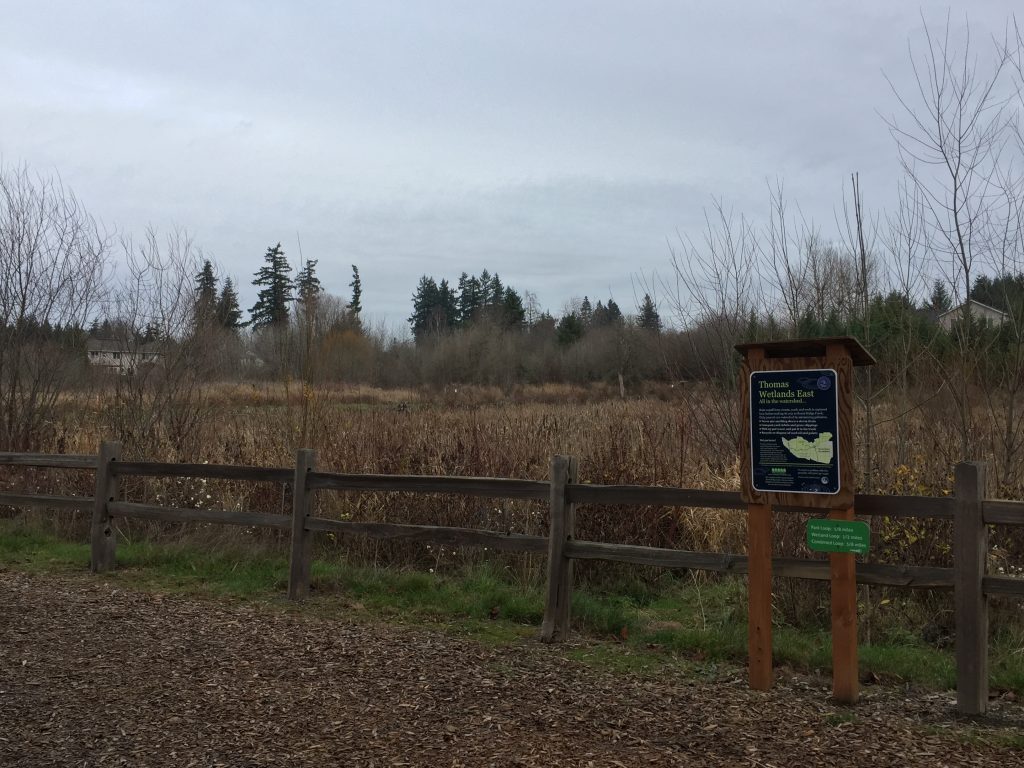
Douglas Carter Fisher Neighborhood Park
This small park is adjacent to a wetland, the last remnants of what was once a 29 acre lake. The barkdust trail around the wetland is a half mile. When I was there, shortly after rains, the short loop trail around the park was muddy, but the longer loops around the wetland were perfectly fine for walking.
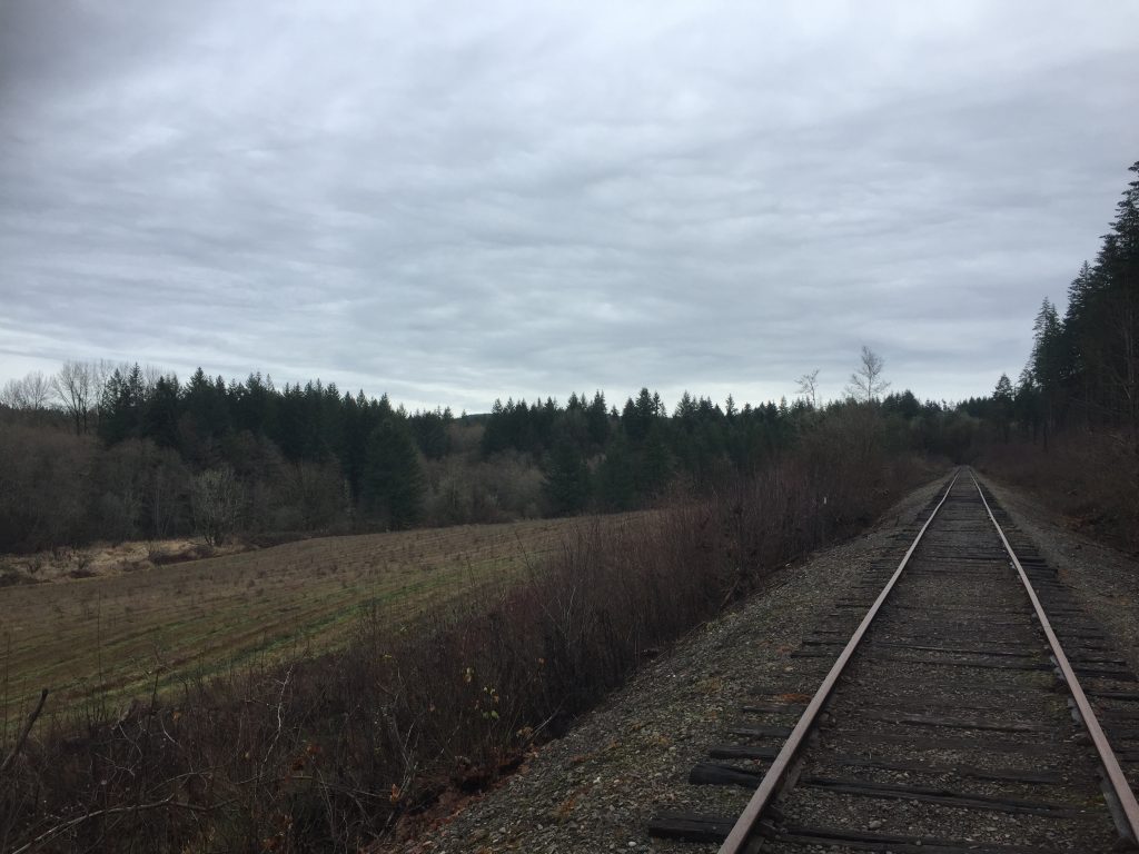
Chelatchie Prairie Rail With Trail is an out and back 1 mile paved level path that starts at Battle Ground Lake State Park. Note that inside the entrance to Battle Ground Lake State Park Clark County provides three parking spaces marked for the Chelatchie Prairie Trail where you can park without paying the State Park fee or having a Discover Pass. Total round-trip walking distance from the parking spaces, to the end of the trail and back is approximately 2.5 miles.
The roughest part of this trail, is the stretch from the parking area to the trail itself. After rains, this section can be muddy, but you do have the option of just walking out onto the park entrance road to reach the paved trail.
The long term plan is to complete a multi-use trail along the full 33 miles of the Chelatchie Prarie Rail line. This plan is held up by the cost of constructing sections where it passes through some areas of slope that would require costly engineering to complete.
There are options to continue further, or to loop back to the park.

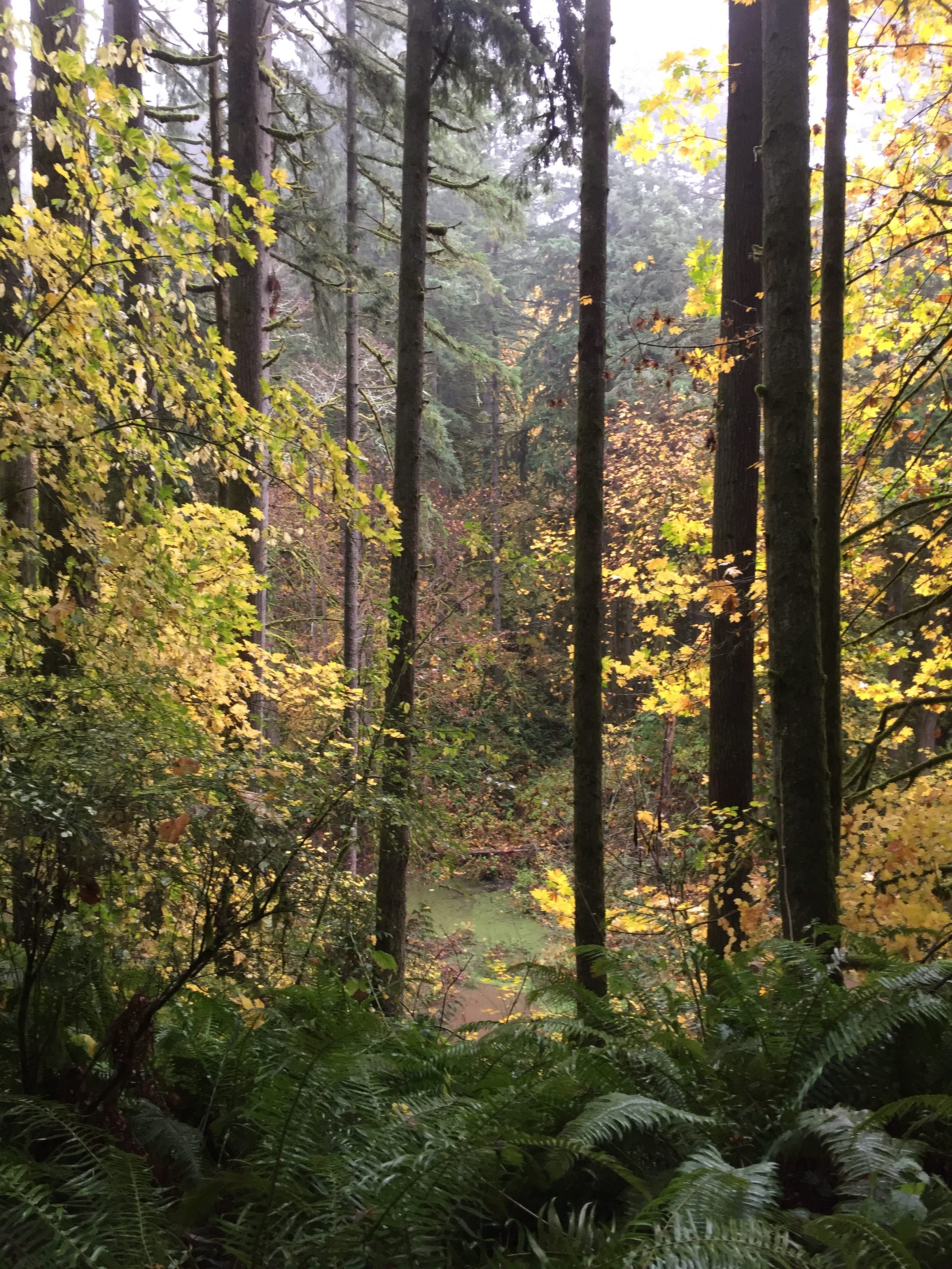
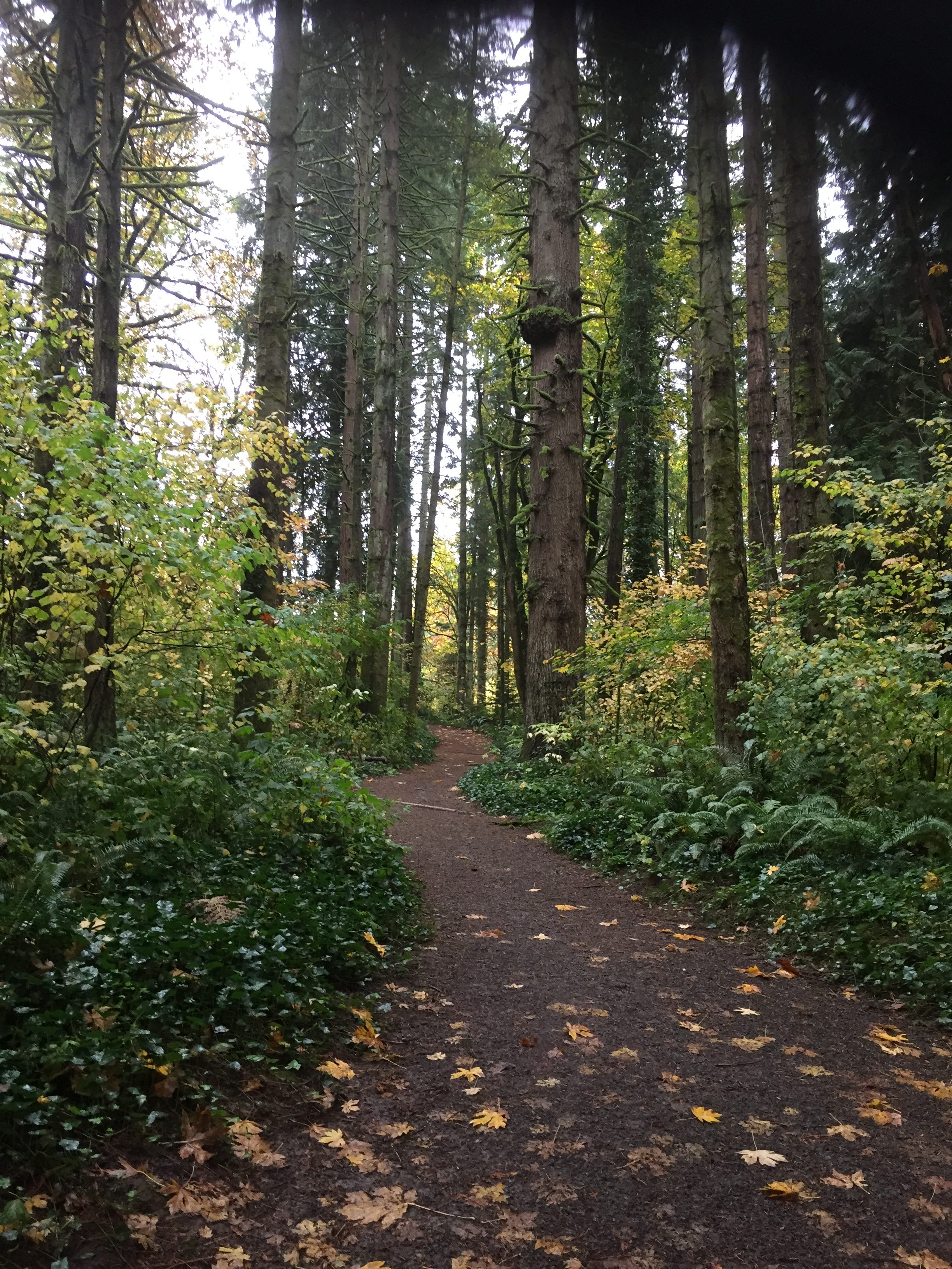
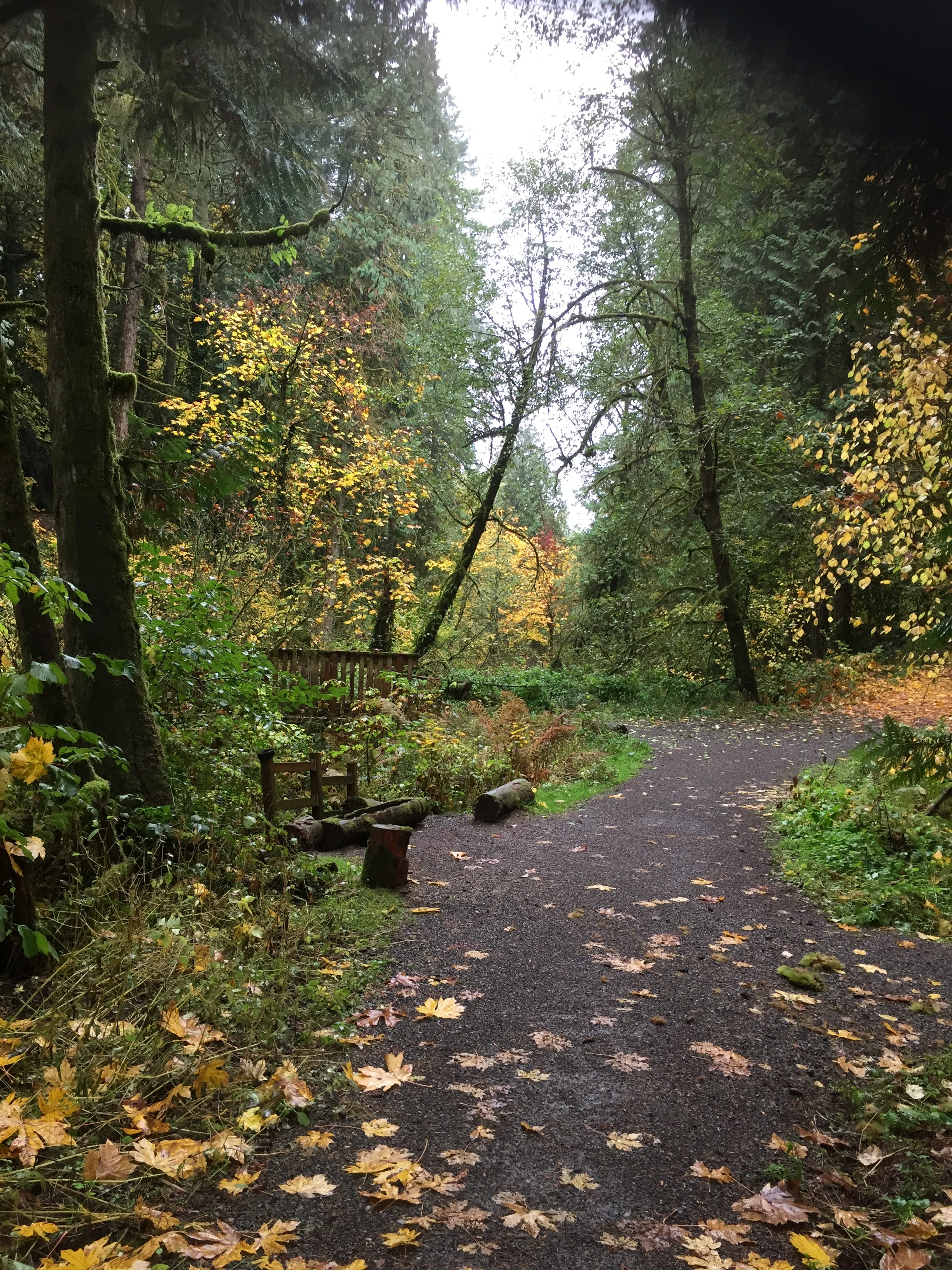
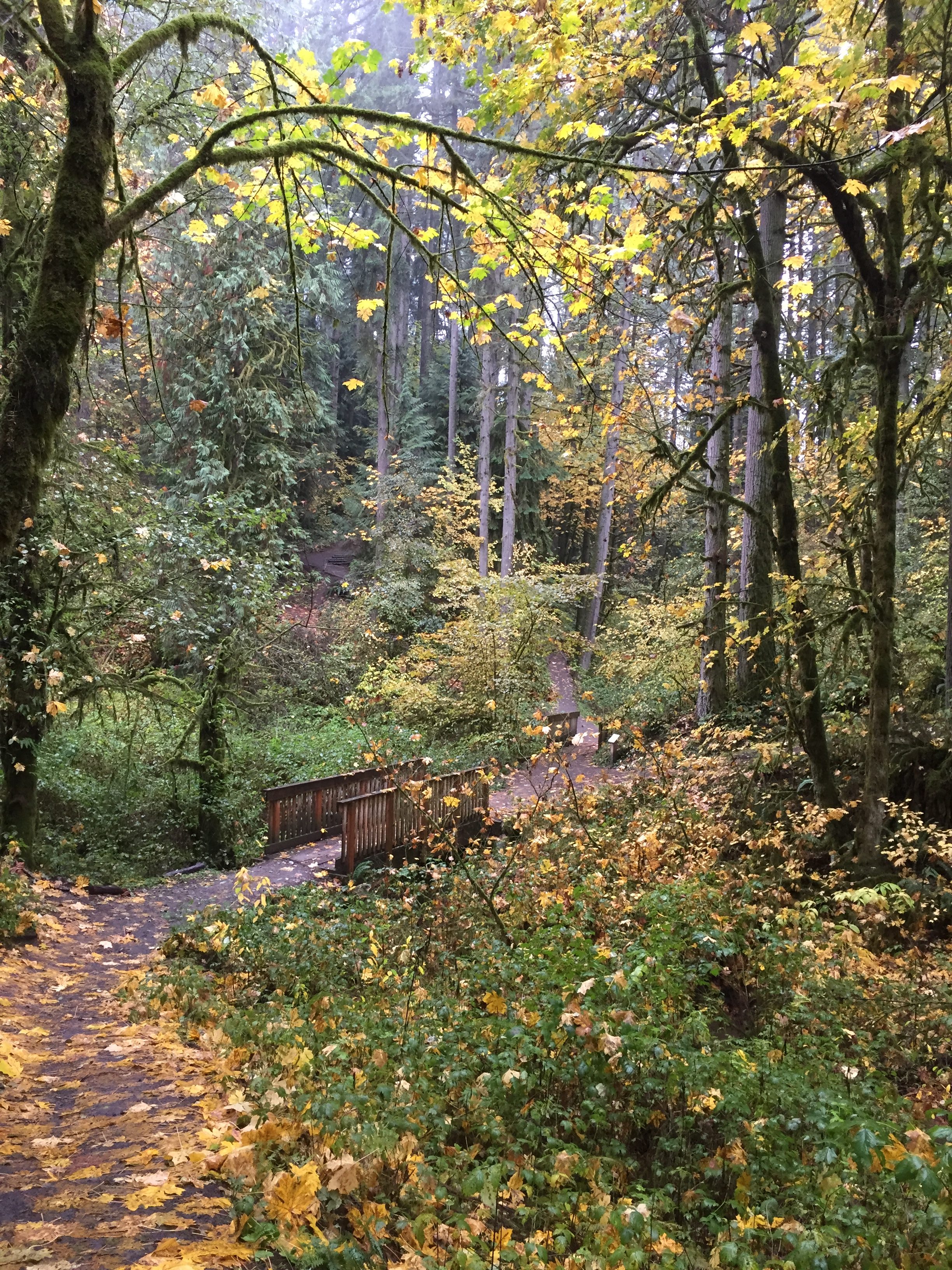
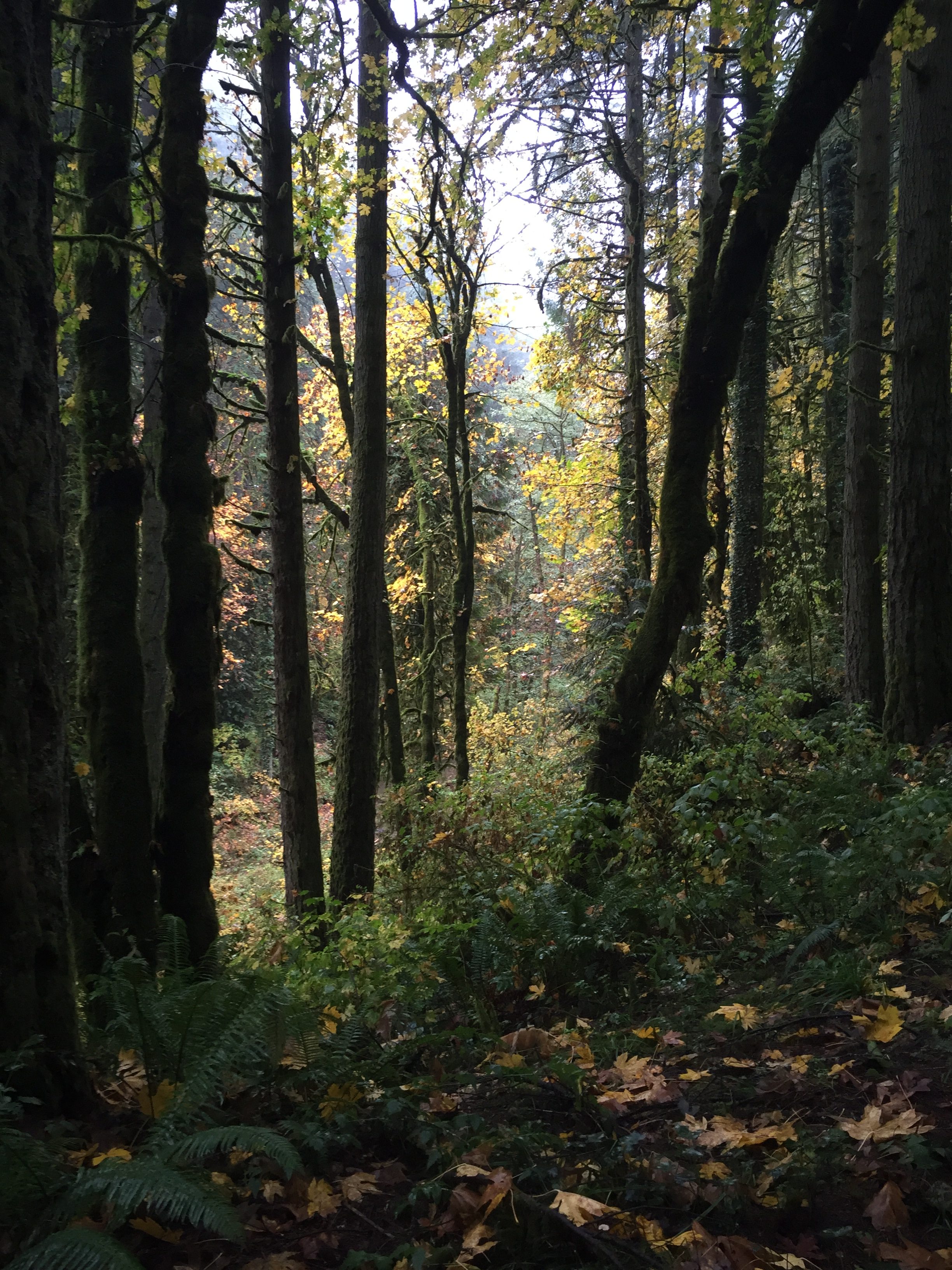
This is a great area to hike or ride a horse or a bike. Numerous trails allow for new experiences when revisiting multiple times. Be ready though for muddy conditions unless visiting in the summer after a period of no rain and no dew in the mornings.
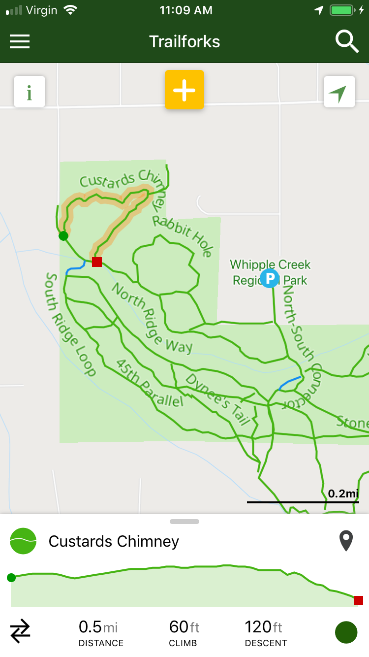
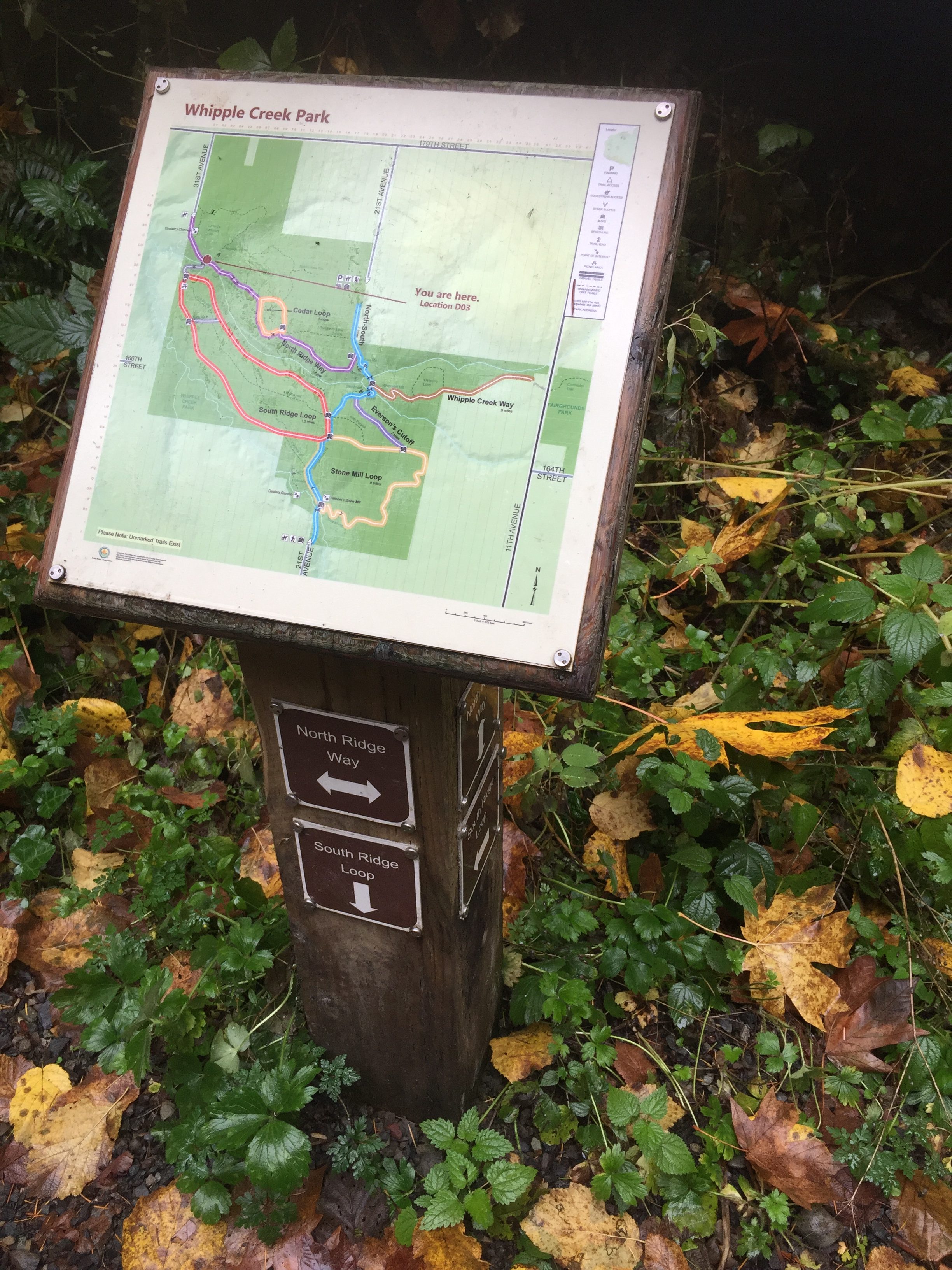
These trails are frequently used by horse riders, and the land was donated for it to be an equestrian park, so if you are biking or hiking, be ready and courteous. I will add that I have hiked on some trails frequented by horse riders that were so destroyed that I never wanted to hike them again, but the trails in this park are in very good shape, and the manure is easy to avoid as long as you watch your step. At the entrance on 21st from 179th there is a nice explanatory statement about how to be considerate of horse riders to minimize any chance of spooking the horses by accident.
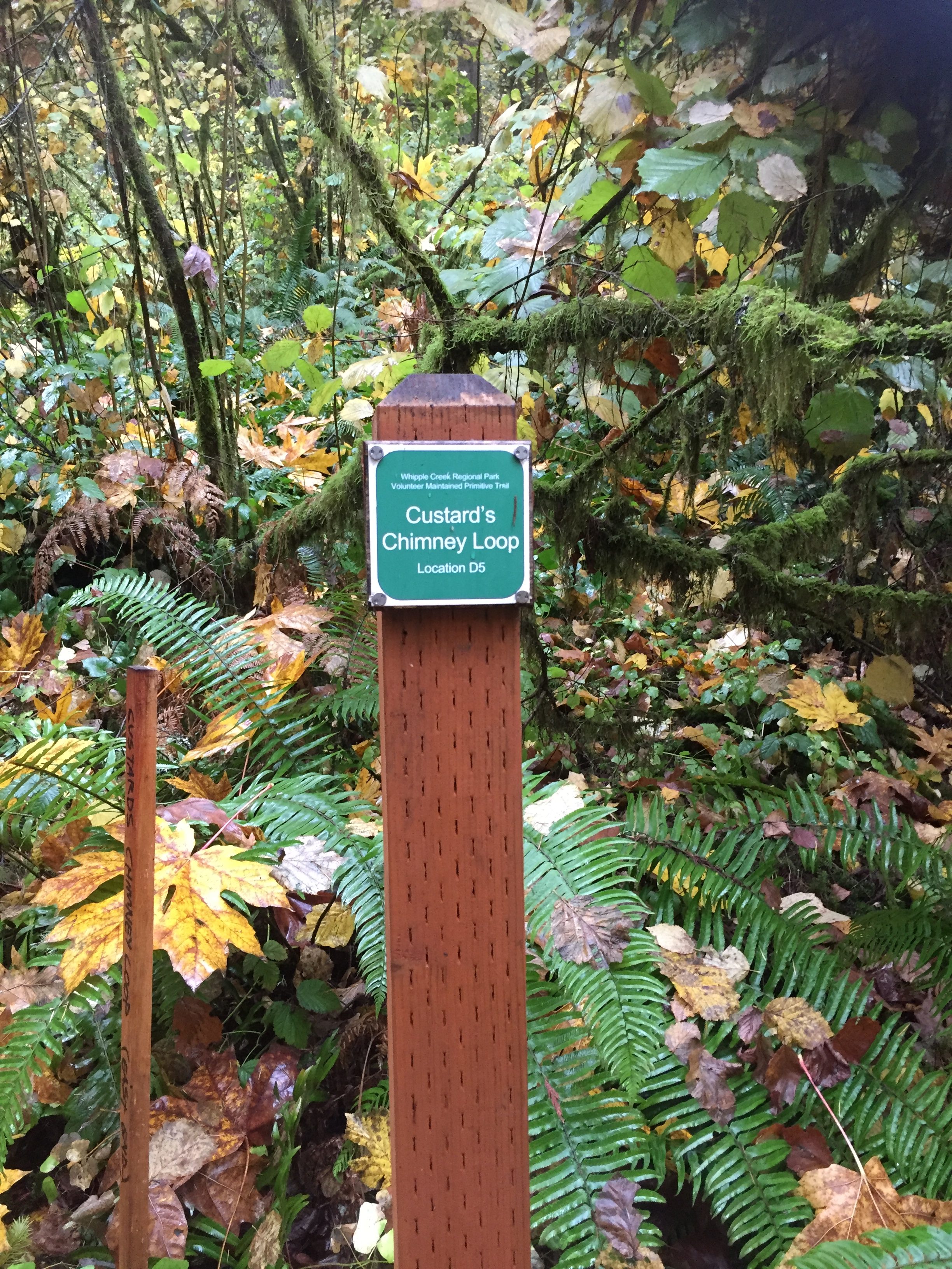
There is a large growth of English Ivy in areas of the park, and miles of trails to maintain, so the volunteers who maintain the park would be glad to have more helping hands. Visit: https://www.facebook.com/WhippleCreekPark/
There are four entrances that can be used to access the park. The main entrance, with the most parking, is reached from 179th Street by turning south onto 21st. The other three locations have very limited parking available. Click the objects in the map below for details.
Note that the trail that exits the park to the east to 11th Ave, crosses the field on the east side of 11th Ave and connects with a trail to the Clark County Fairgrounds and Fairgrounds Community Park. Crossing the field though, does not have a clear trail. You often just need to find your way through the tall grass to the forest where there is a clear trail.
This is also one area where I have seen and heard coyotes.