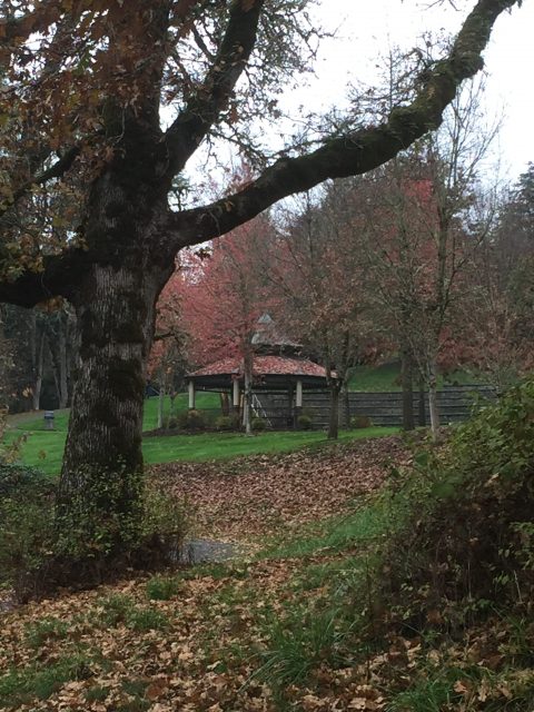
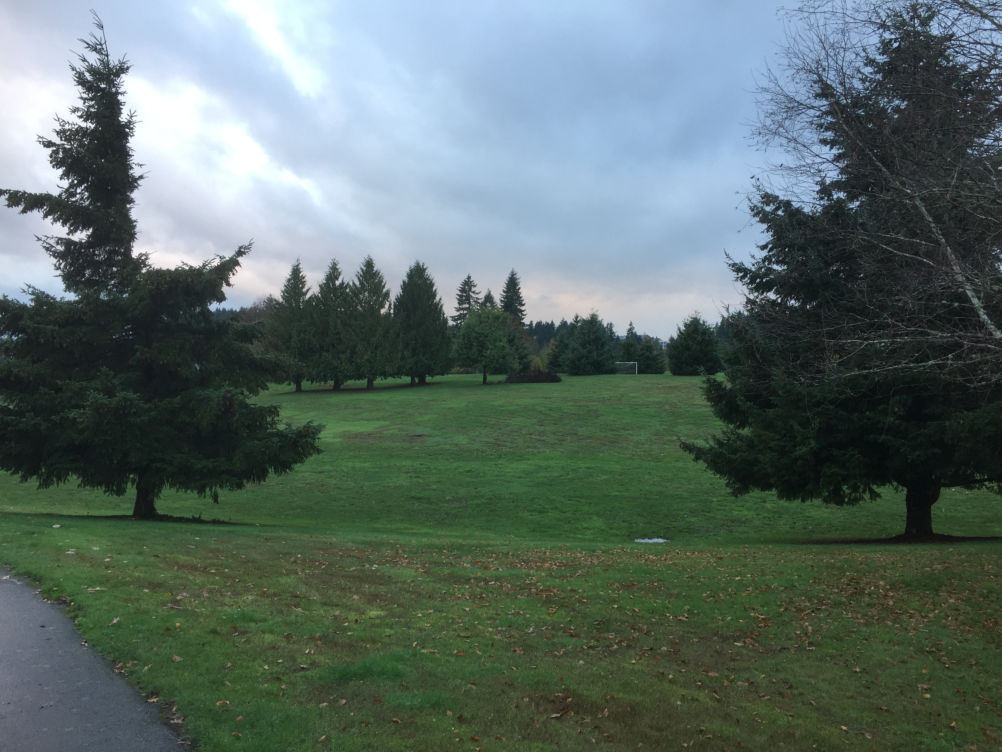
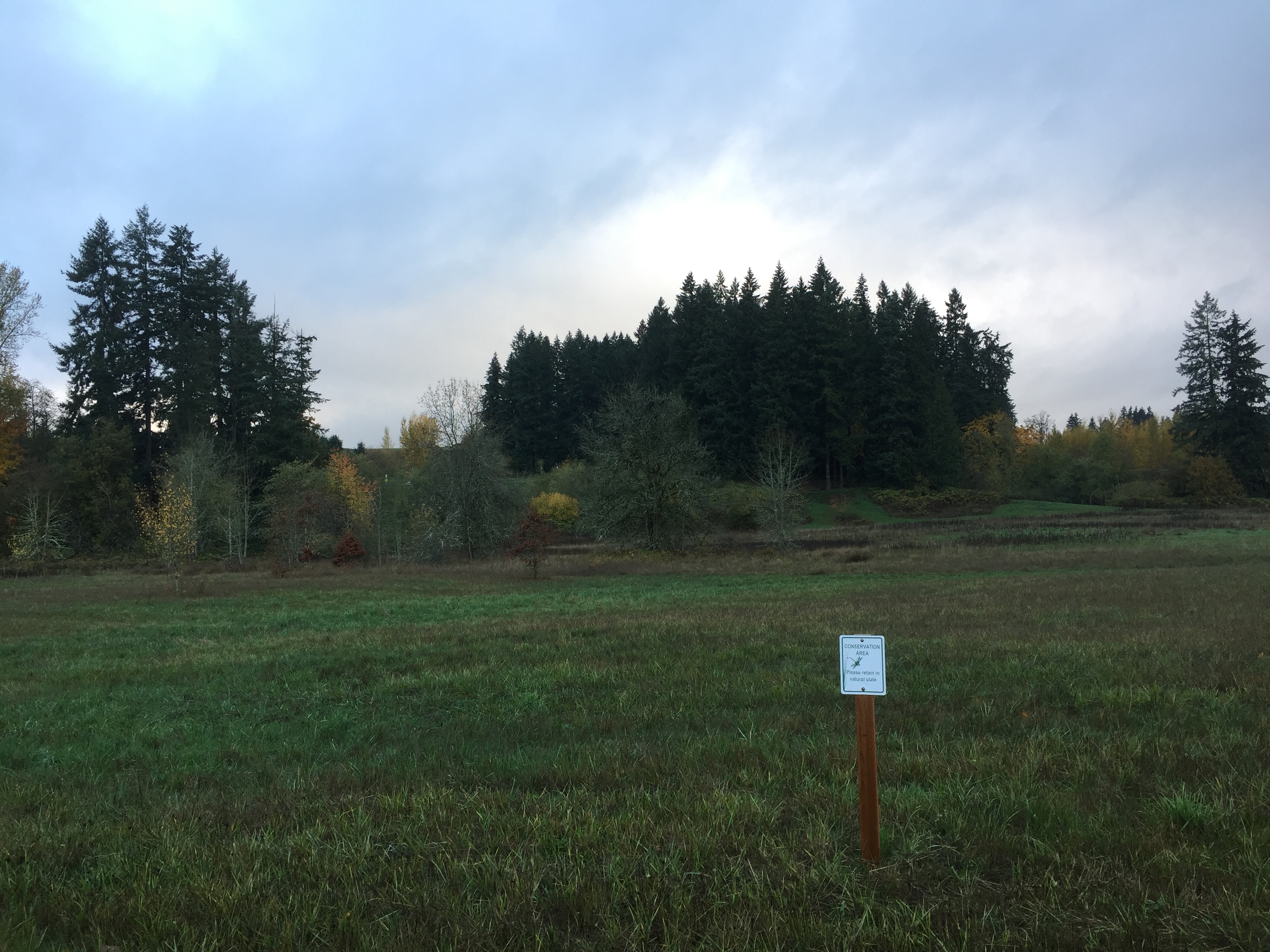
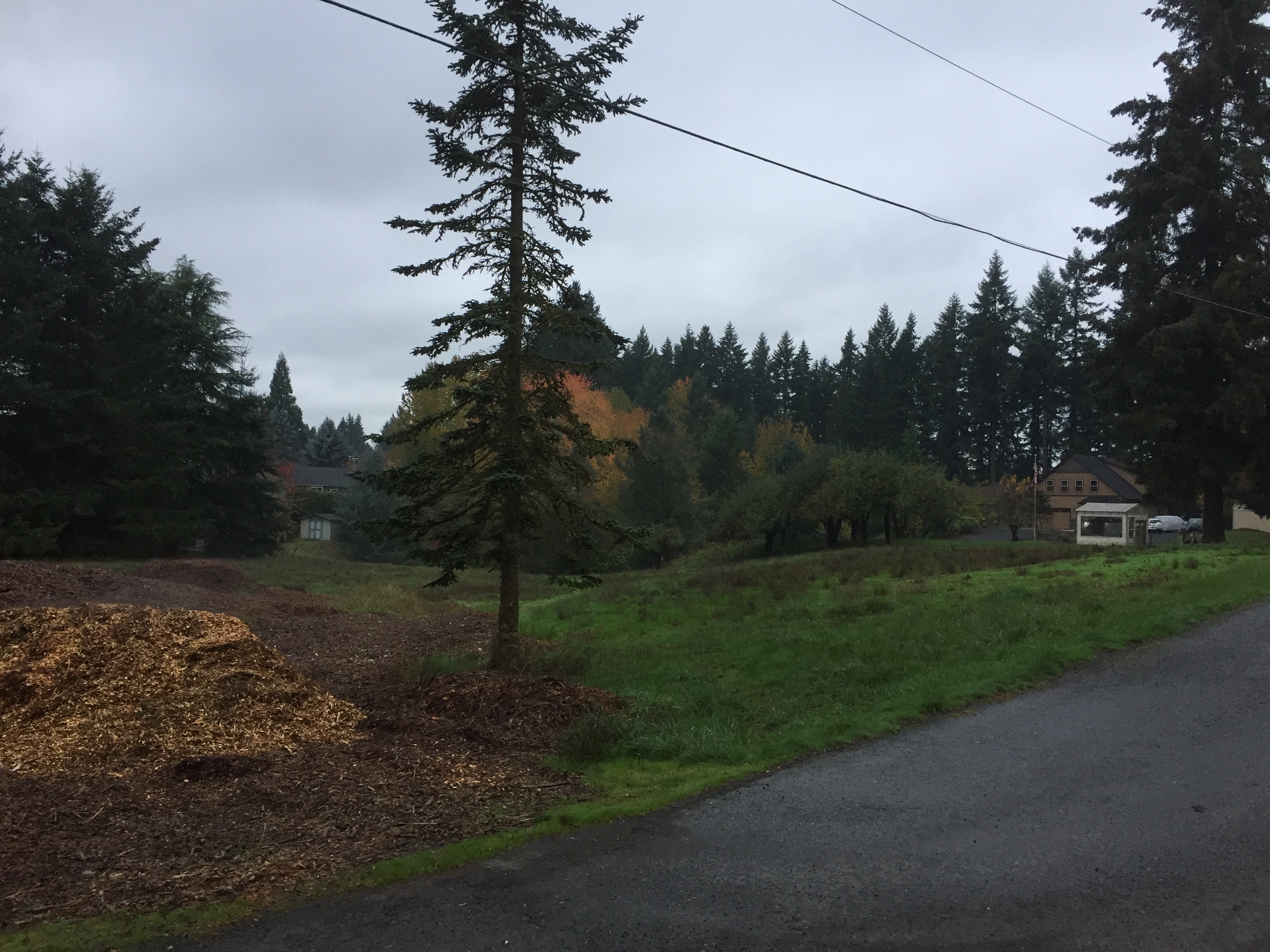
A small park with a short (.3 mile) paved path. Enter from NE 104th St.
-

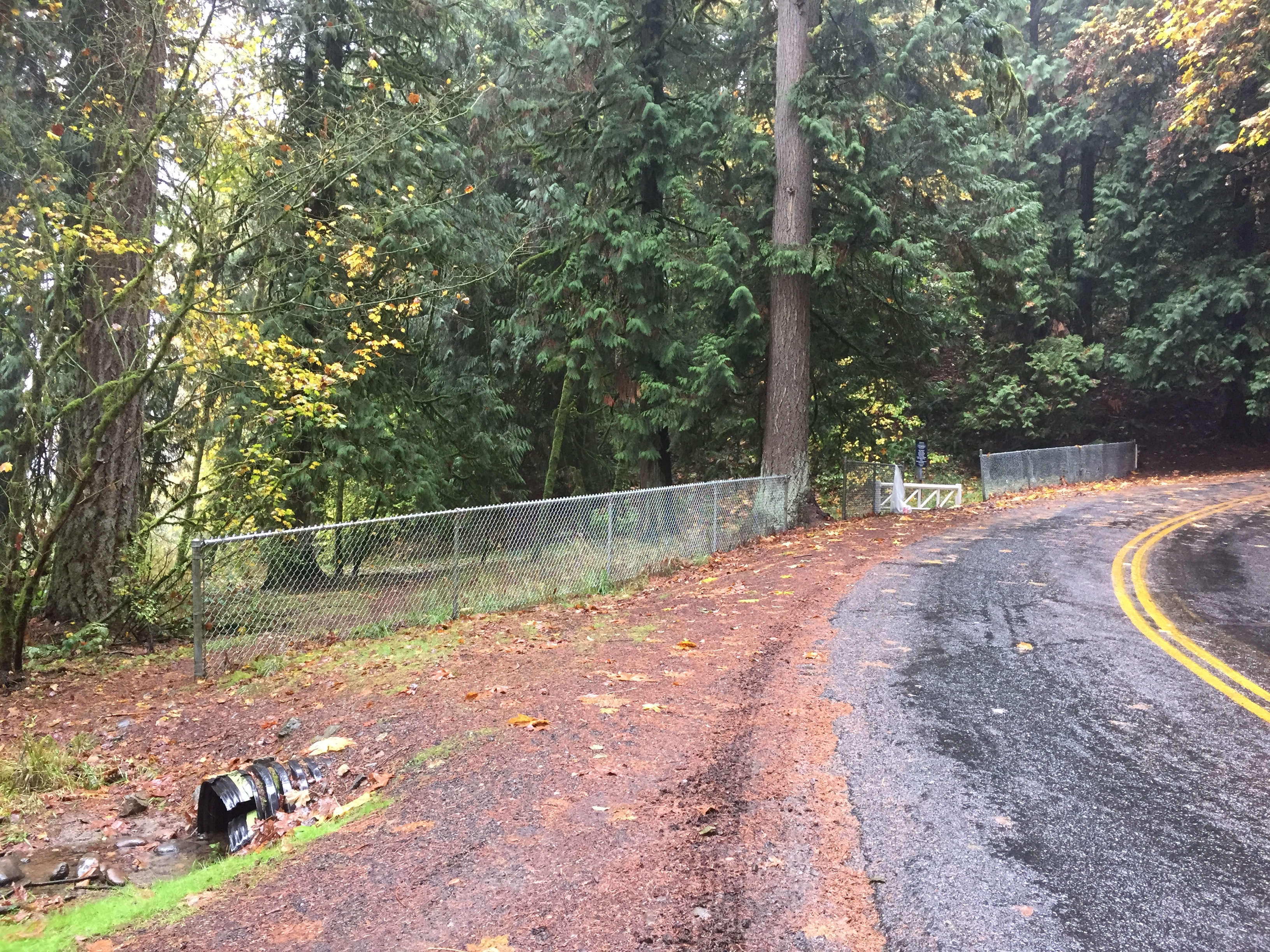
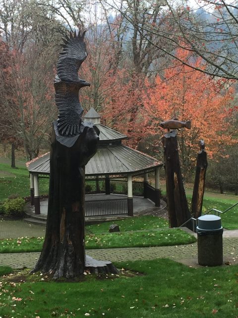
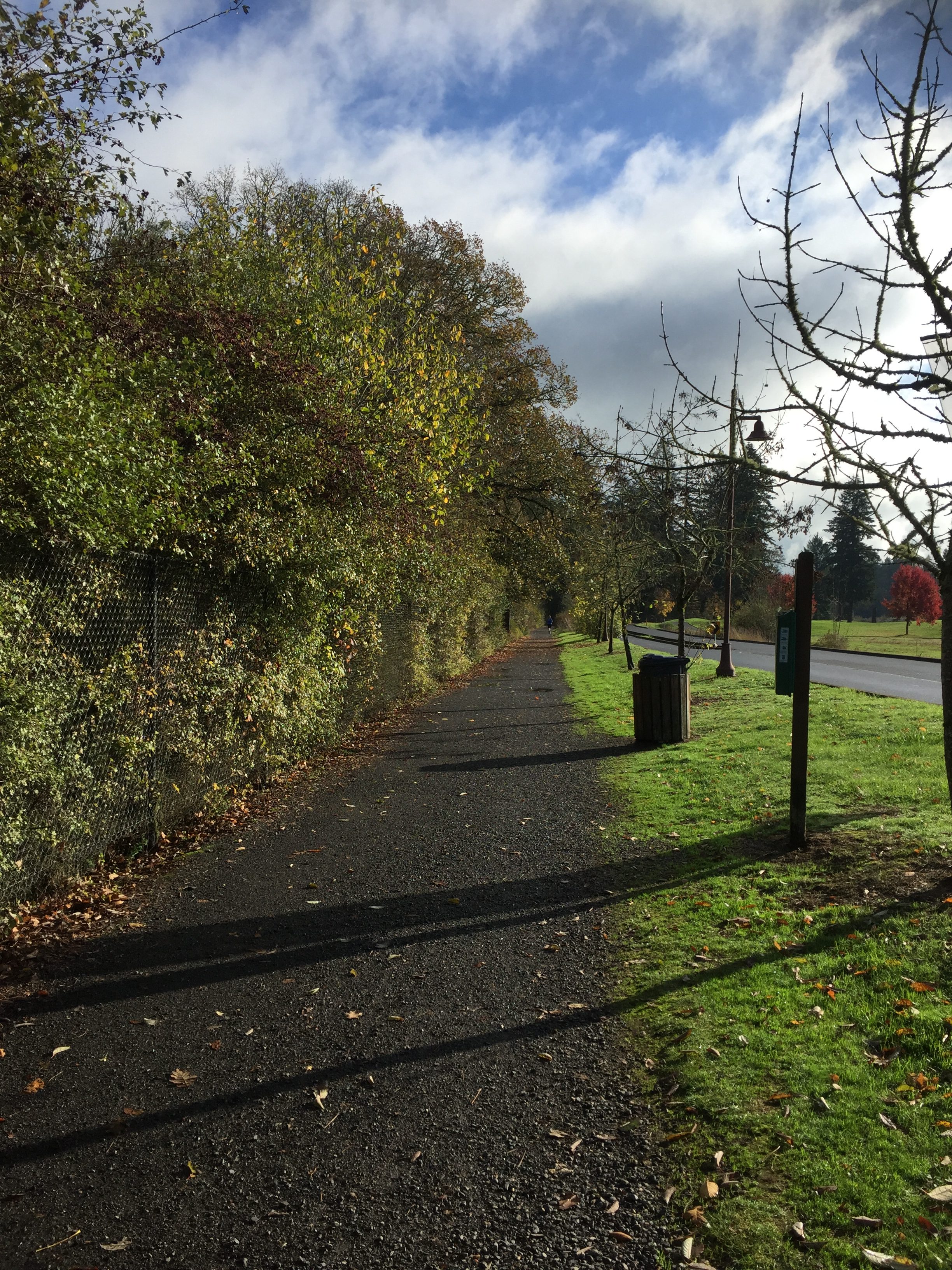
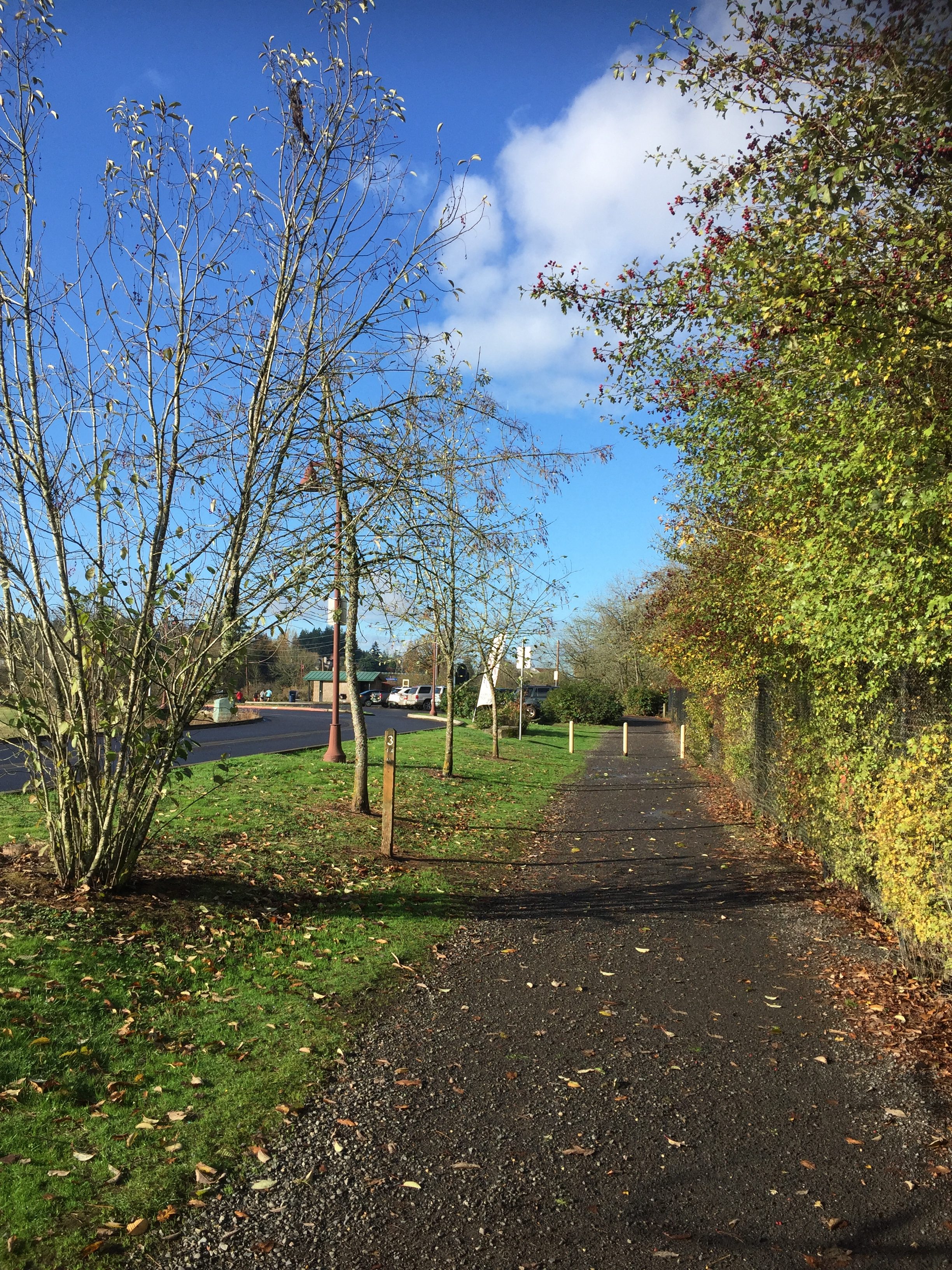
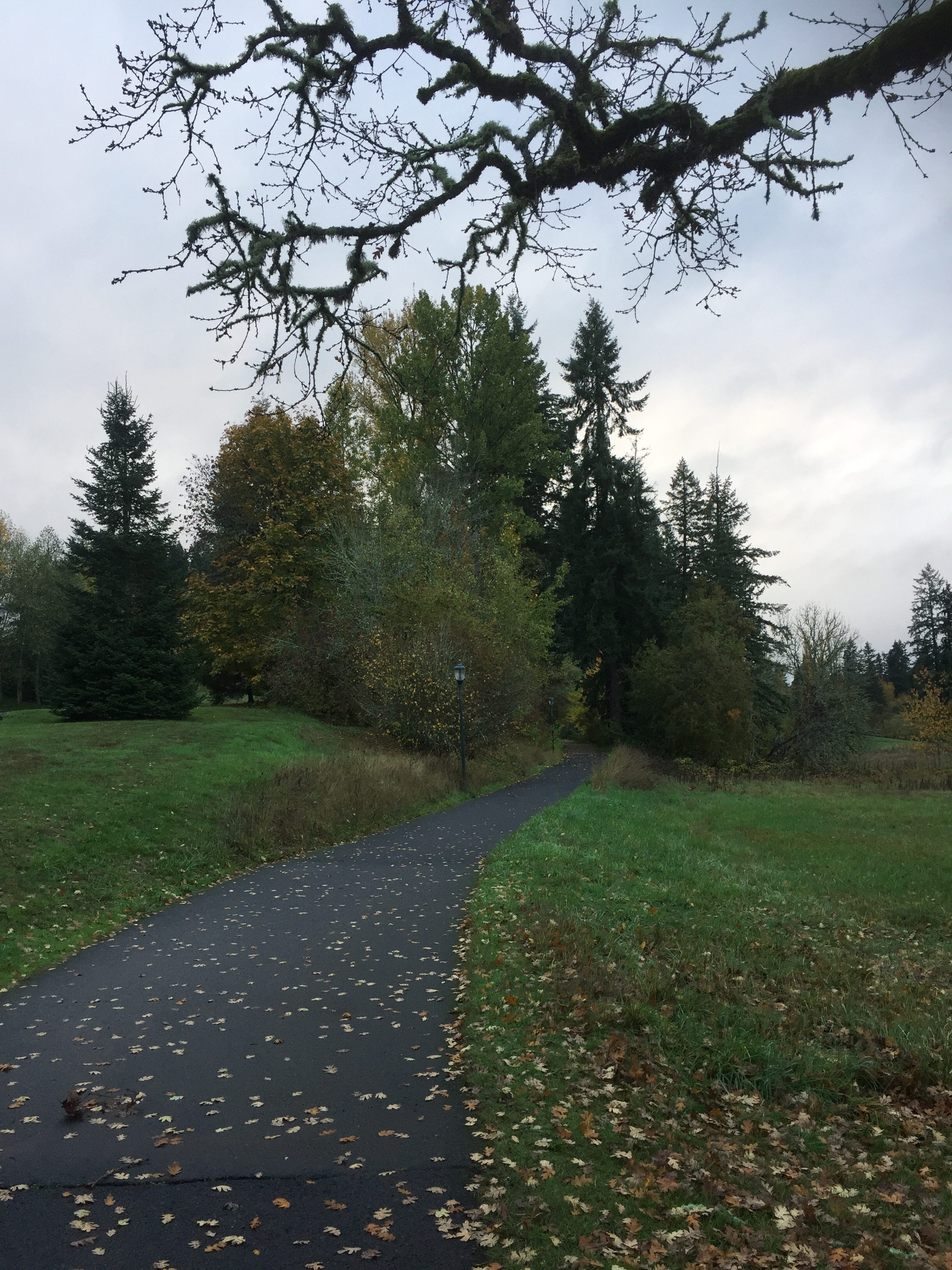
Gaiser School Park path -
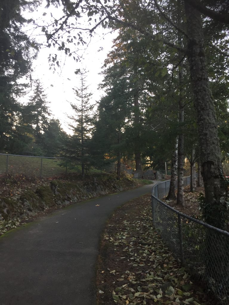
Gaiser School Park path
A small park with a short (.3 mile) paved path. Enter from NE 104th St.
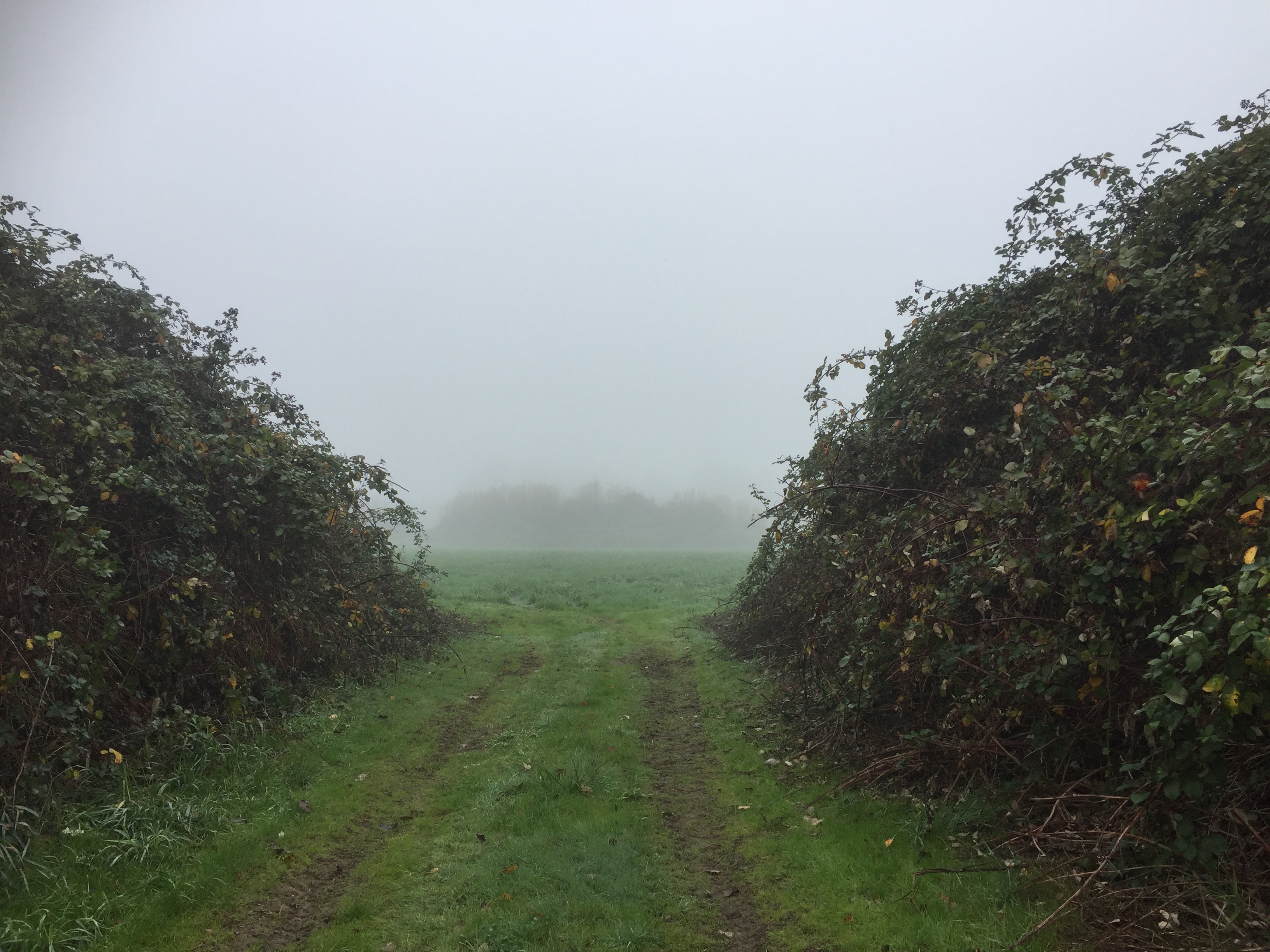
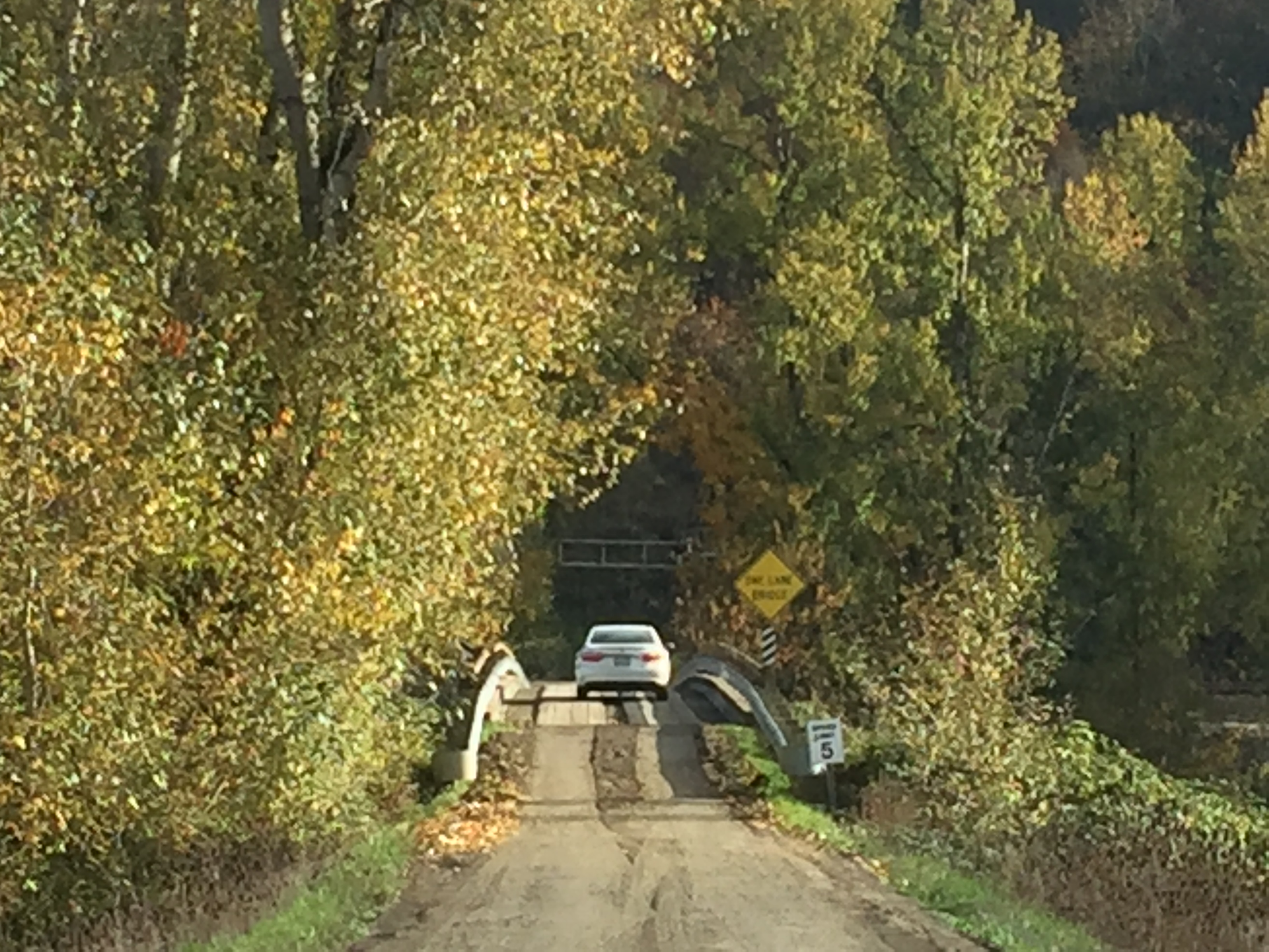
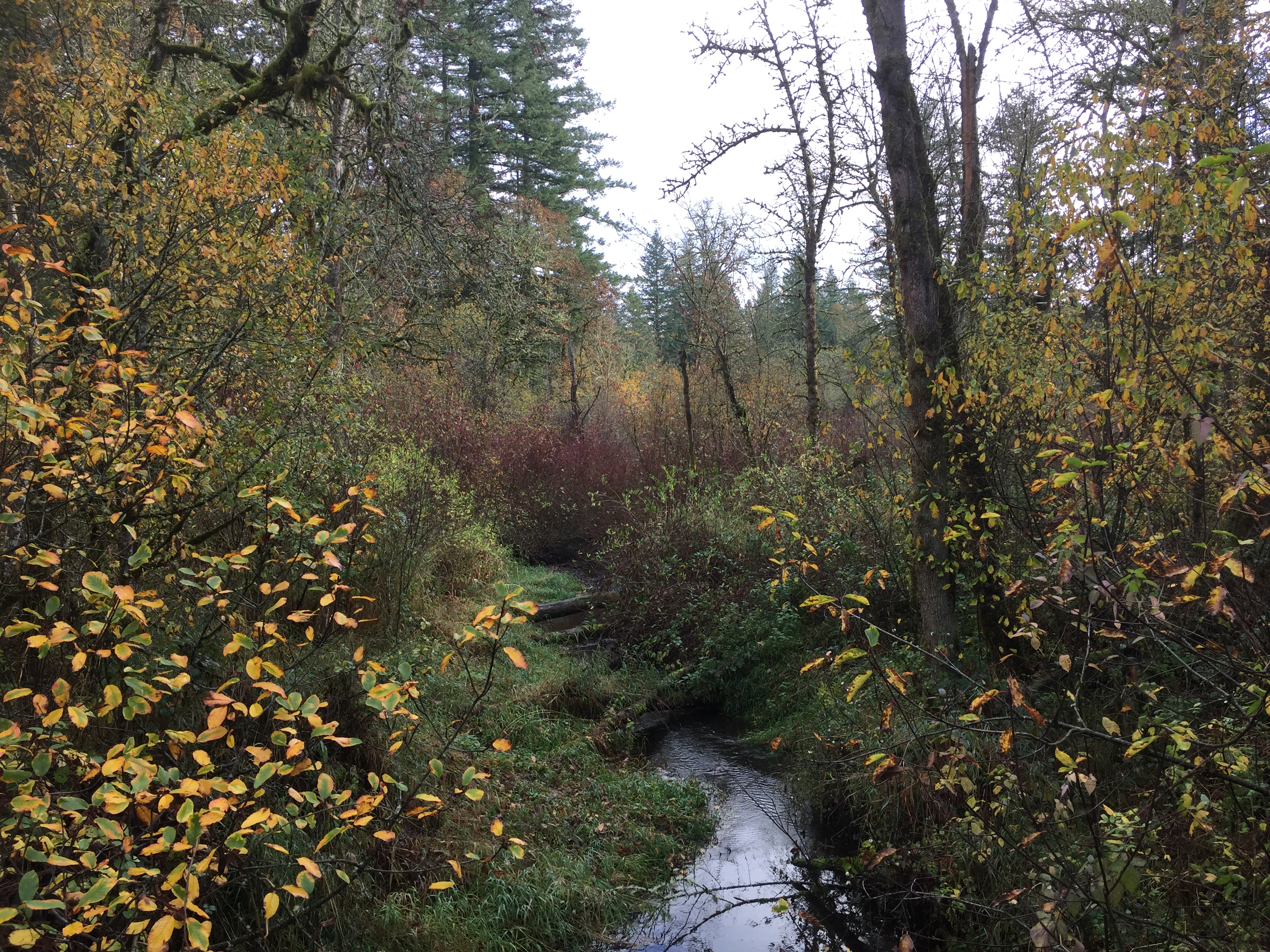
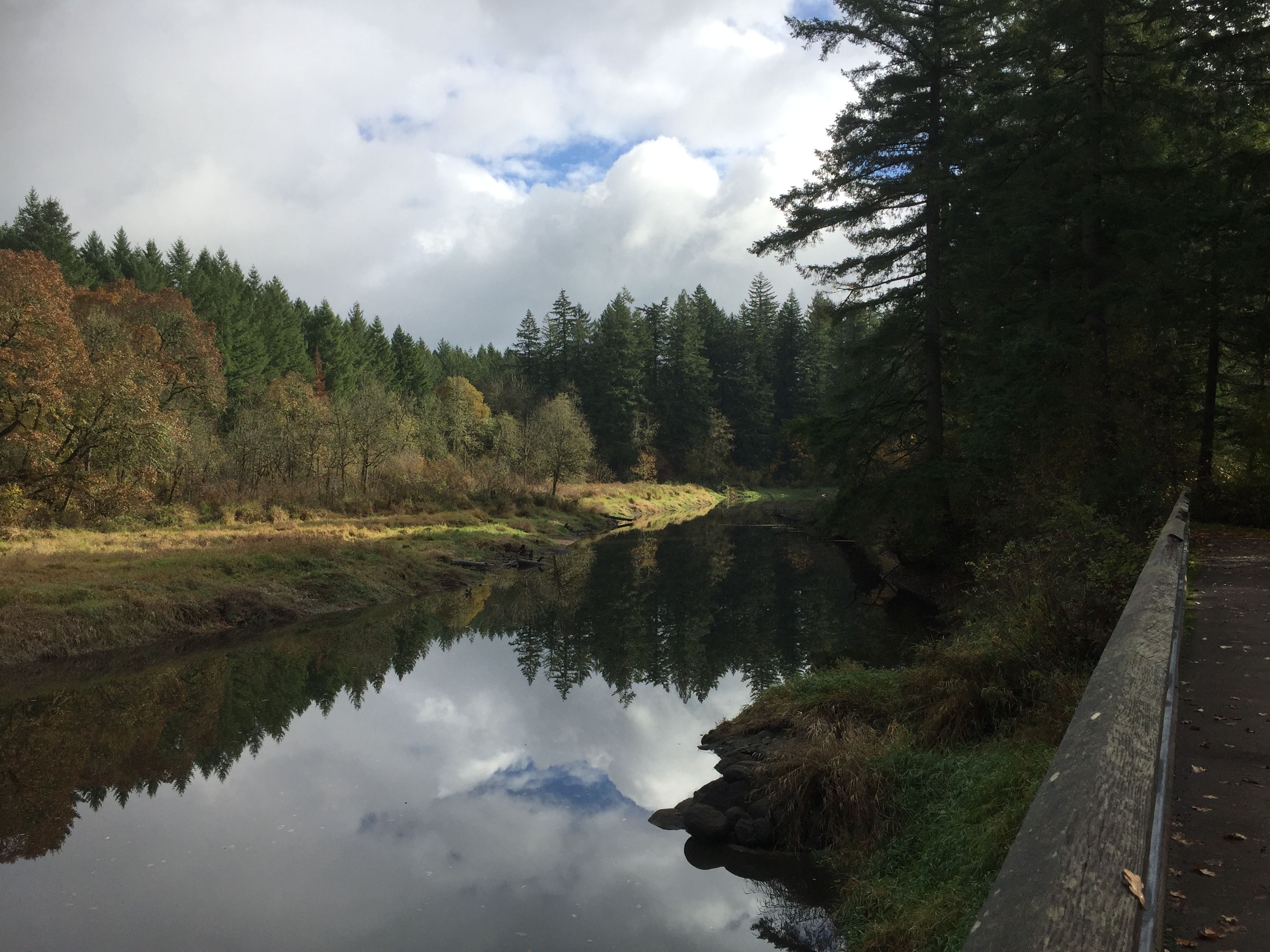
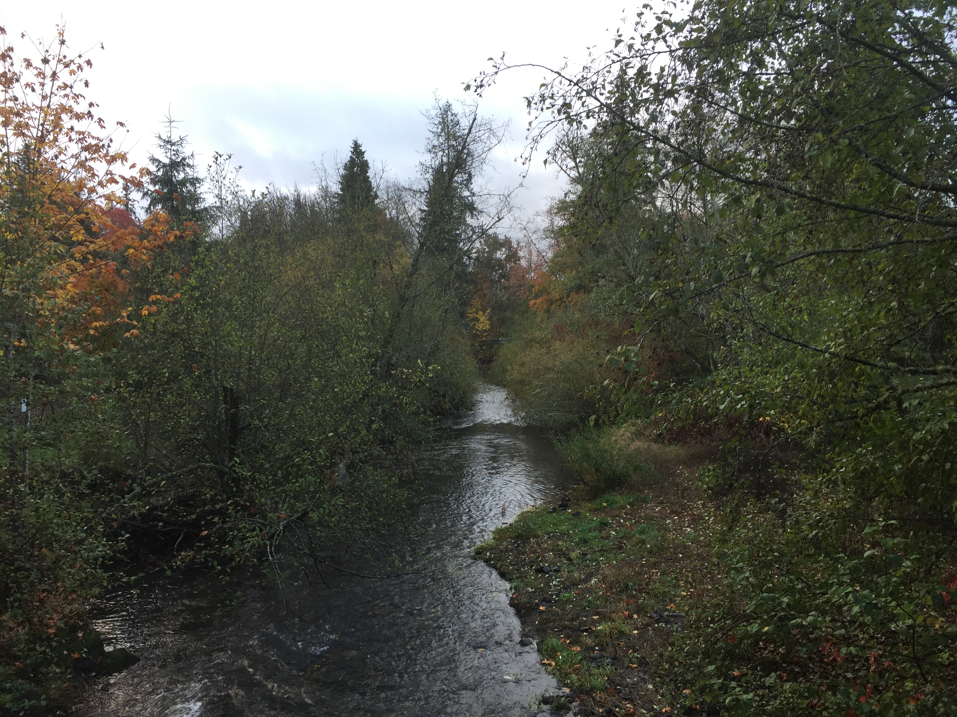
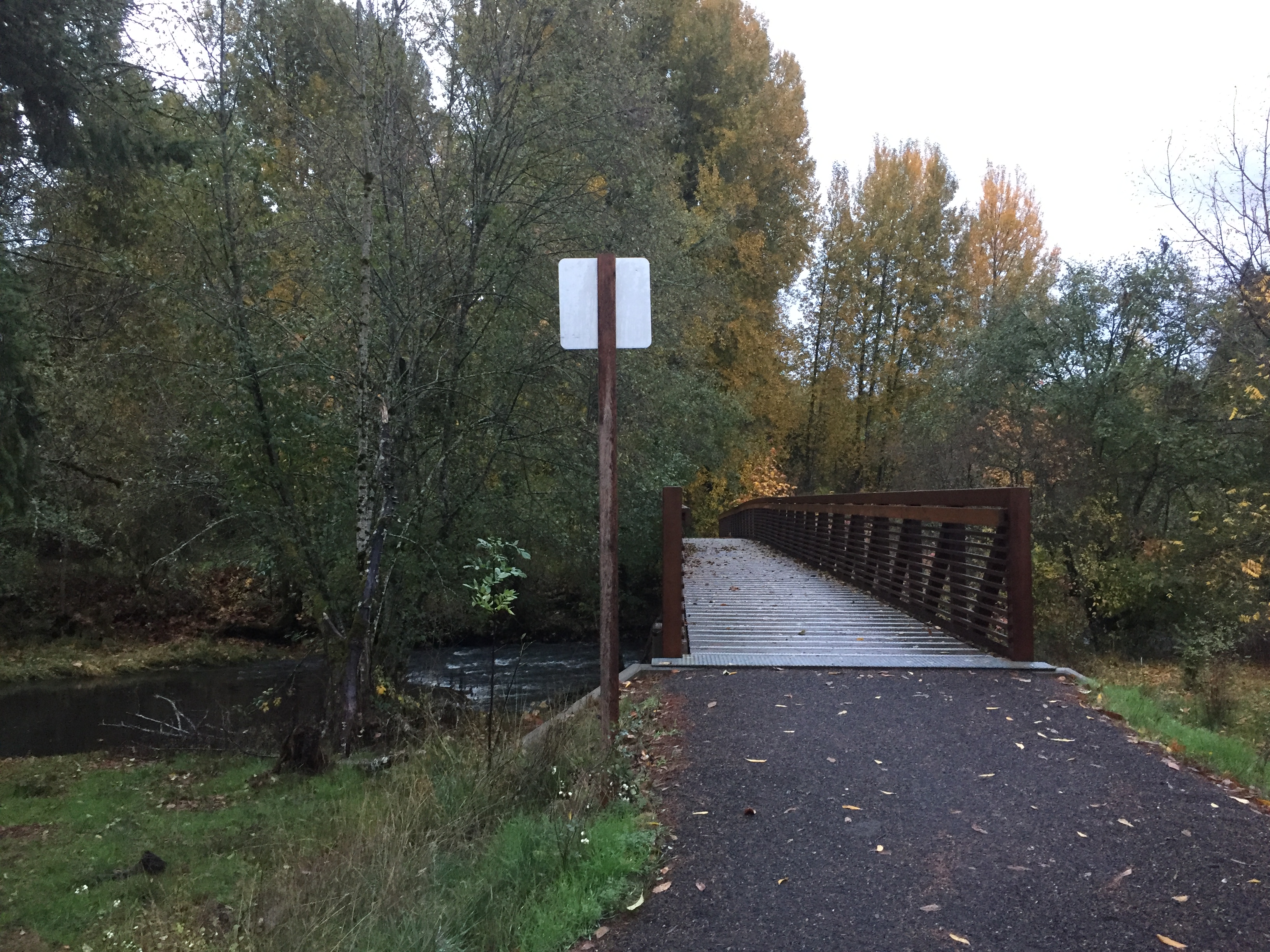
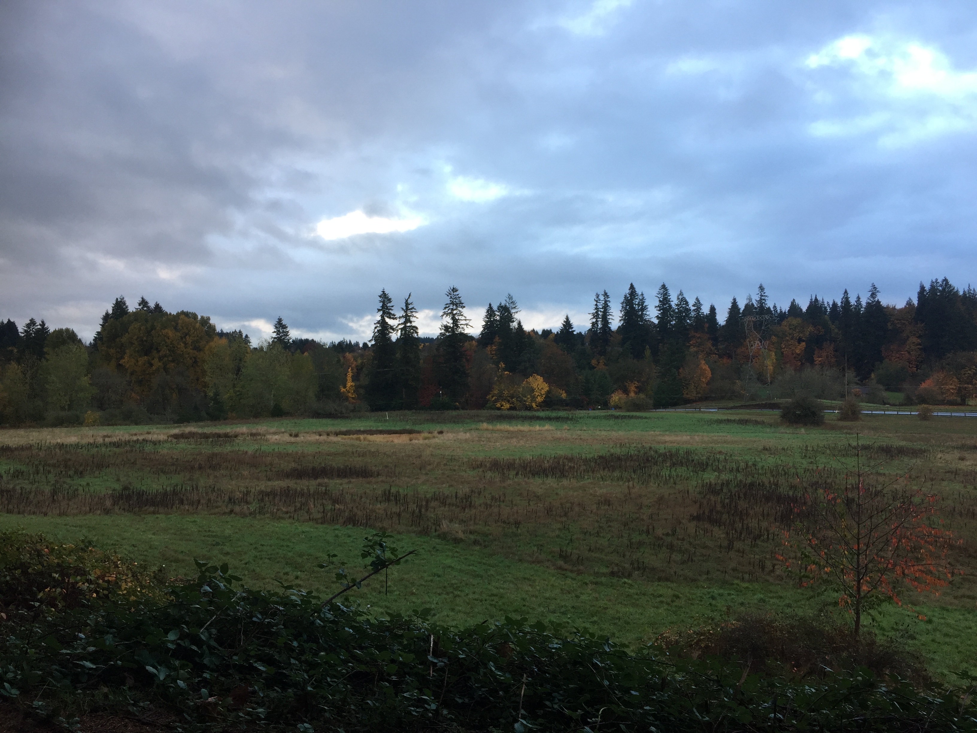
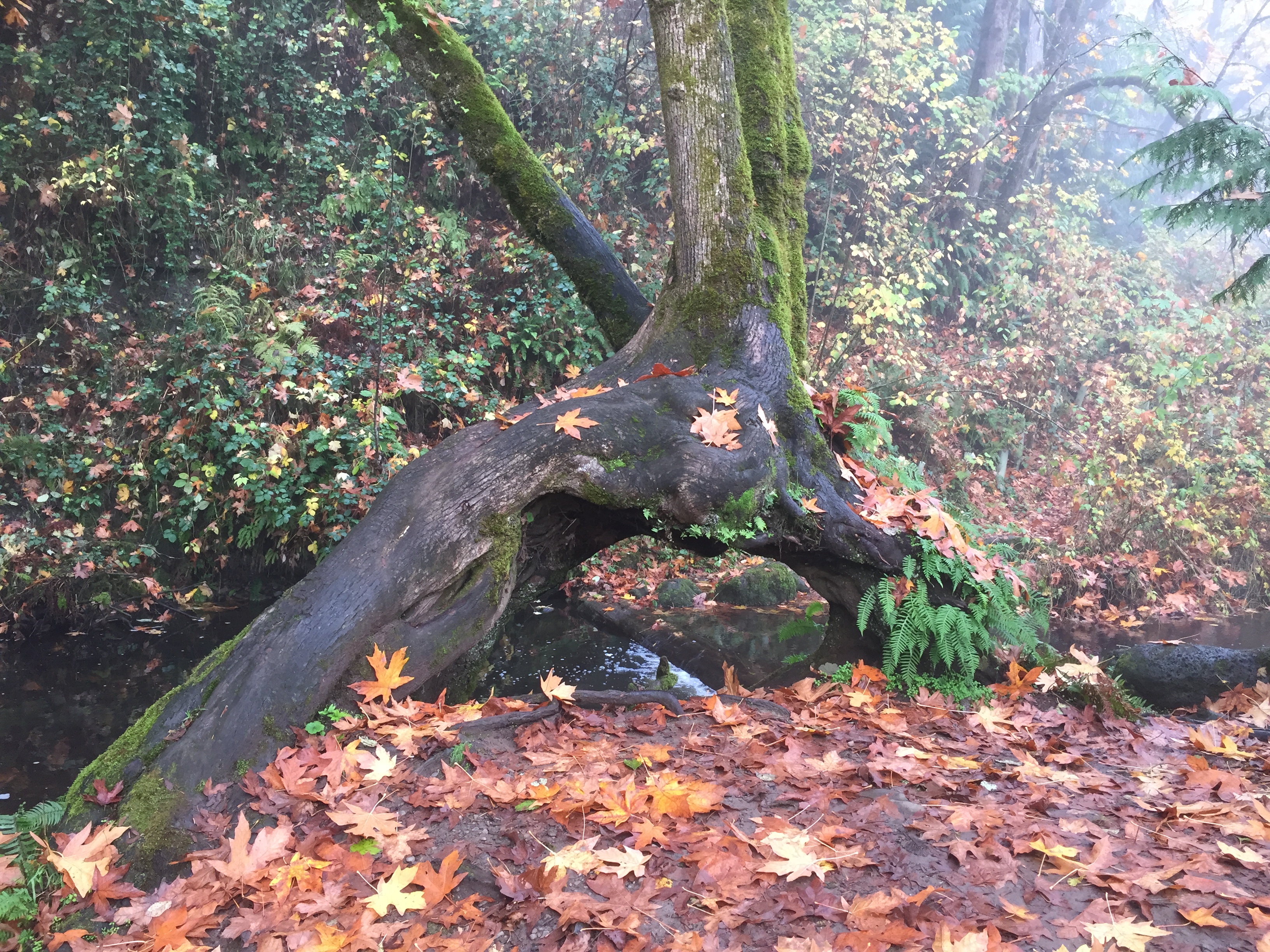
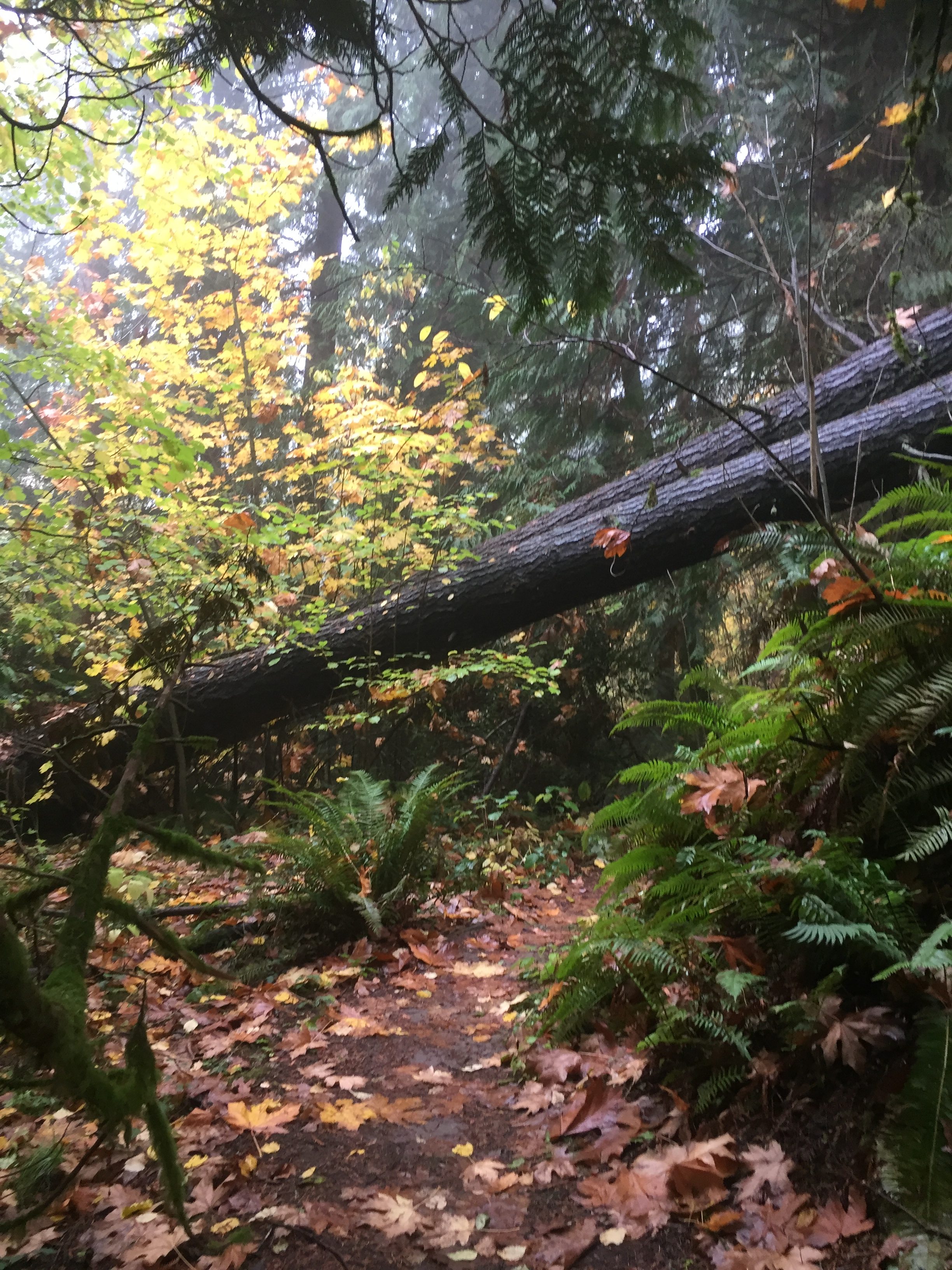
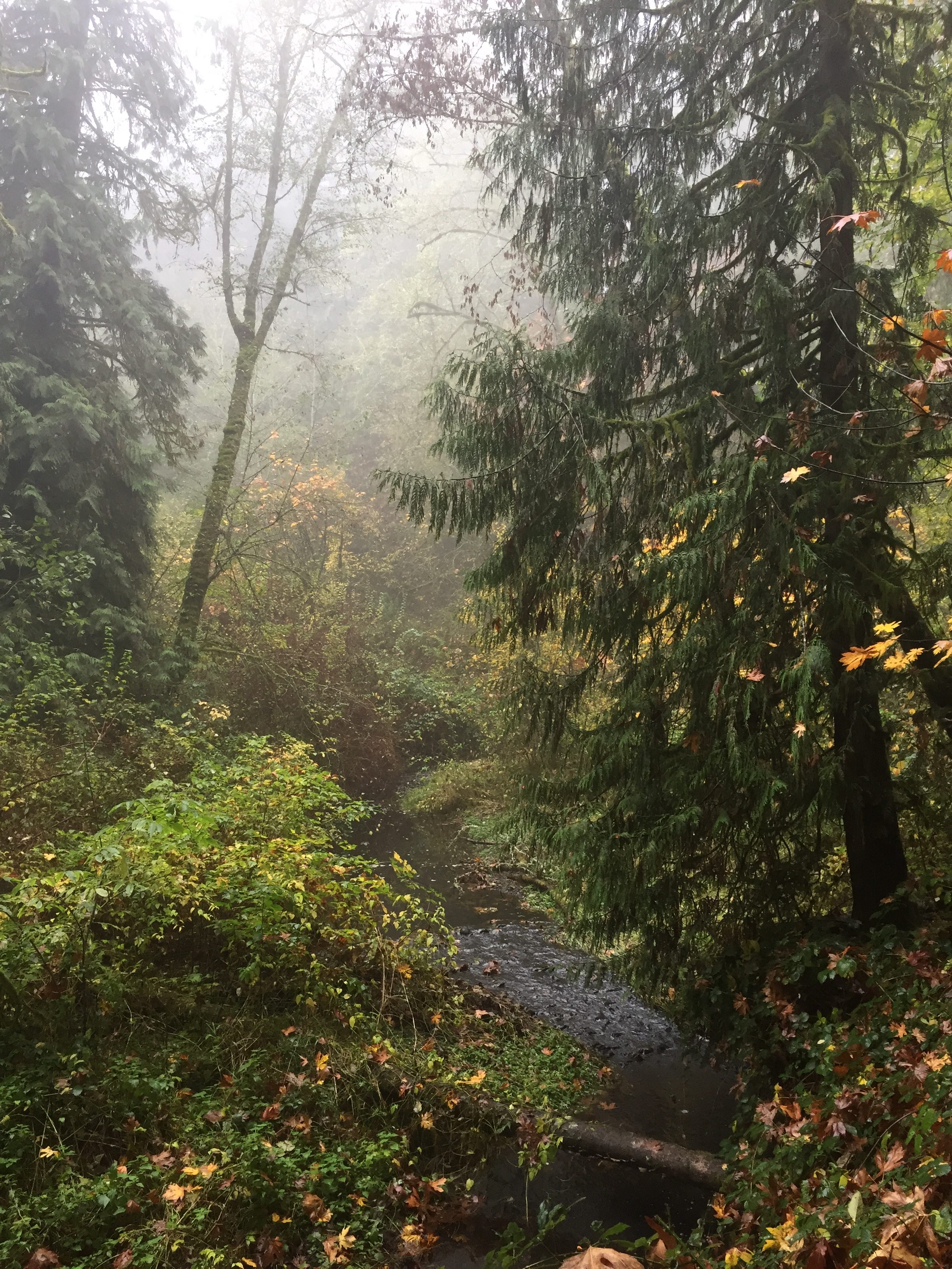
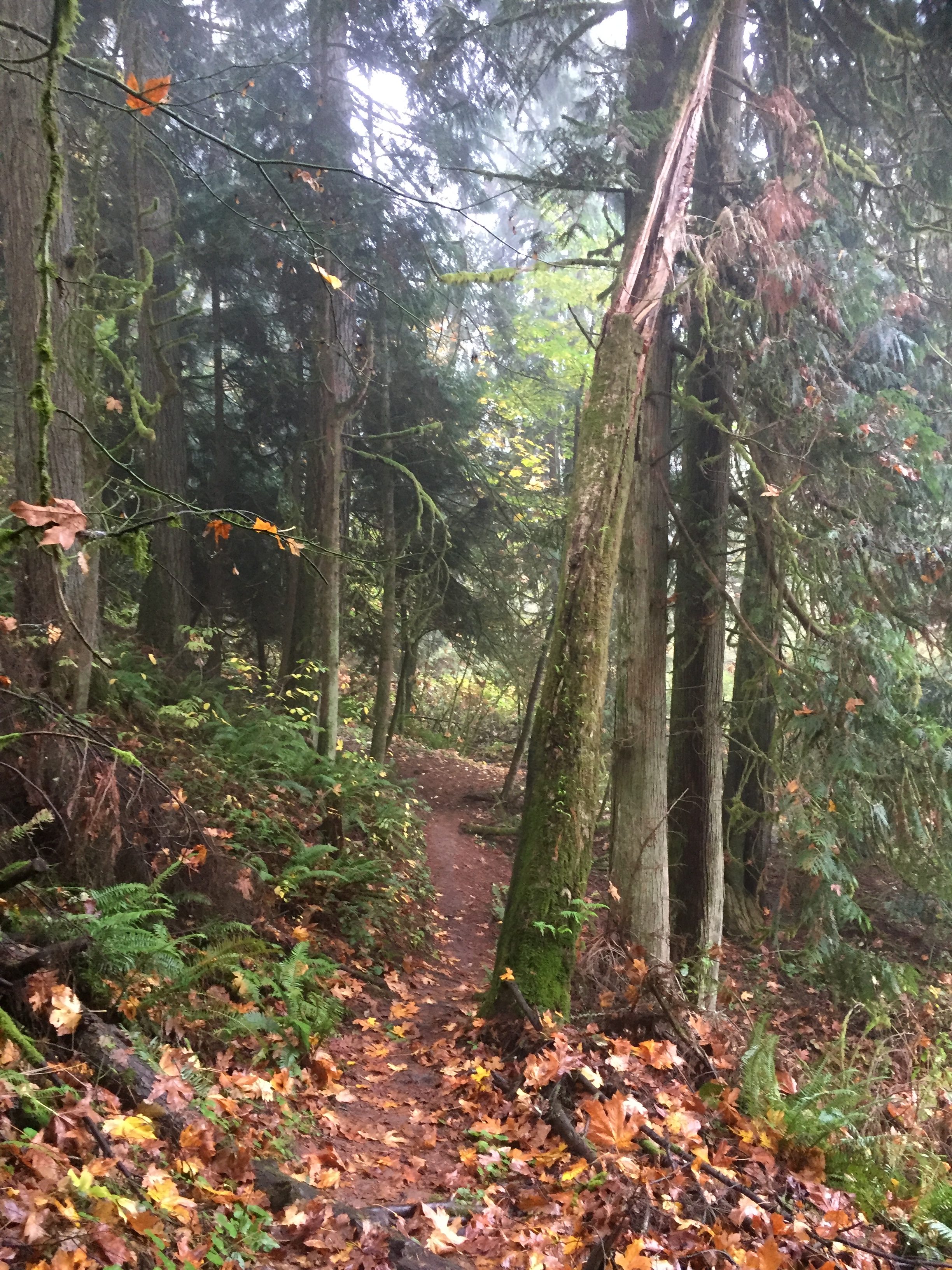
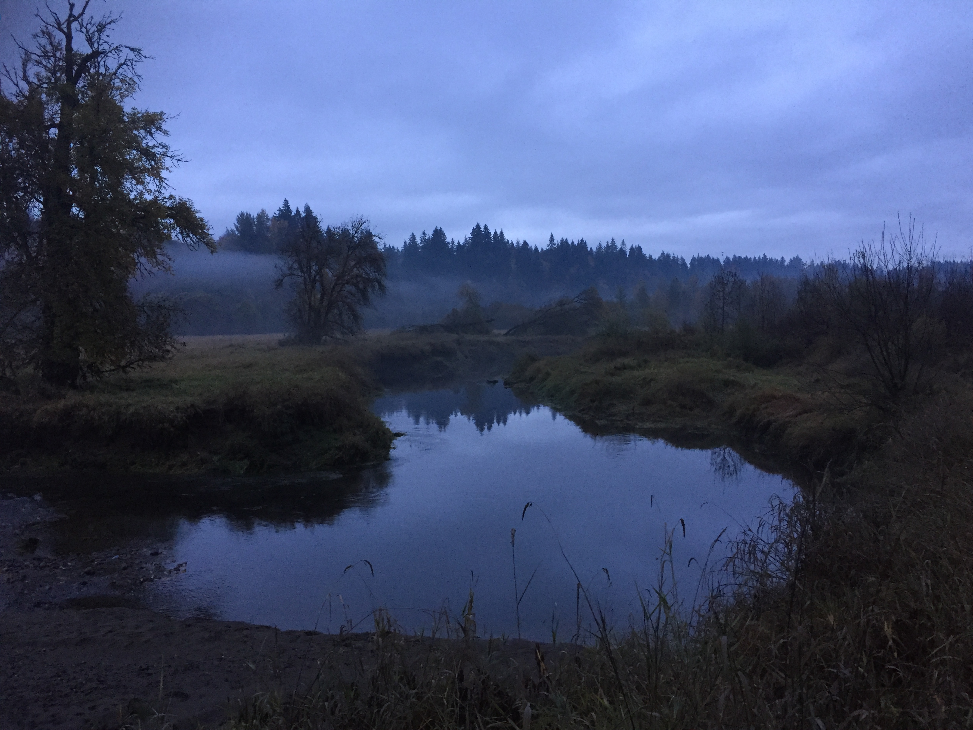
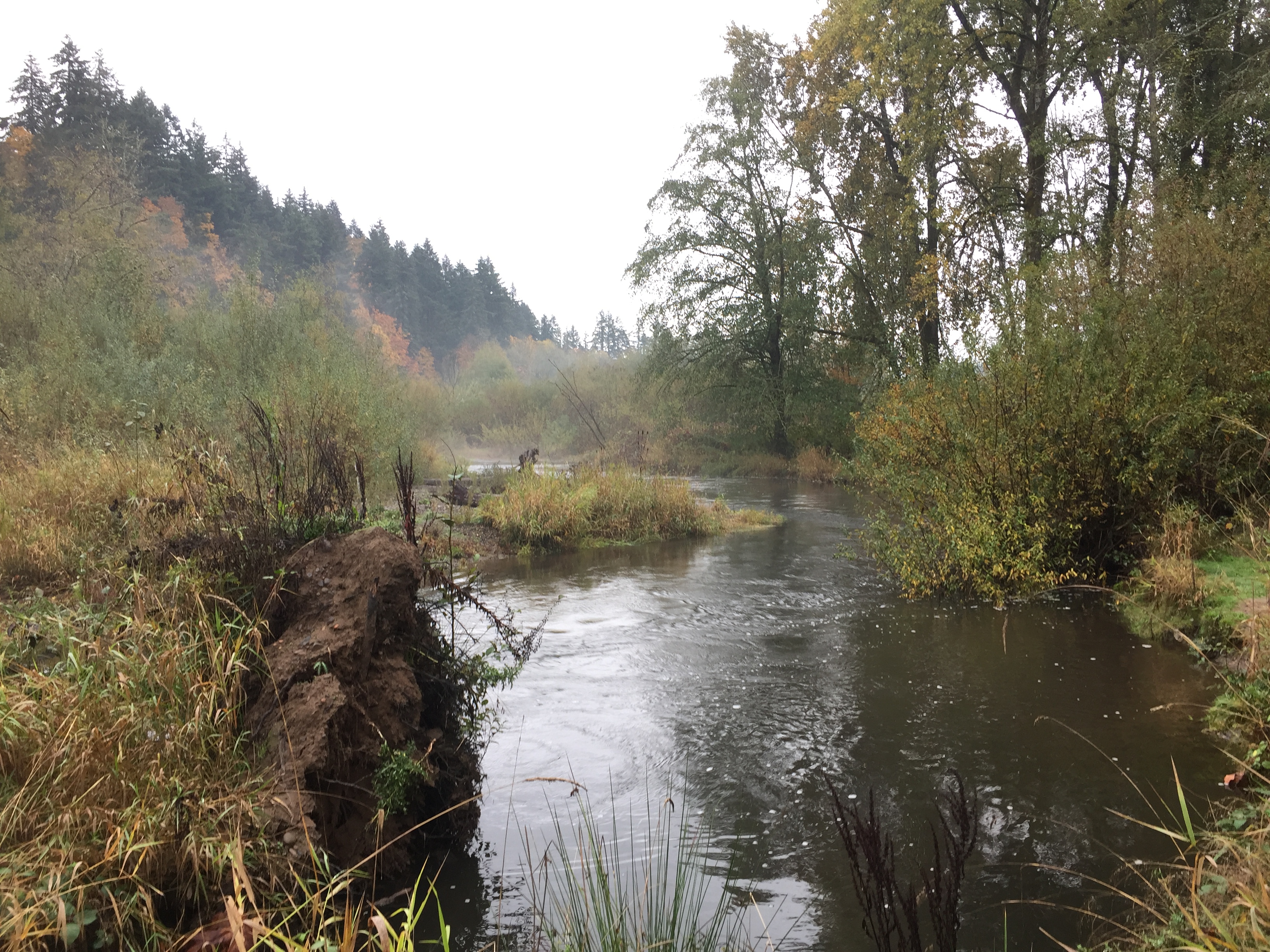
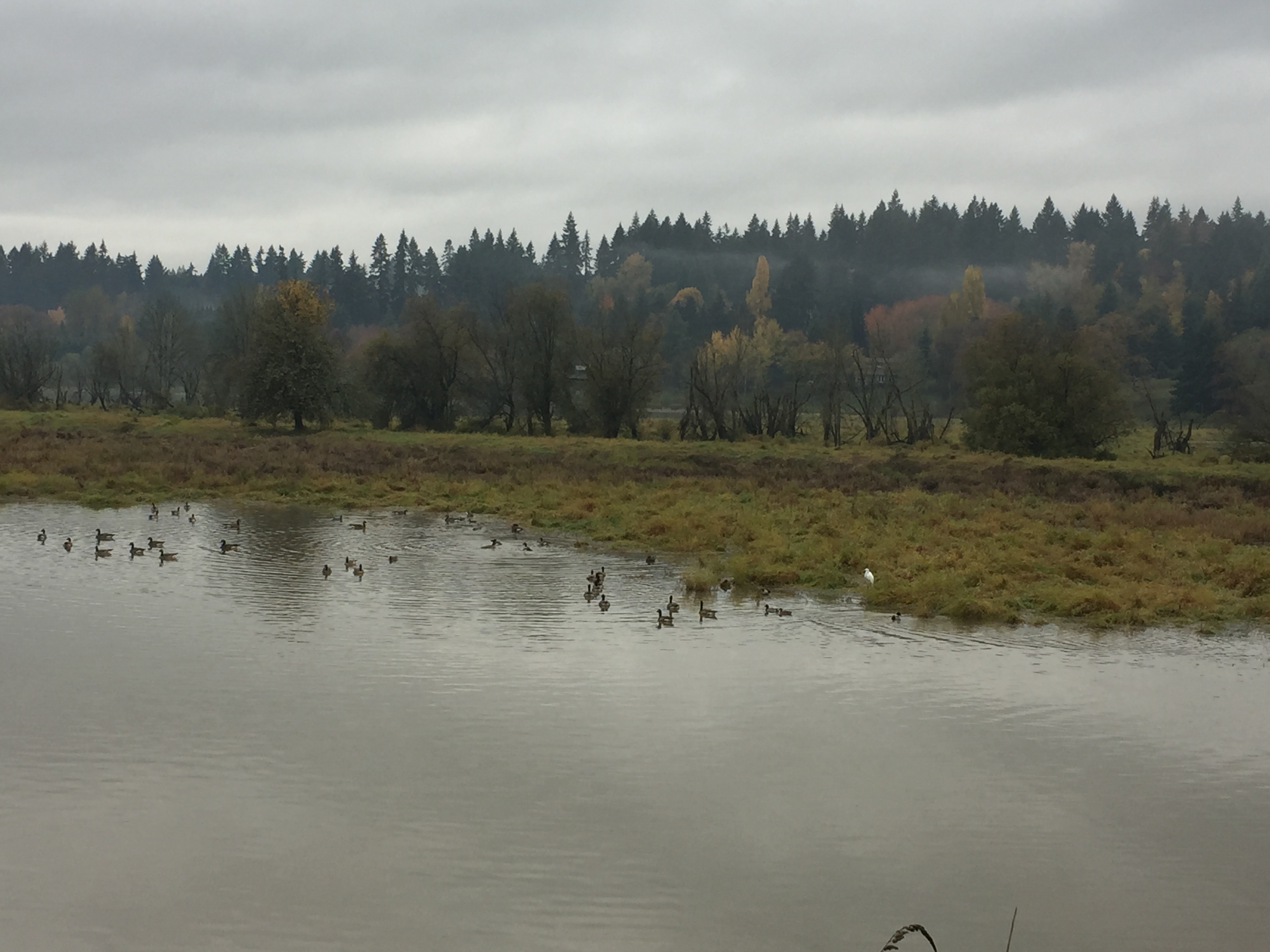
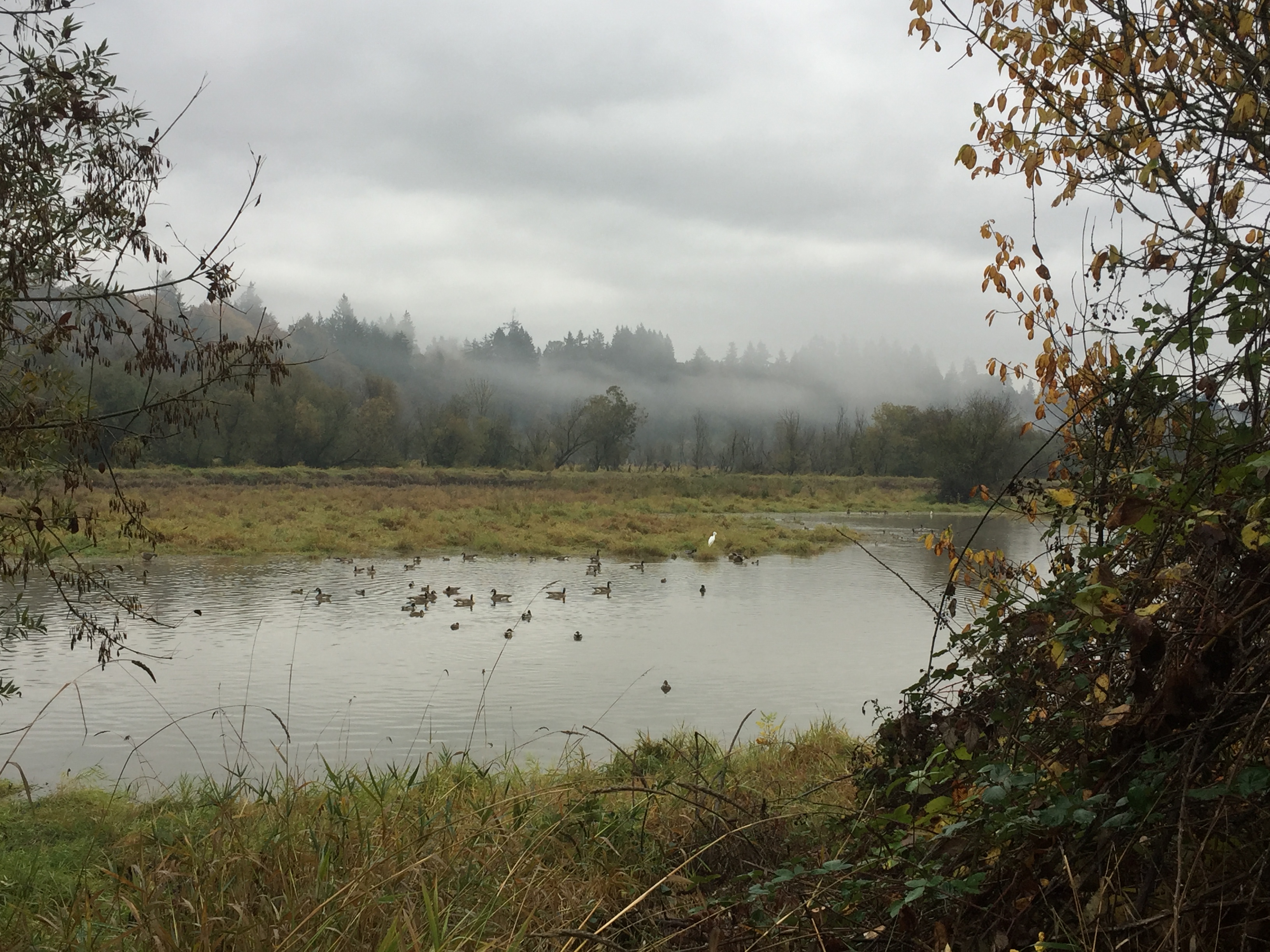
La Center sits on the East Fork Lewis River. The wide bottom lands of the river runs several miles and large areas of the land along the river are in public ownership. This allows for many miles of trails to explore, though it is not all connected.
At La Center, the trail along the East Fork Lewis River that starts at Sternwheeler Park takes you just short of a mile up river. Side trails allow you to explore Brazee Creek and to walk along the north side of the bottom lands.
On the south side of the river, you can explore trails in the west La Center bottom lands. During the right season, this is a good area to observe more waterfowl, including a large flock of swans who winter there. While the trail to the west is clear for less than half a mile, it does open interesting areas to explore.

Fallen Leaf Lake is just south of Lacamas Lake, west of Round Lake. The park has a beach area and large shelter available for reservation for events. The trails here connect to several others connecting to nearby neighborhoods. The TrailForks App has this area well mapped.
There are a few spaces for parking at the park entrance. An alternative is to park on NE 23rd Ave and walk around the Fallen Leaf Softball Field to reach the park trails.
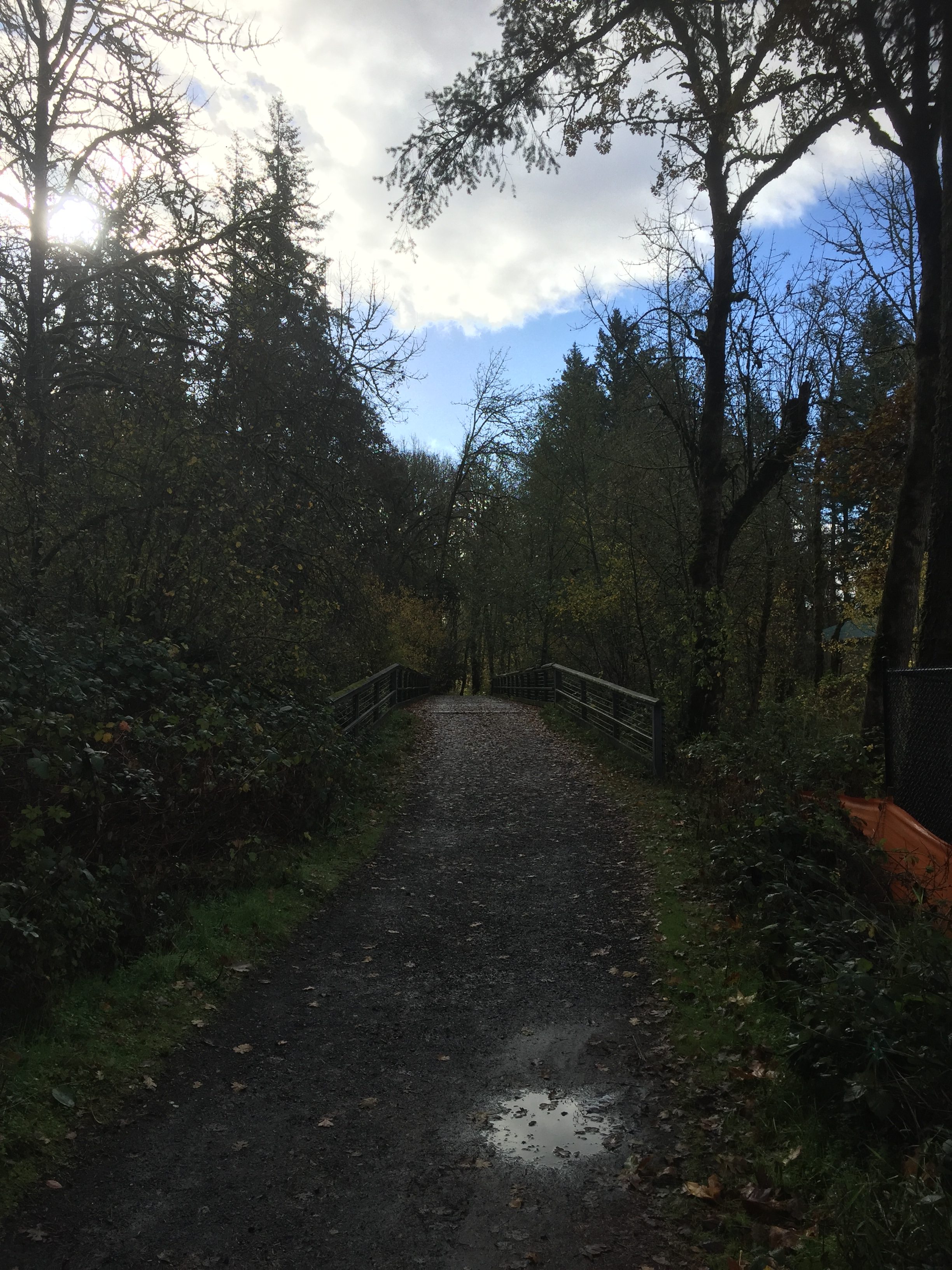
The LeRoy Haagen Memorial Community Park includes a few trails that loop around the fields and through the wooded area. The parking lot at the end of LeRoy Haagen Memorial Drive has plenty of parking, but the park can also be entered from NE 130th Ave, NE 129th Ave, NE 11th St or three places along NE 9th St. Walking the outermost loop of the park trails takes you just shy of 1 mile.
Be aware that while there are many trails to explore in the wooded area, last time I was there I saw two camps where someone had their tent set up in the densest areas.
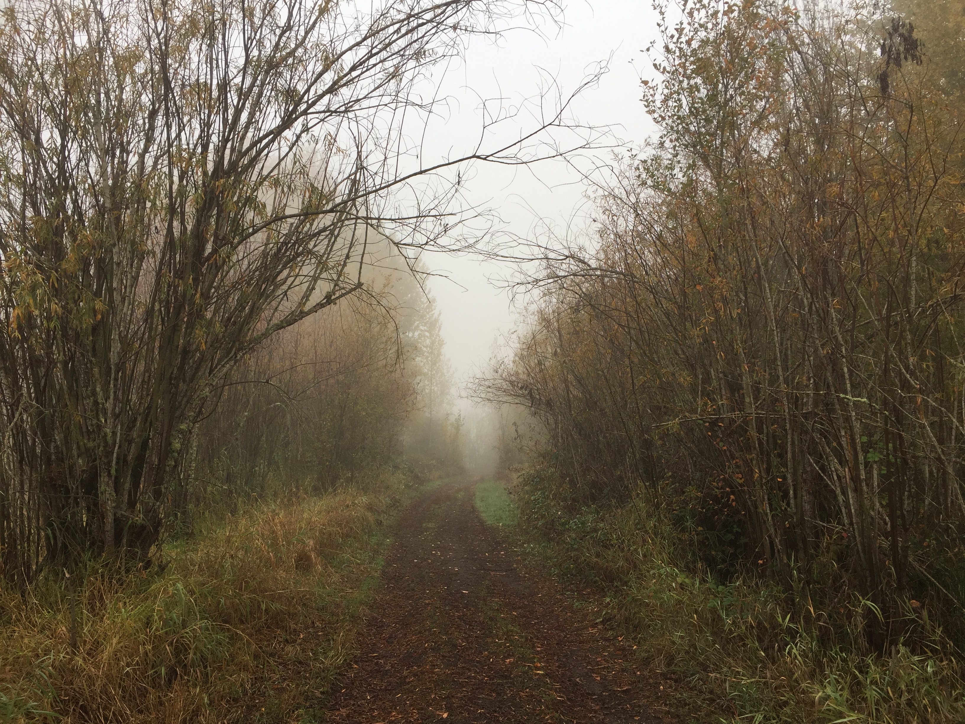
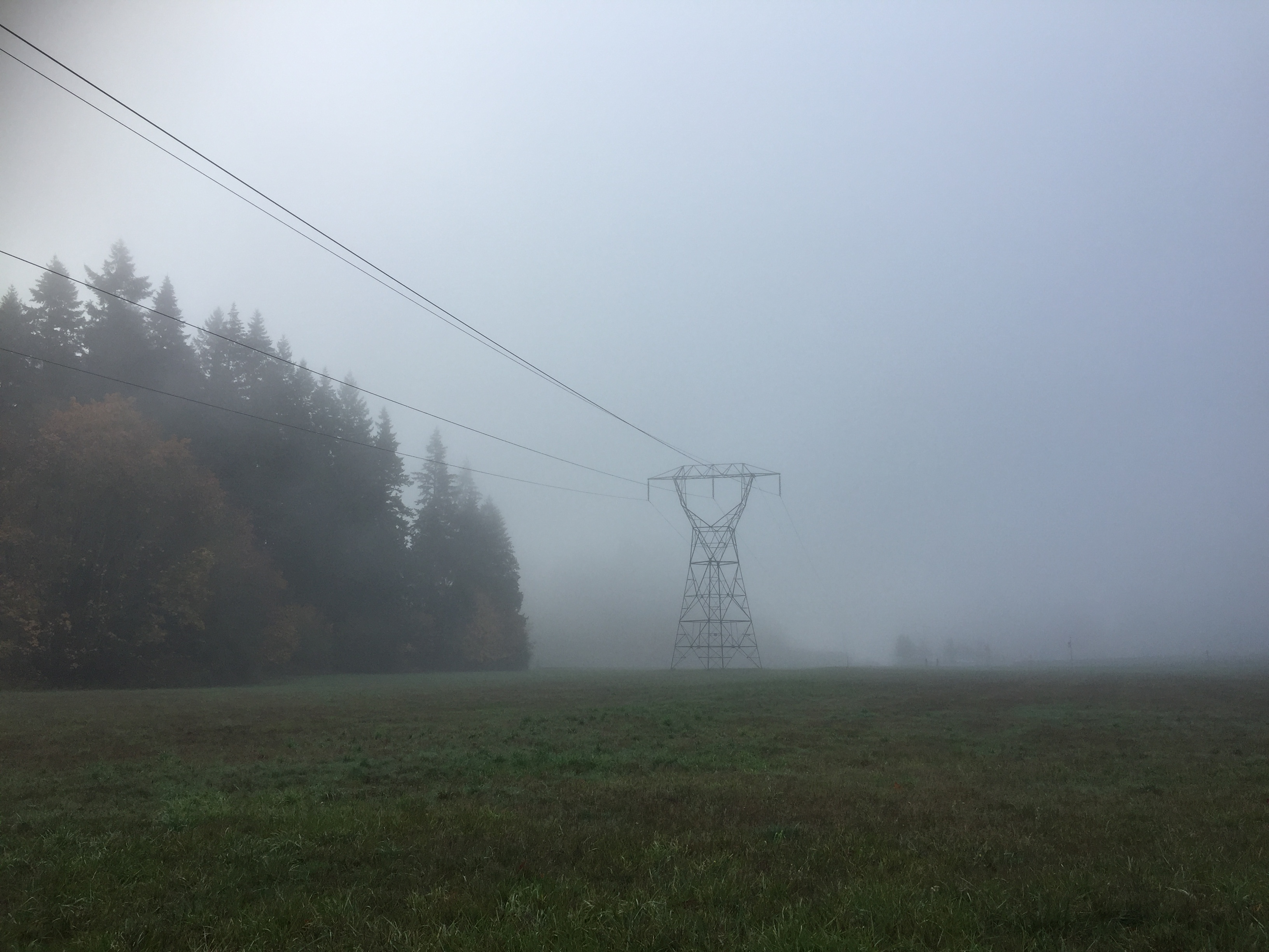
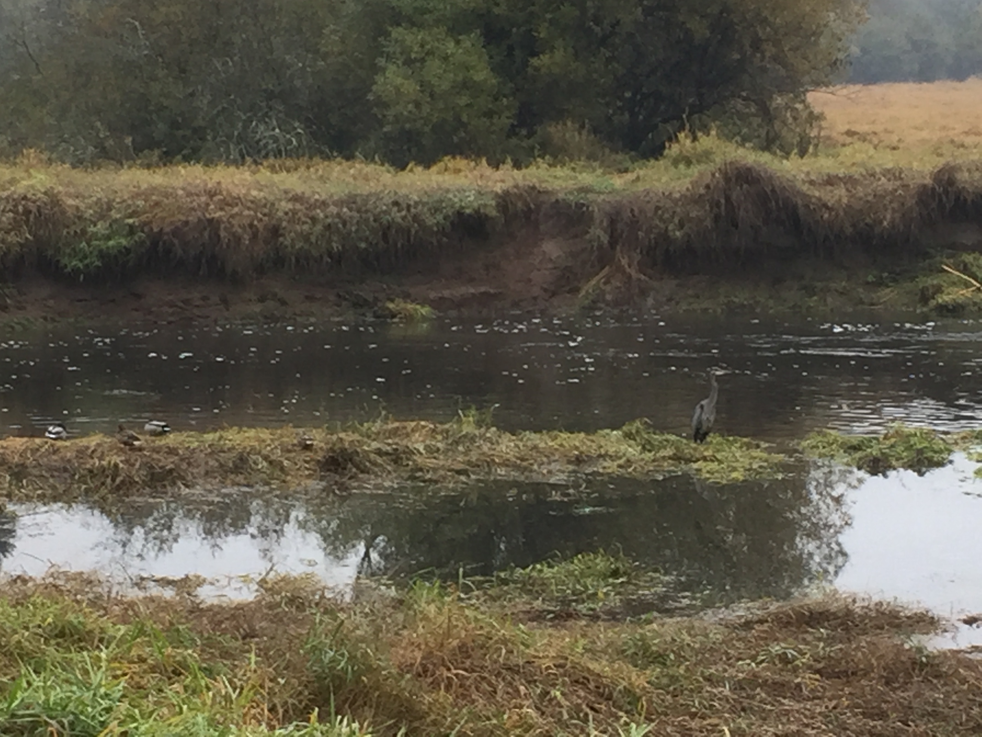
The area on the south side of Vancouver Lake, essentially everything along Laframbois Road, is public land with many trails. Land on the west side of Laframbois Road, and on the east side closest to Vancouver Lake, is owned by the Washington State Department of Fish and Wildlife, and is managed for deer and bird hunting. Land to the east of Laframbois Road is mostly owned by the City of Vancouver and Clark County. A portion of City land appears to be leased for agricultural production.
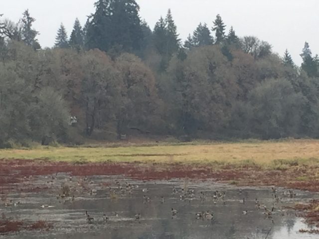
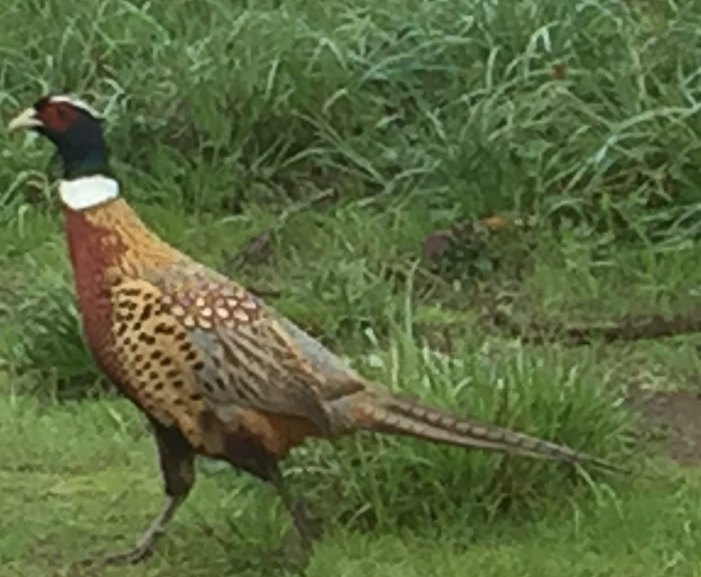
There are many trails in this area that can be explored, just be aware that much of the land is managed for hunting. As I wandered the trails, I saw many birds. Sparrows, swallows, swans, geese, ducks, great blue herons, hawks, harriers, and a pheasant that was staying near the entry gate, as if greeting new arrivals.
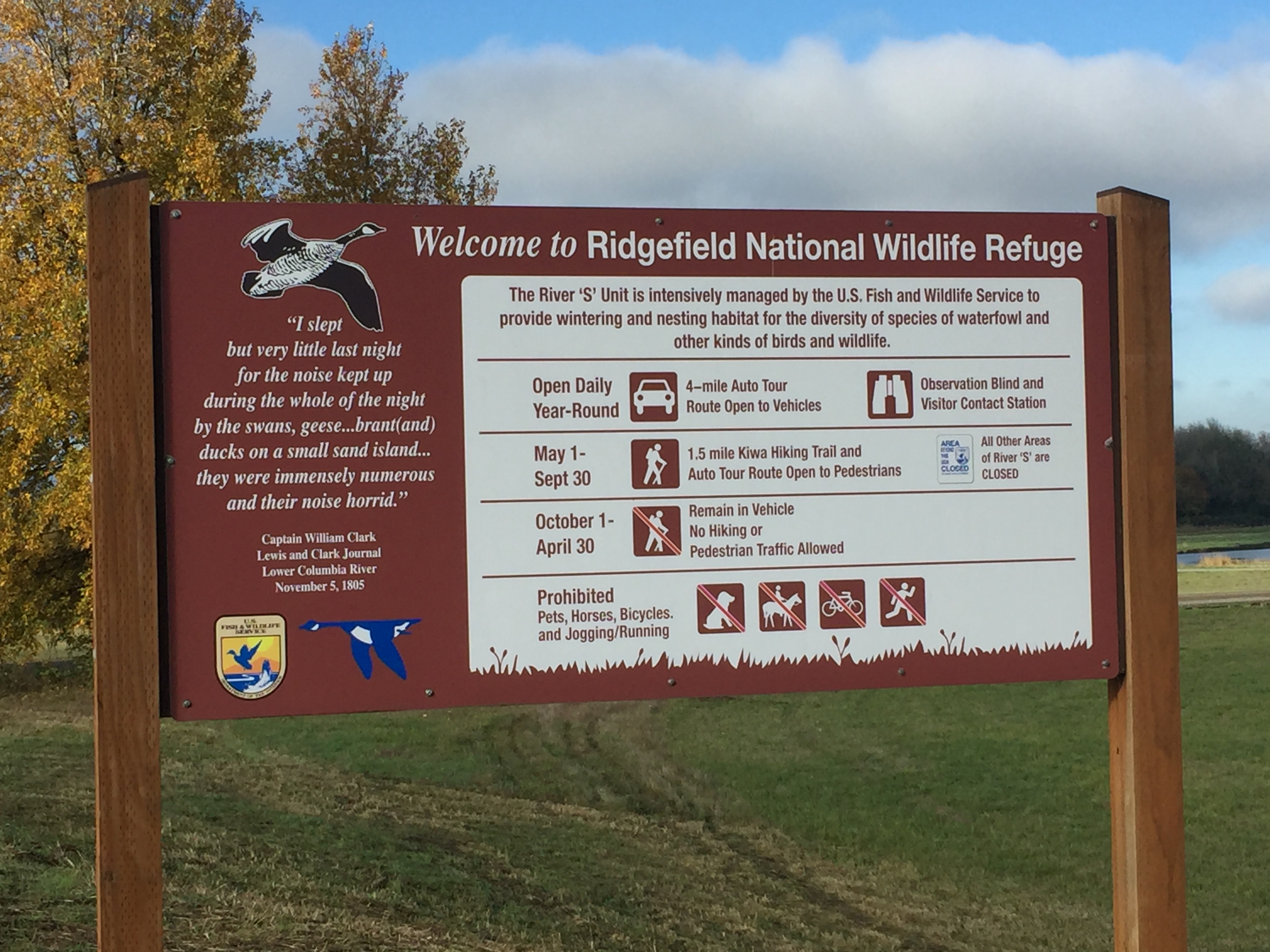
The Ridgefield National Wildlife Refuge South Unit located just south of downtown Ridgefield includes a driving tour and two trails. Keep in mind that the refuge is primarily managed for the benefit of wildlife, so some areas are closed to access all year, and other areas are closed during certain seasons.
The main attraction for visiting the South Unit is the 4.2 mile driving tour. When you stop at the welcome center to make payment, it’s worthwhile to pick up one of the audio CDs at the information kiosk, and play the CD in your car while driving the route. I also suggest using an electric vehicle and driving very slowly. Allow yourself a couple hours to make the tour, so that you have time to stop and watch.
During May to September you can walk the route. Note that Bicycles, jogging, pets and horse riding are not allowed in the refuge as these can disrupt the wildlife.
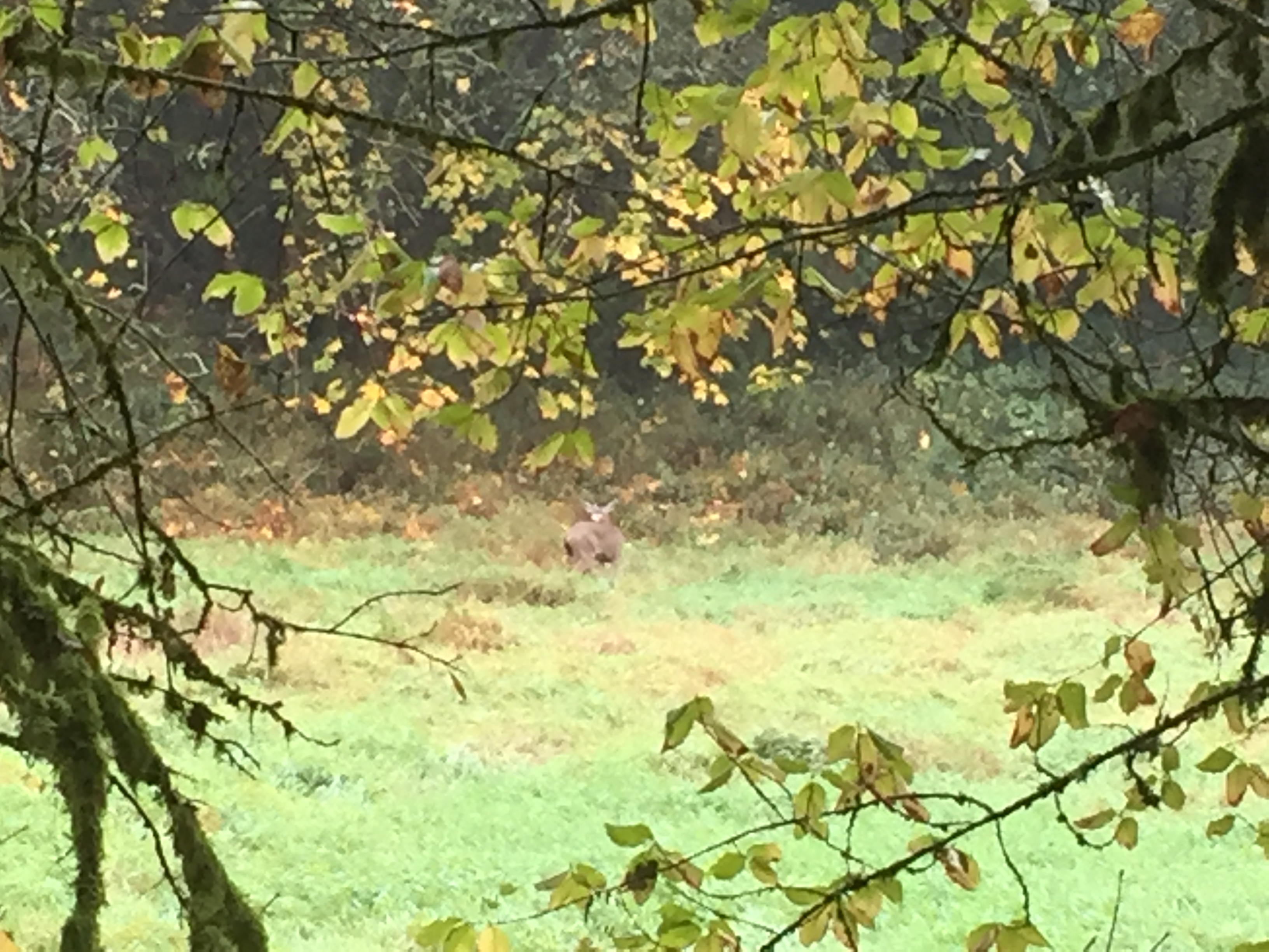
There are two places on the drive to stop and get out of your car. The first is a short walk to a viewing blind, where you can observe wildlife in the neighboring grasslands. I was there last spring and was able to watch the sparrows up close that were nesting in the bird blind. Last time I visited there, a couple deer seemed to treat it as an opportunity to observe the humans.
The second stop (open May 1 to September 30) is the Kiwa Lake Trail. This trail loops about a mile and a quarter through a grassy wetland giving you opportunity to observe the birds and enjoy nature. This area is also open to water fowl hunting during hunting season.
For the latest updates on work being done, and to check if trails or access is closed for work, see https://www.refuge2020.info/


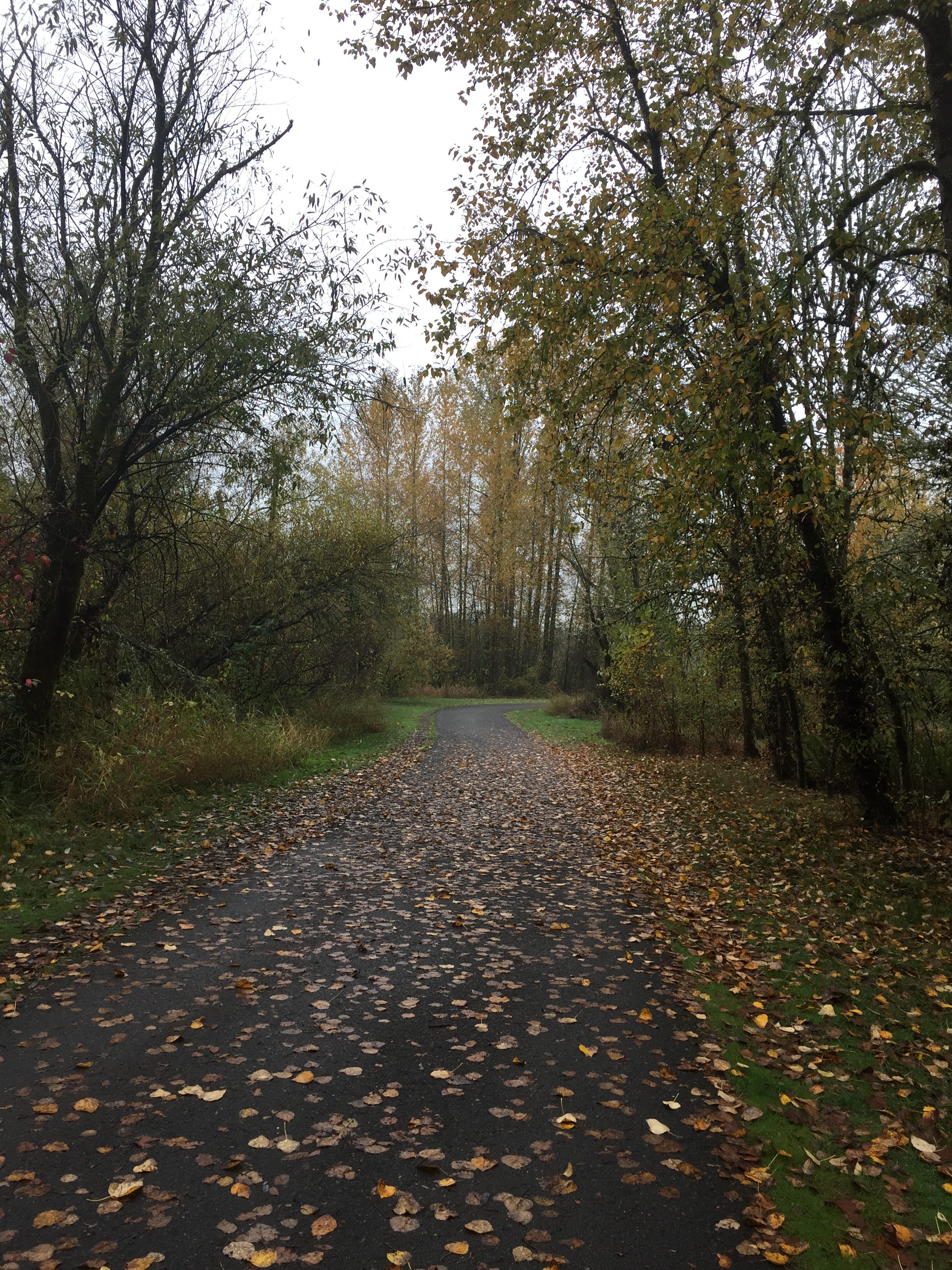
The Heritage Trail runs the length of Lacamas Lake (3-1/4 miles). This is a very popular jogging path. Gravel and well maintained the full length. On wet days there are quite a few puddles and some muddy leaves, but nothing difficult to get past.
The parking lot at the north end often fills up, with some people resorting to parking along the curb and on the passing road.

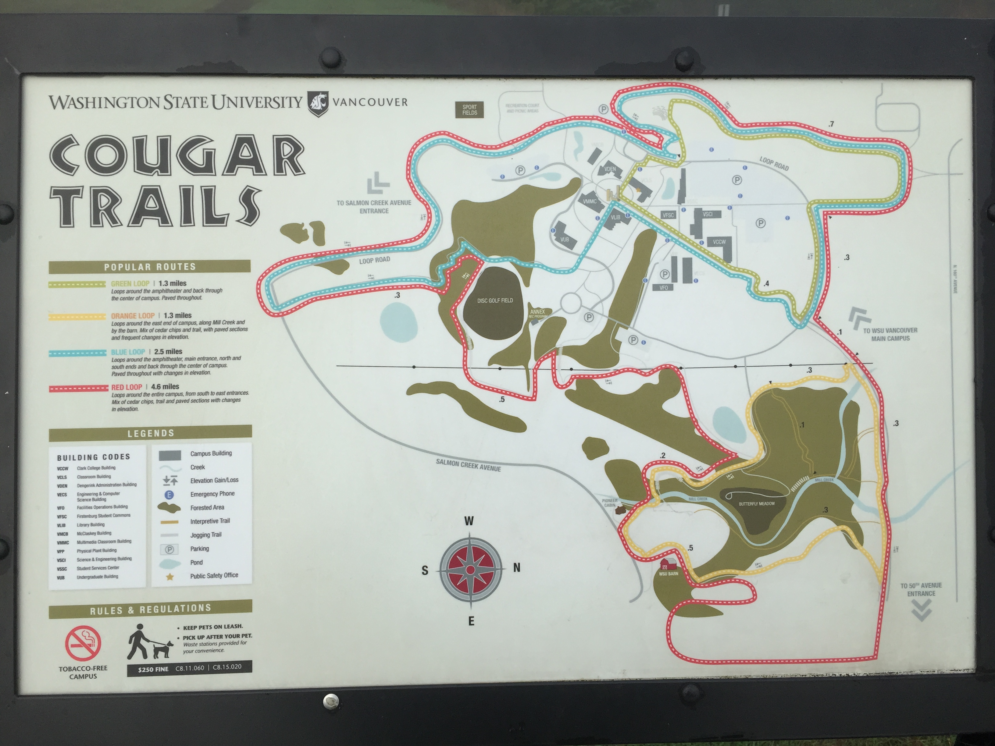
The WSU Campus includes over six miles of trails. On weekdays a parking pass is required to park on campus, but on the weekend no pass is required.
A good walk or bike ride is to start at either Pleasant Valley Community Park or Vista Meadows Neighborhood Park, walk through the WSU campus then up to the other park, turn around, and return taking another trail through WSU along the way.


The Salmon Creek Greenway Trail offers a nice long walk or ride within the urban area of Vancouver.
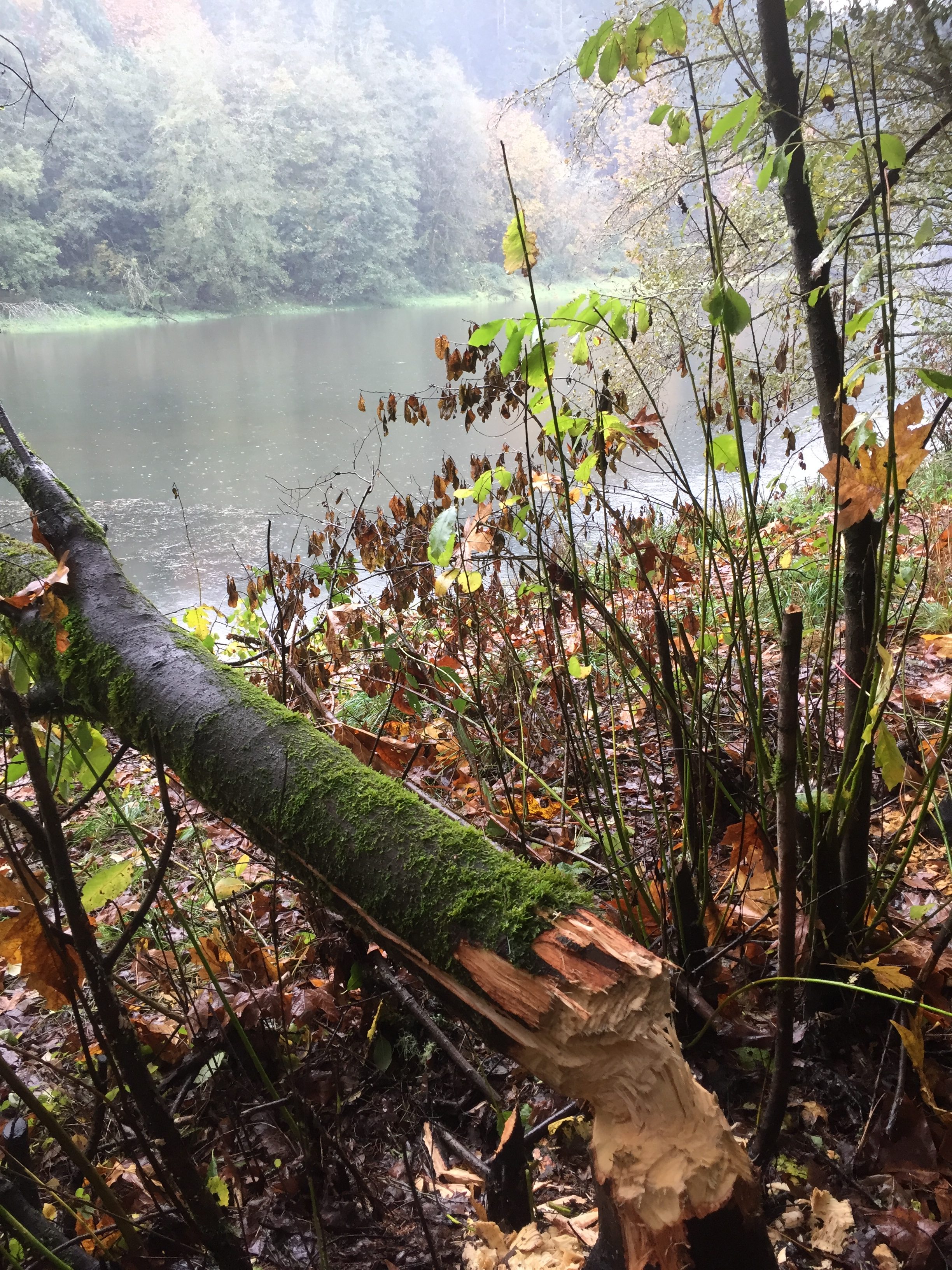
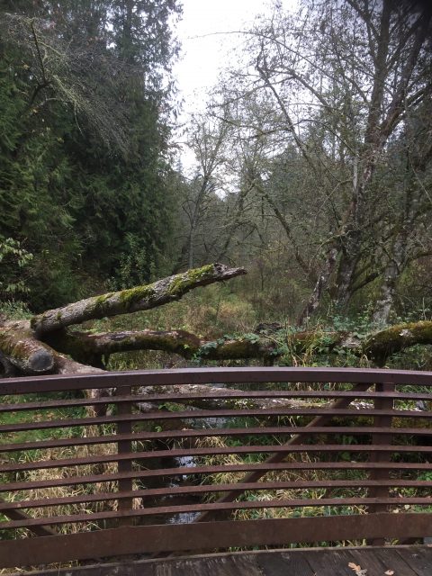
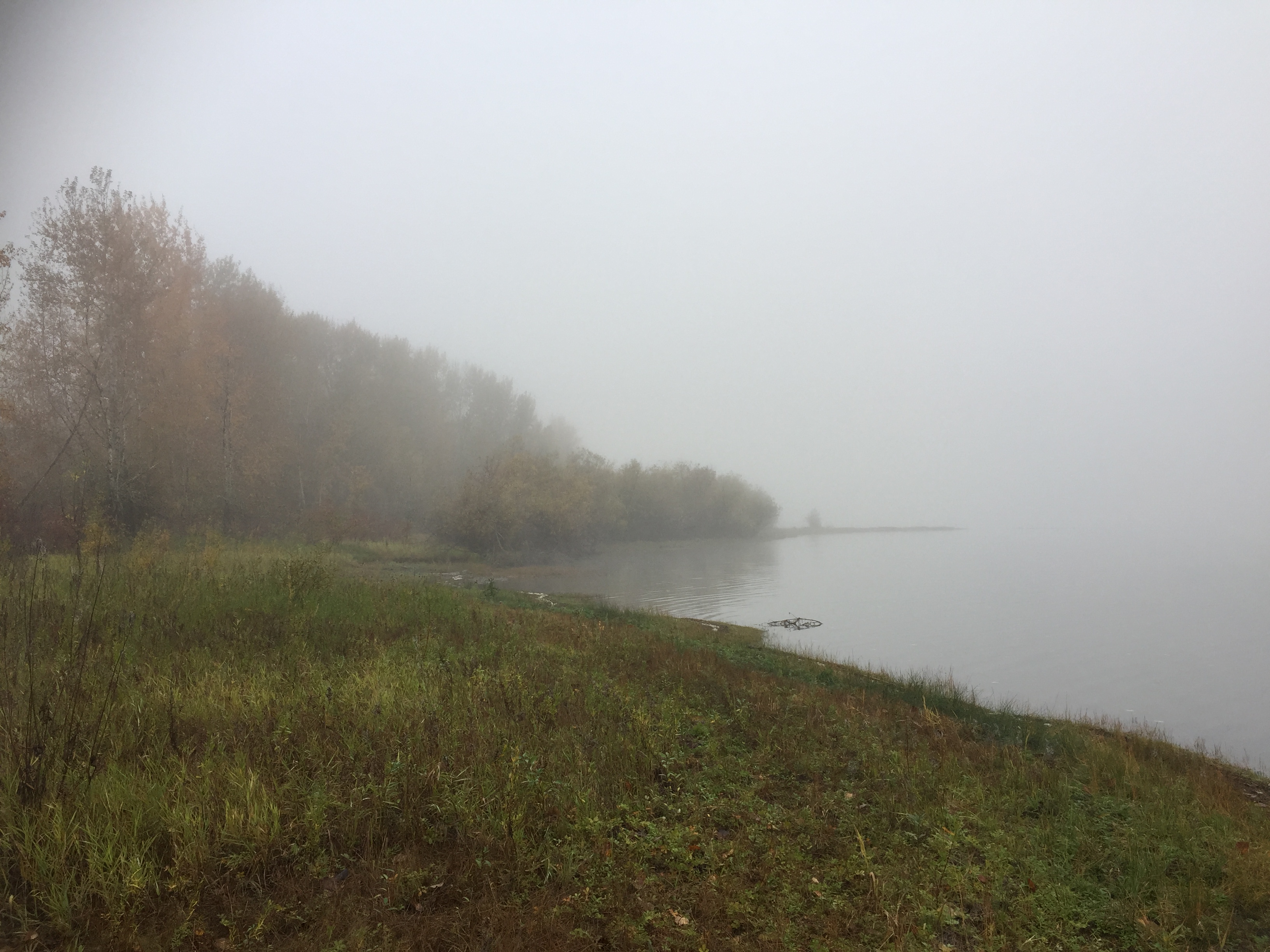
Lake Rosannah (formerly known as Mud Lake) is protected by surrounding conservation lands and land managed for conservation purposes. A short trail accesses the south end of the lake from Allen Canyon Road.
When I last visited beavers had fallen a tree across the trail. No worries though. I expect the beavers will have the tree removed within a few days.
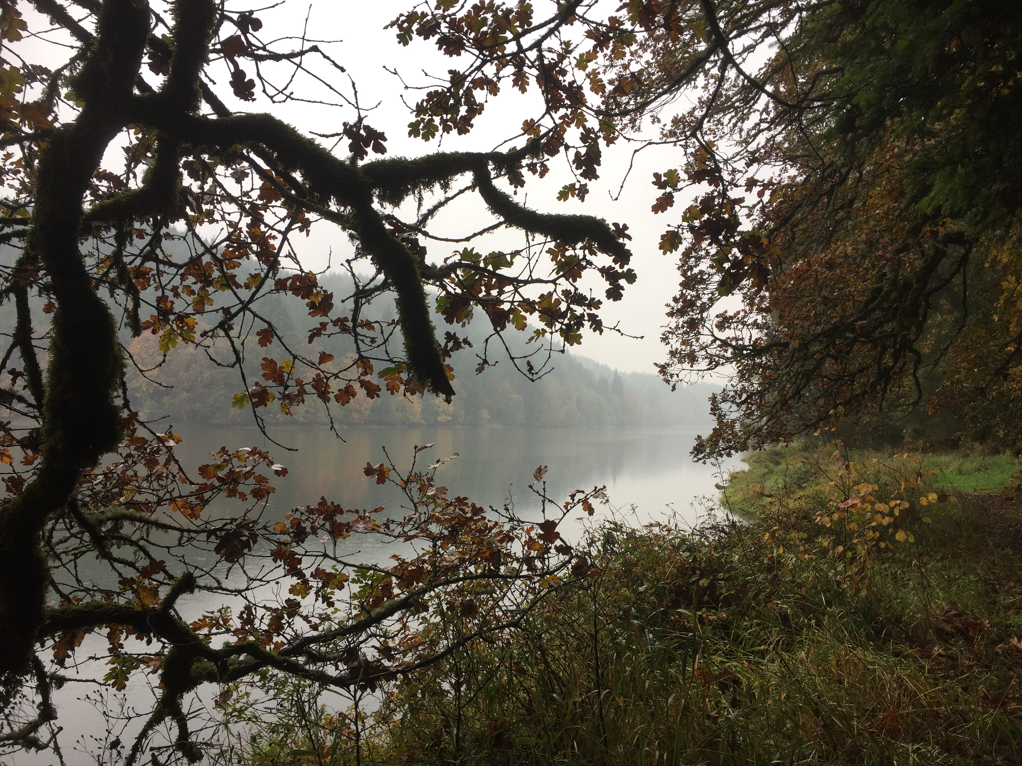
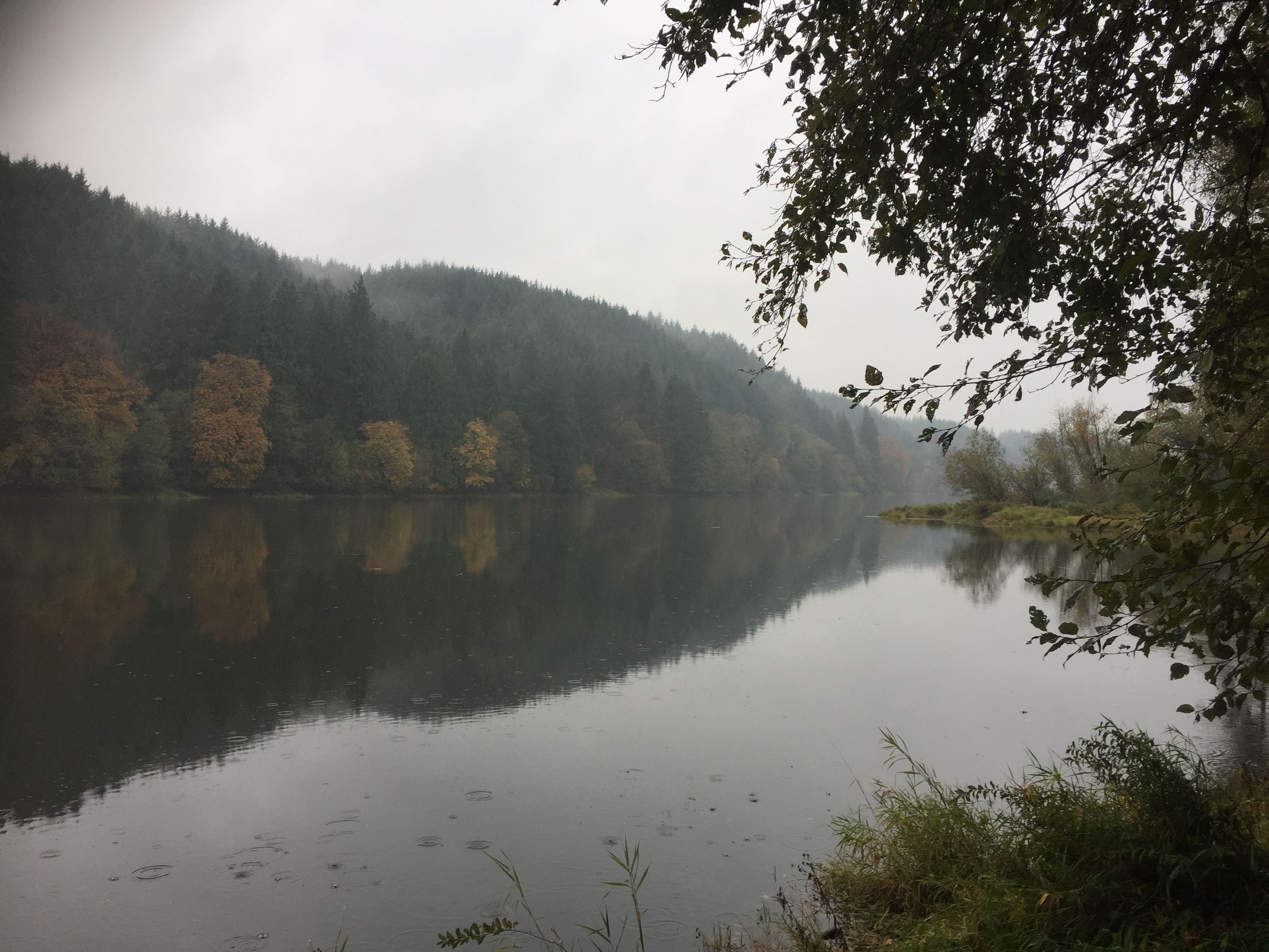
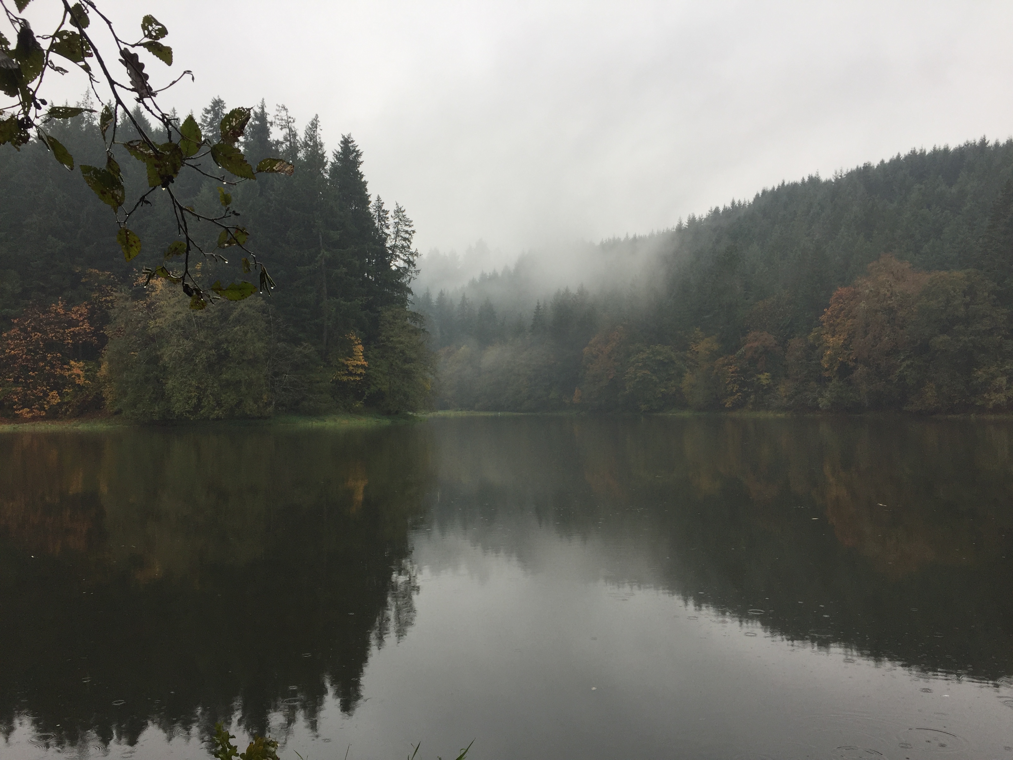
This lake is where I have often seen flocks of swans. It is quite a site to see when a flock that has been resting on the lake takes to wing. Even from the far side of the lake they are impressive.
The lake is about 3/10ths of a mile from the road. About a half mile from the road there is a nice spot to stop and enjoy the lake. Beyond this point, the trail dwindles to a narrow path, which could be followed some distance further along the shoreline.
The area near the road, where the trail to the lake is located, is owned by the Columbia Land Trust. The rest of the land surrounding the lake is owned by Plas Newdd Farm, is managed for natural resource conservation and closed to public access.