Burnt Bridge Creek Trail connects with several other trails. A complete walk or ride from Fruit Valley Road to Burton Road is 8 miles. There are several places where you could choose to pick up the trail and do it in sections, and options to take side trails for added loops.
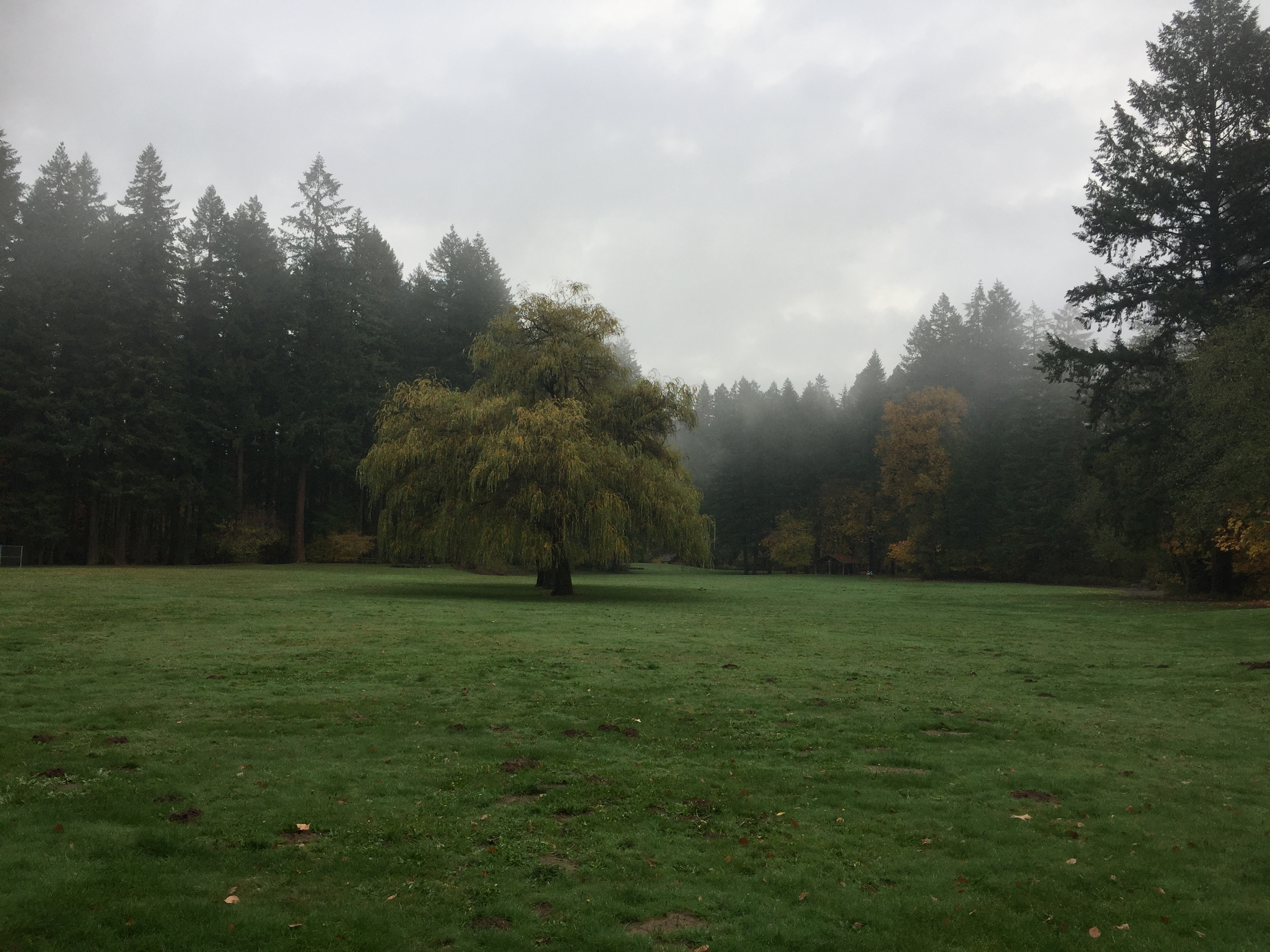
Two of the connecting side trails are the Ellen Davis Trail and the Discovery Loop Trail. The route passes through Leverich Park, Arnold Park and Meadowbrook Marsh Park. Some side trails explore these parks or connect to other nearby parks.
-
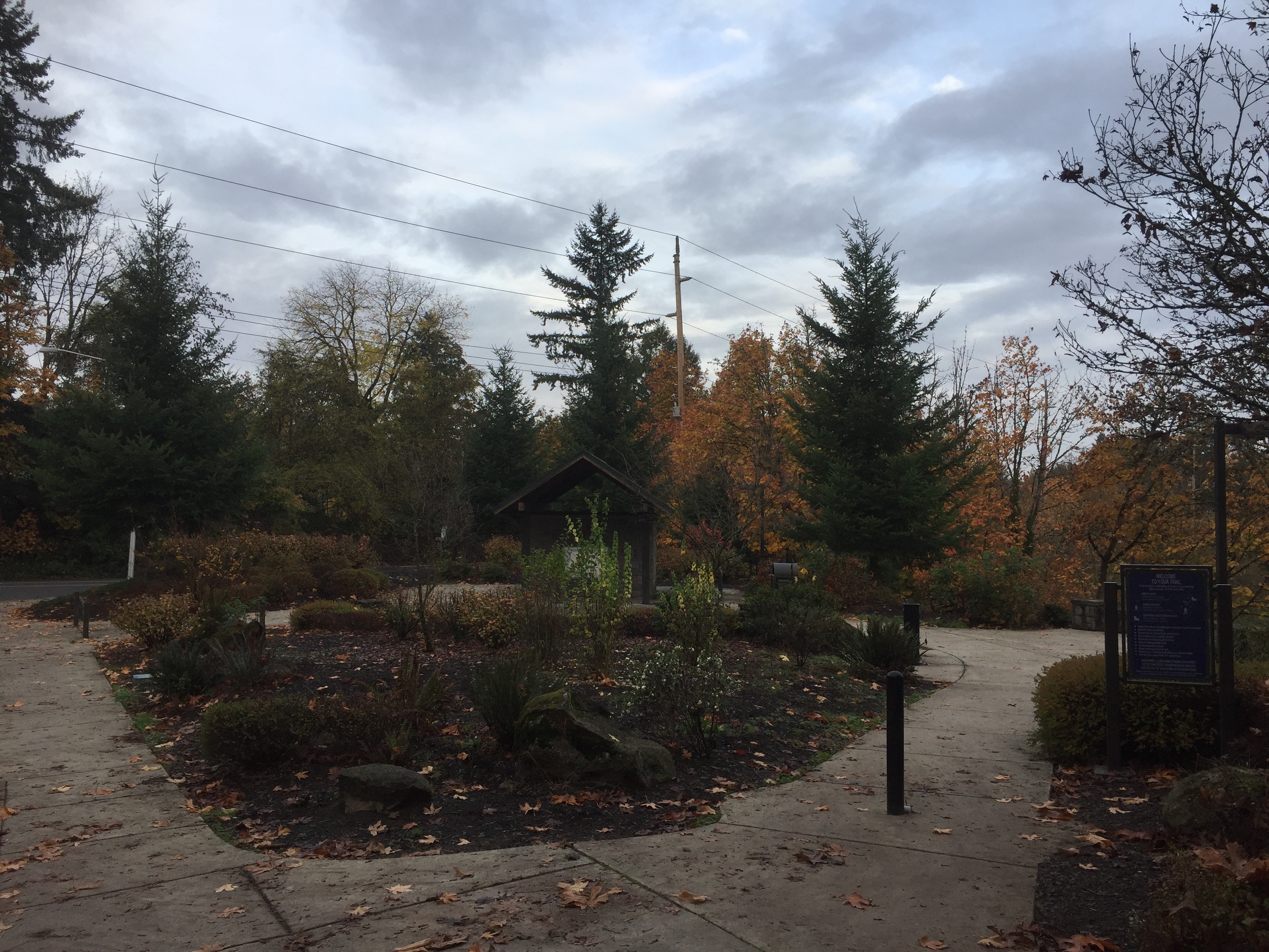
Burnt Bridge Creek Trailhead at Lakeshore Ave and Bernie Drive. -
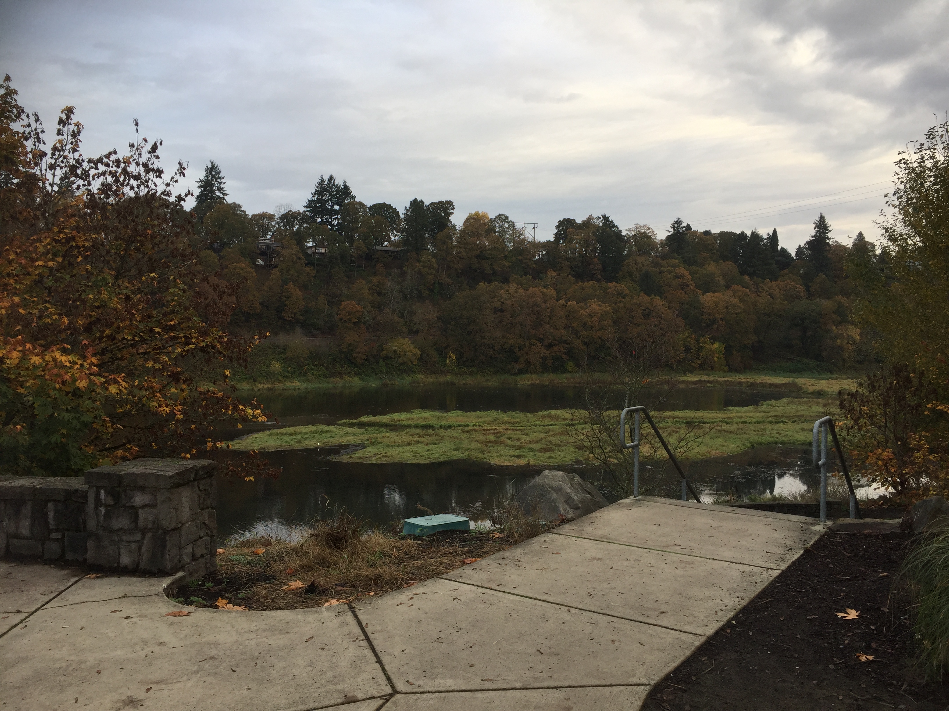
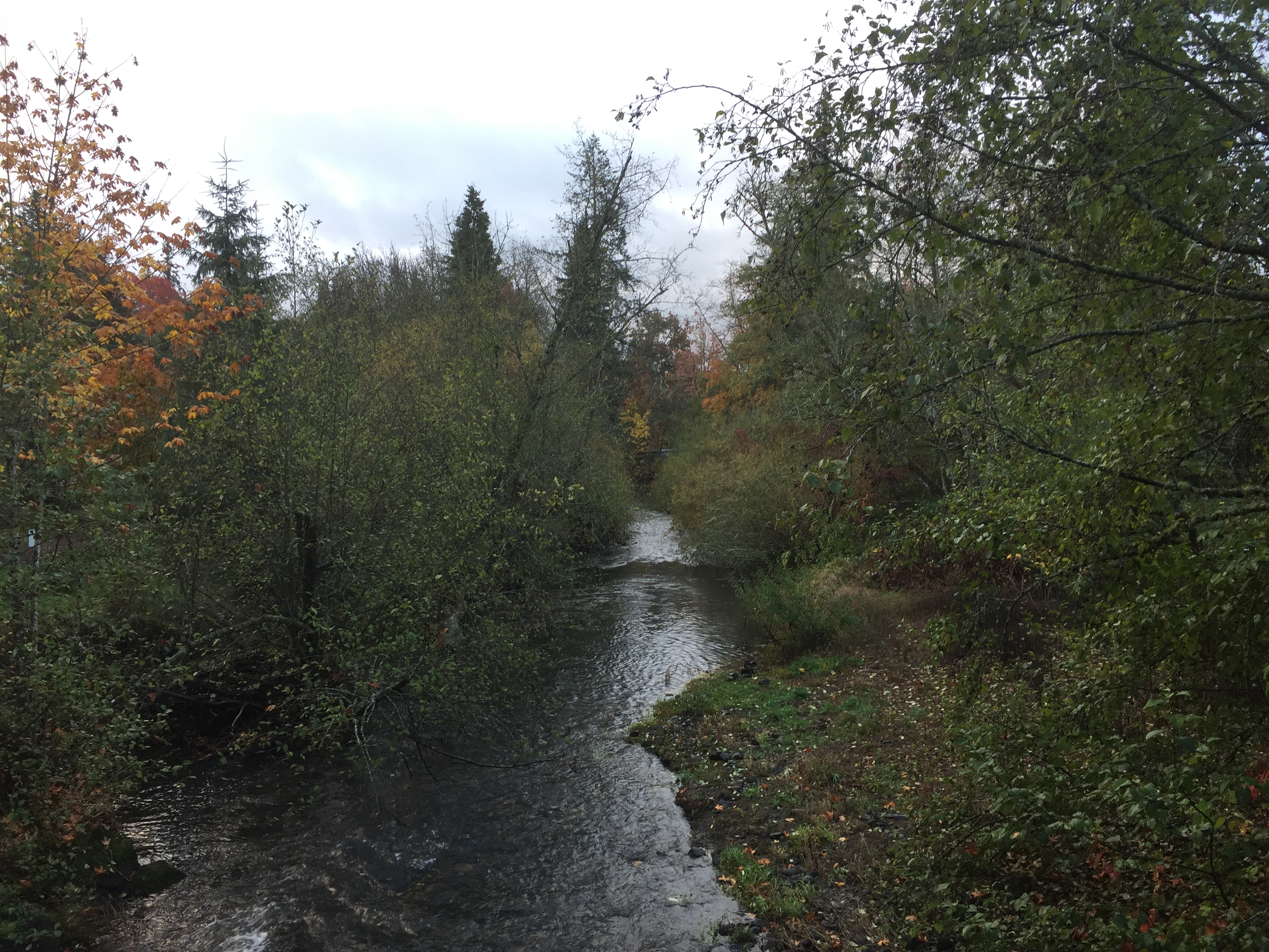
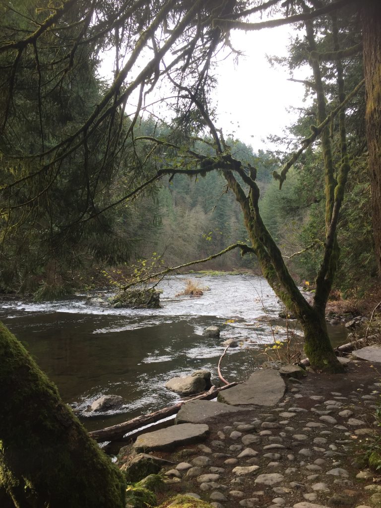
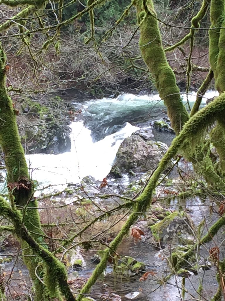
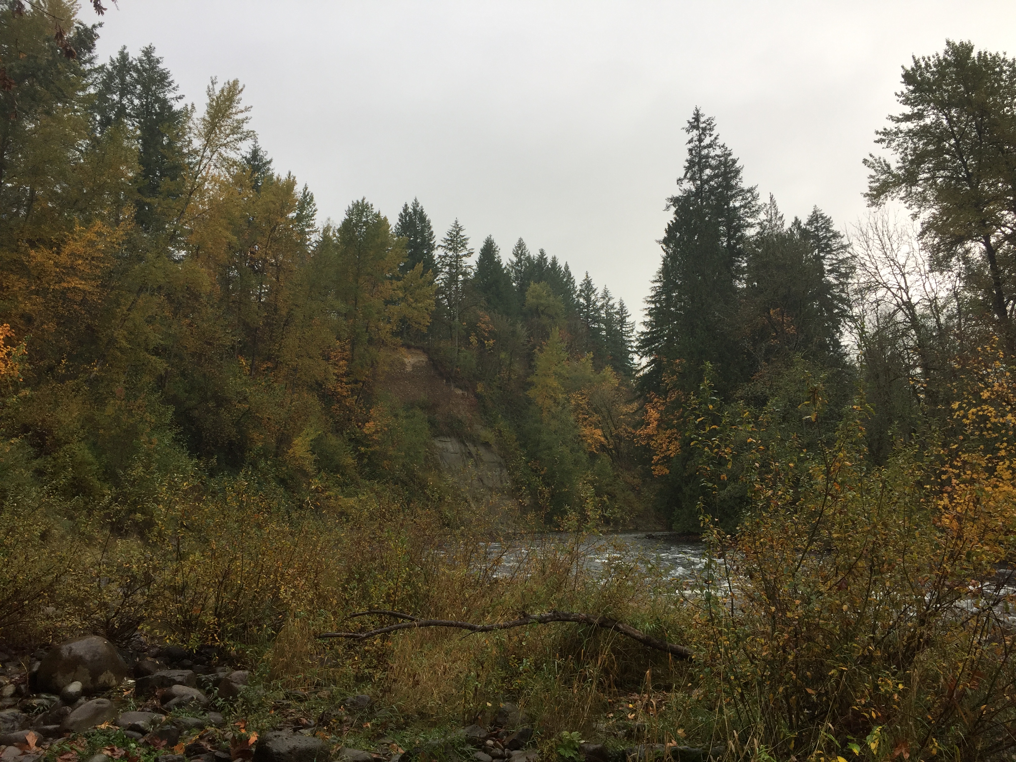
Burnt Bridge Creek wetland at west end. -
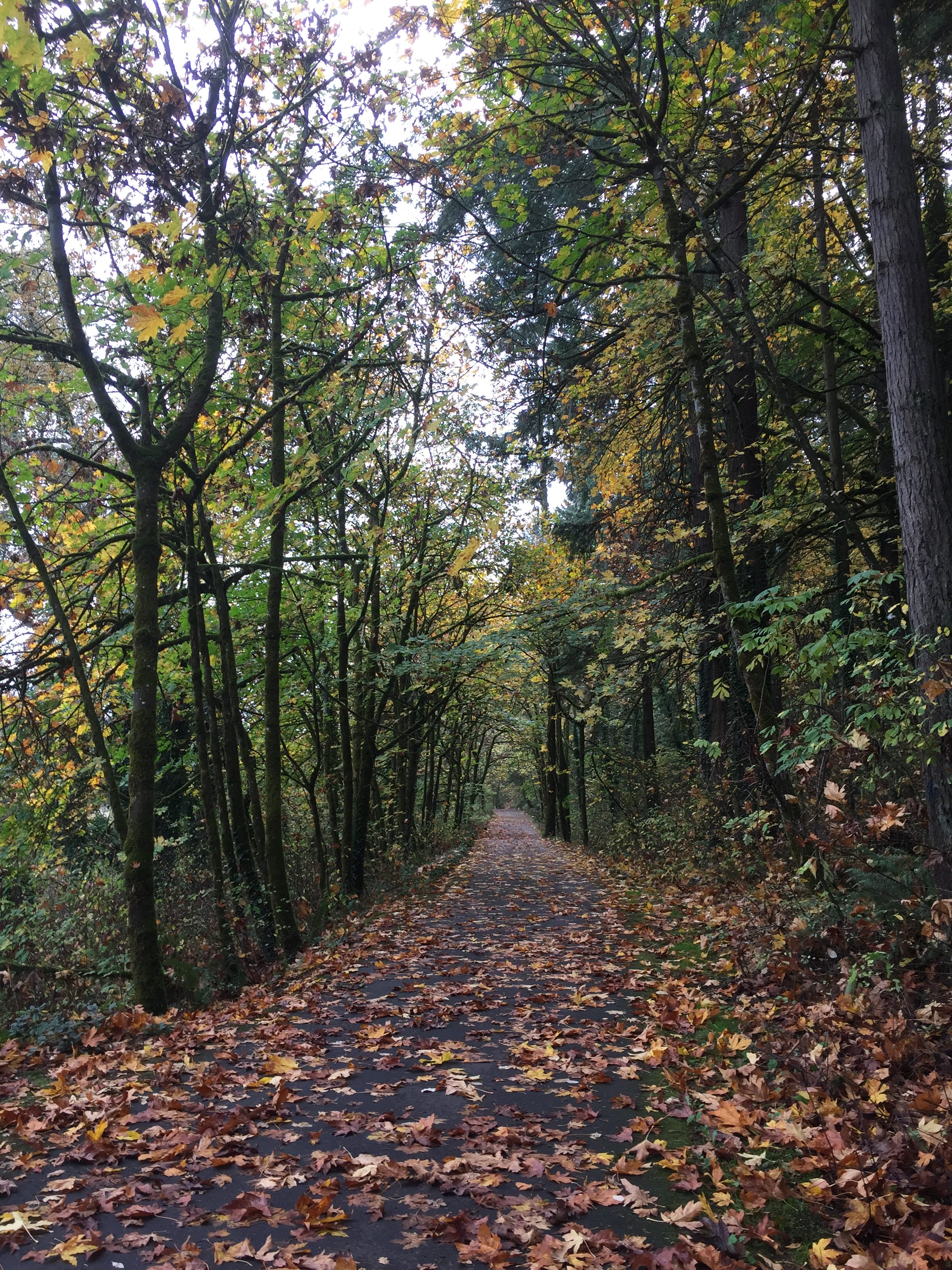
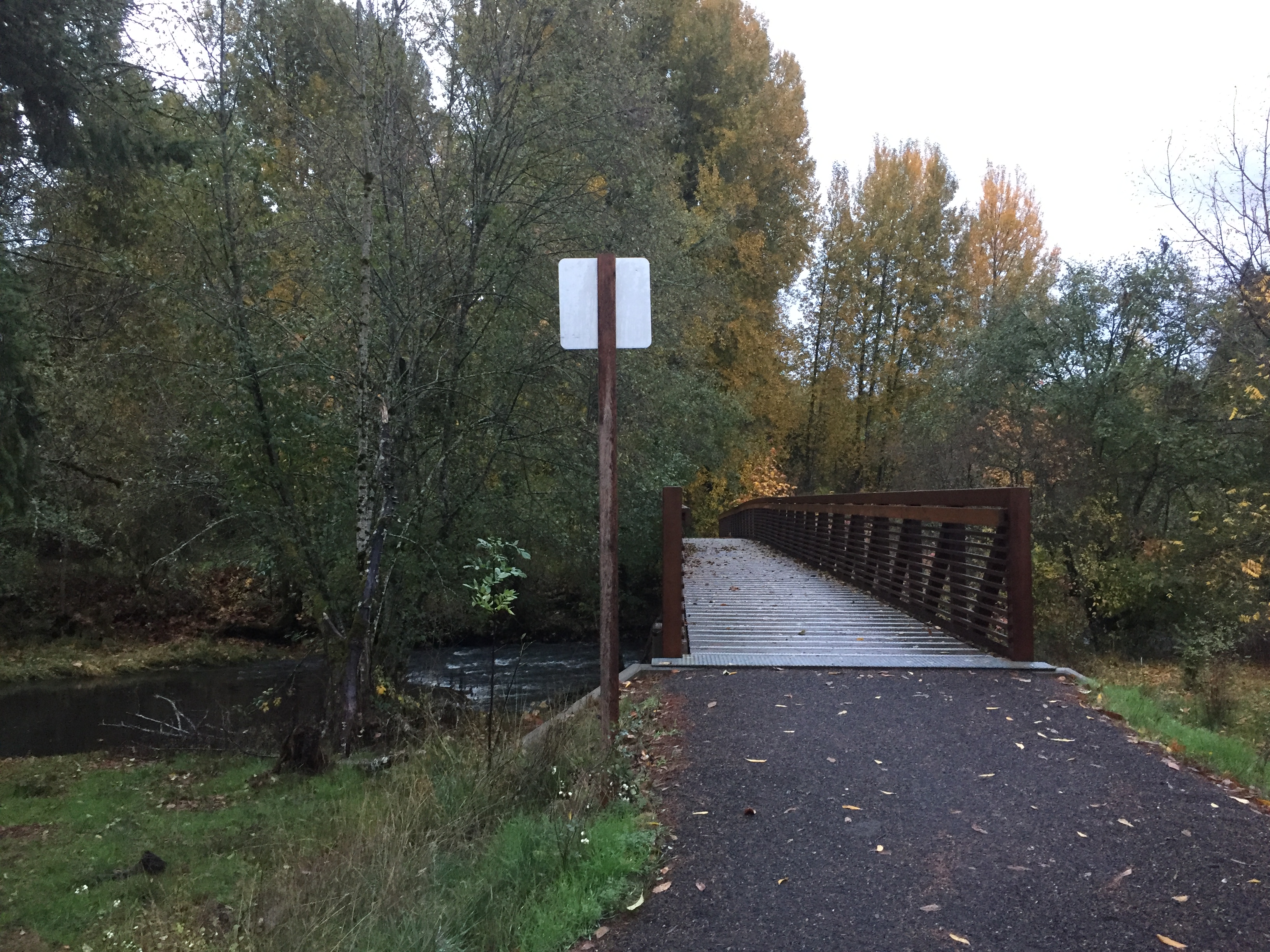
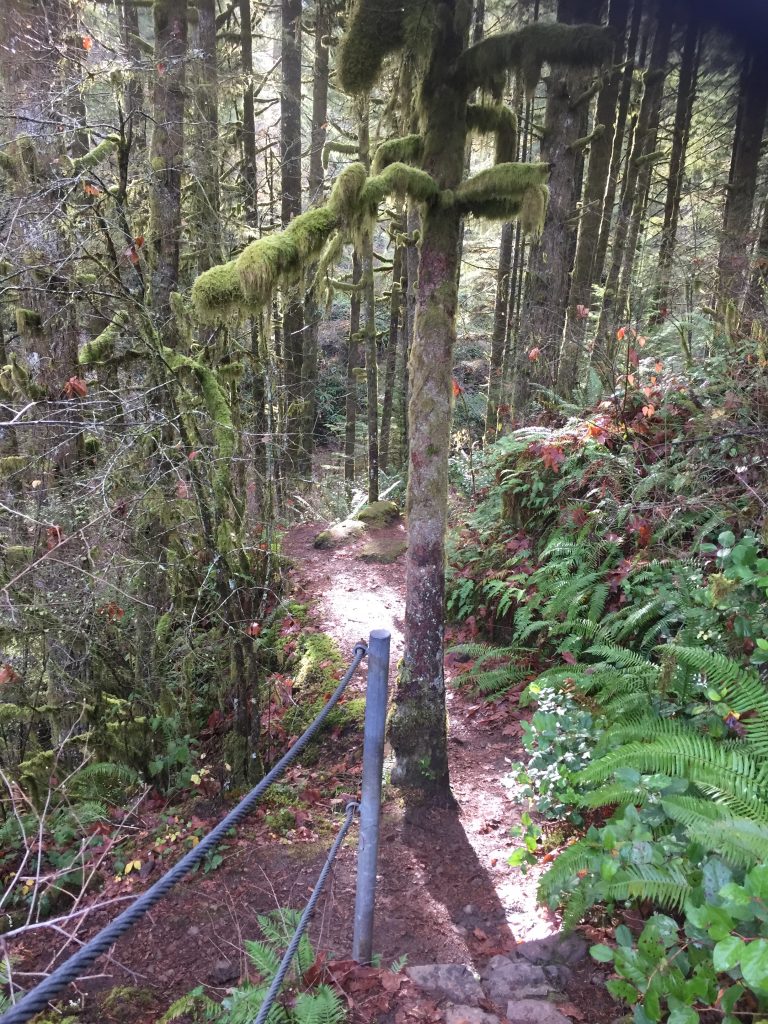
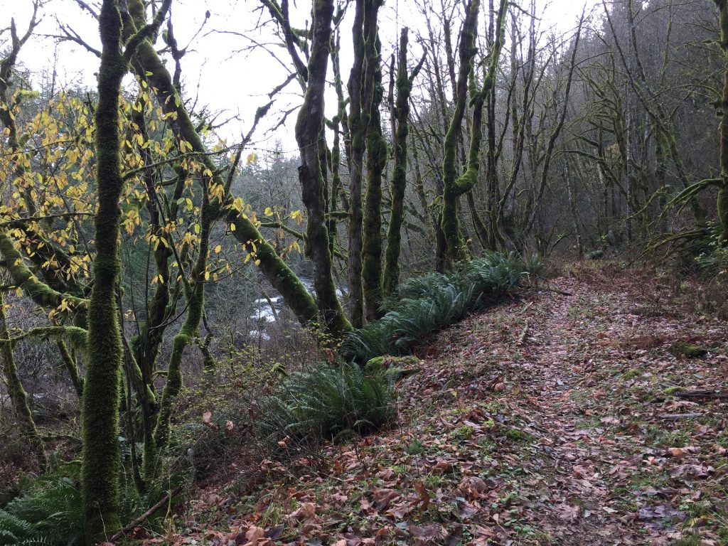
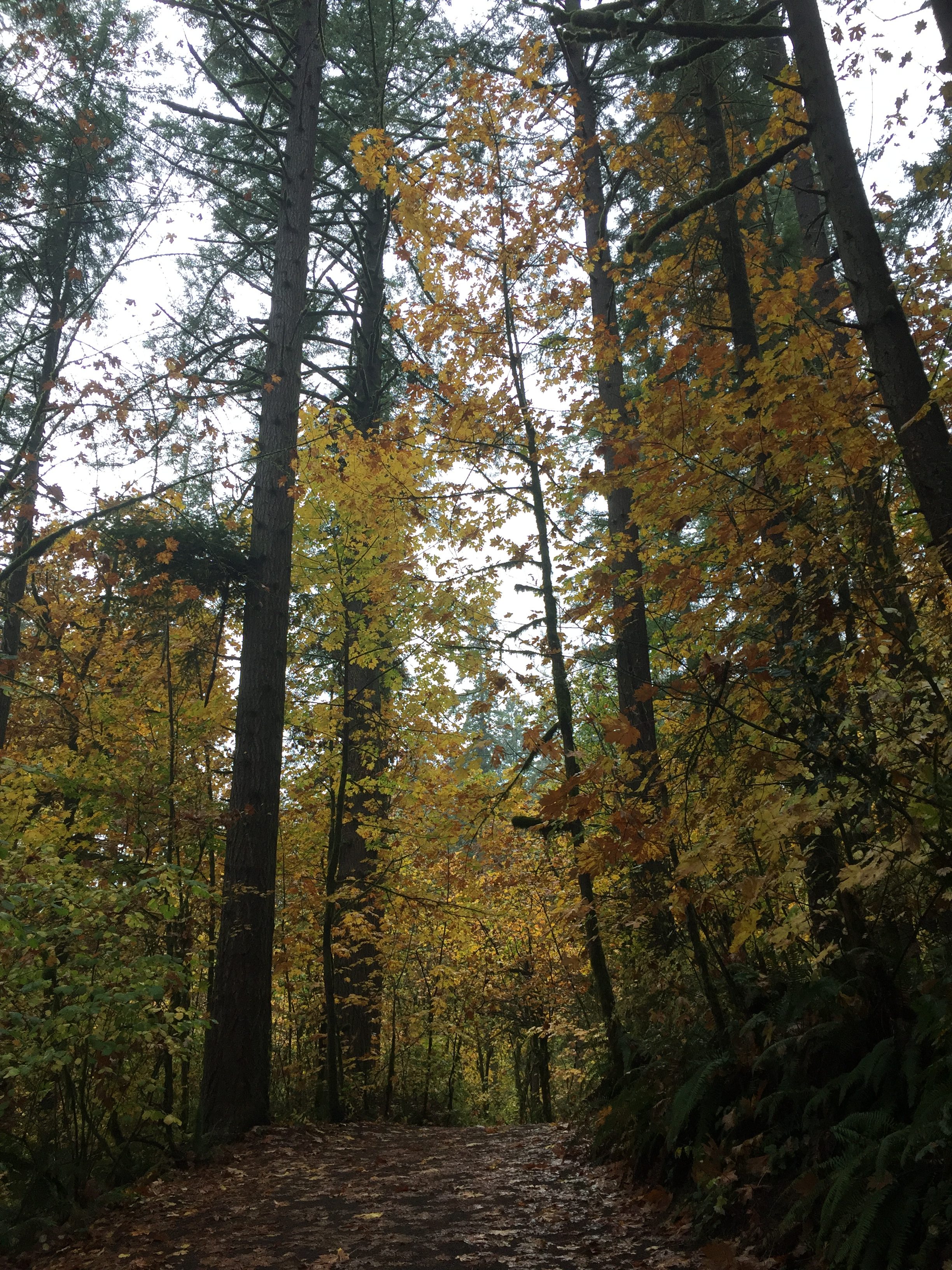
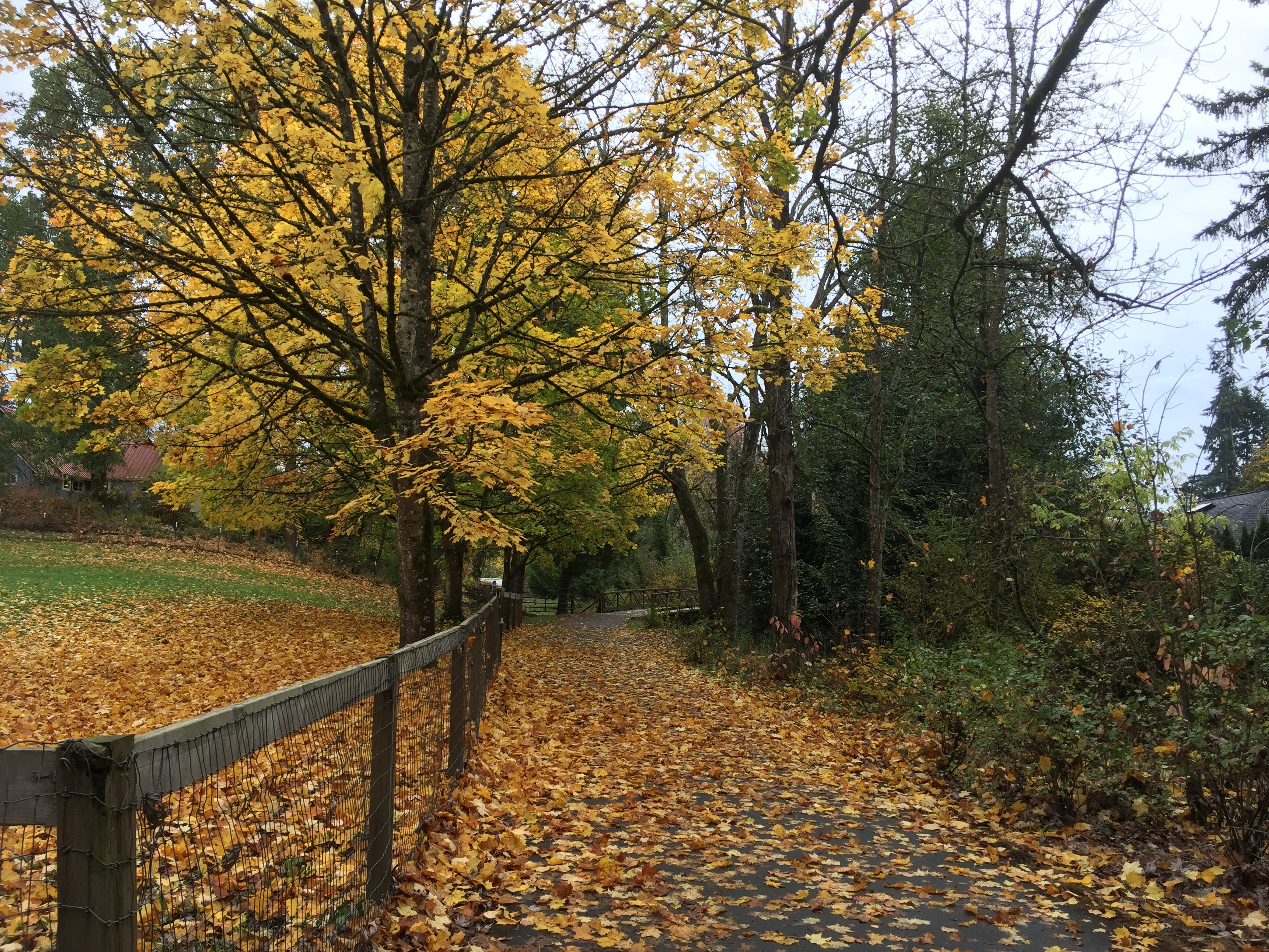
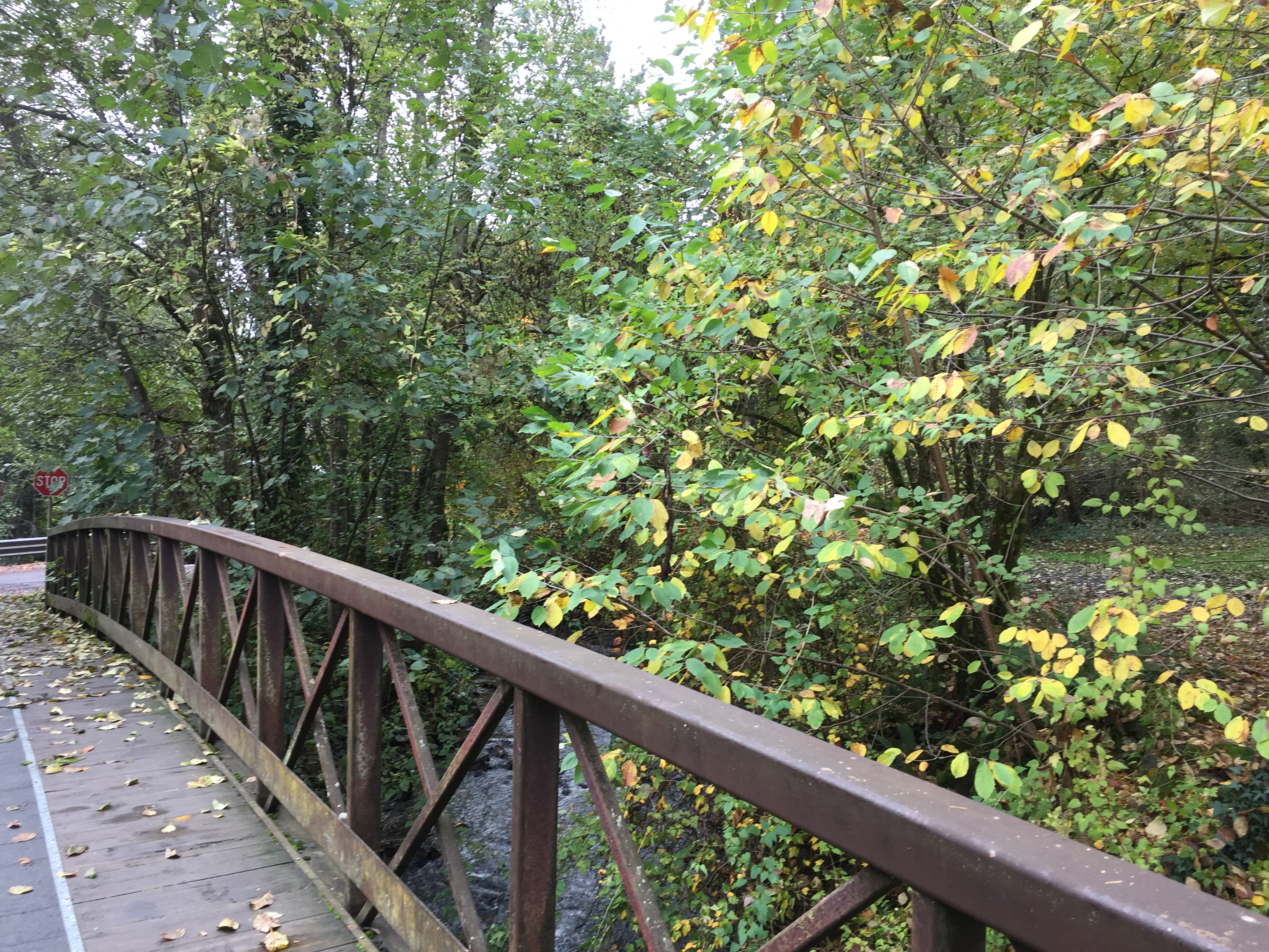
Burnt Bridge Creek Trail -

An area off Burnt Bridge Creek Trail used for mountain bike sports. -
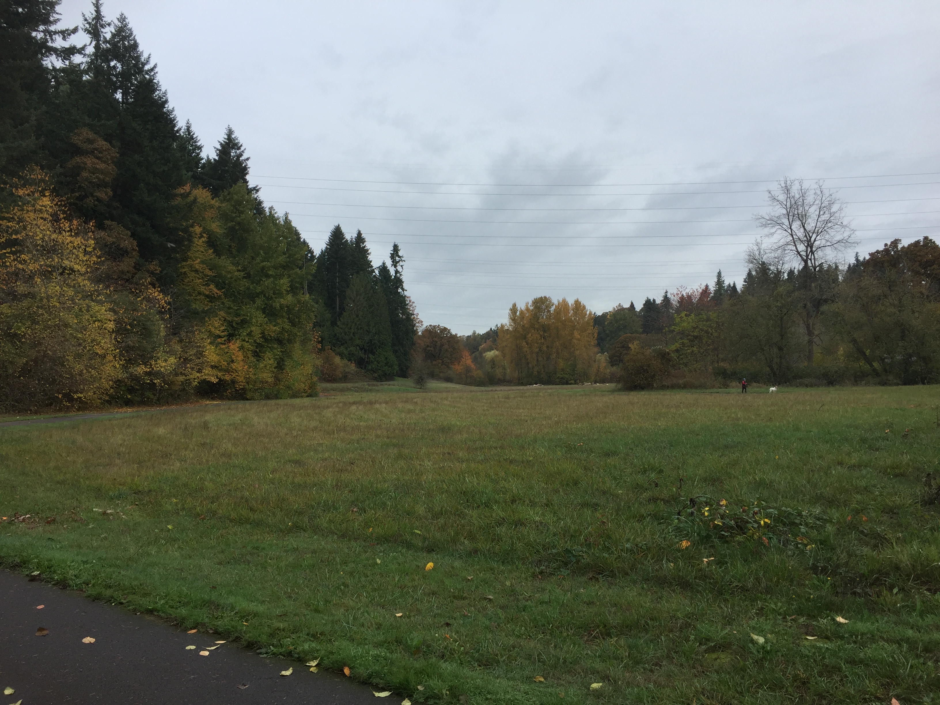
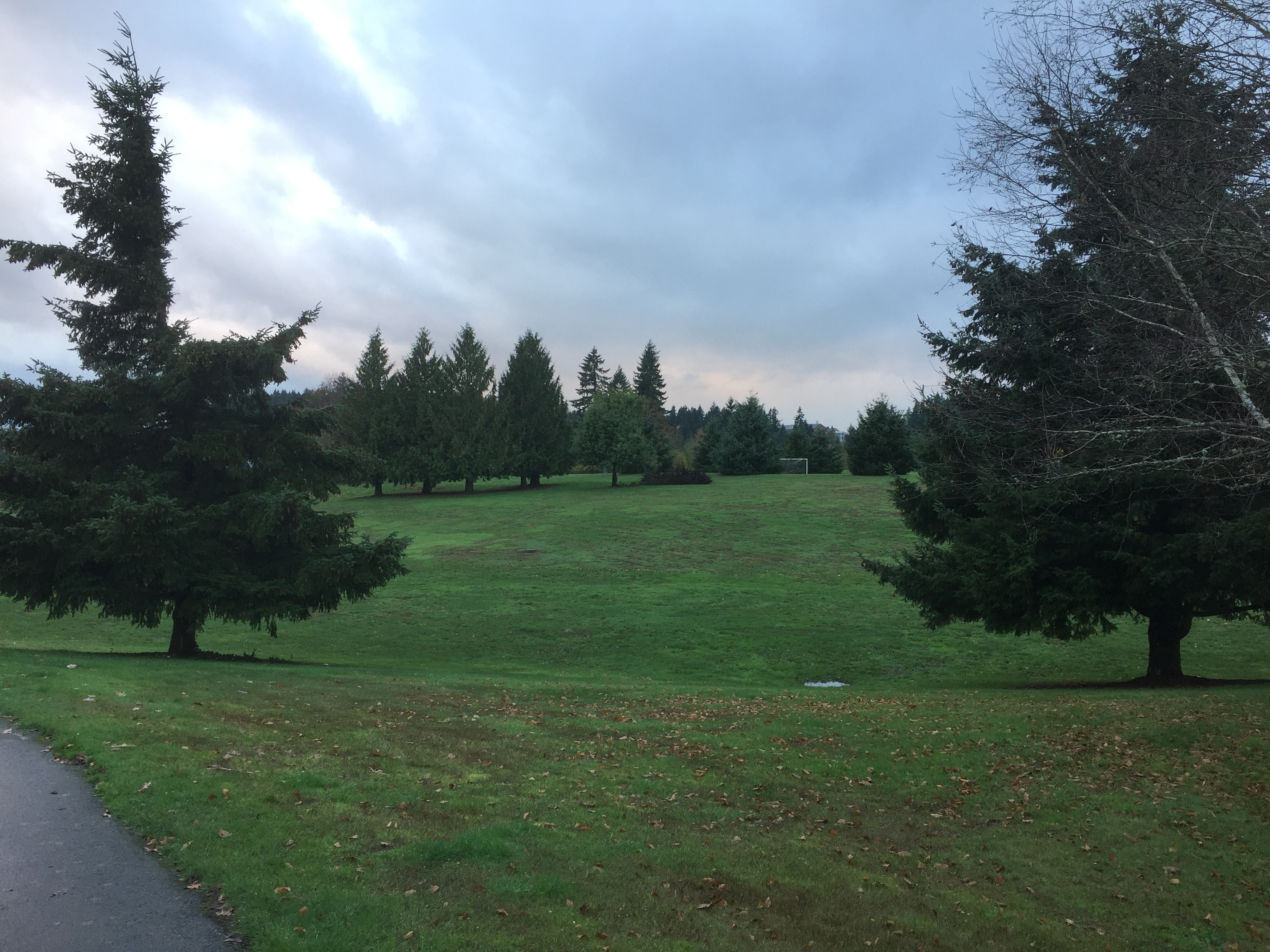
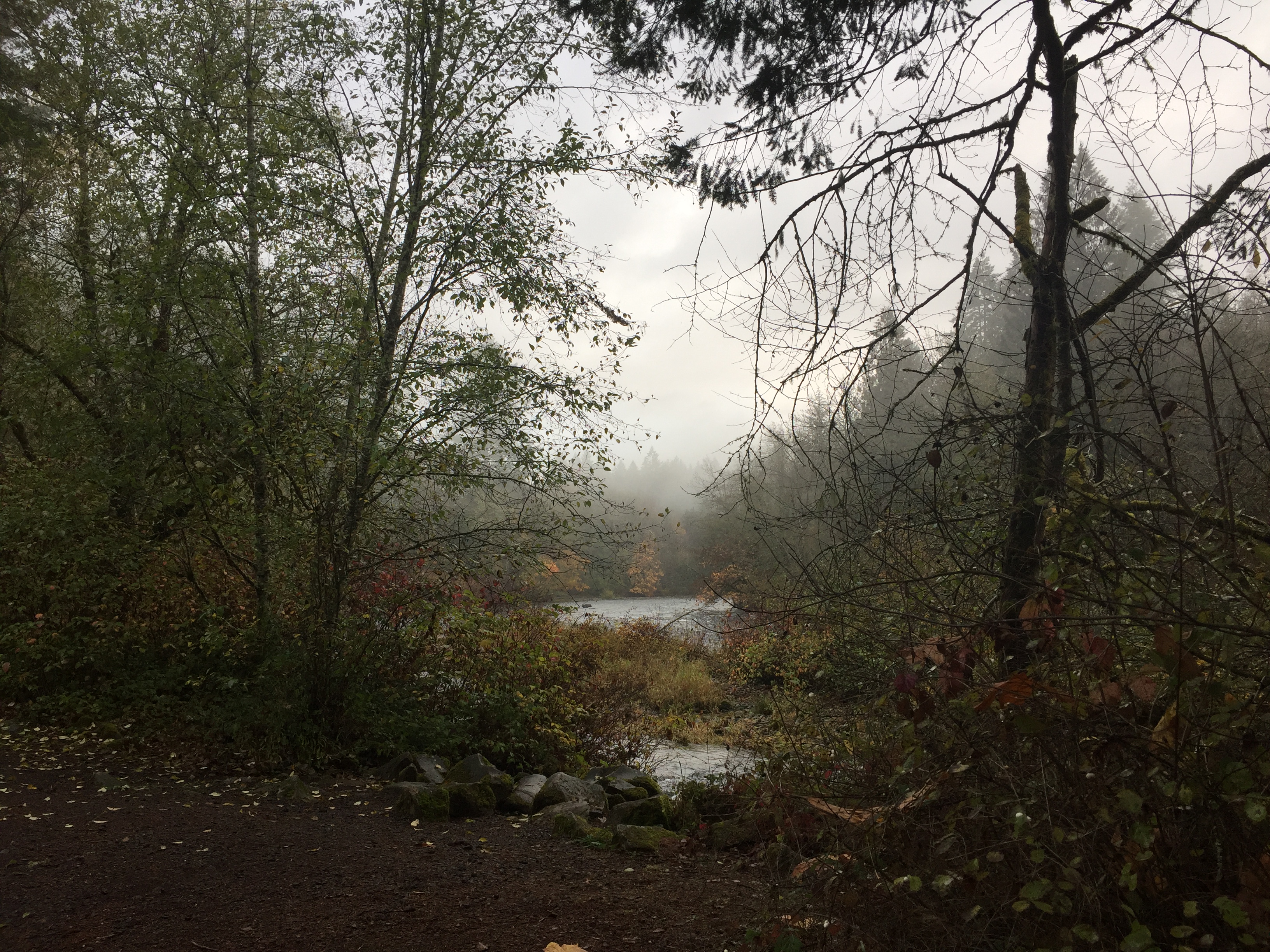
Burnt Bridge Creek valley, a popular place to walk dogs. -
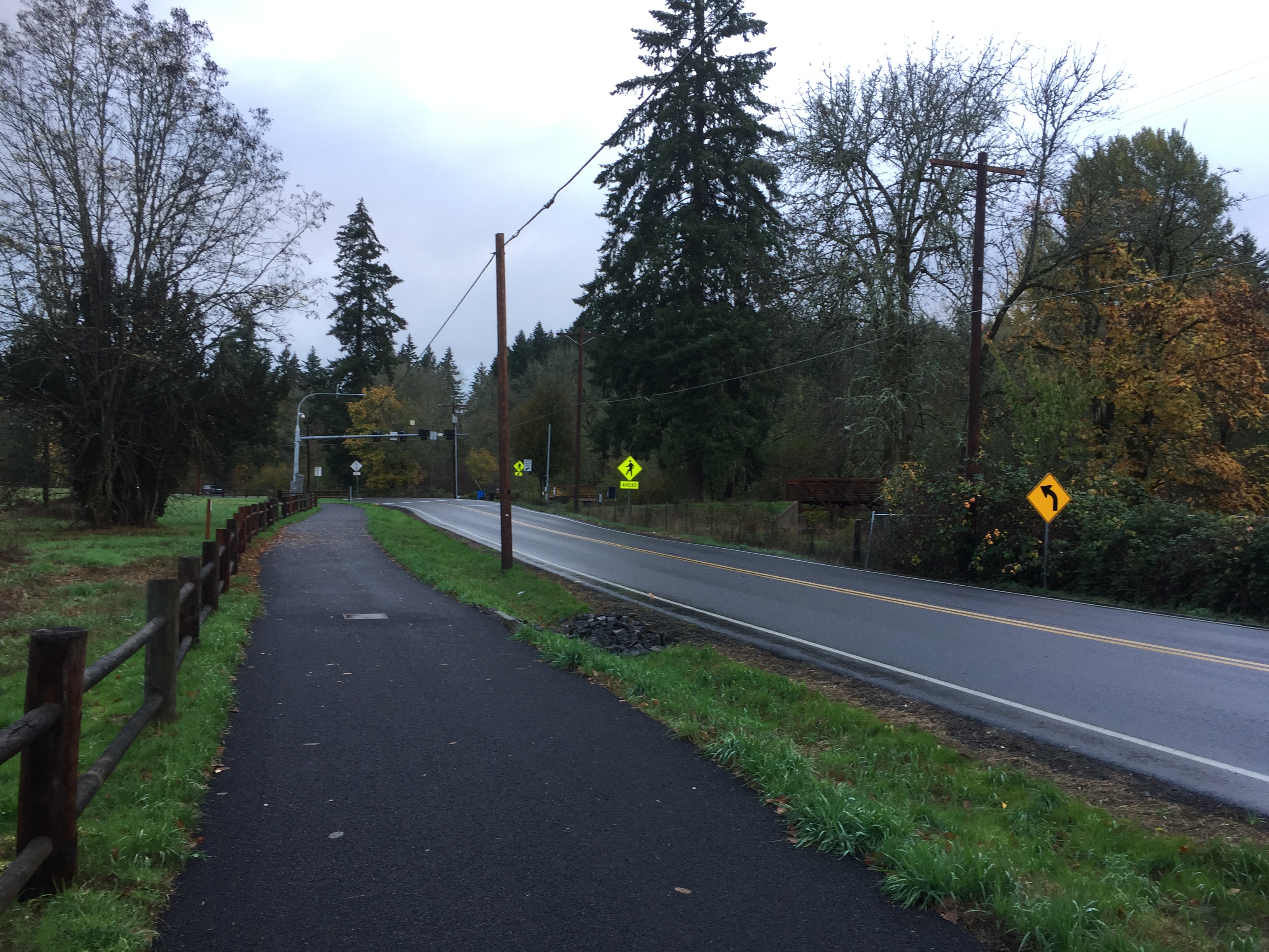
Burnt Bridge Creek Trail continues east from Alki Road. -
Burnt Bridge Creek by Alki Road.