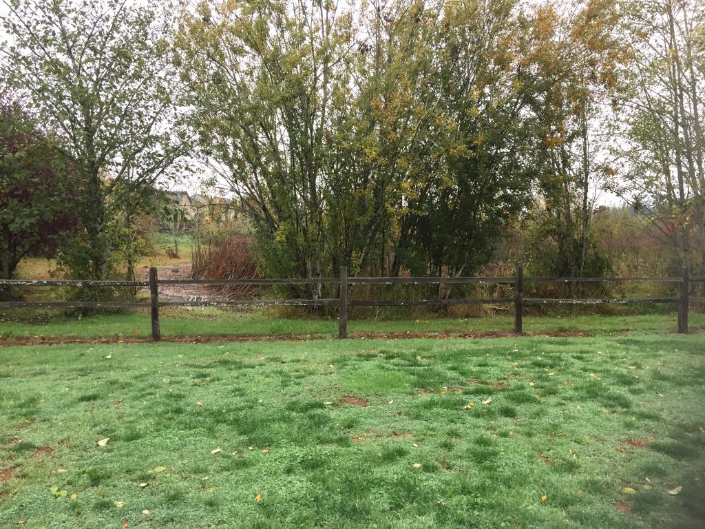
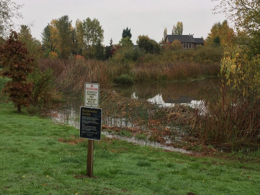
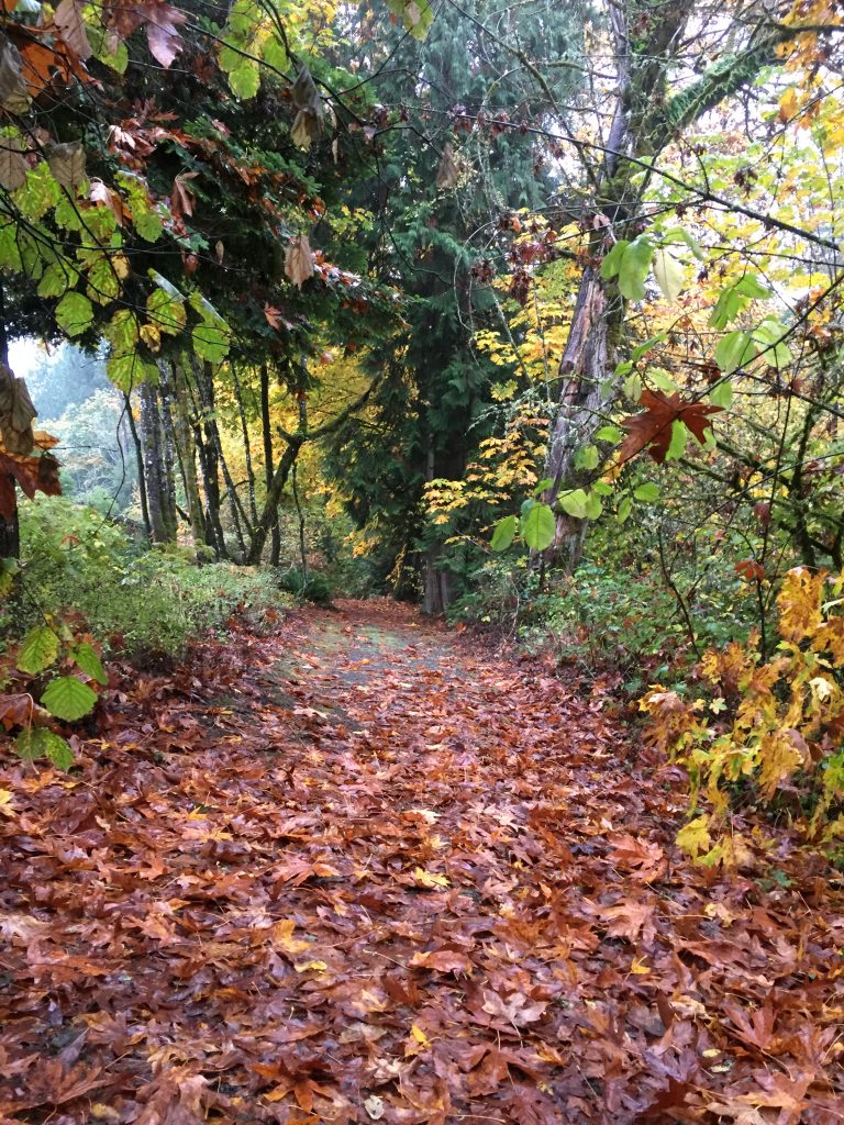
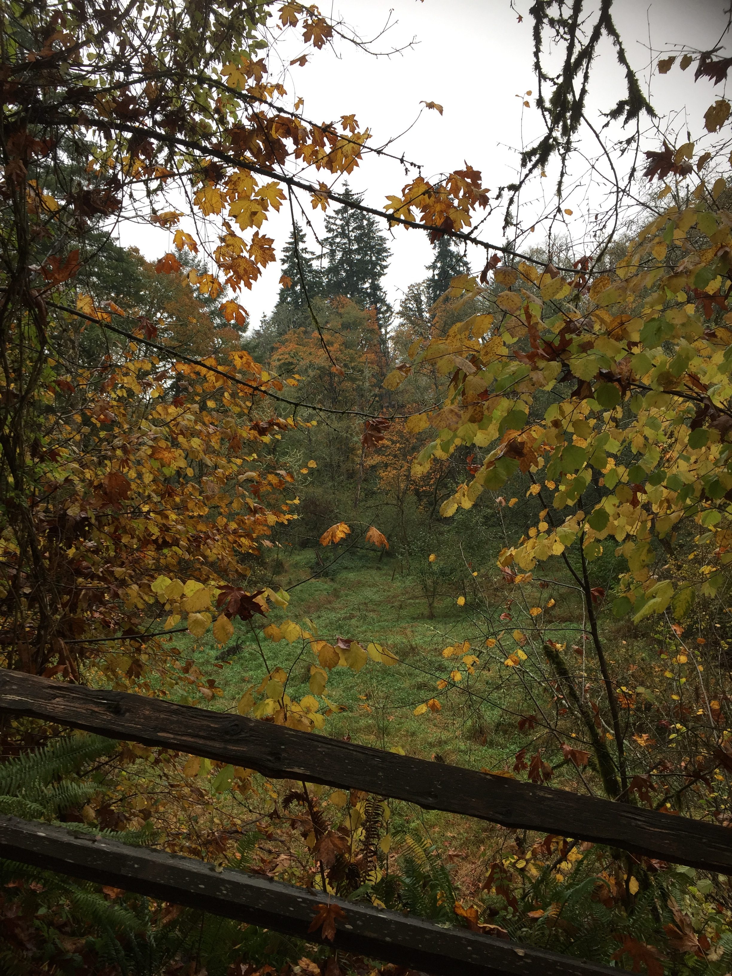
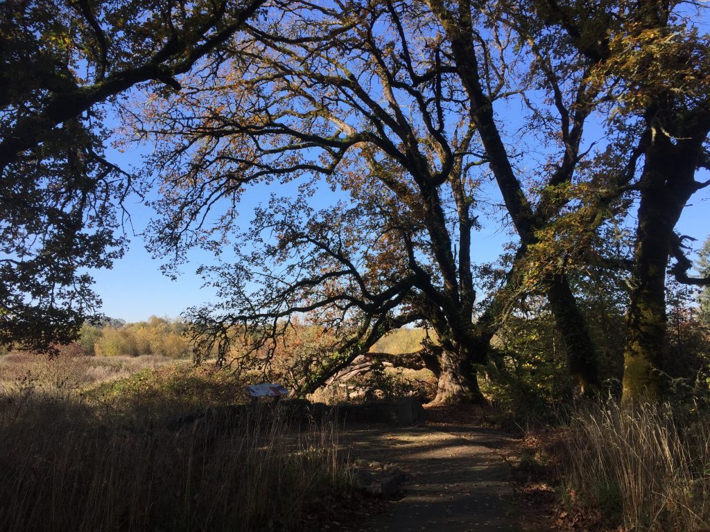
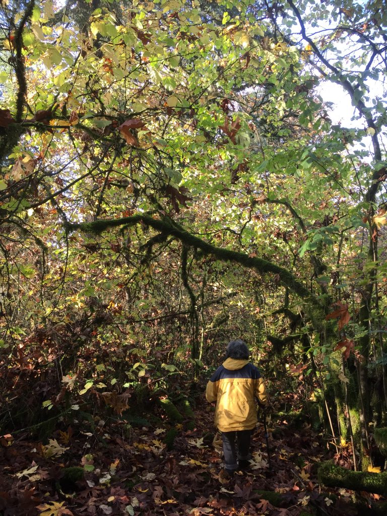
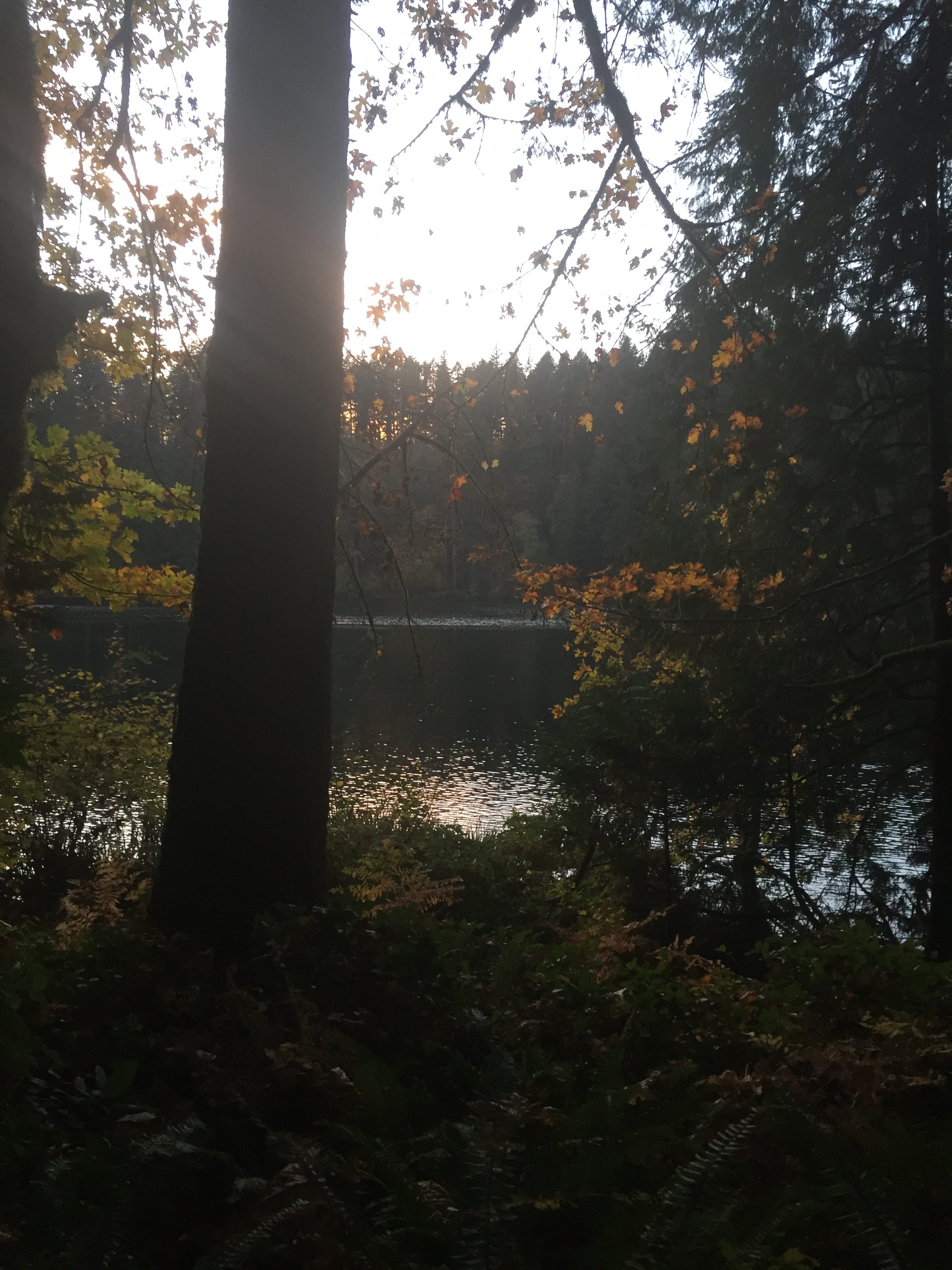
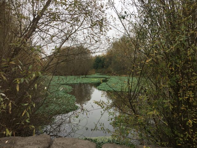
La Center’s Heritage Trail follows a wetland area for storm water management and at the west end walks through a stream-side forest corridor.
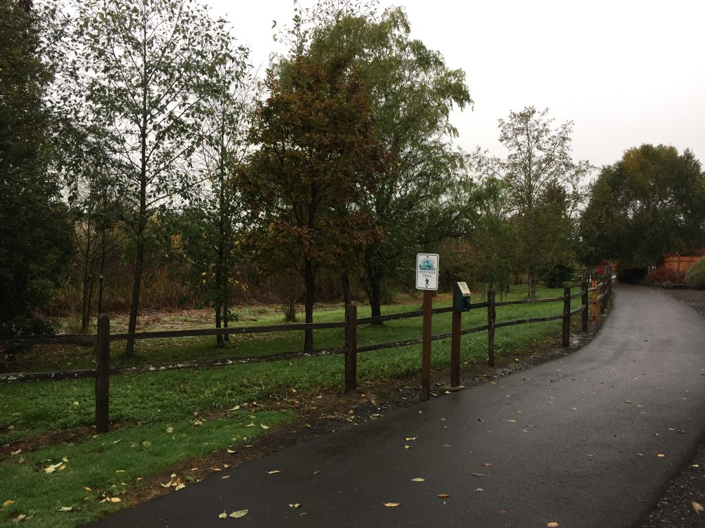
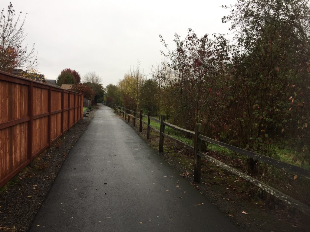
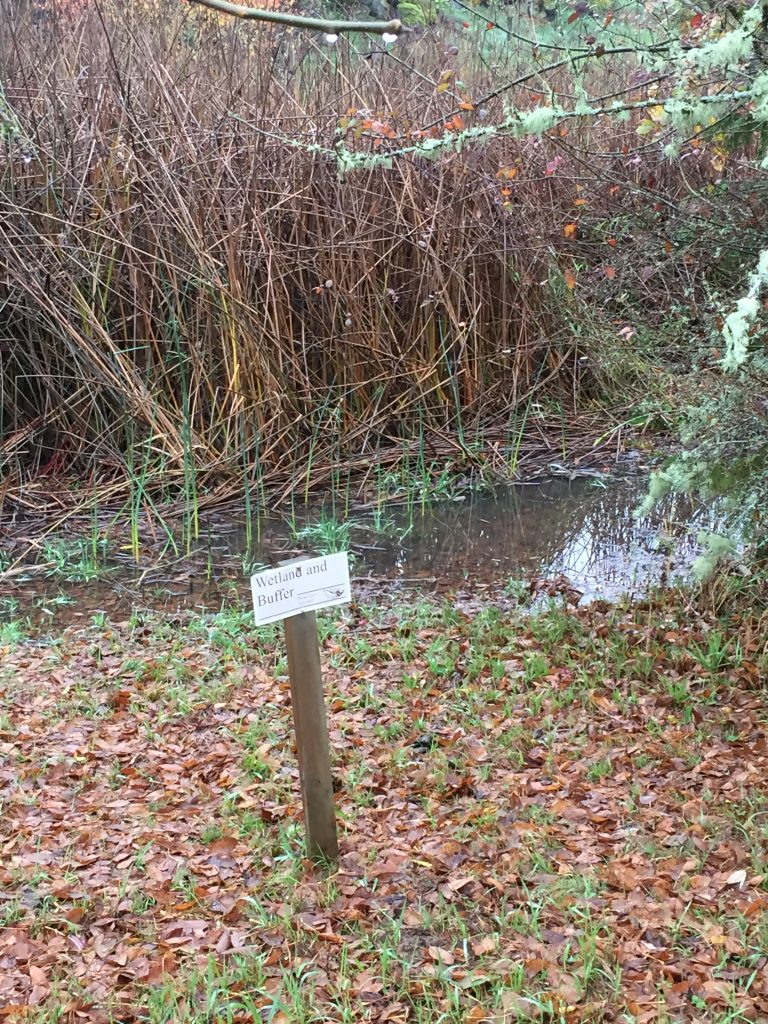
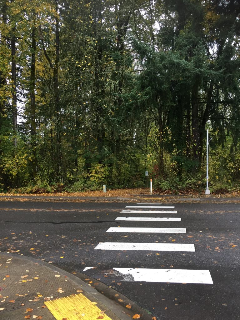
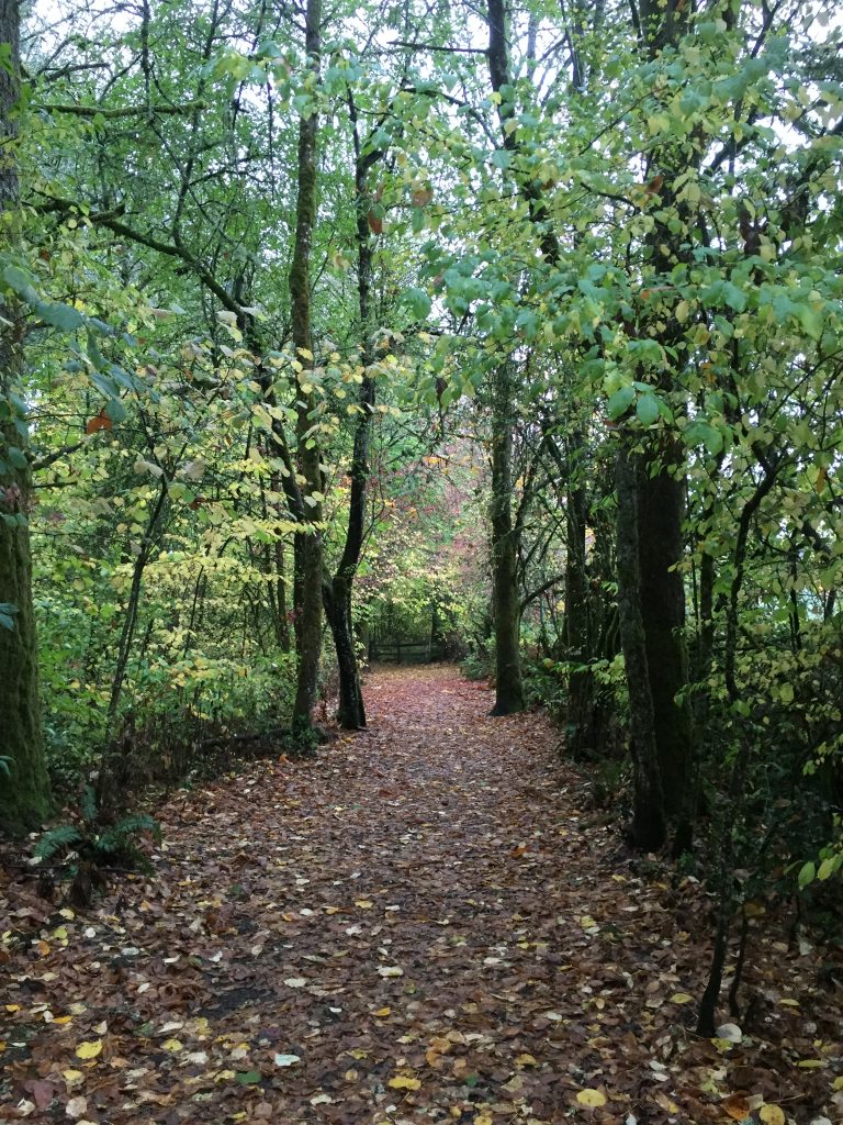
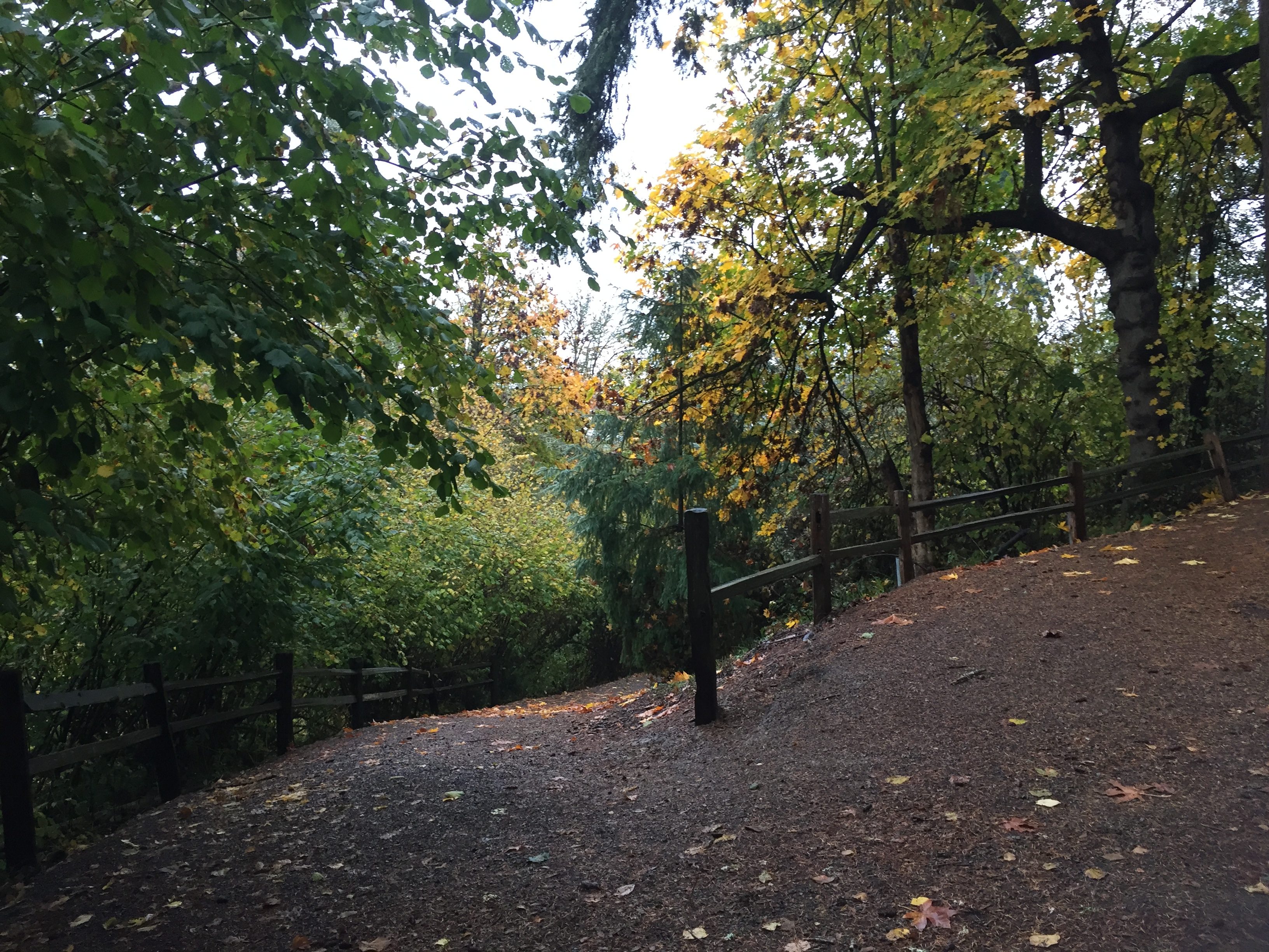
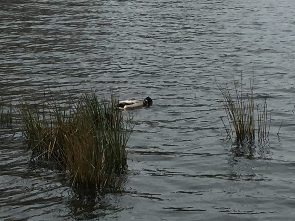
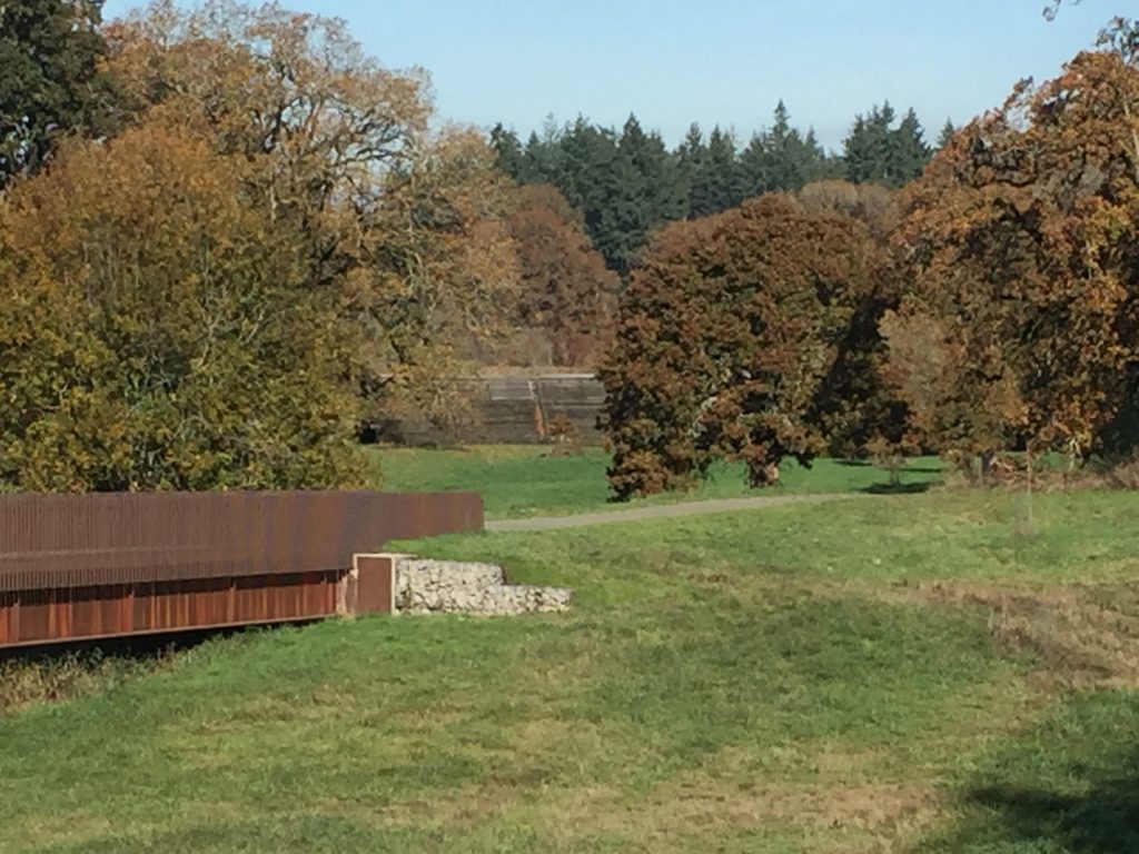
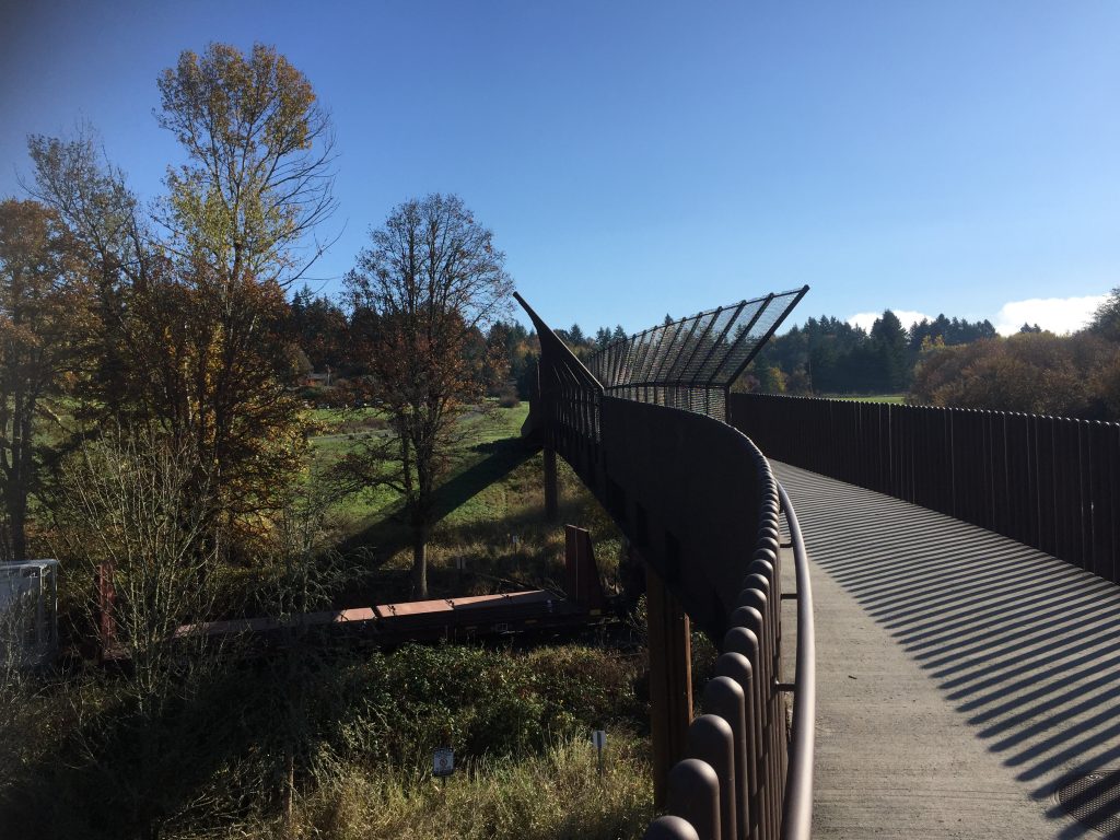
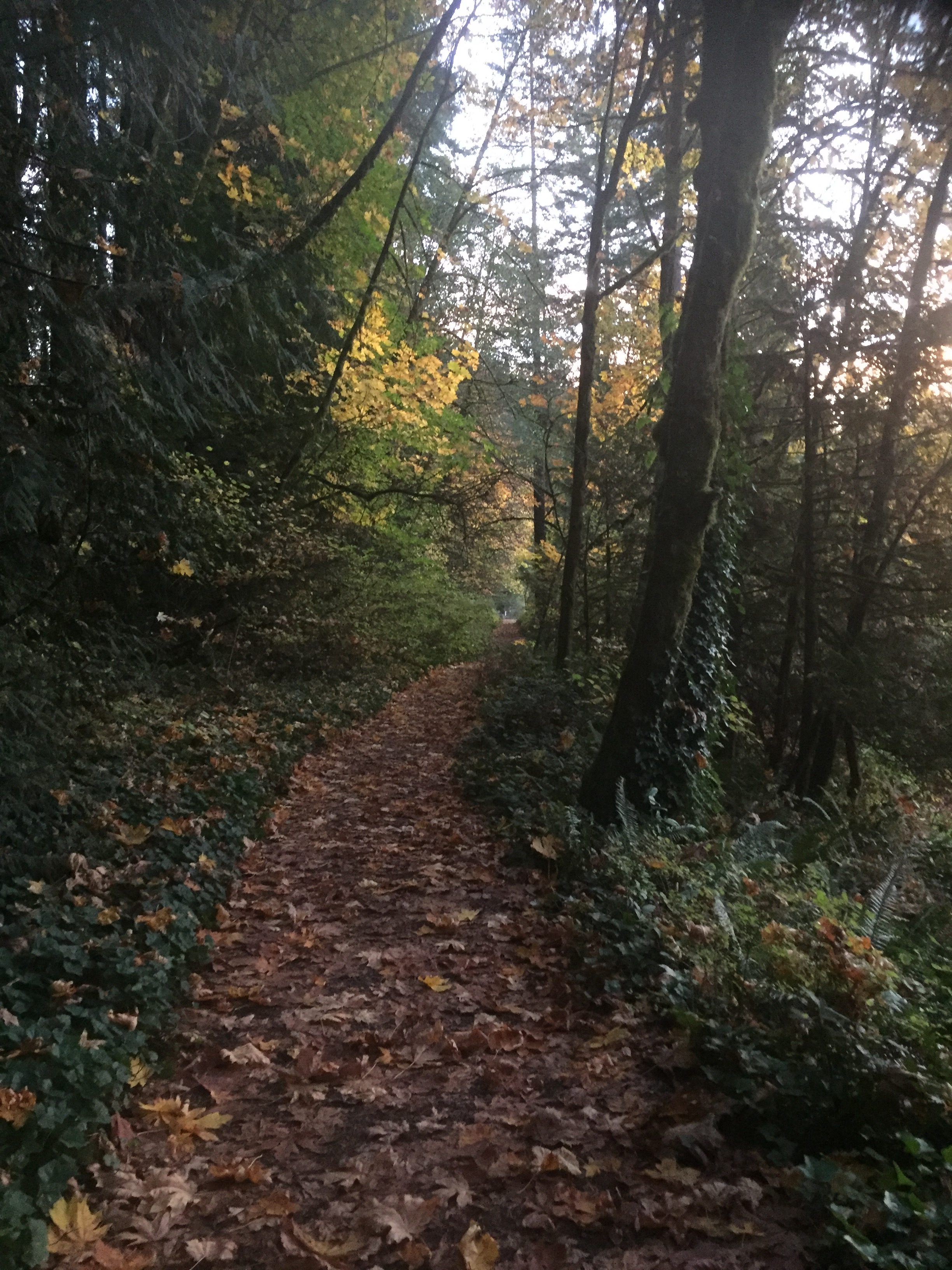
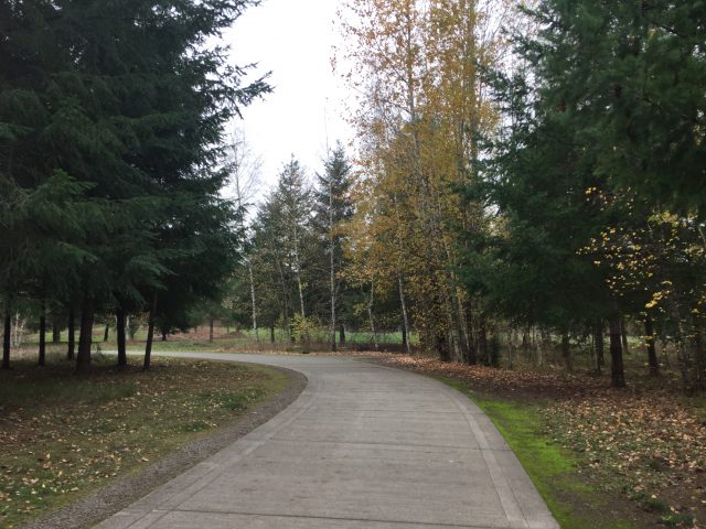
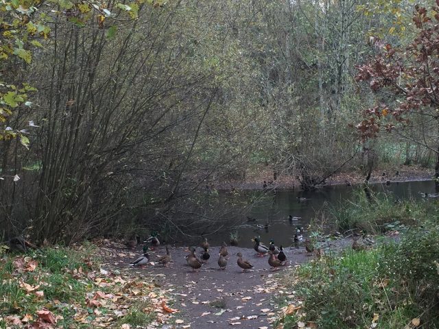
La Center’s Heritage Trail provides an attractive natural wetland area in the midst of residential development.La Center’s Heritage TrailHeritage Trail east of Aspen Ave is a wide paved path, level and easy to walk or ride.The wetland area is great to walk alongside, but do not cross the fence. Let nature be nature.The Heritage Trail east of Aspen Ave follows along side a stormwater management wetland area.Heritage Trail crossing Aspen Ave.The Heritage Trail west of Aspen is a wide dirt and gravel path through forest.Toward the west end of La Center’s Heritage Trail.
There are multiple access points for the trail, and it can make for a nice leisurely walk. Please note that at the west end the trail ends at private property. Please respect the landowner by not crossing beyond the No Trespassing signs. This not a through public trail.
If you are walking east on the Heritage Trail, when you reach E Heritage Loop, turn right, then left onto E 14th Circle. At the end of E 14th Circle you can continue onto the path that leads to the Brezee Creek Trail.
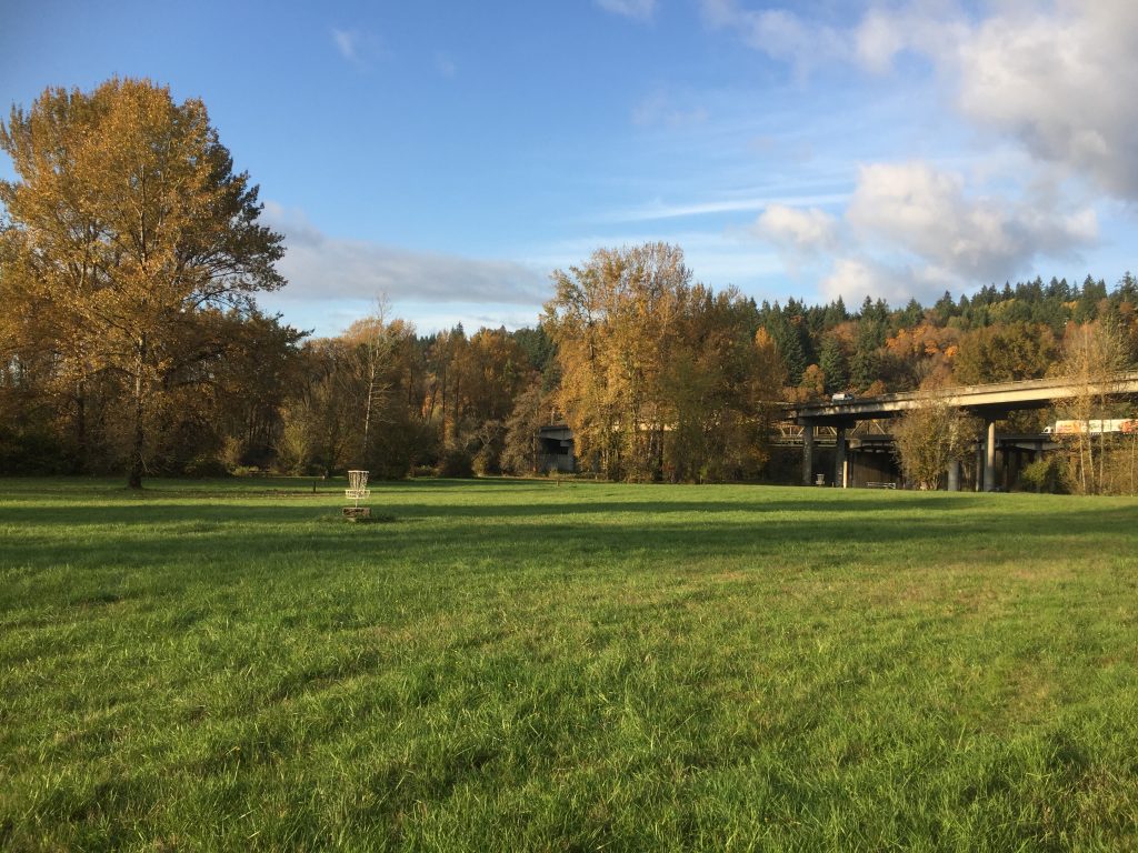
Located in La Center, connecting from E. 4th St near the Middle School going a little over a half mile up the creek valley to E. 14th Circle for a 190ft elevation gain.
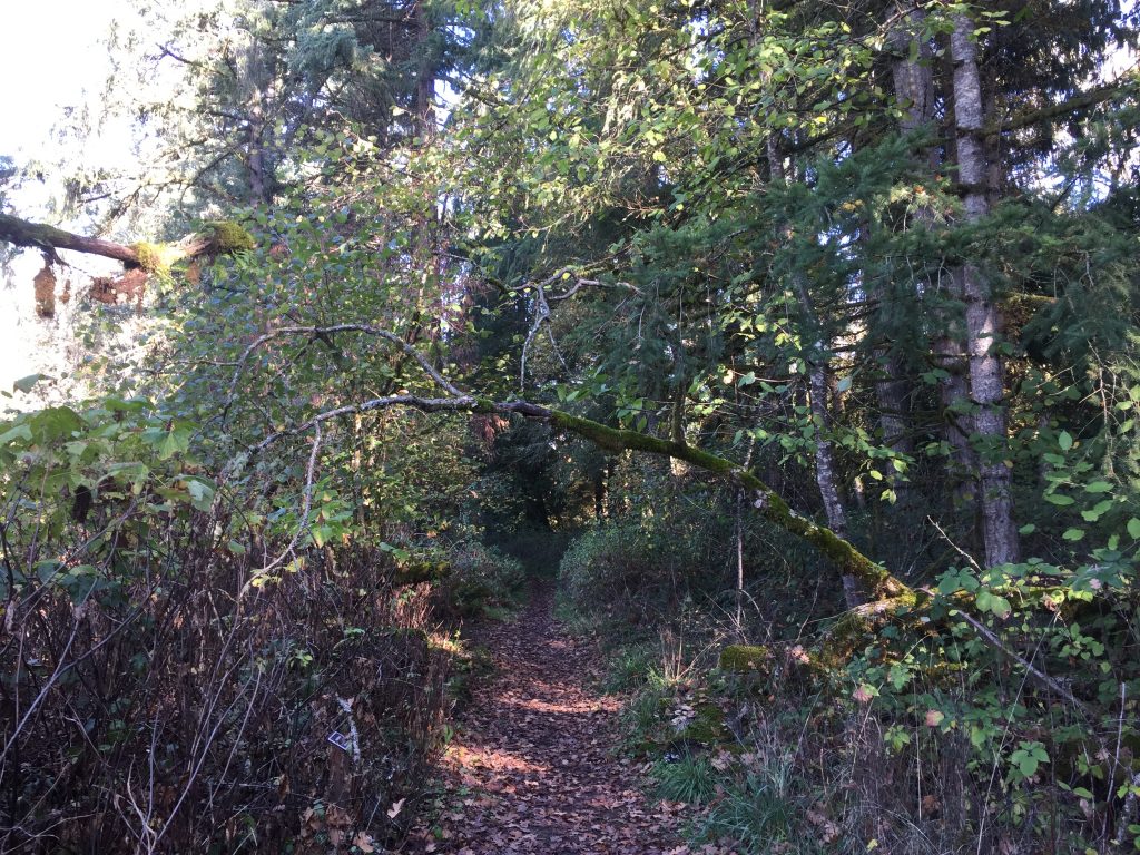
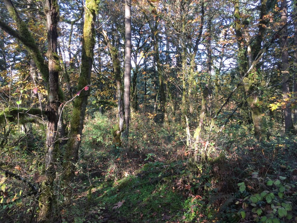
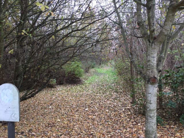
Brezee Creek Trail in La Center is a wide gravel trail. Easy to walk, but steep in places.
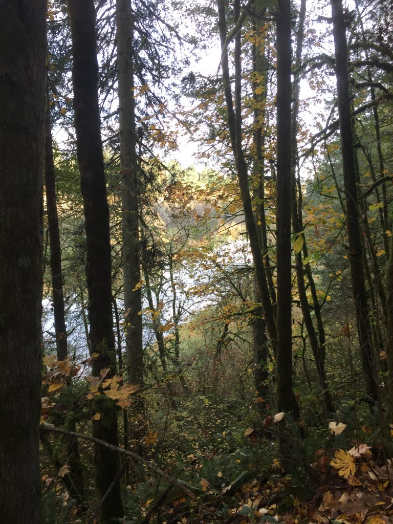
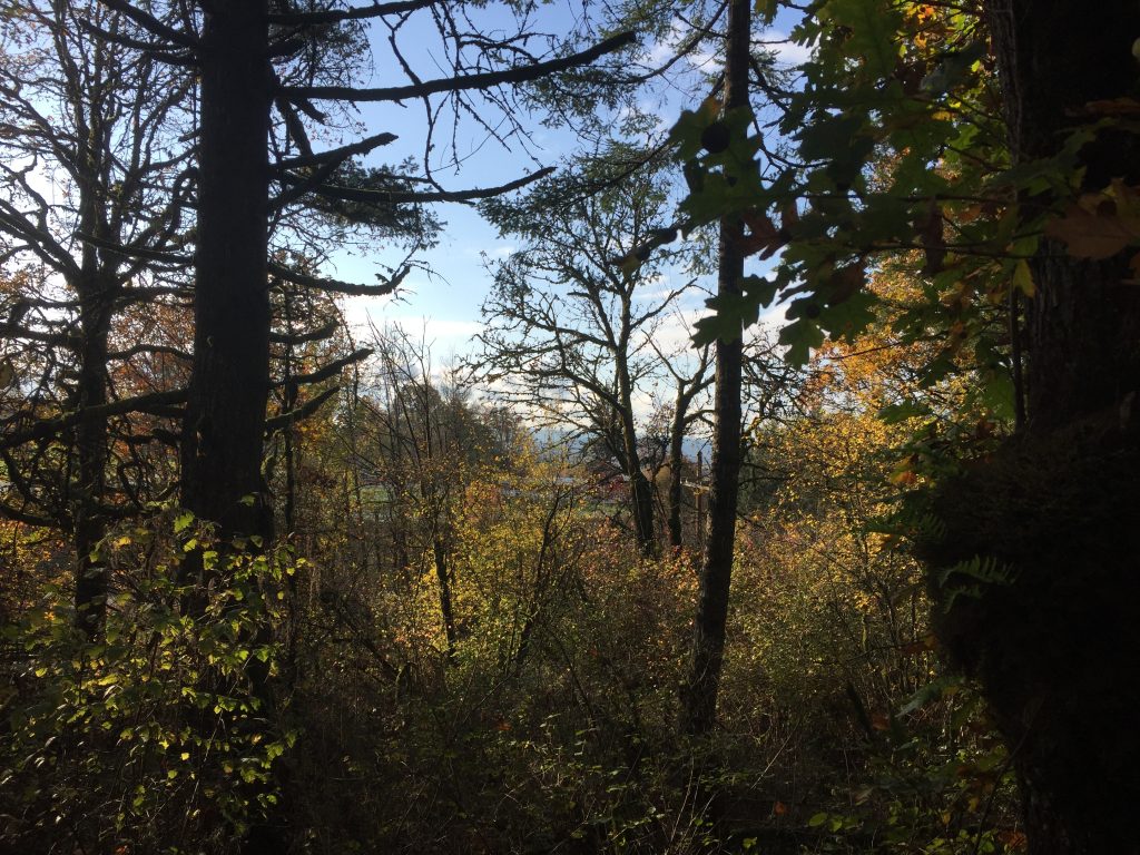
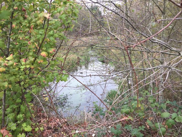
Scenery along the Brezee Creek Trail.
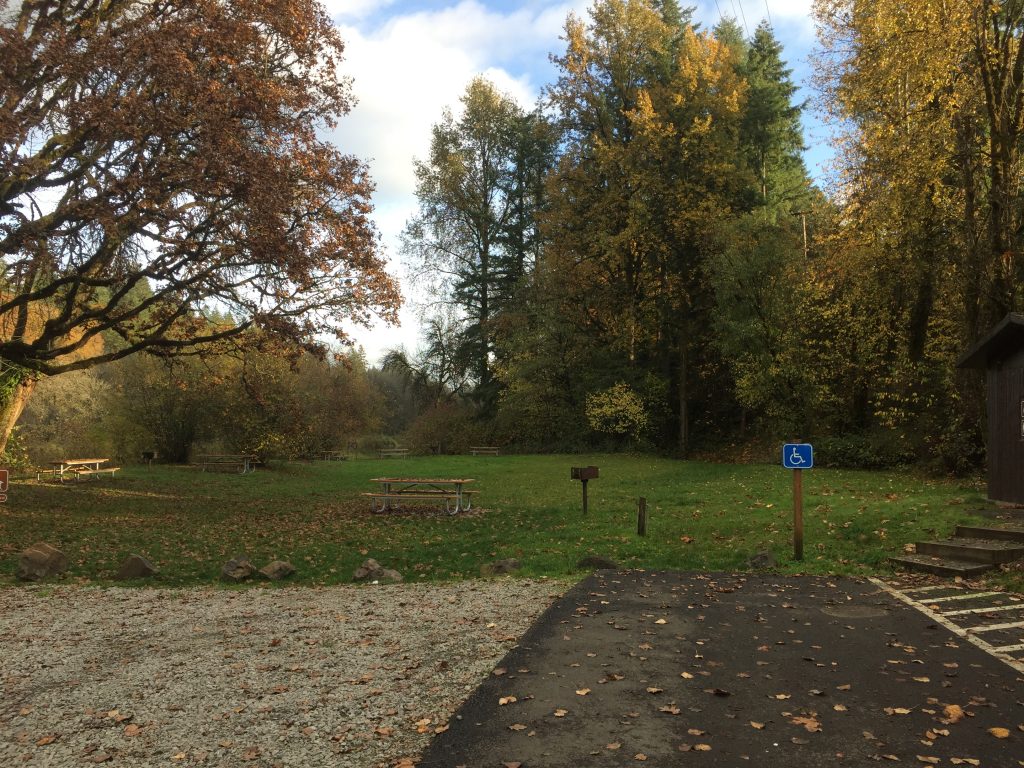
A picnic table and many benches dot the Brezee Creek Trail.
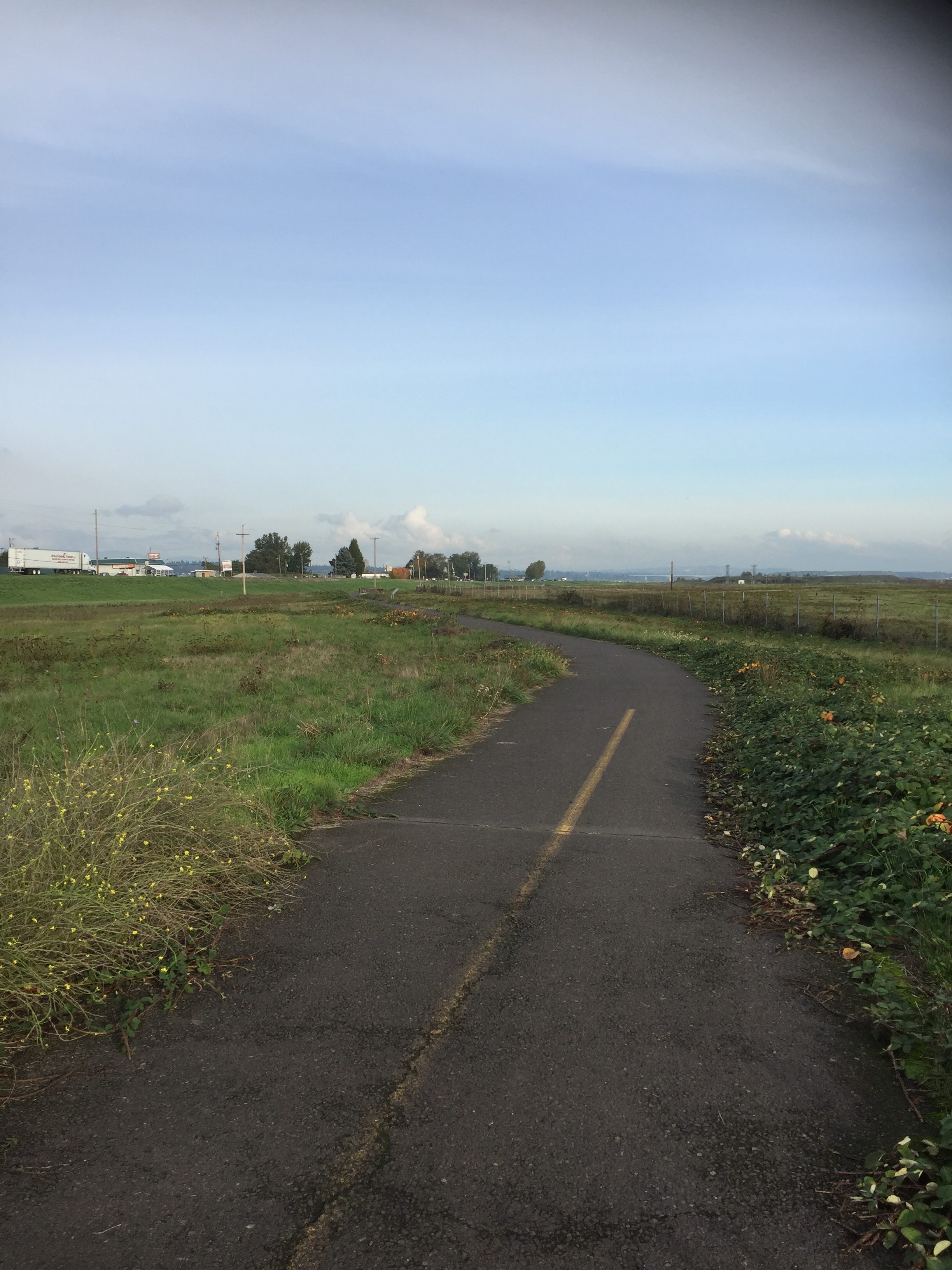
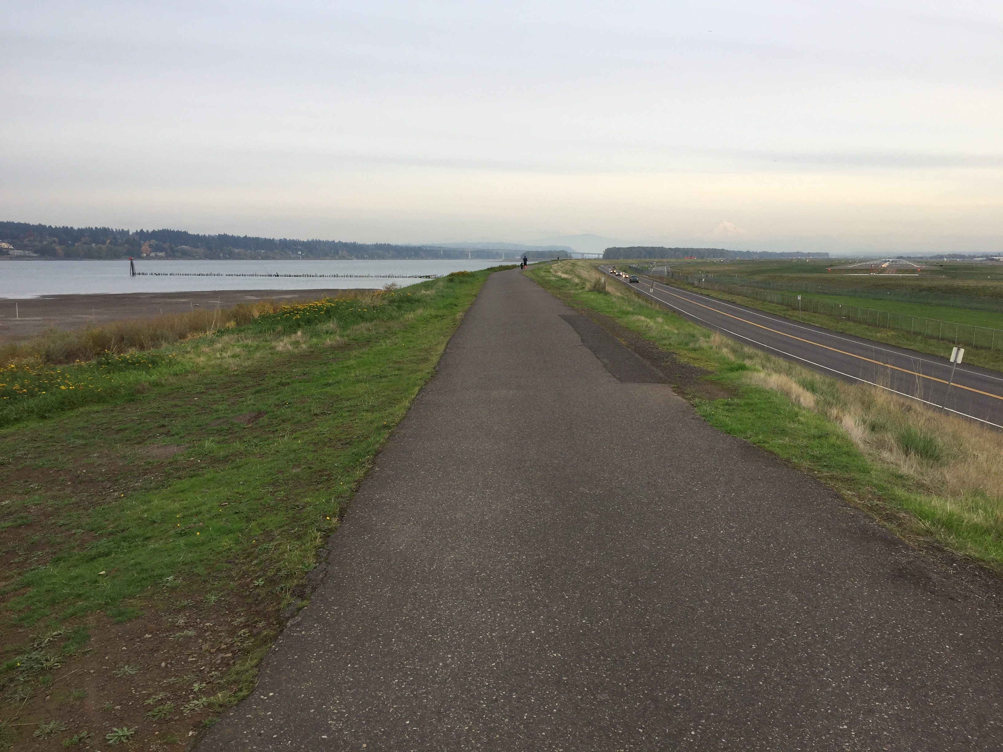
Portland’s Marine Drive has a bike path along several miles, but there is also a trail that can be walked that lies between the Marine Drive bike path and the river’s edge.
Bike path just east of 33rd Ave.
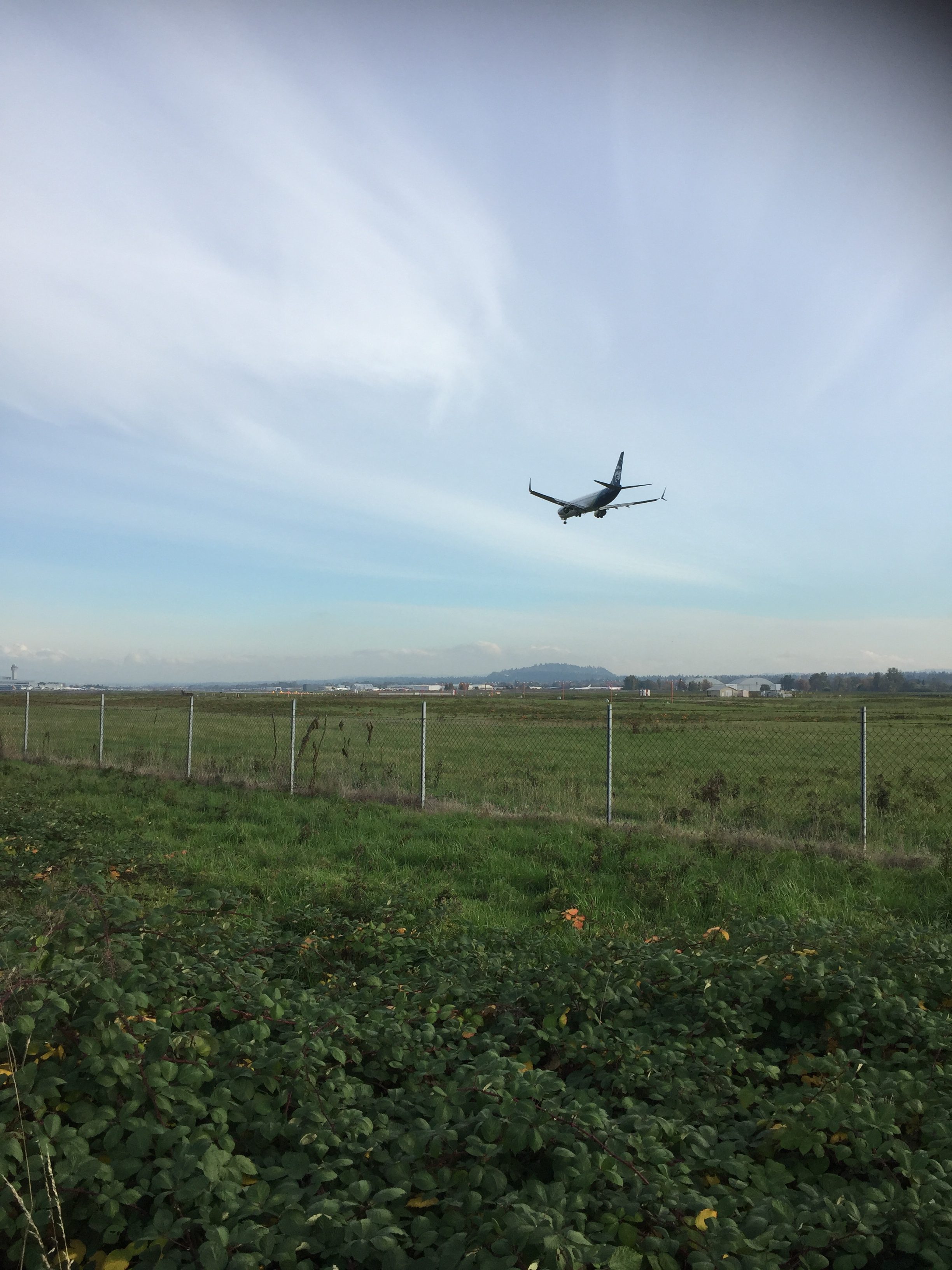
The bike path starts near the west end of the Portland Airport.
Don’t be surprised if you look through the fence around the airport and see coyotes.
There is space for several cars to park at the west end of the Marine Drive bike path by 33rd Ave. An underpass under 33rd Ave makes it easy to park here and either walk or bike to the east.
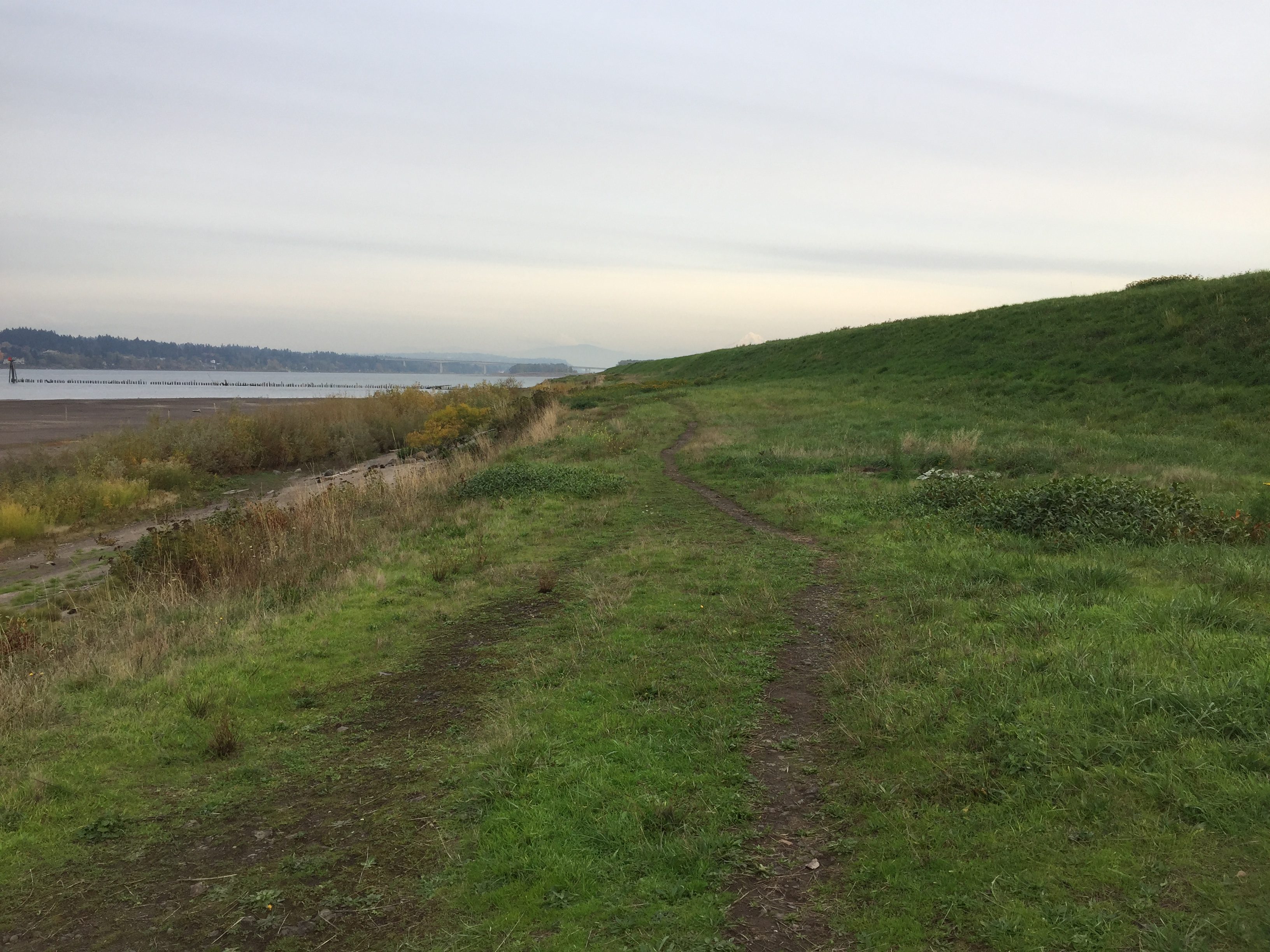
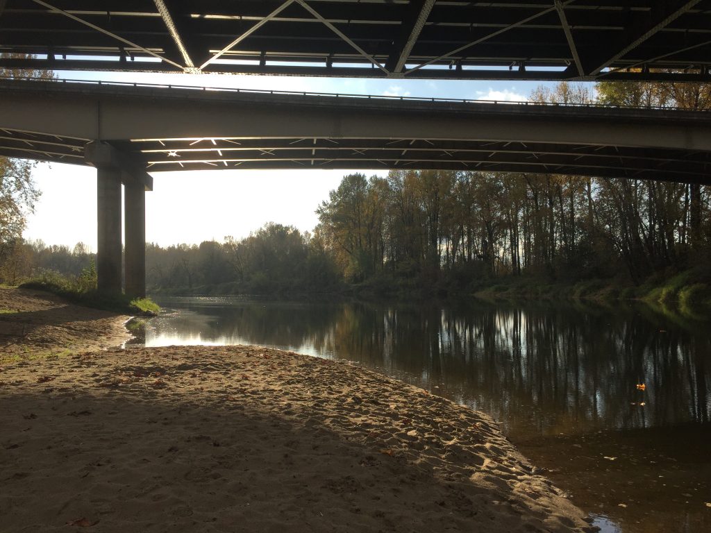
Broughton Park has a large parking lot, with a fee for parking. From here, you have options for walking to the east. Follow the paved bike path, the dirt trail, or the sandy beach (depending on water level).
The dirt trail can be followed about a mile and a quarter to the east. The paved bike path goes about 4 miles to where it then connects with bike paths along I-205 going south and north crossing the Columbia River.
An interesting bike ride is to start at 33rd, follow the bike path east, then cross the Columbia River and turn around when you reach the neighborhood streets in Vancouver. This makes for a nearly 16 mile round trip on a separated paved bike path that only requires 2 crossings of Marine Drive in each direction, and no other street crossings.
Starting on the Washington side of the river, there is space for a few cars to park at the end of SE 23rd St. From there, follow the I-205 Multi-Use Path across the Columbia River. You can choose to take the path along Marine Drive, or south along I-205.
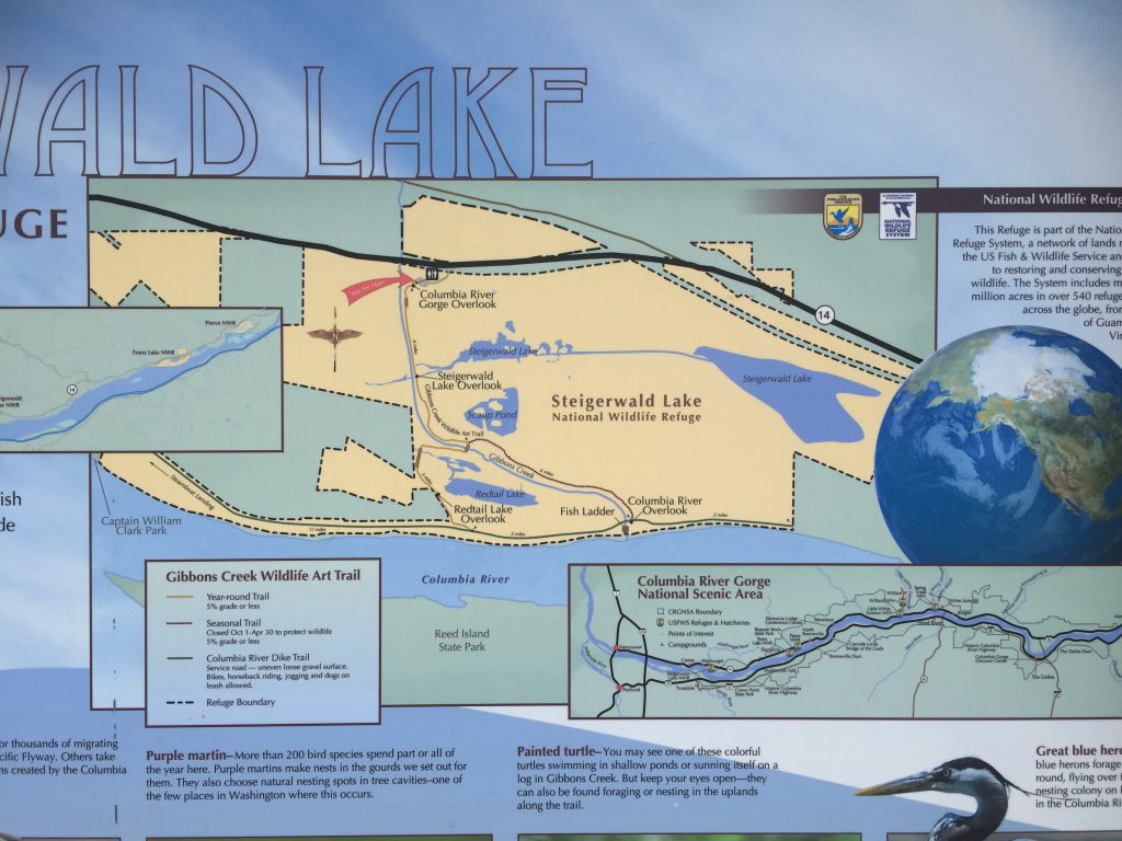
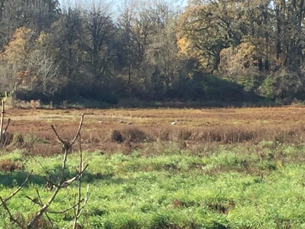
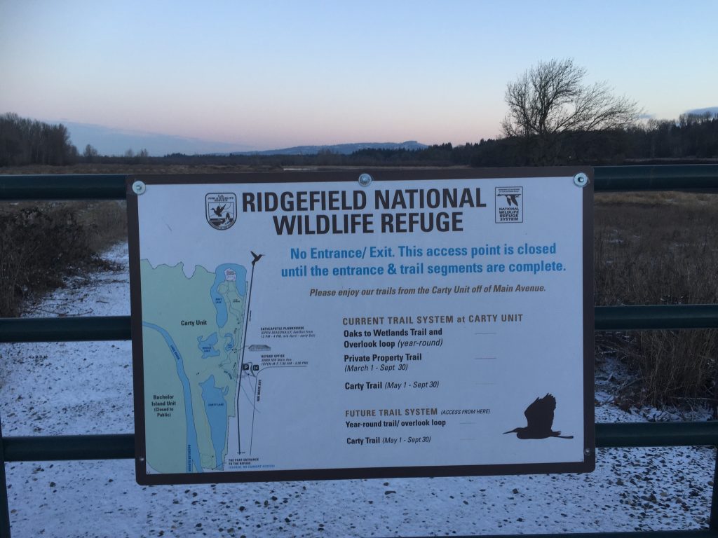
Note that the refuge is managed for the benefit of the wildlife, so access is limited. There are three trails for viewing the refuge. The Gibbons Creek Art Trail which connects the parking area with the dike (1.1 mile) is open year round. The seasonal spur trail is only open from May 1 to September 30. To walk down the Gibbons Creek trail, out the spur trail, along the dike trail, then returning on Gibbons Creek trail is a 2.8 mile walk. The dike trail is open year round and connects to the west to reach Captain William Clark Park and Steamboat Landing Park (3.7 miles).
For the latest updates on work being done, and to check if trails or access is closed for work, see https://www.refuge2020.info/
Note: Horse riding, bicycles and leashed pets are only allowed on the Columbia River Dike trail and not on other trails in the refuge.
Map at the entrance to Steigerwald Lake National Wildlife Refuge
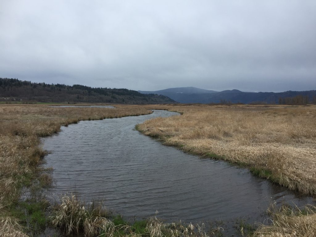
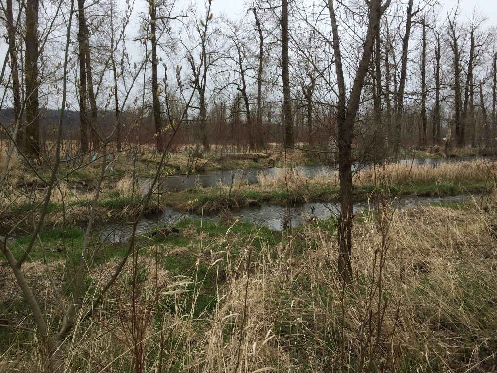
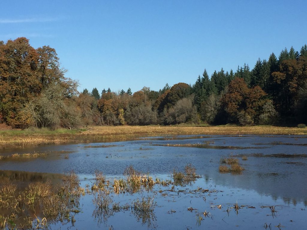
Steigerwald Lake National Wildlife Refuge
Steigerwald Lake National Wildlife Refuge
Steigerwald Lake National Wildlife Refuge
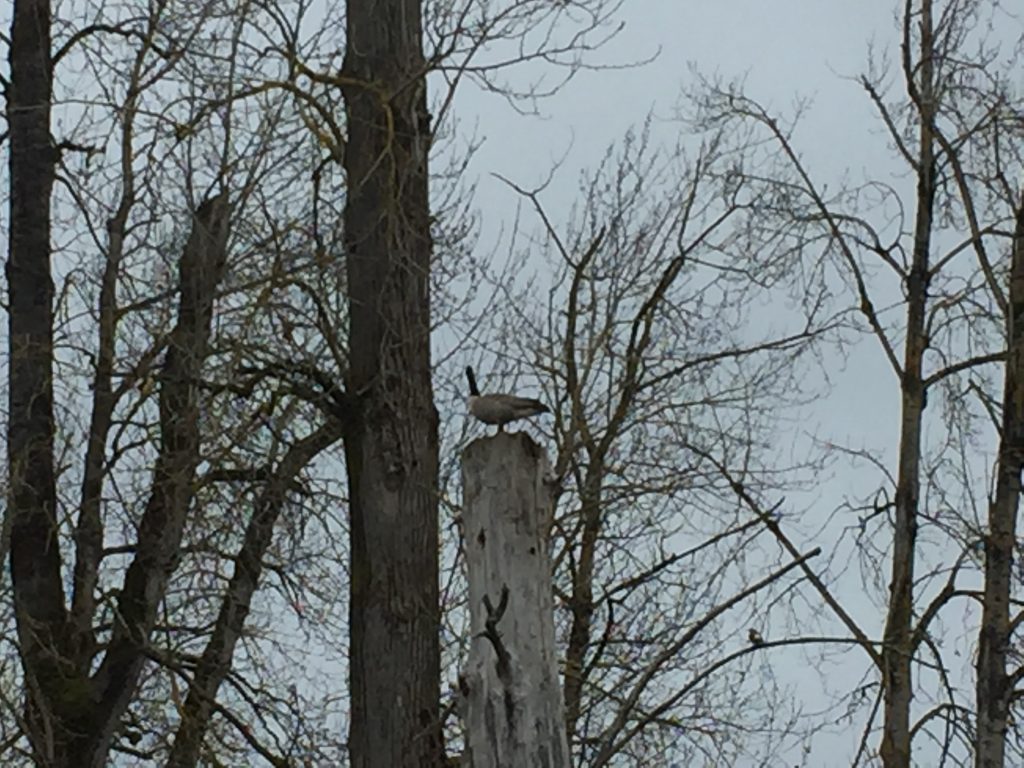
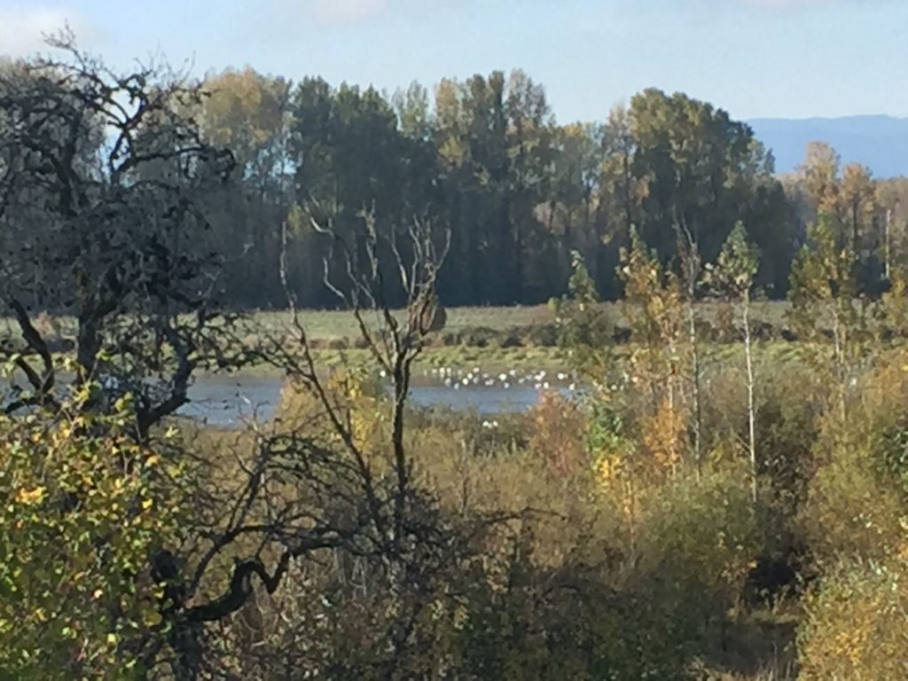
Goose found a perch at Steigerwald Lake National Wildlife Refuge
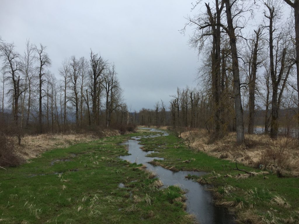
Steigerwald Lake National Wildlife Refuge
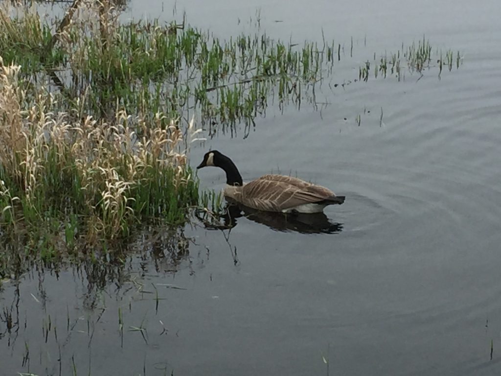
A resident of Steigerwald Lake National Wildlife Refuge
A resident of Steigerwald Lake National Wildlife Refuge
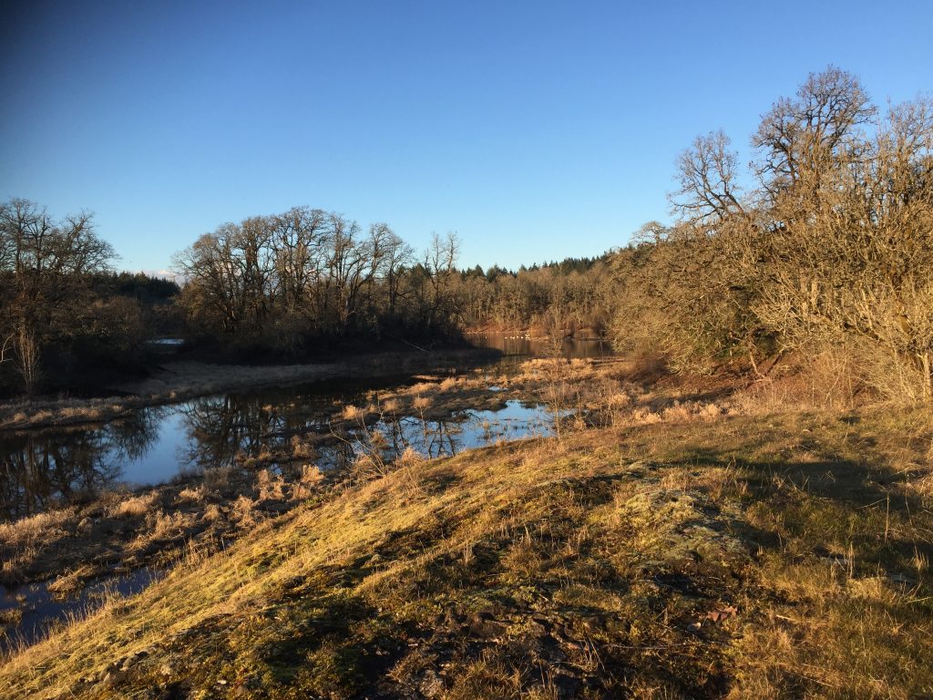
The Ridgefield National Wildlife Refuge Carty Unit located just north of downtown Ridgefield includes several nice hiking trails. Keep in mind that the refuge is primarily managed for the benefit of wildlife, so some areas are closed to access all year, and other areas are closed during certain seasons.
The Cathlapotle Plankhouse was built as a reconstruction of a traditional native structure and provides a great educational resource. Trails north of the plankhouse wind through forest and riparian areas. This is a popular bird watching area, and for good reason. Decades ago I used to walk out this trail to sit and watch the beavers as they worked in the large wetland area. That wetland has now largely transformed into grassland and the beavers have moved on.
There are about 2 miles of trails in the area north of the Plankhouse which wind through the forest and around Lancaster lake. North of the refuge is land managed for resource conservation, so some trails are closed to access at that point. Be aware also that there is Poison Oak in the area, and some trails may be closed to manage vegetation.
Within the next couple years, a trail connecting the Carty Unit entrance to downtown Ridgefield will be completed, and a connecting trail through the unit, around the west side of Carty Lake connecting to the Port of Ridgefield will be completed. This will make for a nice approximately 2 mile loop trail that can be walked from Ridgefield through the refuge.
For the latest updates on work being done, and to check if trails or access is closed for work, see https://www.refuge2020.info/
Ridgefield National Wildlife Refuge Carty Unit
Bridge to Ridgefield National Wildlife Refuge Carty Unit
Ridgefield National Wildlife Refuge Carty Unit
Big old Oak tree at Ridgefield National Wildlife Refuge Carty Unit
Ridgefield National Wildlife Refuge Carty Unit
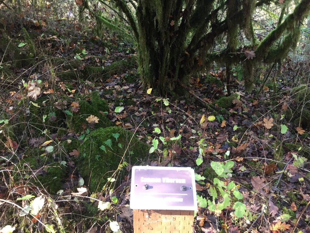
Ridgefield National Wildlife Refuge Carty Unit trails include markers to identify plants and trees.
Ridgefield National Wildlife Refuge Carty Unit
Ridgefield National Wildlife Refuge Carty Unit
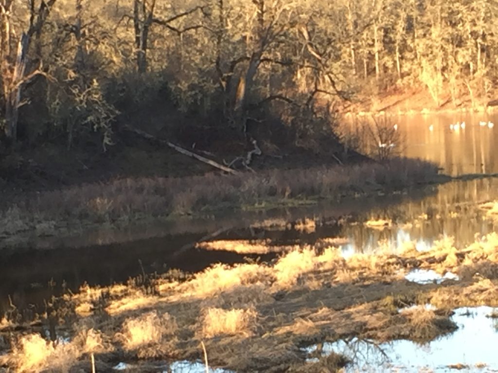
Ridgefield Wildlife Refuge Carty Unit – swans
Ridgefield Wildlife Refuge Carty Unit – swans in the distance
Ridgefield National Wildlife Refuge at the Port of Ridgefield
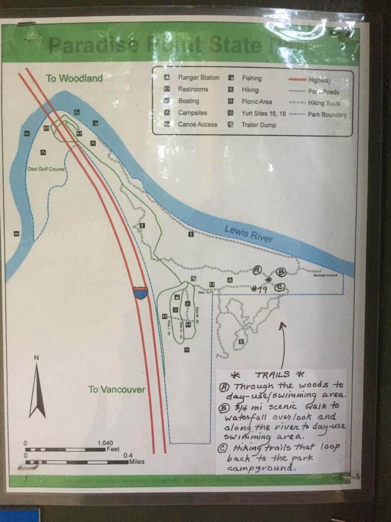
The park includes a camping area, and a popular swimming hole on the East Fork Lewis River. There are also a few trails to explore. One trail parallels the freeway, offering a good climb. A loop can be walked. If you start at the parking Day Use parking area, you can walk up the road a short distance to the trail on your right. Take that trail up a climb, over the hill, then down to cross the road, through the woods to the small waterfall. From there, go down to the river and follow the river trail back to the Day Use area. You can extend the loop by following trails up to the campground area, and out into the neighboring Clark County Legacy Lands (the neighboring fields).
The state park is bordered by land owned by Clark County as part of their Legacy Lands program. Some of this land is across the river from the park and more is up river from the park.
Trails in the park are mapped on trails.com. The map embedded below shows an approximation of the location of trails within the park.
East Fork Lewis River, just upriver from Paradise Point State Park.
Paradise Point State Park Disc Golf course
Paradise Point State Park, East Fork Lewis River under I-5.
Paradise Point State Park, going east. Cross this picnic area to a trail along the East Fork Lewis River.
East Fork Lewis River from the road into Paradise Point State Park.
Paradise Point State Park, trail parallel to I-5.
Paradise Point State Park, trail parallel to I-5.
Paradise Point State Park, view from trail parallel to I-5.
Clark County Legacy Lands next to Paradise Point State Park
A trail in Paradise Point State Park
Map of trails posted at Paradise Point State Park campground.
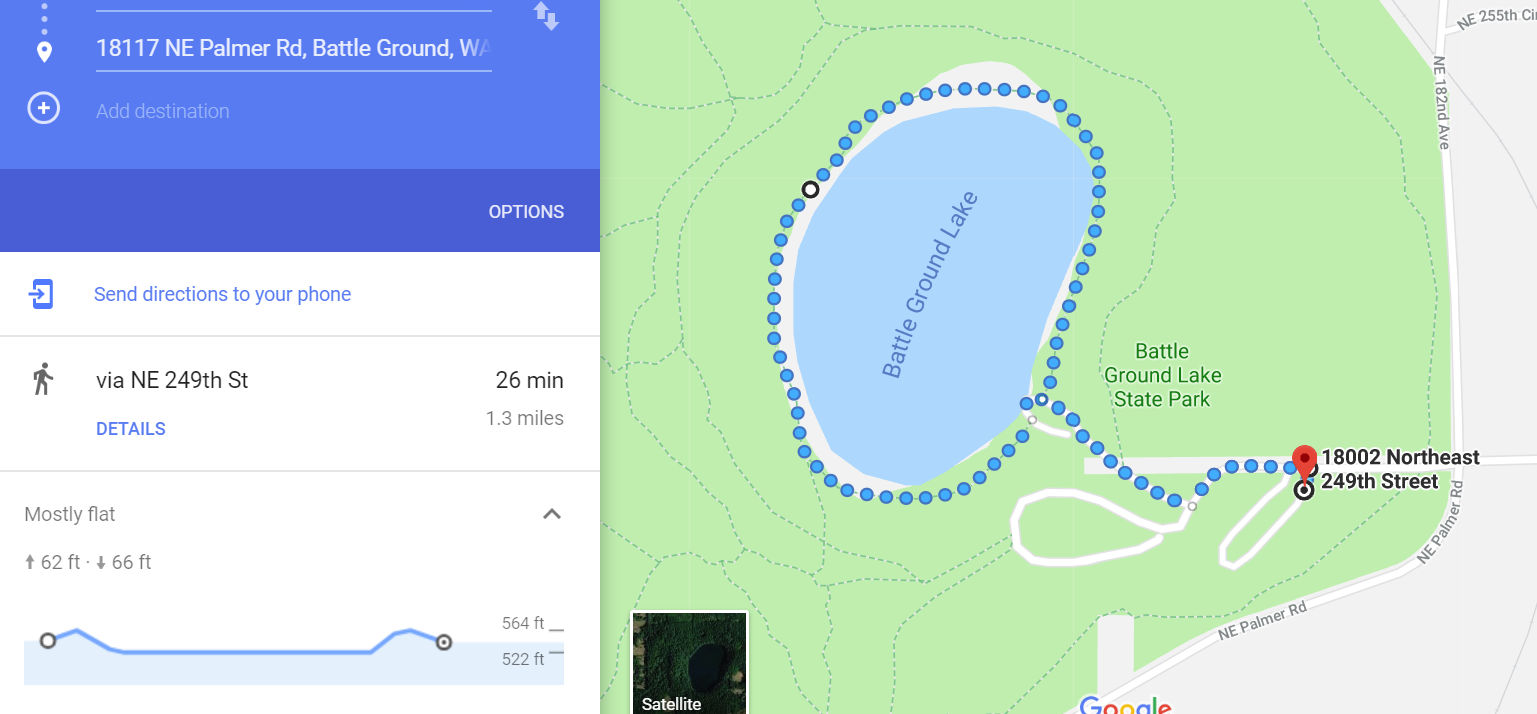
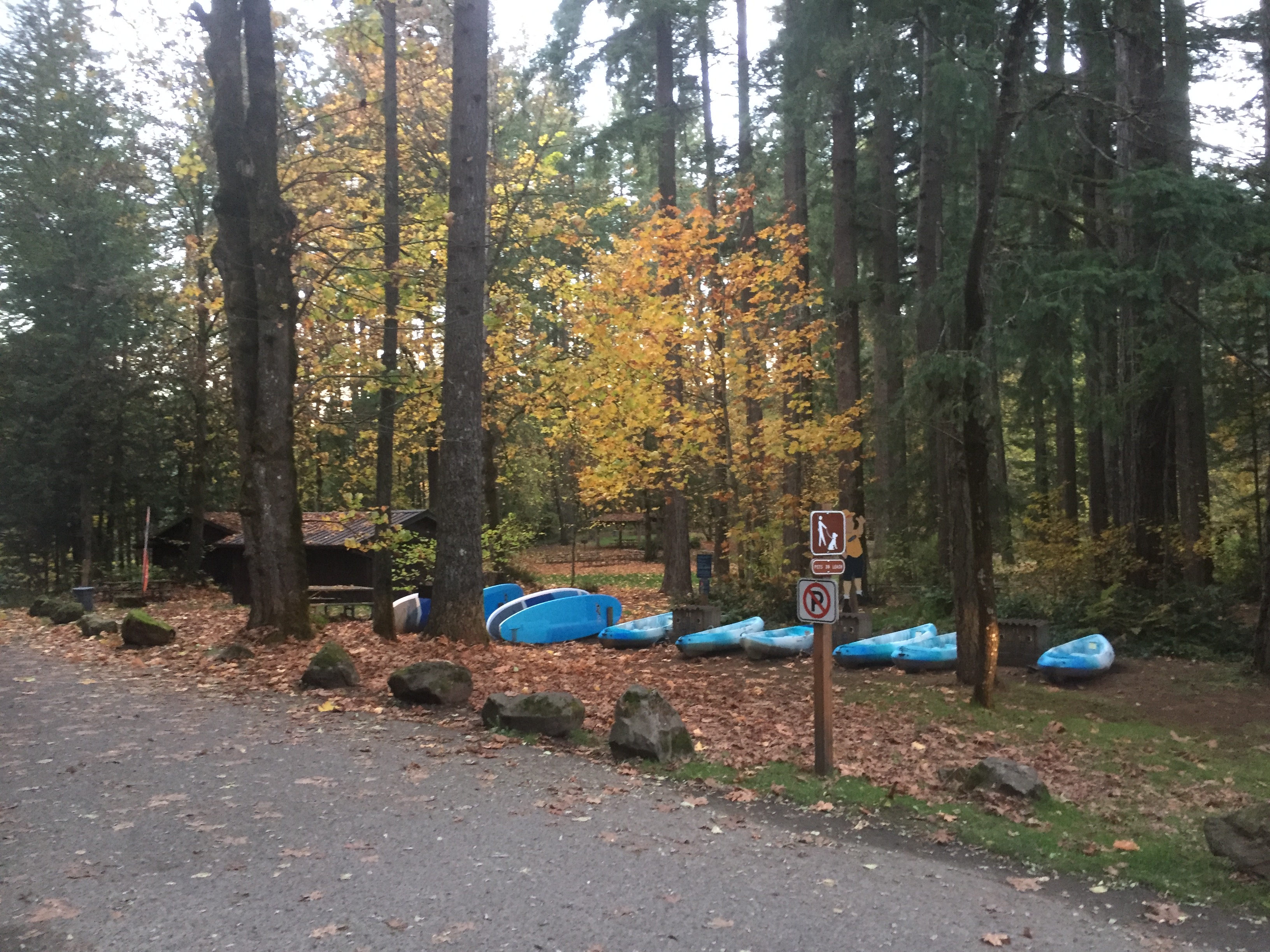
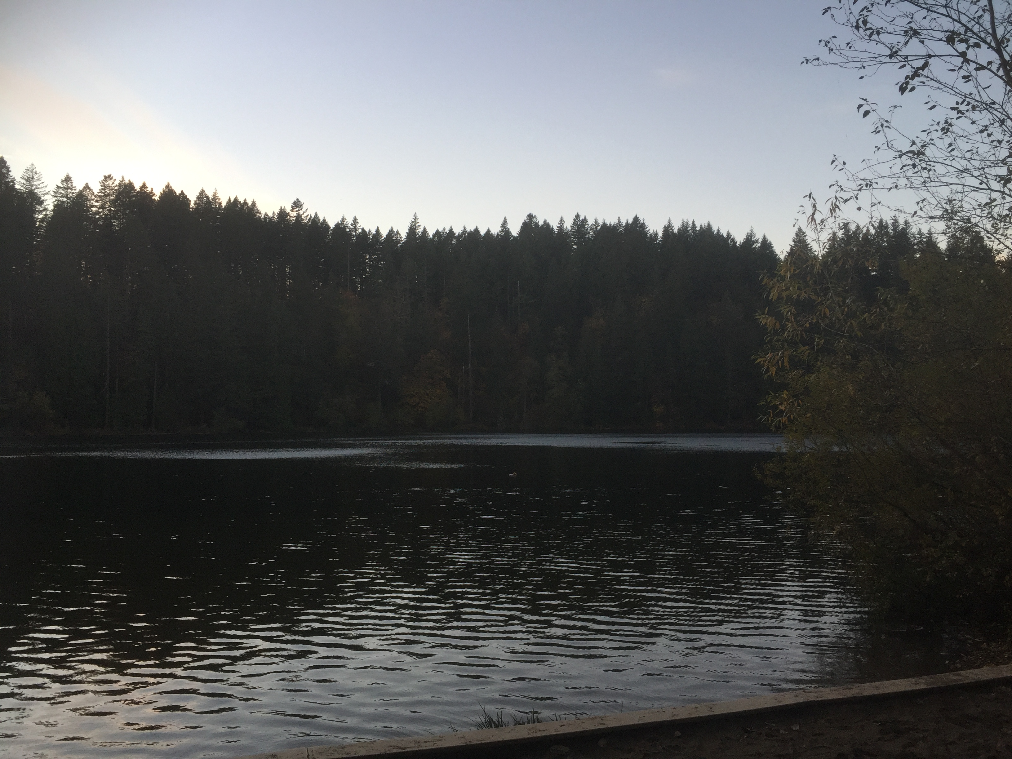
This is one of my favorite places to go for a good walk. Several trails loop around the park, allowing you to not only make a loop hike, but to loop around the Lake three times without walking the same trails twice.
Most of the outermost trails are open to horses and mountain bikes, and are also easy trails for walking. The trails closest to the lake are closed to horses and bikes, but can also be difficult to maneuver if you have any trouble with rough terrain.
The State Park charges a day use fee or Discover Pass.
The smallest loop around the lake will take you about a mile and a quarter (including the walk from where you park), and the largest loop is about 2-1/2 miles. The park trails are pretty well mapped in Google Maps.
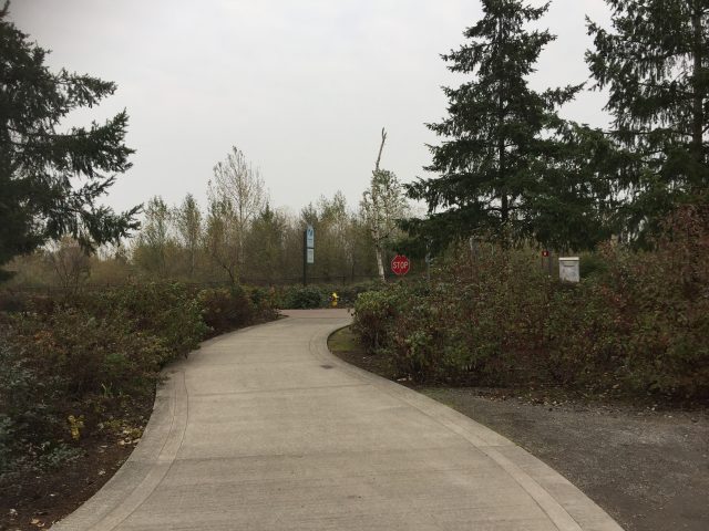
In addition to trails around the lake, there is the Chelatchie Rail Trail, a 1 mile paved path following the railroad to the east of the park.
This short loop trail is a flat paved walk of just over 1 mile for the full loop. Note that when crossing Andresen Road, you need to either cross at the marked cross walk near the trailhead, or walk a half block north to 18th St and cross at the lighted intersection.
There are three places to park for this trail.
The very small gravel lot just off of Andresen Rd at the trailhead. This lot can only be entered when driving south on Andresen Rd, and when you leave the lot you can only turn south onto Andresen Rd.
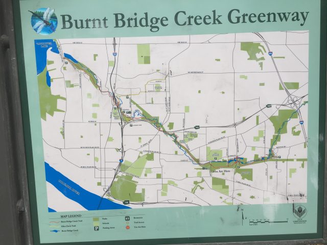
A third option, is to park at the Burnt Bridge Creek Trail on NE Devine Rd, and walk to the Discovery Loop Trail. This is about a half mile to the west, so walking from there, around the loop trail, and back is just over 2 miles.
Campen Creek Park and Hartwood Park connect to each other through the Campen creek gully. You can park at Hartwood Park on 49th Street, and walk the trail down a steep hill, through the gully and up to Campen Park and to 42nd Ct. Turn around and return to complete a 1 mile round trip. The return trip includes a steep climb.