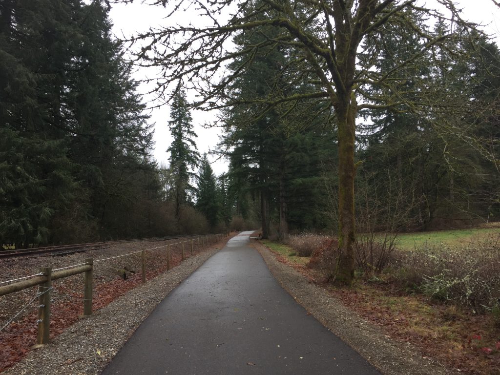
Lacamas Lake Regional Park includes nearly 13 miles of trails. There is a loop trail around Round Lake, and trails down Lacamas Creek. The trails here are pretty thoroughly mapped in Google Maps, and in the TrailForks App.
In addition to the trailhead at Round Lake (which often fills up), there are starting points at St. Thomas Aquinas Catholic Church at the Trailhead on 3rd Ave, at Woodburn Elementary, and at Lacamas Lake Kayaks.
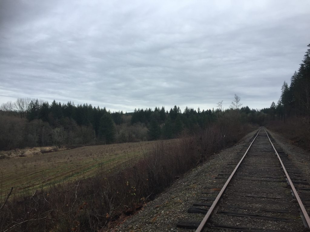
There has been a lot of new construction happening on the north side of the park, making the hike a little less peaceful, and potentially changing some of the trail connections.
Overall this is a great area to explore, with lots of new trails to find on each trip, and some interesting creek side views.
A short distance to the west on Lake Road is the Lacamas Lake Lodge, Lacamas Lake Park, boat launch and Heritage Trail trailhead.
A short trip down Everett Street takes you to Fallen Leaf Lake Park.
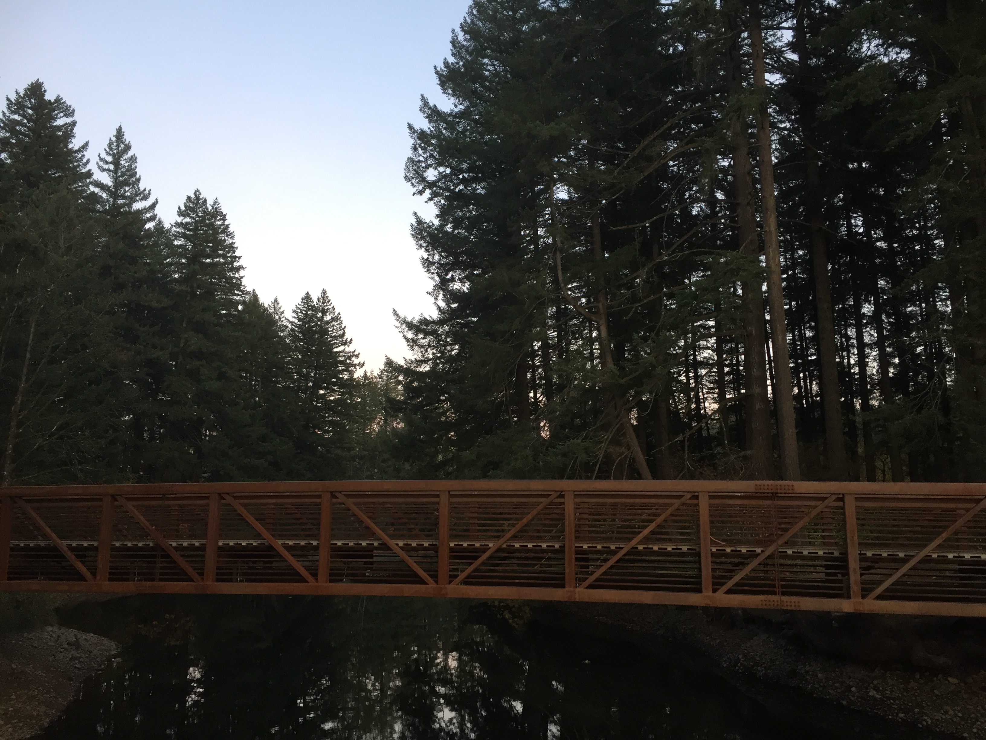
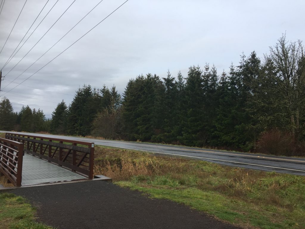
Foot bridge at Lacamas Lake Regional Park 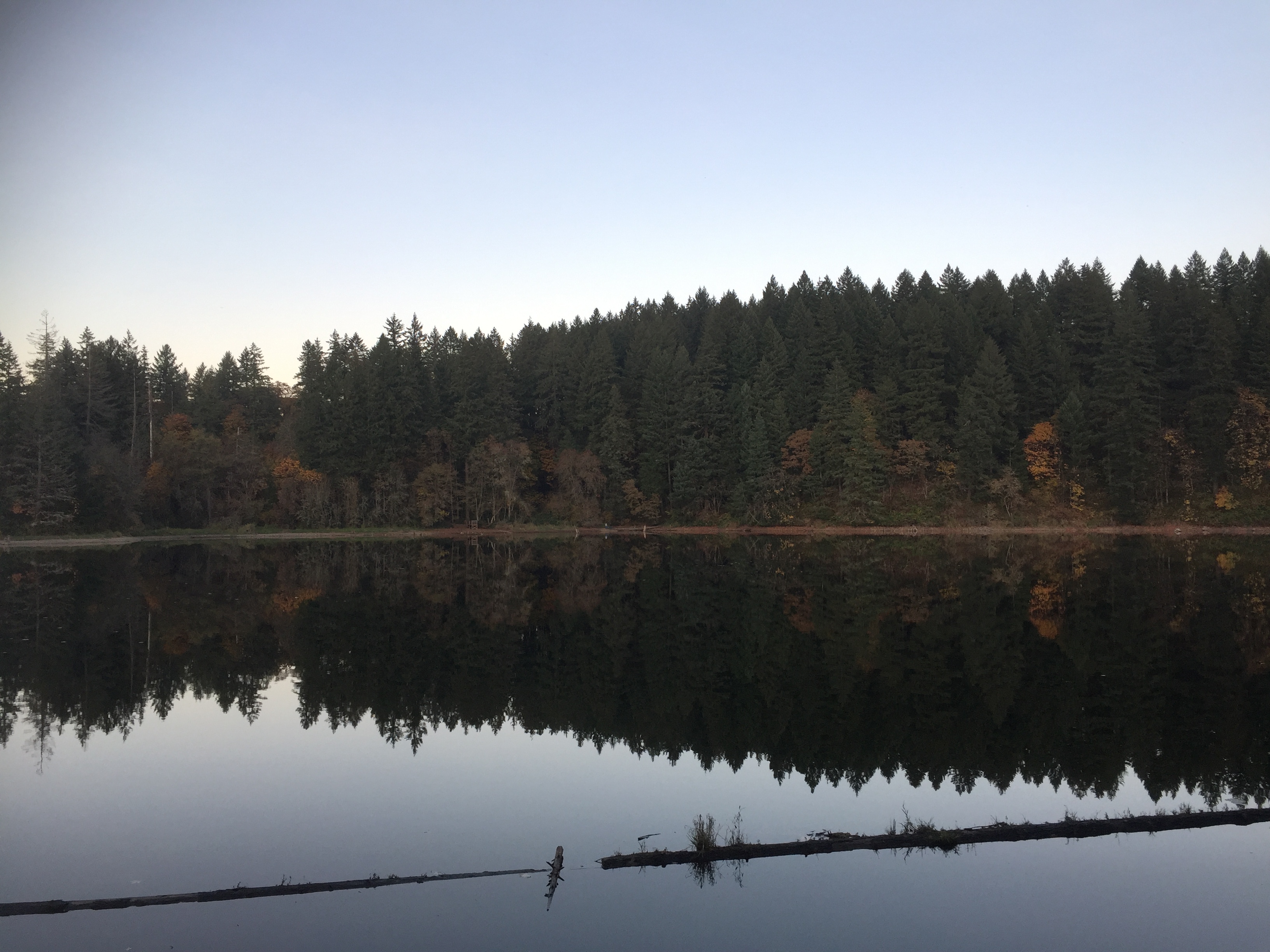
Round Lake at Lacamas Lake Regional Park 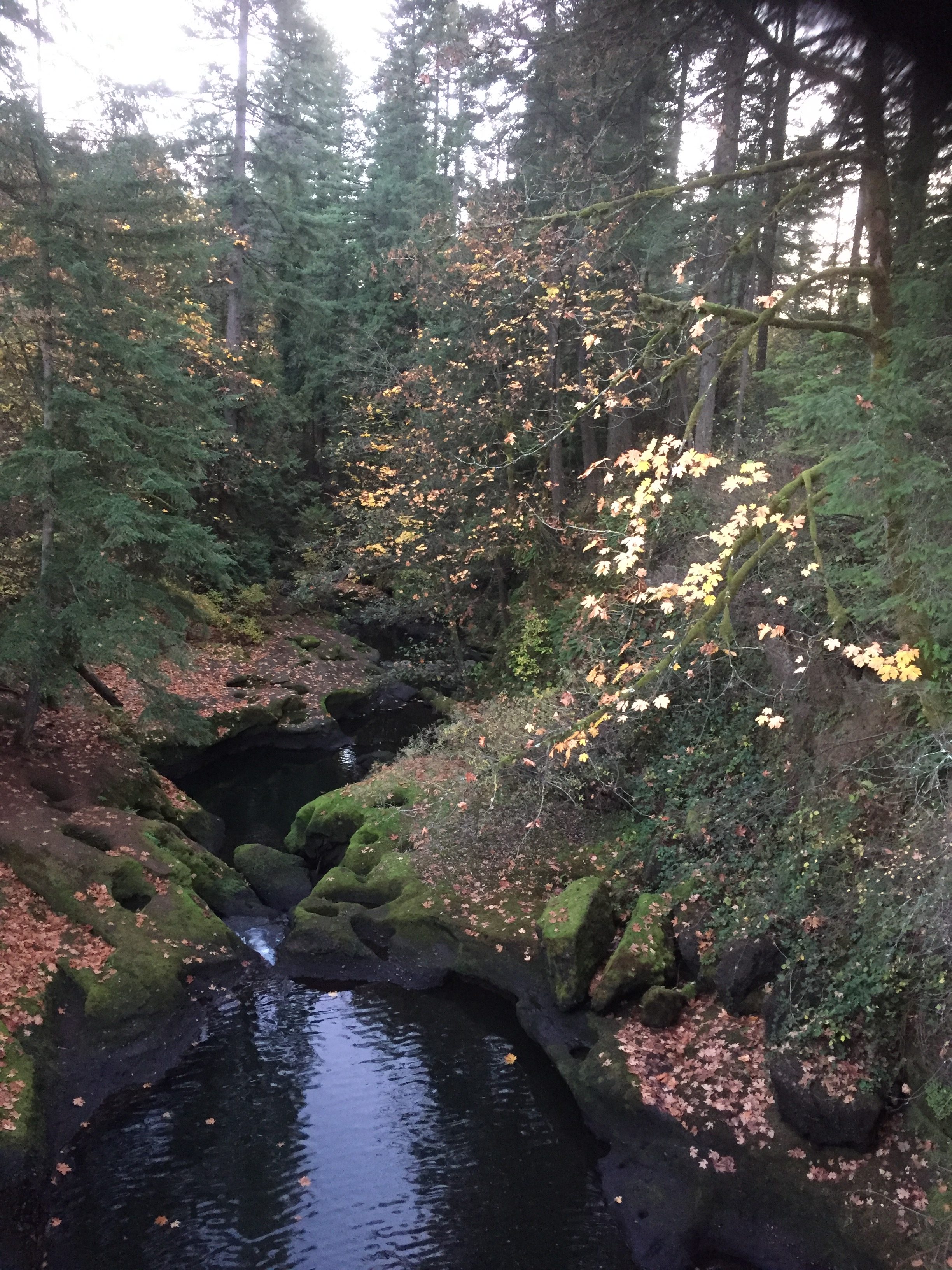
Lacamas Creek 
The Dam on Round Lake at Lacamas Creek 
The Dam on Round Lake at Lacamas Creek 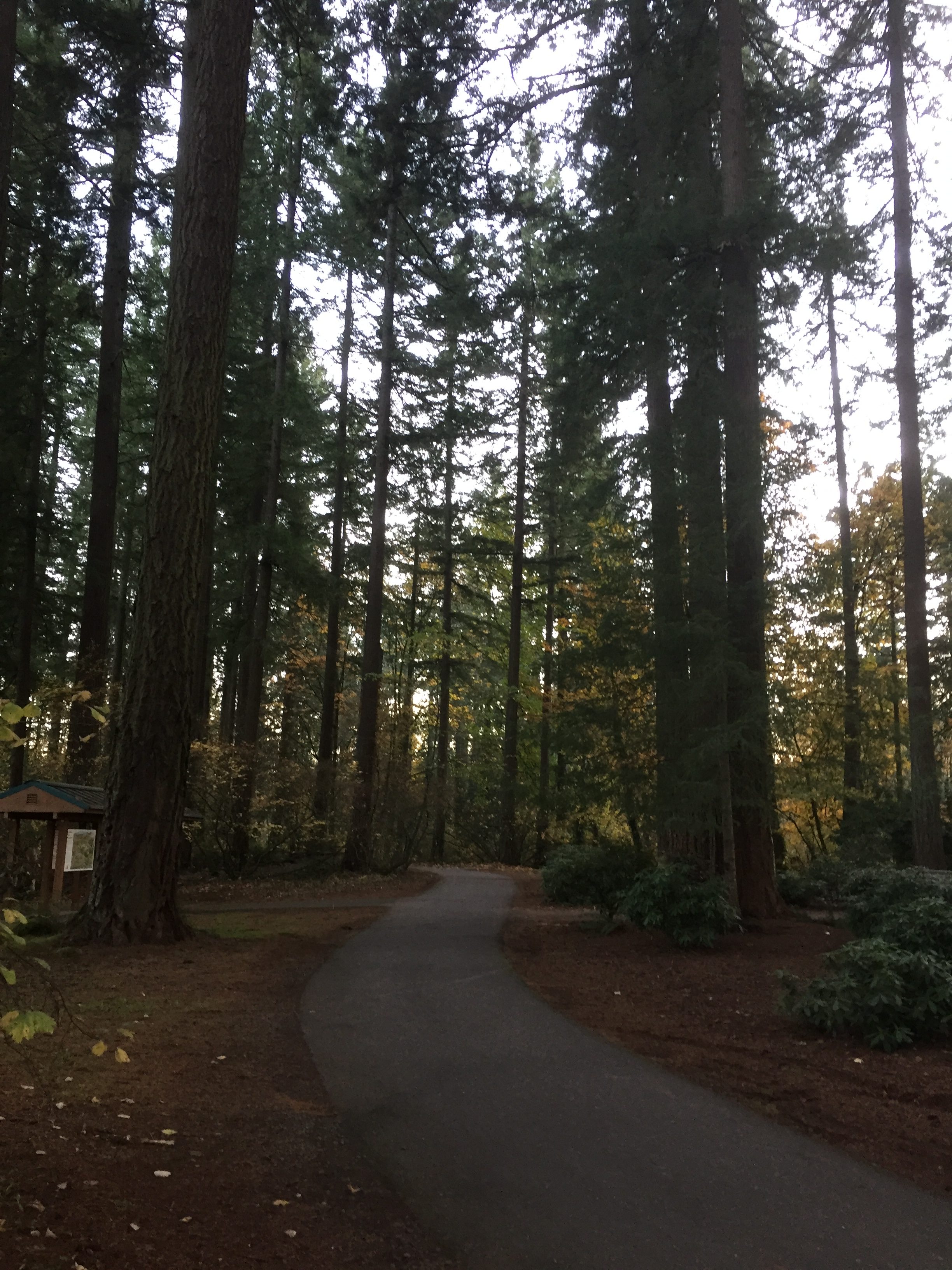
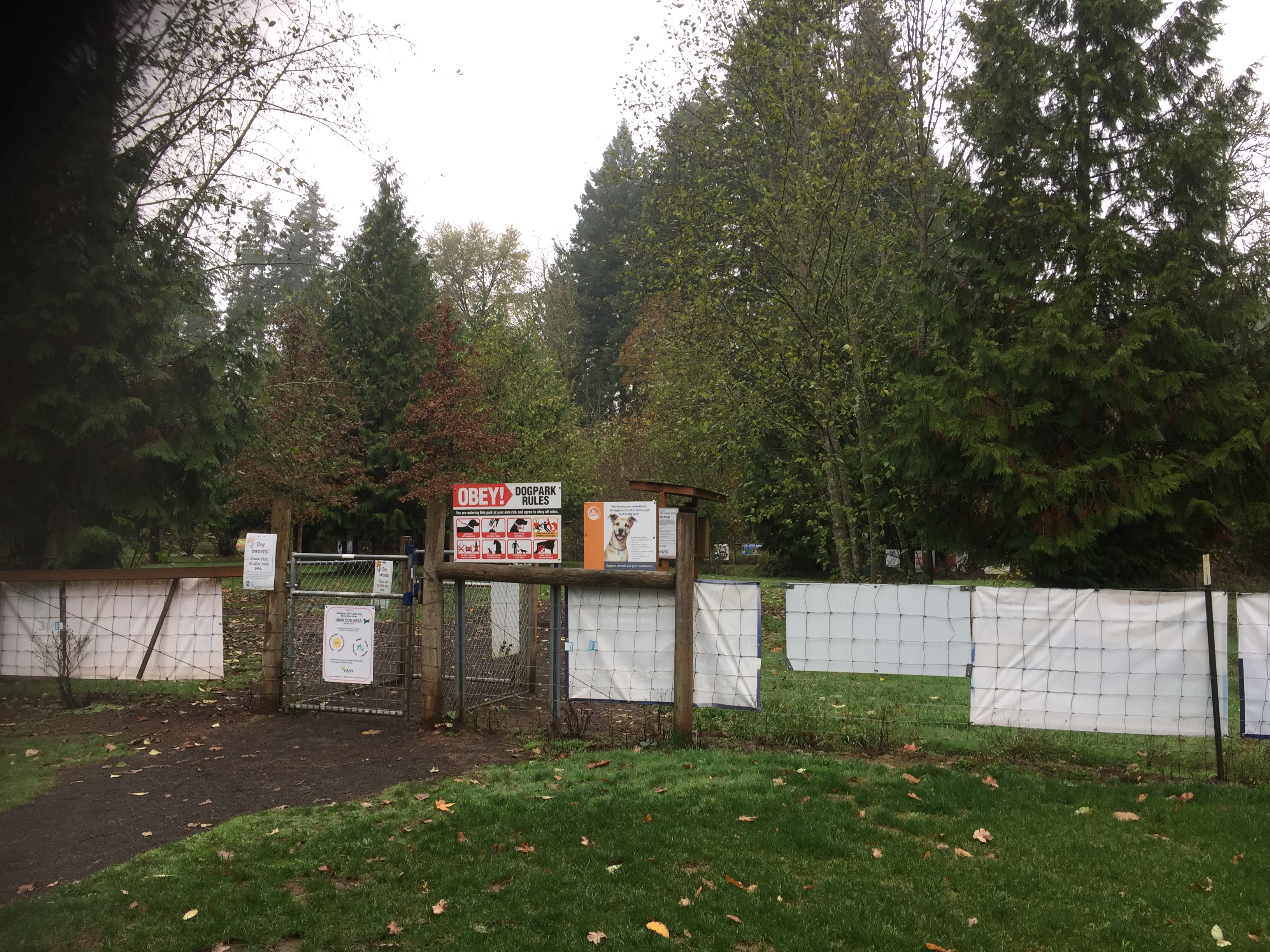
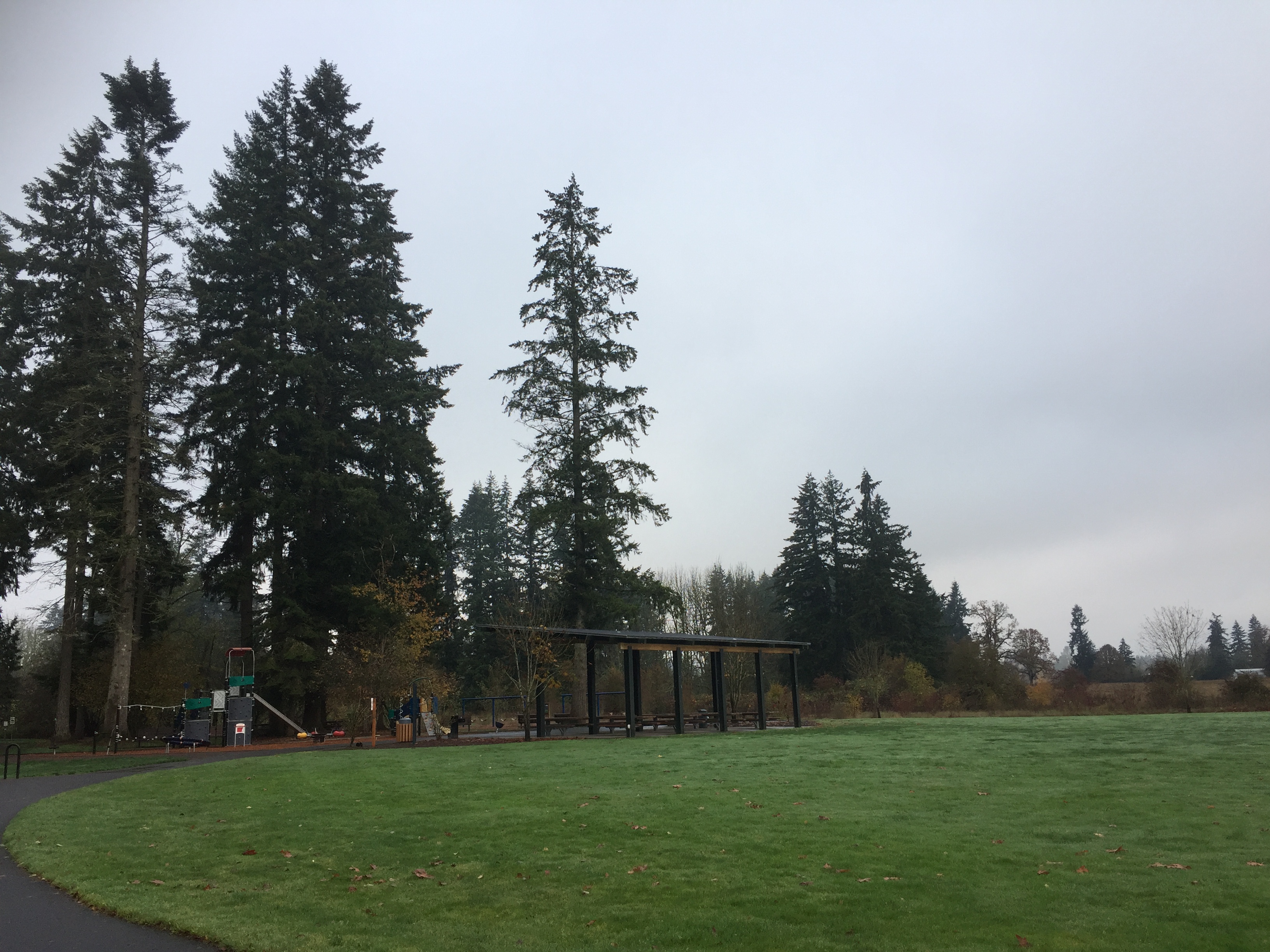
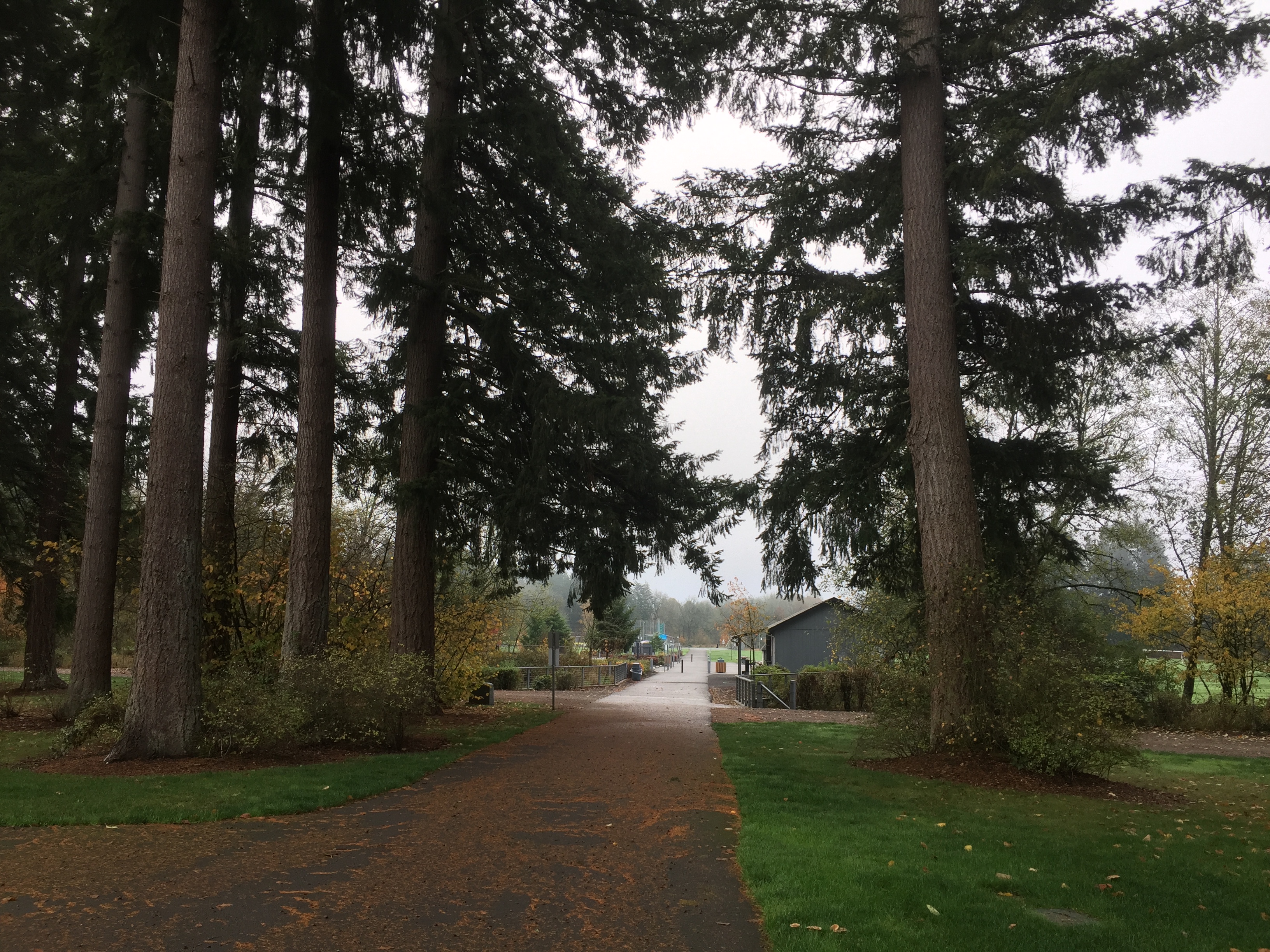
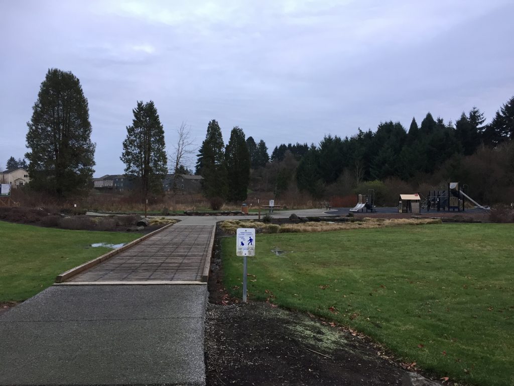
Lacamas Lake Regional Park Trailhead 
Round Lake
Here are several options for hikes.
- Walk around Round Lake. Note that going around the north end of Round Lake requires walking along 35th Ave and a small portion of Everett St. Total about 1.3 miles.
- From the Trailhead at Round Lake to the Lacamas Creek Falls and Creek Bridge, is about 1 mile, 2 miles round trip.
- From the Trailhead on 3rd Ave to the Falls and Bridge is about .6 mile.