Category Archives: Parks
Lewisville Regional Park
Lewisville Regional Park includes a 3 mile loop trail. The trail is well maintained, with no muddy sections in wet weather. It is mostly pea gravel, but parts of it are paved or dirt. Beyond the main loop, three are additional paths that could be followed.
Parking in the park is $3 between May 1 and September 30 (if there is a busy park event), but many people park near the park entrance where there is free parallel parking on the side of the entry road. This space will often fill up, so be prepared to just pay the $3 and find an open space inside the park. There are a couple trails that connect to Potter Rd north of the park, but if you choose that option, be very considerate of the neighbors so that you do not park in an area marked No Parking and that you do not park in a way that will interfere with their access to their property and driveways.
It is well worth paying $3 to help support the park. If you want, you can buy an annual pass.
-
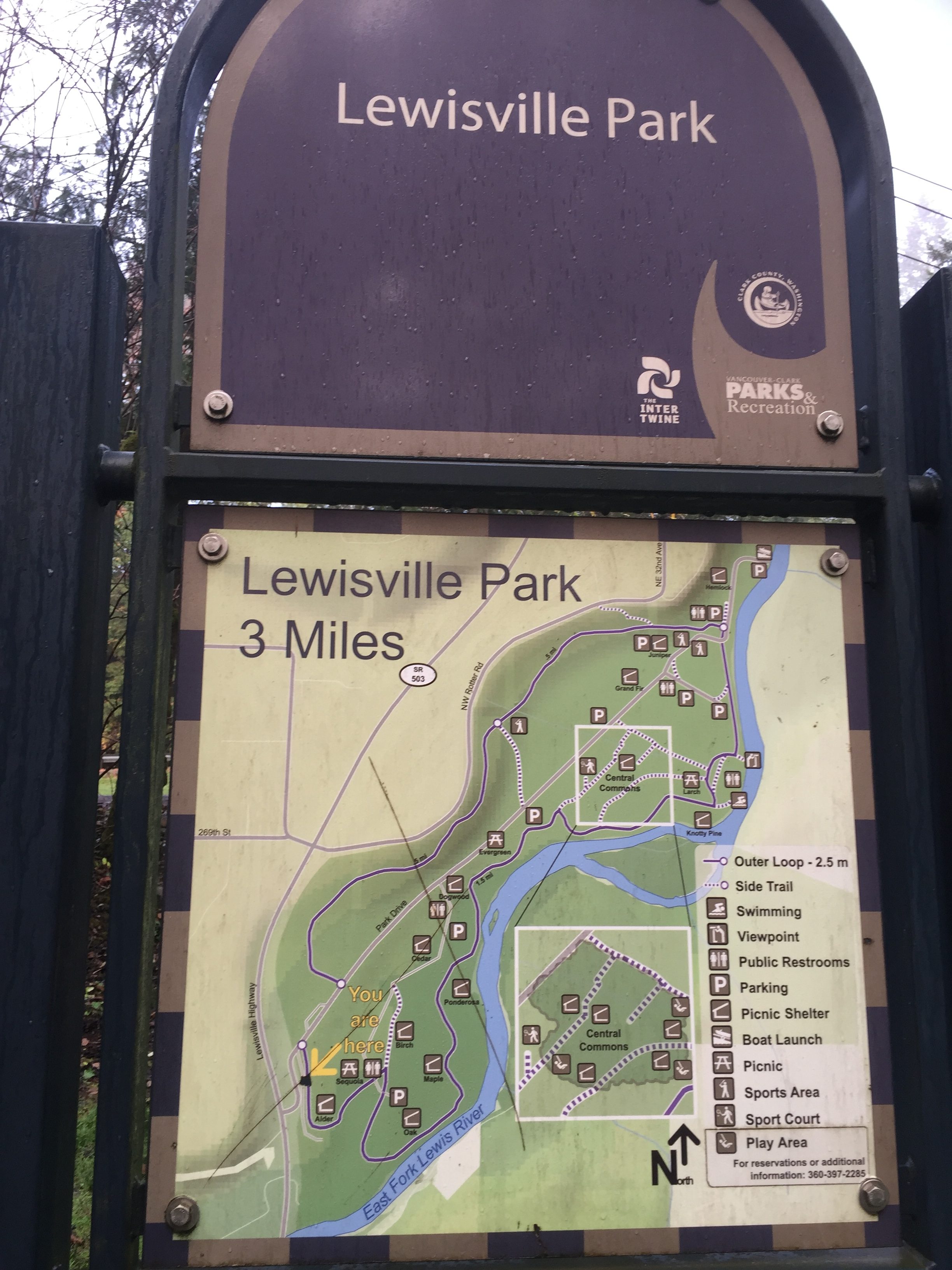
Lewisville Regional Park includes a wide pea gravel 3 mile loop trail. -
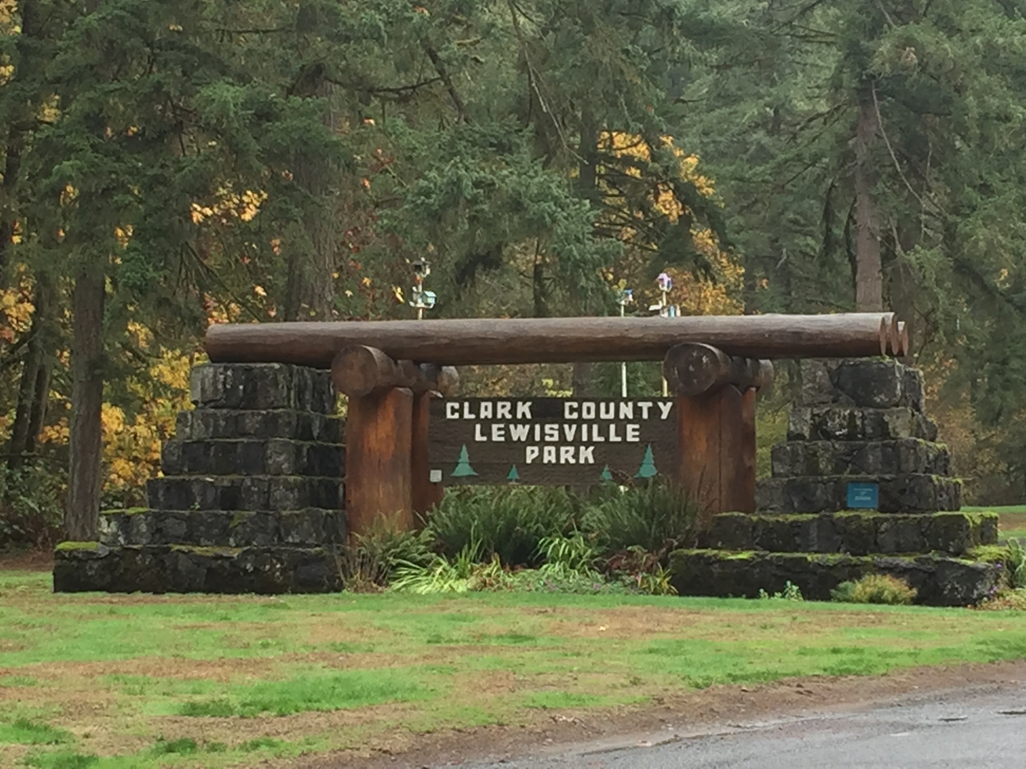
Lewisville Regional Park entrance -
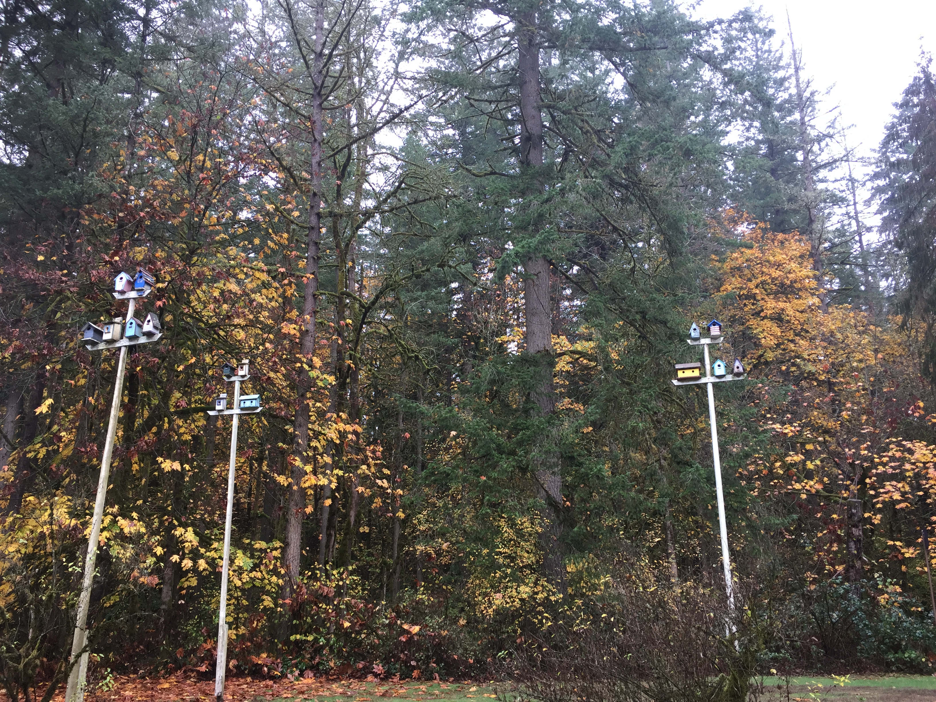
Birdhouses by the entrance of Lewisville Regional Park -
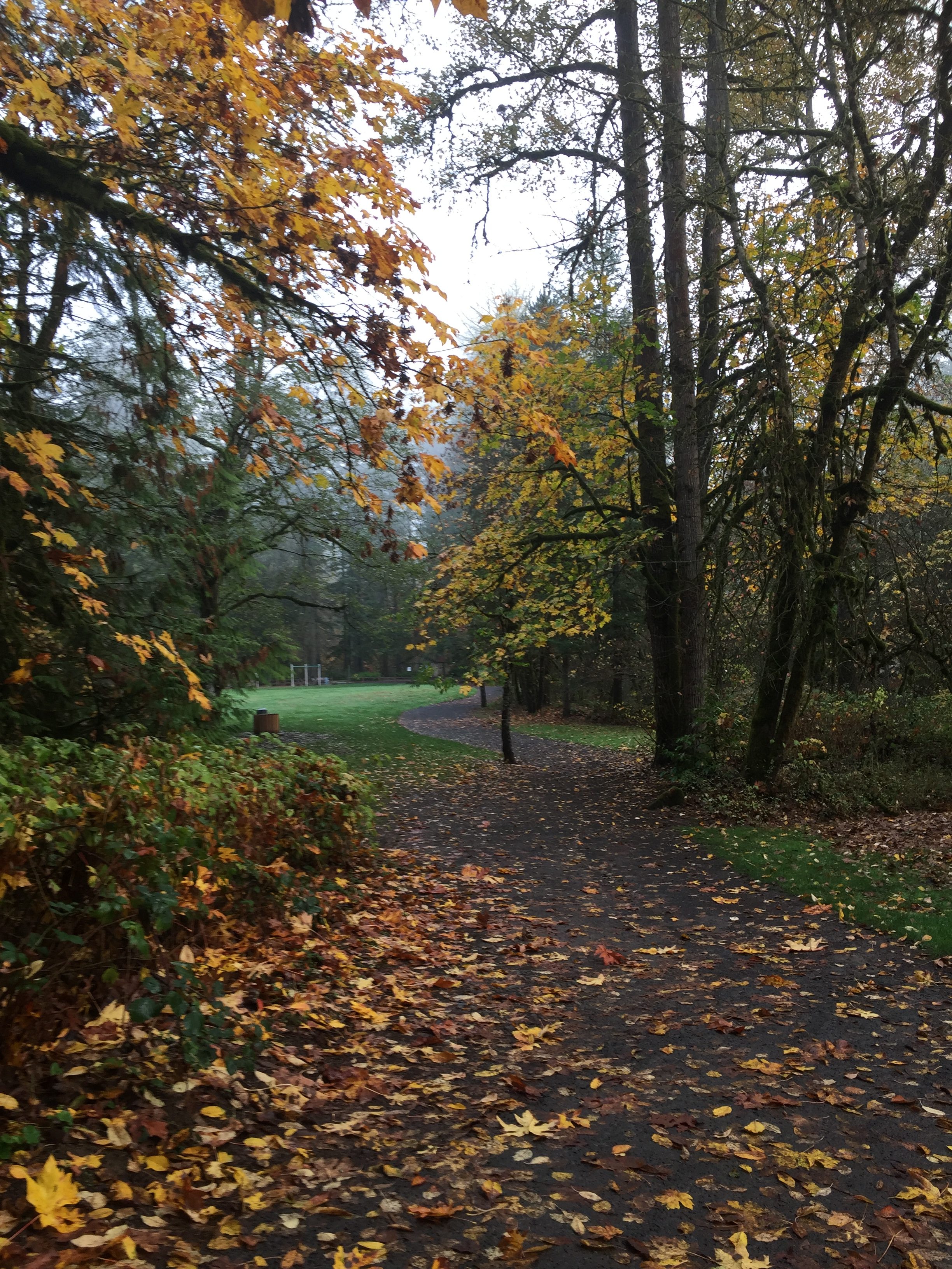
Main trail in Lewisville Regional Park -
Main trail in Lewisville Regional Park -
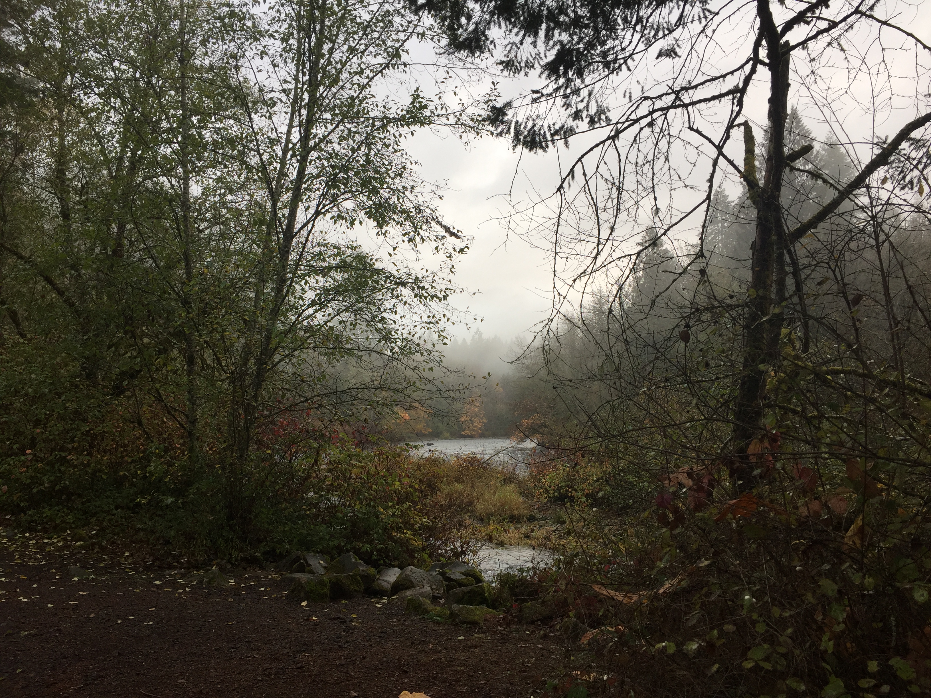
East Fork Lewis River in Lewisville Regional Park -
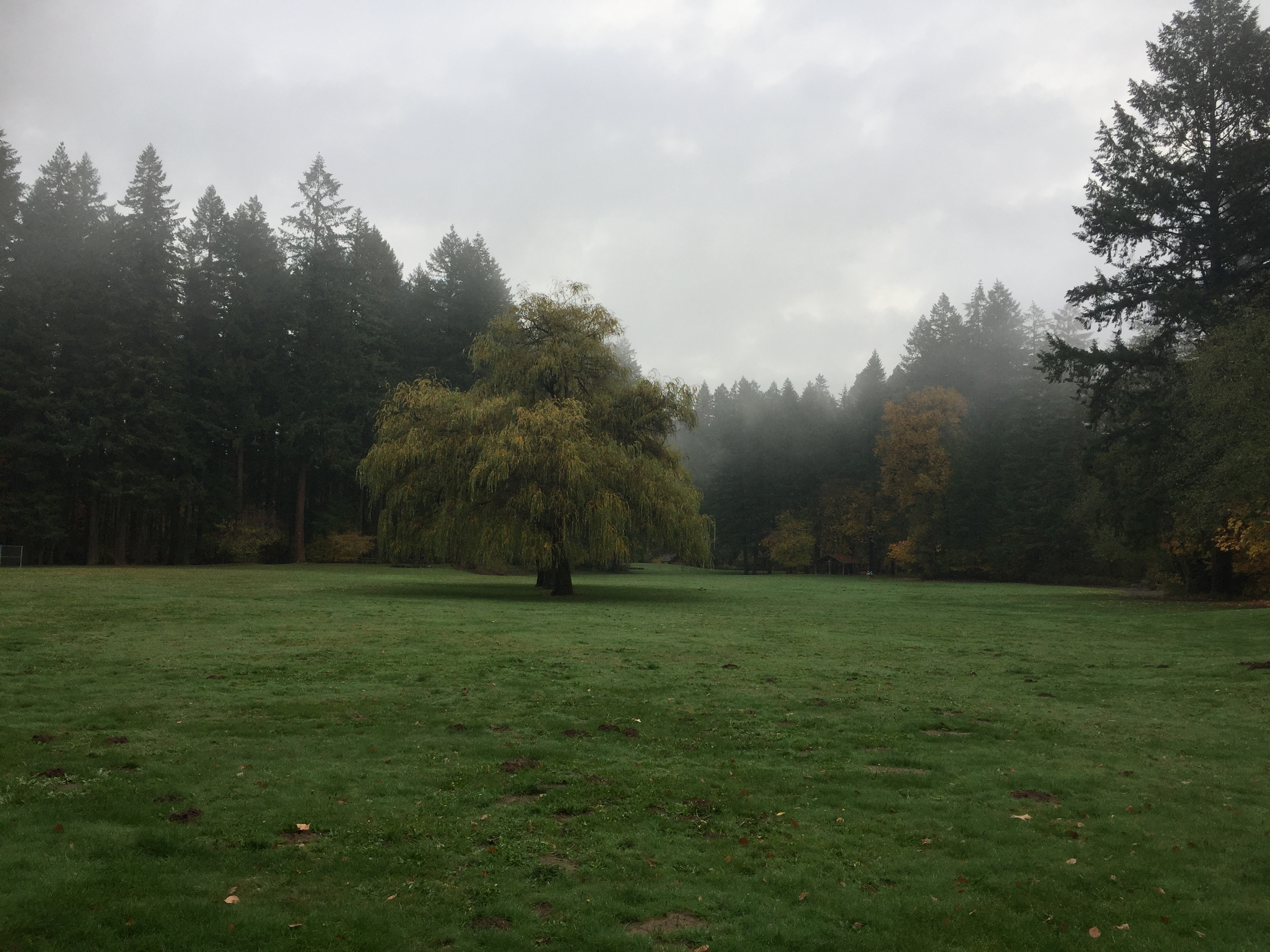
Open field in Lewisville Regional Park -
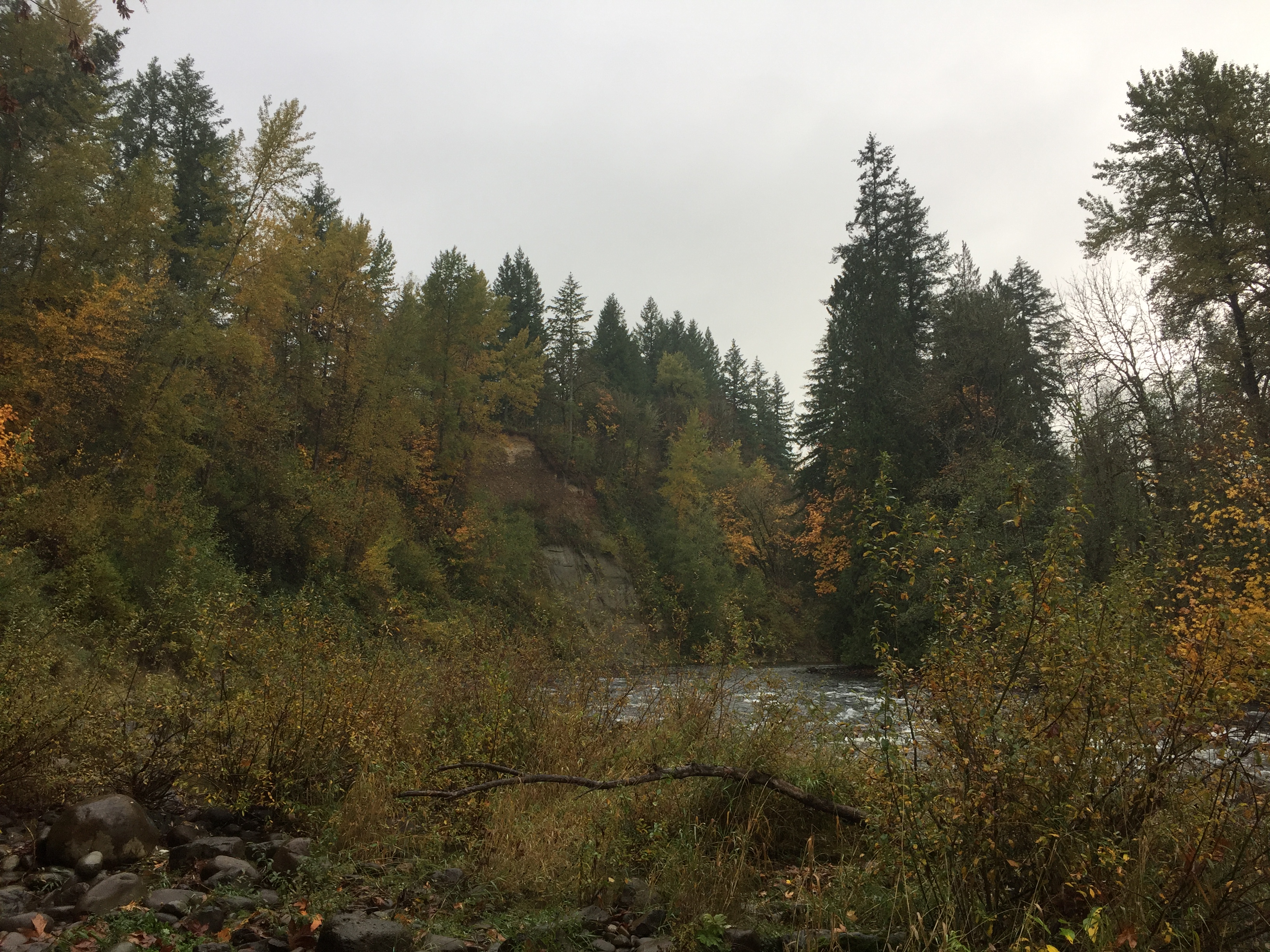
The farthest upriver end of Lewisville Regional Park -
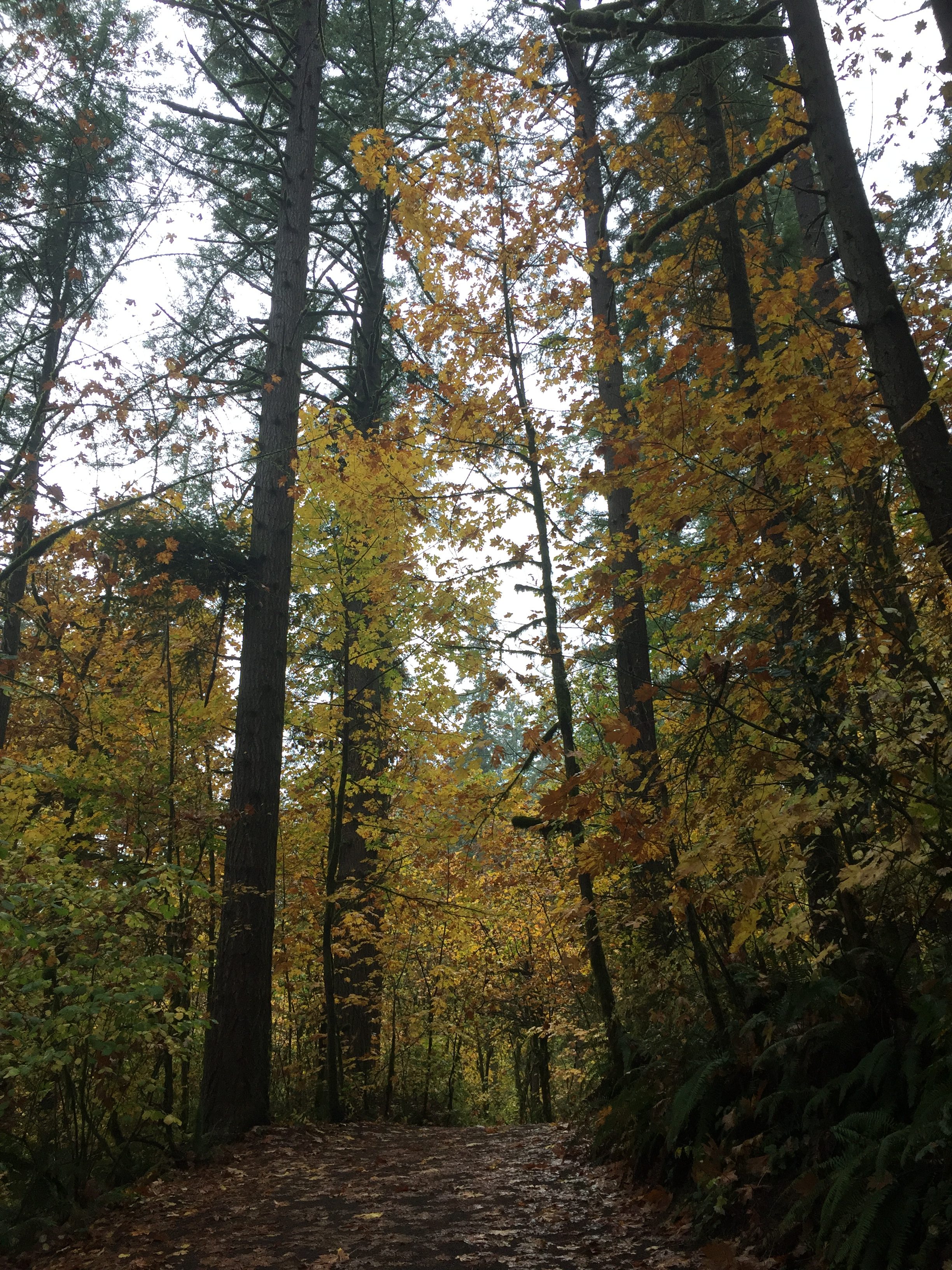
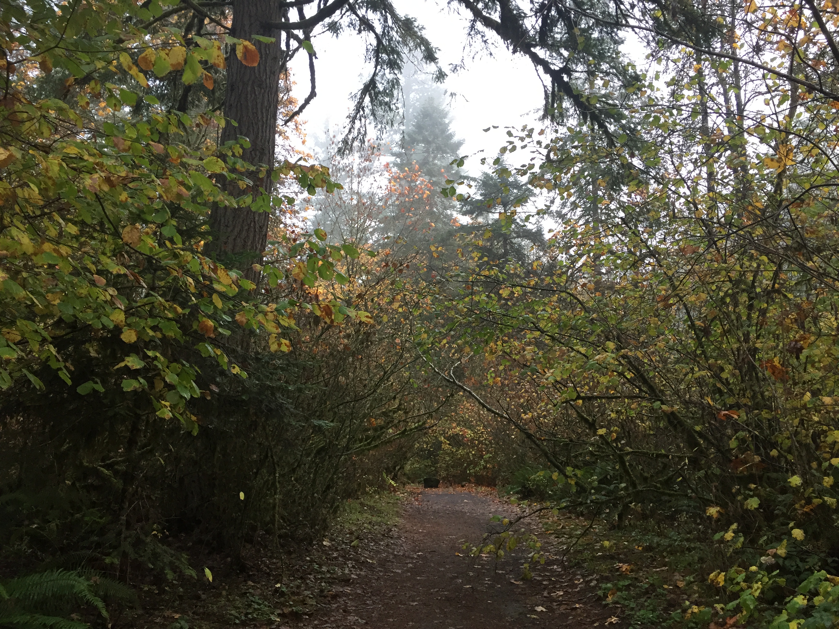
Forest trail in Lewisville Regional Park -

Panorama of the East Fork Lewis River in Lewisville Regional Park
Lacamas Lake Regional Park
Lacamas Lake Regional Park includes nearly 13 miles of trails. There is a loop trail around Round Lake, and trails down Lacamas Creek. The trails here are pretty thoroughly mapped in Google Maps, and in the TrailForks App.
In addition to the trailhead at Round Lake (which often fills up), there are starting points at St. Thomas Aquinas Catholic Church at the Trailhead on 3rd Ave, at Woodburn Elementary, and at Lacamas Lake Kayaks.
There has been a lot of new construction happening on the north side of the park, making the hike a little less peaceful, and potentially changing some of the trail connections.
Overall this is a great area to explore, with lots of new trails to find on each trip, and some interesting creek side views.
A short distance to the west on Lake Road is the Lacamas Lake Lodge, Lacamas Lake Park, boat launch and Heritage Trail trailhead.
A short trip down Everett Street takes you to Fallen Leaf Lake Park.
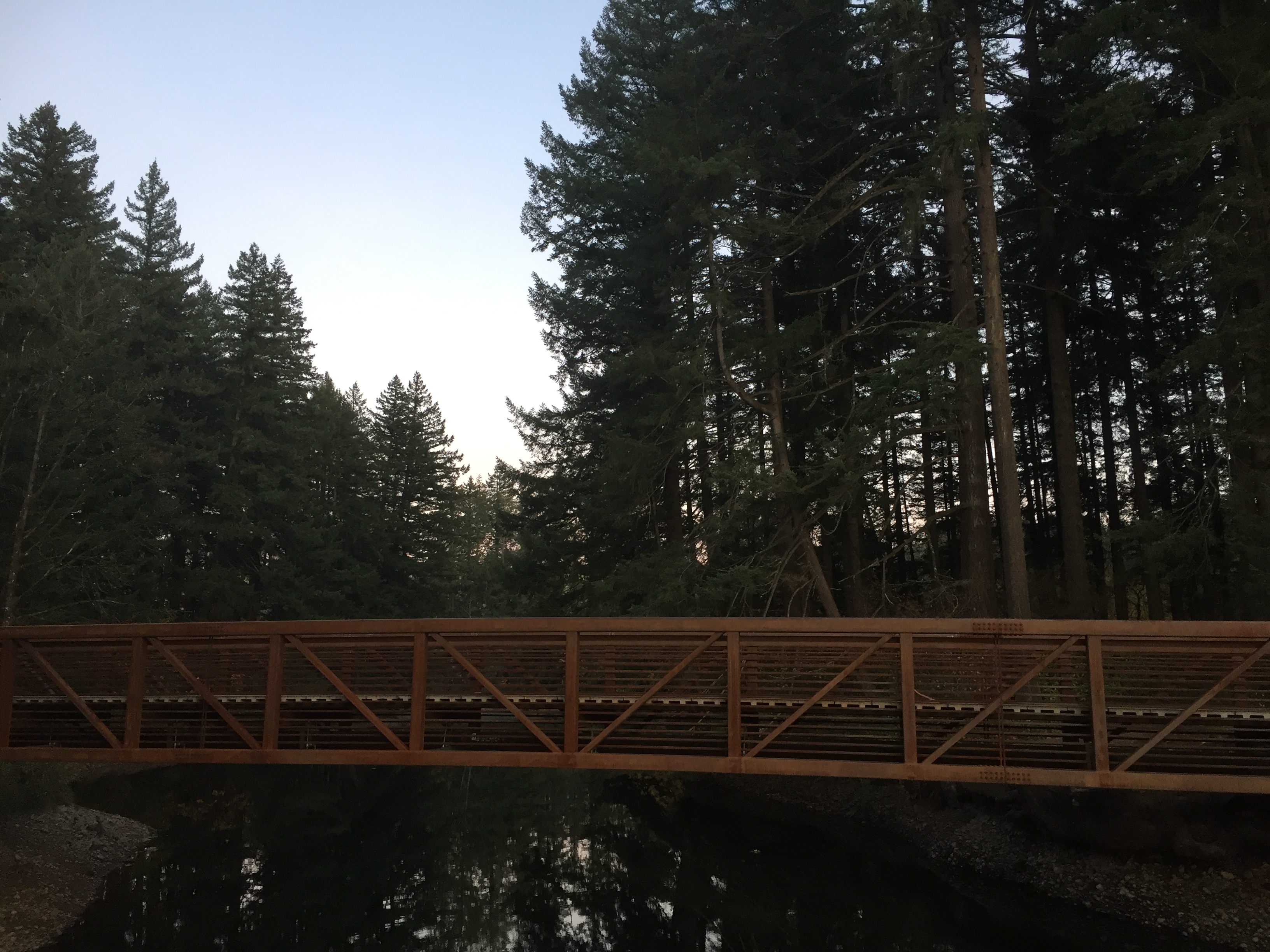
Foot bridge at Lacamas Lake Regional Park 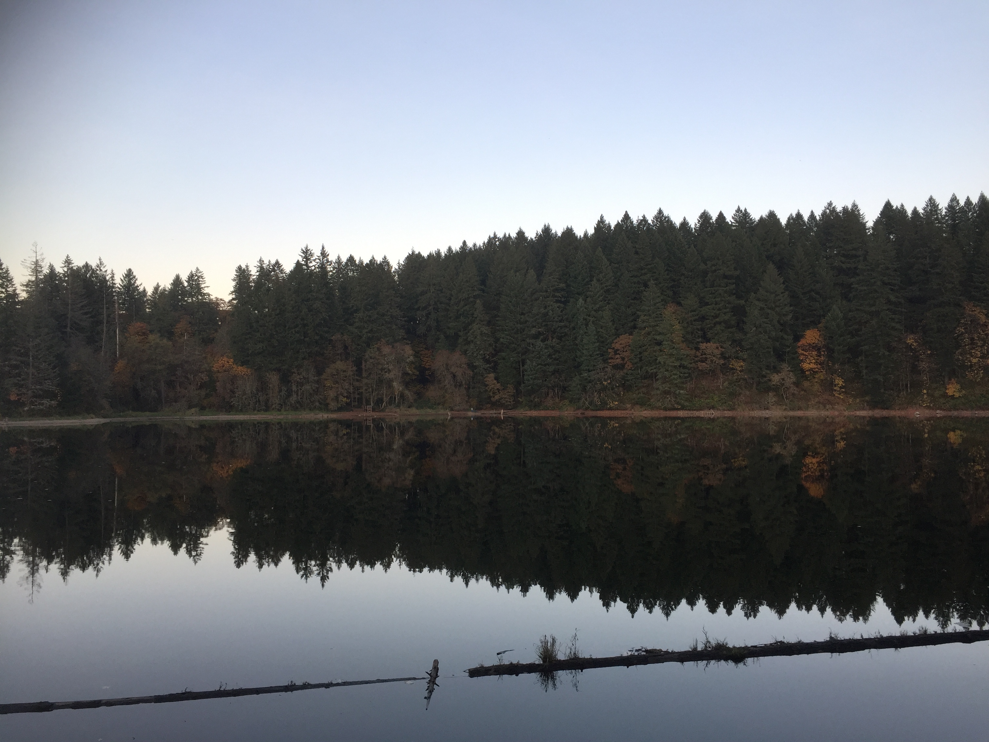
Round Lake at Lacamas Lake Regional Park 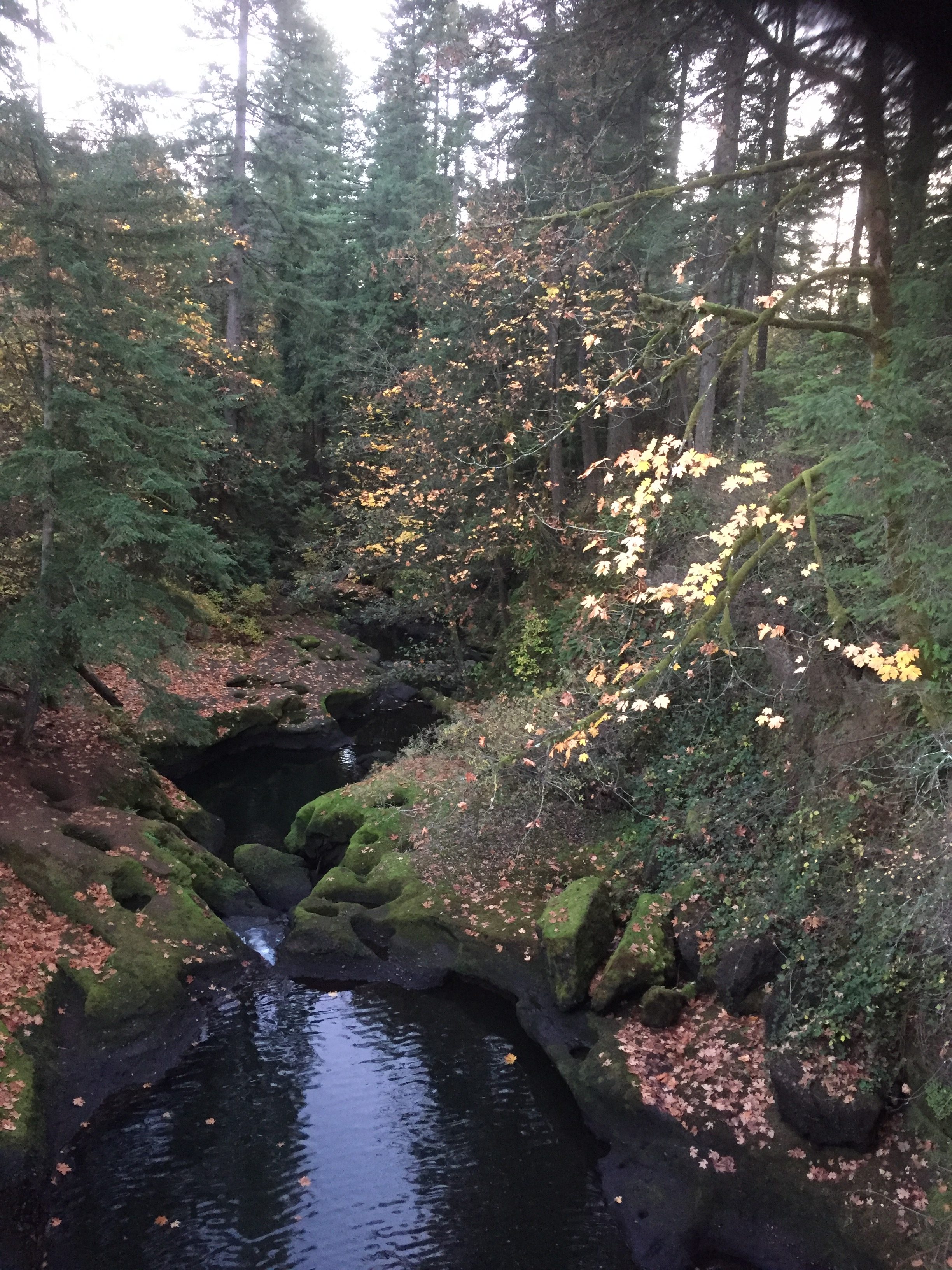
Lacamas Creek 
The Dam on Round Lake at Lacamas Creek 
The Dam on Round Lake at Lacamas Creek 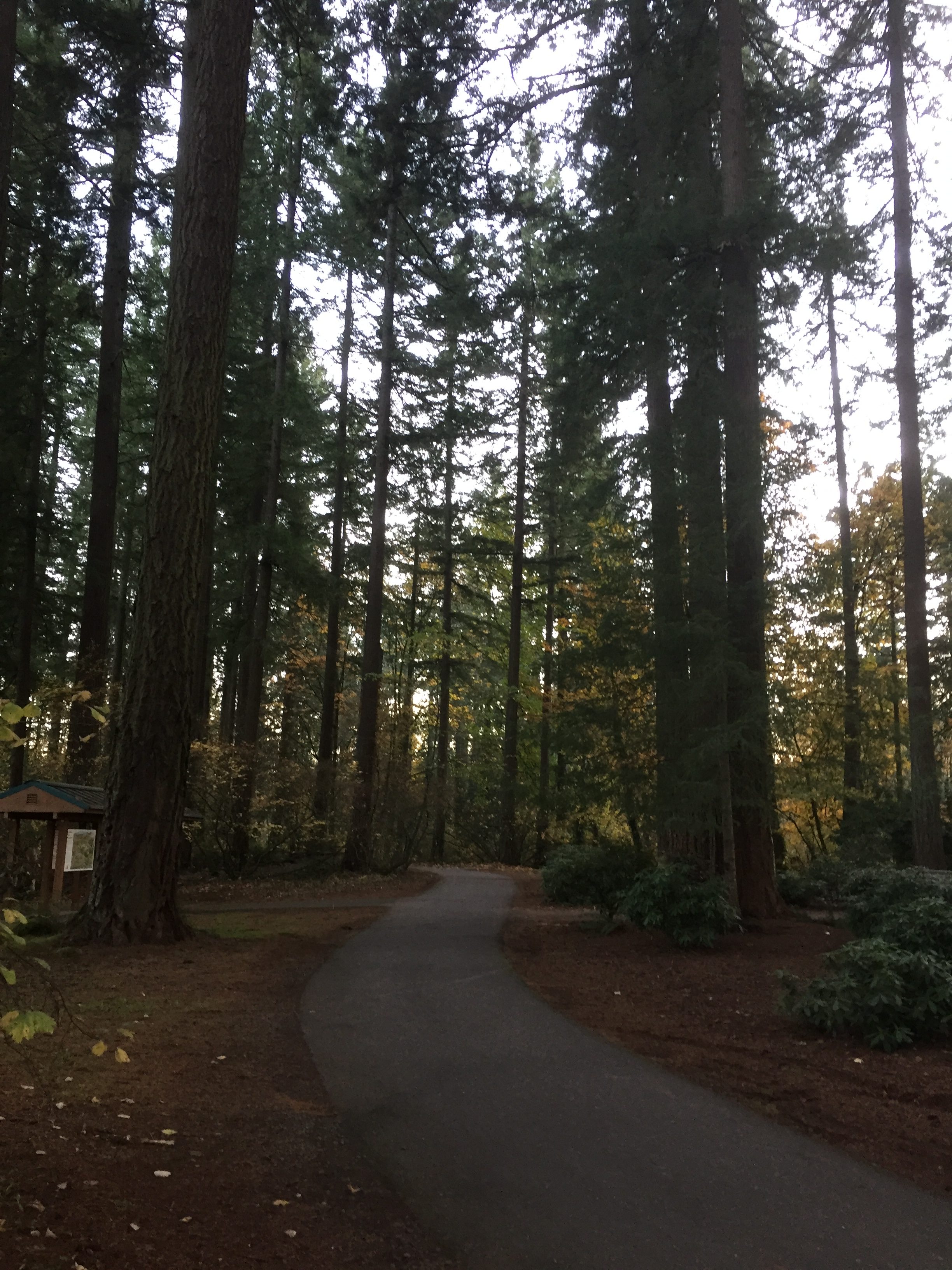
Lacamas Lake Regional Park Trailhead 
Round Lake
Here are several options for hikes.
- Walk around Round Lake. Note that going around the north end of Round Lake requires walking along 35th Ave and a small portion of Everett St. Total about 1.3 miles.
- From the Trailhead at Round Lake to the Lacamas Creek Falls and Creek Bridge, is about 1 mile, 2 miles round trip.
- From the Trailhead on 3rd Ave to the Falls and Bridge is about .6 mile.
Kate and Clarence LaLonde Neighborhood Park
Kate and Clarence LaLonde Neighborhood Park
To enter and walk the path at this park, you should park on the north side, at the end of 102nd St. It’s a nice little loop path of just over a quarter mile.
Jorgenson Woods Neighborhood Park
Jorgenson Woods Neighborhood Park
This small forested park has a quarter mile of paved and dirt paths meandering through a cool comforting forest.
Enter at NW 3rd Ave and NW 72nd Circle, at the end of NW 70th St west from NW 3rd Ave, or at the end of NW 72nd Circle east from NW Anderson Ave.
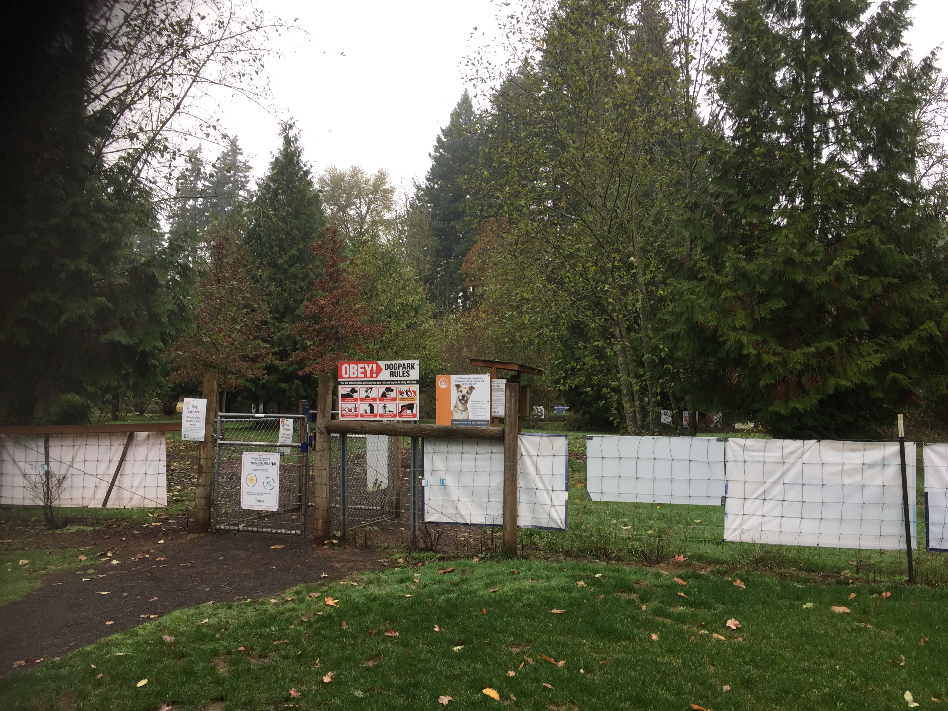
Hockinson Meadows Community Park
Hockinson Meadows Community Park
Wherever you park, you can easily follow the main path through the park, through the forested area, then along side the roads to the parking for a complete loop of just under one mile.
Be warned, watch your step. There is a nice big off-leash dog park, which is great to have, but unfortunately I noticed some of the dogs leave deposits elsewhere along the trail.

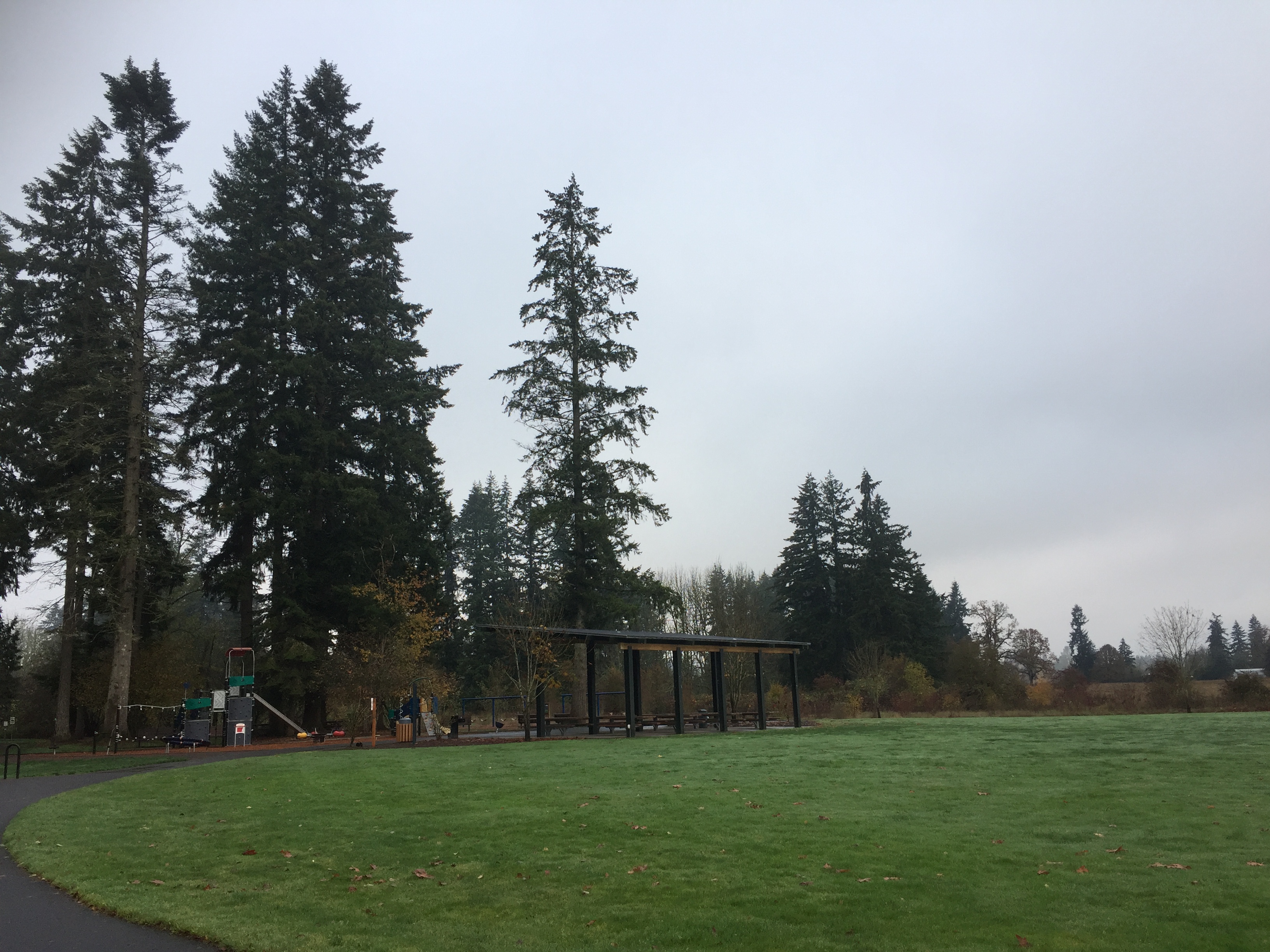
Hockinson Community Park has large wide trails, some paved, some gravel.
A path that extends along the entrance drive, also follows 172nd Ave north to 119th St. This gives a 3/4 mile path from the parking lot to walk, jog or bike. You can also ponder a little history on this walk. On the other side of 172nd Ave is China Ditch, so named because it was dug by Chinese labor to drain the surrounding swampy lands. I walked this after a heavy rainfall, so there were several large puddles in the path to skirt around.
Hazel Dell Community Park
This is not a park with extensive trails, but it is a nice little forested area with a trail that loops up along the north line.
Frenchman’s Bar Regional Park
Frenchman’s Bar Regional Park includes just short of one and a half miles of riverfront which can be walked.
If you went to Hewlett Point in Frenchman’s Bar Regional Park at the south end of the park, and then either walk or ride along the paved path to the north end of Vancouver Lake Regional Park, you would have over a six mile round trip. Unfortunately over two miles of the trail runs along side fields without much tree cover, which can make for a hot and boring hike on hot days. This trail is much better for bike riding than it is for walking.
There are several places where you can park to start onto the trail. You can park at Frenchman’s Bar Regional Park, or at Vancouver Lake Regional Park, both of which require a $3.00 fee, but have lots of parking spaces and good facilities. Alternatively, you can park at the bend in Lower River Road at Blurock Landing (often fills up), the lot just south of where Lower River Road divides from the road for Vancouver Lake Park, or at a lot just north of there, which is the Frenchman’s Bar Hiking Trail Parking Area.
Fairgrounds Community Park
Fairgrounds Community Park has a paved loop path of about a half mile, but there is also a dirt trail that exits the park on the north side to connect with the Clark County Event Center. The trail runs alongside the fields used for parking at the Event Center, then turns back toward the south to meander south and west through the woods emerging at a field which can be crossed to reach 11th Ave to connect with the trail to Whipple Creek Regional Park. The trail through the forest (just shy of a half mile) is a nice walk on it’s own. The path across the field (just over a quarter mile) is not cleared, which might not be a problem if you are on horseback, but when walking it can take some searching, or some walking through tall grass to find your way. Late summer or early fall, the field was cut, so paths across the field are easier to find.
There is an inconspicuous dirt trail connecting through the woods at the south end of the field. From the park side, go to the western-most curve of the paved path. To the west you will find a trail entering the trees. This path meanders through the wooded area to the field, and then a trail can be followed along the edge of the field up to the northern trail that wanders back through the forest. A complete circuit of these trails is about 1 mile.
Douglas Carter Fisher Neighborhood Park
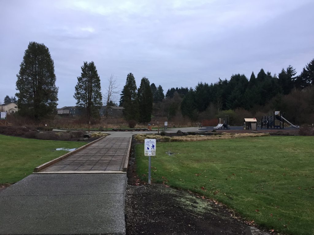
Douglas Carter Fisher Neighborhood Park
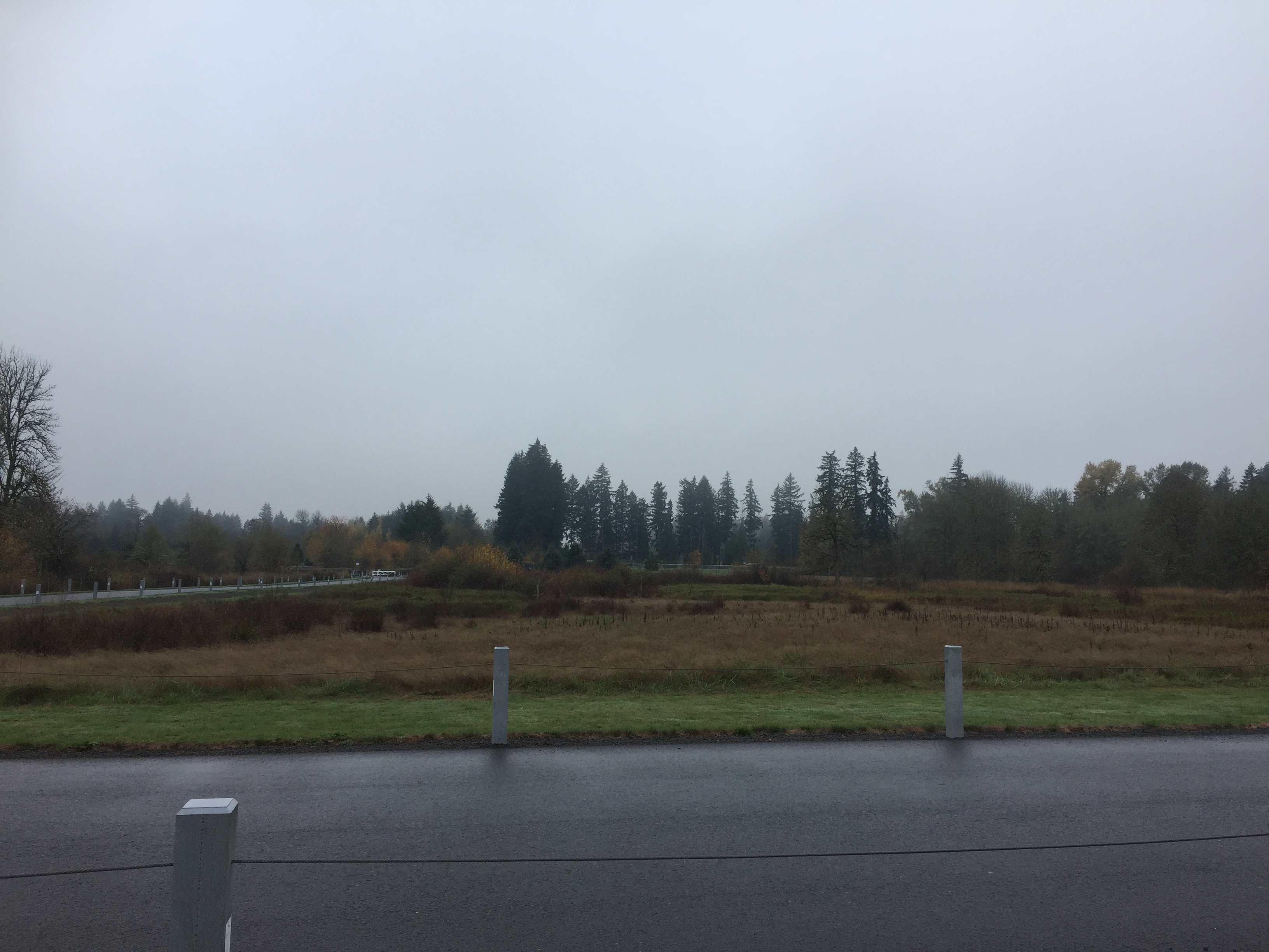
This small park is adjacent to a wetland, the last remnants of what was once a 29 acre lake. The barkdust trail around the wetland is a half mile. When I was there, shortly after rains, the short loop trail around the park was muddy, but the longer loops around the wetland were perfectly fine for walking.
Douglas Carter Fisher Neighborhood Park 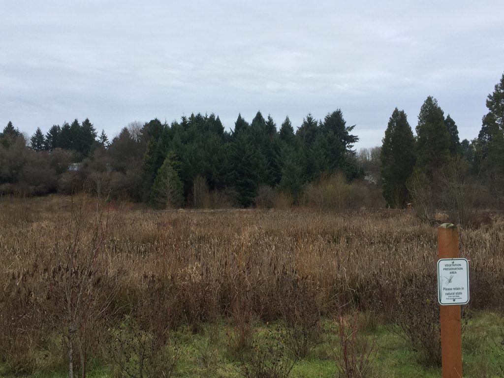
Wetland at Douglas Carter Fisher Neighborhood Park 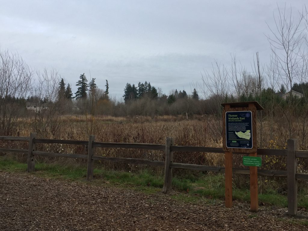
Wetland at Douglas Carter Fisher Neighborhood Park
