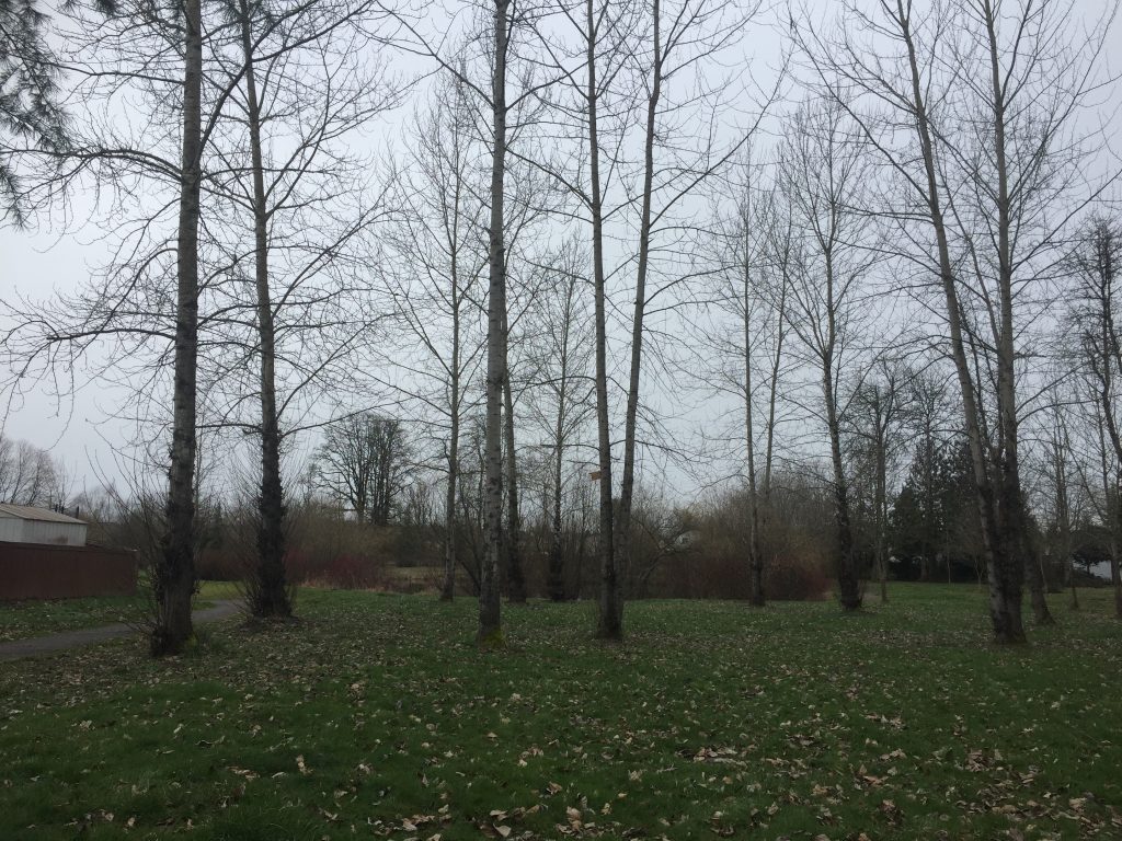
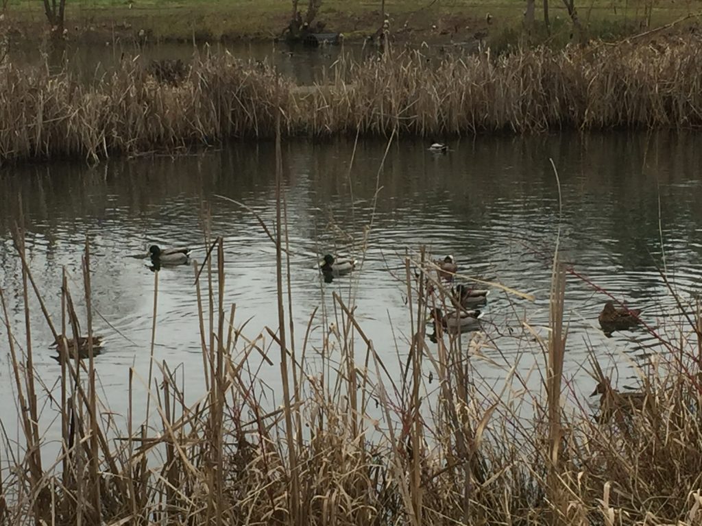
Named for a long time resident and community volunteer in Battle Ground, this park has a nice walk around the duck ponds. There is about a half mile of paved paths. As far as I know, Florence Robison is not directly related to me, but perhaps linked through distant cousins. The duck ponds provide a relaxing sight to meander around.
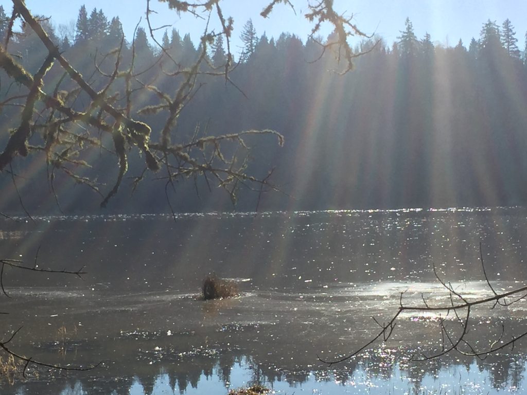
On the south side of the river, you can explore trails in the west La Center bottom lands. During the right season, this is a good area to observe waterfowl, including a large flock of swans (from a distance) who winter there. While the trail to the west is clear for less than half a mile, it does open interesting areas to explore. I followed deer paths for another 1/2 mile. It is interesting to explore some of the deer paths and beaver trails through this area.
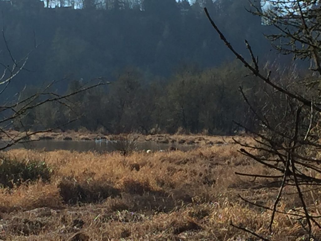
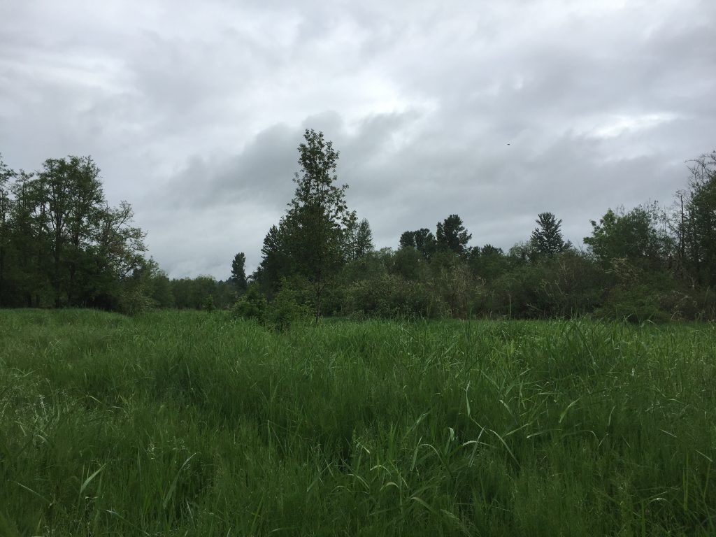
Wetland west of La Center (the tiny white dots int he distance are swans).
Wetland west of La Center (you can almost see the swans).
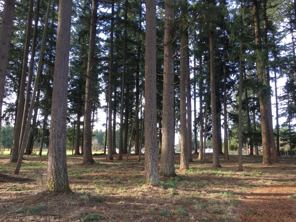
A recently developed neighborhood park. There is an interesting spiral walk as well as a forested area with paths. The Google Maps images, sky view and street view, are all from before the park was developed. There is access from 96th St and from 93rd St (although it does not look it in Google Maps). As is typical of many neighborhood parks in Clark County, this one has a nice looped paved path, as well as an area of barkdust paths in the wooded area.
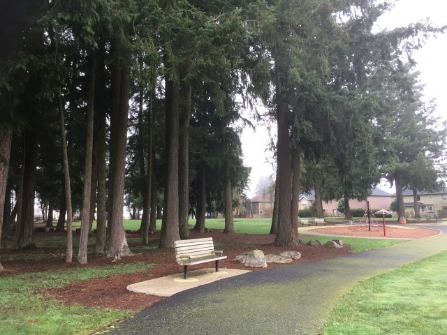
Another nice neighborhood park, with a 1/3rd mile loop walk. The main entrance is on NE 124th Ave (Google street view is from before the park was developed) with access paths to NE 104th St and NE 102nd St or NE 121st Ave.
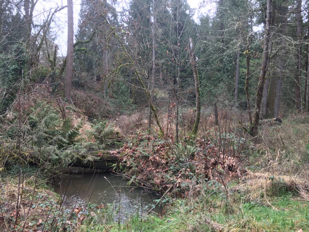
If you visit the Whipple Creek Hollow Natural Area, there is a sign showing local trails, and the sign includes a trail following east along Whipple Creek from Union Rd. However, if you go to the start point for this trail, you will see a gate with a “Keep Out” sign on it.
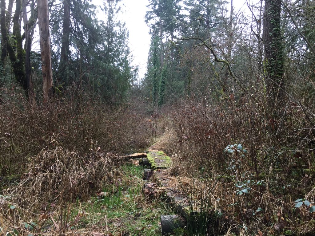
The gate keeps vehicles out, but on foot you can walk around it. The access road goes to a pair of storm water management ponds, and beyond the ponds is a trail to follow Whipple Creek. This trail, however, is un-maintained and may be impassable at times. There are a series of old log walks which help get past some of the muddy areas, but when I visited, the last log ended in a bush and over a puddle. Without high boots, I could not go further.
It would be great, and likely in the plans of the parks crew, to eventually improve this trail and build a bridge across Whipple Creek so that it can connect to the Salmon Creek Community Club Park and continue up stream to the Whipple Creek Hollow Natural Area.
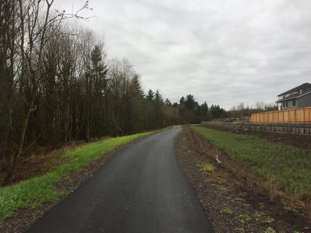
There has been a lot of new development along Hillhurst Road in Ridgefield. Behind the new schools and sports complex, a new neighborhood is being built, with a 2000ft path running around it’s west side. Eventually there will be more trail connections, including connections to the Ridgefield Wildlife Refuge. For now, this is an interesting place to walk just to see the progress of a new neighborhood being built.
This quiet neighborhood park has about a half mile of looping path to walk. A very easy level walk to loop around. There are three entry points. Along NE 131st Ave, the end or NE 129th Ave, and at the end of Sunrise Acres.
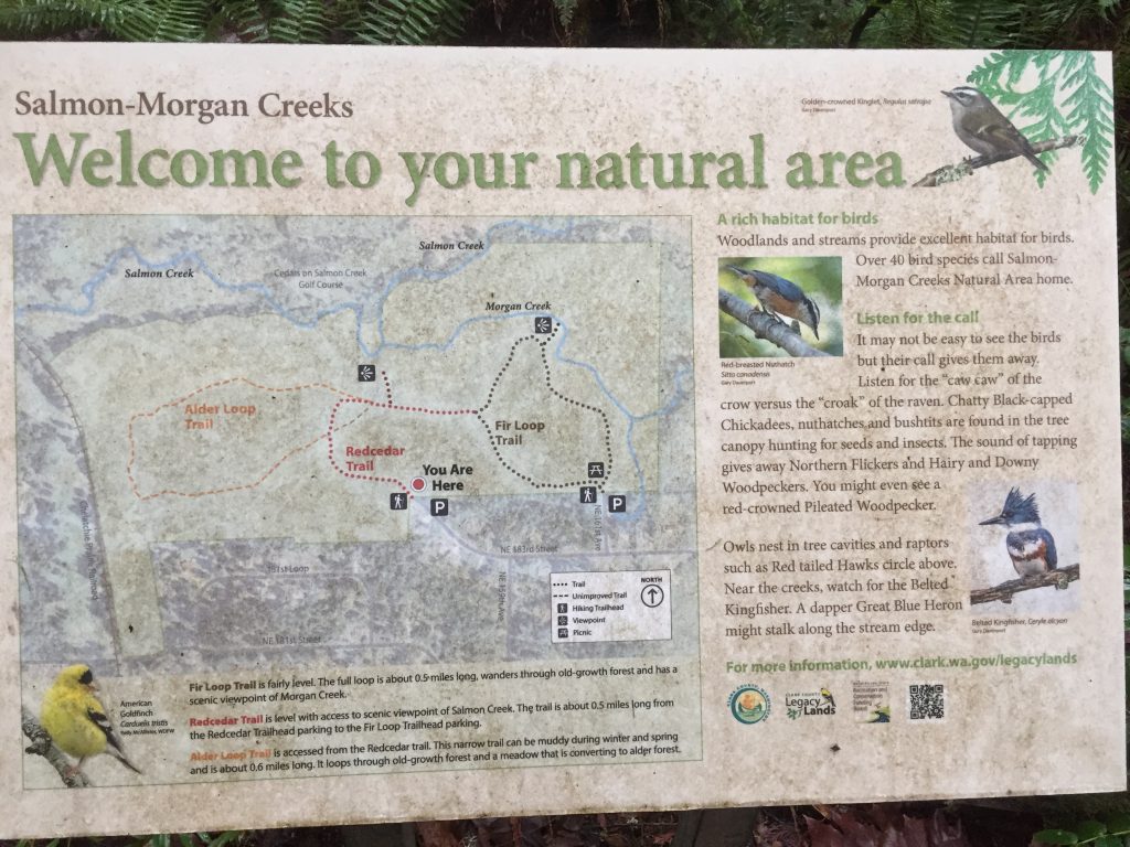
Over a mile of trails, winding through the forest where Morgan Creek meets Salmon Creek. Trails start at the north end of NE 169th Ave and at the end of NE 183rd St. In addition to the official maintained trails, there are as many or more unofficial, un-maintained side trails crisscrossing throughout, and extending out of the natural area.
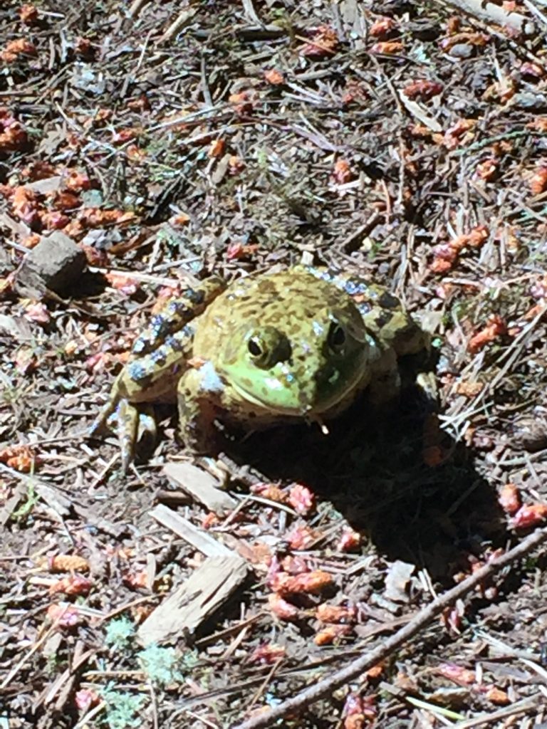
First time I hiked the trails, this green resident stood guard in the path.
A resident of the Salmon & Morgan Creeks Natural Area
Map sign at Salmon-Morgan Creeks Natural Area
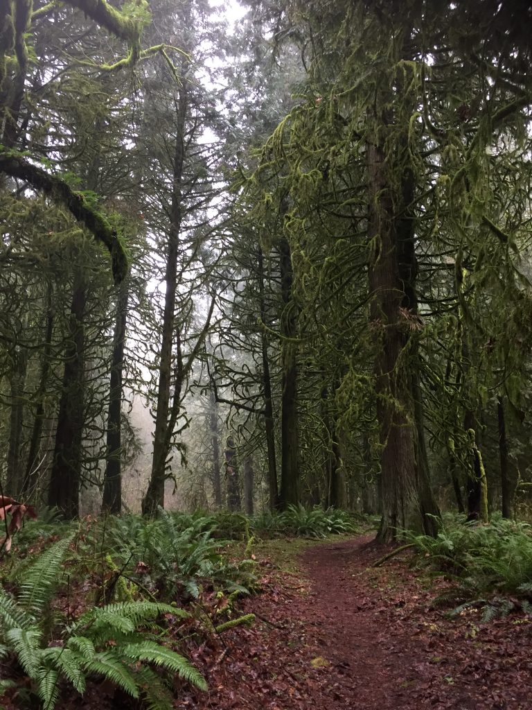
Trail in Salmon-Morgan Creeks Natural Area
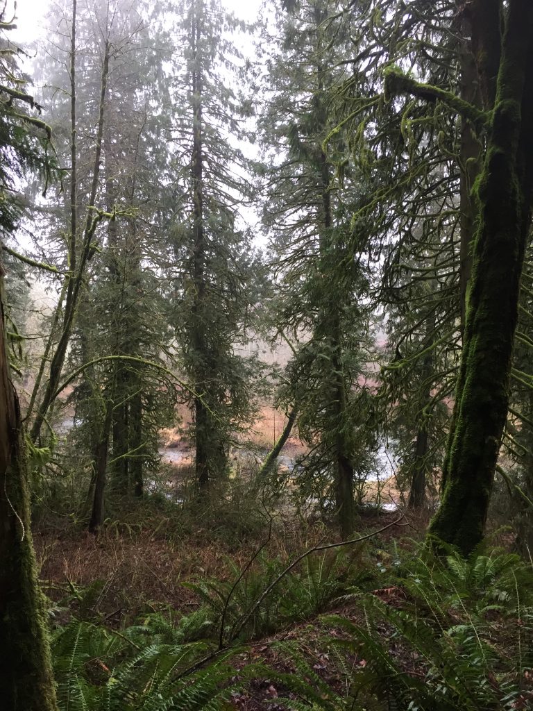
Salmon Creek
Salmon Creek
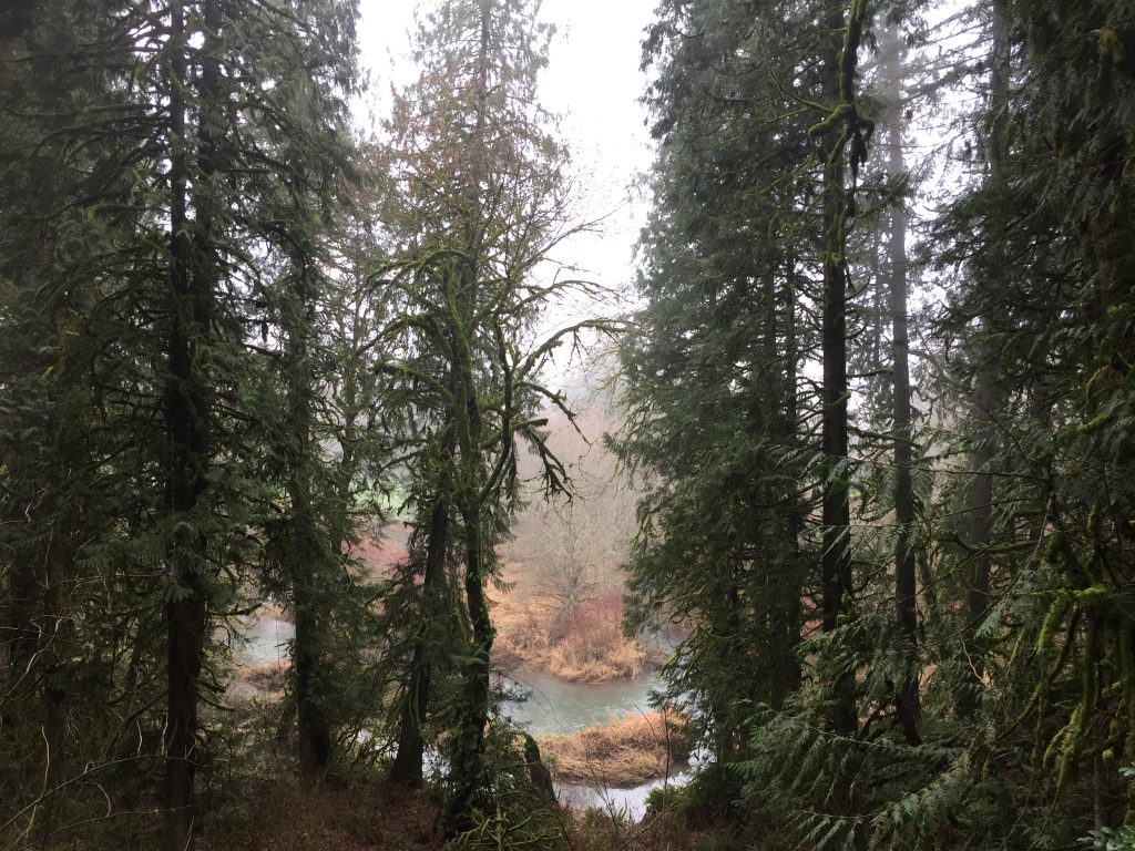
Morgan Creek
Morgan Creek
Side trails extend out to three areas.
Trails on the west side extend to the railroad tracks, and across to the golf course. This has interesting potential because the railroad is the Chelatchie Prairie Railroad owned by Clark County. Potentially a multi-use path could be built alongside the railroad, connecting the Salmon-Morgan Creeks Natural Area to Battle Ground and to Battle Ground Lake State Park and a connection to Brush Prairie.
Trails on the north go to the golf course, and along Salmon Creek. You likely want to stay off the golf course, to avoid flying golf balls.
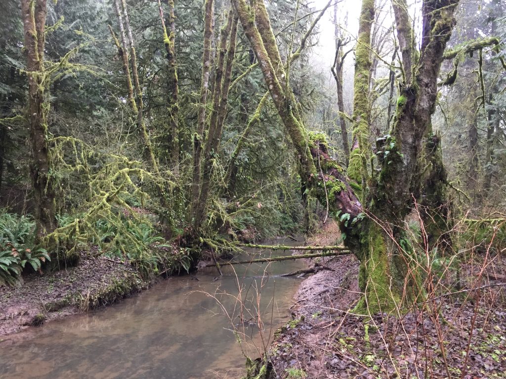
I followed a trail to the east, across a small stream, through an old orchard and reached the east end of NE 183rd St. I note that while the natural area is owned by Clark County, the land to the east (and some other surrounding land) is owned by the Cedars Golf LLC. Potentially there could be trails improved throughout this area as well, including a connection to NE 167th Ave.
This lowland area along the south shore of the East Fork Lewis River includes over 645 acres of land and more than 6 miles of trails. Other than from the river, the one public point of access is at the public cemetery located at the north end of NE 29th Ave. Parking is very limited, but fortunately I have never seen more than two or three vehicles there at a time.
When parking at the cemetery, the trail to the right (east) takes you down to the lowlands, where you can explore miles of trails along the river. The trail straight ahead past the cemetery (north) curves around to meet up with the other trail.
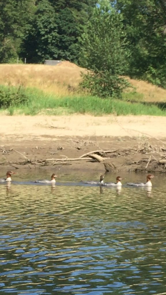
When you go down the trail, at the bottom of the hill you can choose to turn right or left. Either way will give you a good long trail to follow and views of the East Fork Lewis River. I have seen many Great Blue Herons. The last time I was there I saw a group of white herons (Egrets?). Among the group was also a single Great Blue Heron.
Ducks in the East Fork Lewis River
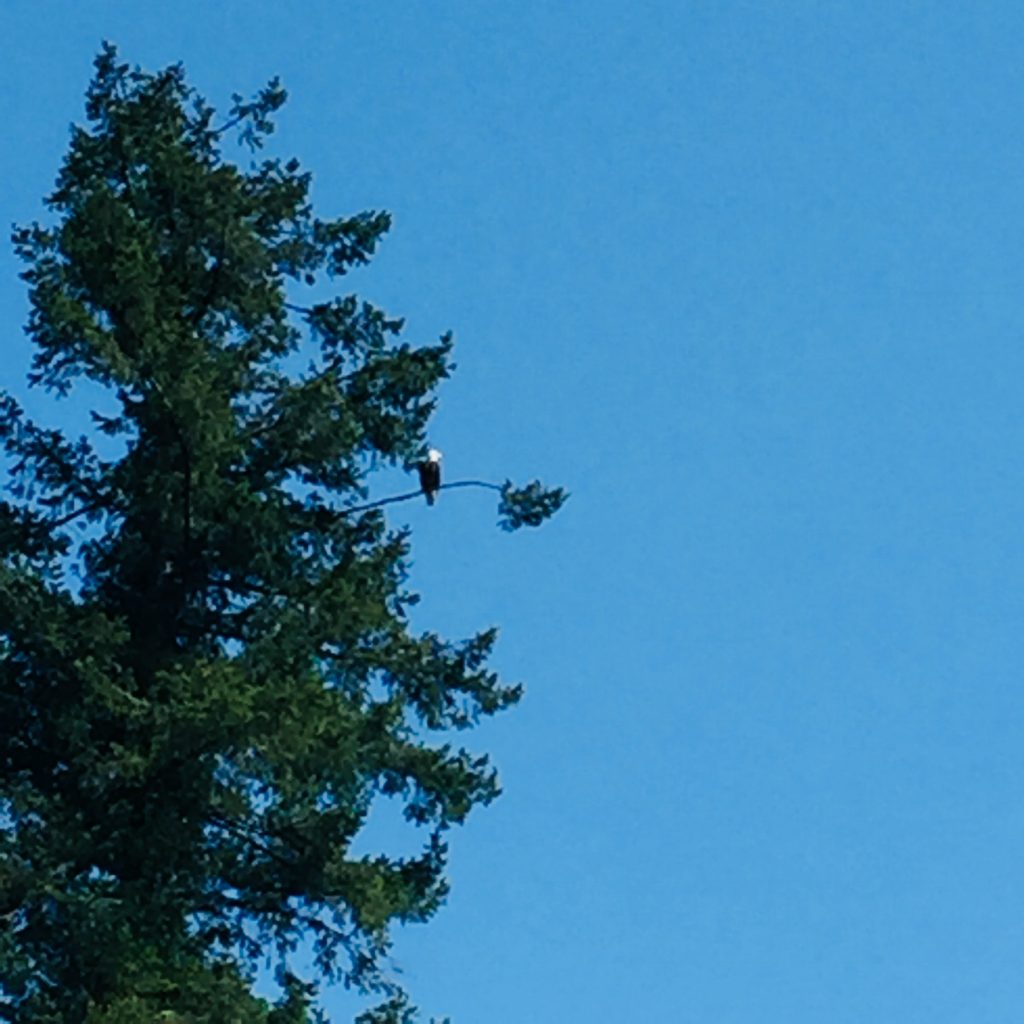
Bald Eagle along the East Fork Lewis River
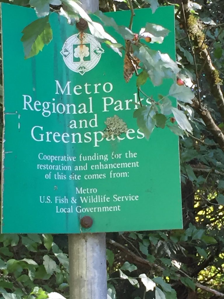
Sign found along the East Fork Lewis River
Clark County Legacy Lands along the East Fork Lewis River
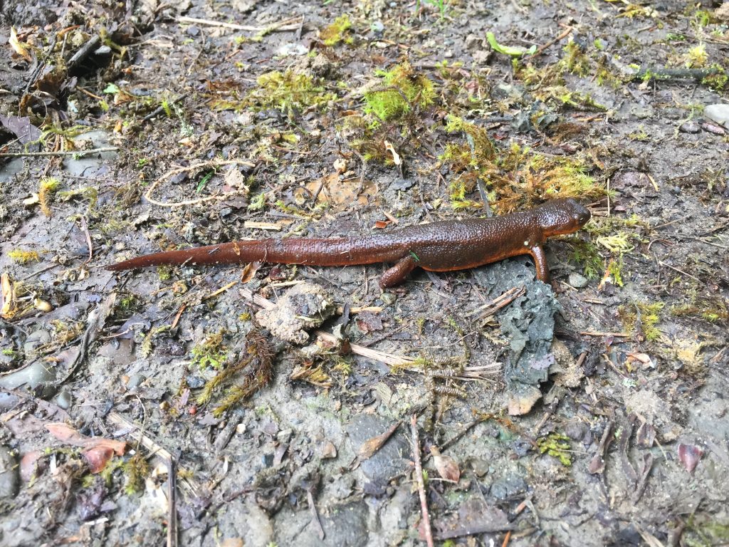
Brown Newt
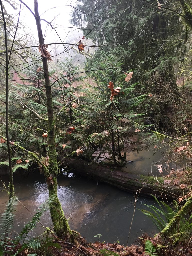
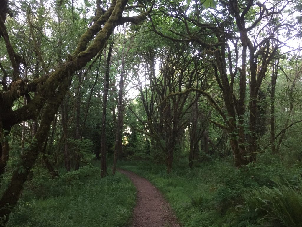
Clark County Legacy Lands along the East Fork Lewis River
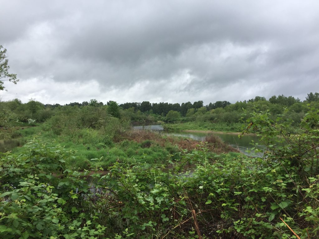
Clark County Legacy Lands along the East Fork Lewis River
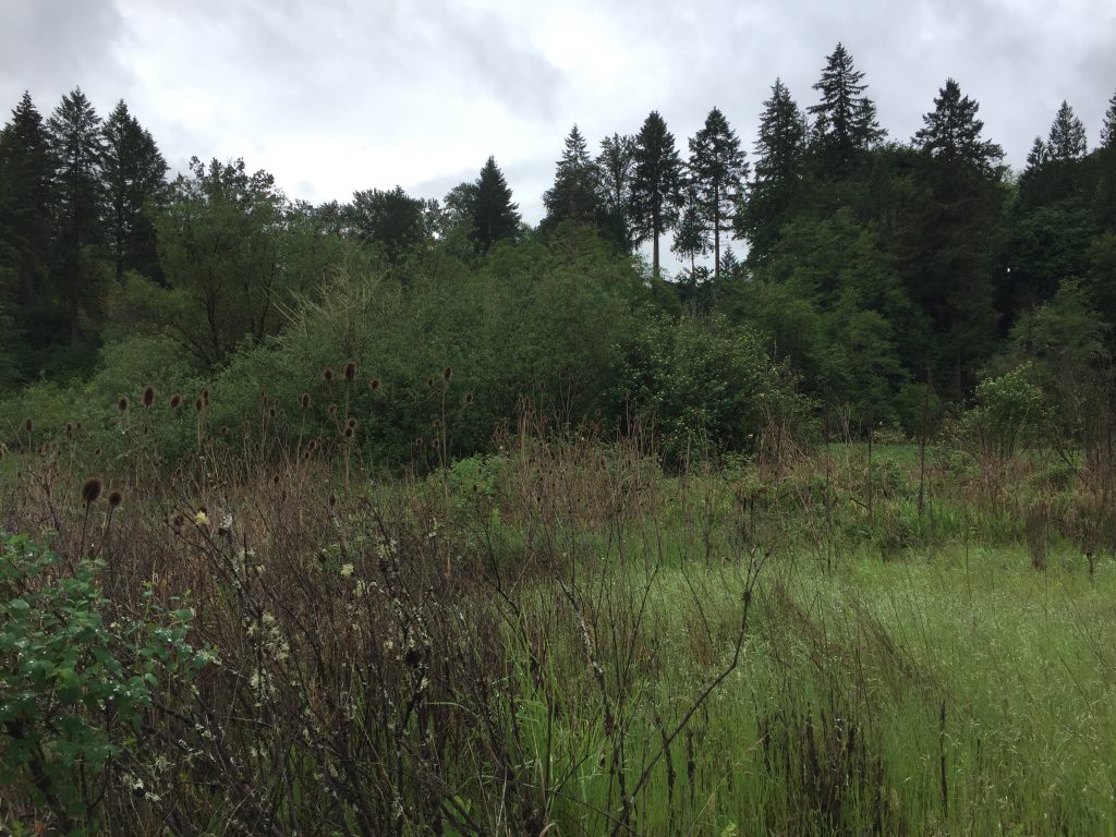
Clark County Legacy Lands along the East Fork Lewis River
Clark County Legacy Lands along the East Fork Lewis River
Clark County Legacy Lands along the East Fork Lewis River
Clark County Legacy Lands along the East Fork Lewis River
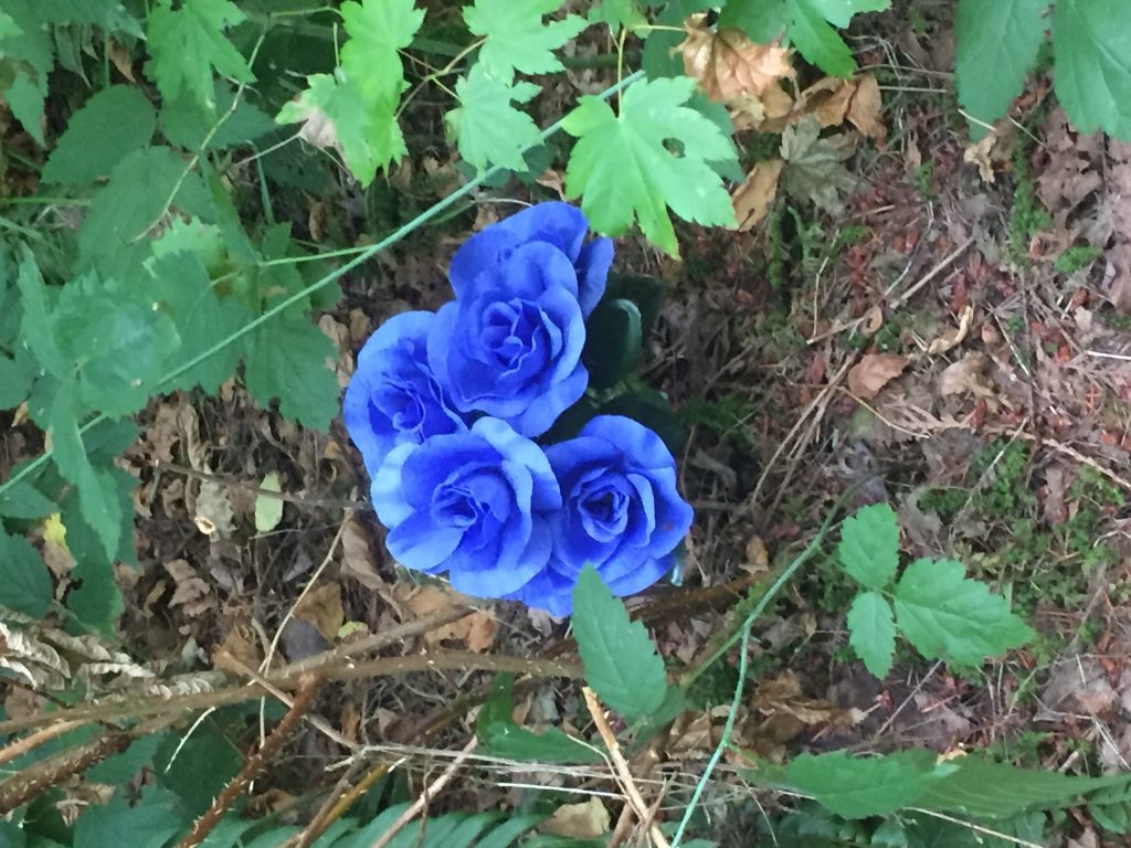
This area includes a campground and day use area. From the day use area there is a hiking trail that makes a 1.6+ mile loop. When I hiked this trail, I came across an incredible blue flower.